GO HIKE COLORADO
Get in Touch:
  • HOME
  • ABOUT
  • HIKES BY REGION
    • DENVER AREA >
      • Denver Mountain Parks
      • Jefferson County Open Space
      • Lakewood Parks
      • Denver Area Greenways
    • BOULDER AREA
    • DOUGLAS COUNTY
    • FORT COLLINS AREA
    • COLORADO SPRINGS AREA
    • FRONT RANGE
    • TENMILE & MOSQUITO RANGES
    • GORE RANGE
    • SANGRE DE CRISTO MOUNTAINS
    • PARK RANGE
    • SAWATCH RANGE
    • ELK MOUNTAINS
    • SAN JUAN MOUNTAINS
    • THE FLAT TOPS
    • GRAND MESA
    • COLORADO PLATEAU
    • EASTERN PLAINS
  • NATIONAL PARK HIKES
    • BENT'S OLD FORT NATIONAL HISTORIC SITE
    • BLACK CANYON OF THE GUNNISON NATIONAL PARK
    • COLORADO NATIONAL MONUMENT
    • CURECANTI NATIONAL RECREATION AREA
    • DINOSAUR NATIONAL MONUMENT
    • FLORISSANT FOSSIL BEDS NATIONAL MONUMENT
    • MESA VERDE NATIONAL PARK
    • ROCKY MOUNTAIN NATIONAL PARK
    • GREAT SAND DUNES NATIONAL PARK
    • HOVENWEEP NATIONAL MONUMENT
    • SAND CREEK MASSACRE NATIONAL HISTORIC SITE
    • YUCCA HOUSE NATIONAL MONUMENT
  • HIKES BY CATEGORY
    • HIKES TO ALPINE LAKES
    • HIKES TO PEAKS & PASSES
    • HIKES THROUGH CANYONS
    • HIKES WITH FALL COLORS
    • HIKES ALONG THE I-70 CORRIDOR
    • HIKES ON PAVED TRAILS
    • HIKES FOR KIDS
    • HIKES TO WATERFALLS
    • HIKES ALONG RIVERS
    • HIKES WITH ROCK FORMATIONS
    • HIKES WITH WILDFLOWERS
    • WINTER HIKES
  • NEWS
  • WEBCAMS
  • $UPPORT GHC
  • INTERACTIVE MAP

Mt. Evans (14,264ft)
West Ridge via Mt. Spaulding

Mount Evans Wilderness
Arapaho National Forest

  • Date Hiked: June 23, 2012

  • Distance: Approx. 5 miles (RT)
  • Elevation Gain: 2,300ft
  • Elevation Min/Max: 11,970 to 14,264ft
  • Trailhead Lat/Long: 39.598061º N; 105.640394º W
  • Managing Agency: U.S. Forest Service
  • Fee: $10 (Annual National Parks Pass Accepted)

Mt. Evans Rec. Area Website (USFS)
Picture

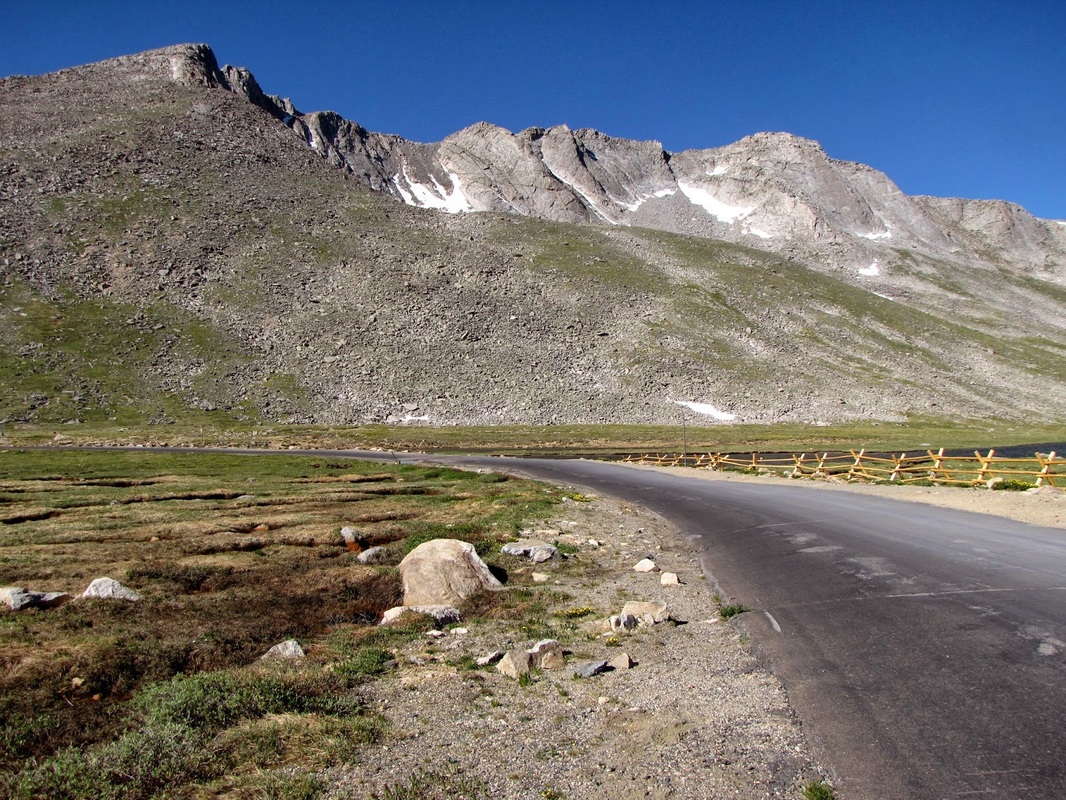
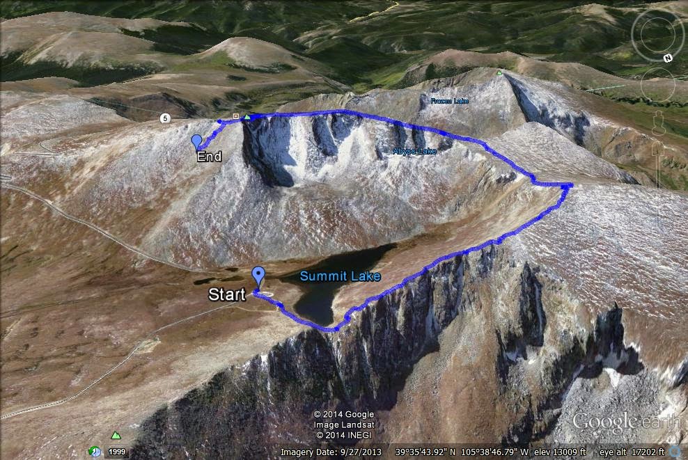
Directions:  This route to the summit of Mt. Evans starts at Summit Lake (Denver Mountain Park).  Summit Lake is the last stop before the summit parking lot on Mt. Evans Road.  From Denver take I-70 west to Idaho Springs, take the Mt. Evans Exit south and take Chicago Creek Road to Mt. Evans Road, just after Echo Lake.  The road is closed in winter and there is a fee to drive up the road.  If you have a National Parks Pass it will work here, even though the area is managed by the U.S. Forest Service, not the National Park Service.

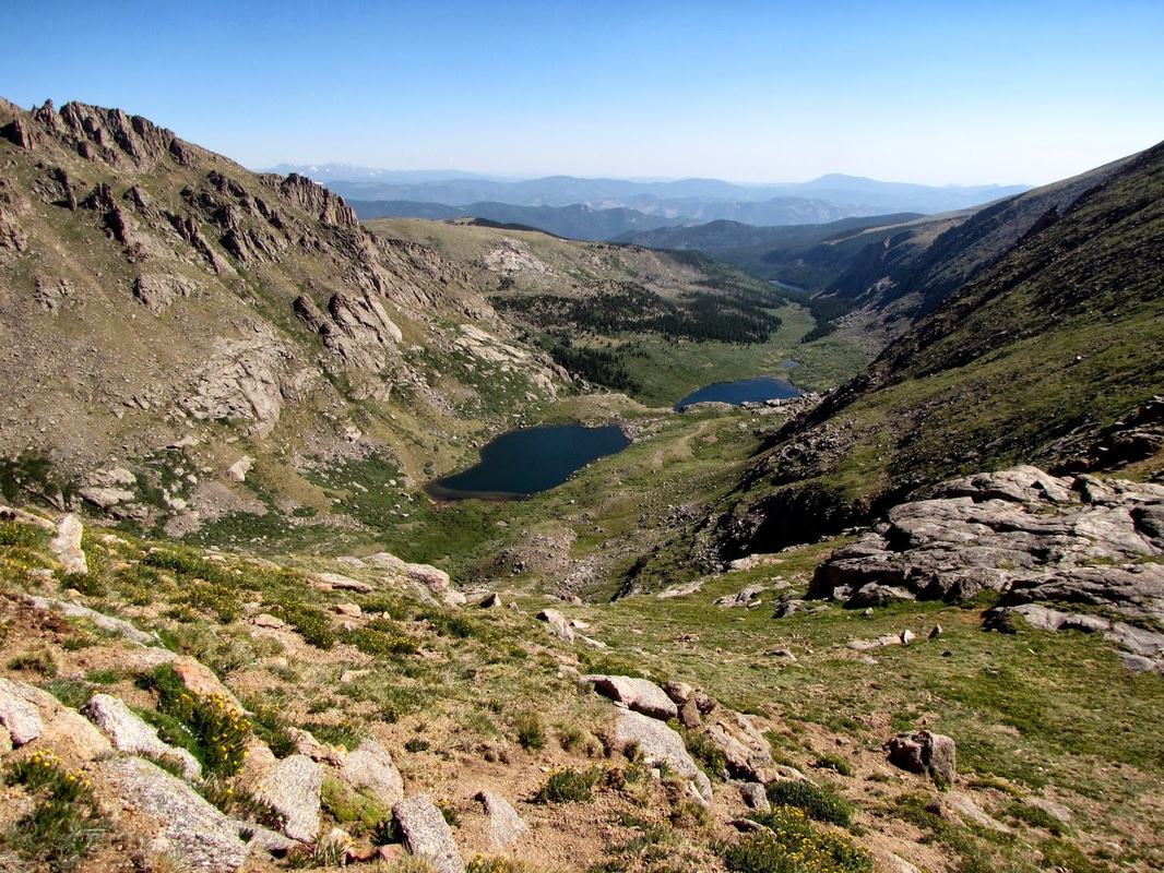
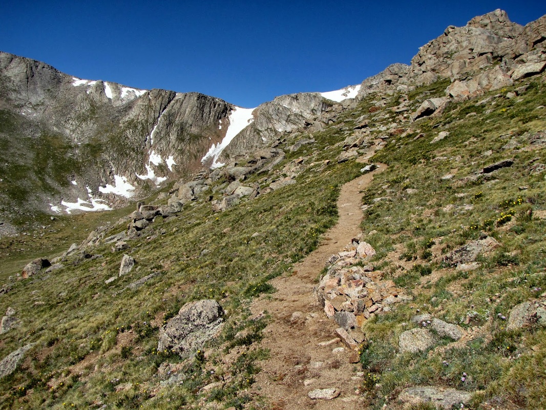
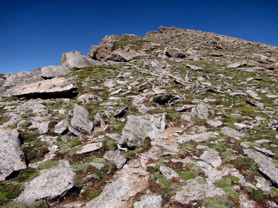
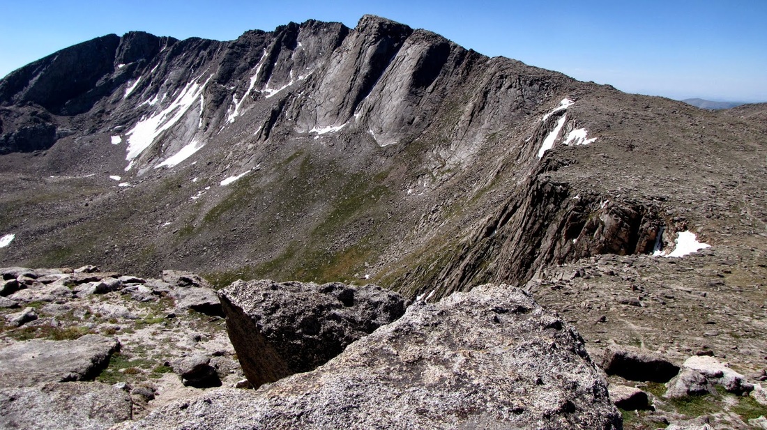
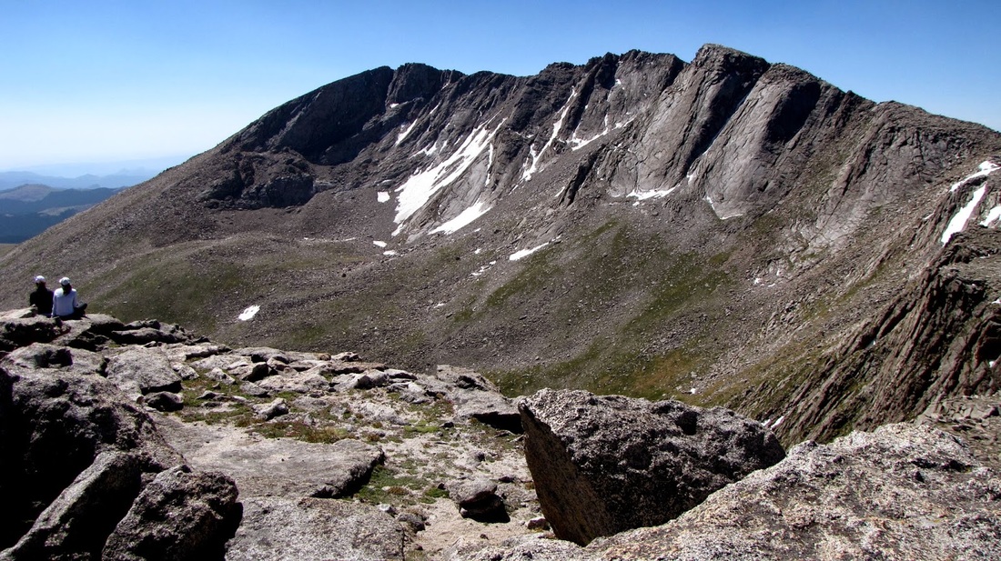
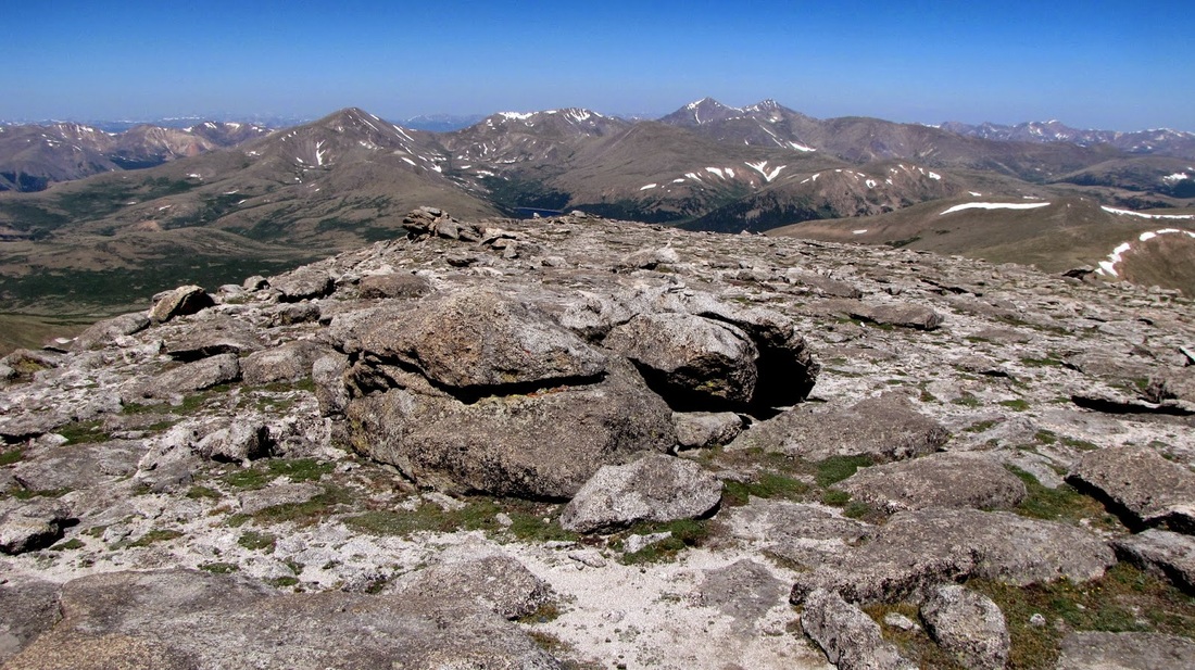
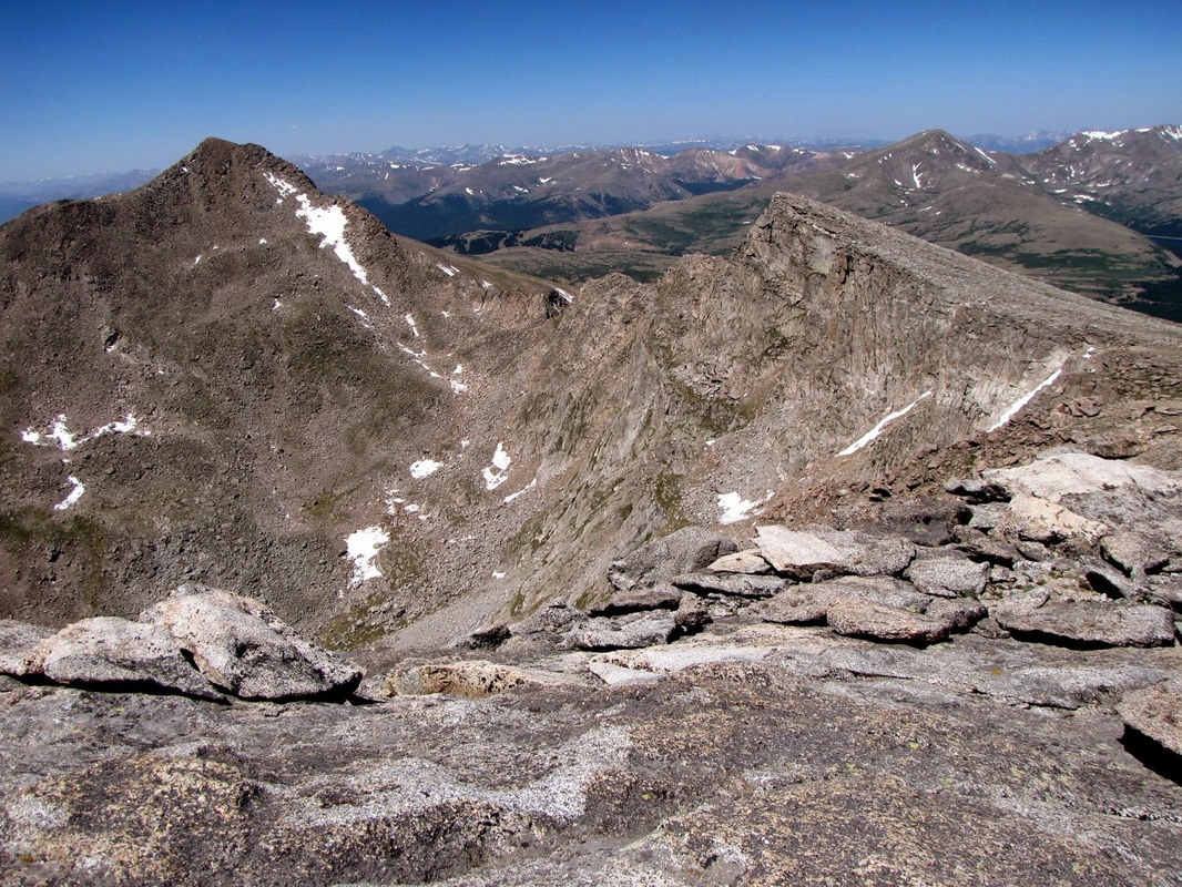
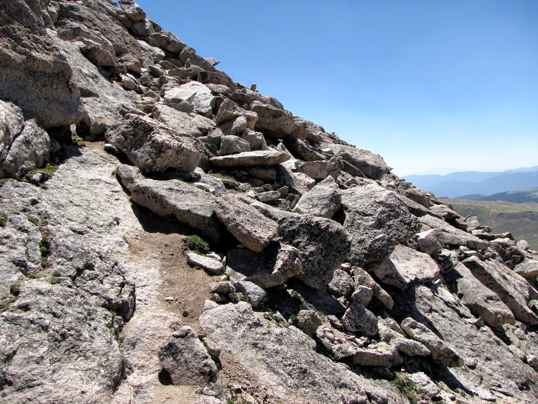
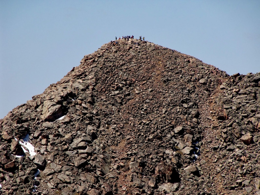
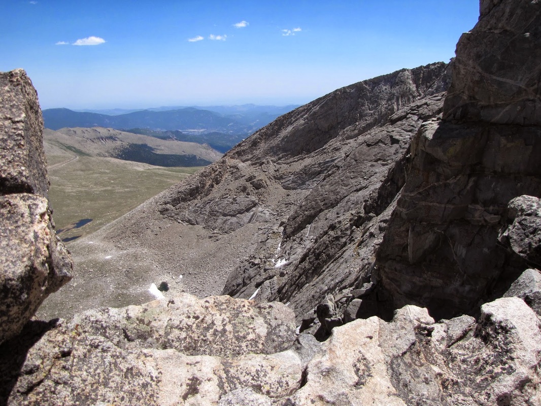
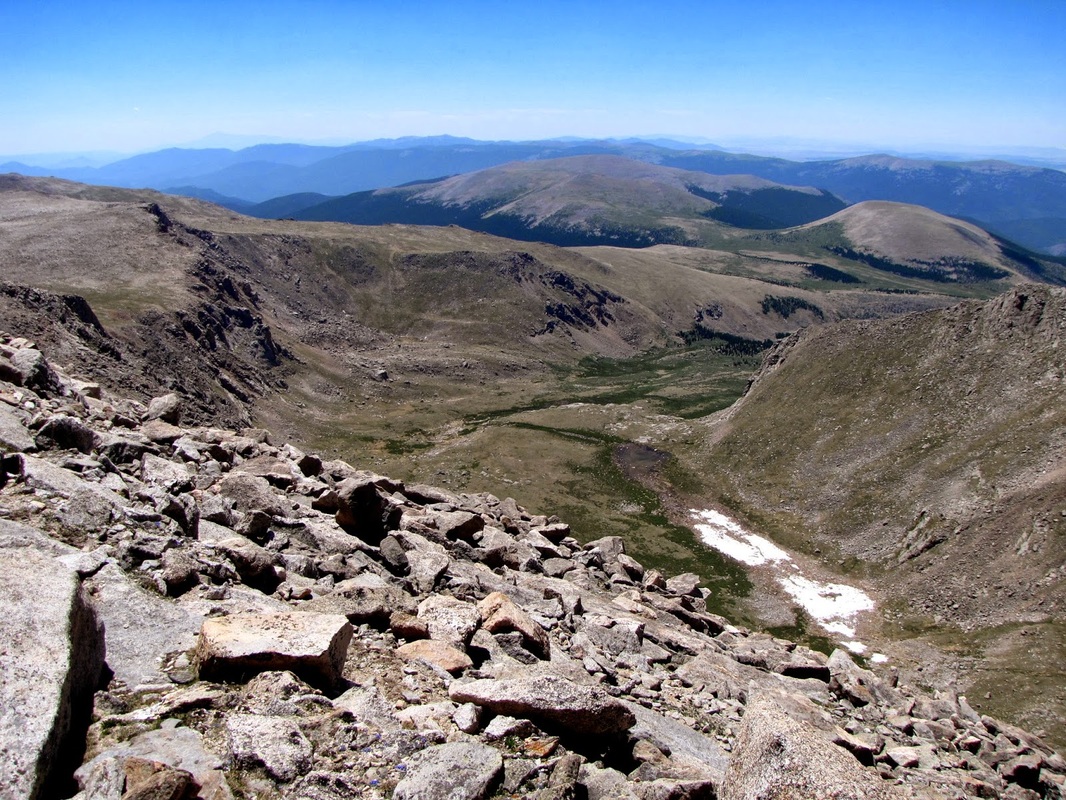
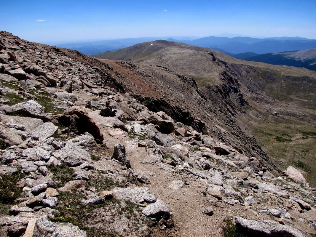
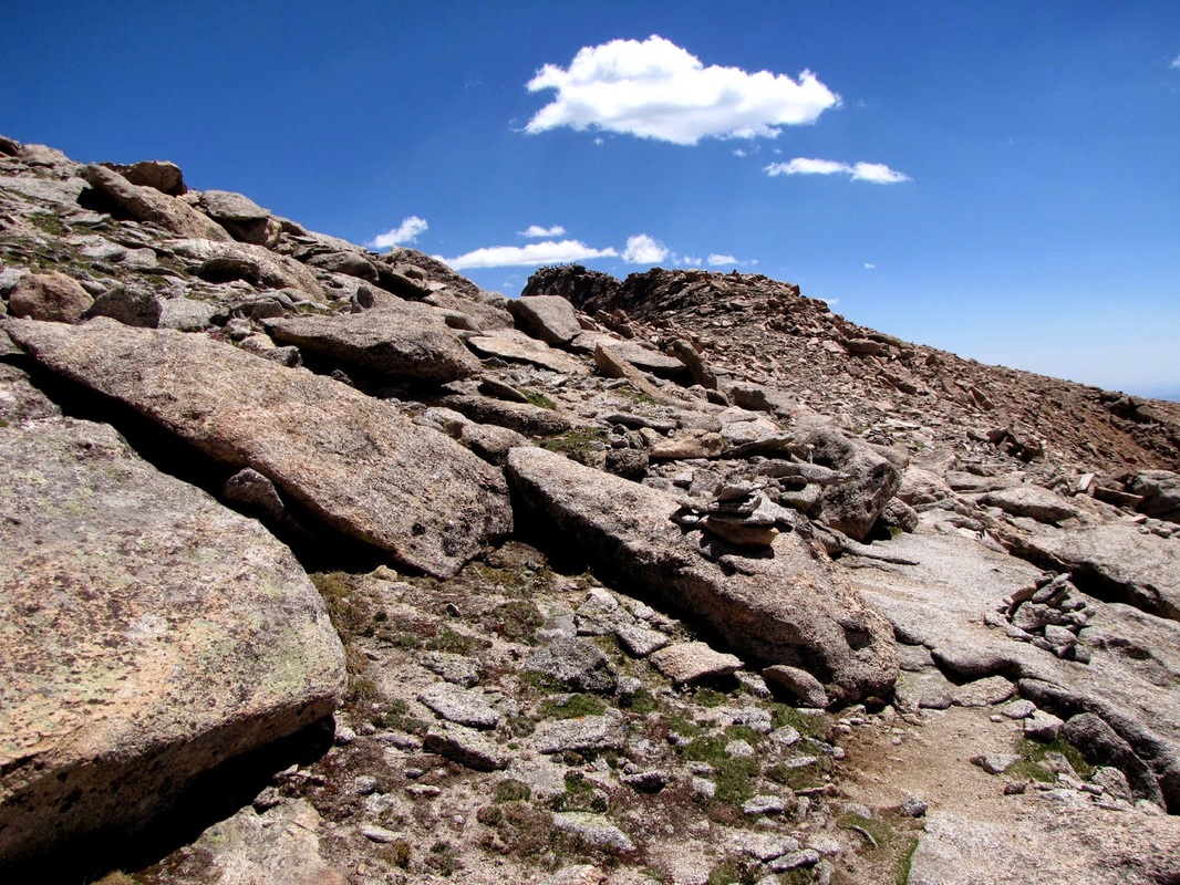
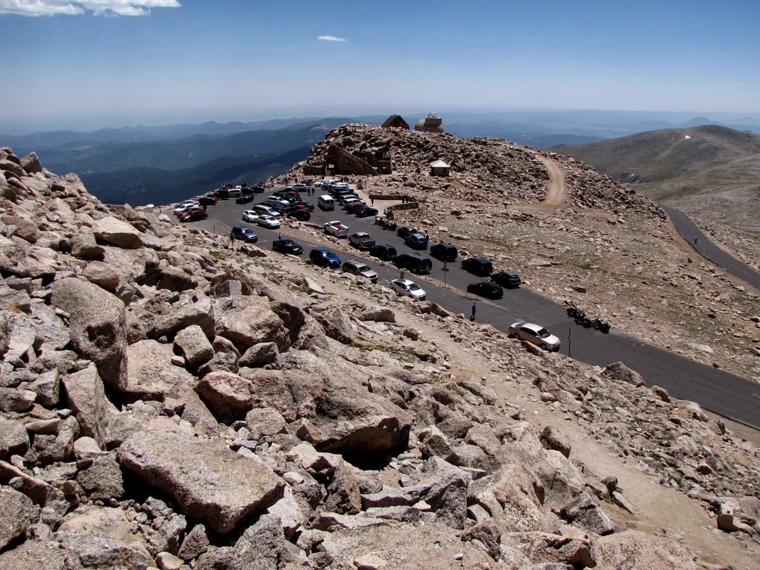
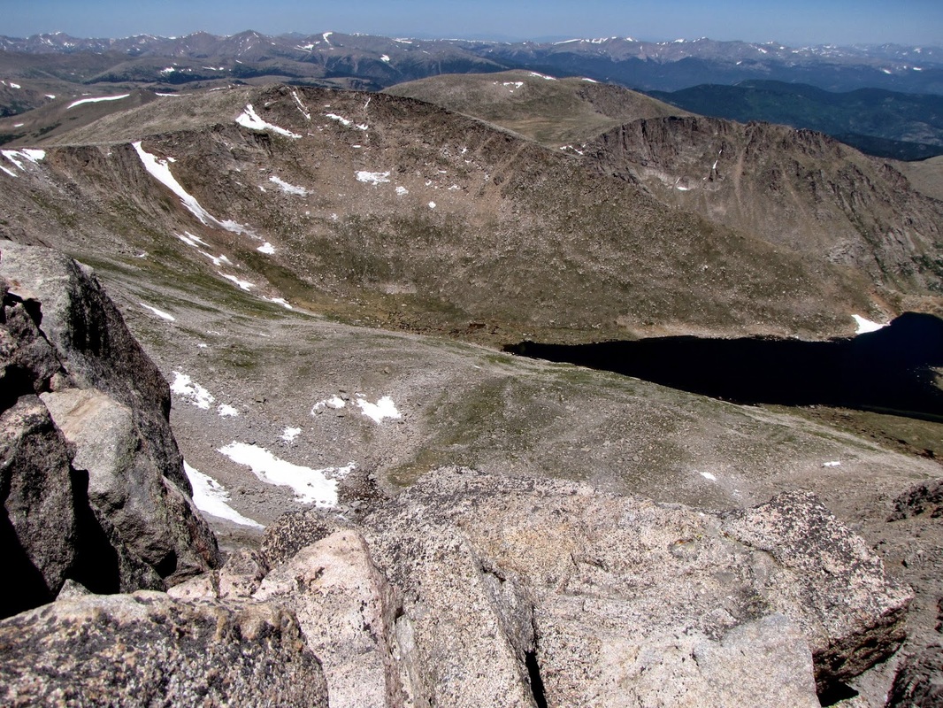
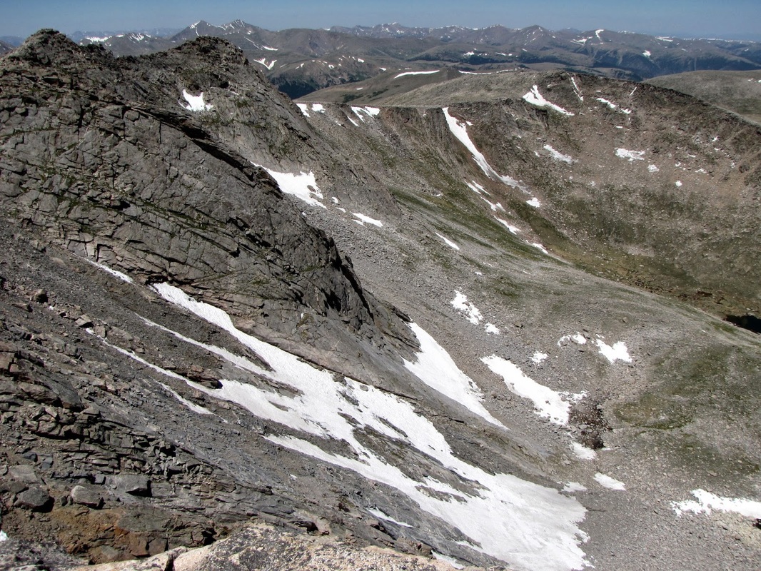
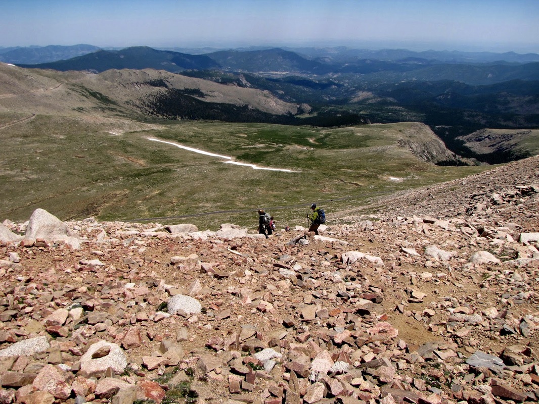
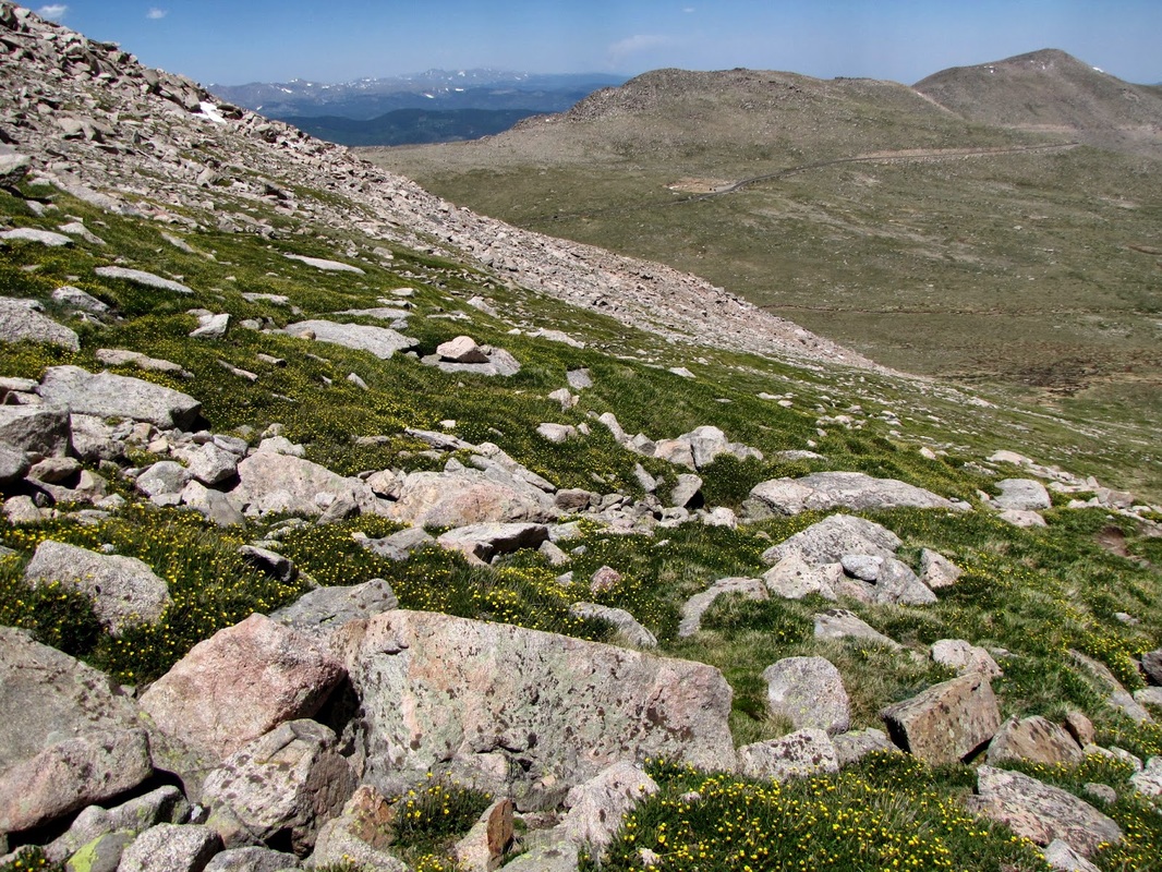
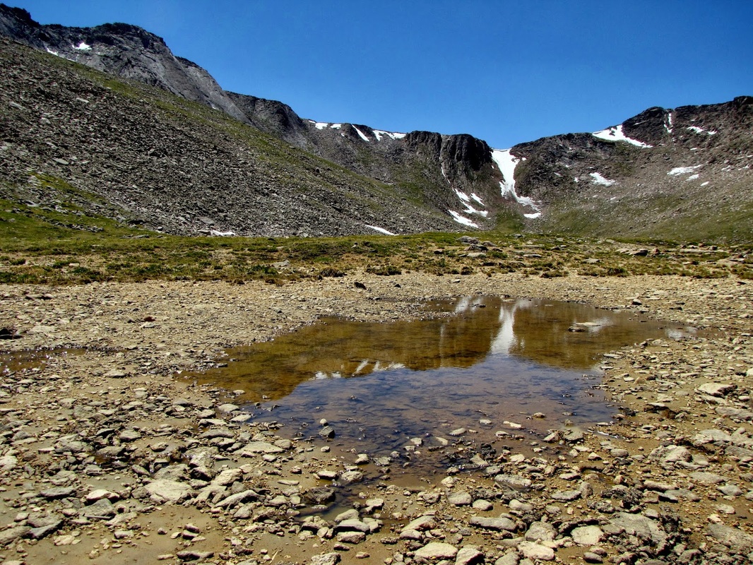
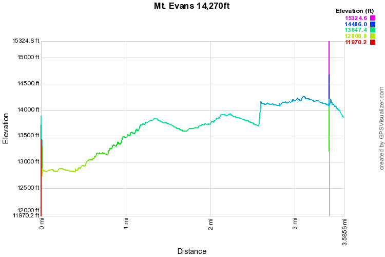
Climbing Mt. Evans is a funny experience.  You work really hard and then get to the top and find yourself surrounded by a crowd of tourists that drove to the top.  That being said, the hike up from Summit Lake is nothing short of spectacular.  From the time you leave Summit Lake until you reach Evans, you get a true wilderness experience.

As usual, I'll defer the detailed trail description to the good folks at www.14ers.com, just a few thoughts...  The hike between the summit of Mt. Spaulding and the Summit of Evans is incredibly fun.  The view of the Sawtooth Ridge and Mt. Bierstadt is stunning and it's really cool to see the crowd of people on Bierstadt from another 14er.  The trail gets quite exposed at times, make no mistake you are climbing a 14er on this hike, take all the same precautions that you would on any other 14er. 

I chose to descend via the northeast face, and my GPS lost me half way down.  This trail is very steep but it is the quickest route back to Summit Lake and makes for a nice loop hike.

Enjoy this incredible hike, and if you've never driven up to Evans, you should probably do that also, it's actually very cool.

© Go Hike Colorado, 2020.  All Rights Reserved. 
Use of photographs without prior authorization is
​strictly prohibited.


Contact us at:
[email protected]
Legal Disclaimer - Information provided on this site is based upon our own observations, always double check information with the appropriate land management agency before heading into the backcountry.  Backcountry travel is inherently dangerous, please take all proper precautions.  Go Hike Colorado is not responsible for injury or incident.