|
DIRECTIONS: From Fort Collins, head north on Hwy 287 out of town towards Laporte. When you reach the junction with route 14, stay on 287 as it heads north to Livermore. Turn left (west) on County Road 74e (Red Feather Lakes Road). Follow 74e for 23.7 miles through the Red Feather Lakes Villiage area to Manhattan Road. Turn left (south) on Manhattan Road, good dirt road, and follow it for just about 2 miles to the Molly Lake Trailhead turnoff. A short dirt road takes you to the trailhead.
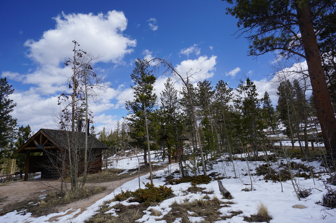
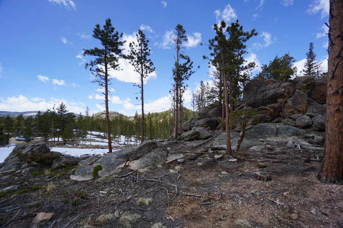
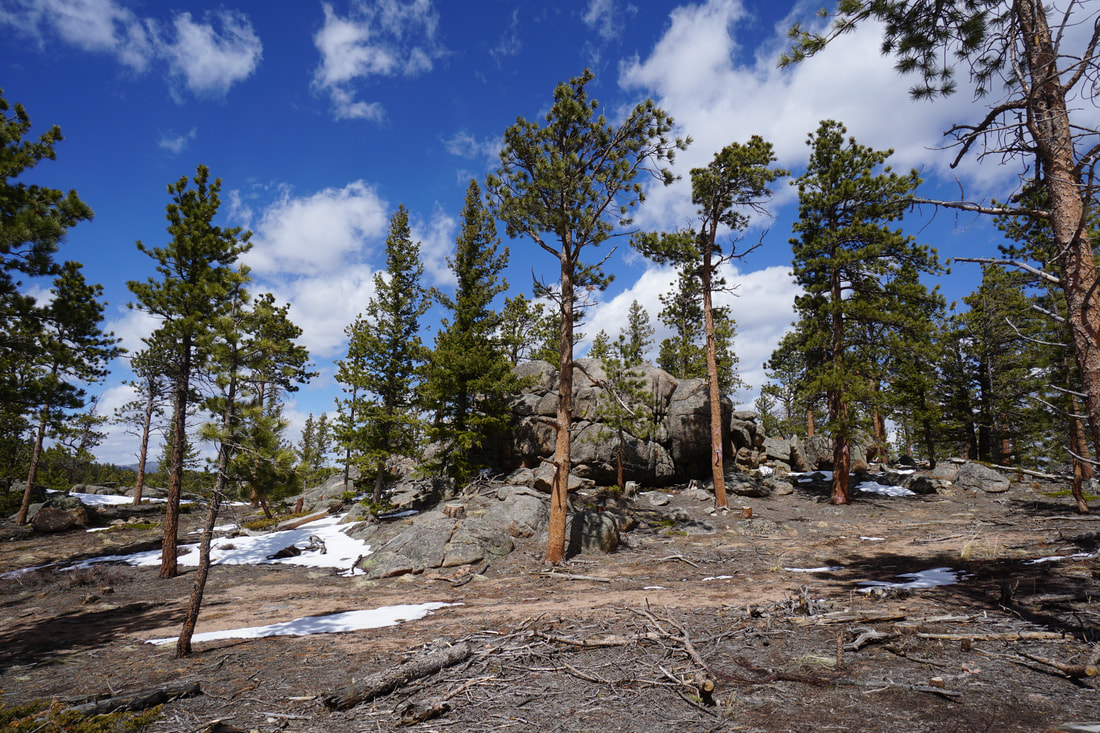
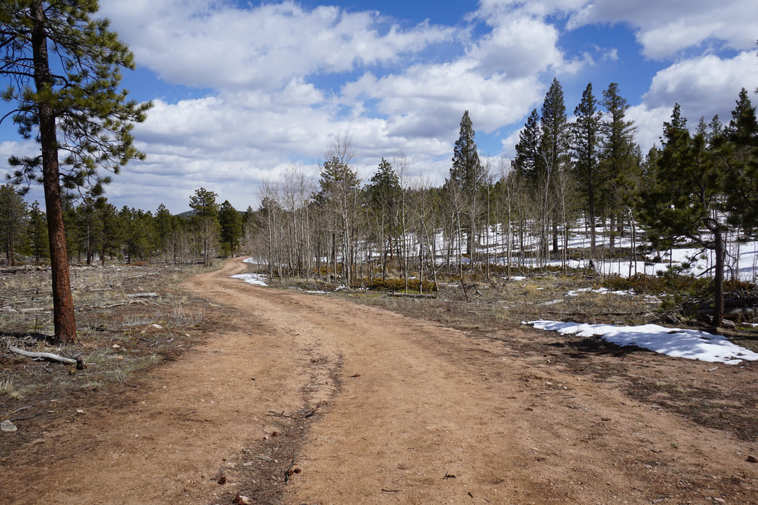
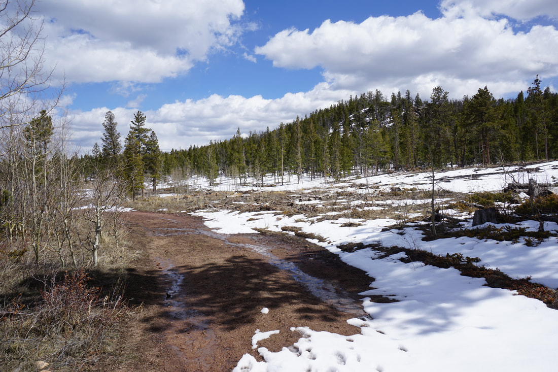
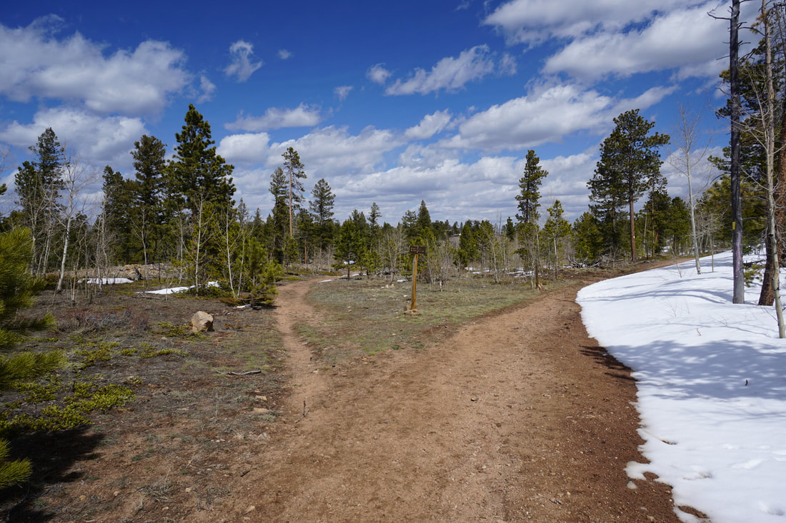
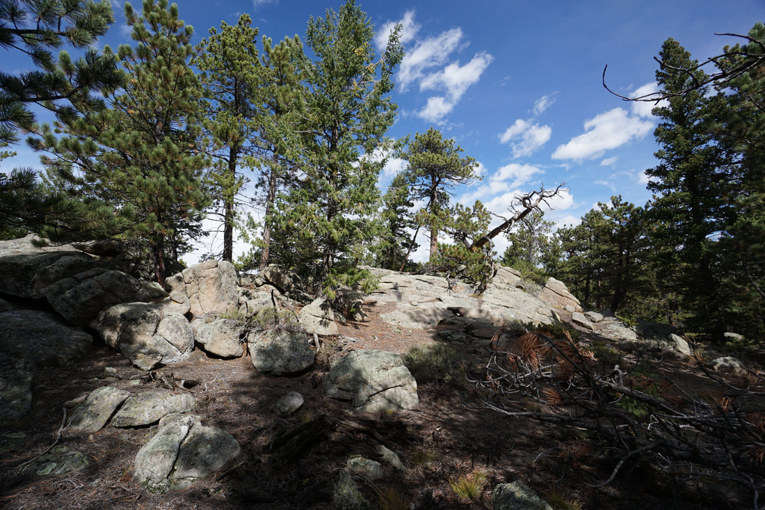
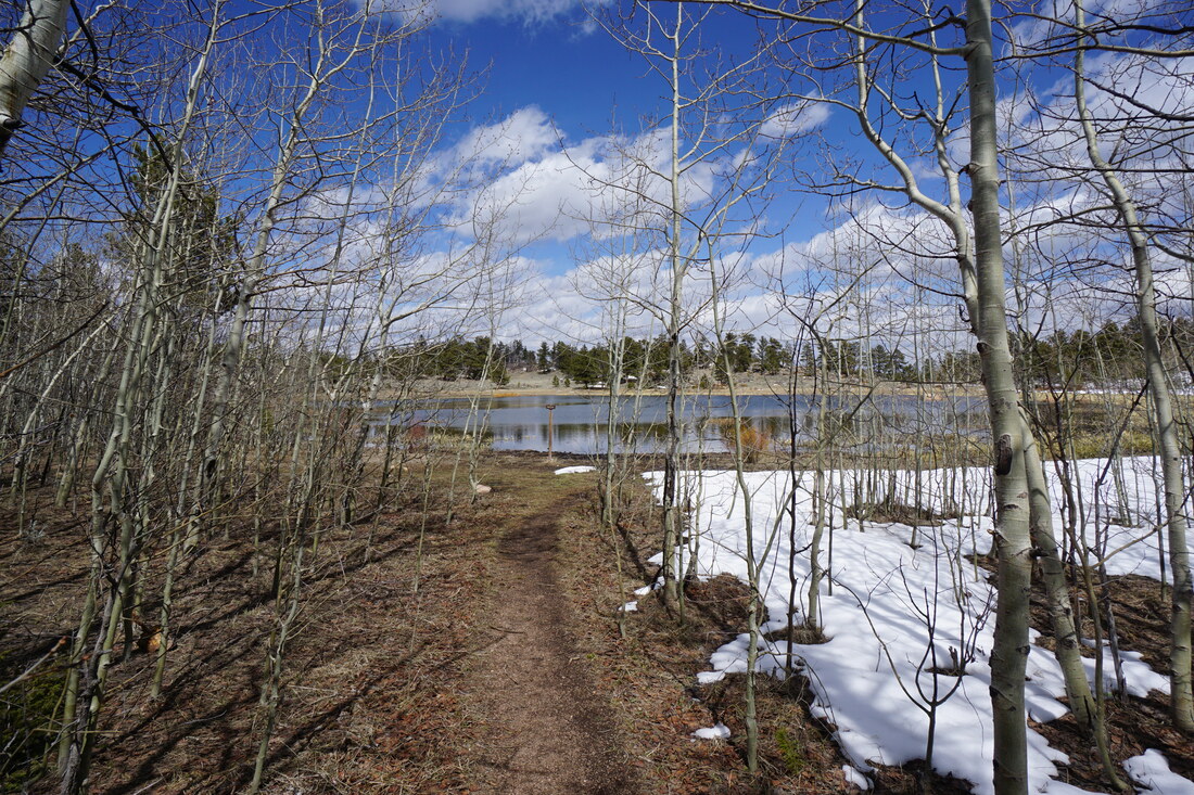
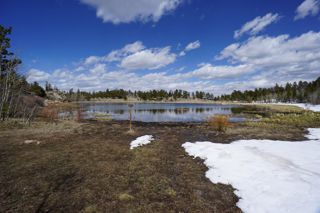
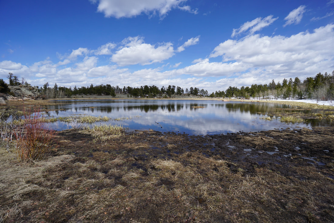
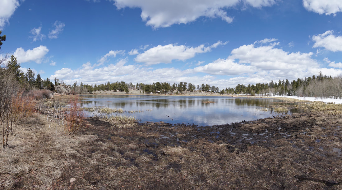
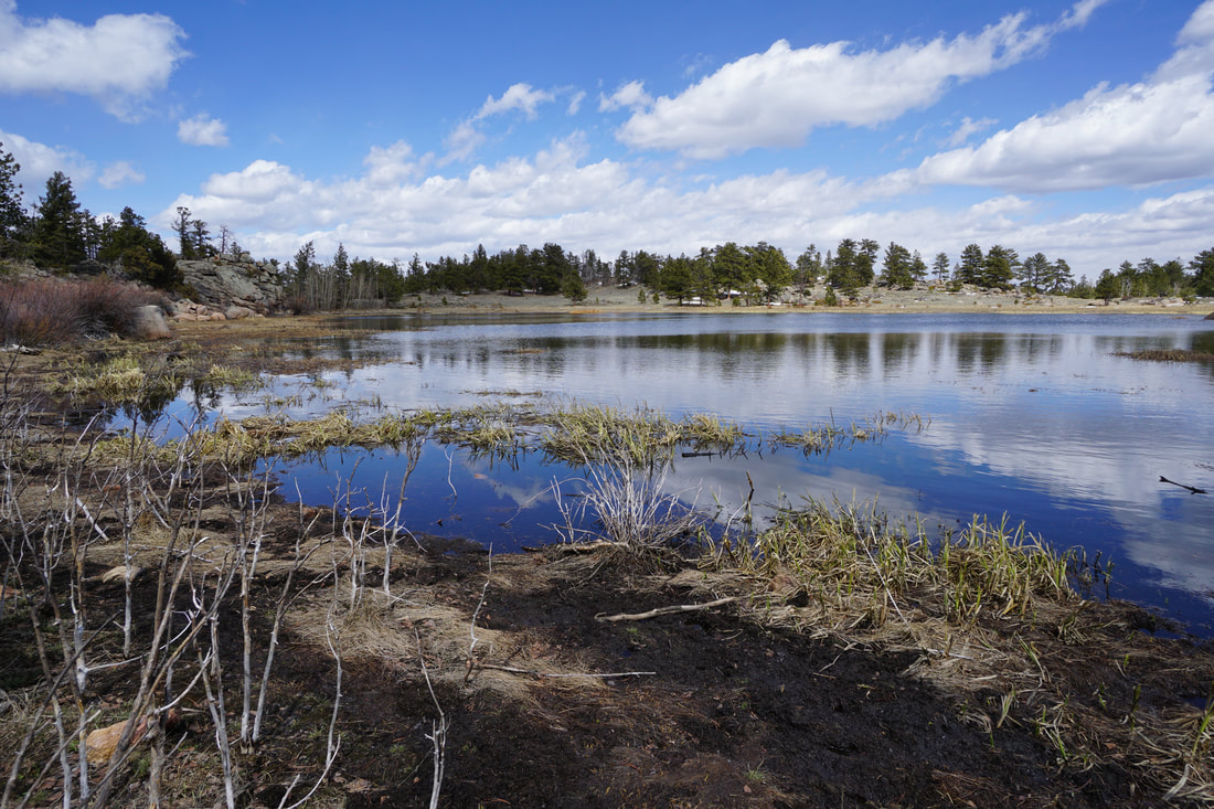
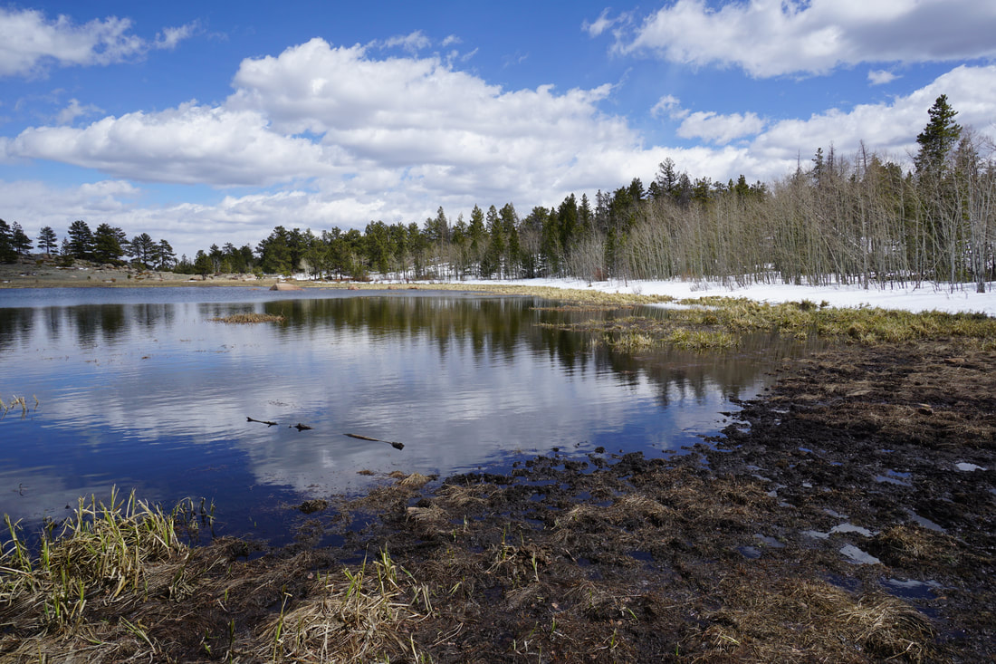
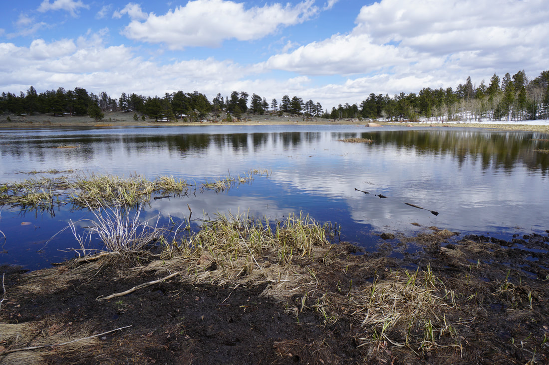
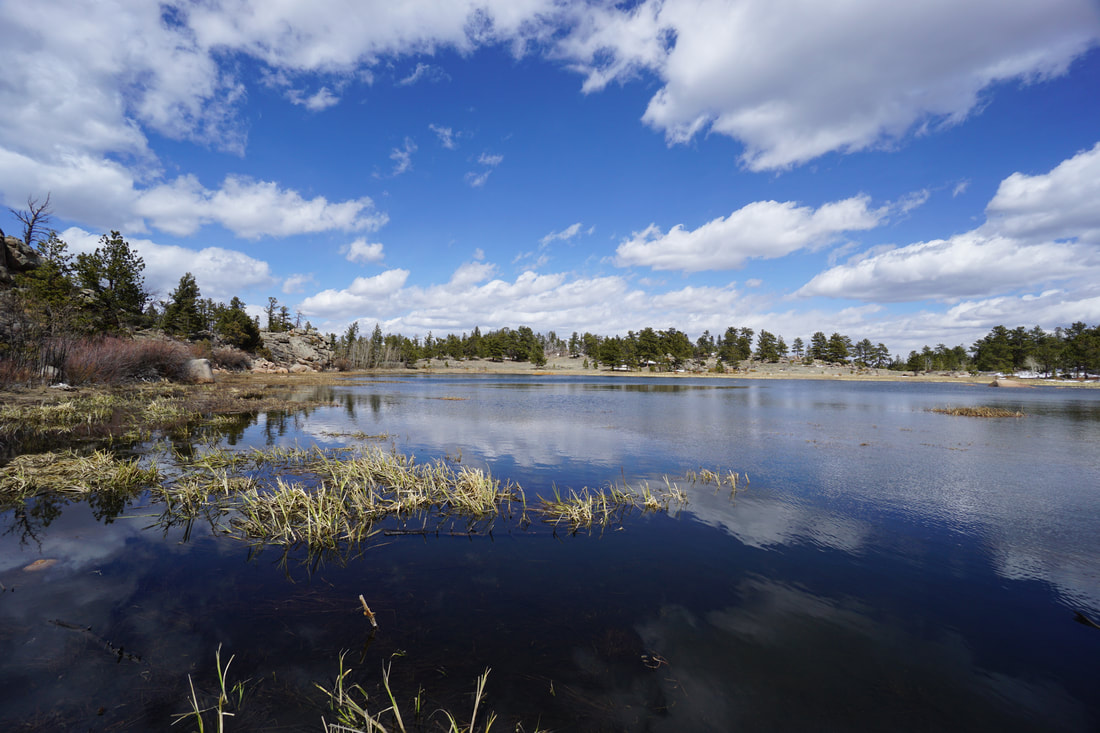
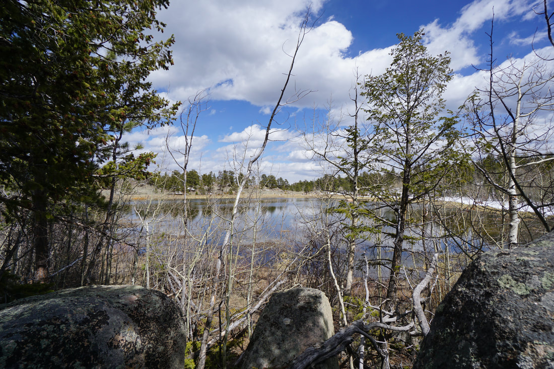
The short but sweet hike to Molly Lake is a nice introduction to the Red Feather Lakes area of Roosevelt National Forest. The trail explores the western end of the Granite Ridge Trail (a much longer hike) and is great for a quick easy hike or a hike with the kids. The lake is idyllic with nice camp sites along the treelined shore and great granite boulders for fishing or relaxing. I'm sure this trail gets very crowded on summer weekends so plan accordingly.
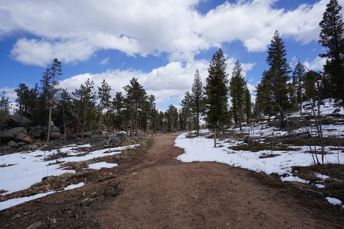
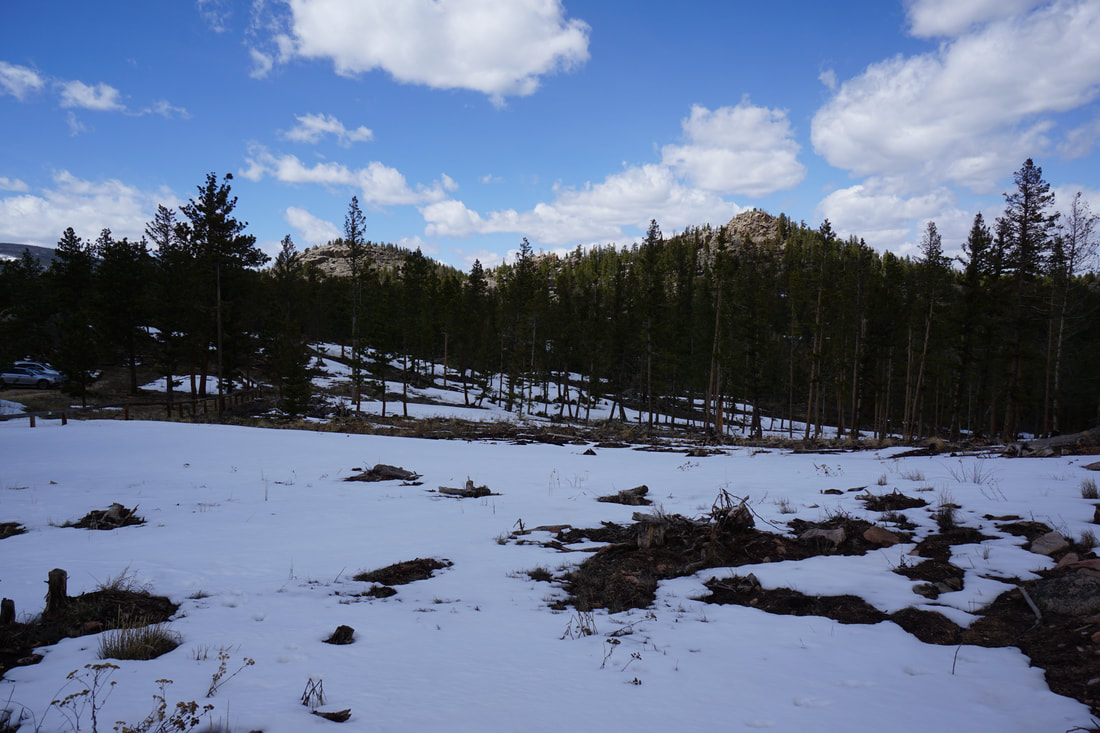
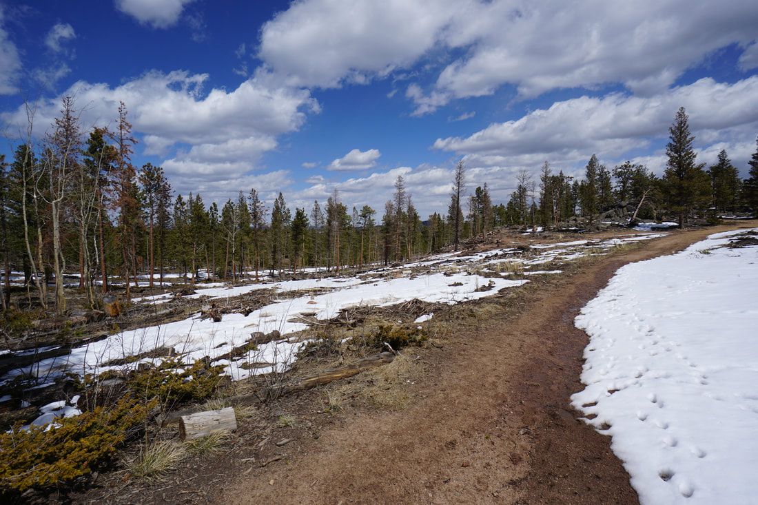
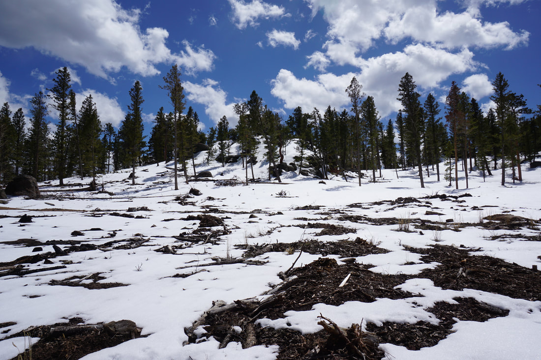
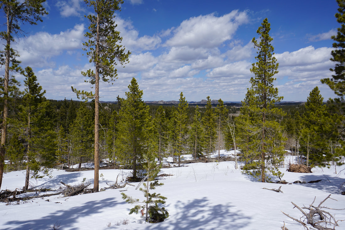
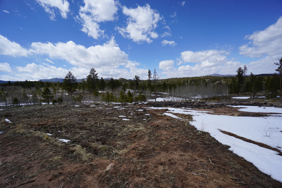
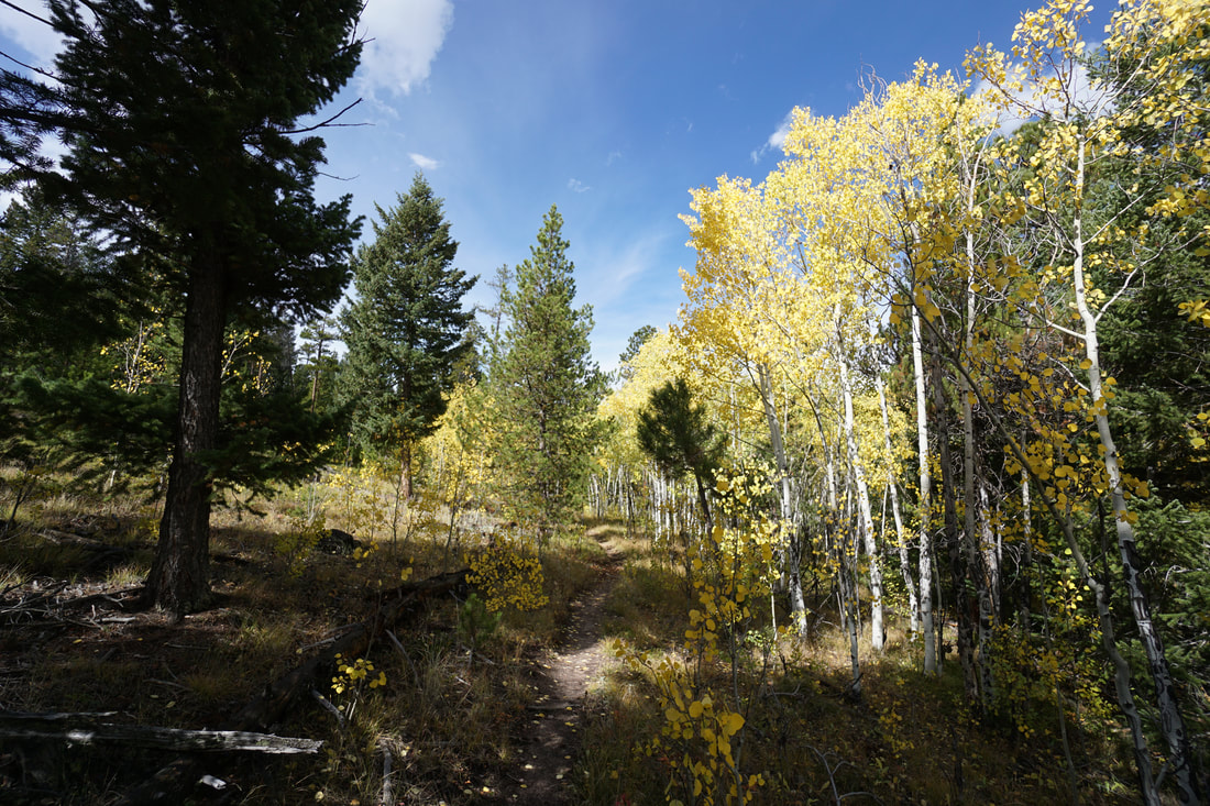
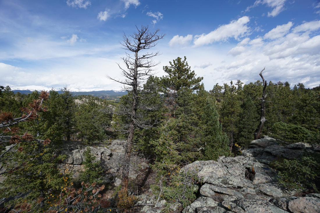
From the trailhead the wide trail passes through pine and aspen forest and skirts around great mounds of granite boulders. There are some nice views from the start of the trail and you might even be able to get some views of the Rawah Wilderness Peaks in the distance on a clear day. The trail is easy to follow and descends gently as it approaches the junction for Molly Lake. A short trail takes you down to the lake shore. You can wind your way around the lake for a bit more mileage if you wish. After you've completed your recreating (is that a word), head back the way you came for a total hike of just under 2 miles. |
|
- HOME
- ABOUT
-
HIKES BY REGION
-
NATIONAL PARK HIKES
- BENT'S OLD FORT NATIONAL HISTORIC SITE
- BLACK CANYON OF THE GUNNISON NATIONAL PARK
- COLORADO NATIONAL MONUMENT
- CURECANTI NATIONAL RECREATION AREA
- DINOSAUR NATIONAL MONUMENT
- FLORISSANT FOSSIL BEDS NATIONAL MONUMENT
- MESA VERDE NATIONAL PARK
- ROCKY MOUNTAIN NATIONAL PARK
- GREAT SAND DUNES NATIONAL PARK
- HOVENWEEP NATIONAL MONUMENT
- SAND CREEK MASSACRE NATIONAL HISTORIC SITE
- YUCCA HOUSE NATIONAL MONUMENT
- HIKES BY CATEGORY
- NEWS
- WEBCAMS
- $UPPORT GHC
- INTERACTIVE MAP
Molly Lake via Granite Ridge Trail
Roosevelt National Forest
Date Hiked: April 25, 2020
Distance: 1.8 mi (RT)
Elevation Gain: 200 ft
Elevation Min/Max: 8,464 to 8,552 ft
Trailhead Lat/Long: 40.76808, -105.60589
Managing Agency: U.S. Forest Service
Fee: None