|
Directions: The entrance to Mesa Verde is located off of Hwy 160, 36 miles west of Durango and 10 east of Cortez. There is one main park road and the Petroglyph Point Trailhead is located at the end of the road near Spruce Treehouse and Balcony House.
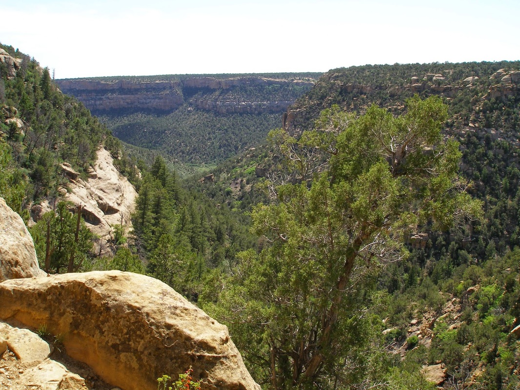
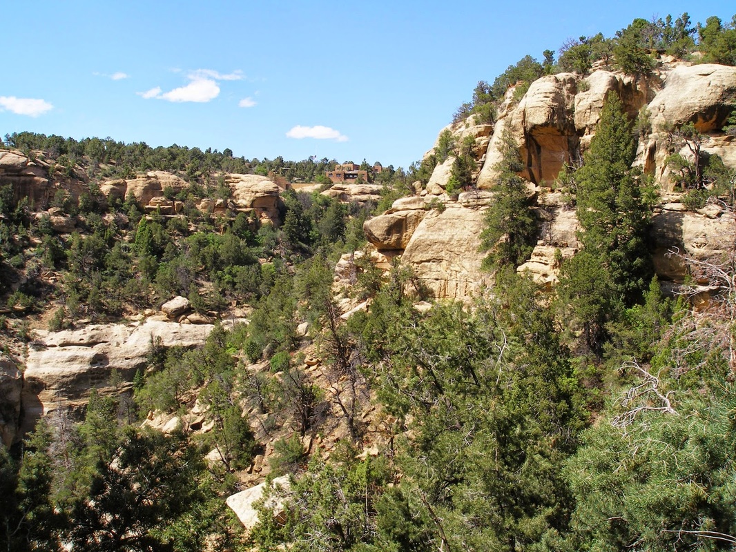
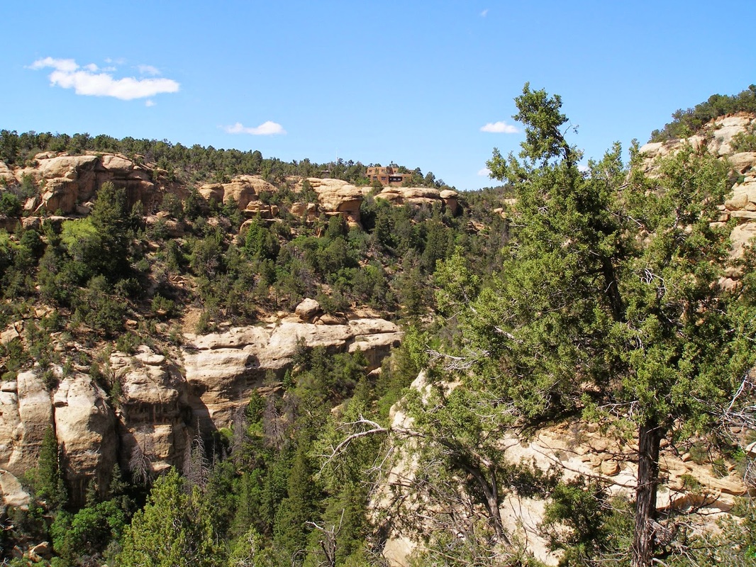
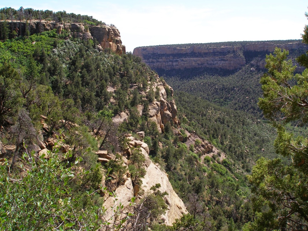
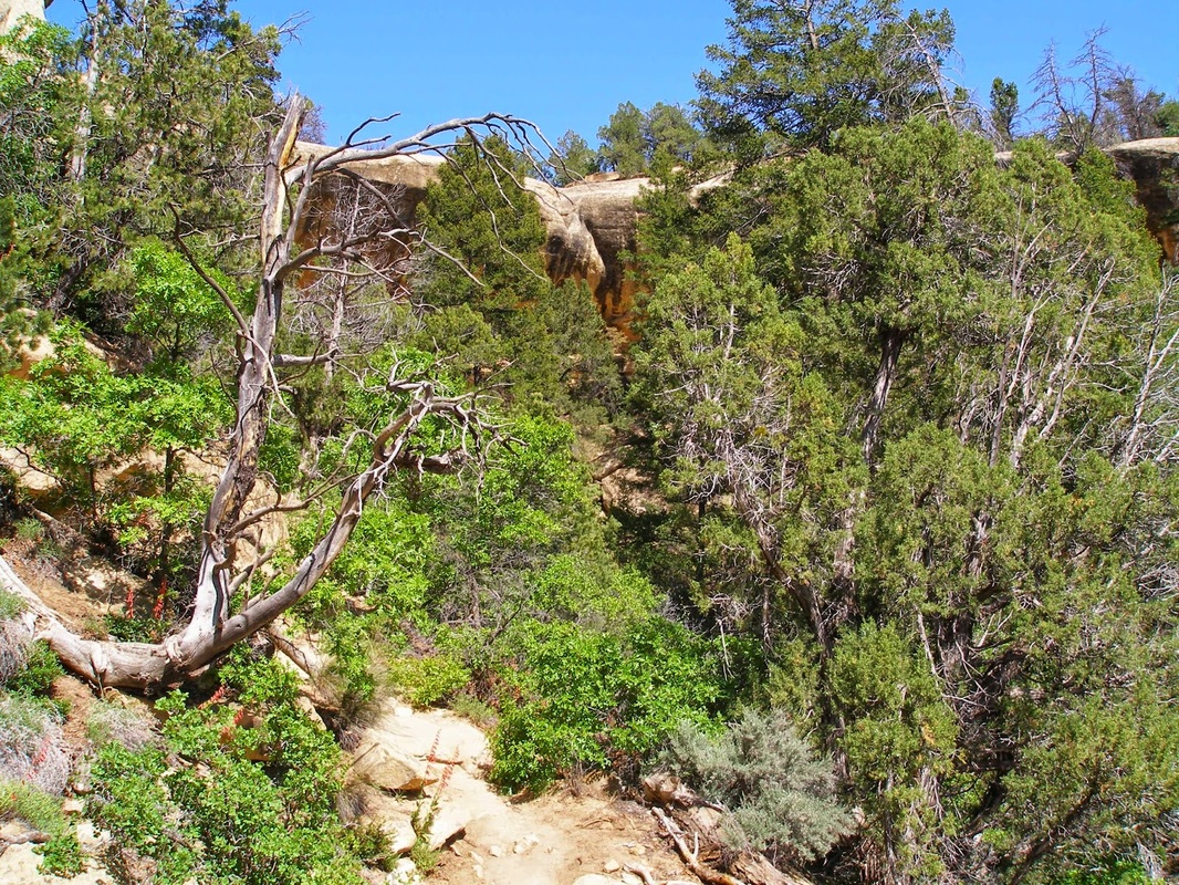
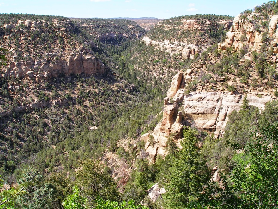
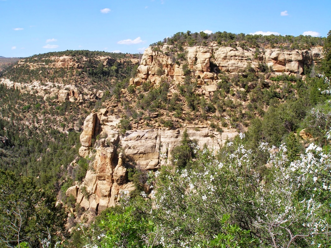
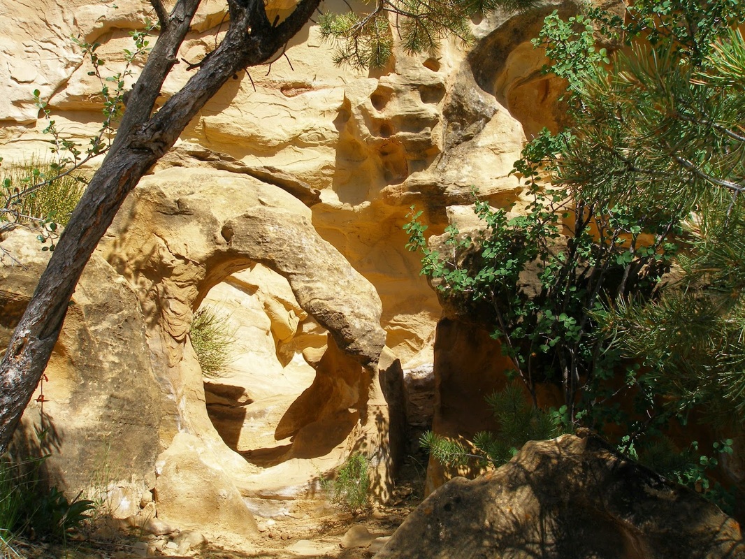
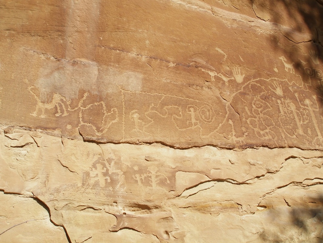
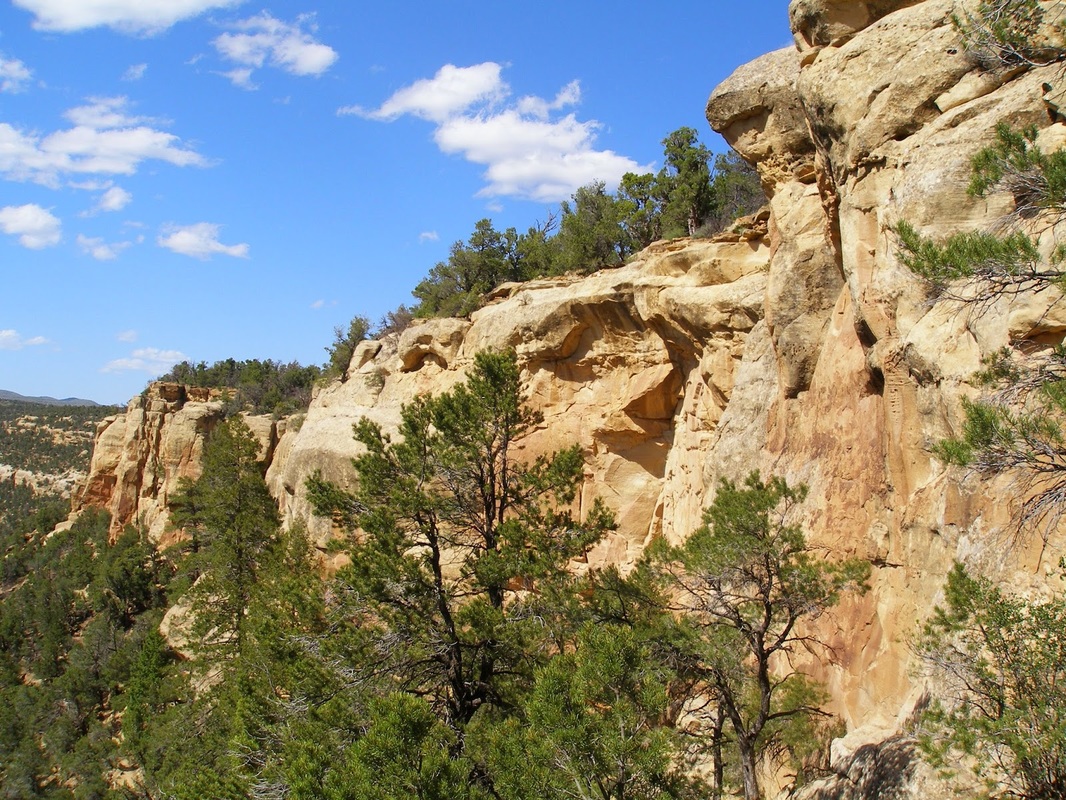
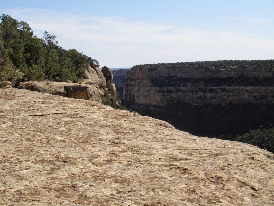
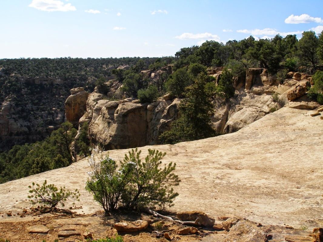
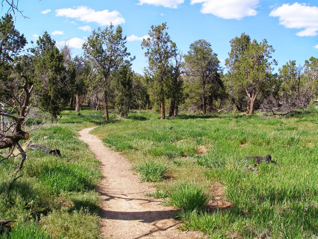
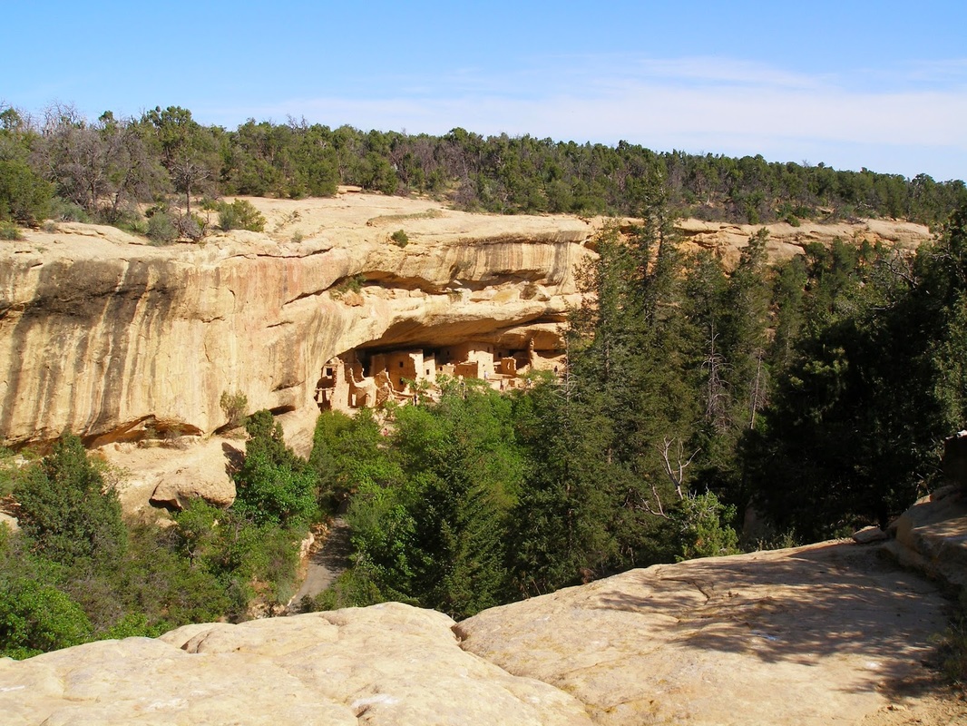
There are a number of moderate and long hikes in Mesa Verde and Petroglyph Point is a great option to get away from the crowds and get intimate with the surrounding landscape. Start the hike on the trail to the Spruce Treehouse (see these two attractions together). The first part of the hike will take you through scrub oak and evergreen forests that cut through the side of the canyon wall. There are many nice viewpoints of the canyon along the way. There are also really fun rock formations that you need to climb over, under, and through. These obstacles make this trail a riot for kids. At the end of the first segment, you'll come to the very impressive Petroglyphs drawn into the cliff walls. At this point, the trail ascends the canyon and puts you on the canyon rim. This flat mesa top provides the landscape for your hike back. The canyon views are impressive and in the spring, you'll find out just why this area is called Mesa Verde, as the foliage is green and lush (for a desert anyway...). The trail takes you back to Spruce Treehouse and the Visitor's Center. All in all, this is a great easy hike with ample opportunities to get away from the crowds. |
|
- HOME
- ABOUT
-
HIKES BY REGION
-
NATIONAL PARK HIKES
- BENT'S OLD FORT NATIONAL HISTORIC SITE
- BLACK CANYON OF THE GUNNISON NATIONAL PARK
- COLORADO NATIONAL MONUMENT
- CURECANTI NATIONAL RECREATION AREA
- DINOSAUR NATIONAL MONUMENT
- FLORISSANT FOSSIL BEDS NATIONAL MONUMENT
- MESA VERDE NATIONAL PARK
- ROCKY MOUNTAIN NATIONAL PARK
- GREAT SAND DUNES NATIONAL PARK
- HOVENWEEP NATIONAL MONUMENT
- SAND CREEK MASSACRE NATIONAL HISTORIC SITE
- YUCCA HOUSE NATIONAL MONUMENT
- HIKES BY CATEGORY
- NEWS
- WEBCAMS
- $UPPORT GHC
- INTERACTIVE MAP
Petroglyph Point
Mesa Verde National Park