|
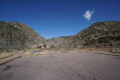
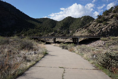
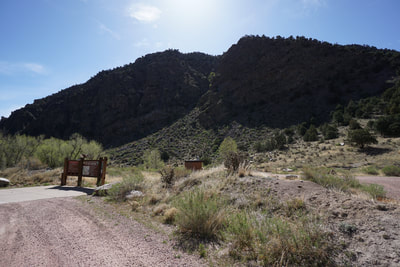
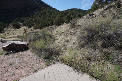
DIRECTIONS: The parking area to access McIntyre Hills WSA is at the Five Points Recreation Area along the Arkansas River and Hwy 50 in between Cañon City and Texas Creek, CO. The trailhead is located in the Five Points Campground south of Hwy 50 and there is a paved walkway that takes you from the parking area to the campsite, under Hwy 50.
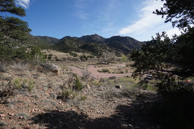
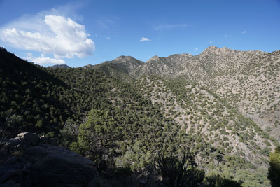
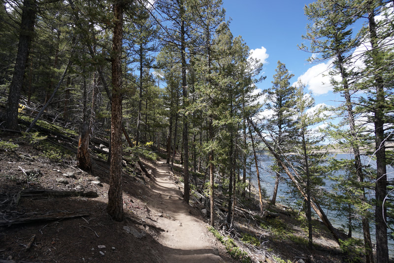
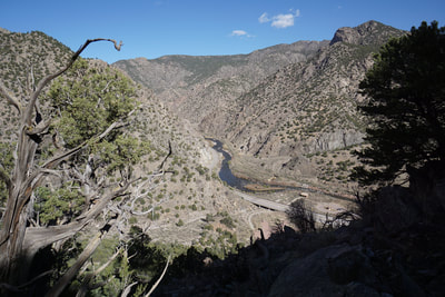
McIntyre Hills Wilderness Study Area is an undeveloped, protected, and rugged area situated along the Arkansas River at the northern end of the Wet Mountains. There are no official trails in this area even though Colorado State Parks says there is on the Arkansas Headwaters Recreation Area website hiking page (see link above). According to the website a trail and trail map are located between Camp sites #4 and #5. While this probably was true at some point, it is no longer accurate. When I went exploring in this area, I followed the directions but found no map. I did (after some poking around) find a faint trail and followed it. I realized later that the "official trail" in this area was not the trail that I wound up following, more on this later.
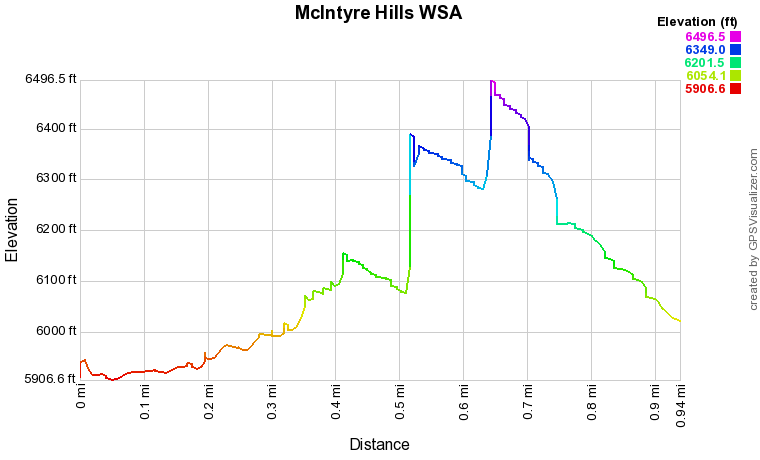
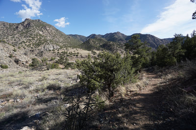
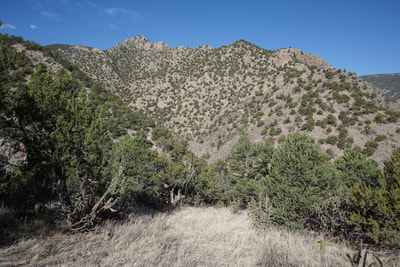
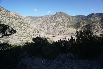
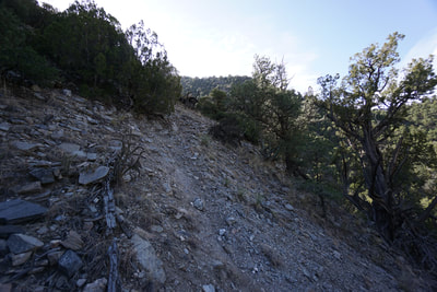
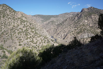
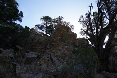
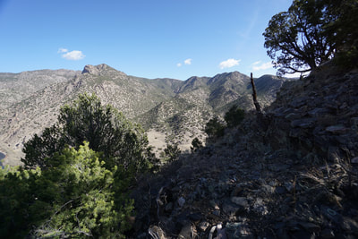
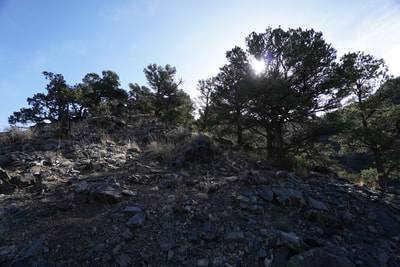
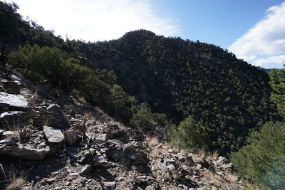
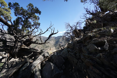
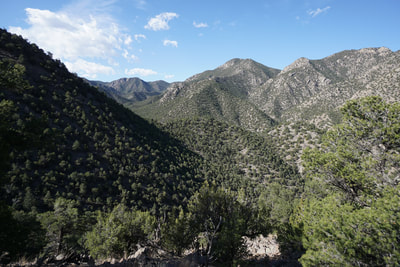
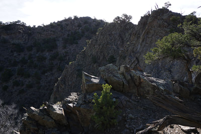
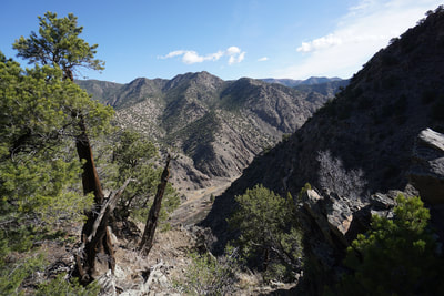
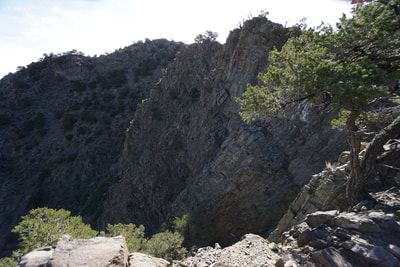
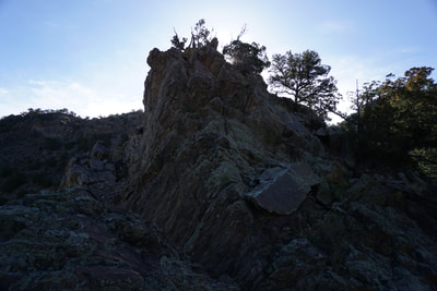
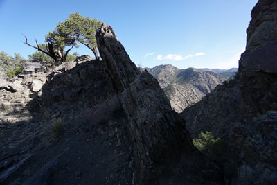
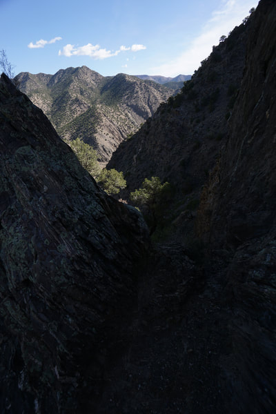
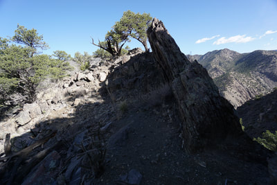
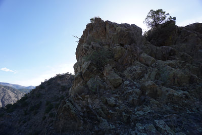
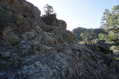
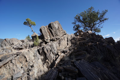
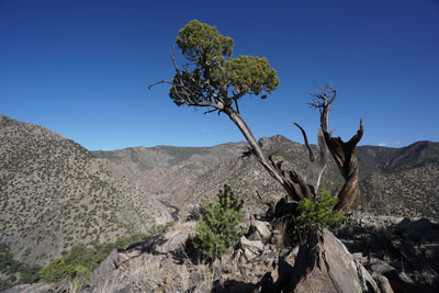
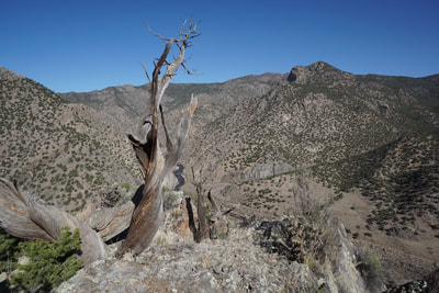
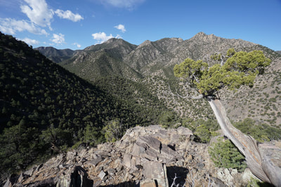
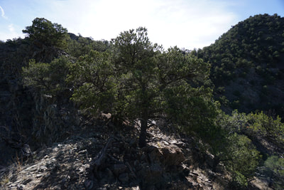
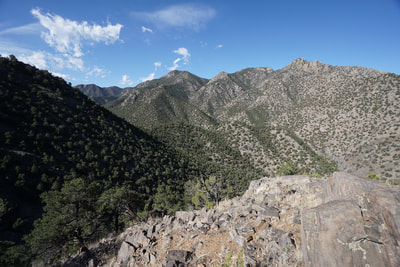
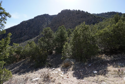
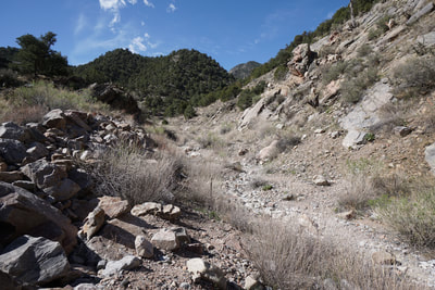
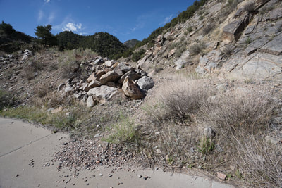
If you follow the faint trail near campsite #4, you'll start switchbacks up a steep slope. As you climb higher, still following a faint trail, the slope gets steeper, the trail becomes rockier, and you start questioning whether you are in the right place. Even if you are not in the "right place," you soon realize that this is exactly the right place to be. The views from this slope are amazing and rare for the Arkansas River hills. As you climb on loose rock and faint trail you soon realize that you are trying to summit a ridge. This goal and the ever improving views will distract you from the reality that at any time you can slip and fall into one of the thousand cactus that you've been trying to avoid as you climb. Once you reach the summit, you realize that this is merely one summit in a string of rocky summits. This would be a fine place to stop as the views are tremendous and getting here takes a fair bit of willpower and effort. However, you can also continue along. The next point on the ridge sits high above you and at first you'll wish you brought ropes and climbing gear. Sharp cliffs and rock faces seem to block your way. However, you can also down climb a bit to the right and gain the next summit with minimal class 3 climbing. The next summit is more exciting than the first. By the way, looking at this route on Google Earth makes it look much easier than it is in reality... On top of this summit, the view is even better, and you'll see another rocky summit ahead of you with another impossible seeming route to find. You can continue like this all the way to the large forested peak to the south if you wish. At this point, even though I was enjoying the class 3 climbing, I decided that I was satisfied and started back down. I was hiking alone and really wanted to get back to my kids by car, rather than by helicopter... Climbing down this route is more difficult that you might think. Try to follow the same route and stay to the right, do not dip down into the gully to the left, you'll just have to climb back out and bushwhack back to the faint trail heading up the ridge. However, you'll eventually find your back to the campsite. On the way out, and from the summit, I was able to spot the "official trail." Connecting the campground to the parking area is a paved walkway that goes under Hwy 50. Before you reach the campground you'll see a very faint trail that crosses over a dirt berm and leads to a dry wash. The official trail seems to follow the dry wash into the interior of the Wilderness Study Area. Next time, I'll be sure to explore this trail, but the birds eye view from the ridgeline summits is absolutely worthy of the effort it takes to get up there. |
- HOME
- ABOUT
-
HIKES BY REGION
-
NATIONAL PARK HIKES
- BENT'S OLD FORT NATIONAL HISTORIC SITE
- BLACK CANYON OF THE GUNNISON NATIONAL PARK
- COLORADO NATIONAL MONUMENT
- CURECANTI NATIONAL RECREATION AREA
- DINOSAUR NATIONAL MONUMENT
- FLORISSANT FOSSIL BEDS NATIONAL MONUMENT
- MESA VERDE NATIONAL PARK
- ROCKY MOUNTAIN NATIONAL PARK
- GREAT SAND DUNES NATIONAL PARK
- HOVENWEEP NATIONAL MONUMENT
- SAND CREEK MASSACRE NATIONAL HISTORIC SITE
- YUCCA HOUSE NATIONAL MONUMENT
- HIKES BY CATEGORY
- NEWS
- WEBCAMS
- $UPPORT GHC
- INTERACTIVE MAP
Sheep Basin Ridgeline
McIntyre Hills Wilderness Study Area
Date Hiked: April 29, 2018
Distance: 1 mi (RT)
Elevation Gain: 700 ft
Elevation Min/Max: 5,907 to 6,496 ft
Trailhead Lat/Long: 38º 27' 13" N; 105º 29' 37" W
Managing Agency: Bureau of Land Management (BLM)
Fee: Yes for Parking in Arkansas Headwaters Rec. Area

