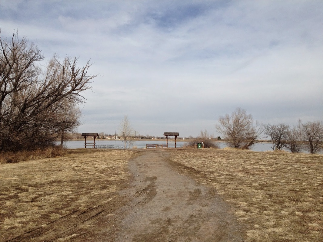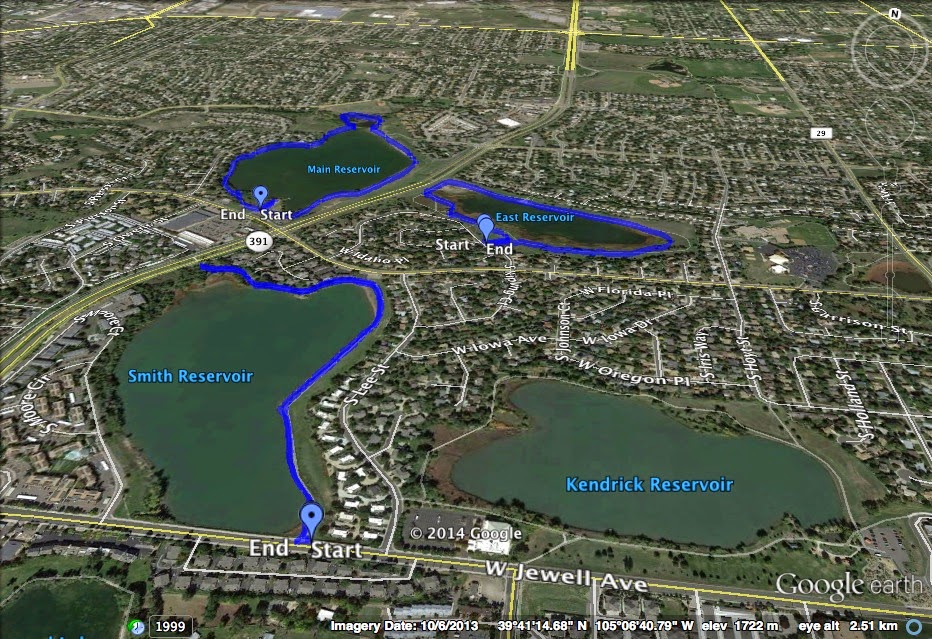
Directions: The 3 reservoirs are located along Kipling Street between Jewell and Mississippi. The trailhead for Main Reservoir is located at Kipling and Florida, the two trailheads for Smith Reservoir are located on Kipling (1 block south of Florida) and on Jewell (1 block east of Lee St), and the trailheads for East Reservoir are located on W. Arkansas Drive a loop street beginning and ending on Jewell.
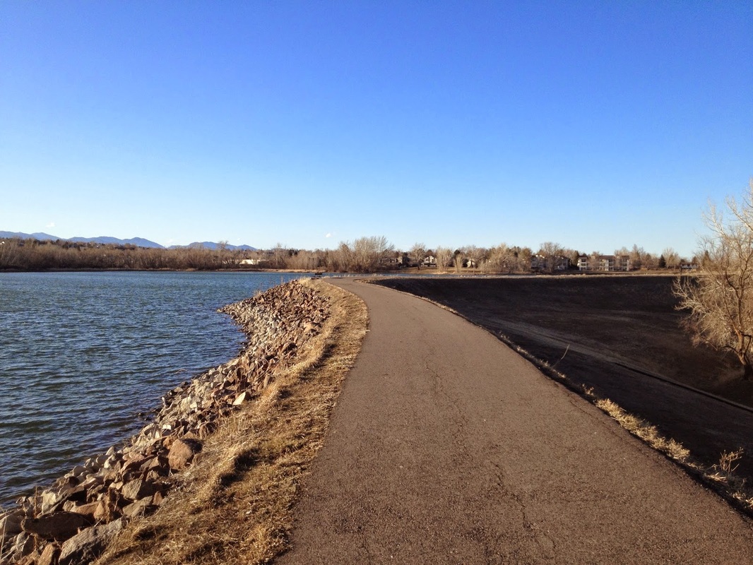
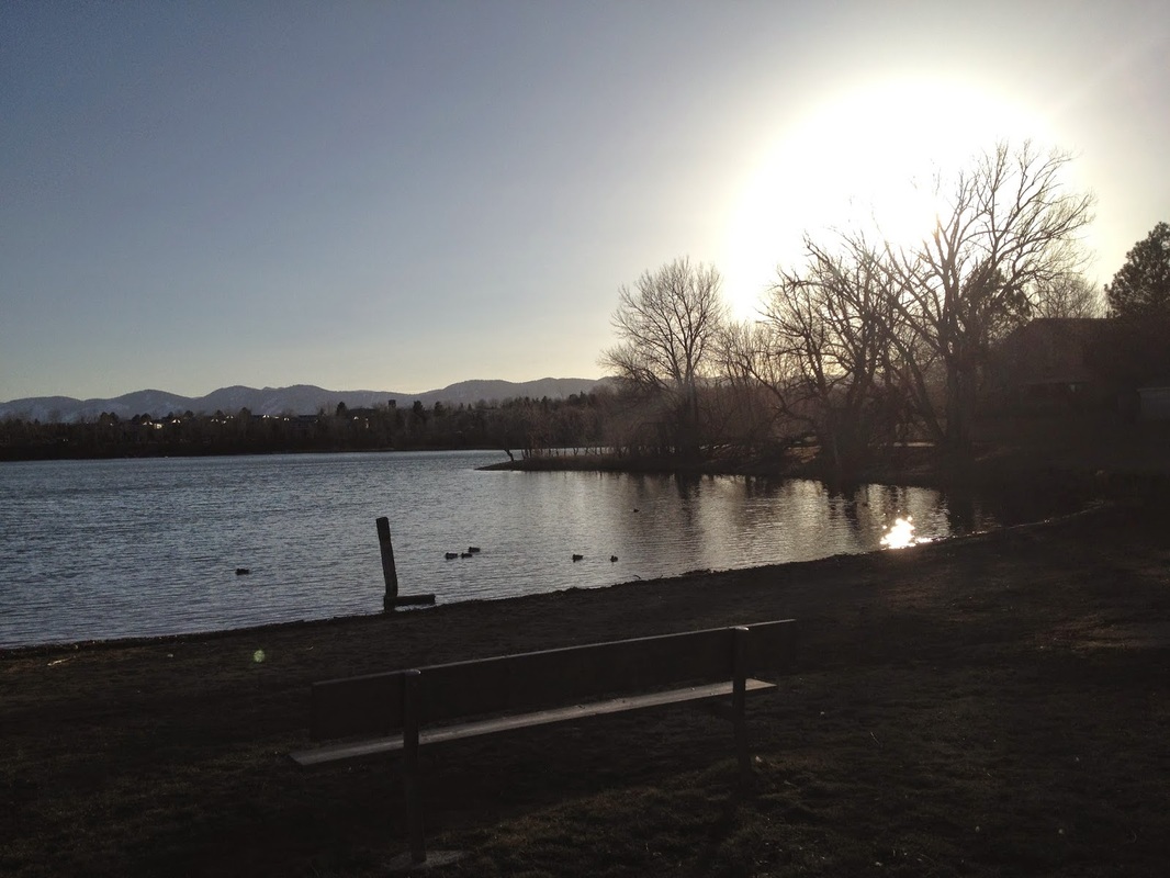
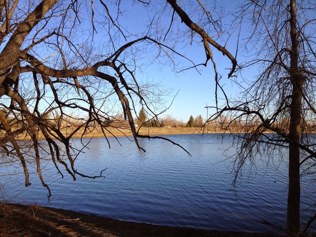
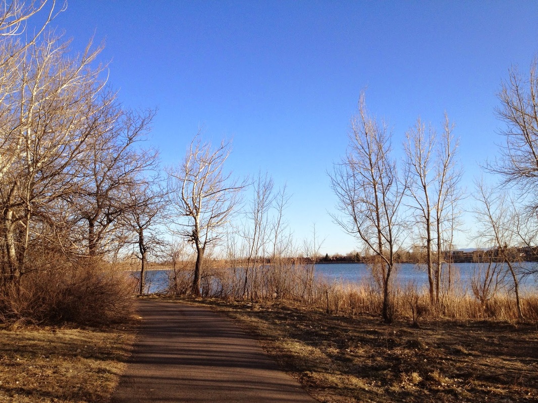
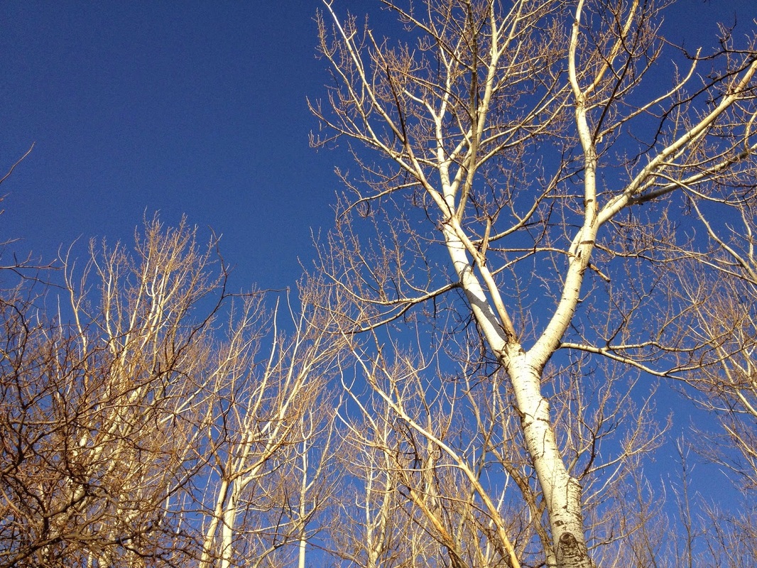
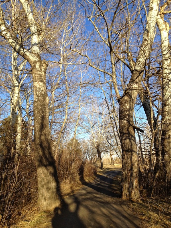
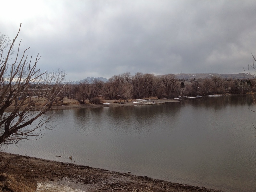
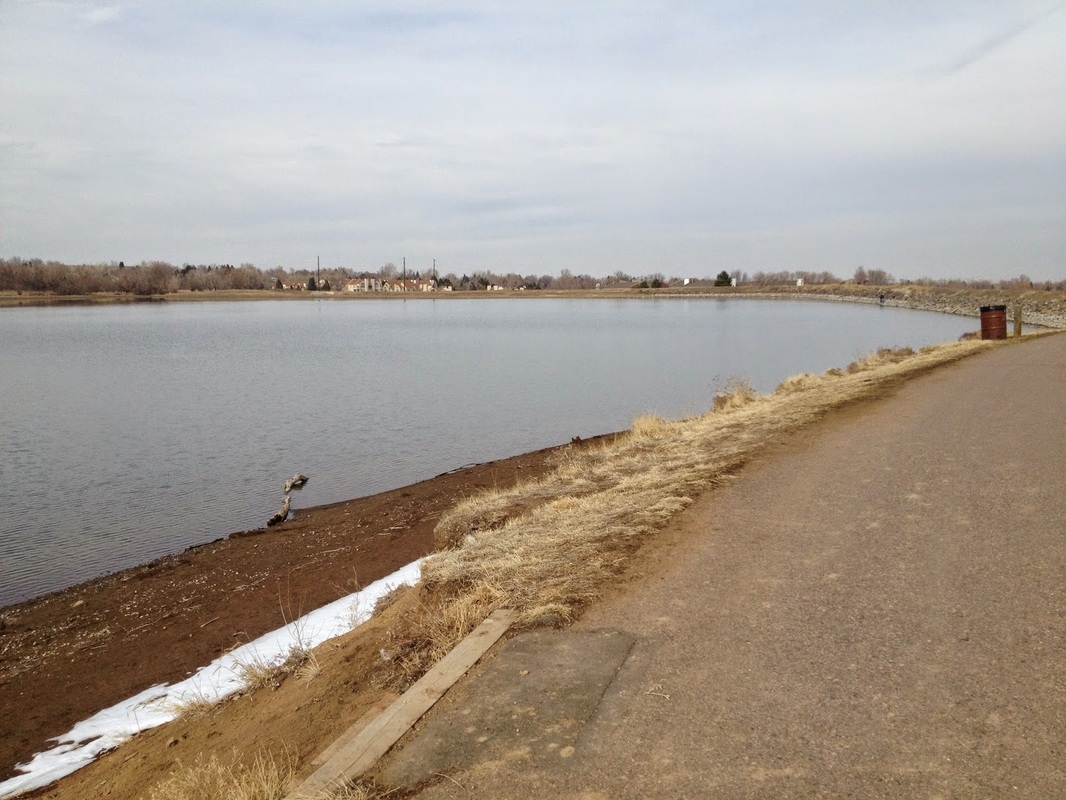
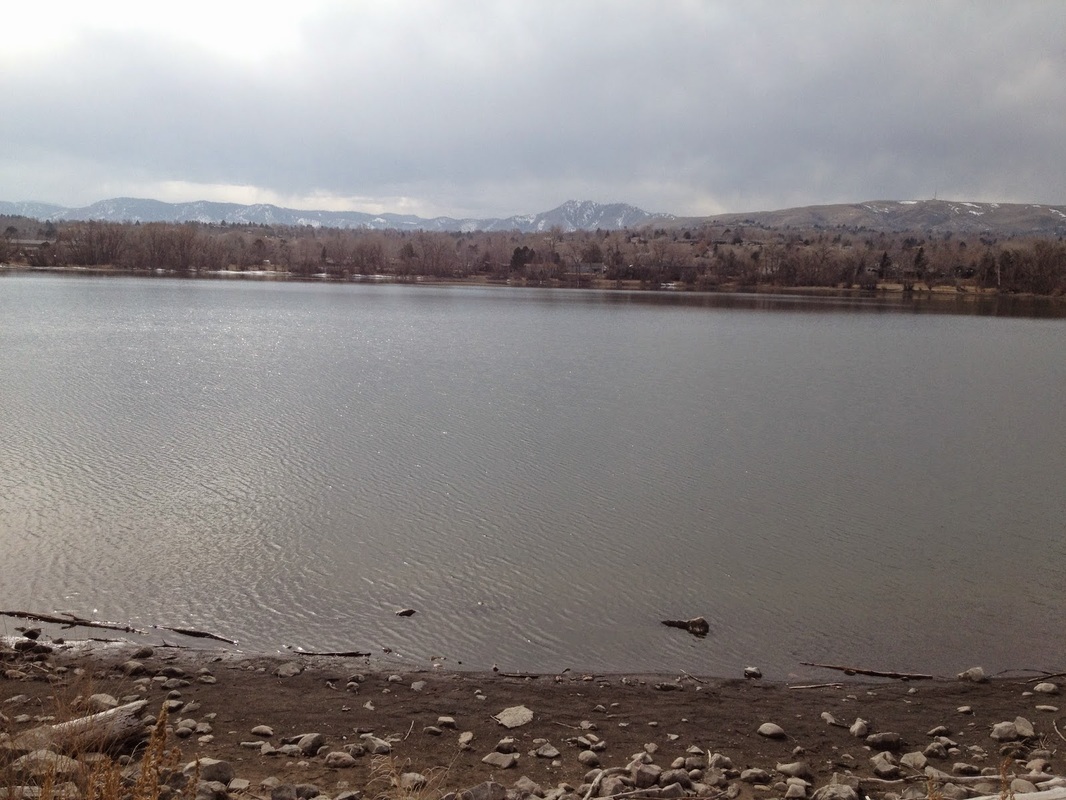
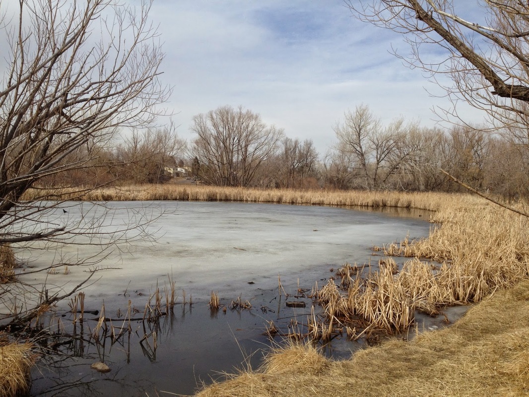
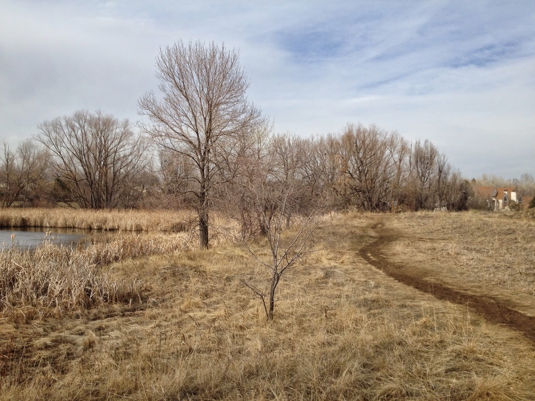
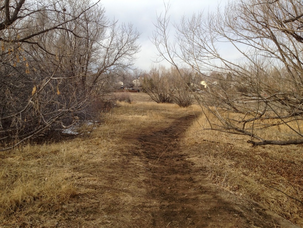
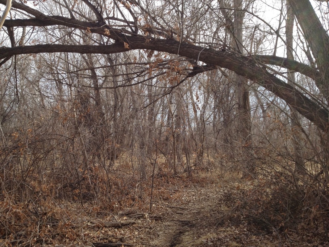
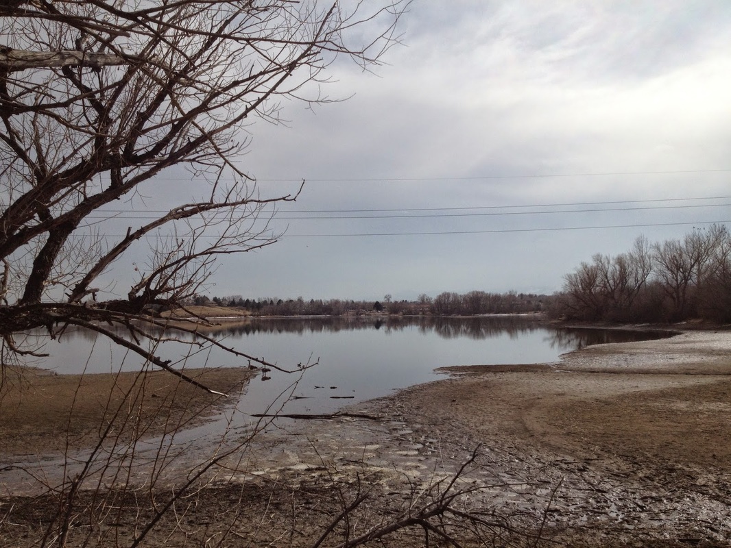
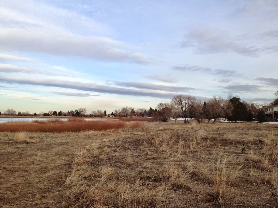
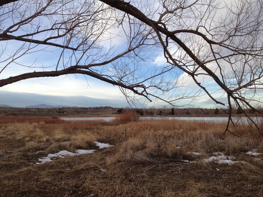
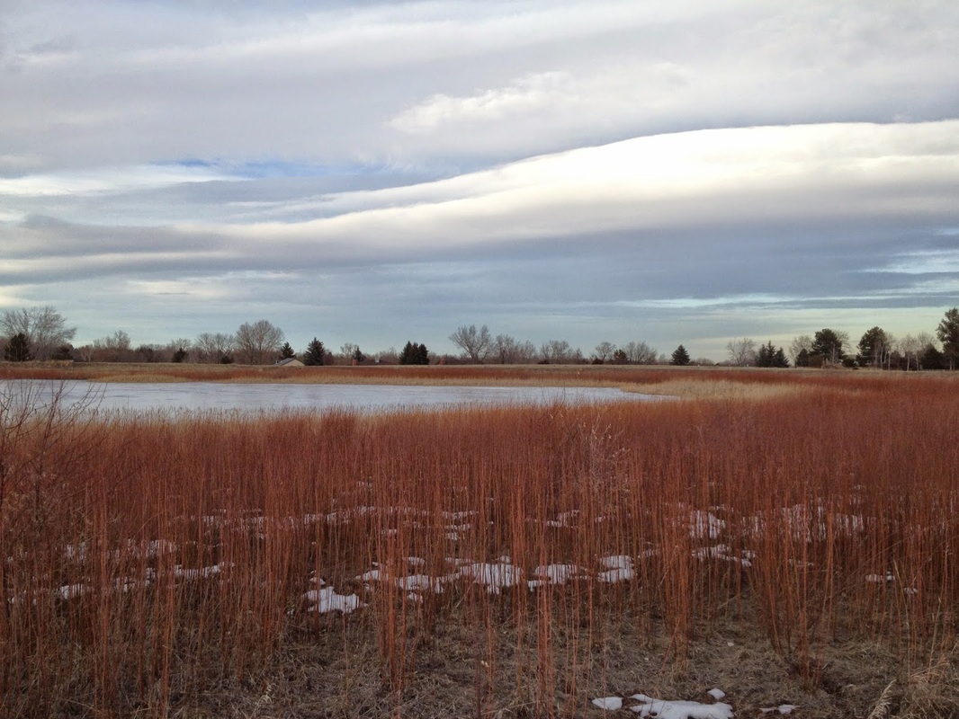
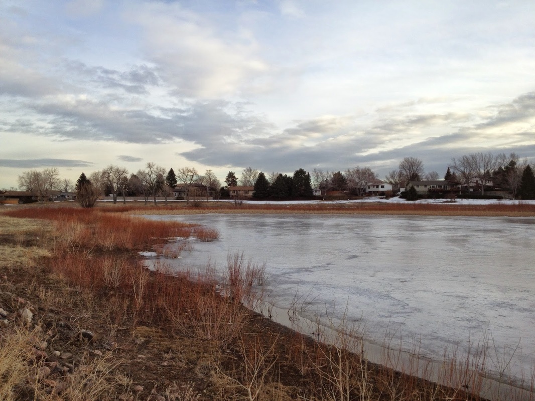
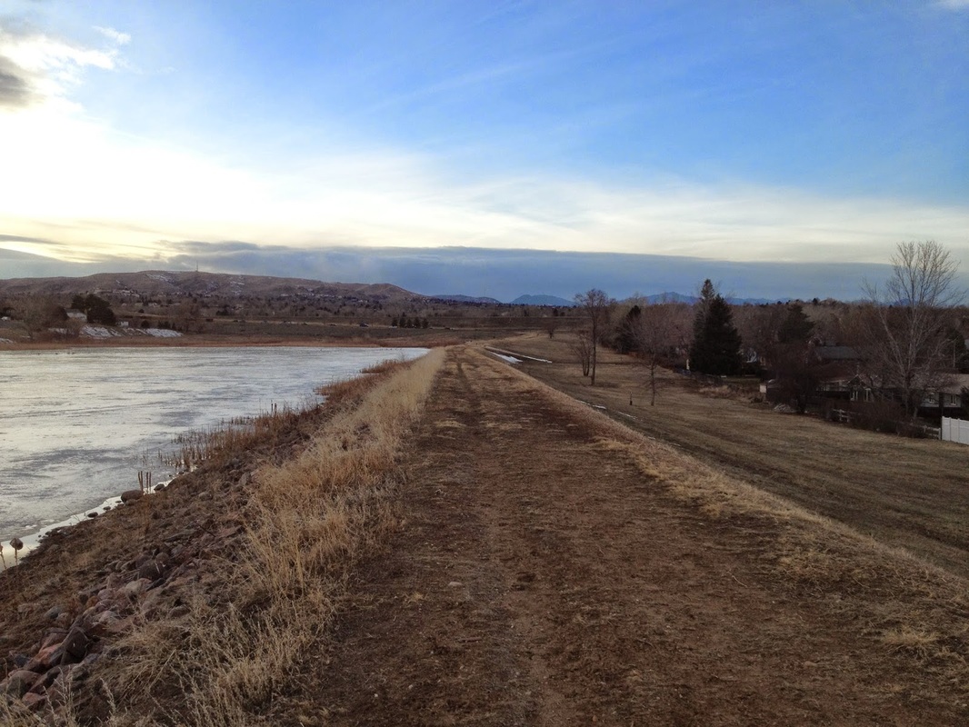
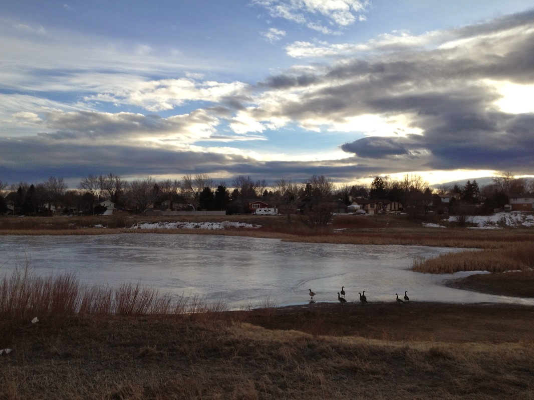
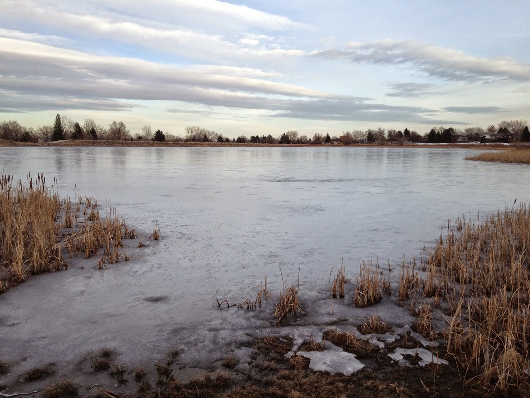
Lakewood has 3 reservoirs located right next to each other, 4 if you include Kendrick Lake. Each of these reservoirs provides for a nice easy walk with good views of the Front Range foothills. East Reservoir is the most wild with a dirt trail while Main Reservoir is the most scenic and has a nice wetland area with dirt social trails at the north end. Otherwise the walking here is along paved trails. You can however, join these reservoirs together for a 4 mile outing. I suggest starting at Smith Reservoir (whose trail only follows the each shore) at the Jewell Street Trailhead. Follow the East shore of Smith Reservoir for .75 mi to the Kipling Trailhead, from here cross Kipling and walk about 2 blocks to the Main Reservoir Trailhead. Follow Main reservoir in a counter clockwise direction and when you get about halfway across the eastern shore cross Kipling (careful for traffic) and enter the East Reservoir trail. Follow the East Reservoir Trail around and return to the same spot. From here you can either cross Kipling again to finish Main Reservoir, or walk back along Kipling to the Smith Reservoir Trail. Follow Smith Reservoir's east shore back to the Jewell Trailhead. |
Smith ReservoirMain ReservoirEast Reservoir |
- HOME
- ABOUT
-
HIKES BY REGION
-
NATIONAL PARK HIKES
- BENT'S OLD FORT NATIONAL HISTORIC SITE
- BLACK CANYON OF THE GUNNISON NATIONAL PARK
- COLORADO NATIONAL MONUMENT
- CURECANTI NATIONAL RECREATION AREA
- DINOSAUR NATIONAL MONUMENT
- FLORISSANT FOSSIL BEDS NATIONAL MONUMENT
- MESA VERDE NATIONAL PARK
- ROCKY MOUNTAIN NATIONAL PARK
- GREAT SAND DUNES NATIONAL PARK
- HOVENWEEP NATIONAL MONUMENT
- SAND CREEK MASSACRE NATIONAL HISTORIC SITE
- YUCCA HOUSE NATIONAL MONUMENT
- HIKES BY CATEGORY
- NEWS
- WEBCAMS
- $UPPORT GHC
- INTERACTIVE MAP
Main, East & Smith Reservoirs
Date Hiked: March 4, 2013
Distance: 4 mi (RT) Total
Main - 1.5 mi (RT)
Elevations:
Main - 5,571ft
Managing Agency: City of Lakewood
Fee: None