|
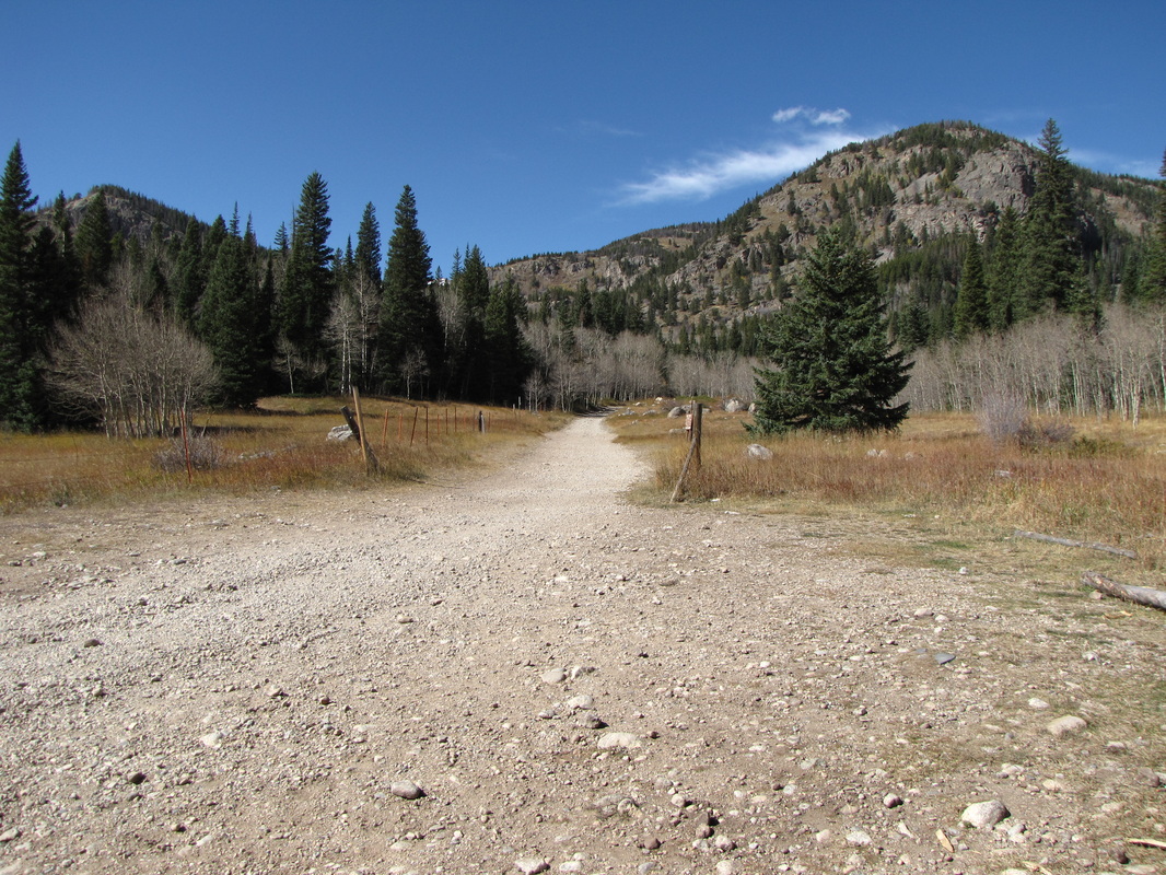
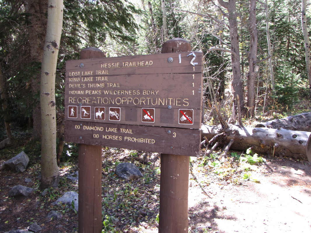
Directions: The hike starts at the Hesse Trailhead just pass the town of Eldora. From Nederland, head S on 119 for 1/2 mile. Turn west when you see the sign for Eldora. Follow the road until the pavement ends. The trailhead is 1 mile along the dirt road. Once you see a bunch of cars parked on the shoulder and a small dirt road to the left, you've found the trailhead. Park here and walk along the side road until you reach the trailhead.
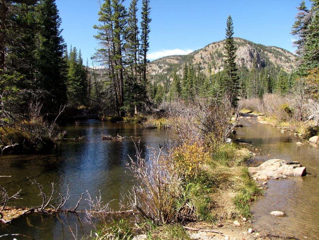
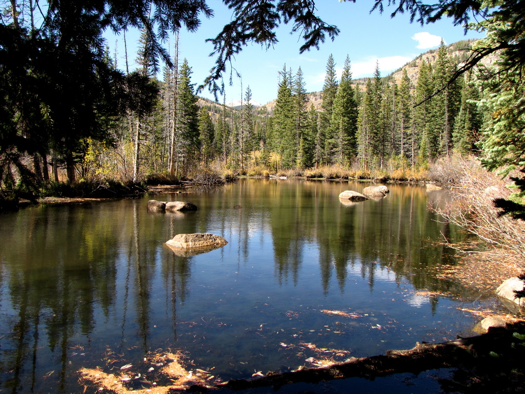
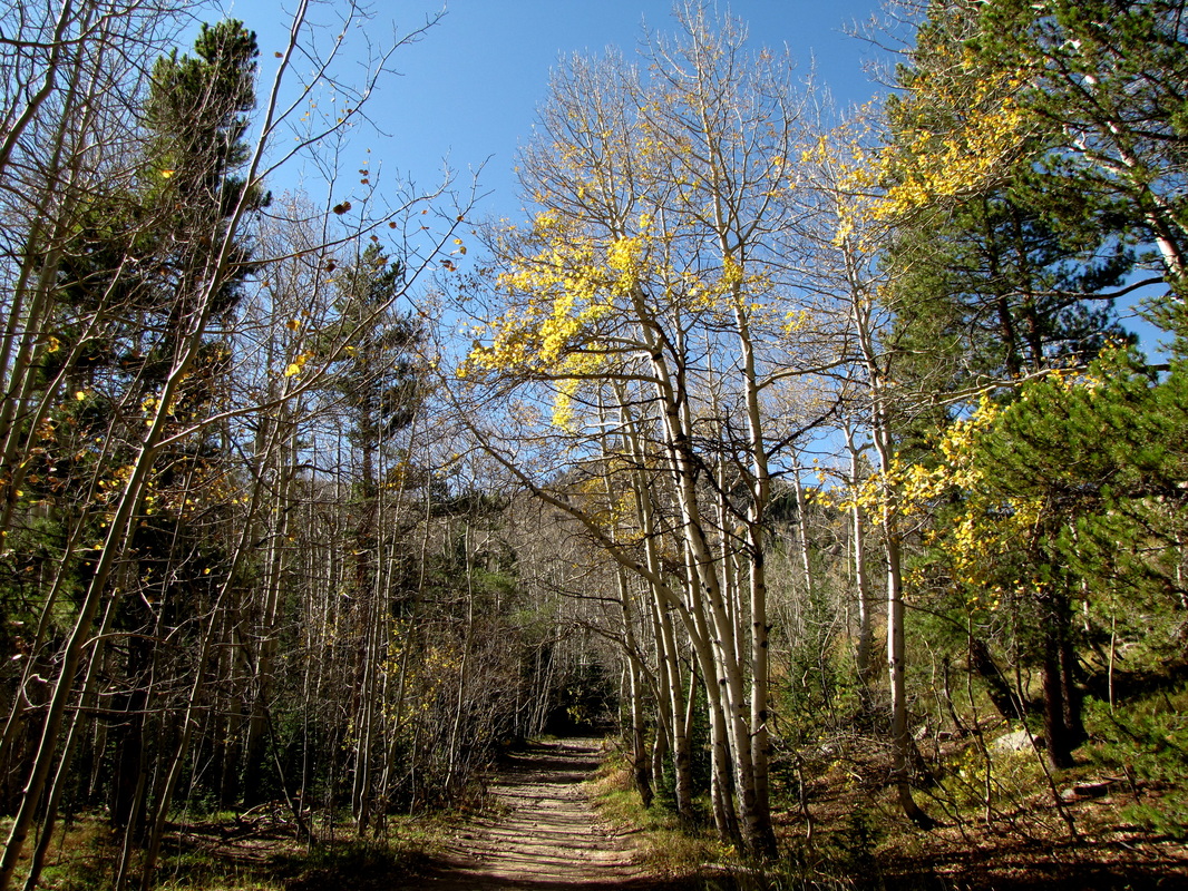
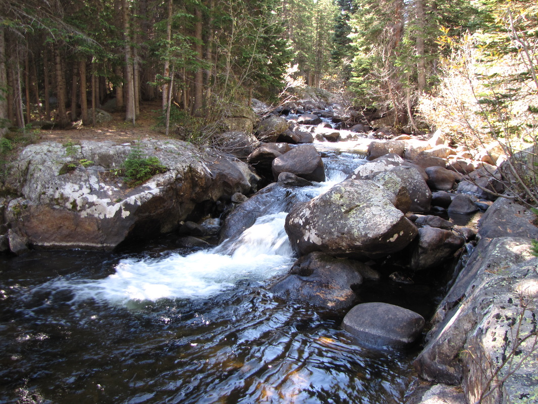
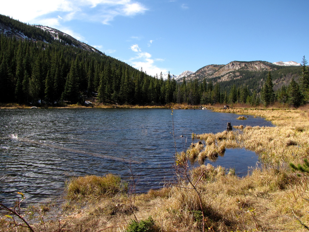
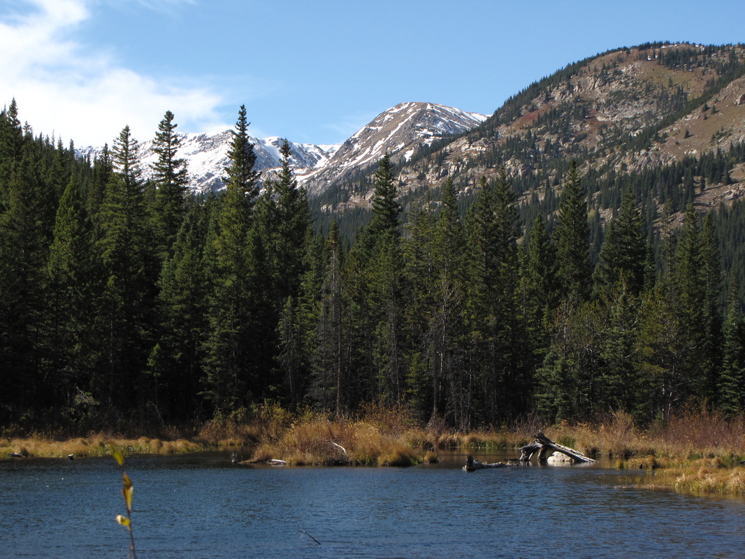
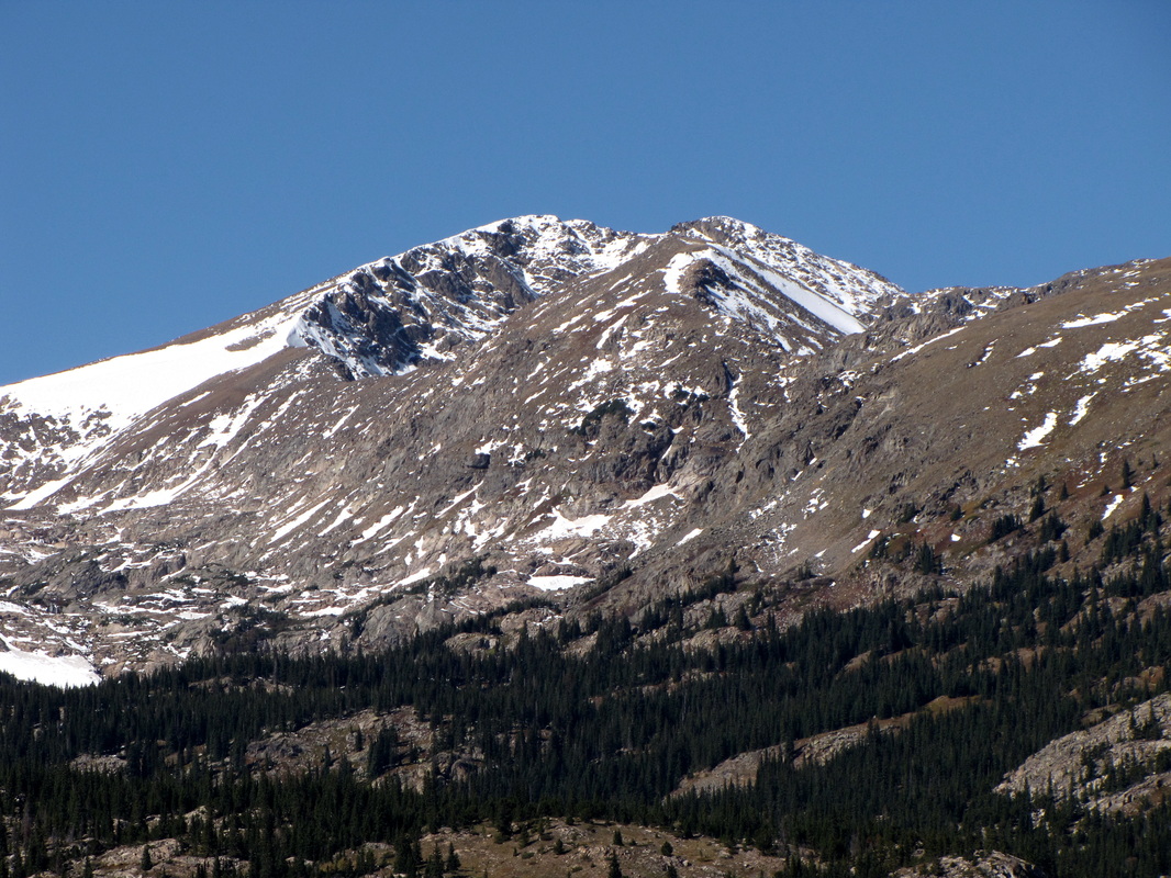
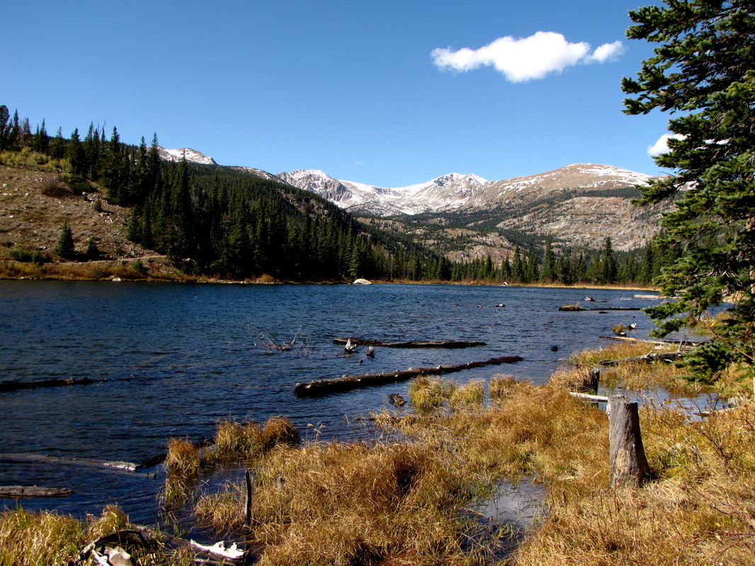
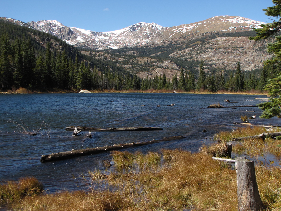
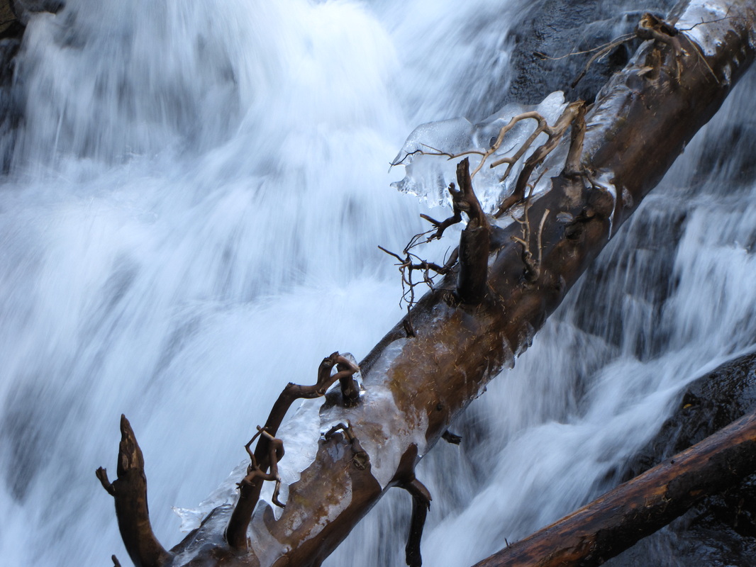
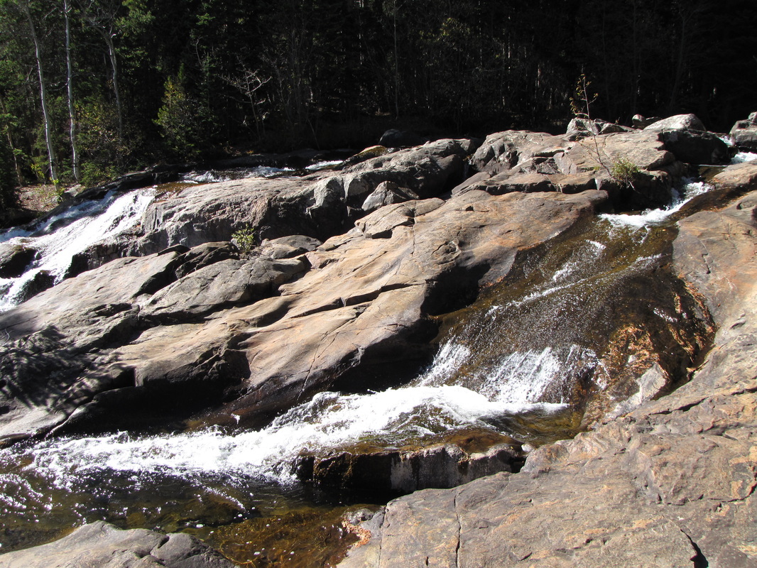
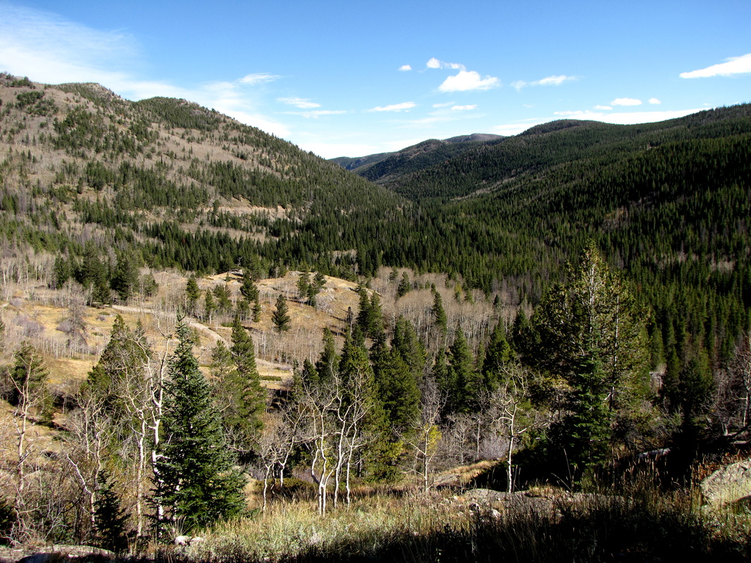
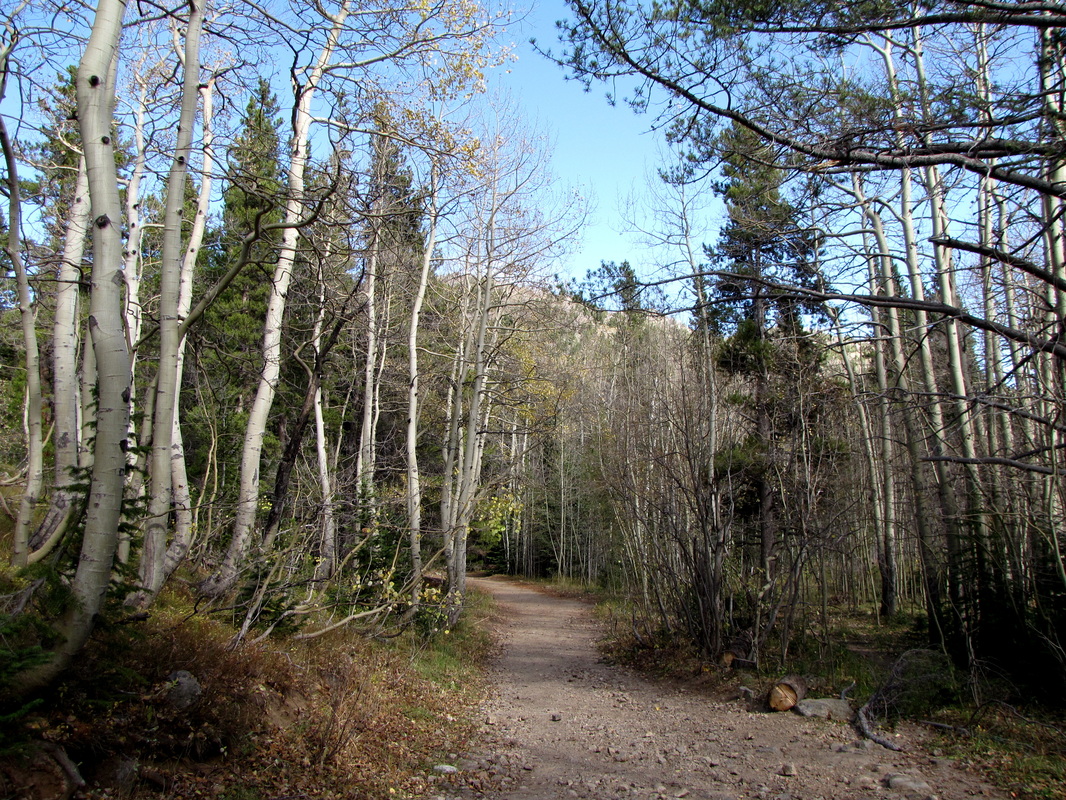
This hike is relatively straightforward. From the parking area follow the dirt road, which is typically washed out, to the Hessie Townsite. Just past the townsite you'll find the actual Hessie Trailhead. From here take the Devil's Thumb trail for about 1 mile. This trail is beautiful as it switchbacks up the mountain and passes some stunning cascades. Turn left onto the Lost Lake trail for .5 to Lost Lake. At the lake, you can follow a trail around the lake for another .5 mi or so. The lake is beautiful with nice views of the Indian Peaks rising above the lake. Overall the trail to Lost Lake is a very pleasant relaxing hike. It mostly stays in the forest, but there are some wonderful cascades and waterfalls along the way. There are also many Aspen groves along the trail making this a prime spot for fall colors. Lost Lake itself is a worthy destination, the lake is just outside the Indian Peaks Wilderness Boundary but you get a good taste of the Indian Peaks by the view at the lake. |
|
- HOME
- ABOUT
-
HIKES BY REGION
-
NATIONAL PARK HIKES
- BENT'S OLD FORT NATIONAL HISTORIC SITE
- BLACK CANYON OF THE GUNNISON NATIONAL PARK
- COLORADO NATIONAL MONUMENT
- CURECANTI NATIONAL RECREATION AREA
- DINOSAUR NATIONAL MONUMENT
- FLORISSANT FOSSIL BEDS NATIONAL MONUMENT
- MESA VERDE NATIONAL PARK
- ROCKY MOUNTAIN NATIONAL PARK
- GREAT SAND DUNES NATIONAL PARK
- HOVENWEEP NATIONAL MONUMENT
- SAND CREEK MASSACRE NATIONAL HISTORIC SITE
- YUCCA HOUSE NATIONAL MONUMENT
- HIKES BY CATEGORY
- NEWS
- WEBCAMS
- $UPPORT GHC
- INTERACTIVE MAP
Lost Lake
Roosevelt National Forest
Date Hiked: October 15, 2011
Distance: 4 mi (RT)
Elevation Gain: 800 ft
Elevation Min/Max: 9,000 to 9,800ft
Managing Agency: U.S. Forest Service
Fee: None