|
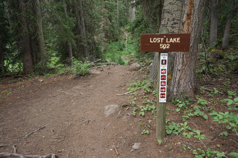
DIRECTIONS: From Mesa, CO head south on Highway 65 to the Mesa Lakes Resort. Take the access road into the Mesa Lakes Resort to the Glacier Springs Campground which is located on the west end of Mesa Lake. Take the Mesa Lakes Shore Trail #503, which begins from the parking area for the Glacier Springs Campground, for 0.18 miles along the south end of Mesa Lake to the intersection with the Lost Lake Trailhead.
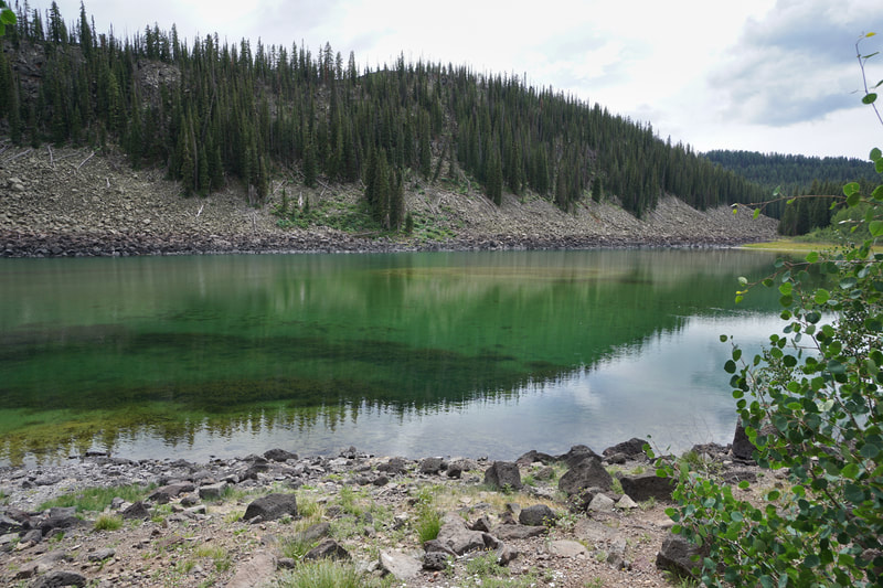
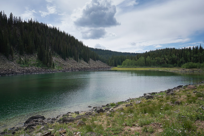
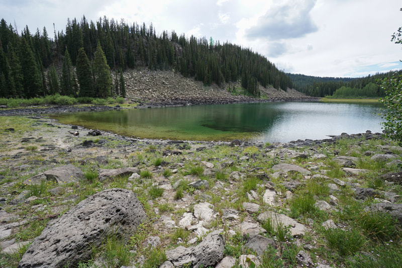
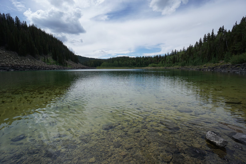
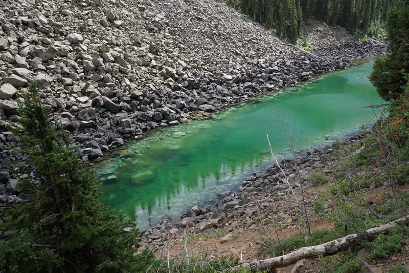
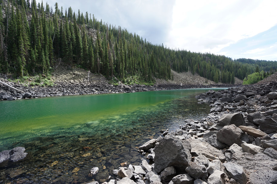
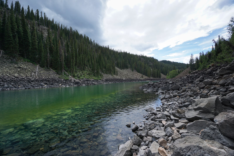
Lost Lake is an amazing sight. When the light hits the water in the right way you'll think you just teleported to Fiji. The hike starts at Mesa Lakes which is one of the more popular areas on the Mesa, but the hike soon leaves the crowds behind as you climb through the dense forest towards Lost Lake.
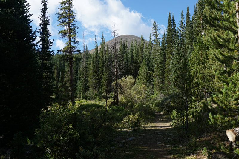
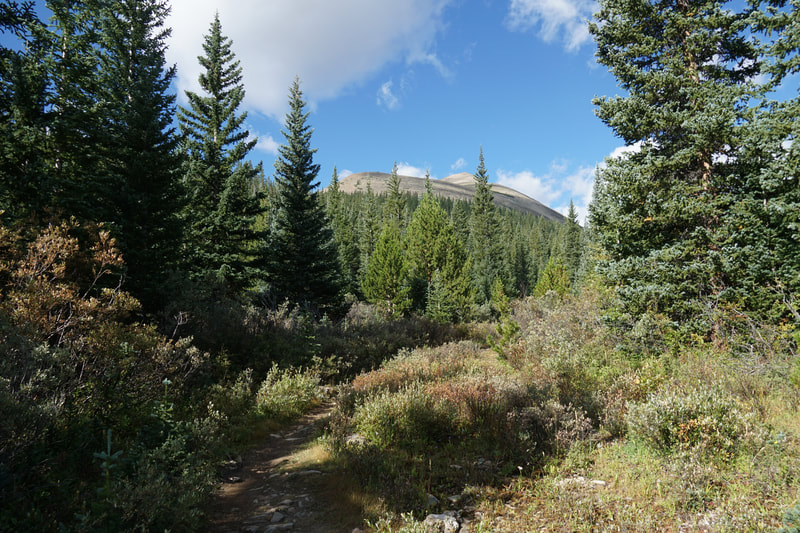
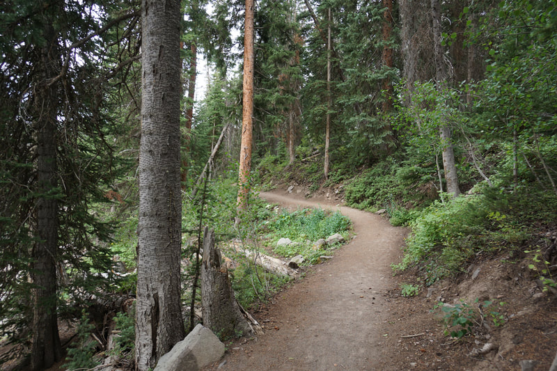
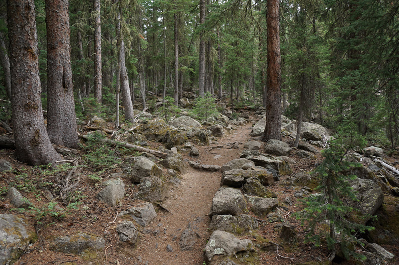
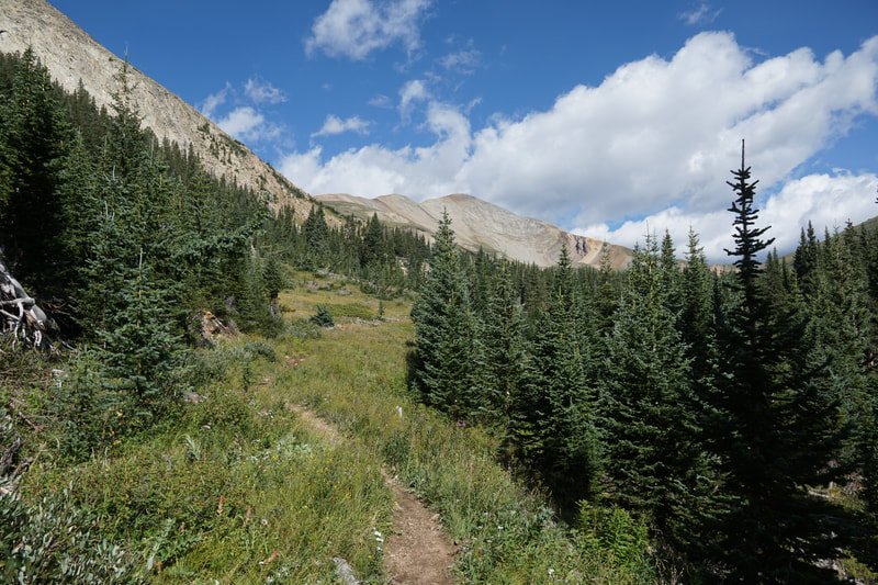
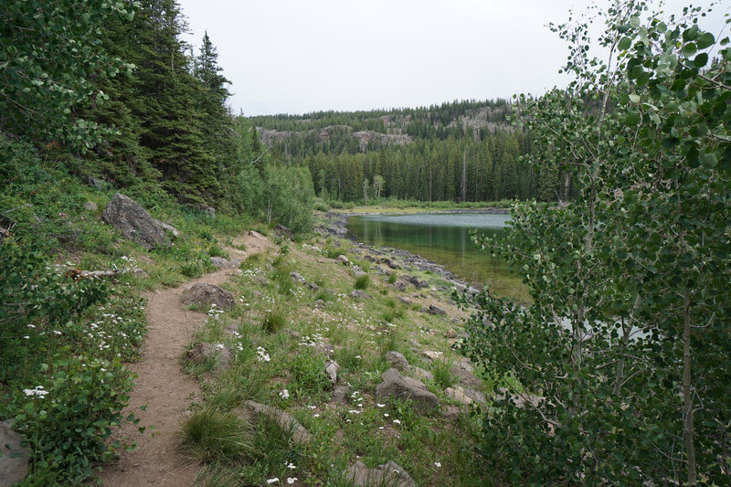
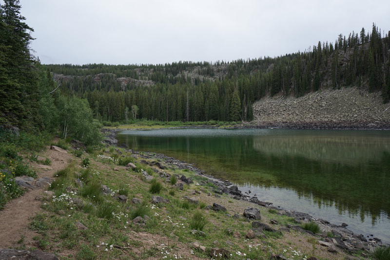
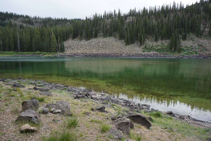
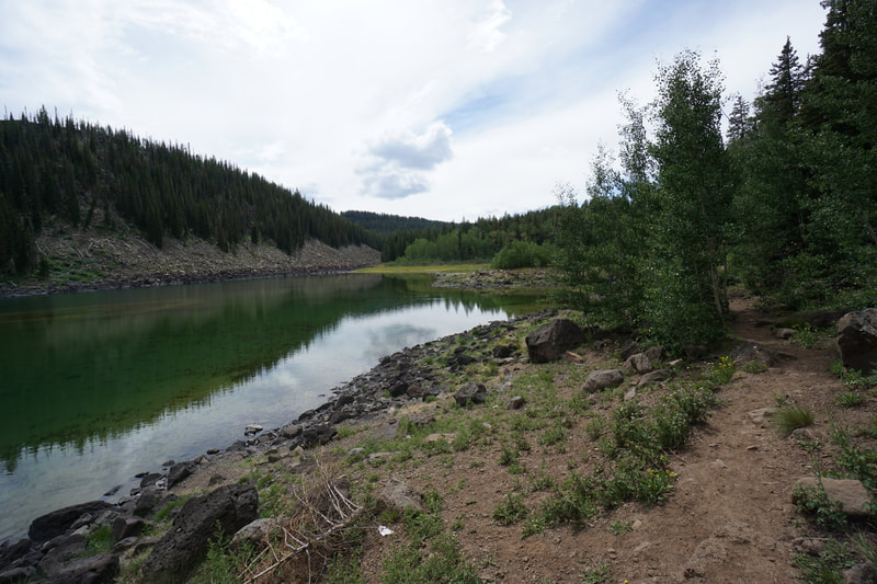
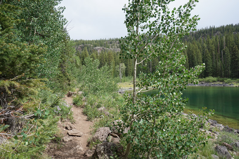
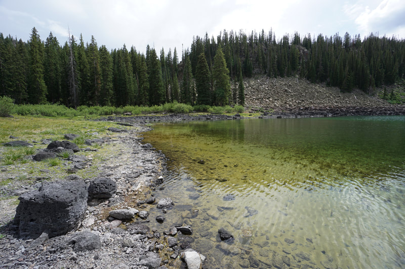
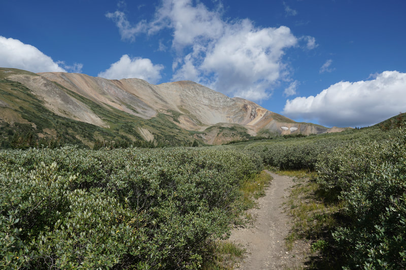
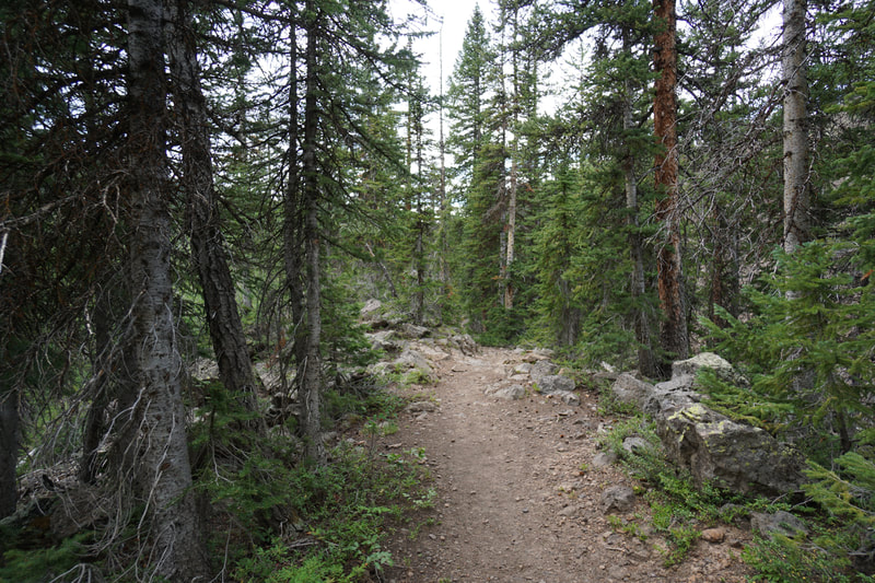
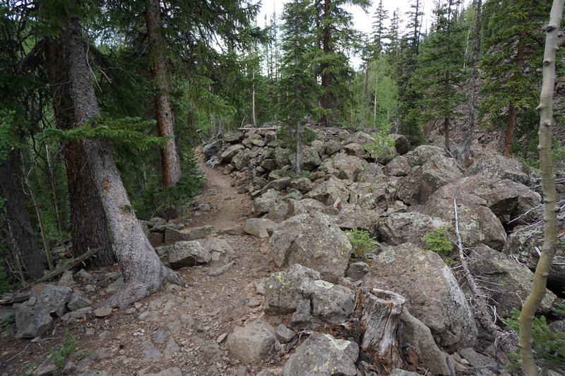
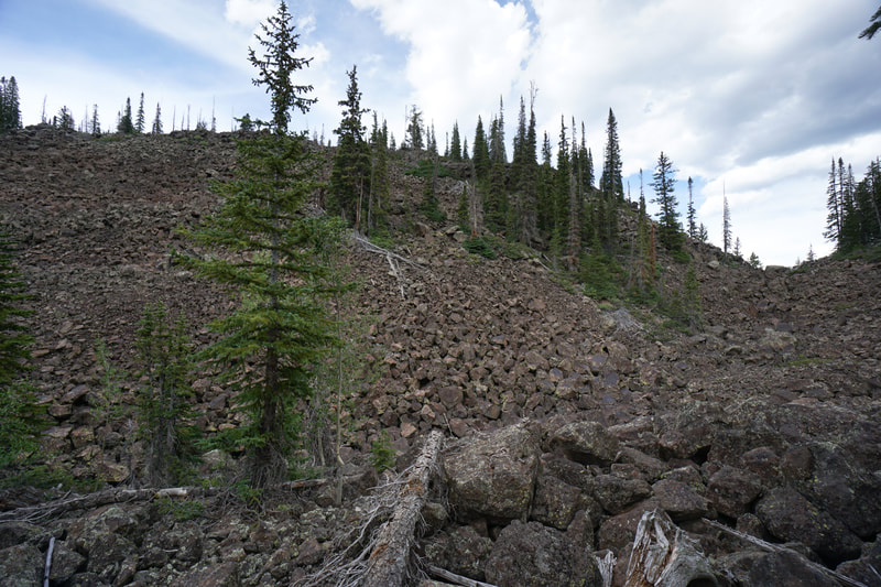
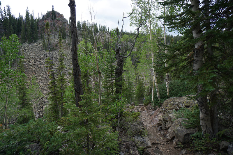
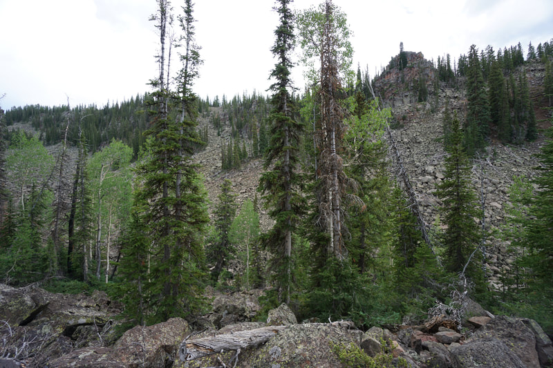
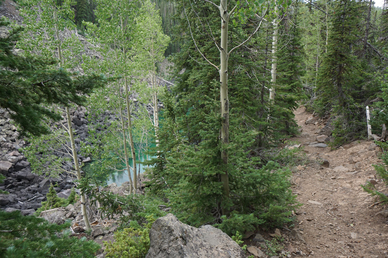
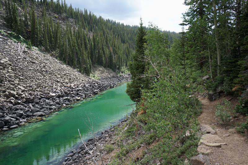
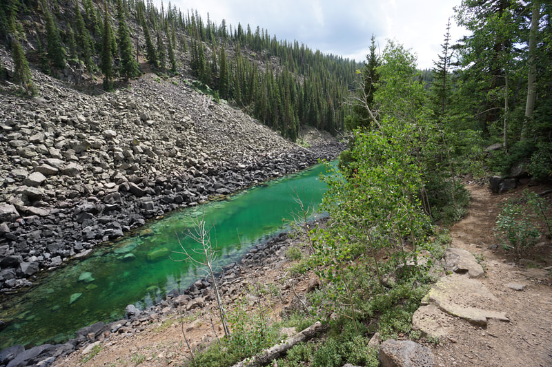
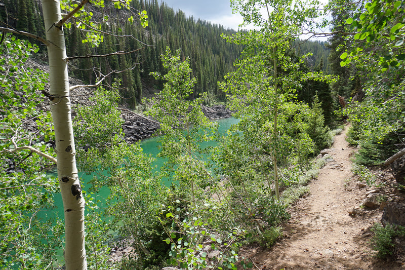
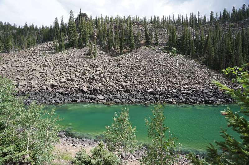
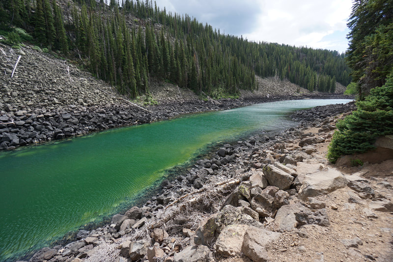
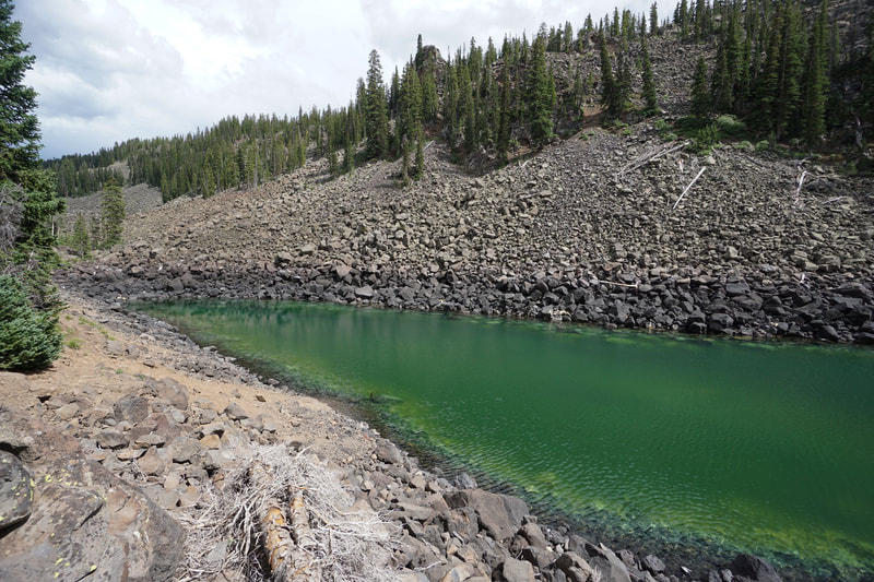
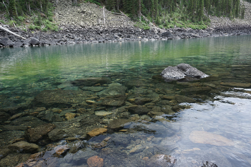
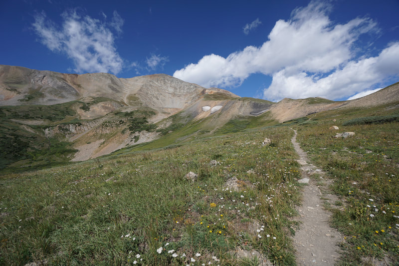
The hike starts by following the westernmost shore of Mesa Lake. From the lakeshore the trail turns to the west (right) and climbs through dense but beautiful pine forest and soon reaches the eastern shores of South Mesa Lake. South Mesa Lake is incredible. The water is a unique blueish green color and the lake is surrounded by stark volcanic rock. South Mesa Lake is a nice hiking destination in itself but don't stop here...Lost Lake is just a short hike further. The trail climbs up through the Forest again past South Mesa Lake. This is the steepest climb for this trail but still not a difficult grade. As you climb you'll see broader views down to South Mesa Lake. Before long you'll hike over a forested path and start heading down to Lost Lake. This part of the trail is amazing. You pass through a rough and tumble rock fall area which creates an otherworldly landscape. As you descend the rocky area Lost Lake will come into view. If you hike here in the late afternoon, then the sun will glisten off the bright green water, it's an incredible sight to see. The trail leads to the northern shore of the lake and the trail ends at a rocky and sandy beach composed of volcanic boulders. This has to be one of the most scenic lakes on the Grand Mesa. The hike back follows the same path but you have the option to explore the remainder of Mesa Lake on your way back. This adds about 1/2 mile to your hike. This is a beautiful area and Lost Lake provides a wonderful short but sweet hike perfect for kids and adults as well. |
- HOME
- ABOUT
-
HIKES BY REGION
-
NATIONAL PARK HIKES
- BENT'S OLD FORT NATIONAL HISTORIC SITE
- BLACK CANYON OF THE GUNNISON NATIONAL PARK
- COLORADO NATIONAL MONUMENT
- CURECANTI NATIONAL RECREATION AREA
- DINOSAUR NATIONAL MONUMENT
- FLORISSANT FOSSIL BEDS NATIONAL MONUMENT
- MESA VERDE NATIONAL PARK
- ROCKY MOUNTAIN NATIONAL PARK
- GREAT SAND DUNES NATIONAL PARK
- HOVENWEEP NATIONAL MONUMENT
- SAND CREEK MASSACRE NATIONAL HISTORIC SITE
- YUCCA HOUSE NATIONAL MONUMENT
- HIKES BY CATEGORY
- NEWS
- WEBCAMS
- $UPPORT GHC
- INTERACTIVE MAP
Lost Lake
Grand Mesa National Forest
Date Hiked: July 17, 2020
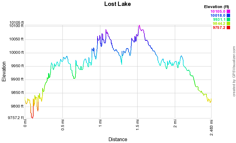
Distance: 2.5 mi (RT)
Elevation Gain: 780 ft
Elevation Min/Max: 9,757.2 ft, 10,085.3 ft
Trailhead Lat/Long: 39.04647, -108.09082
Fee: None

