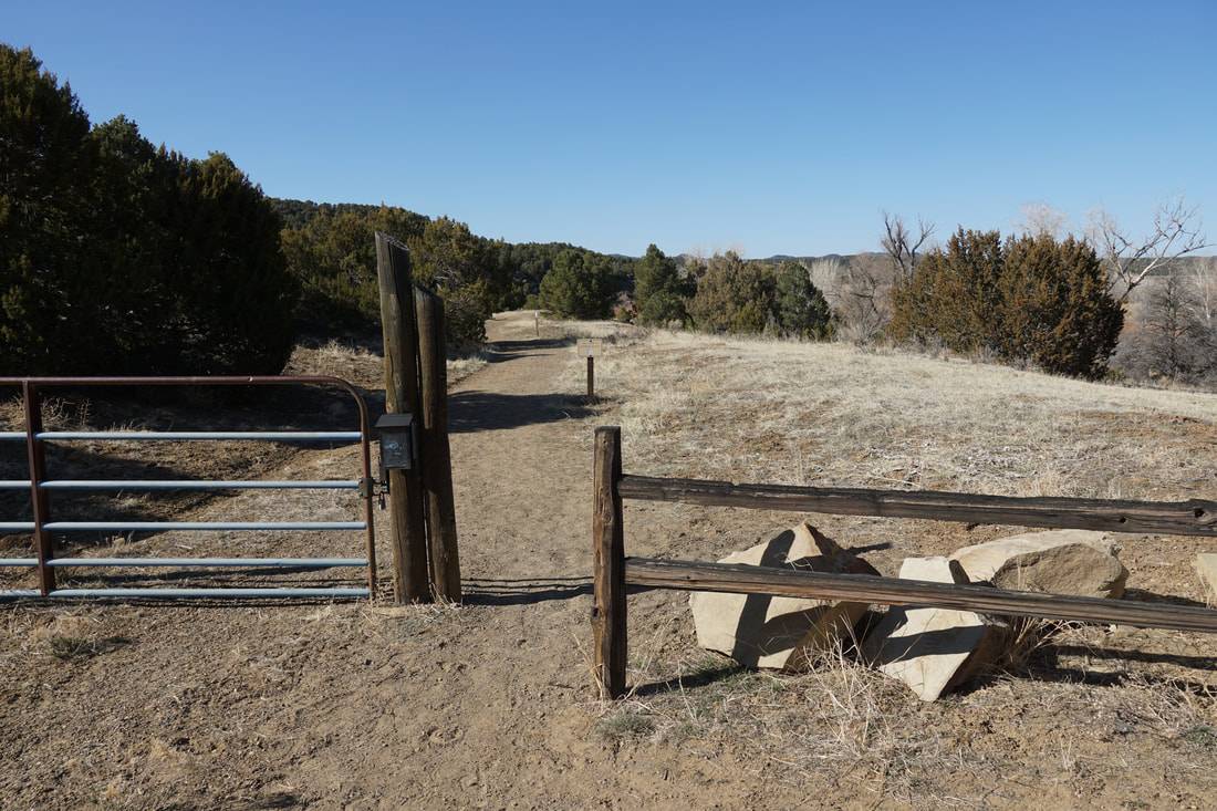
DIRECTIONS: From Trinidad, take Hwy 12 (Highway of Legends) west past the main entrance to the State Park and past the town of Cokedale. Turn left (south) onto County Road 18.3 and cross the Purgatoire River. Follow this good dirt road for 3 miles and turn left to stay on Co Rd 18.3. The trailhead is just another half a mile up the road.
|
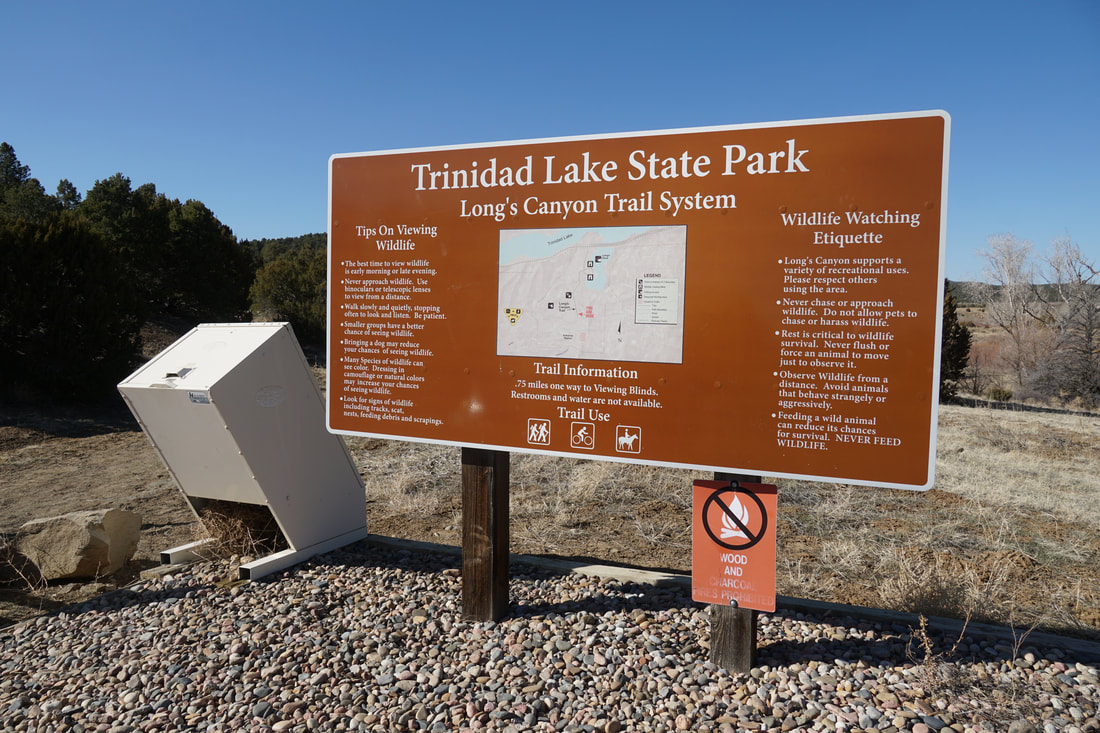
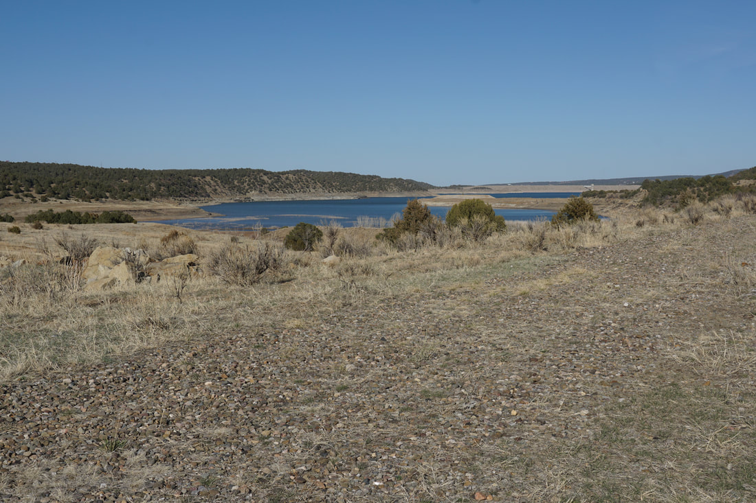
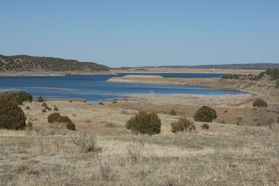
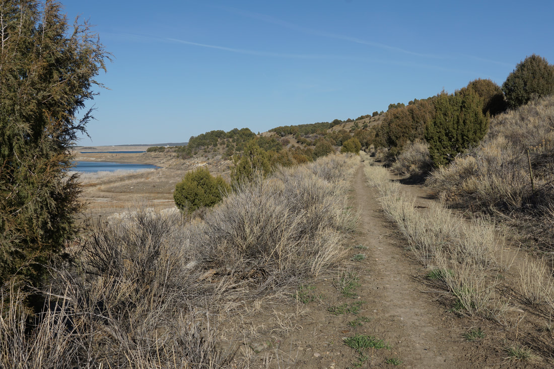
Trinidad Lake State Park is situated at the base of the Sangre De Cristo Foothills and the Raton Mesa to the east. Just north of the New Mexico Border, this large reservoir is the main attraction for recreation in the Trinidad/Raton area. The park has a nice trail system and the Longs Canyon Trail is one of the quieter trails in the park. The trail is tucked away on the southwestern end of the park and follows Long Creek to Trinidad Lake.
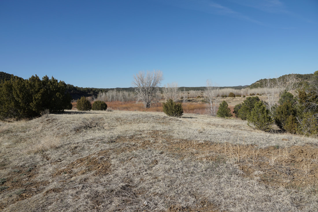
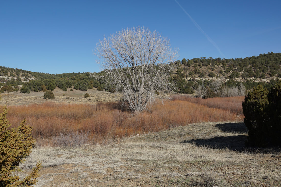
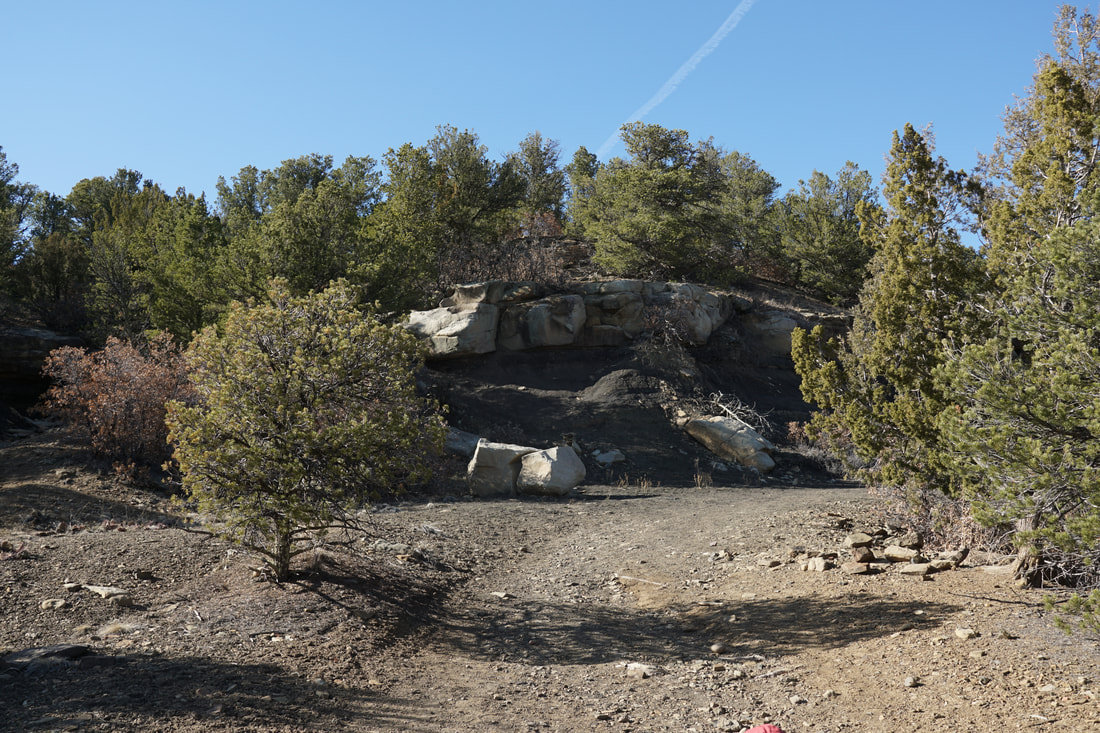
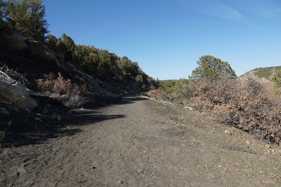
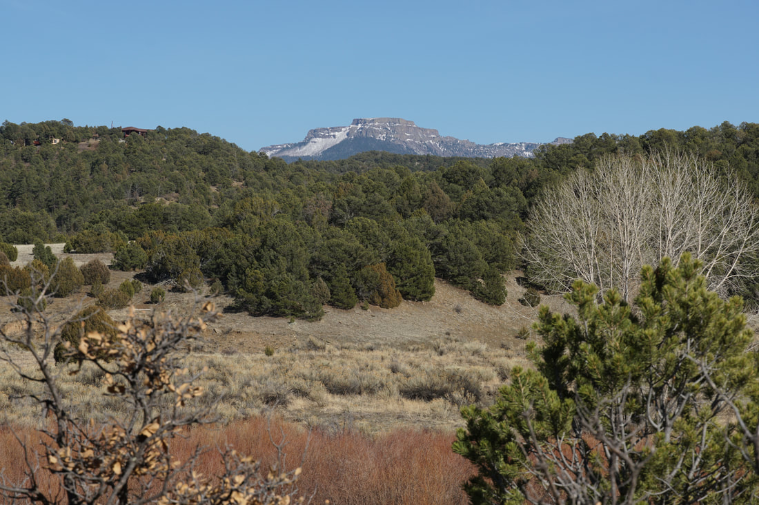
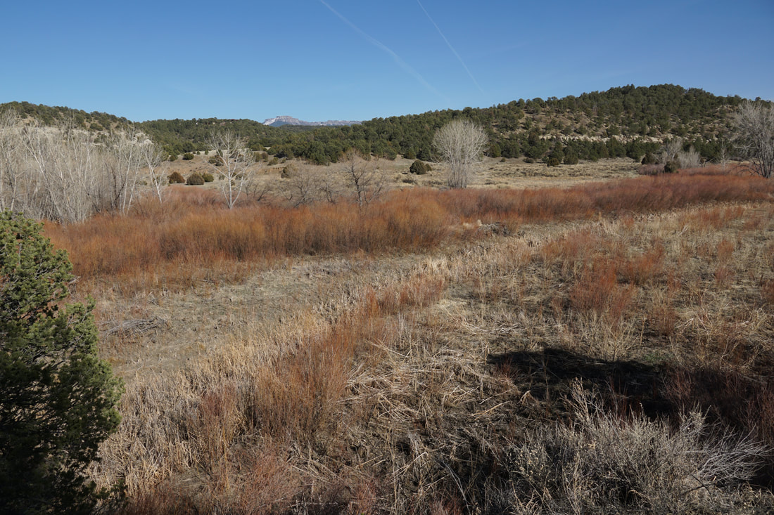
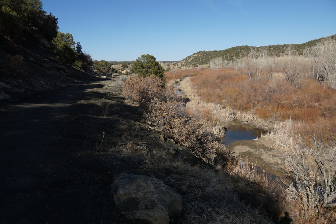
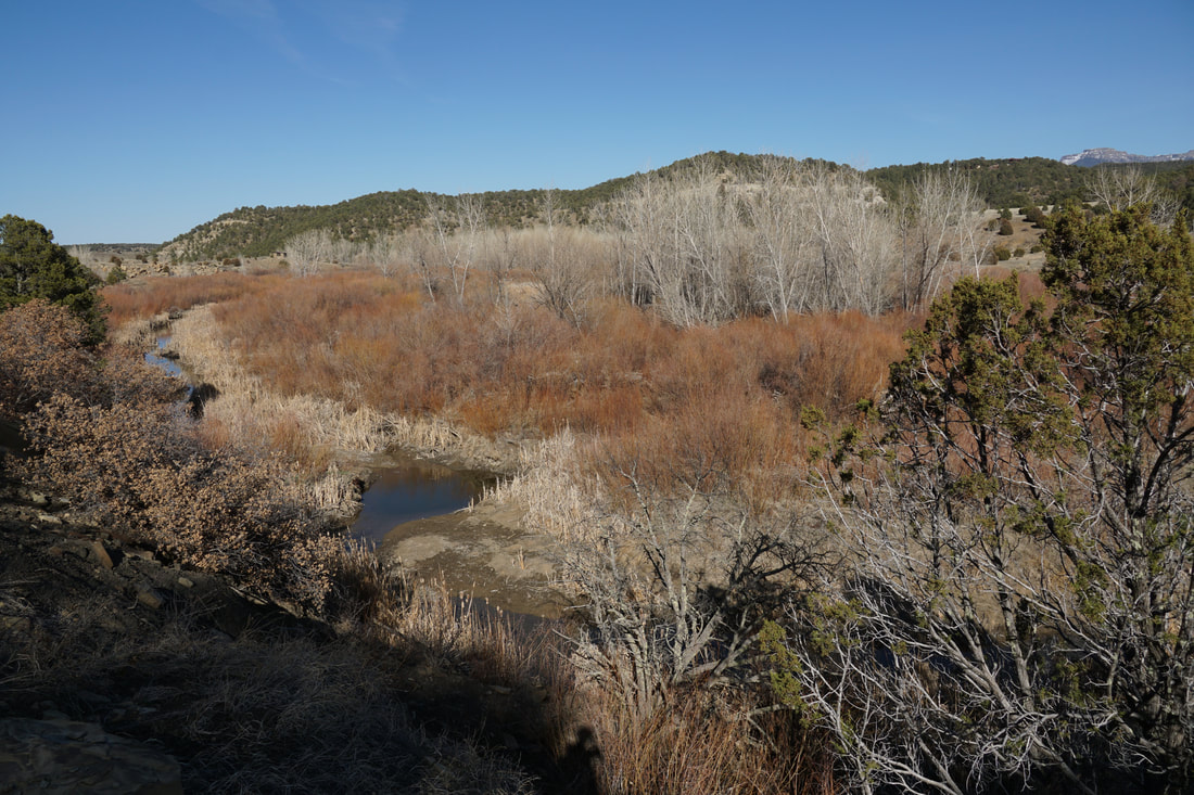
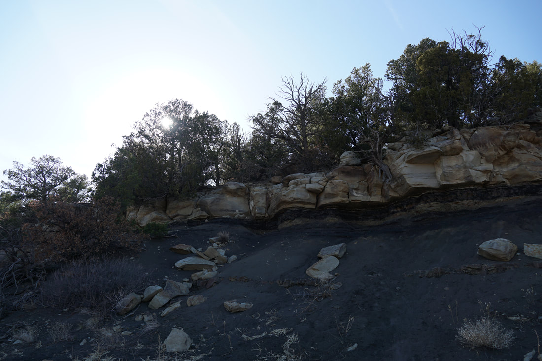
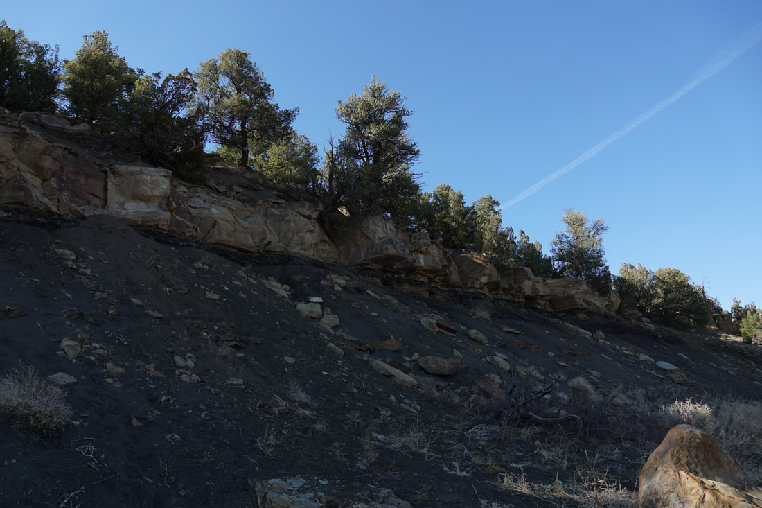
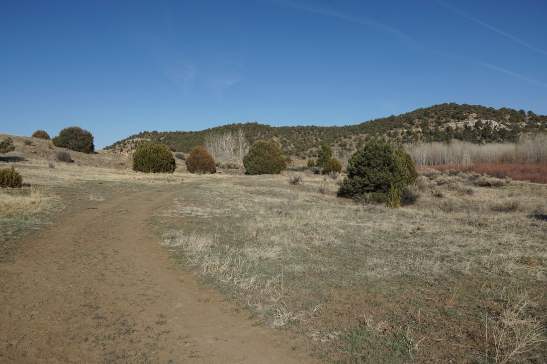
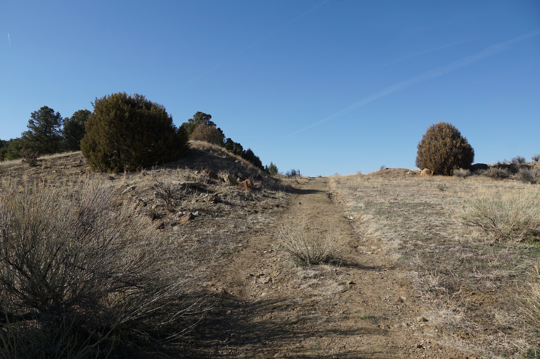
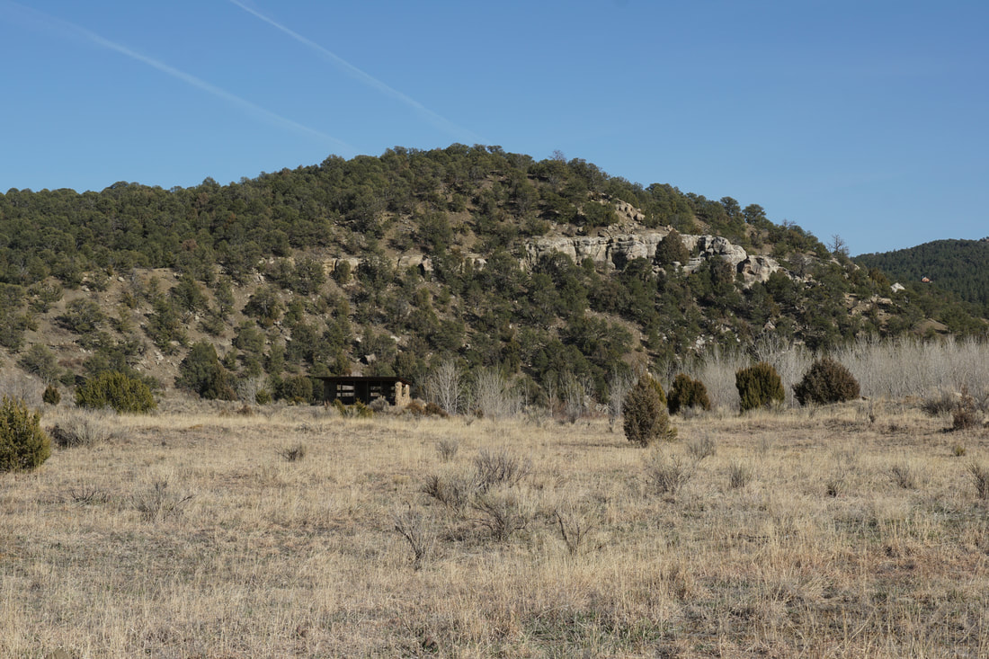
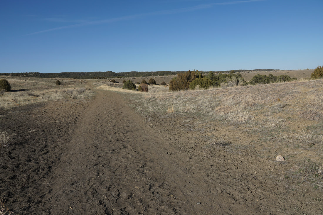
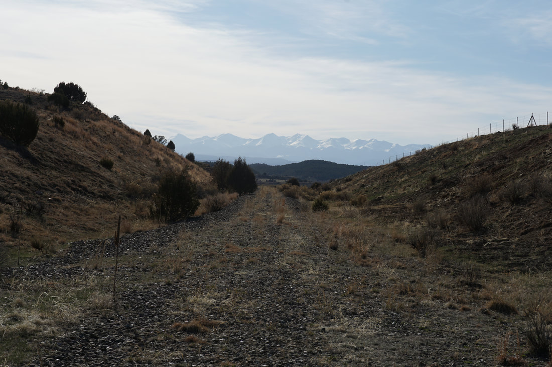
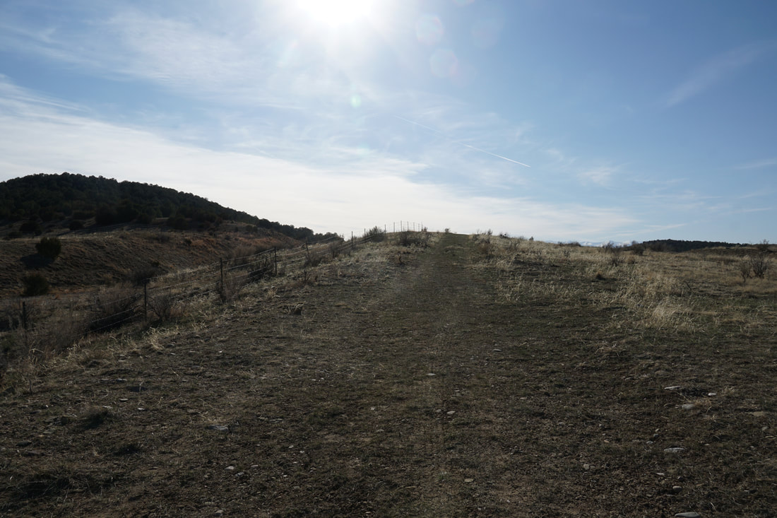
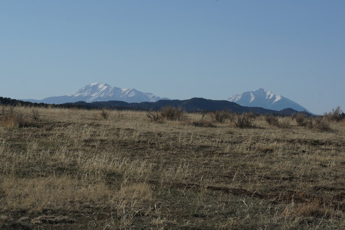
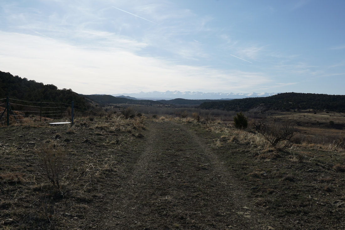
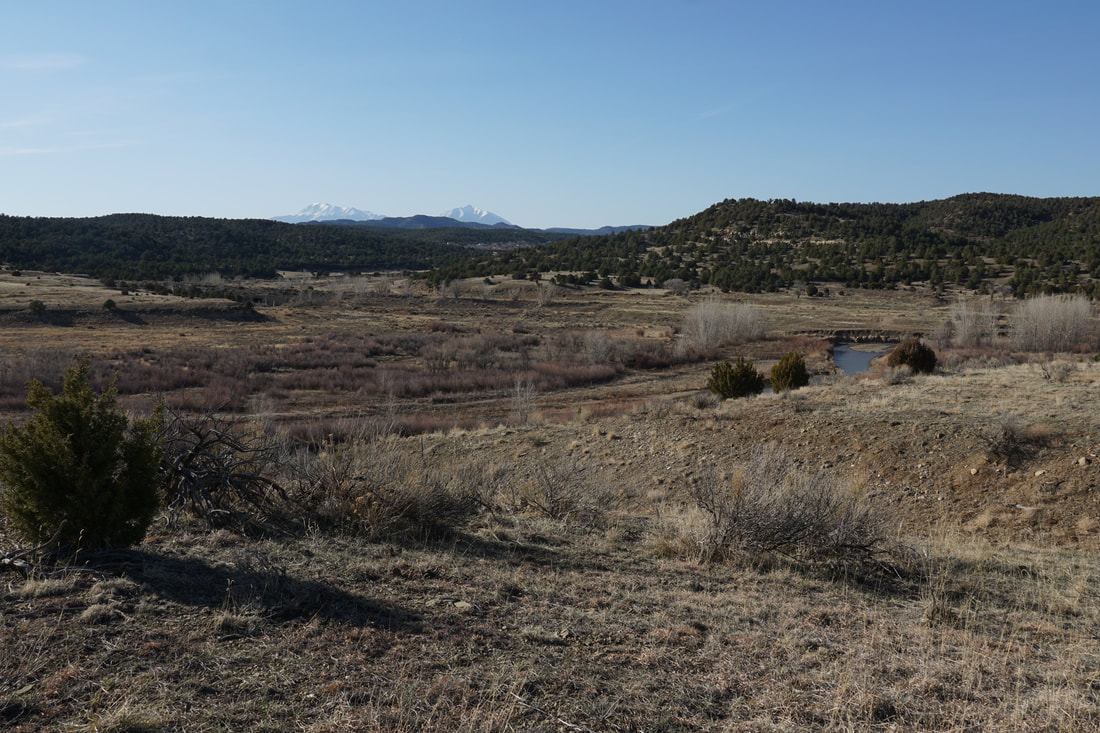
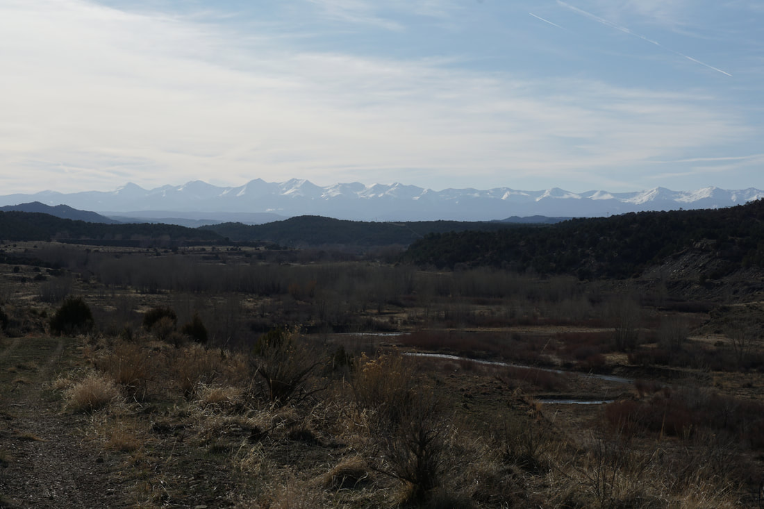
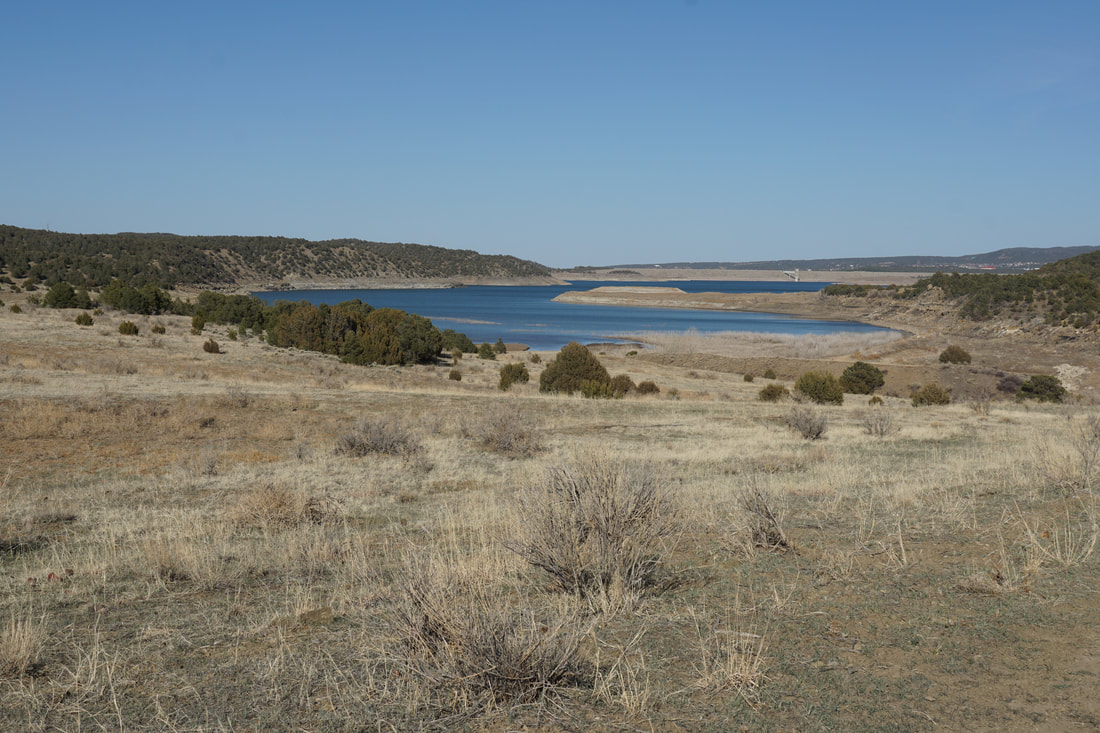
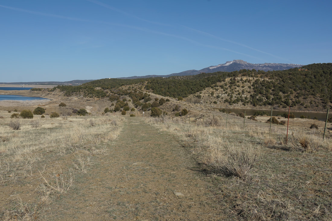
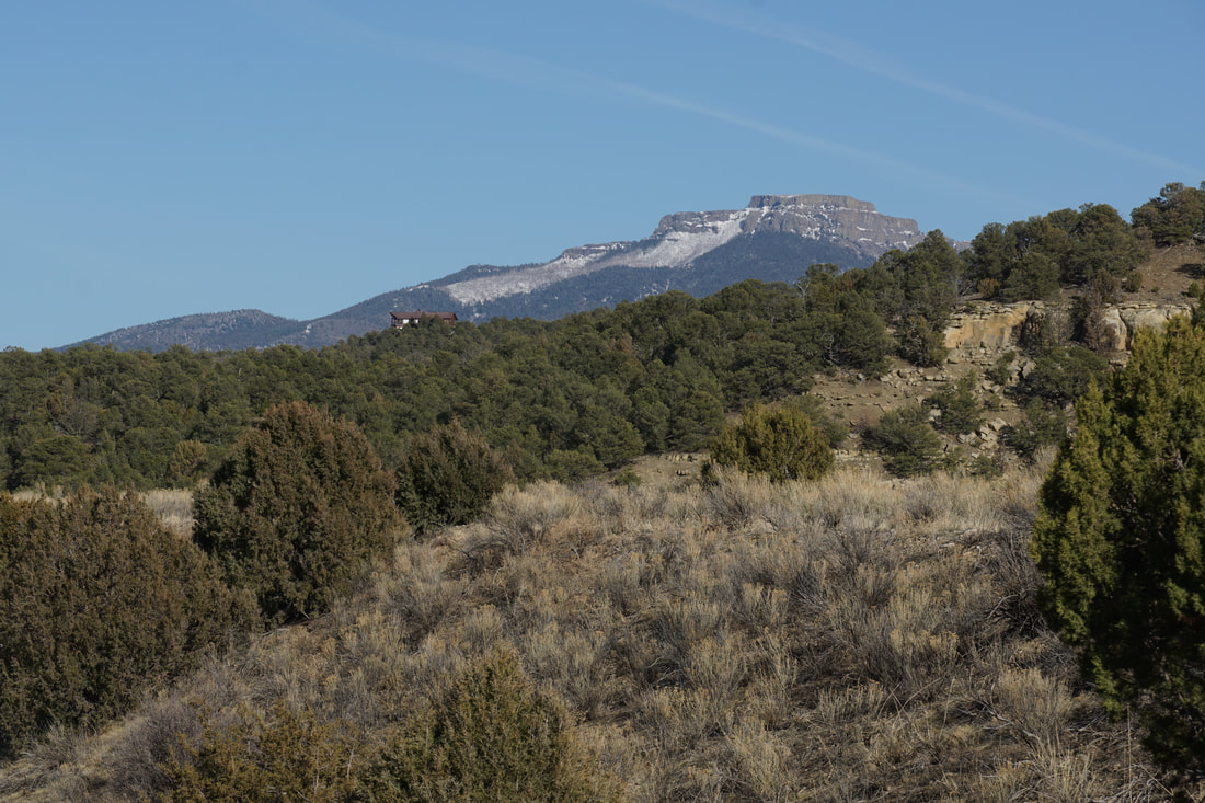
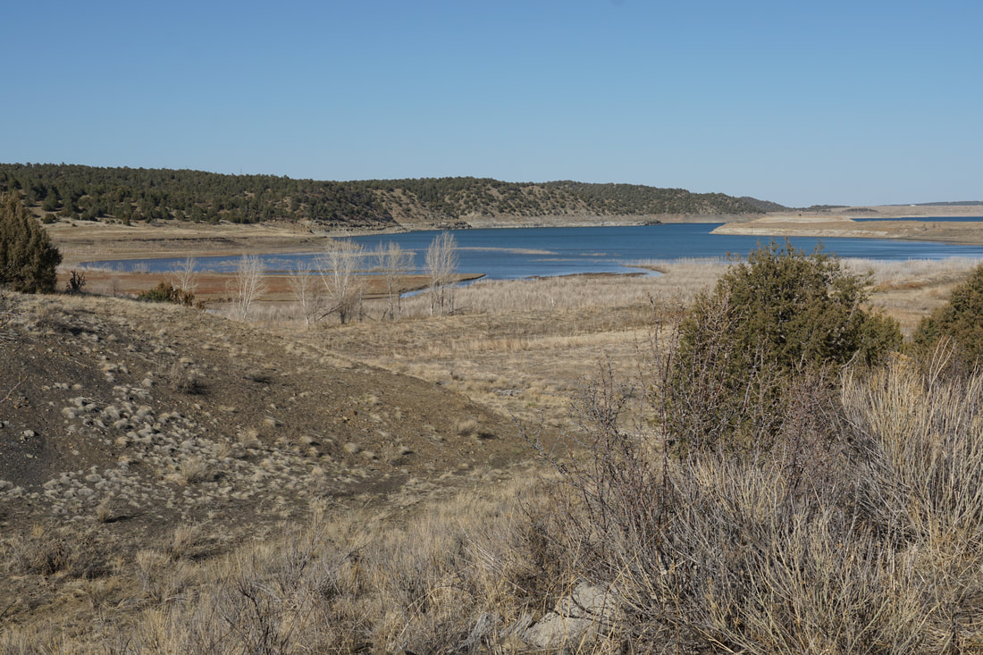
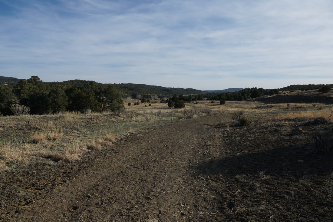
Getting to the trailhead takes a bit of navigation on dirt roads but the trailhead should be accessible by most vehicles in good weather. The trail is wide and easy to follow as it follows Long Creek. On one side of the trail through the canyon, extraordinary geologic significance is on display. The canyon walls show the KT Boundary, the transition between the Cretaceous and Tertiary periods of geologic time. On the other side of the canyon is a wide riparian and wetland area with the creek running through willows and hills surrounding the landscape. In the distance, Fisher's Peak can be viewed towering over Trinidad. After about half a mile of hiking, you'll reach a gate and some signs for wildlife blinds. A spur trail heads off to the left (west) this trail takes you back into the hills to visit a wildlife blind and eventually returns you to the trail just ahead. If you continue on the main trail, you'll see signs for wildlife blinds that overlook the river to the east. More on this later and we proceeded to the lake first, then visited the blinds on the return trip. The main trail gains a little elevation and reaches the South Shore Trail a little less than a mile from the Trailhead. Once you reach the South Shore Trail, do yourself a favor and head west for a few minutes up a small hill. The view of the Culebra Range and the Spanish Peaks is well worth the short detour. Returning to the junction with the Longs Canyon trail, head east on the South Shore Trail. We followed this trail for just a few minutes before heading back but you can hike as long as you want on this trail, it is about 2.5 miles to the eastern South Shore Trailhead. The trail gives you a very nice view of the lake and of Fishers Peak in the distance. On your way back I highly suggest taking the short spur trails to check out the wildlife blinds. There is a lot of top notch wildlife and bird viewing potential from these blinds. There is a nice pond just south of the lake and the view from the blinds can't be beat. After visiting the blinds, the spur trails lead you back to the main trail. Overall, this is a nice, easy, relaxing hike with potential for wildlife views, geologic education, and even views of the Spanish Peaks and the Culebra Range of the Sangre De Cristo Mountains. This area is often overlooked for hiking but there are some real gems here, well worth your time... |
|