|
DIRECTIONS: The Lone Pine Recreation Site is located along the Arkansas River and Hwy 50 just east of Cotopaxi, CO. There are obvious signs and plenty of parking.
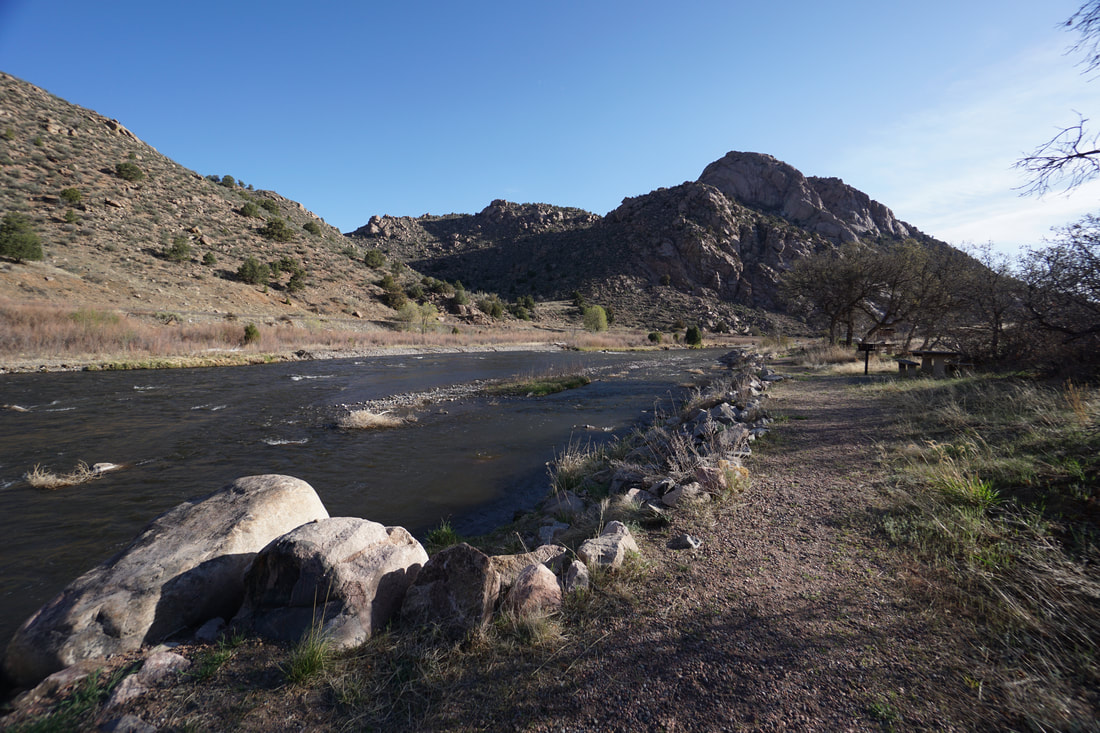
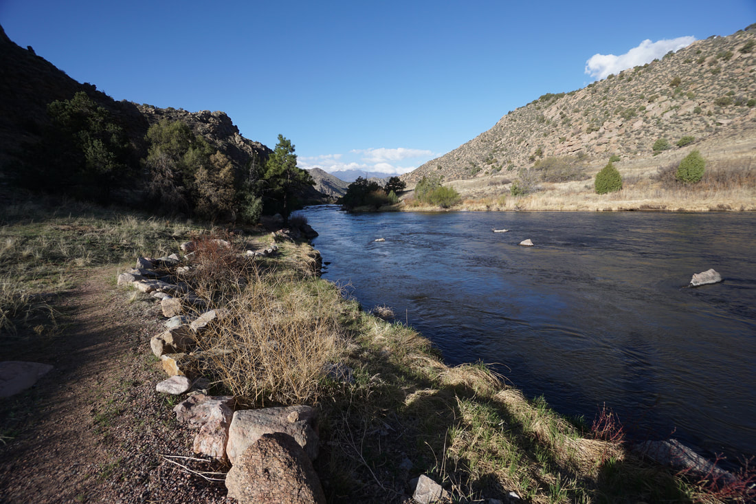
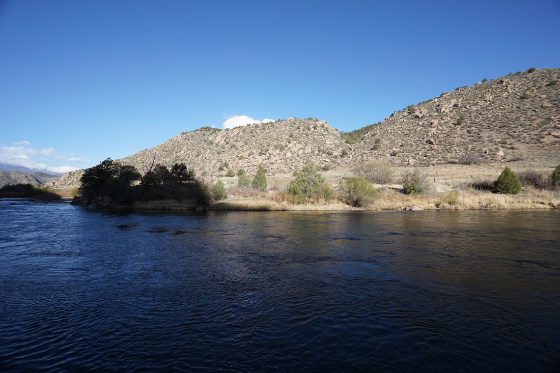
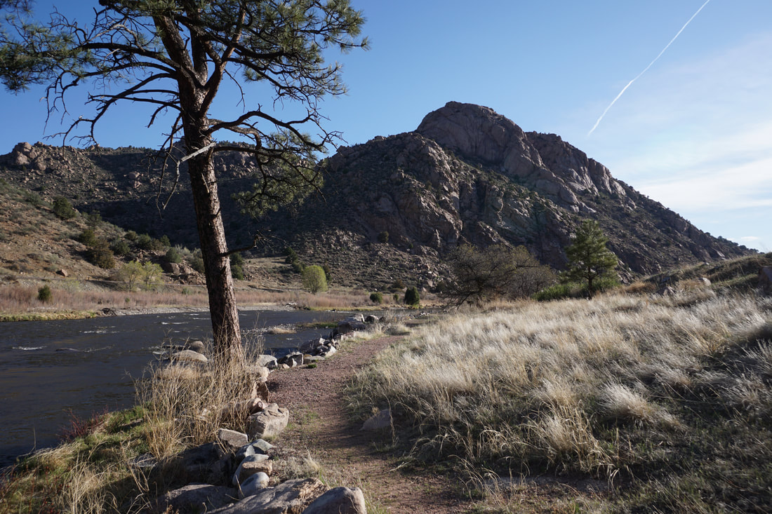
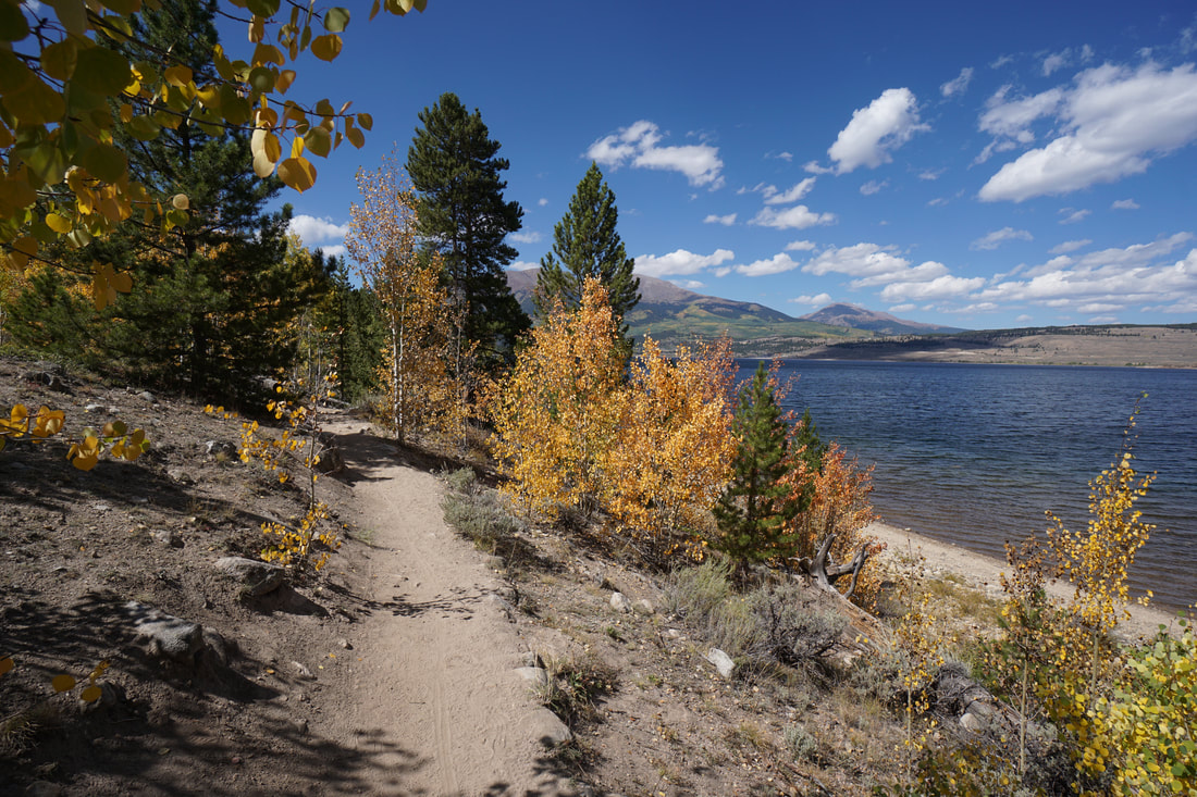
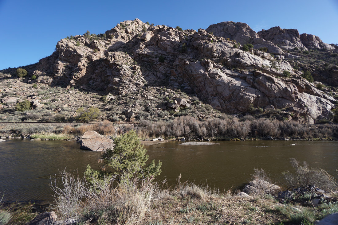
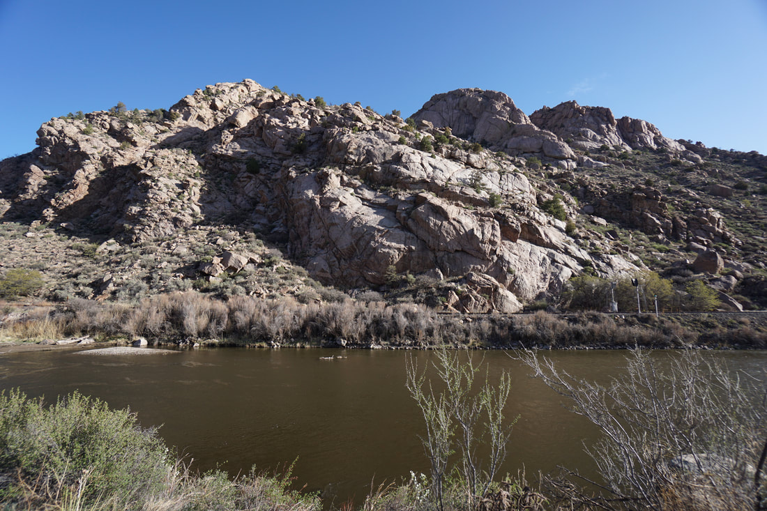
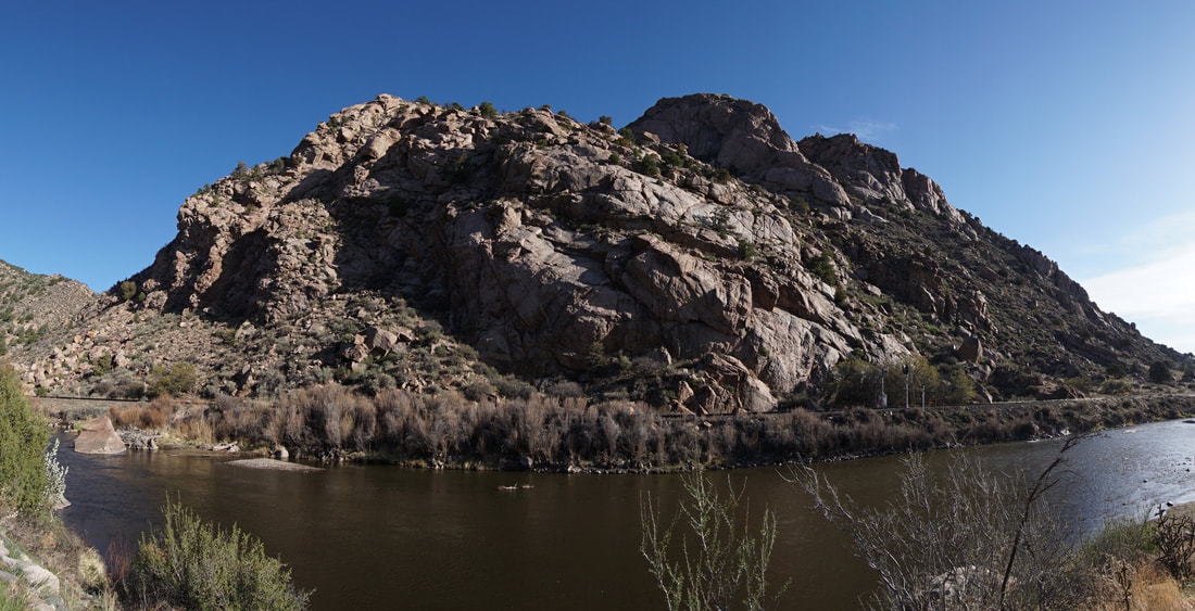
The Lone Pine Recreation Site is one of many sites that make up the Arkansas Headwaters Recreation Area, managed by Colorado State Parks. The site has picnic areas, bathrooms, and a short trail that runs along the river. The trail is mainly used for fishing and river access but it makes for a pleasant walk in a canyon that has few hiking opportunities. This trail is perfect to stretch your legs as you are traveling through the canyon on your way to Cañon City, Salida, or beyond. The Arkansas River divides the Front Range and the Sangre De Cristo Mountains so this hike could be categorized as a hike in either mountain range. Sine the hike is located along the southern banks of the Arkansas, I consider it a Sangre De Cristo hike. On a clear day, you can see the northernmost peaks of the Sangre De Cristo Range rising above the river. |
|
- HOME
- ABOUT
-
HIKES BY REGION
-
NATIONAL PARK HIKES
- BENT'S OLD FORT NATIONAL HISTORIC SITE
- BLACK CANYON OF THE GUNNISON NATIONAL PARK
- COLORADO NATIONAL MONUMENT
- CURECANTI NATIONAL RECREATION AREA
- DINOSAUR NATIONAL MONUMENT
- FLORISSANT FOSSIL BEDS NATIONAL MONUMENT
- MESA VERDE NATIONAL PARK
- ROCKY MOUNTAIN NATIONAL PARK
- GREAT SAND DUNES NATIONAL PARK
- HOVENWEEP NATIONAL MONUMENT
- SAND CREEK MASSACRE NATIONAL HISTORIC SITE
- YUCCA HOUSE NATIONAL MONUMENT
- HIKES BY CATEGORY
- NEWS
- WEBCAMS
- $UPPORT GHC
- INTERACTIVE MAP
Lone Pine Recreation Site
Arkansas Headwaters Recreation Area
Date Hiked: April 29, 2018
Distance: .7 mi (RT)
Elevation Gain: Minimal
Elevation: 6,300 ft
Trailhead Lat/Long:38º 23' 20" N; 105º 39' 21" W
Managing Agency: Colorado Division of Parks & Wildlife
Fee: Yes