|
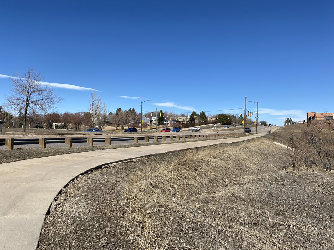
DIRECTIONS: There is no parking for the Lilley Gulch Trail so I recommend you park on Fair Avenue which intersects with Kipling Street, south of Bowles Ave. You can park along the street near the entrance to Webster Park and cross Kipling at a traffic light.
The Lilley Gulch Trail is a pleasant paved recreation path that cuts through the suburbs southwest of Denver. The trail runs east to west about 2.5 miles one way. The trail connects parks, recreation centers, and schools and provides a natural get away for a quick workout. This description covers the western half of the trail from Webster Park to Wadsworth Blvd.
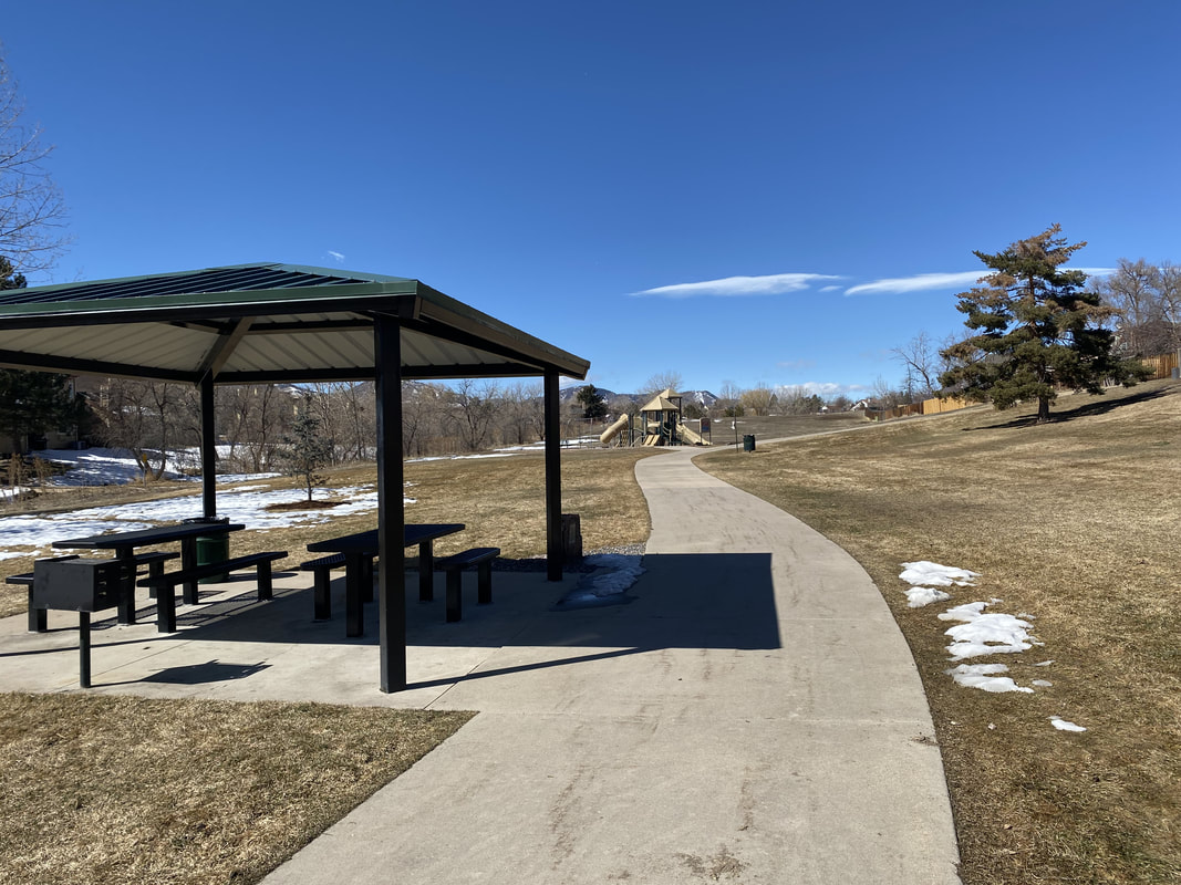
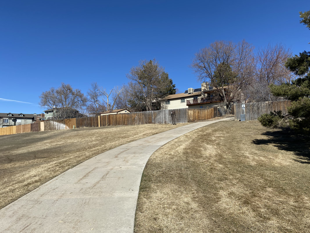
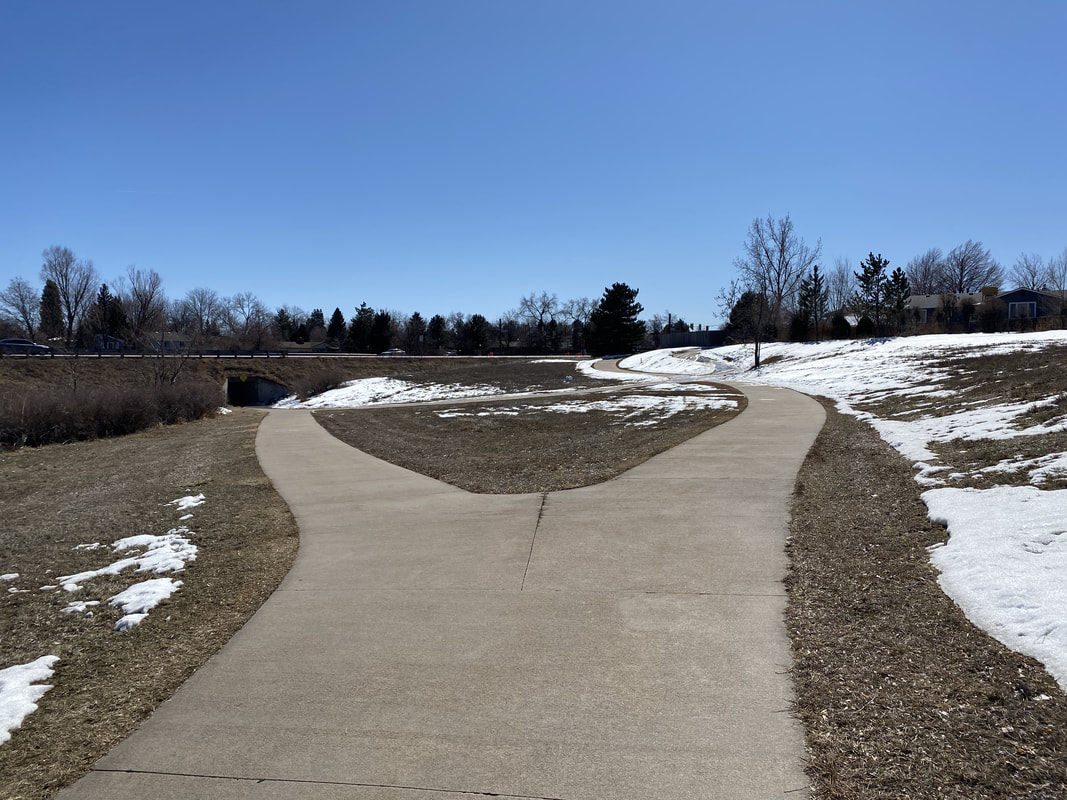
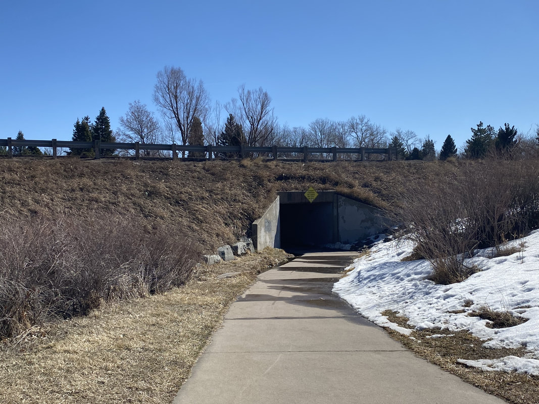
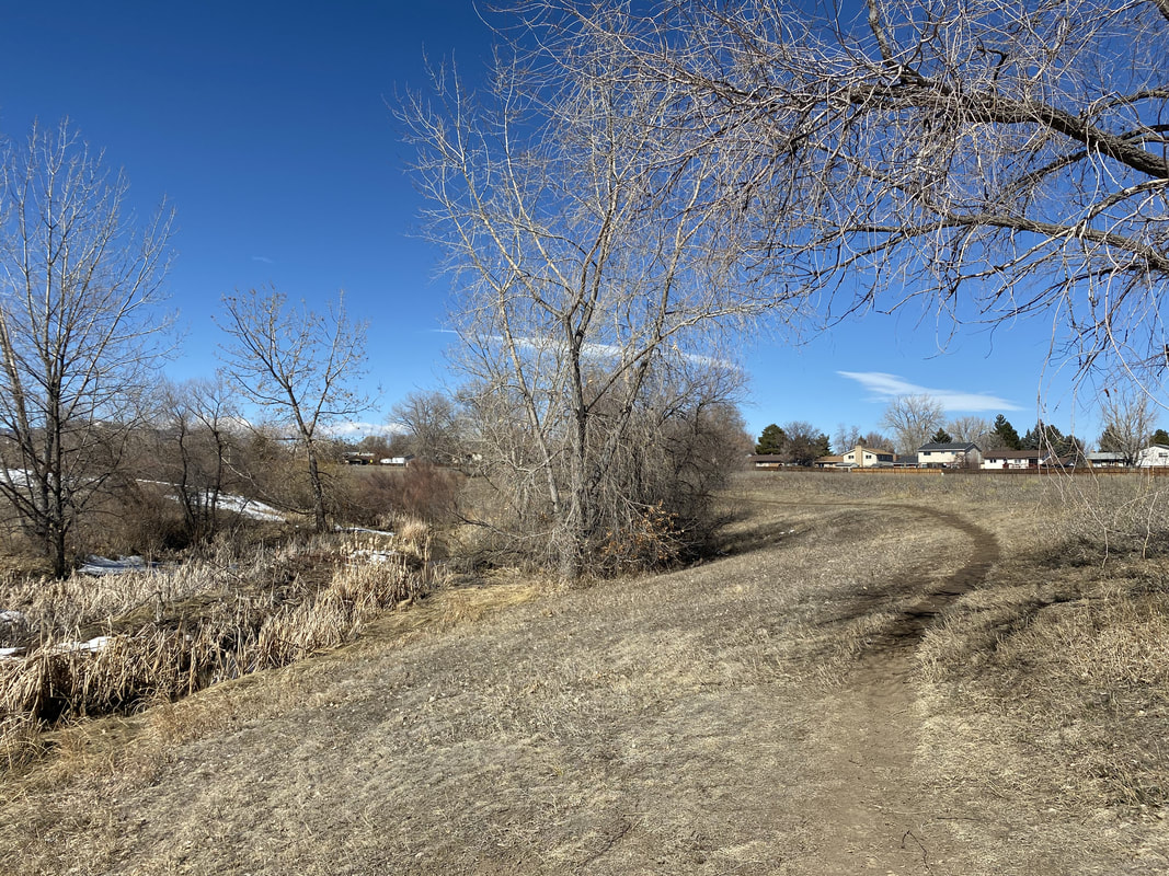
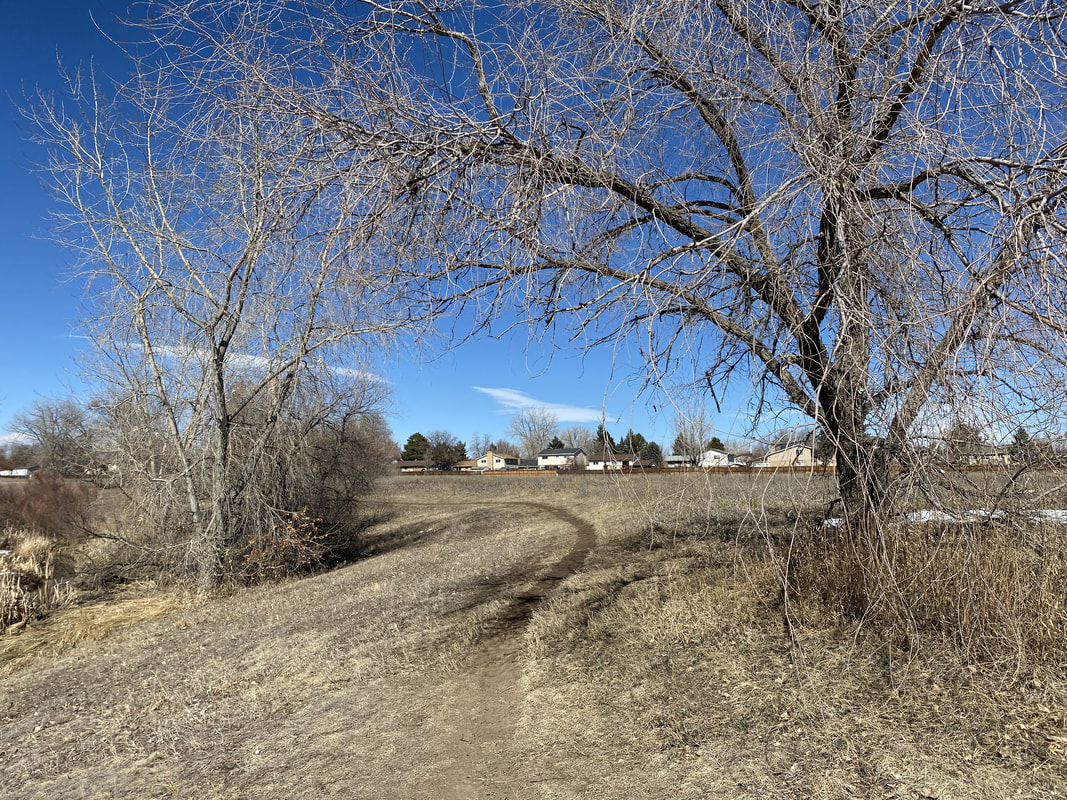
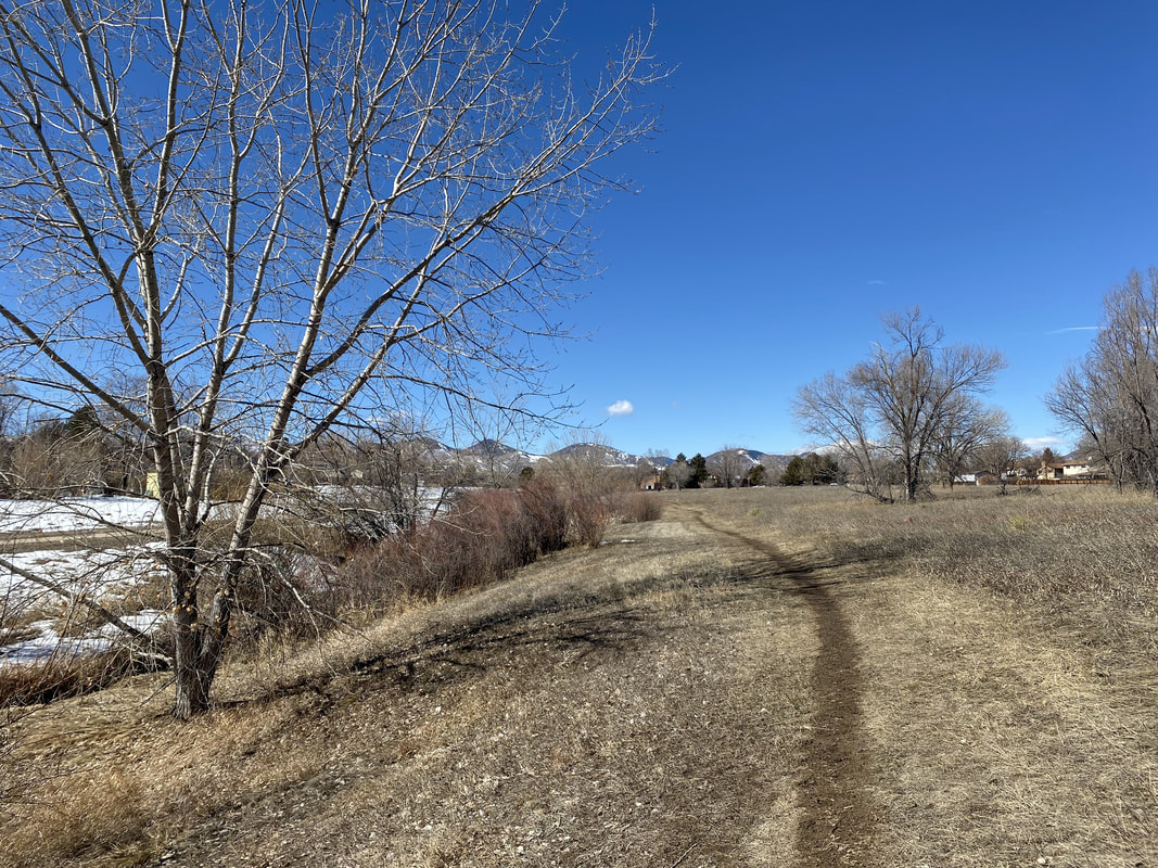
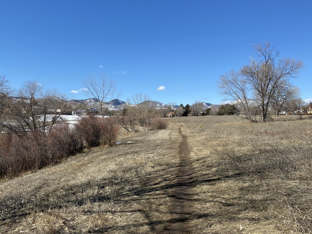
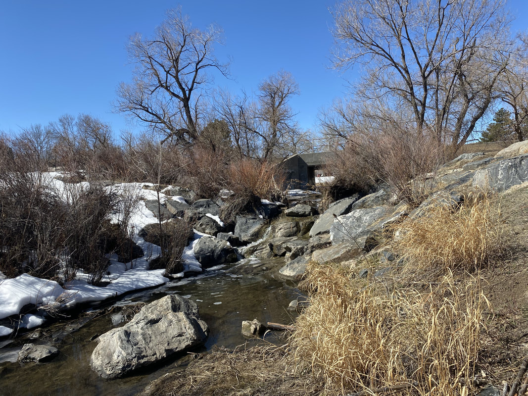
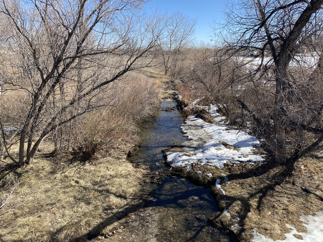
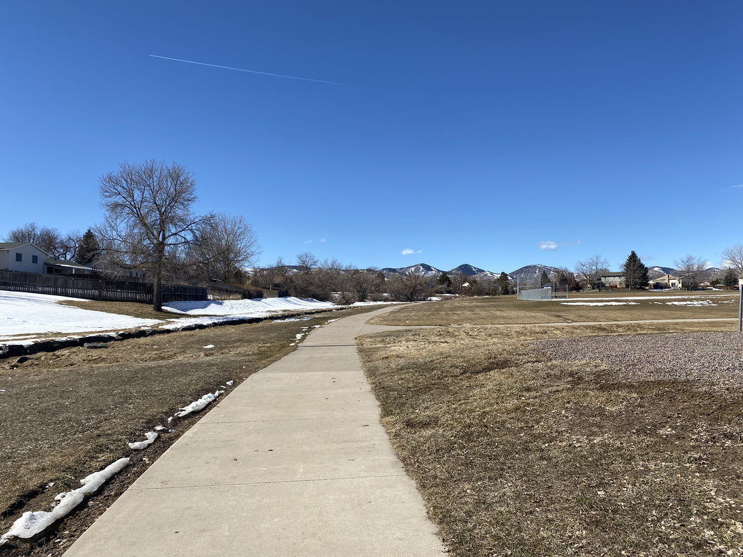
The trail starts in Webster Park, just west of Kipling Avenue. As you cross Kipling at Fair Ave, the trail drops down the gulch following a narrow tricking stream with scattered cottonwood trees. As the trail heads west it reaches the Lilley Gulch Rec Center with great playgrounds for the kids. The trail then crosses W. Holland Way and leads through Chief Collorow Park. The trail continues across S. Estes Street and enters a nice natural area that leads up to Wadsworth Ave. Continue along the paved path and just as you reach the tunnel heading under Wadsworth, you have the option of crossing the stream and returning to S. Estes Street on a single track natural surface trail. This is probably the most scenic part of the hike as the natural trail weaves through trees and passes two small (very small) waterfalls. When you arrive back at Estes Street, head back to Kipling Ave along the paved path with some nice views of the foothills in the distance. |
|
- HOME
- ABOUT
-
HIKES BY REGION
-
NATIONAL PARK HIKES
- BENT'S OLD FORT NATIONAL HISTORIC SITE
- BLACK CANYON OF THE GUNNISON NATIONAL PARK
- COLORADO NATIONAL MONUMENT
- CURECANTI NATIONAL RECREATION AREA
- DINOSAUR NATIONAL MONUMENT
- FLORISSANT FOSSIL BEDS NATIONAL MONUMENT
- MESA VERDE NATIONAL PARK
- ROCKY MOUNTAIN NATIONAL PARK
- GREAT SAND DUNES NATIONAL PARK
- HOVENWEEP NATIONAL MONUMENT
- SAND CREEK MASSACRE NATIONAL HISTORIC SITE
- YUCCA HOUSE NATIONAL MONUMENT
- HIKES BY CATEGORY
- NEWS
- WEBCAMS
- $UPPORT GHC
- INTERACTIVE MAP
Lilley Gulch Regional Trail
Webster Park to Wadsworth Blvd.
Date Hiked: March 3, 2020
Distance: 2.7 mi (RT)
Elevation Gain: 120 ft
Elevation: 5,675 ft
Trailhead Lat/Long: 39º 36' 19" N; 105º 06' 38" W
Managing Agency: Foothills Parks & Rec. District
Fee: None