|
DIRECTIONS: From I-25 in Walsenberg, CO, head west on Hwy 160. The park entrance will be on the right after just a few minutes of driving.
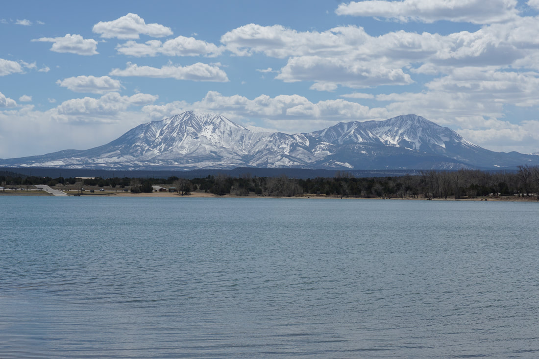
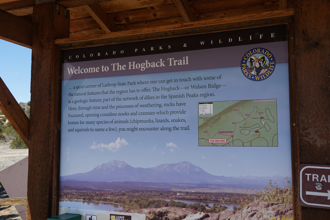
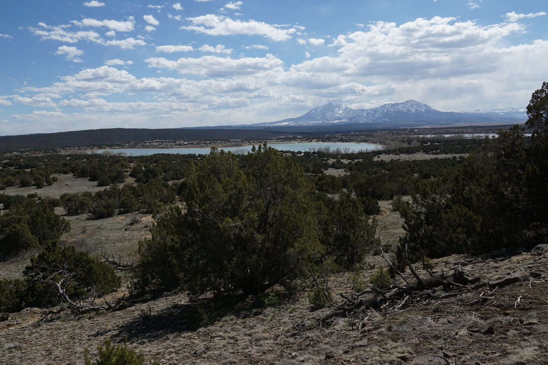
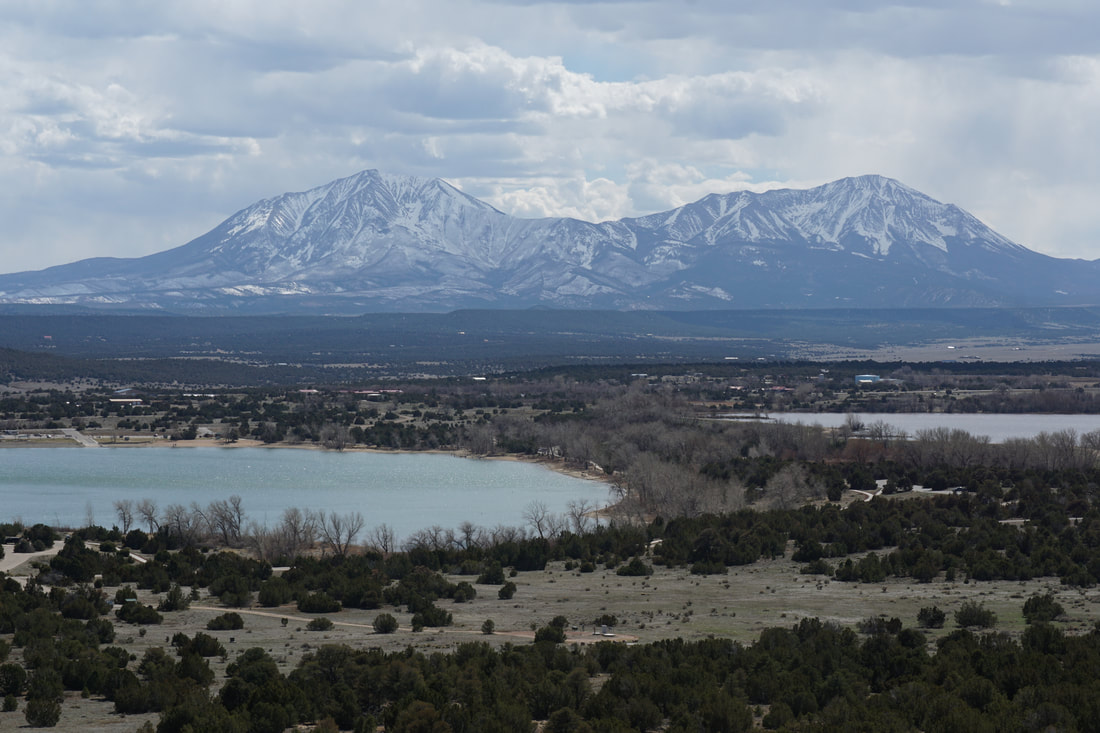
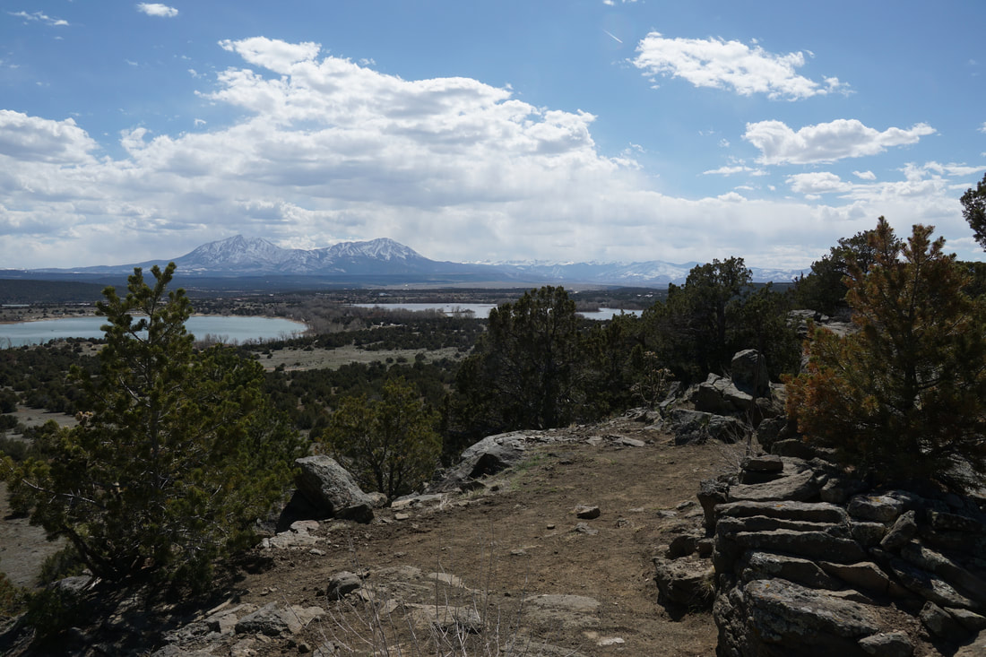
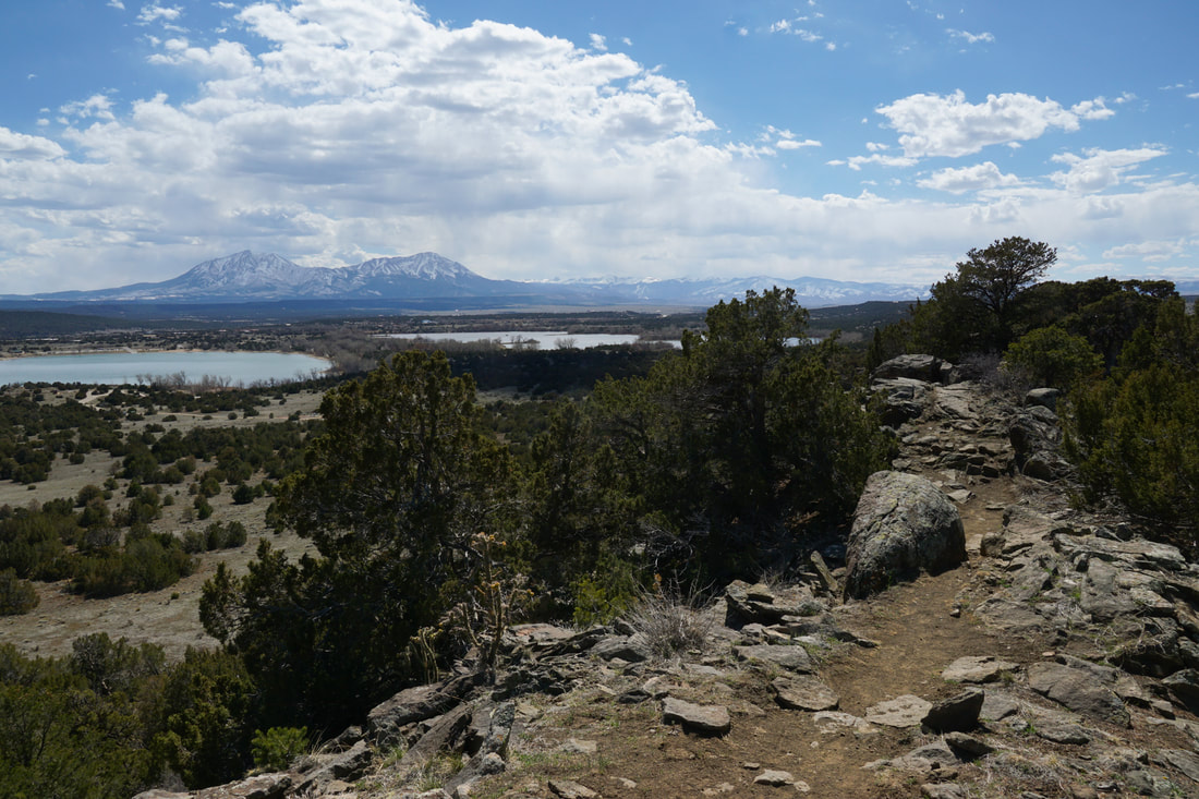
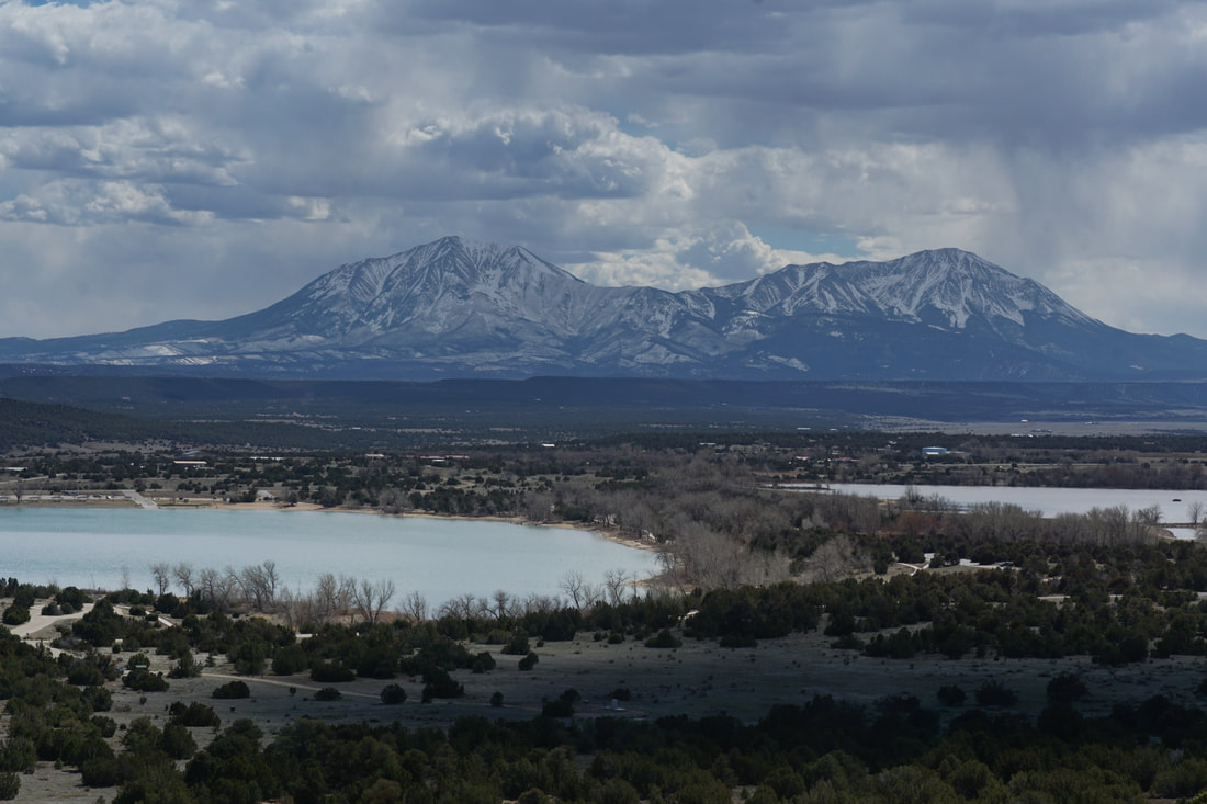
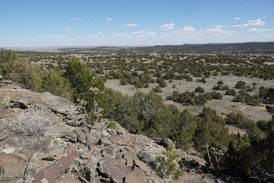
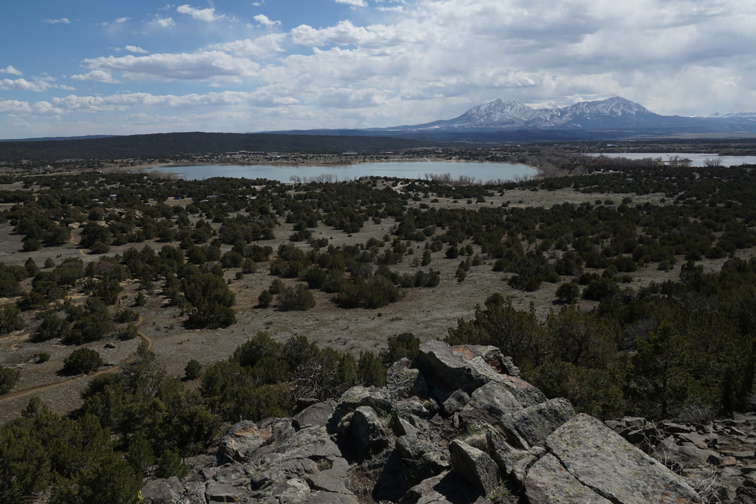
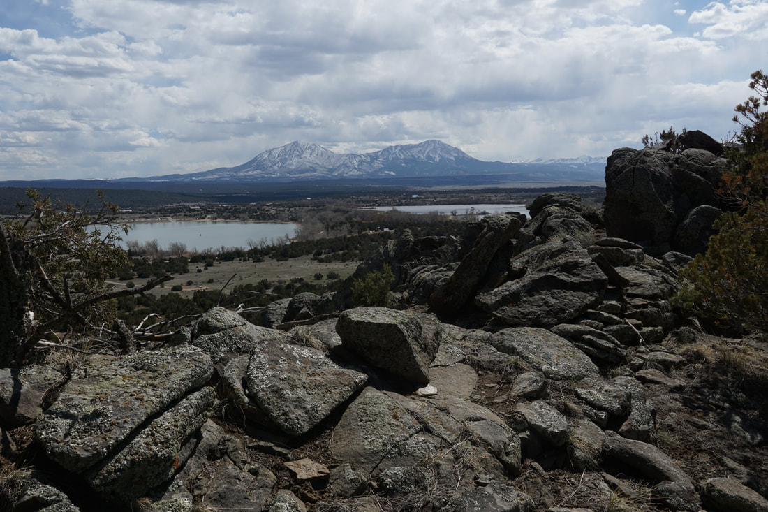
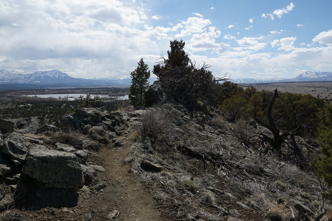
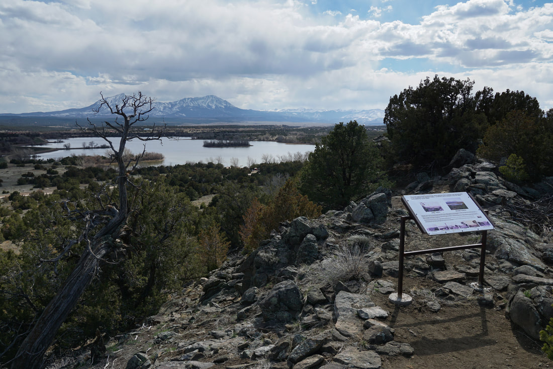
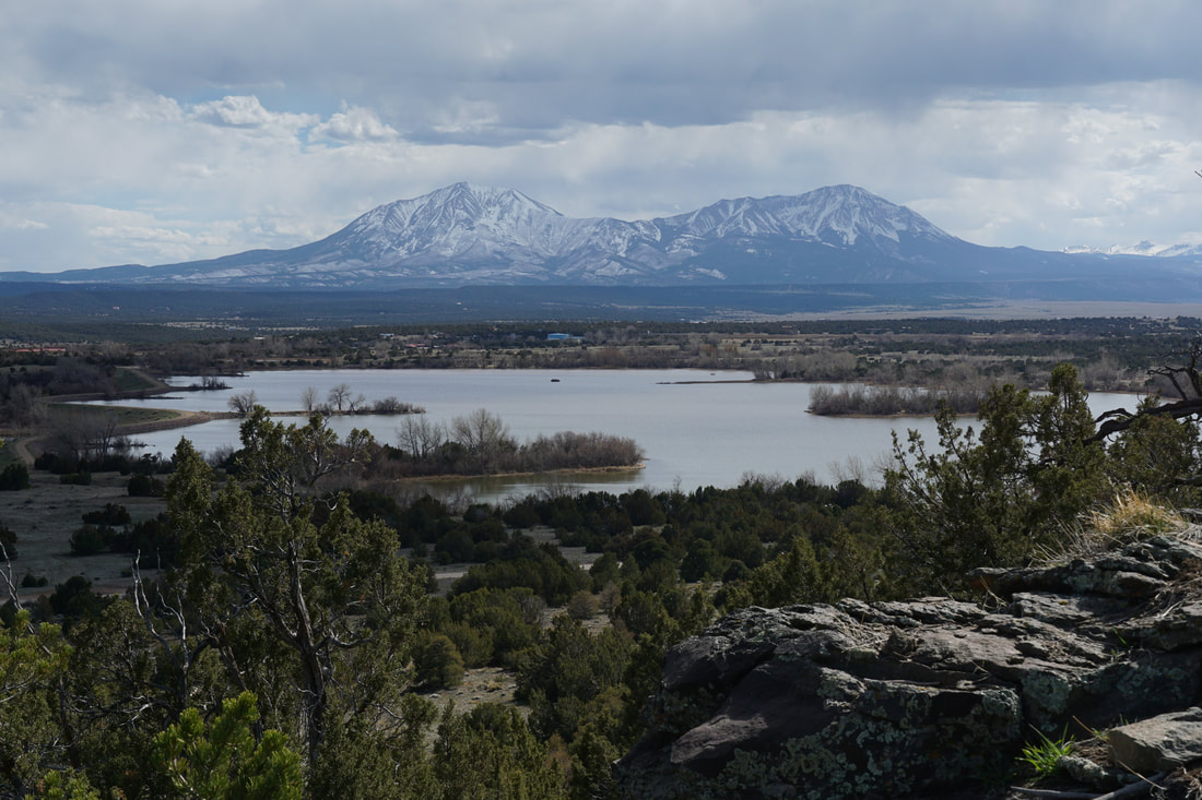
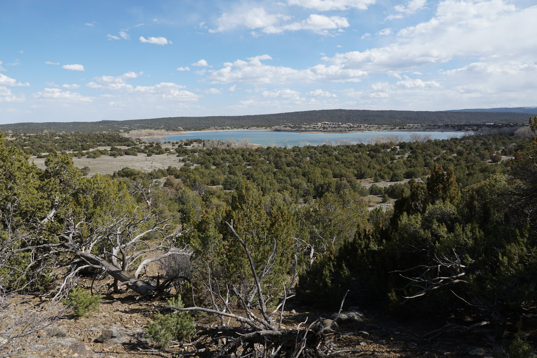
Lathrop State Park (Colorado's first!) is a small, unassuming park just minutes east of I-25 built around a reservoir. The park has a small footprint, and a hand full of small trails...but the views, are huge... The Hogback Trail climbs to the top of a rocky, ridge and offers up some of the best views in the area.
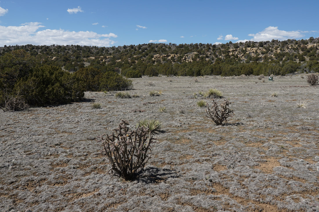
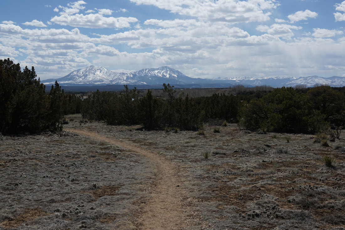
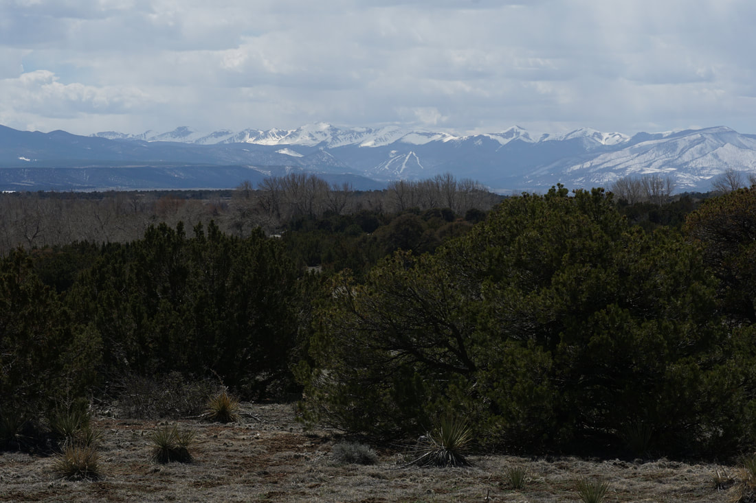
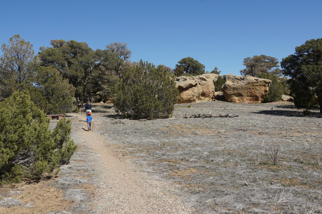
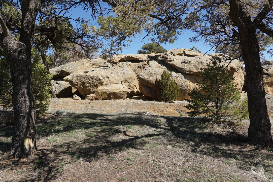
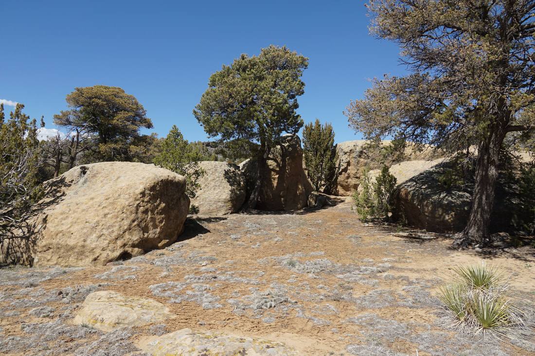
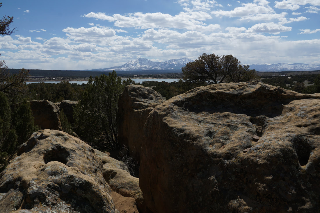
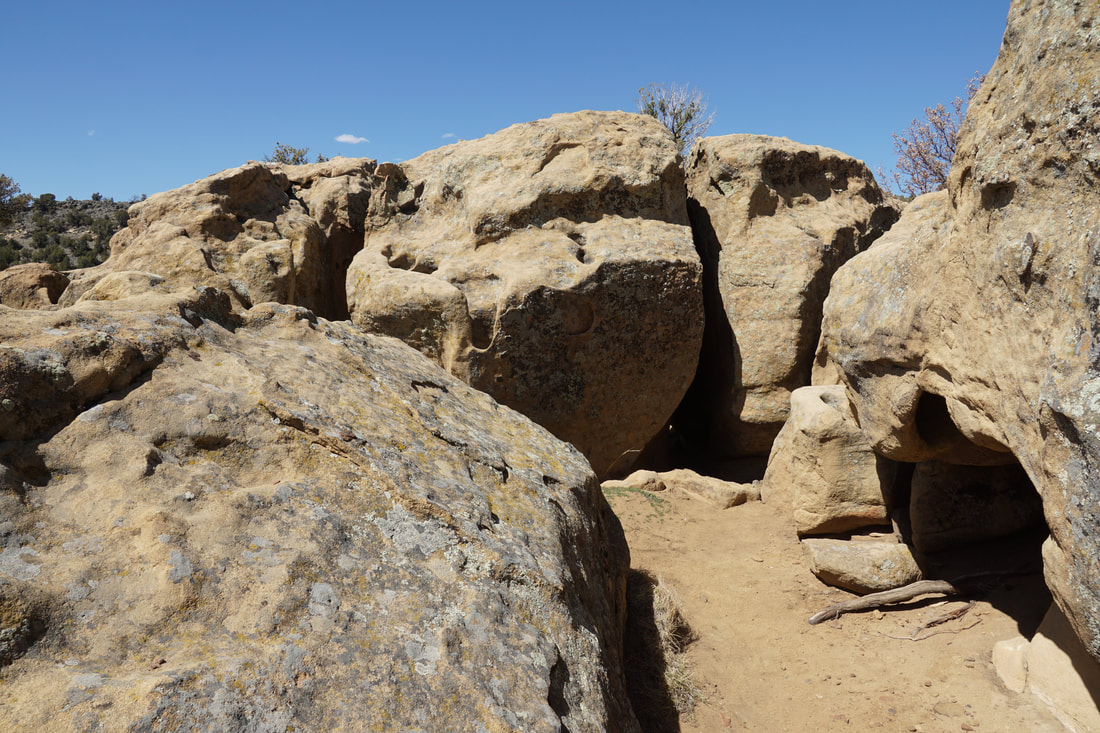
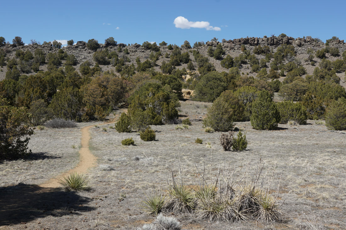
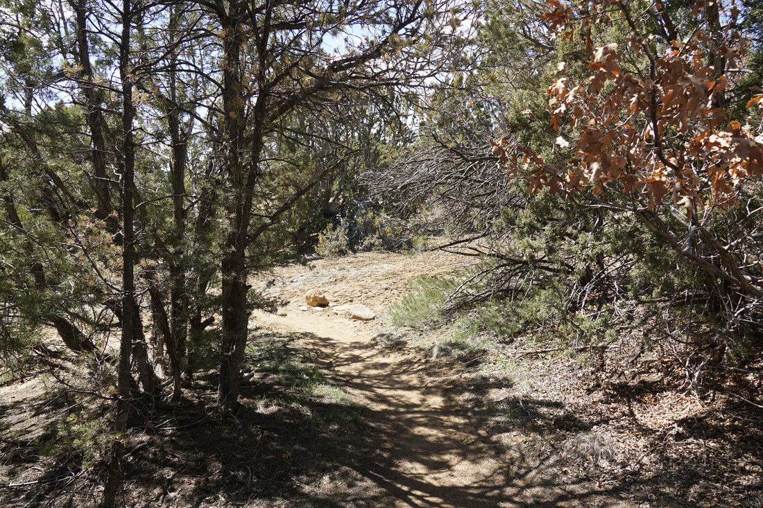
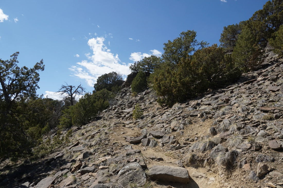
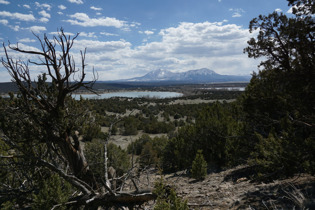
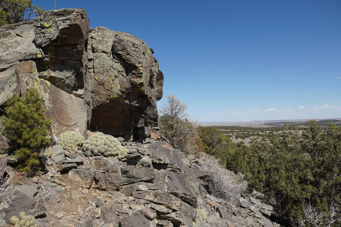
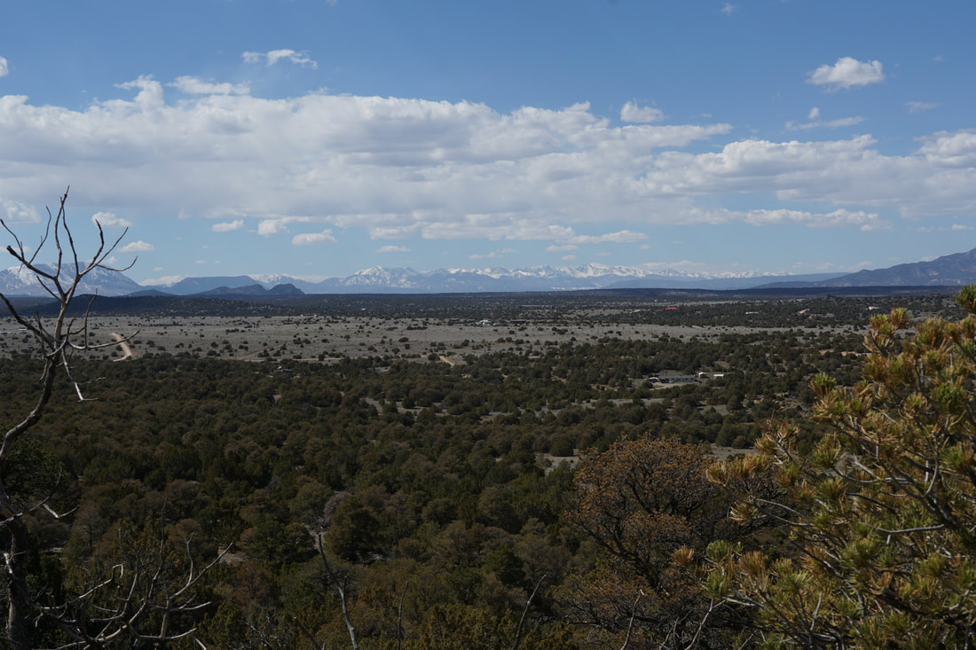
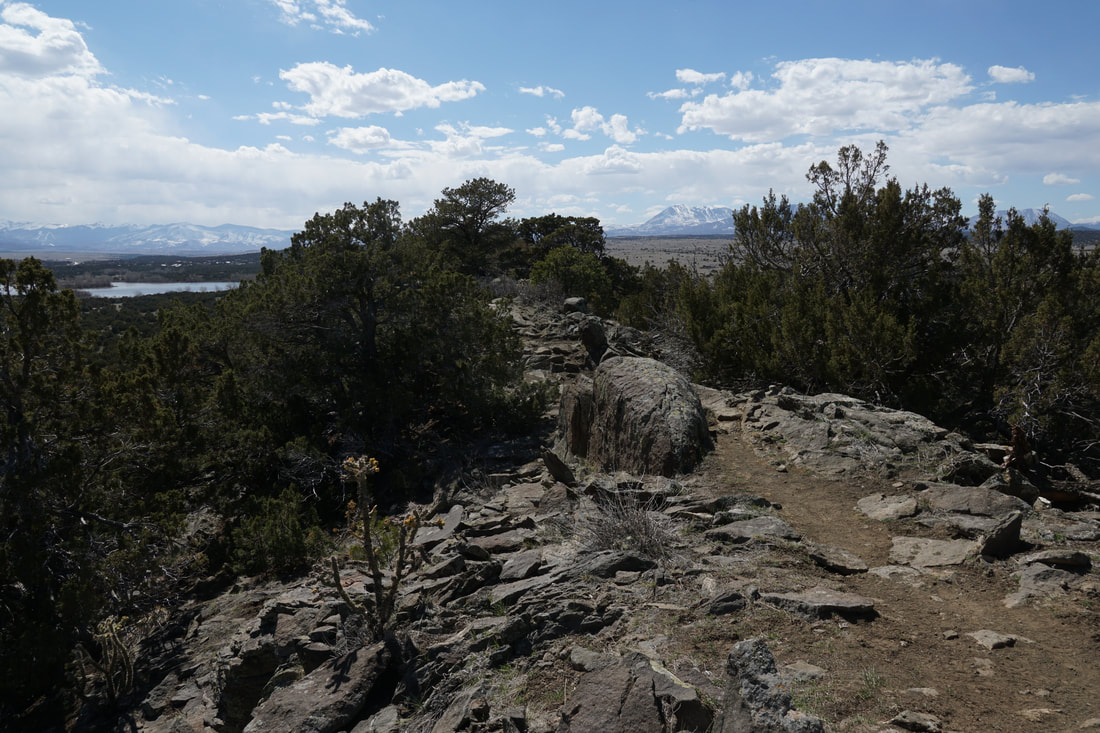
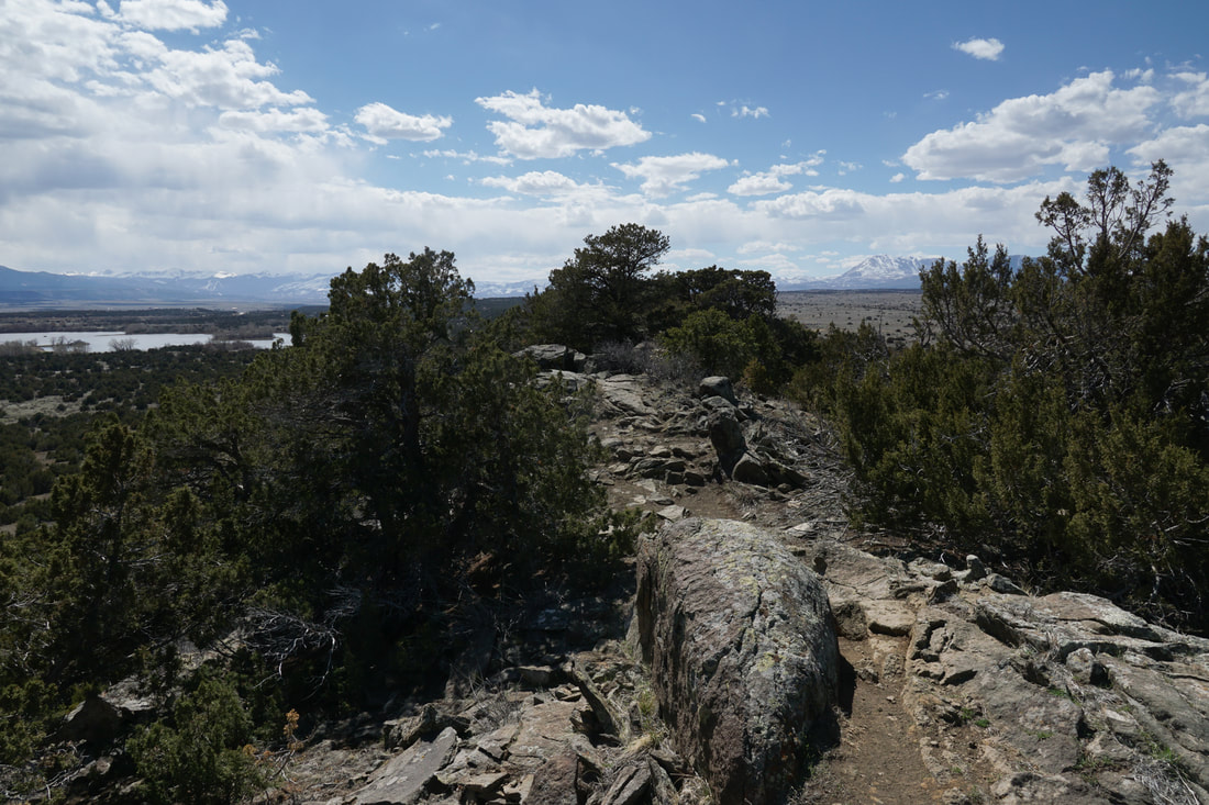
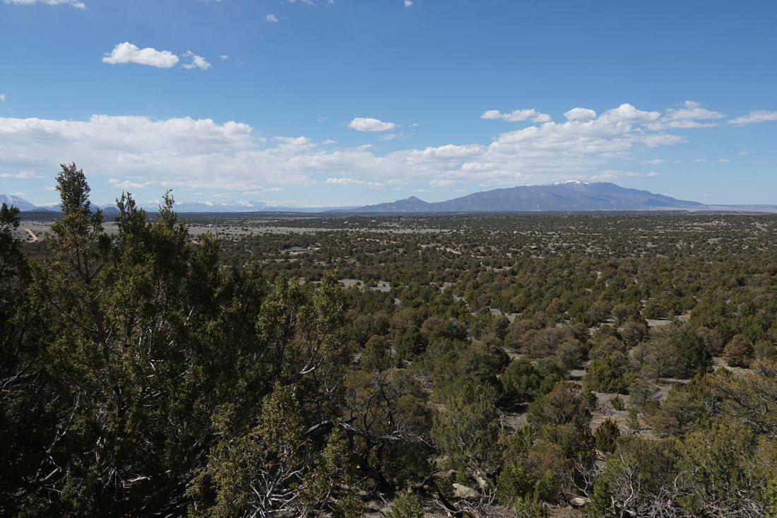
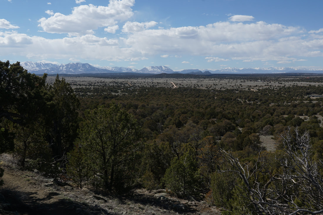
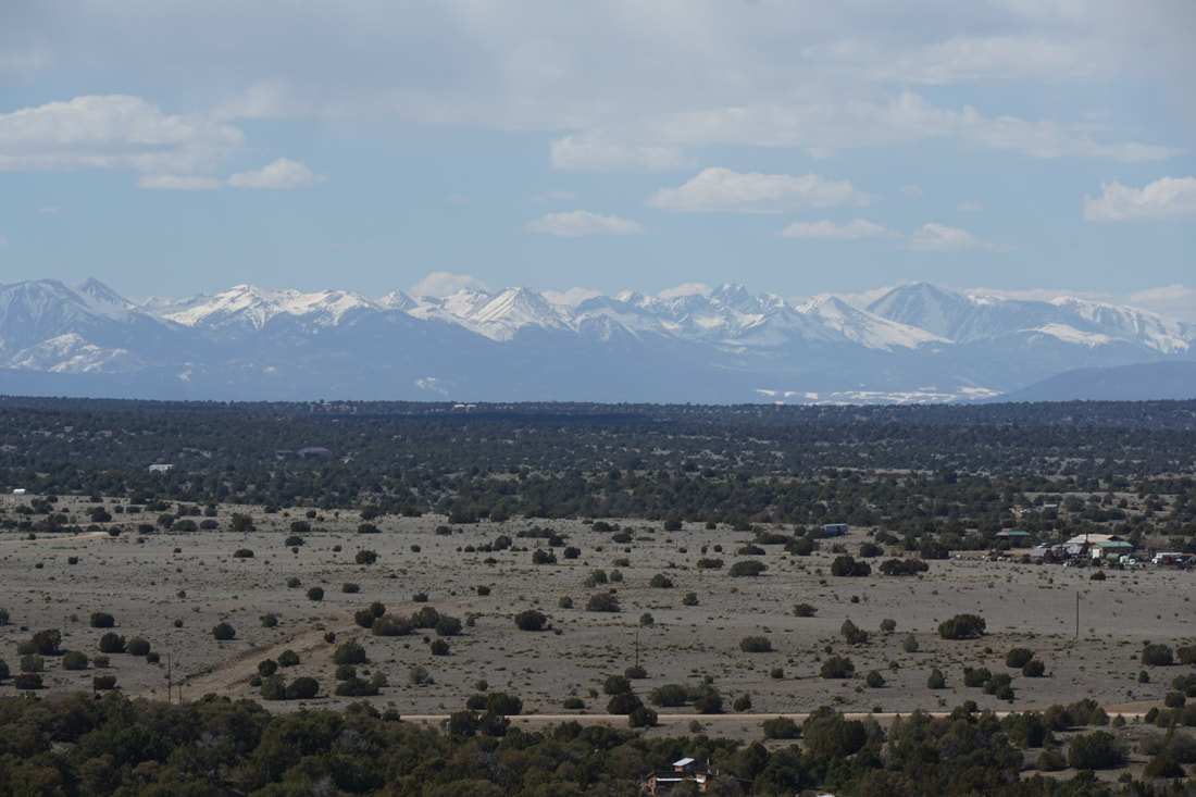
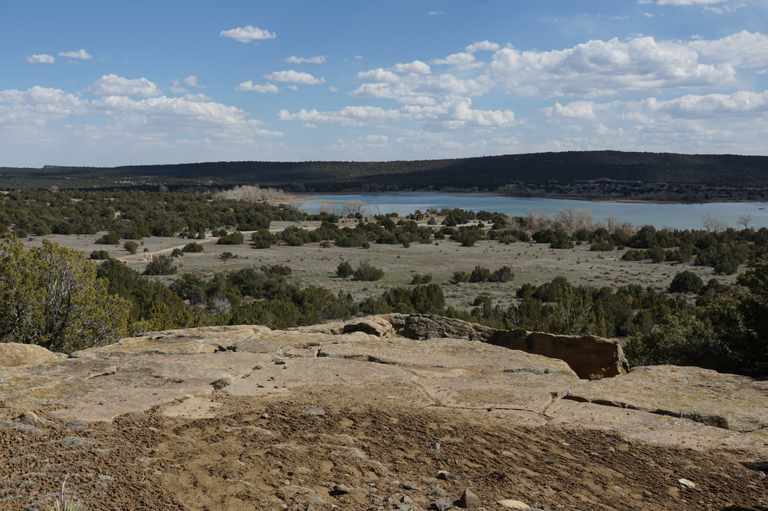
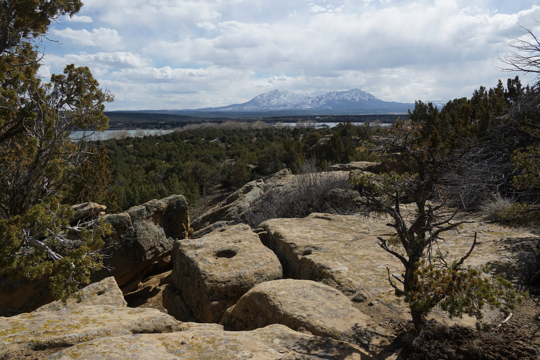
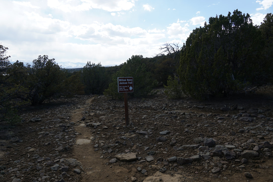
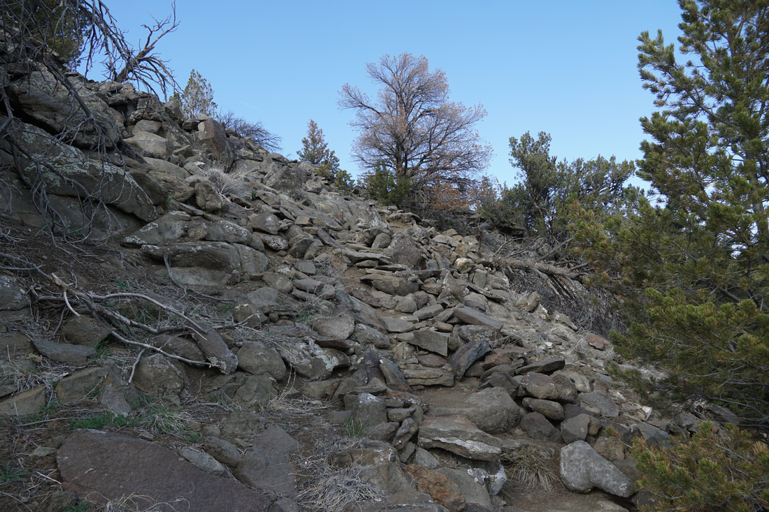
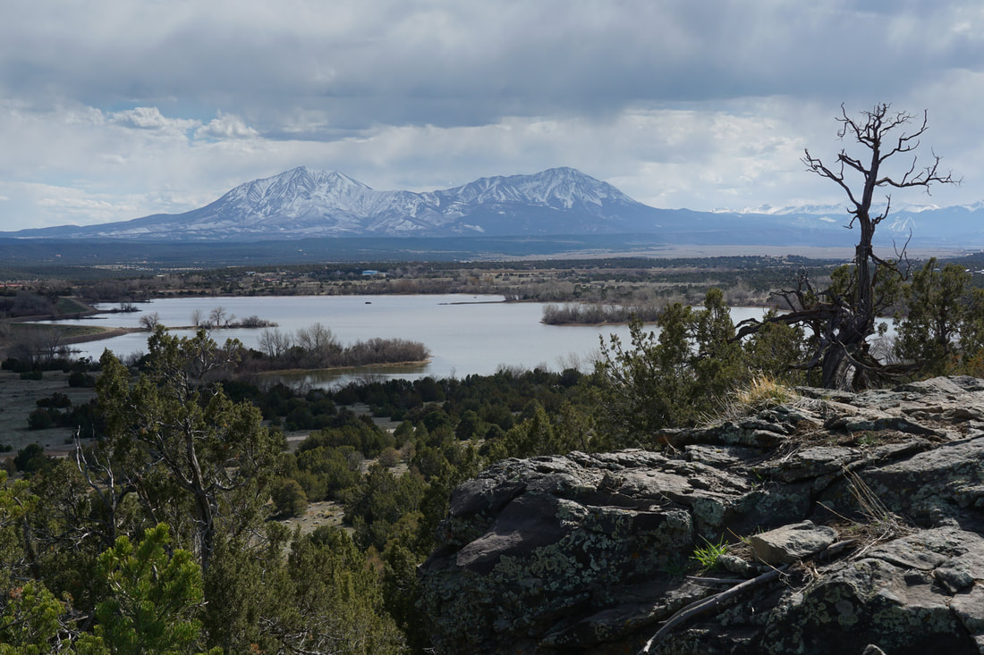
The hogback runs along the northern boundary of the park, north of the reservoirs. Therefore, the views of the lakes and the mountainous backdrop is stunning. From the trailhead, you head north through sagebrush and as you hike the views get bigger. As you reach the eastern side of the loop, be sure to check out the boulders, narrows, and caves...tons of fun for the kiddos. As the trail turns north, it starts to climb up the slopes of the hogback. As you climb and once you reach the top, the views open up in every direction and are simply incredible. The Spanish Peaks are just to the south of the park and provide the most iconic view. To the west of the Spanish Peaks are the Culebra Range, and the Sangre De Cristo Range are directly west of the Park. To the north of the park, the southern tip of the Wet Mountains with Greenhorn Peak towering above the hogback is wonderful. To the east, the prairie stretches out to the horizon...amazing views. The trail traverses the ridge for a fun and jaw dropping 1/4 mile. When you leave the ridge, the trail descends down to the sagebrush. Just before you fully descend, the William H. Jackson Trail climbs back up to the top of the hogback once again for one last iconic view. As you return to the trailhead you may just be amazed at how big this small little trail feels. This trail is easy overlooked but should be on any Colorado hiker's to-do list. |
|
- HOME
- ABOUT
-
HIKES BY REGION
-
NATIONAL PARK HIKES
- BENT'S OLD FORT NATIONAL HISTORIC SITE
- BLACK CANYON OF THE GUNNISON NATIONAL PARK
- COLORADO NATIONAL MONUMENT
- CURECANTI NATIONAL RECREATION AREA
- DINOSAUR NATIONAL MONUMENT
- FLORISSANT FOSSIL BEDS NATIONAL MONUMENT
- MESA VERDE NATIONAL PARK
- ROCKY MOUNTAIN NATIONAL PARK
- GREAT SAND DUNES NATIONAL PARK
- HOVENWEEP NATIONAL MONUMENT
- SAND CREEK MASSACRE NATIONAL HISTORIC SITE
- YUCCA HOUSE NATIONAL MONUMENT
- HIKES BY CATEGORY
- NEWS
- WEBCAMS
- $UPPORT GHC
- INTERACTIVE MAP
Lathrop Hogback Trail
Lathrop State Park
Date Hiked: April 3, 2021
Distance: 1.6 mi (RT)
Elevation Gain: 485 ft
Elevation: 6,450 ft
Managing Agency: CO Division of Parks & Wildlife
Fee: Yes