|
DIRECTIONS: The trailhead is located along Hwy 65 (Grand Mesa Scenic Byway) about 1/2 mile east of the County Line Trailhead and 1 mile west of the Island Lake Campground turnoff.
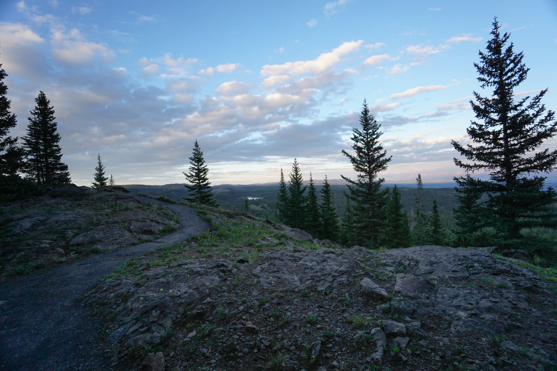
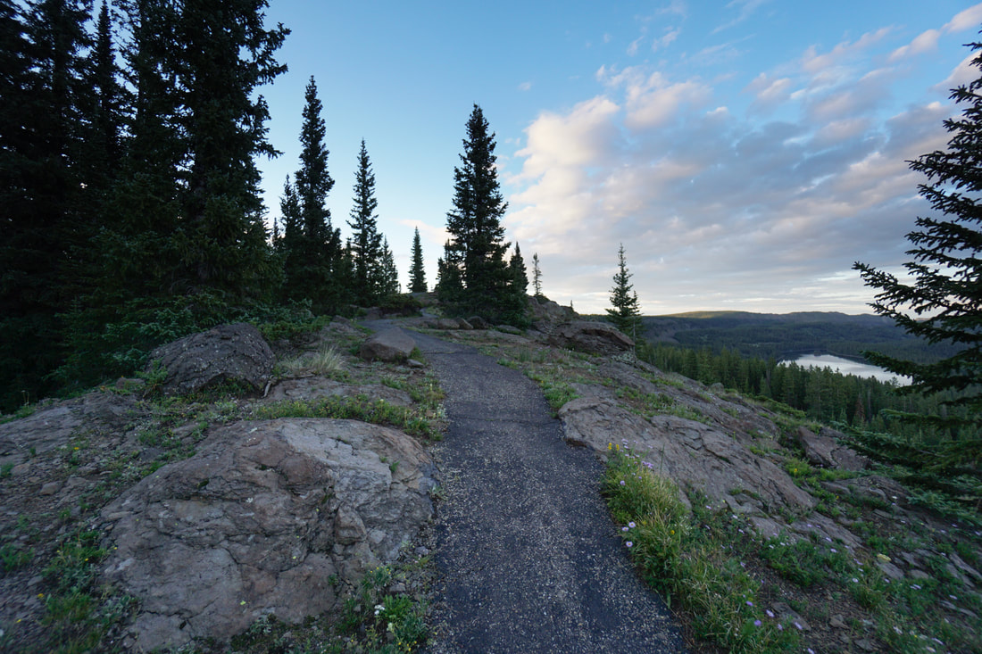
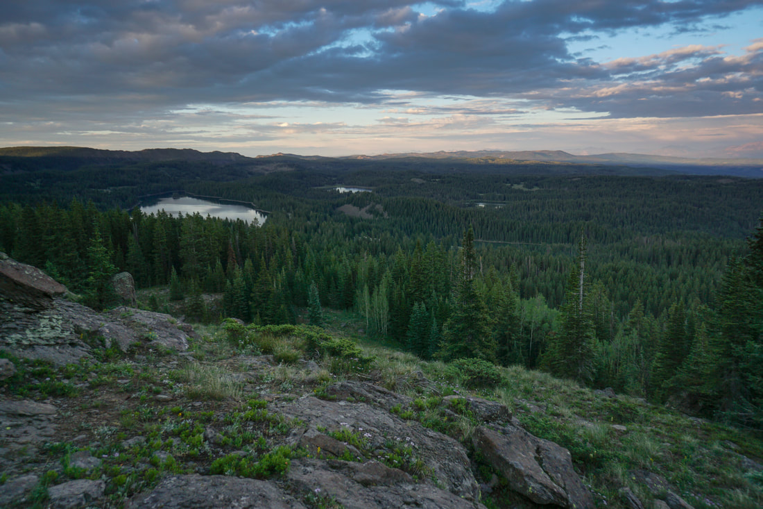
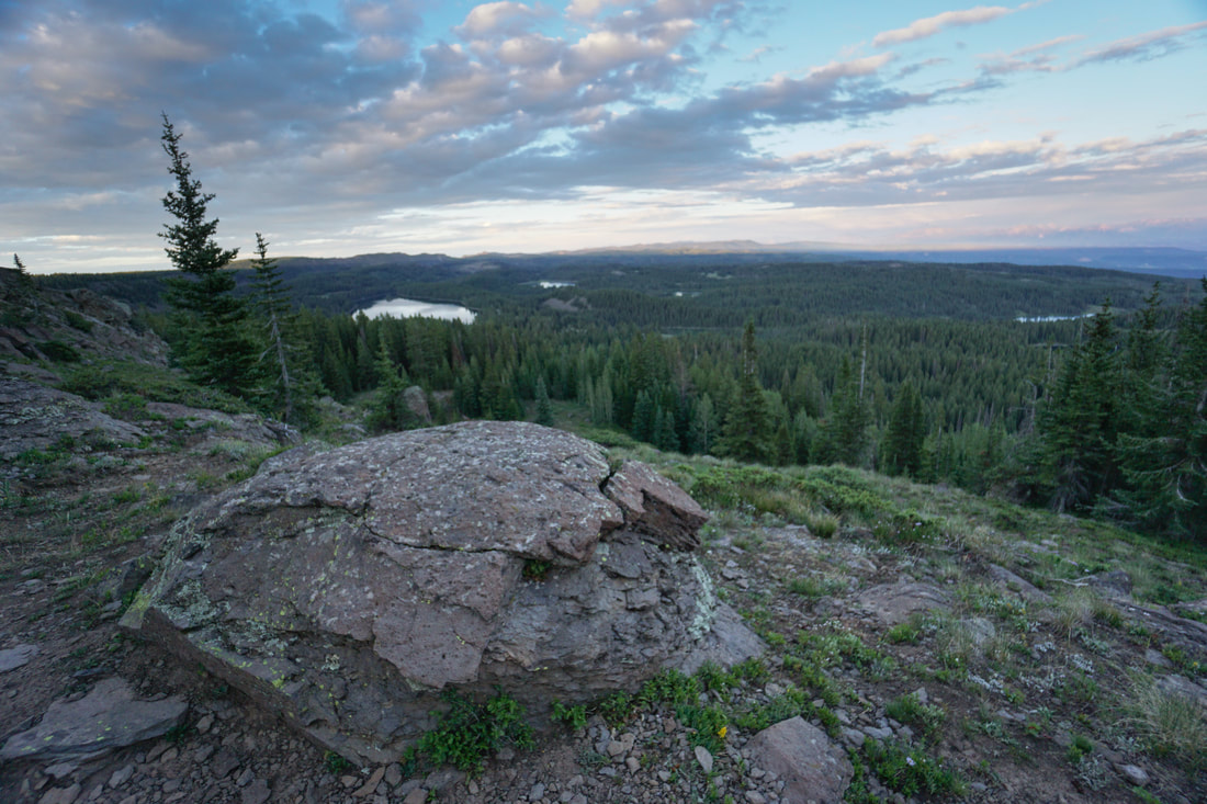
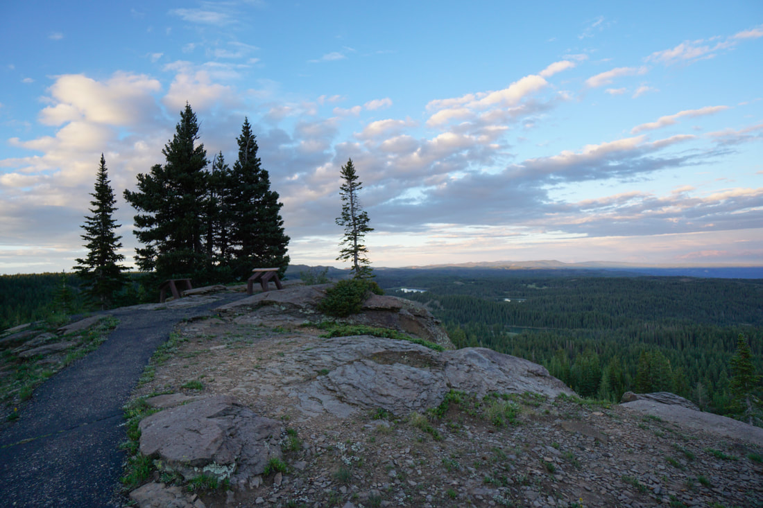
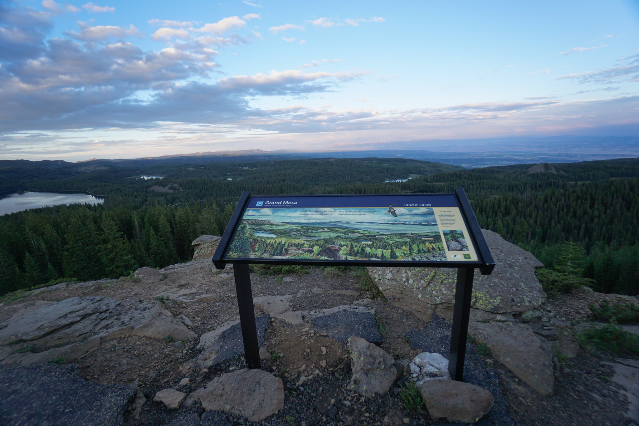
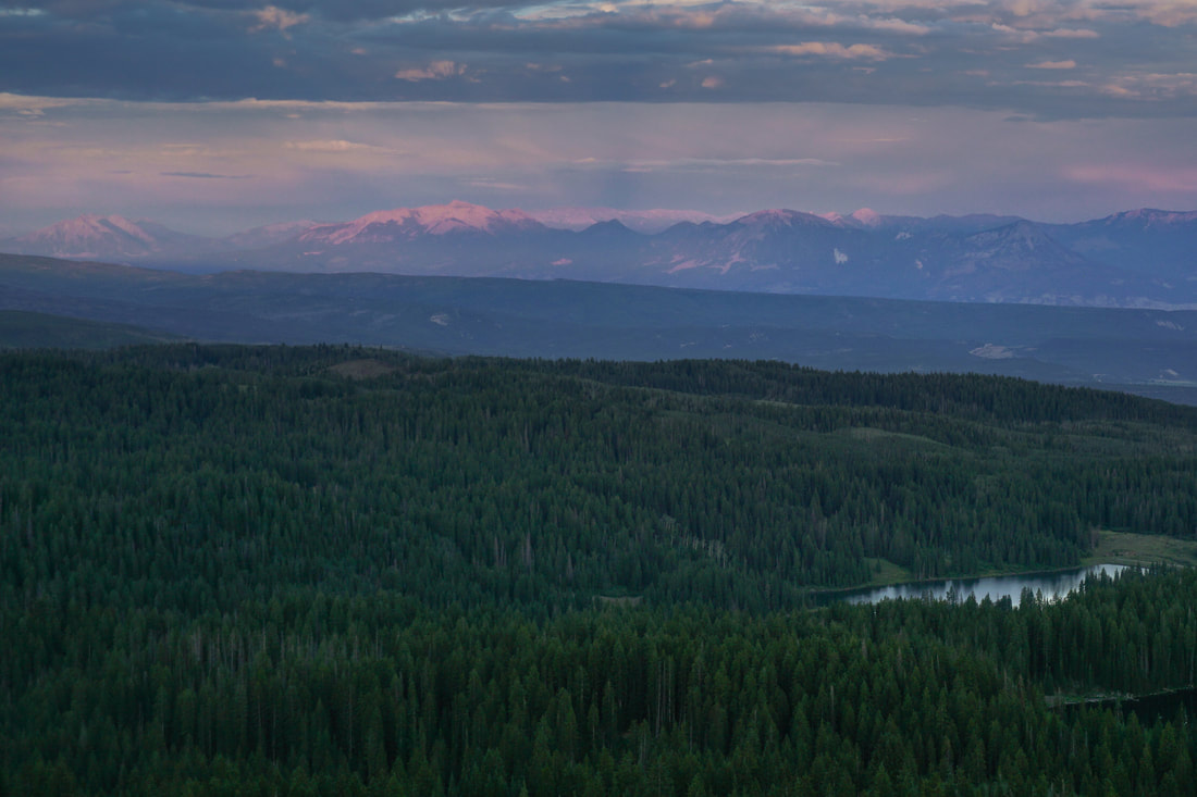
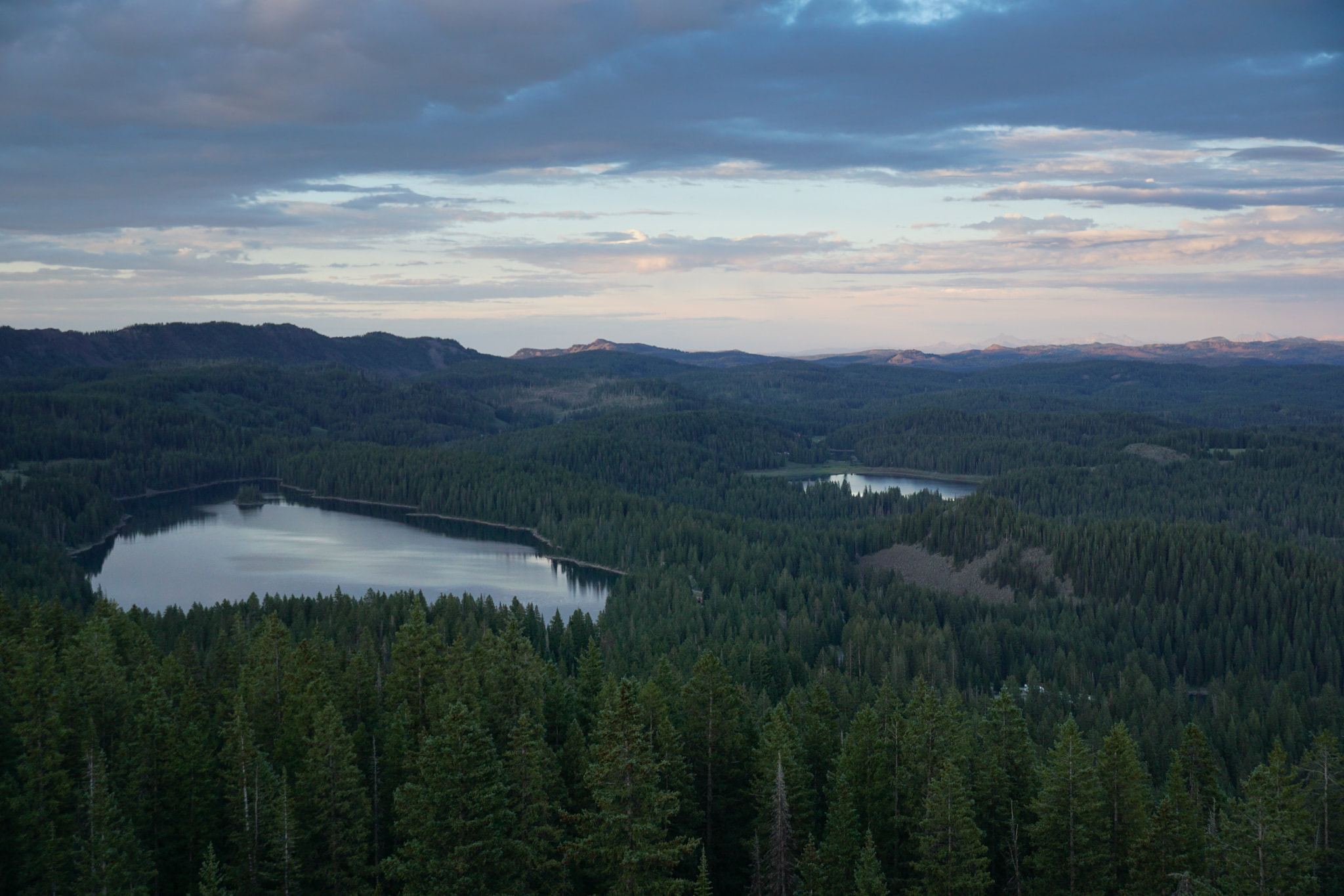
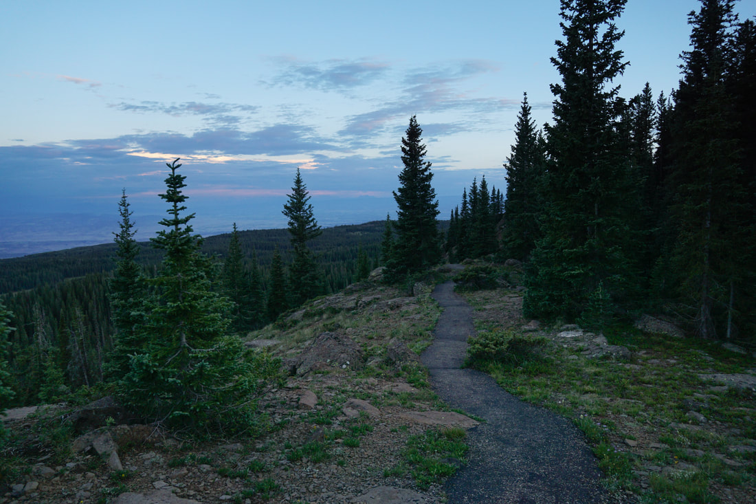
If you do one hike on the Grand Mesa, do the Land of Lakes Trail. The hike is fairly short and easy, the entire trail is paved, and the view from the overlook is absolutely amazing. If you are spending a few days on the Mesa, make this your first hike. From the overlook you get a birds of view of the southeastern side of the mesa and it's a great introduction or overview of the area. An interpretive sign at the top gives you some information and geography to base the rest of your trip on,
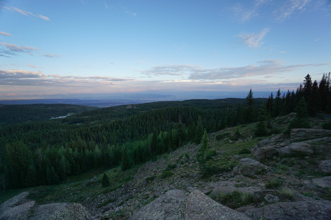
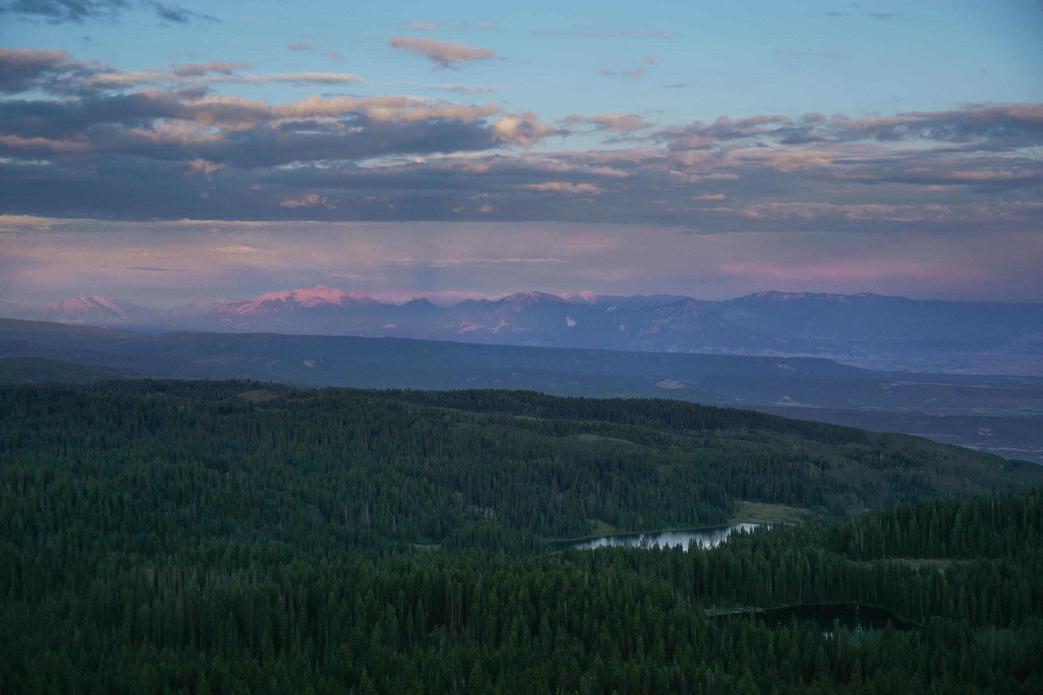
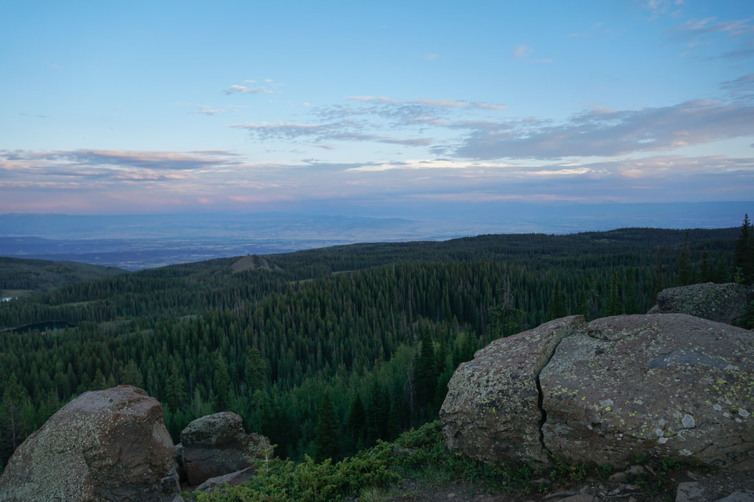
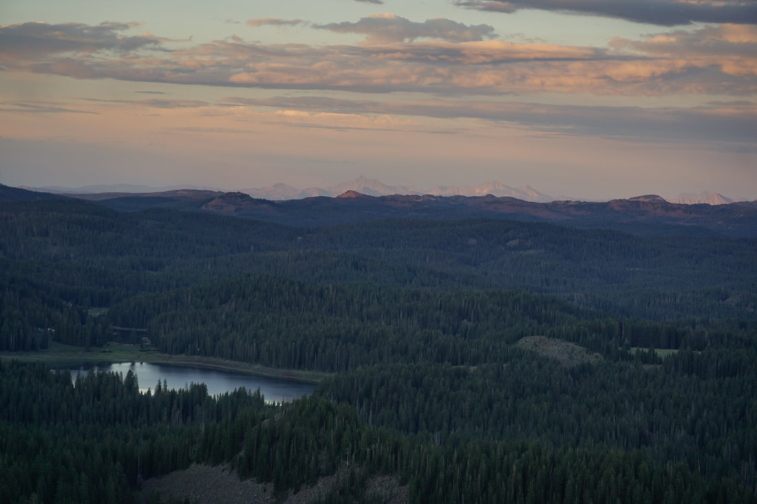
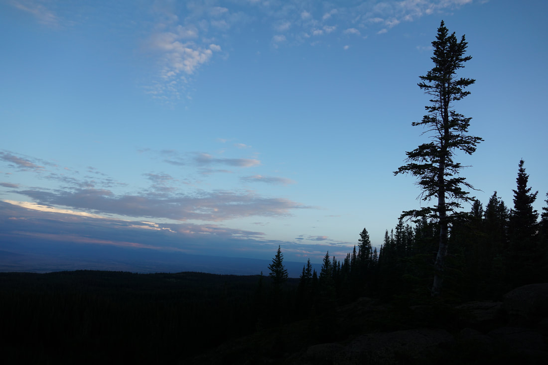
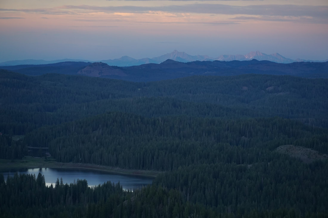
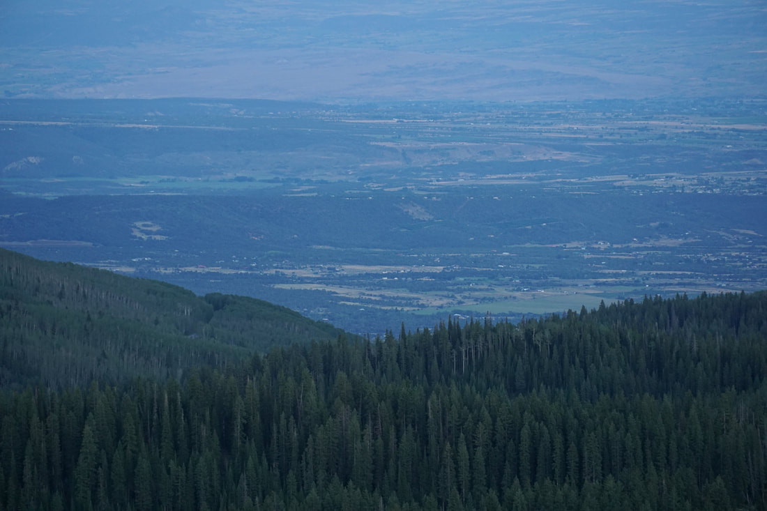
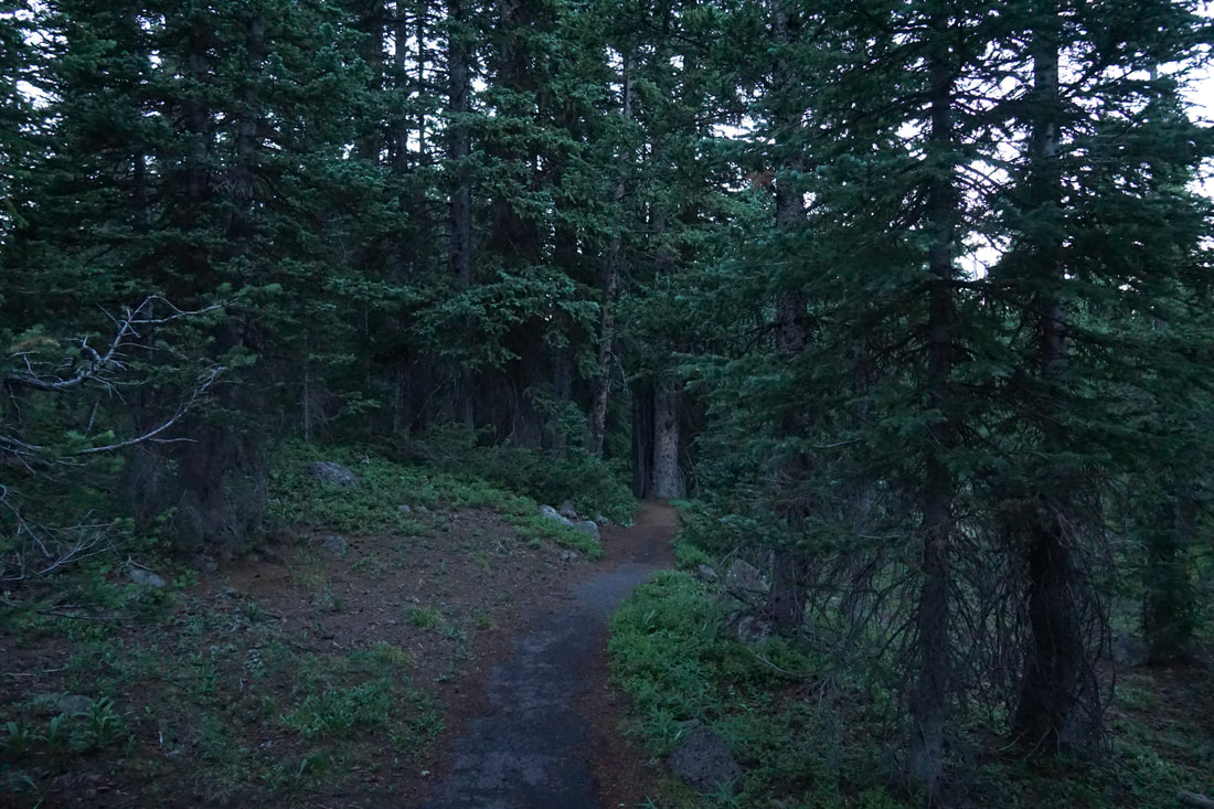
From the large parking area, the trail climbs up through the forest. This is a loop hike so you can go either way but I found that hiking counter-clockwise gives you the most dramatic effect when you break out of the trees and see the view for the first time. Go at sunset and you will not be disappointed. The view looks over the eastern half of the mesa with Island Lake directly below you. In the eastern distance, the Elk Mountains rise up with Capital Peak dead ahead. To the south the West Elks and to the Southwest you can even make out Mt. Sneffels in the San Juan Mountains on a clear day. The really amazing part of the view, however, is the sheer size of this Mesa. Grand Mesa is the largest flat-topped mountain in the world and it becomes clear from this viewpoint. This is a wonderful trail but it does get busy on summer weekends. Visit mid-week and go at sunrise or sunset to avoid the crowds...and the mosquitos... |
|
- HOME
- ABOUT
-
HIKES BY REGION
-
NATIONAL PARK HIKES
- BENT'S OLD FORT NATIONAL HISTORIC SITE
- BLACK CANYON OF THE GUNNISON NATIONAL PARK
- COLORADO NATIONAL MONUMENT
- CURECANTI NATIONAL RECREATION AREA
- DINOSAUR NATIONAL MONUMENT
- FLORISSANT FOSSIL BEDS NATIONAL MONUMENT
- MESA VERDE NATIONAL PARK
- ROCKY MOUNTAIN NATIONAL PARK
- GREAT SAND DUNES NATIONAL PARK
- HOVENWEEP NATIONAL MONUMENT
- SAND CREEK MASSACRE NATIONAL HISTORIC SITE
- YUCCA HOUSE NATIONAL MONUMENT
- HIKES BY CATEGORY
- NEWS
- WEBCAMS
- $UPPORT GHC
- INTERACTIVE MAP
Land of Lakes Trail
Grand Mesa National Forest
Date Hiked: July 16, 2020
Distance: .5 mi (RT);
Elevation Gain: 100 ft:
Elevation Min/Max: 10,741.5 ft, 10,823.5 ft
Trailhead Lat/Long: 39.02884, -108.02152
Managing Agency: U.S. Forest Service
Fee: None