|
|
|
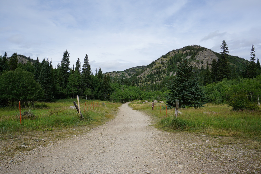
Directions: From Boulder, head west on 119 through Boulder Canyon to Nederland. From Nederland head south on 72 and turn right (west) when you see the sign for Eldora. This road is route 130 and has various names; Eldora Ave and Eldorado Ave. Head west past the Nederland High School, the turn off for the Eldora Ski Resort, and through the small town of Eldora. When the road becomes a good dirt road, you're almost there...when you see cars parked on the side of the road, you are there. The Hessie Trailhead is just ahead, .5 mi down the road that you can't drive on. Park here and walk to the actual trailhead.
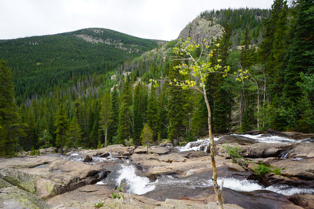
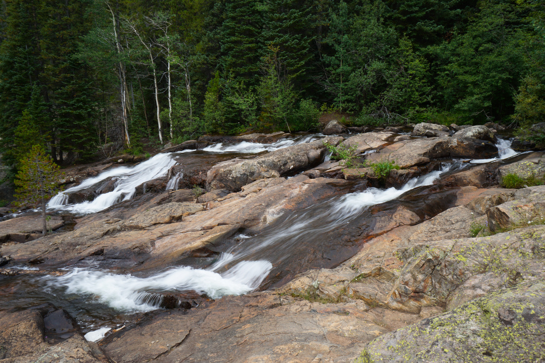
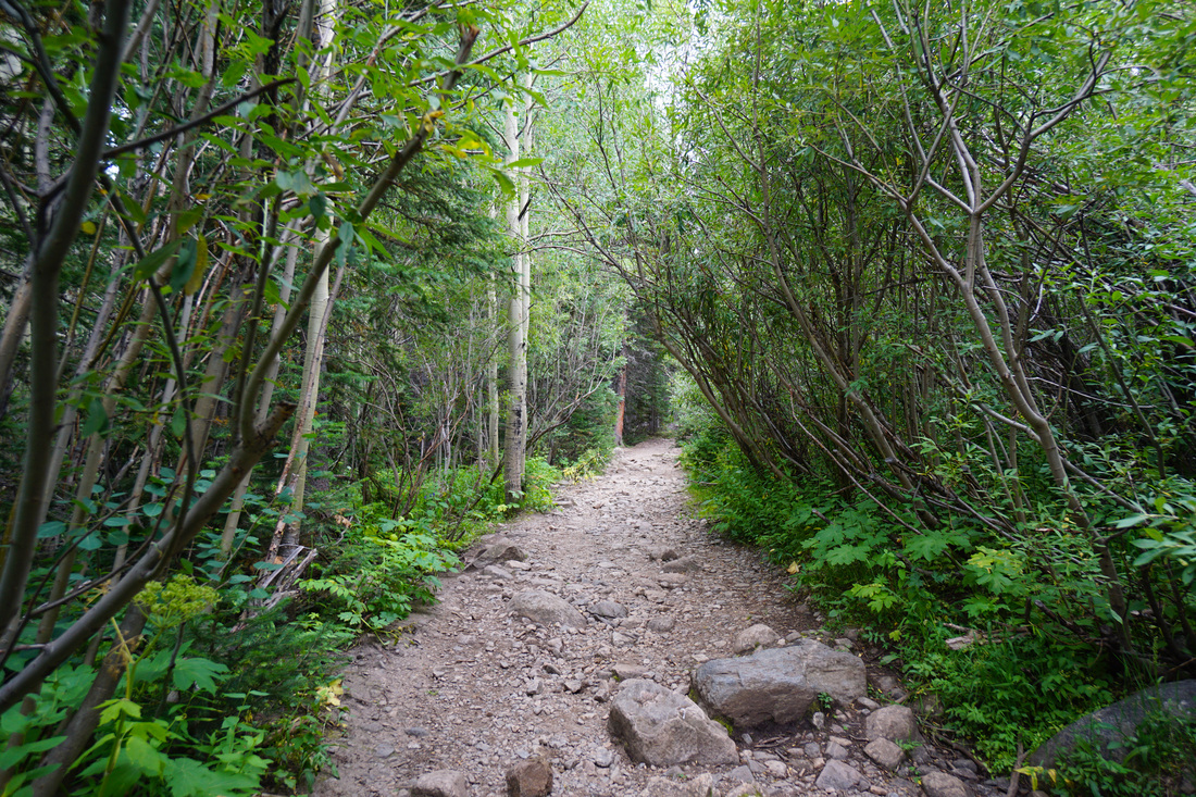
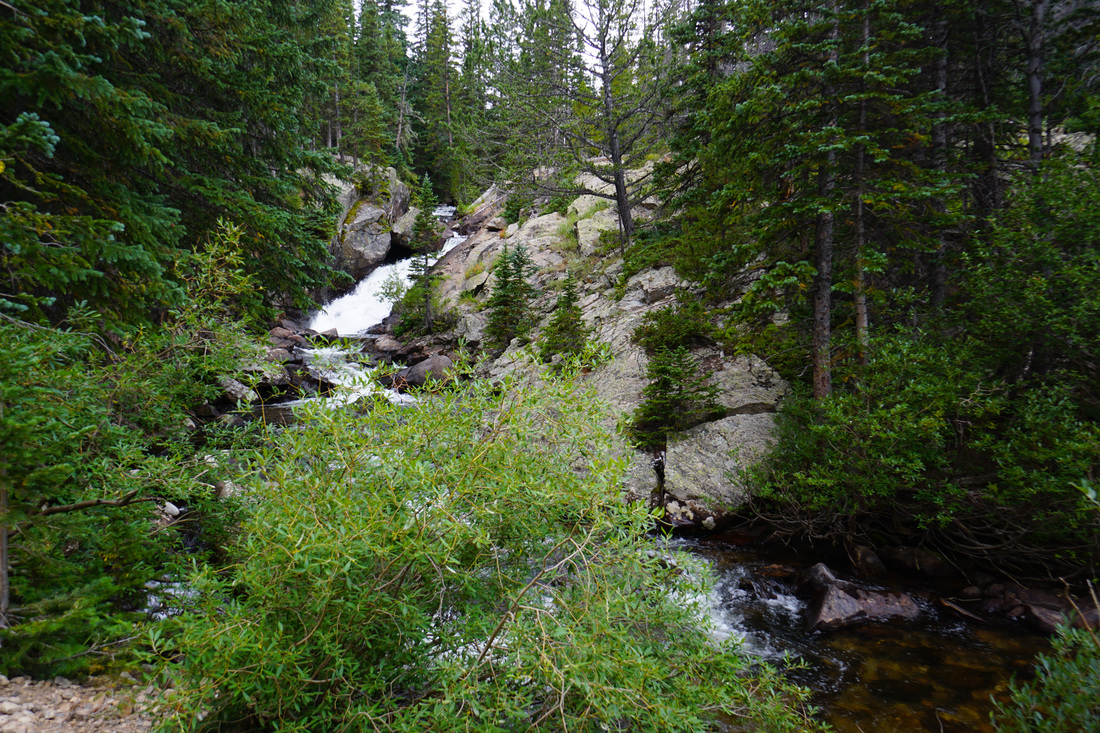
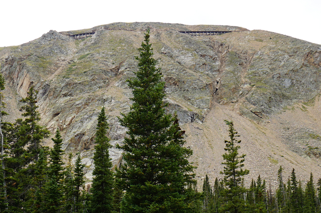
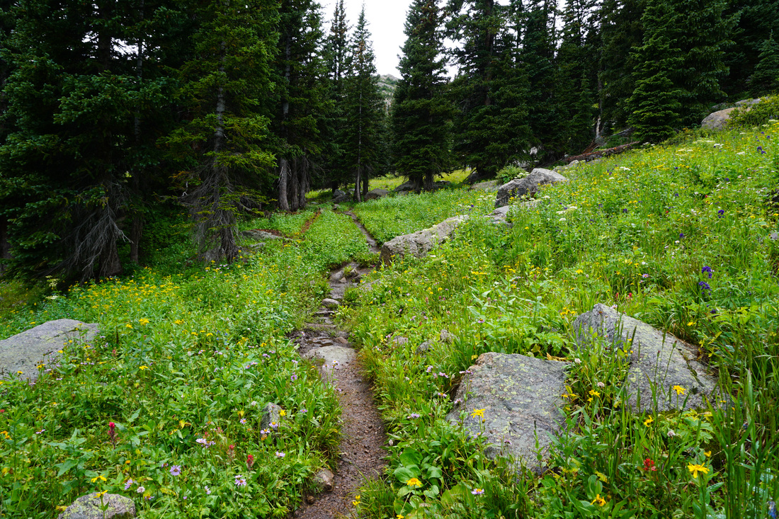
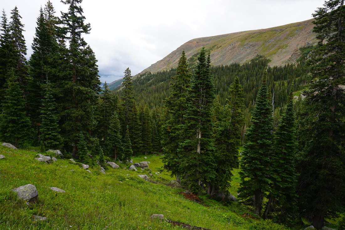
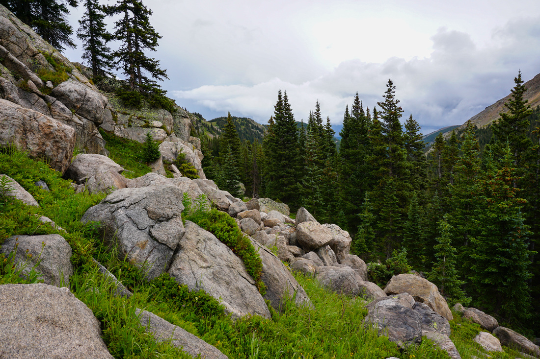
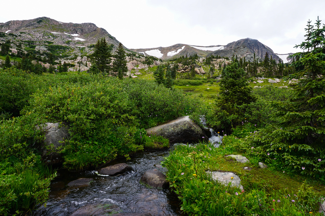
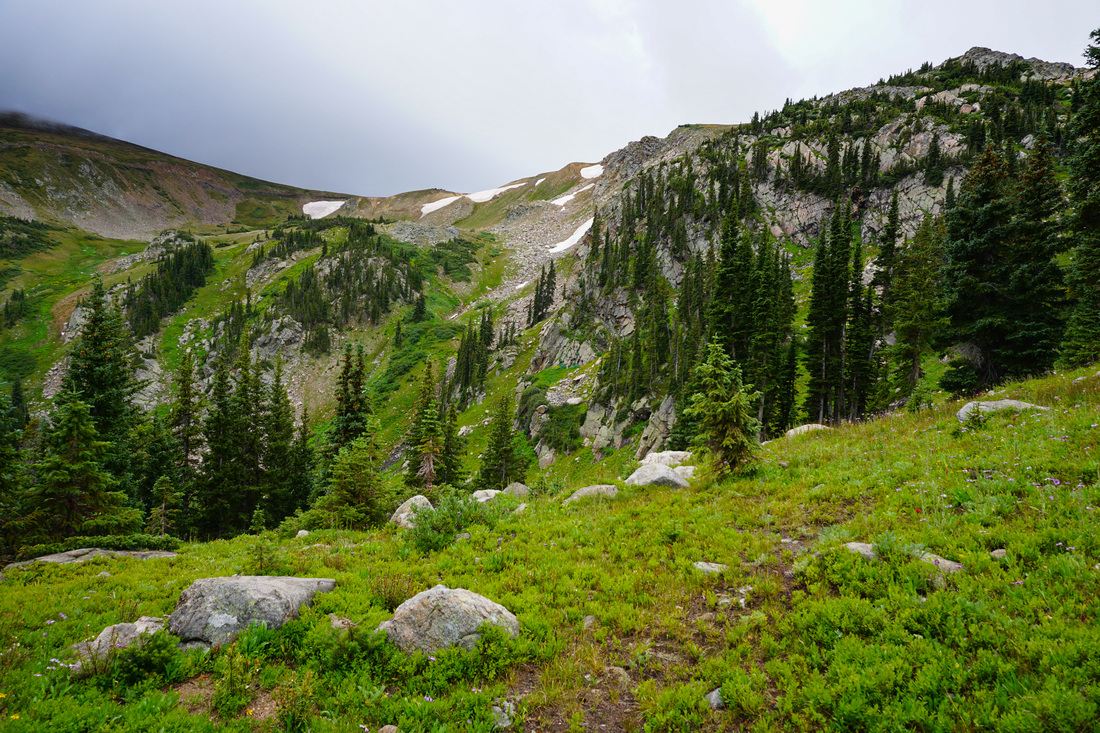
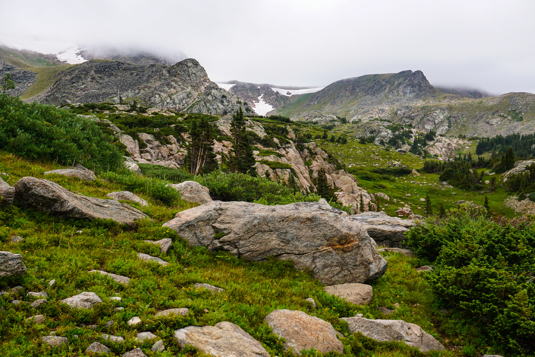
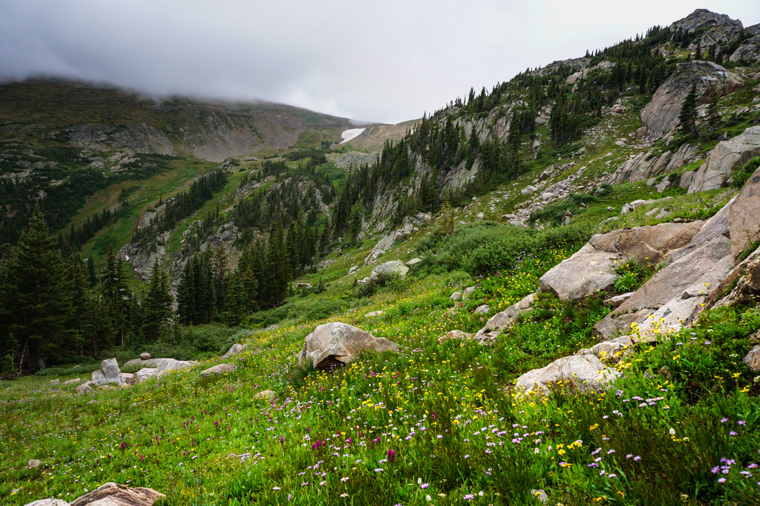
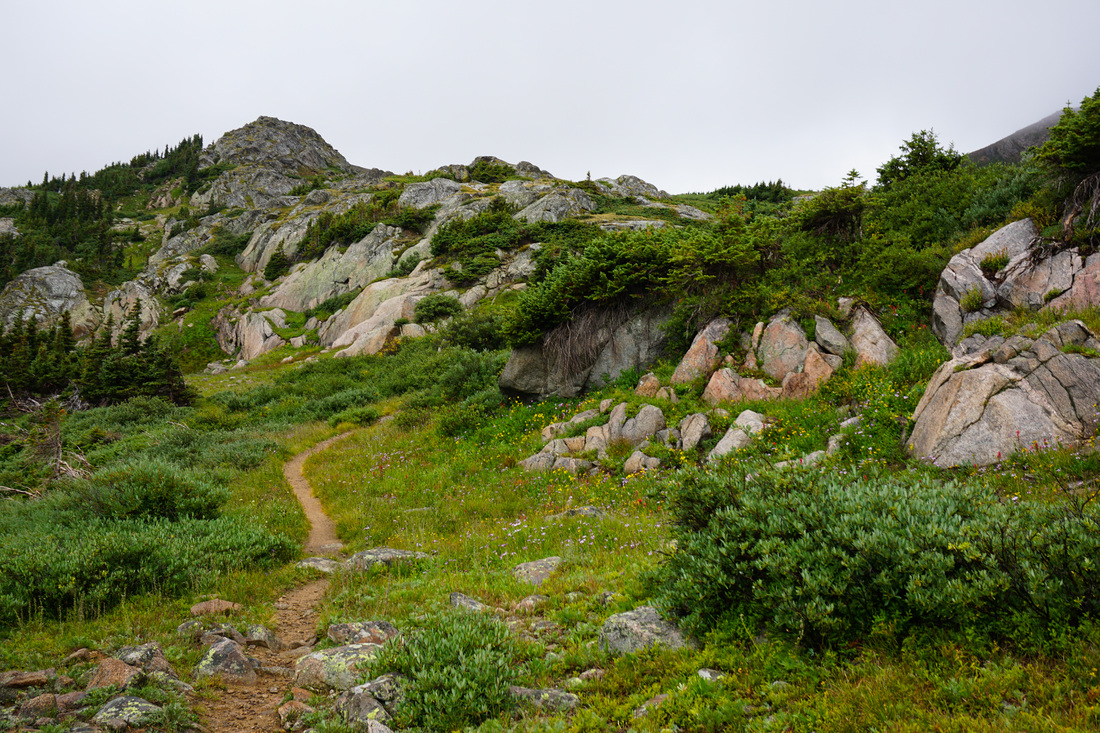
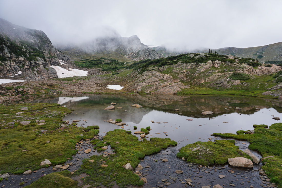
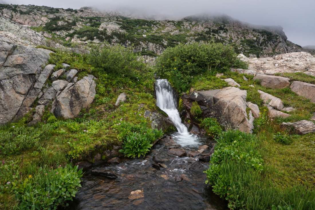
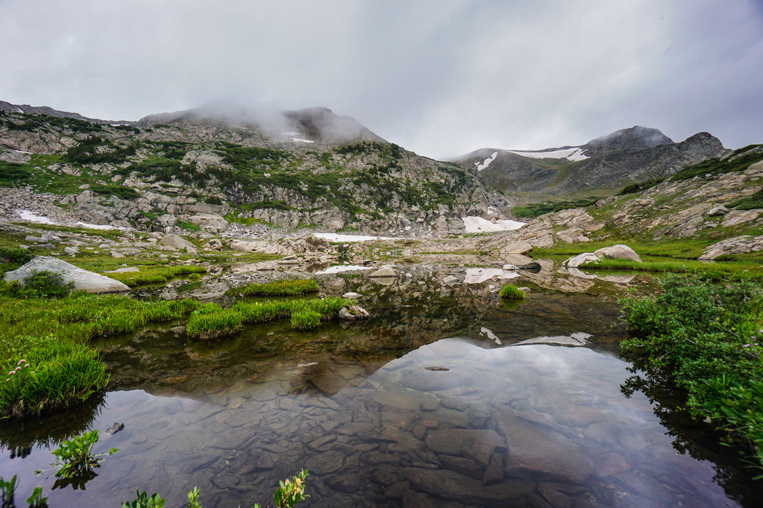
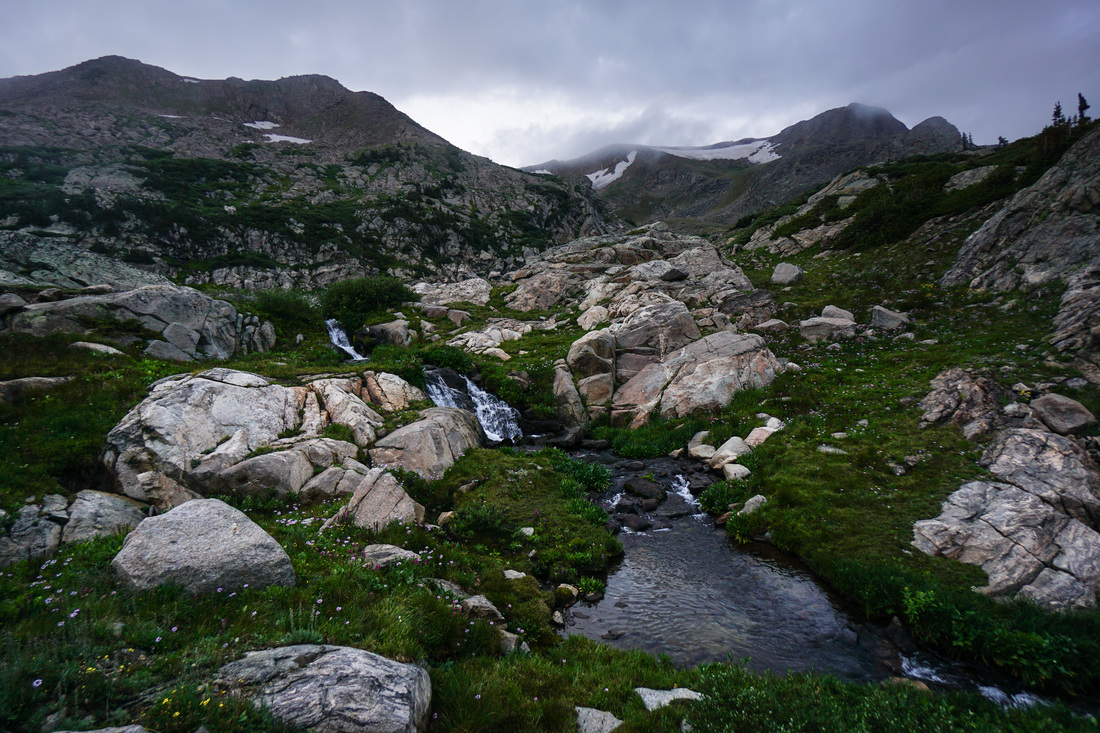
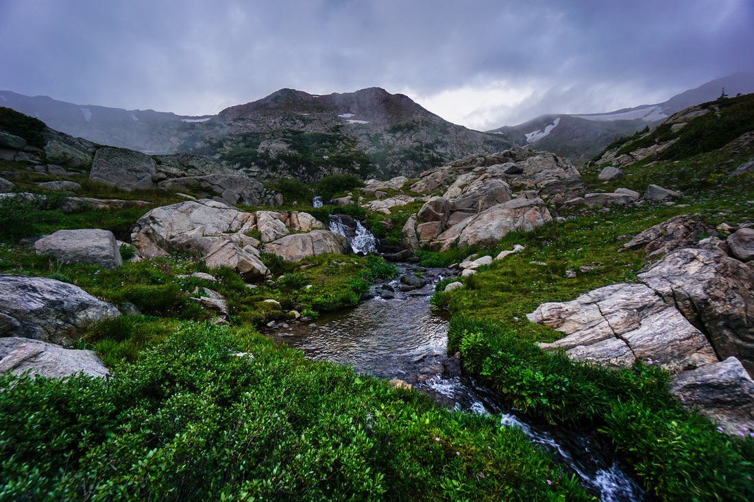
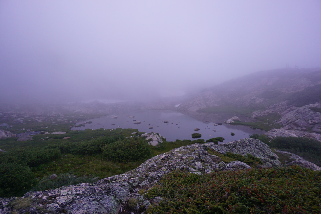
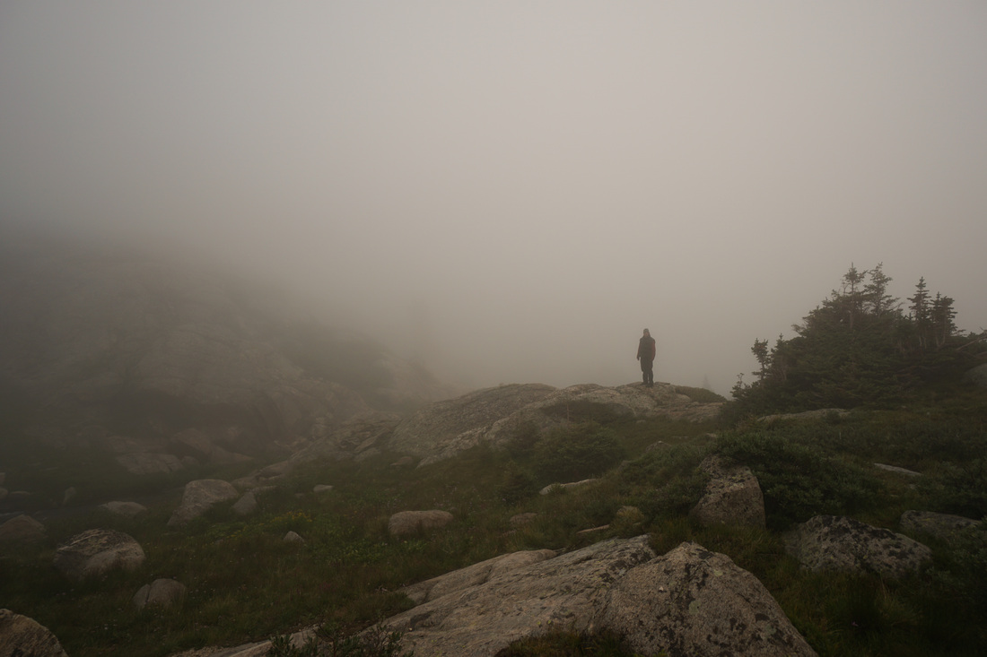
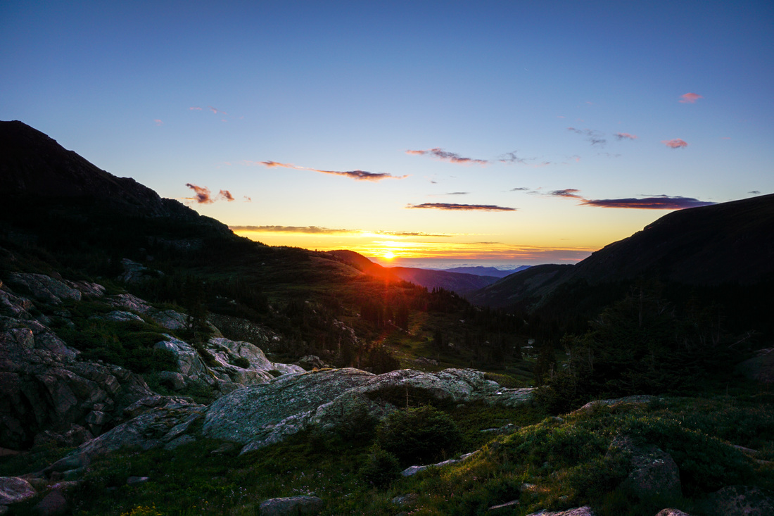
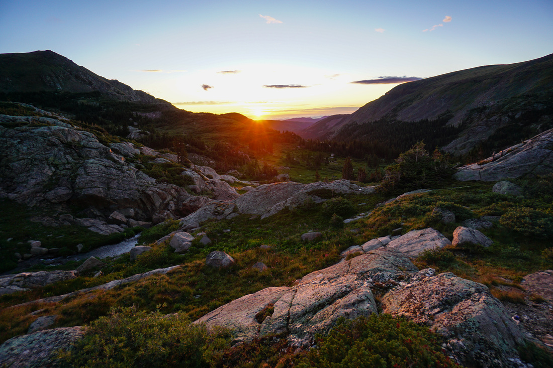
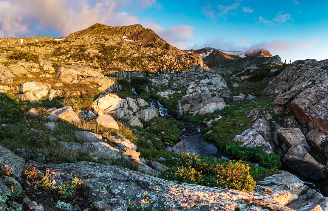
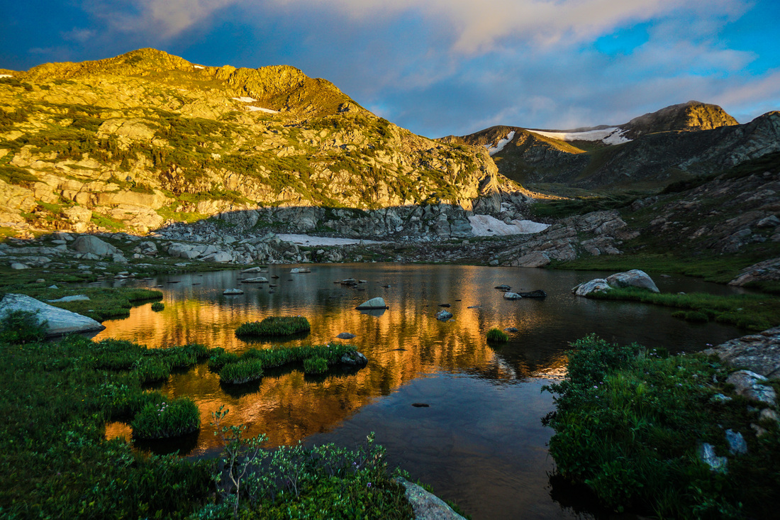
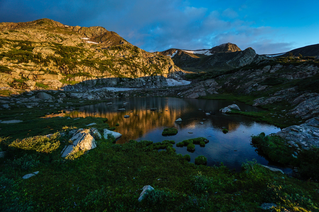
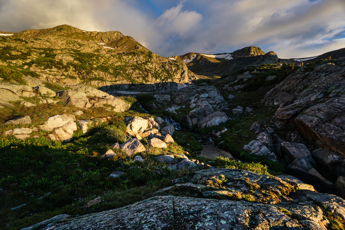
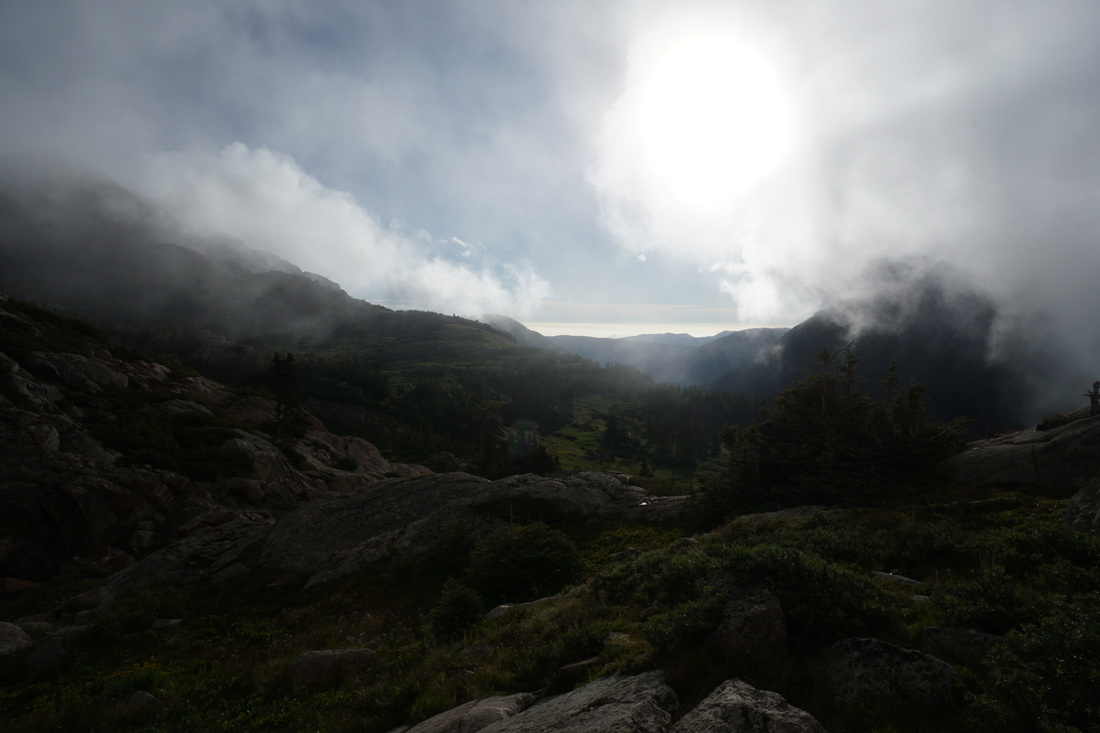
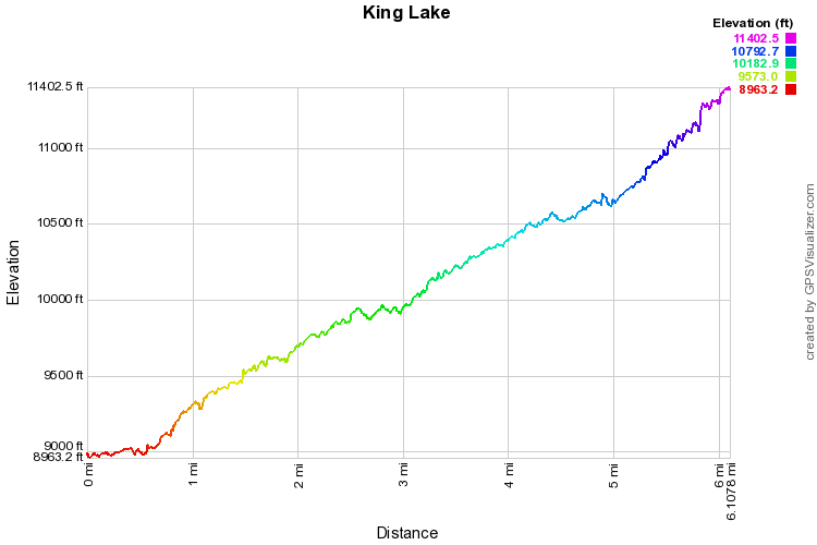
The hike up to King Lake is beautiful, even with the weather being grey, rainy, and brooding, the trail is pleasant and the destination provides top-notch alpine scenery. The signs say 5 miles to King Lake from the trailhead, but considering that you need to walk .5 miles from the turnoff to the trailhead (as the road is flooded and there is a large creek crossing) the actual hike is more like 6 miles. The trail roughly follows the South Fork of Middle Boulder Creek all the way up the drainage. You'll pass through pine and aspen forest on good trail with plenty of cascades, waterfalls, and wildflowers to keep the approach interesting. Once you begin to near treeline and the final push up to King Lake keep your eyes peeled to the slopes across the valley to the South. You just may catch a glimpse of a historic railroad trestle and an old car pinned down in the boulders. This is the historic railroad that once carried passengers across the divide at Rollins Pass (then known as Corona Pass) to the Winter Park area. The approach to King Lake will switchback up and up with great views back down valley until you are deposited onto a flat area with multiple creek crossings. Continue to follow the trail up towards the Divide. When you reach a fork in the trail, head left towards King Lake. However, you should first go right and take the spur trail down to a wonderful unnamed pond with great peaks looming overhead and a series of waterfalls and cascades cutting through the rock. Explore this area as it has much to offer. When you are back to the King Lake Trail, continue up through the scrub. Take an unofficial, but obvious, spur to the right to reach the open shore of King Lake...I think it is a pretty lake...without the clouds... If you wish to continue your trek, it's just a short distance up to the Continental Divide Trail with many hiking options to choose from. King Lake makes for a worth day hike destination but it also is great as a camping spot for a longer backpacking trip. Either way, this is true Indian Peaks Wilderness. |
|