|
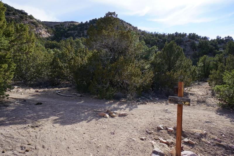
Directions: From Hwy 50 in Cañon City, go north on 15th Street, through town, and turn right on South Street, then a quick left on Red Canyon Road. Continue on Red Canyon Road until it becomes County Road 9. Follow County Road 9 for 3.7 miles to the turnoff for Oil Well Flats. Here the road becomes dirt with some steep narrow sections, reset your odometer. After about 1,000 ft on the dirt road you'll come to the first parking area. Continue past for another 1,000 ft to the upper trailhead. If the gate is open (not muddy conditions), then continue past the upper trailhead for 4/10ths of a mile and turn right. After half a mile of narrow dirt road you'll reach a three way intersection. Turn left and follow the road for 1,000 feet to some large boulders. A short road to the left leads to a campsite and the Fire Canyon Trailhead. Park at the boulders or at the trailhead if you can. You have arrived!
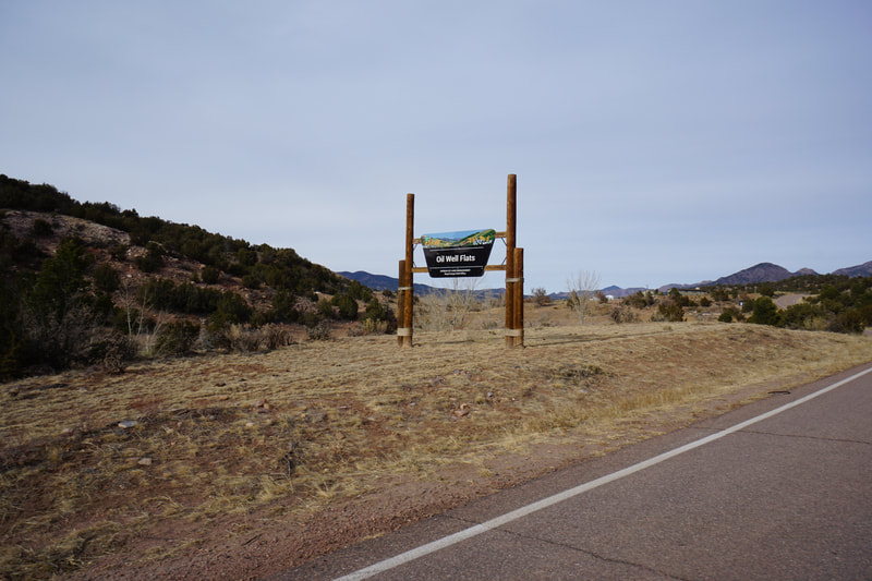
North of Cañon City at the southern tip of the Front Range is the wonderful Fourmile Creek Valley. This area is often overlooked by hikers. That being said the area is popular with rock climbers, campers, ORV enthusiasts, and mountain bikers. The area along Fourmile Creek has terrain very similar to the Colorado Plateau with rugged red rock canyons and formations, flat mesas and buttes, and a dry climate. The Oil Well Flats Recreation is one of these areas and in the winter, it's the perfect place for long dry trails and wonderful views.
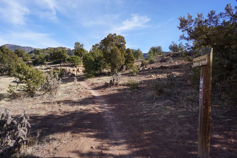
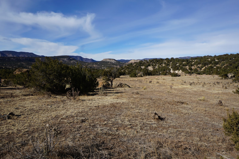
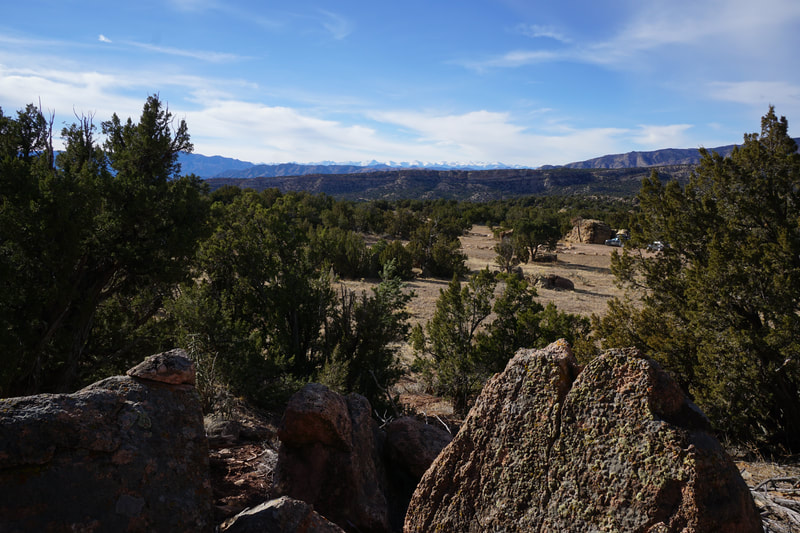
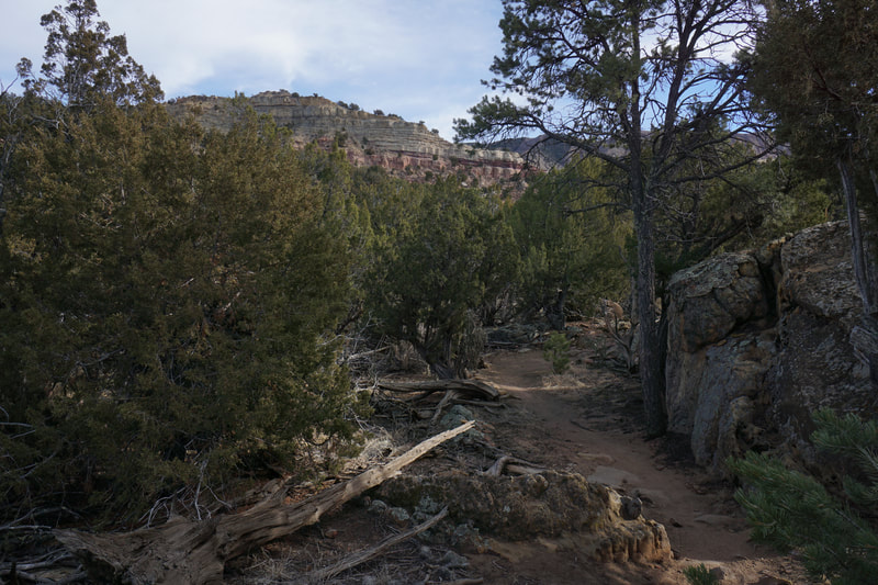
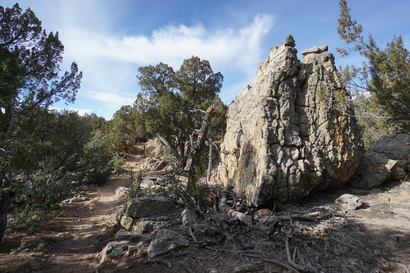
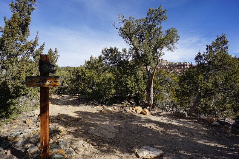
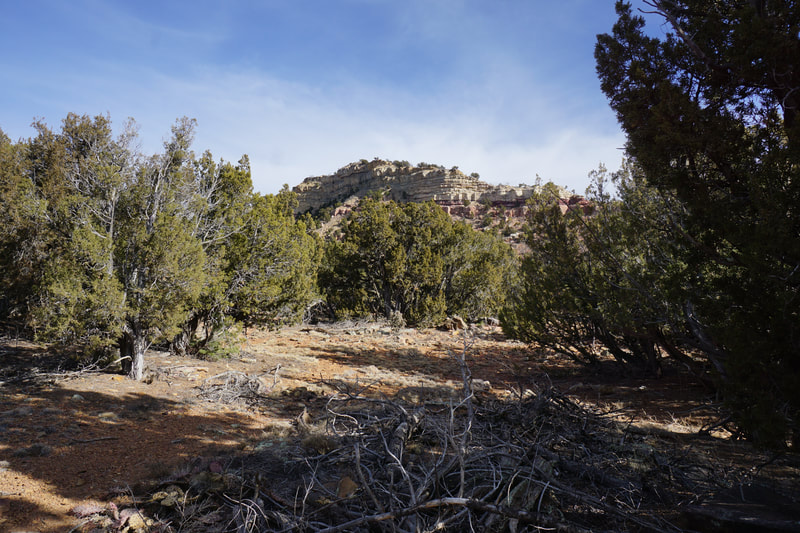
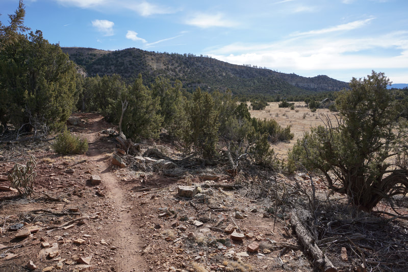
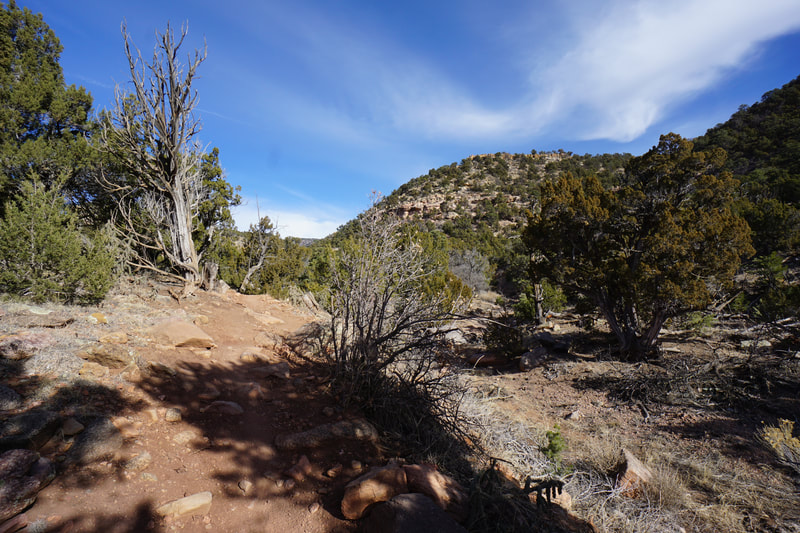
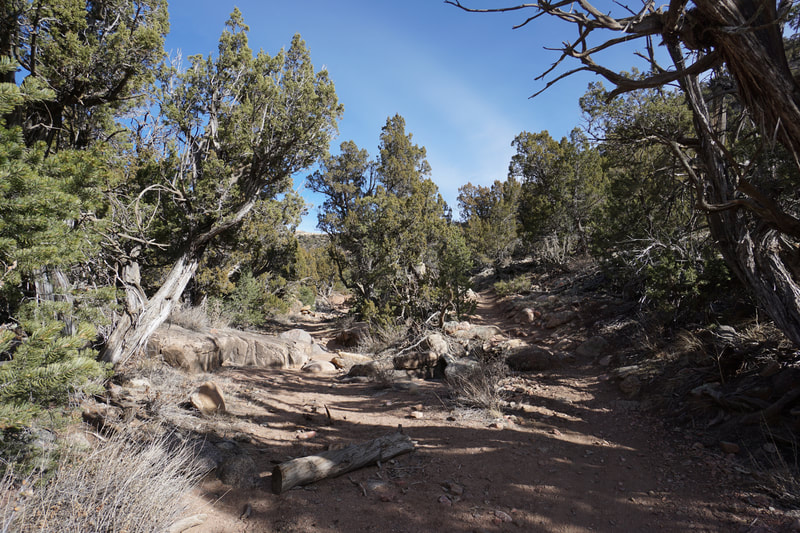
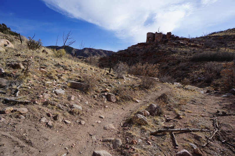
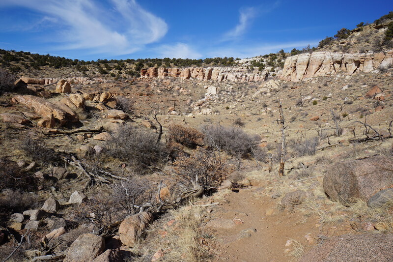
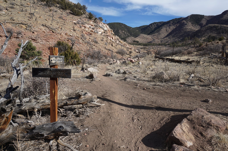
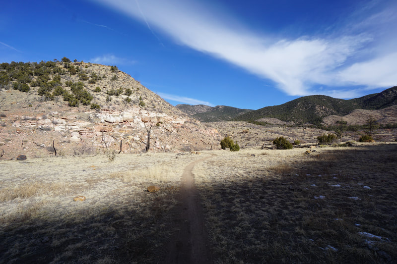
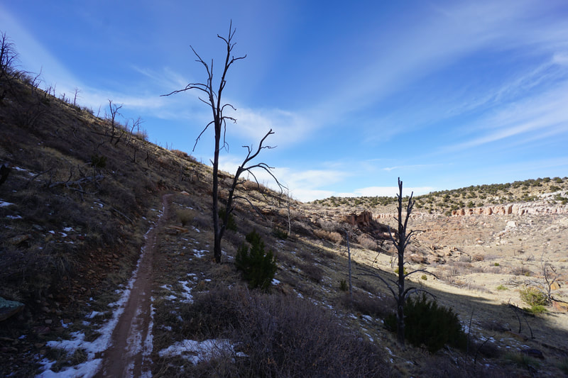
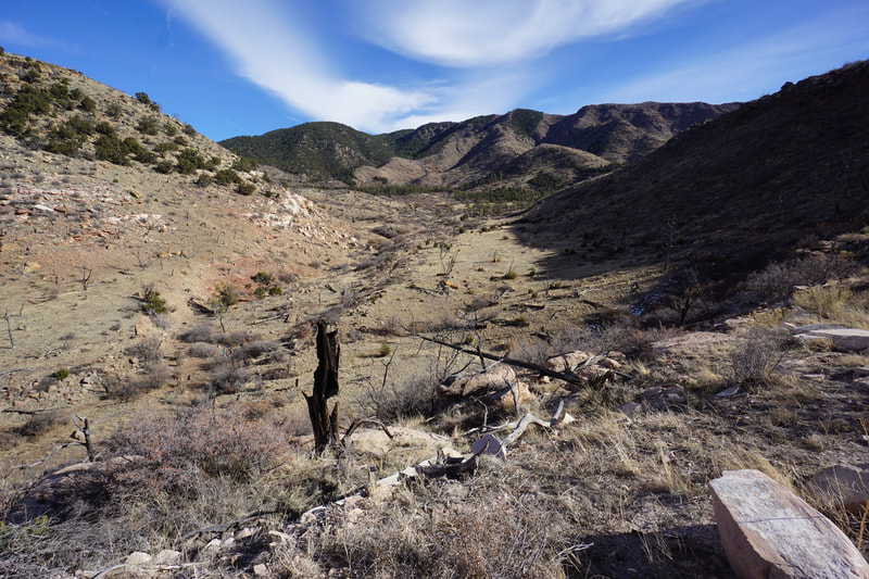
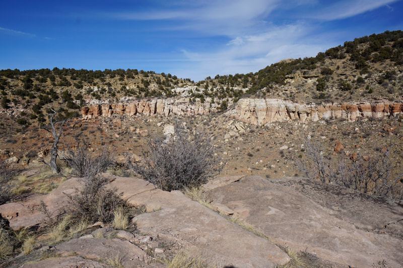
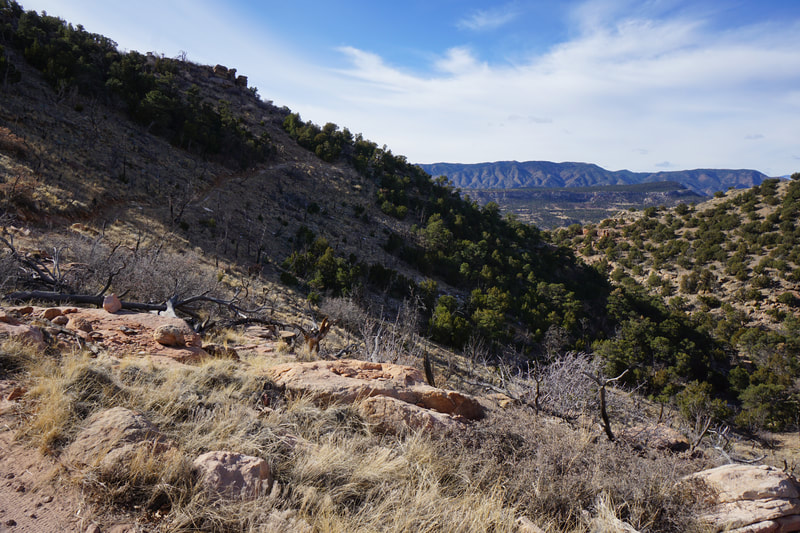
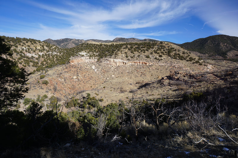
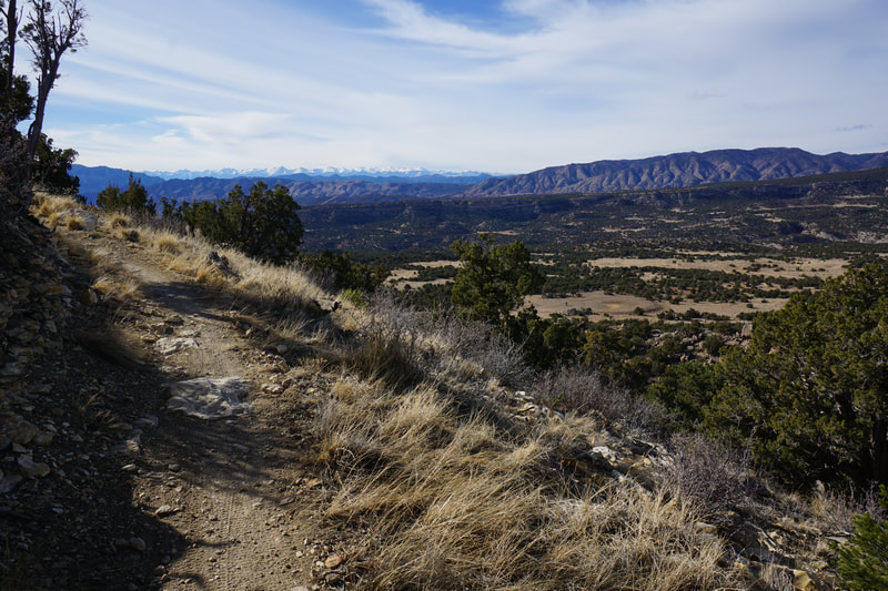
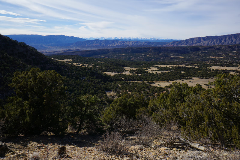
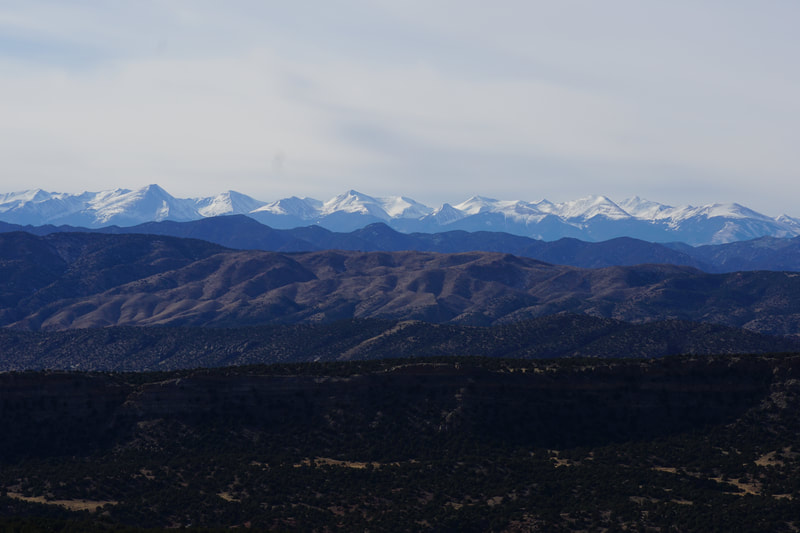
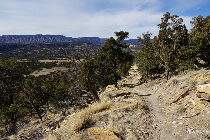
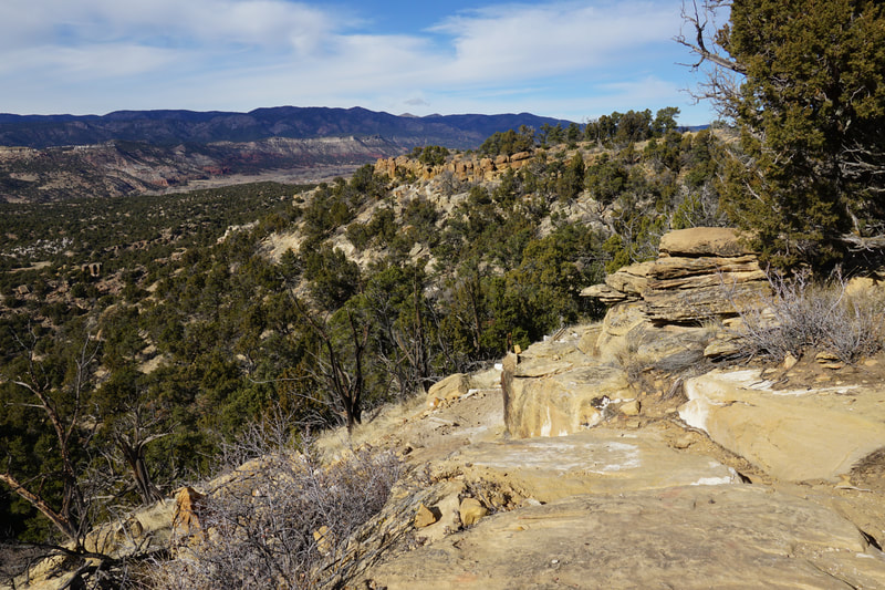
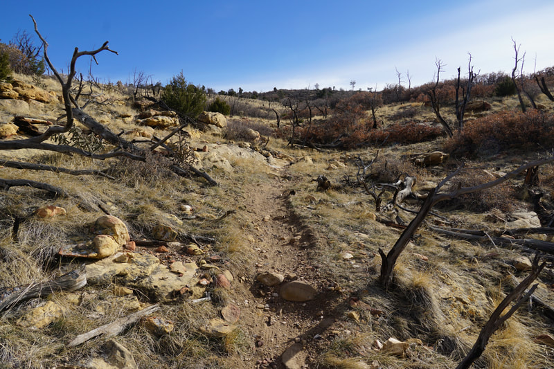
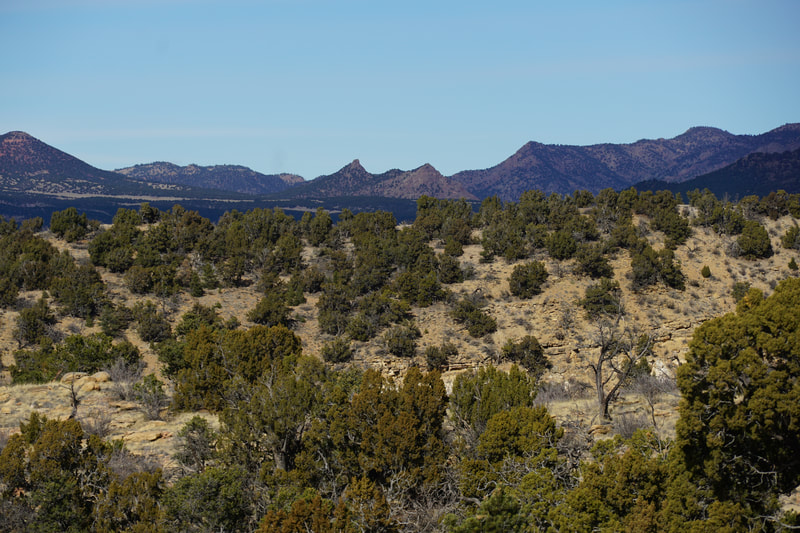
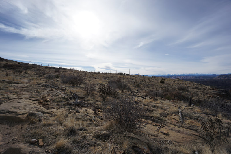
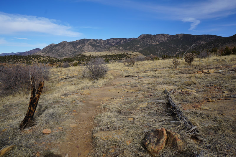
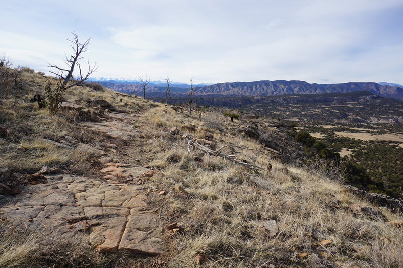
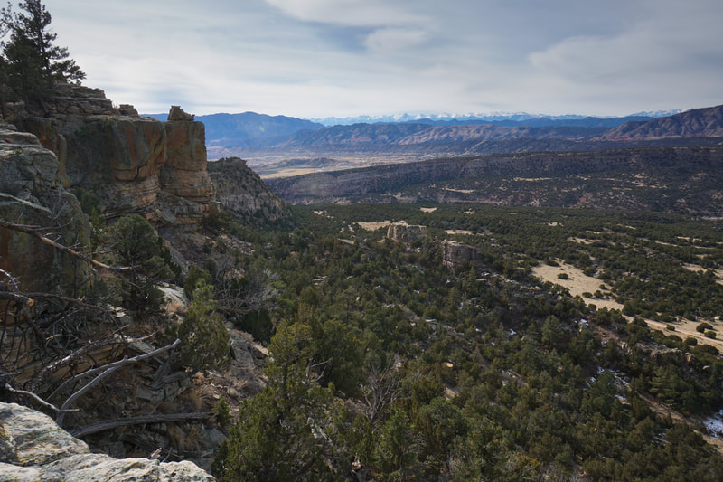
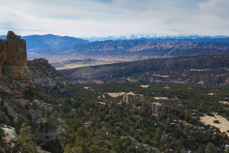
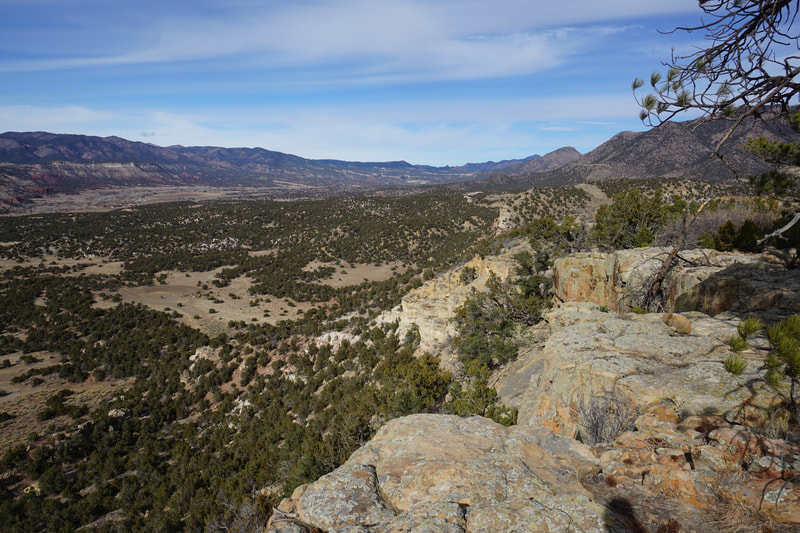
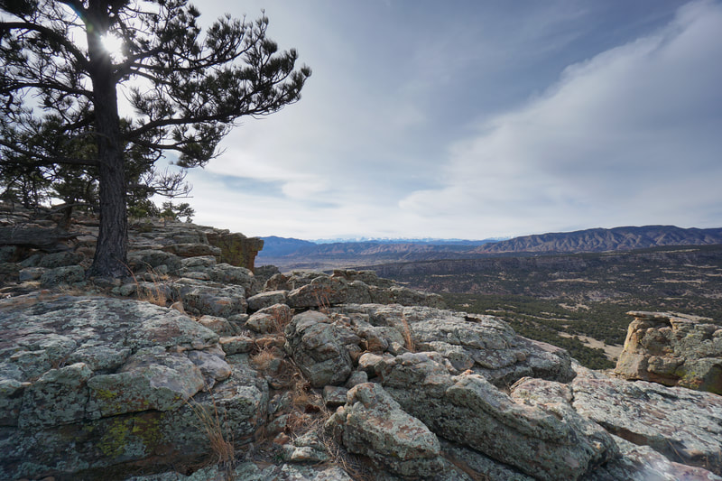
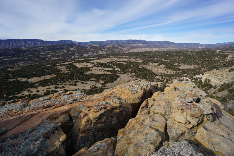
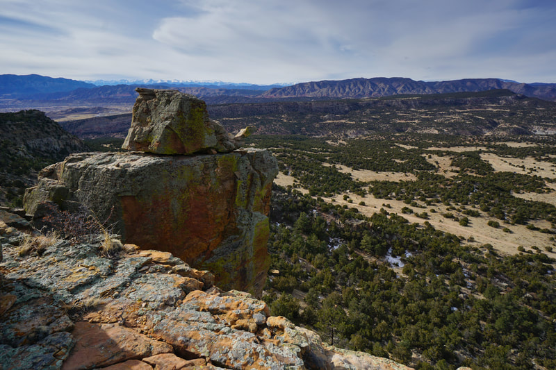
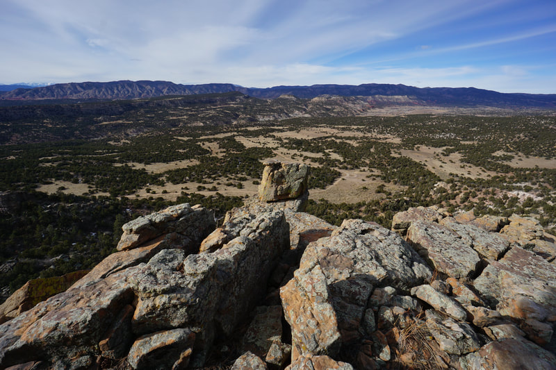
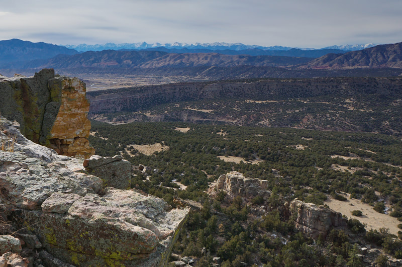
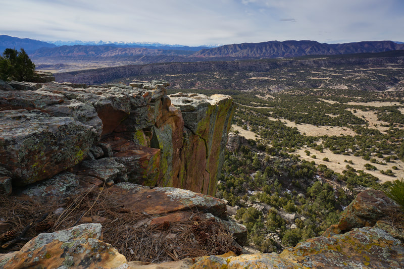
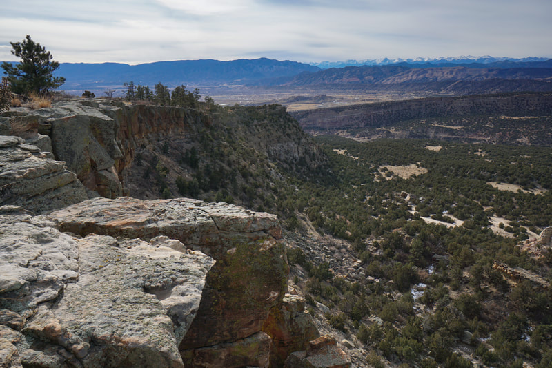
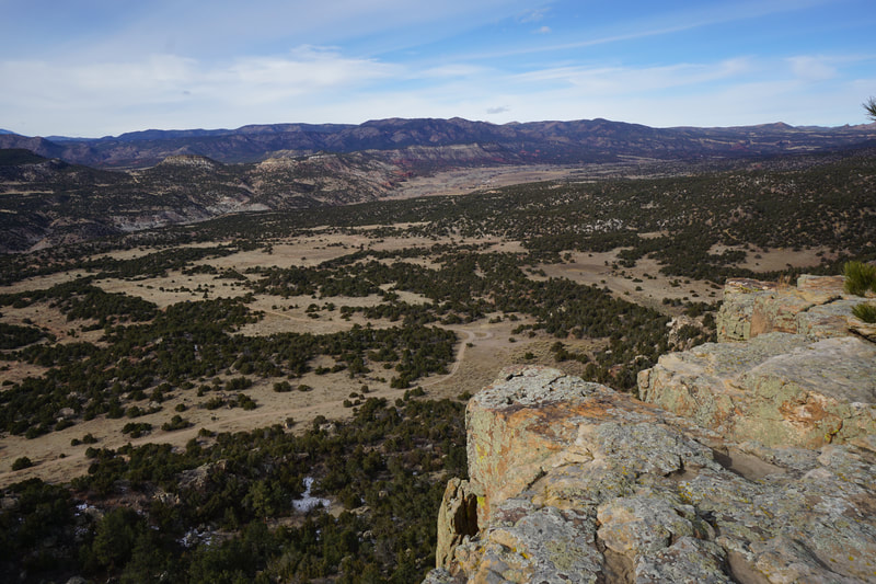
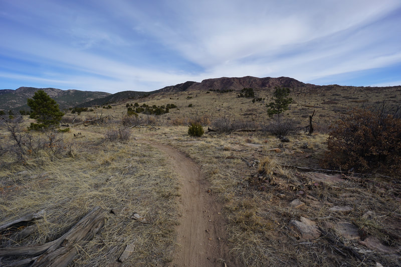
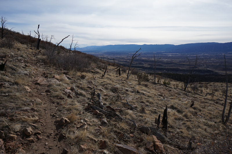
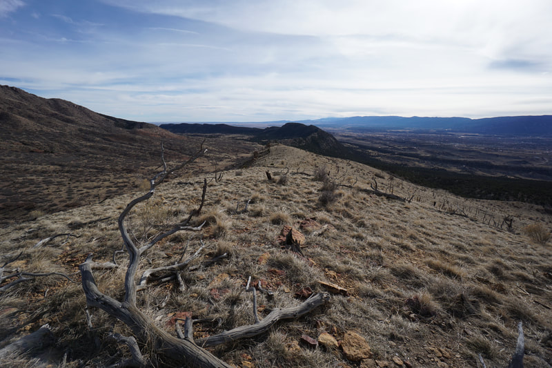
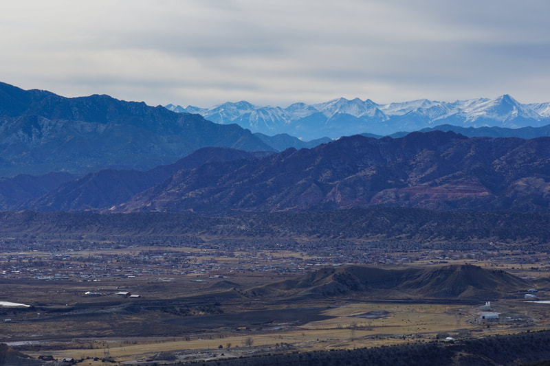
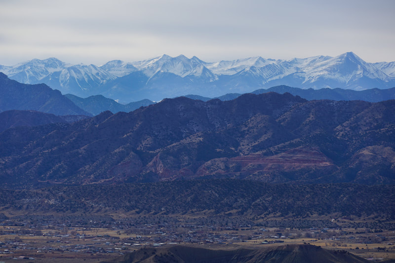
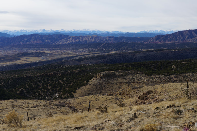
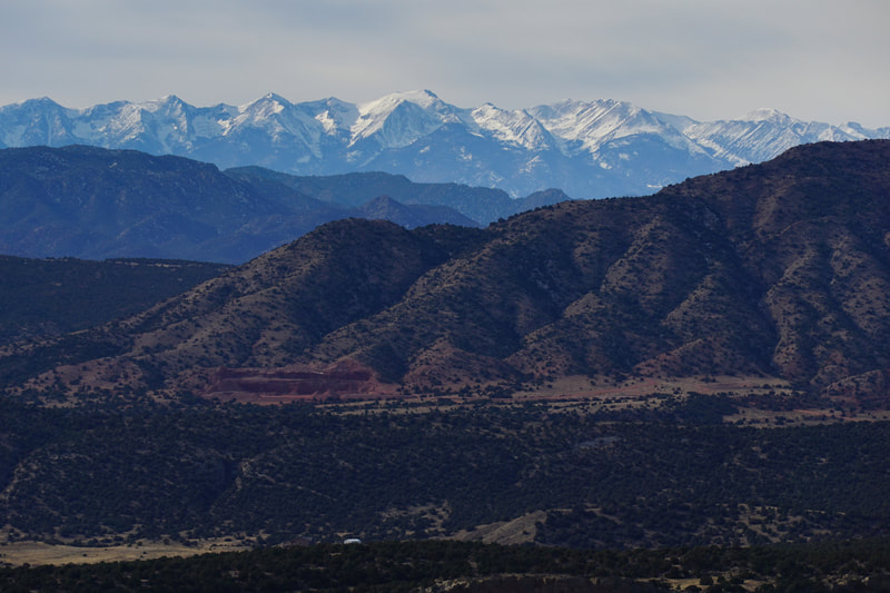
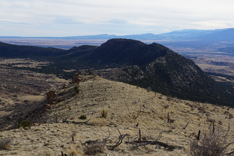
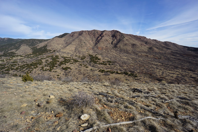
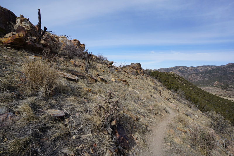
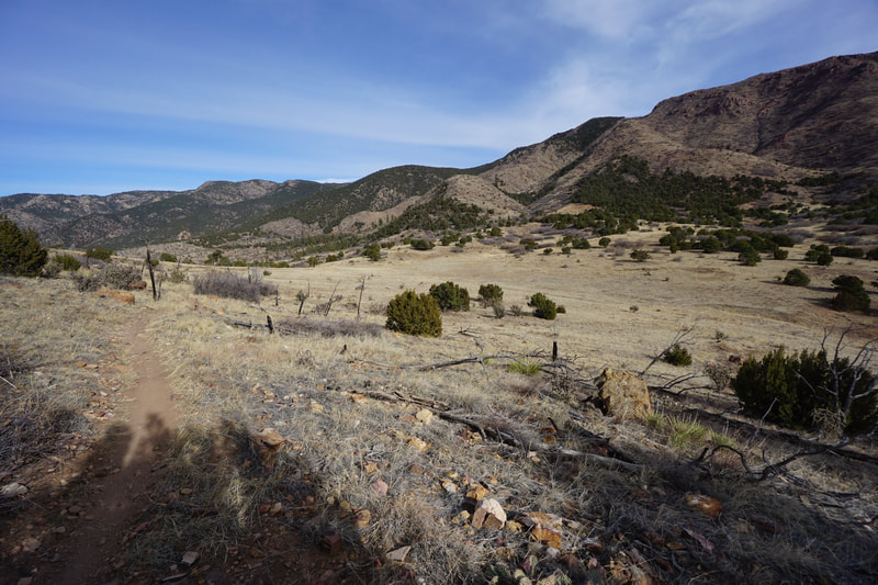
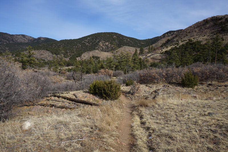
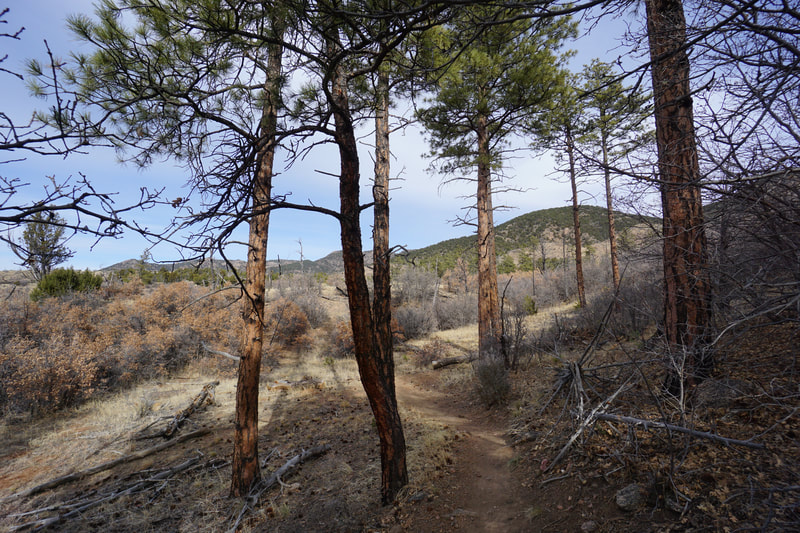
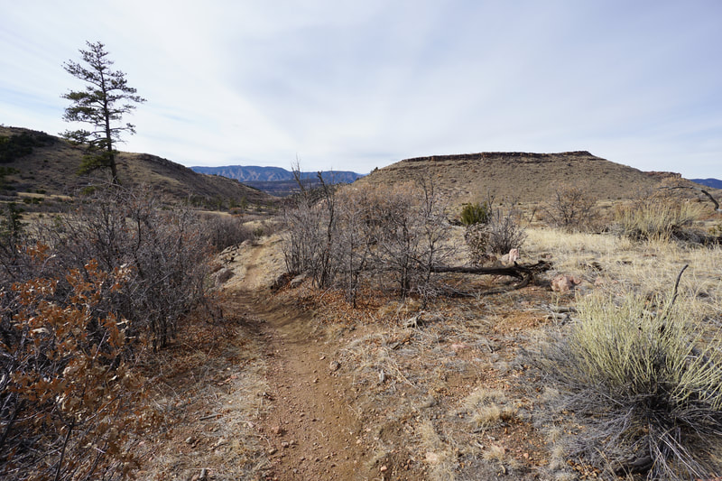
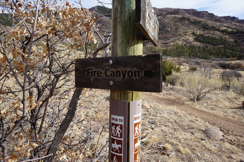
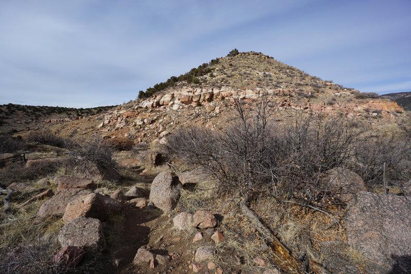
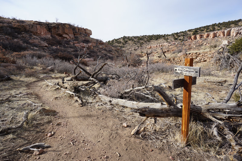
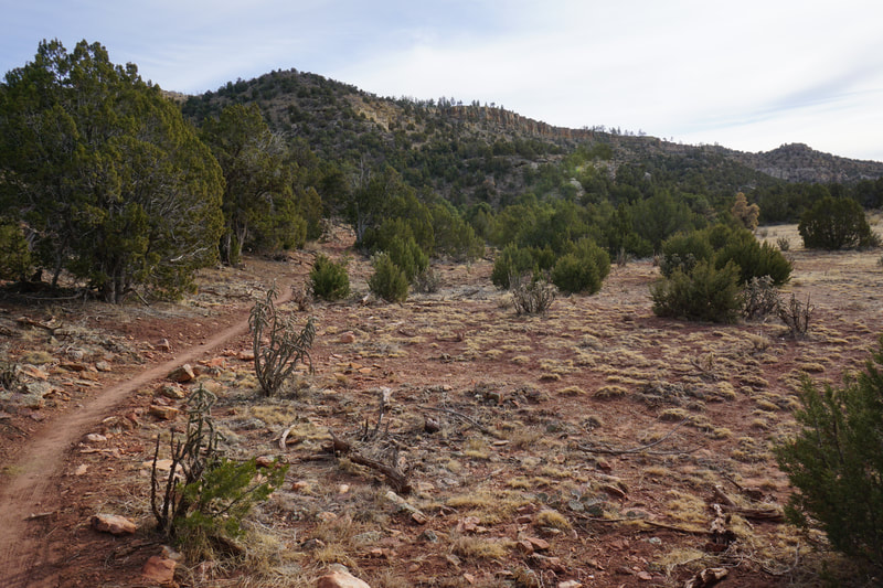
Oil Well Flats has various access points and a large trail system. The real prize in the area is the Island of the Sky Loop. There are four main traiheads in Oil Well Flats and depending on the road conditions (and your vehicle) you have various options for length and hike difficulty. This hike description starts at the Fire Canyon Trailhead, the hardest to get to but the closest trailhead to the loop. From the trailhead, the route is easy enough to follow as it is well signed but you need to know where you are heading to ensure making the correct turns at the junctions. From the trailhead, you want to start off on the Unconformity Trail. The trail rolls through the hilly and rocky terrain with almost immediate views of the valley and the Sangre De Cristo Mountains in the background on a clear day. Before too long turn off the Unconformity Trail onto the Anticline Trail heading south. The next 1/4 mile follows similar terrain with views of the cliff wall that forms the western edge of the Island in the Sky. At the end of the 1/4 mile section turn left onto the Fire Canyon Trail. The Fire Canyon Trail leads you up through the rocky canyon cutting across dry washes and through colorful rock formations and cliffs. At the far end of the canyon turn right onto the Island in the Sky Loop. The trail cuts up to the top of the mesa leading you to the main event of this hike. The next mile and a half follows sharp cliffs and open terrain. The views are fantastic. The valley is filled with buttes, canyons, and cliffs including the red rock wonderland of Red Rock Park. To the far north you can see the jagged peaks of the Shelf Road area leading up to Cripple Creek. To the south and west, Canon City, the Wet Mountains, and the Sangre De Cristo Mountains are all on display. The most iconic part of this trail is a series of sharp cliffs (about 1 mile from the turnoff onto Island in the Sky Trail) that is a popular spot for photos and selfies. After you leave the cliff face, the trail zigzags up the hillside to a hairpin turn at the top of a ridge. Again, the views are wonderful. From the hairpin turn, you are also treated to a glimpse of the Collegiate Peaks to the northwest. The trail then turns back north, climbs to the top of the ridge, then descends down to some sparse pine forest and back to the Fire Canyon Trail. Once you are back in Fire Canyon, the loop is completed. Retrace your steps back to the Fire Canyon Trailhead by following the Anticline Trail and the Unconformity Trail along the way. This is a wonderful area and I assume it gets pretty busy in the spring and summer with mountain bikers and hikers. In December, this area is typically dry and a bit warmer than the surrounding areas so it's ideal for exploration. You probably won't be alone, but you can enjoy some periods of solitude, wilderness, and long trails. |
- HOME
- ABOUT
-
HIKES BY REGION
-
NATIONAL PARK HIKES
- BENT'S OLD FORT NATIONAL HISTORIC SITE
- BLACK CANYON OF THE GUNNISON NATIONAL PARK
- COLORADO NATIONAL MONUMENT
- CURECANTI NATIONAL RECREATION AREA
- DINOSAUR NATIONAL MONUMENT
- FLORISSANT FOSSIL BEDS NATIONAL MONUMENT
- MESA VERDE NATIONAL PARK
- ROCKY MOUNTAIN NATIONAL PARK
- GREAT SAND DUNES NATIONAL PARK
- HOVENWEEP NATIONAL MONUMENT
- SAND CREEK MASSACRE NATIONAL HISTORIC SITE
- YUCCA HOUSE NATIONAL MONUMENT
- HIKES BY CATEGORY
- NEWS
- WEBCAMS
- $UPPORT GHC
- INTERACTIVE MAP
Island in the Sky Loop
Oil Well Flats Recreation Area (BLM)
Date Hiked: December 27, 2020
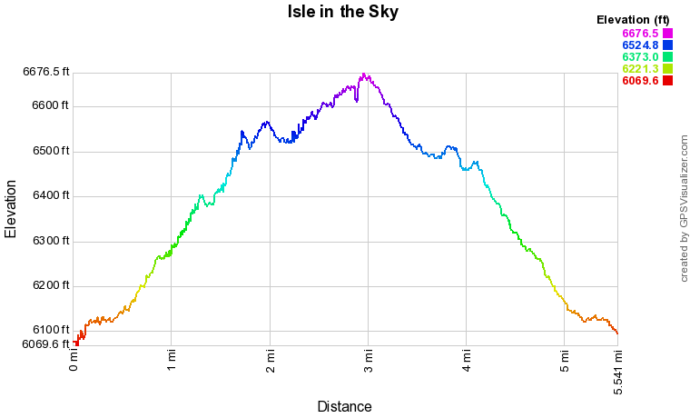
Distance: 5.5 mi (RT)
Elevation Gain: 780 ft
Elevation Min/Max: 6,069 to 6,666 ft
Trailhead Lat/Long: 38.53239, -105.20385
Managing Agency: Bureau of Land Management (BLM)
Fee: None

