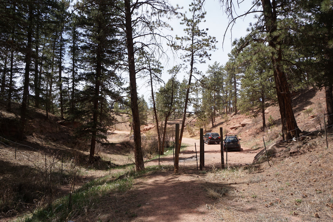
DIRECTIONS: From Woodland Park, CO, head north on 67, past Manitou Lake, and look for the turn-off for the Rainbow Road ORV area. Drive past the large trailhead and vehicle staging area and continue up Rd 348. At the first U-turn bend in the road (about 750 ft past the staging area), look to the right for the pull-out. This part of the road is rough and you'll probably need an SUV or truck to get up the road and into the pull-of. If your vehicle can't make it up, park at the staging are and walk up the road.
|
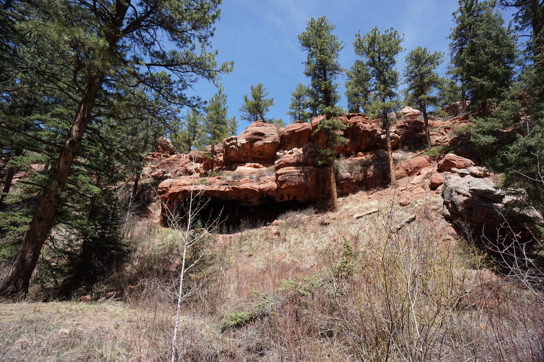
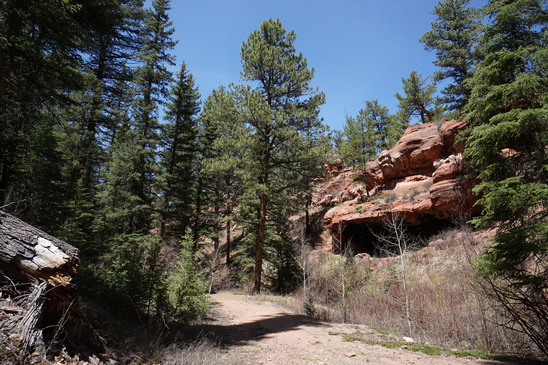
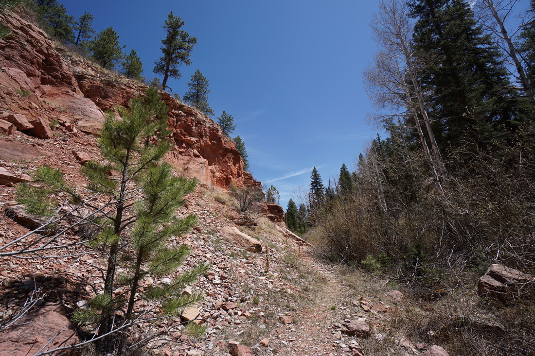
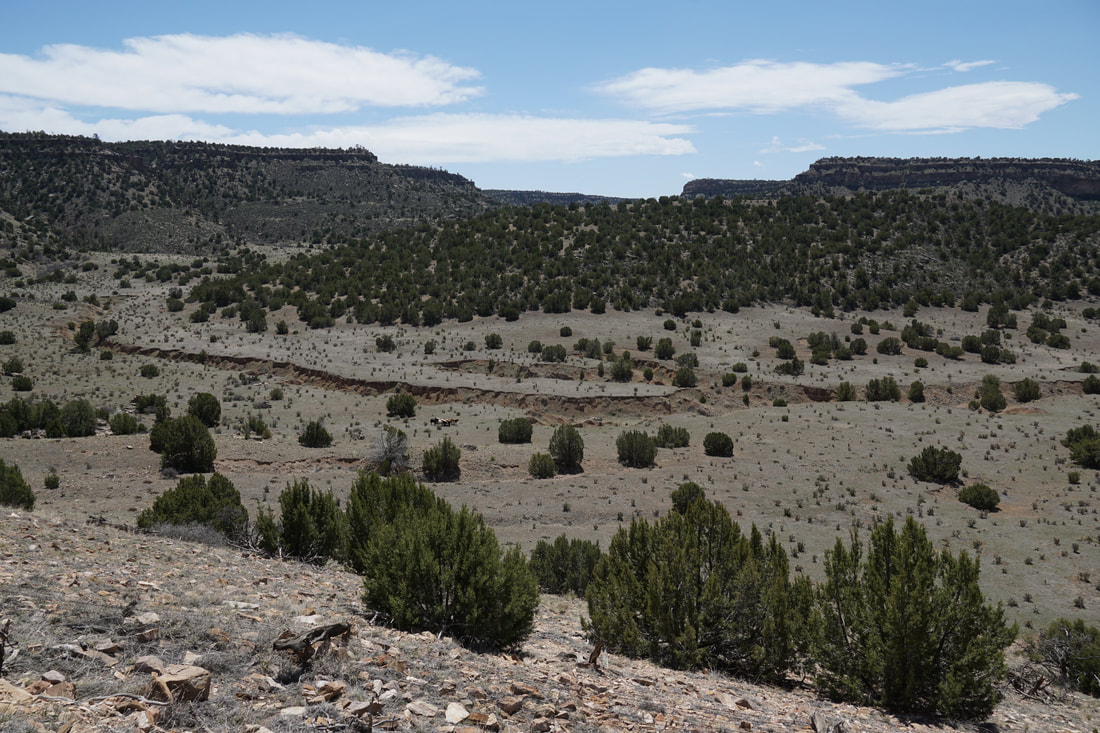
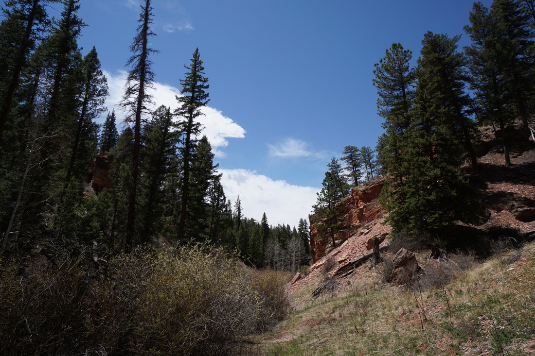
The Indian Cave Trail is a little known hike tucked away in a corner of a very popular off-road vehicle use area in the Pike National Forest. The hike is relatively short but visits some very interesting rock formations, cliffs, a large alcove, and a deep fissure cave that is fun to explore.
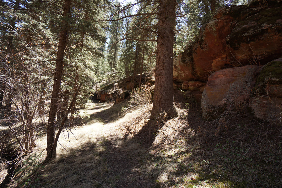
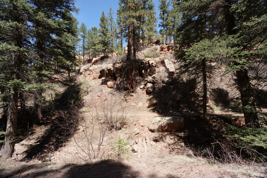
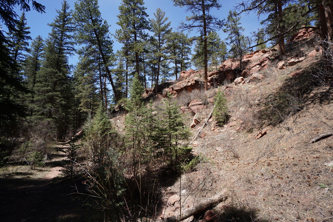
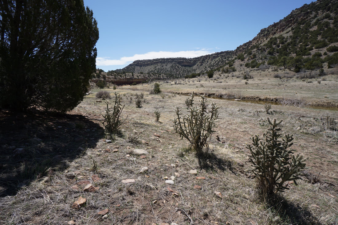
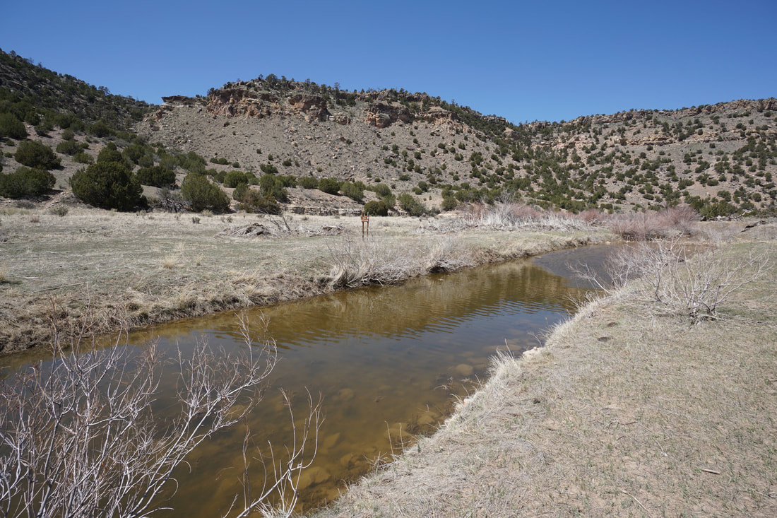
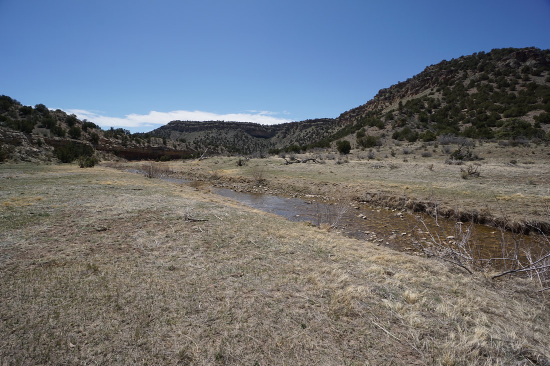
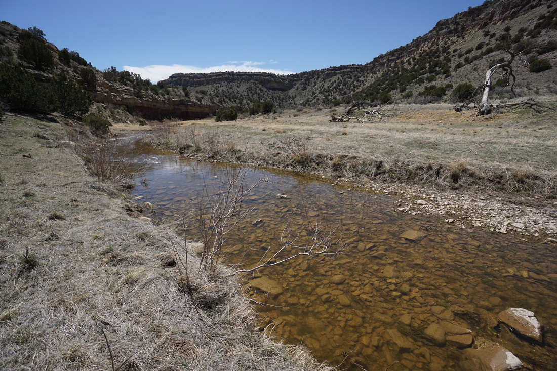
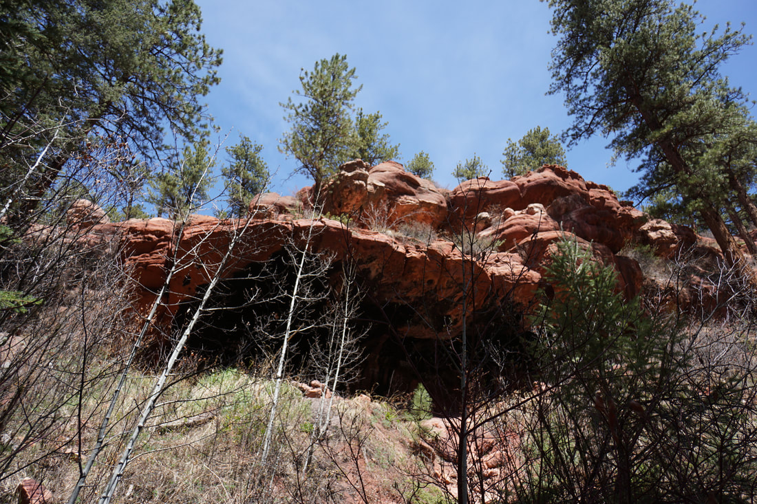
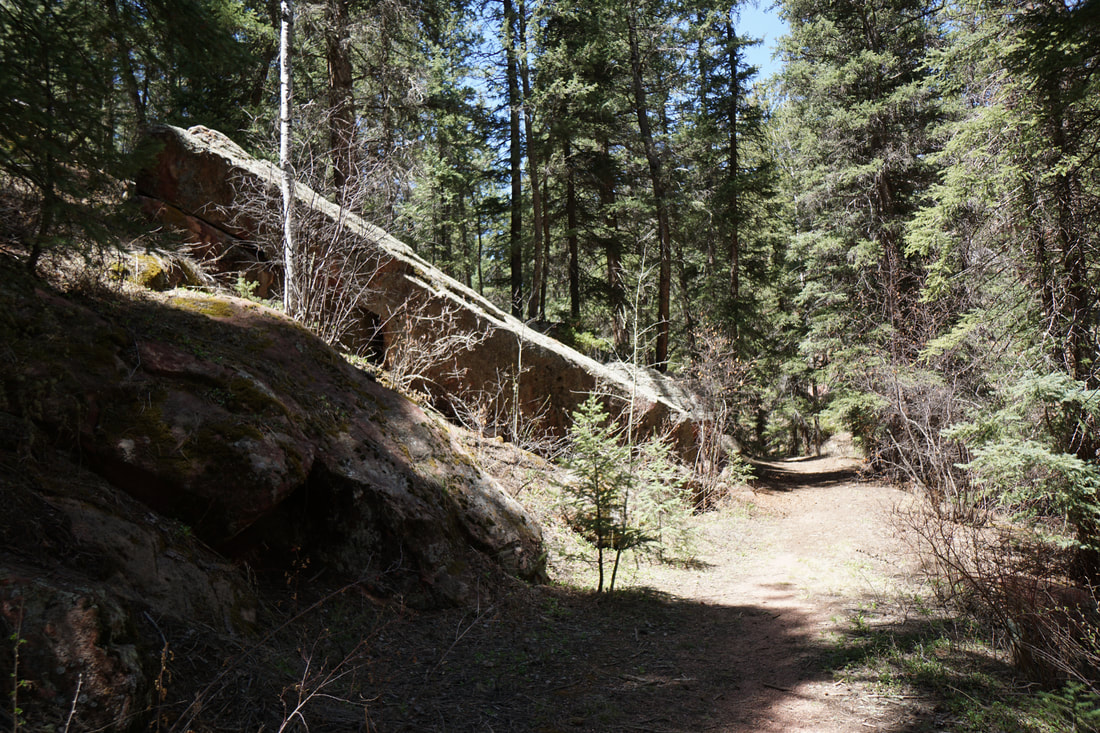
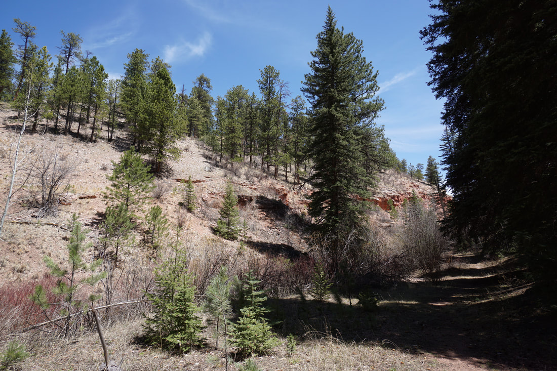
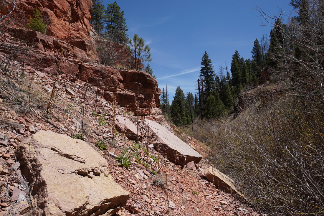
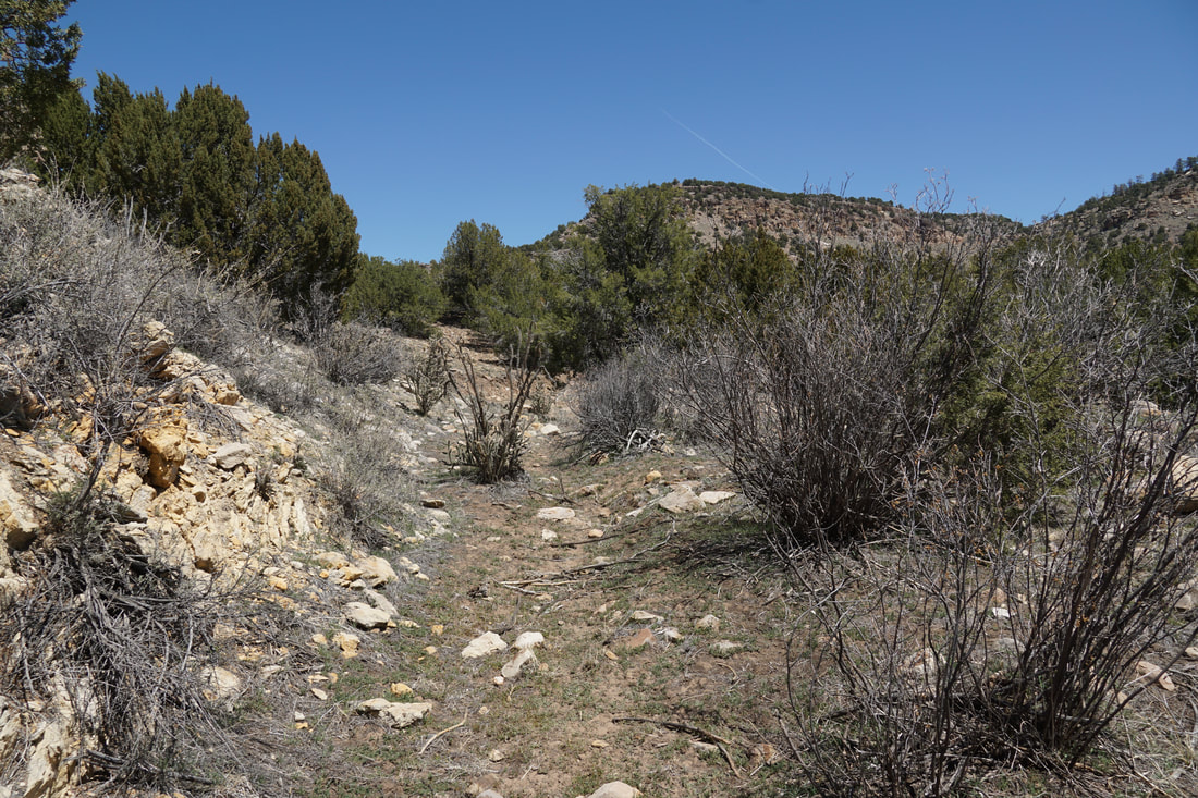
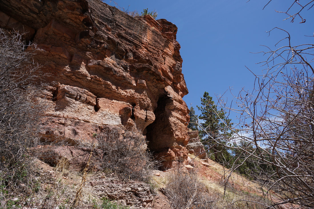
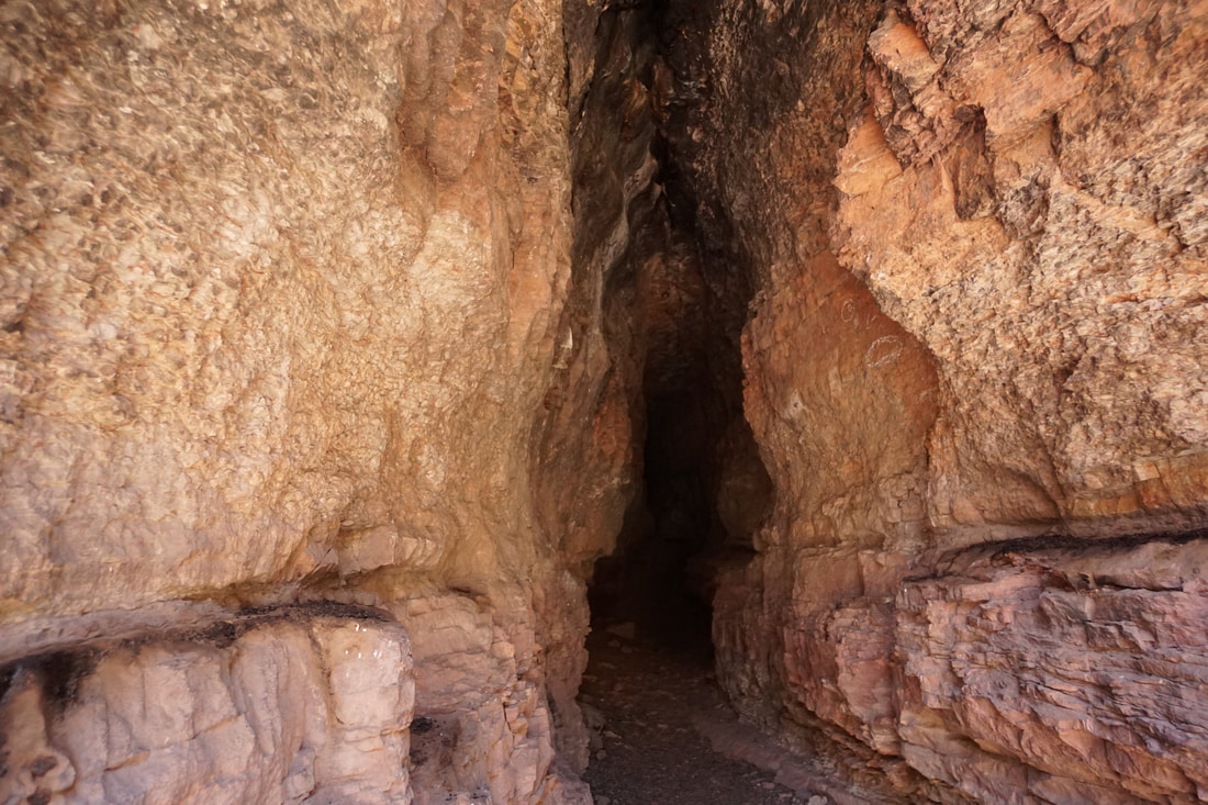
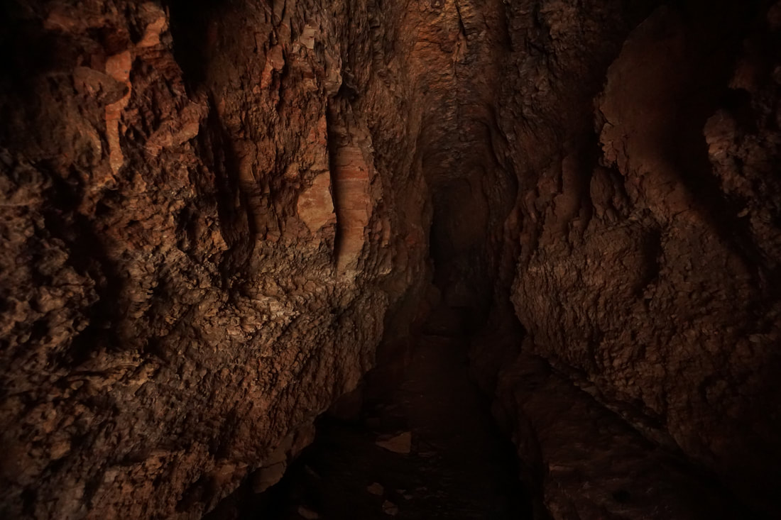
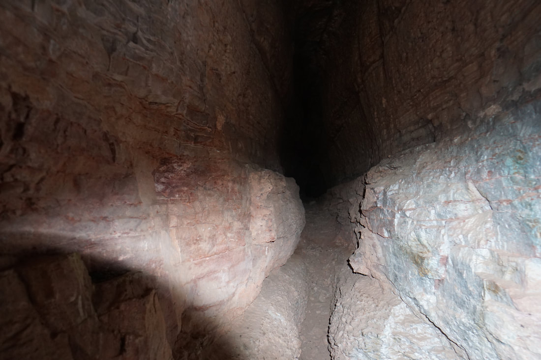
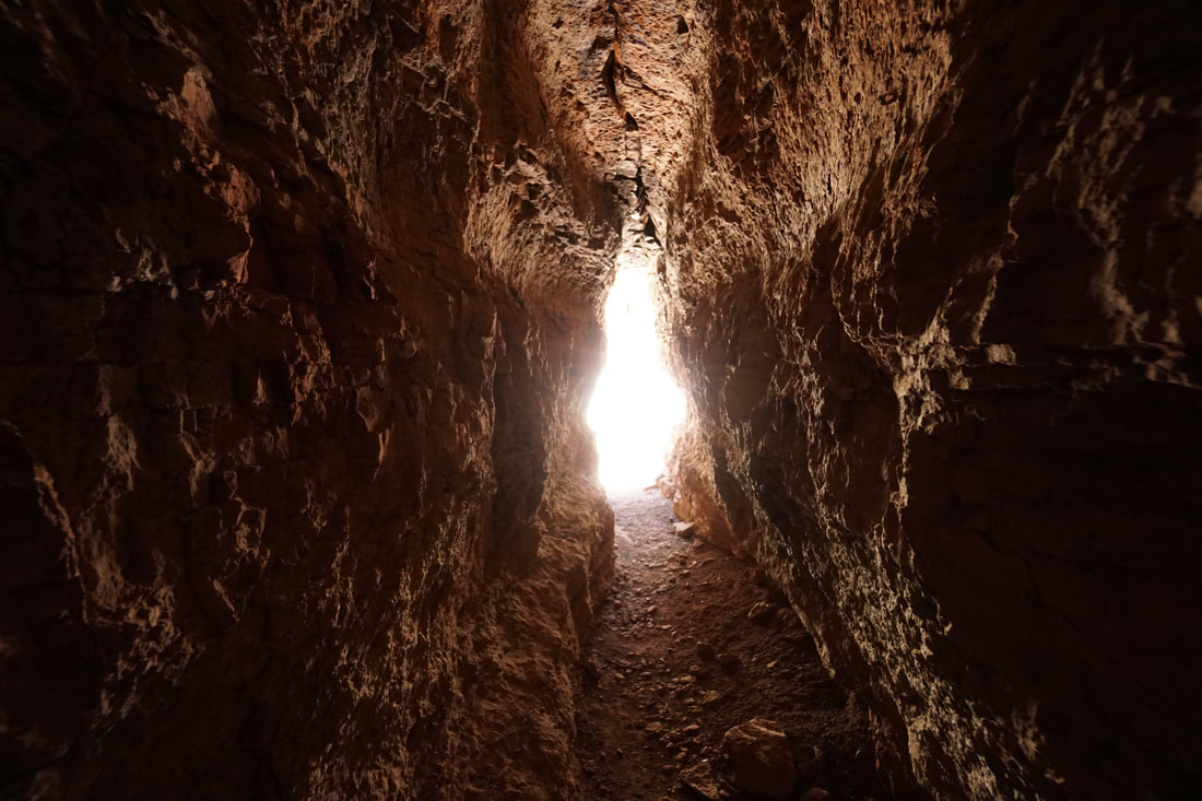
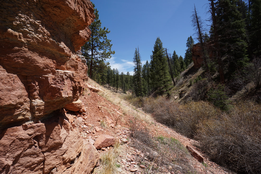
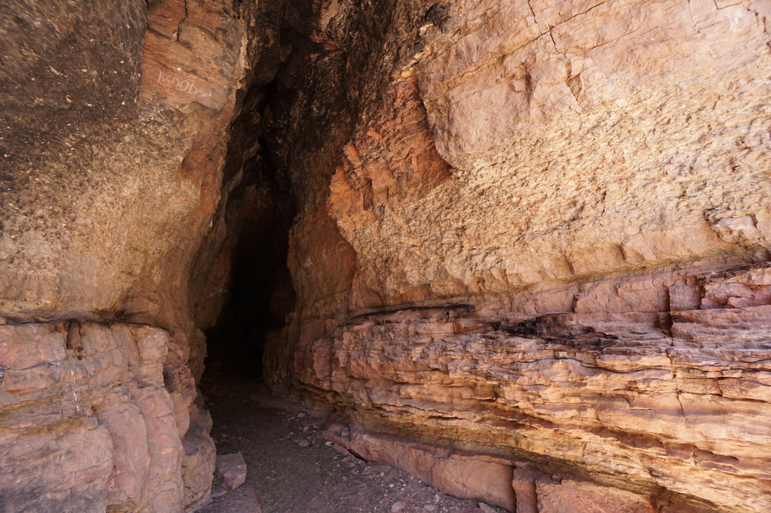
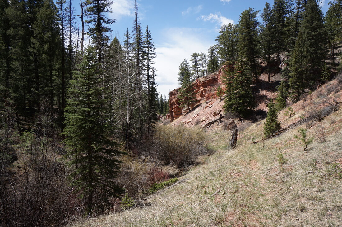
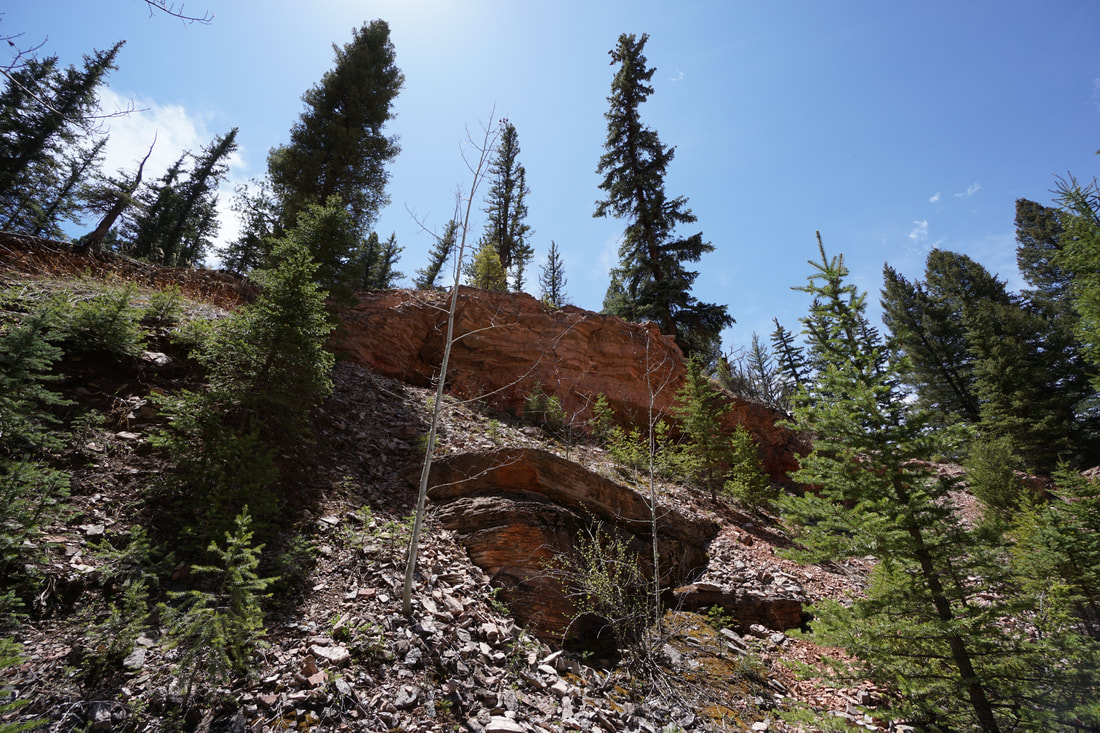
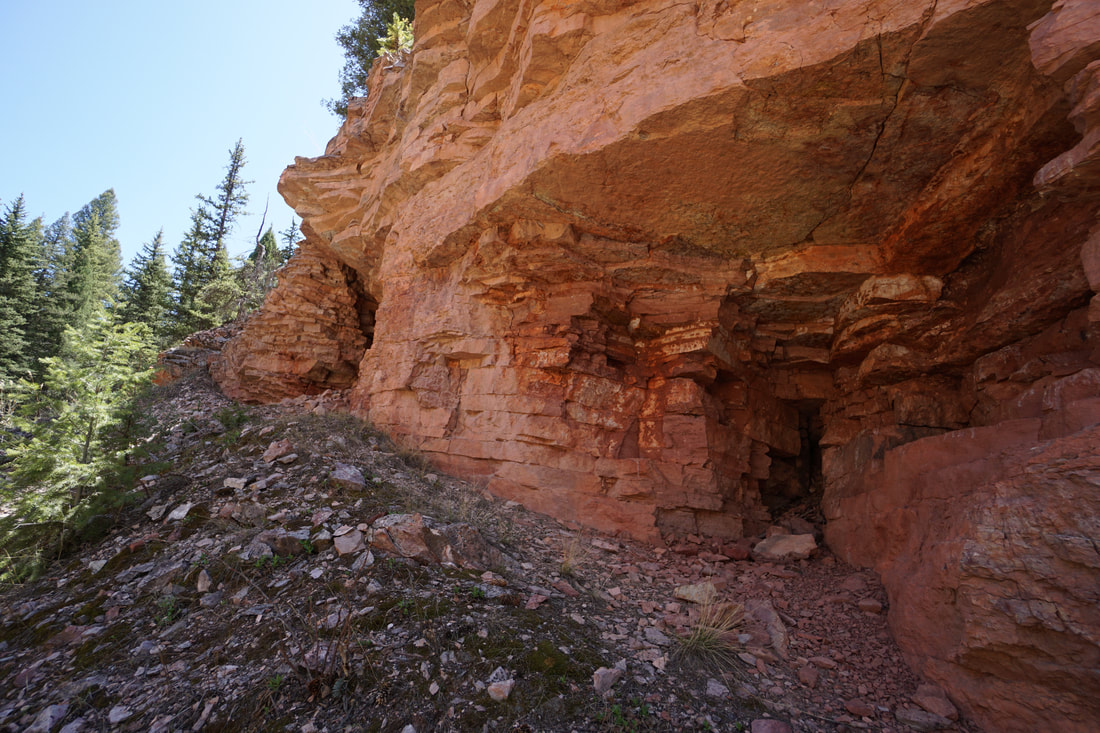
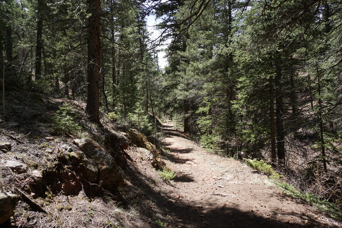
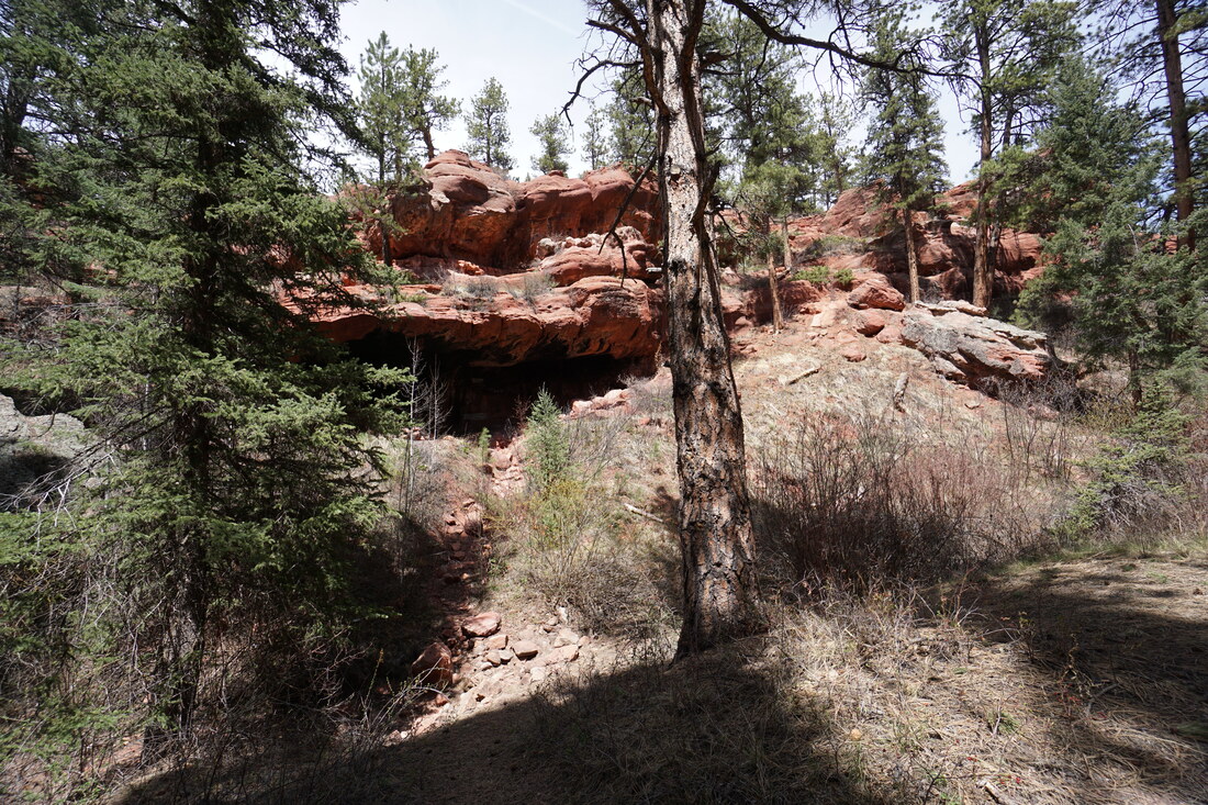
The trailhead is located at a bend in the road, just a few minutes drive into the Rainbow Falls ORV area. The small trailhead with a sign for trail 705 is located at the back of a pull-of with a fire ring and lots of trash...trash is a problem on the first quarter mile or so of this trail. As you hike through the forest you'll soon see a towering red rock formation off to the left. A small social trail will take you to a large overhang with more signs of camping, some graffiti, and more trash. People have not been kind to this area... The cliffs surrounding the alcove look like they are fun to explore. Moving on up the trail you'll hike through pleasant quiet spruce and pine forest. You soon get the sense that most people don't hike further than the alcove, since there is no trash on the rest of the trail... In the distance more red rock cliffs come into view and and you'll come to a fork in the road. This part of the trail may be faint but you should be able to find it. If you stay to the left, you'll hike along the base of the cliffs and soon arrive at the cave. If you take the right fork, you climb steeply to explore an area of more cliffs, and small (impassible caves), and quickly return back to the main trail. This is a worth while side trail. Back on the main trail, continue along the base of the cliffs until you see the cave. It's hard to miss. The cave consists of a deep fissure in the cliff wall and you can walk about 15 feet into the cave before the opening gets too small to walk through. On the walls and the floor is plenty of bat guano and if you look up you can just barely see the higher chamber where the bats are probably sleeping. The cave is small but fun to explore. The trail continues, through a clearing and back into the forrest. There are side trails that explore the creek and old ruins of a dam or other flood control structure. We stopped our trip in this area as the kids were getting tired and wanted to go back and see the cave again. This hike is an interesting, out of the way trail that seems to see few visitors. If anyone explores the rest of the trail drop me a line and let me know what you find. On the map it looks like there is another area of cliffs before the trail ends. |
|