|
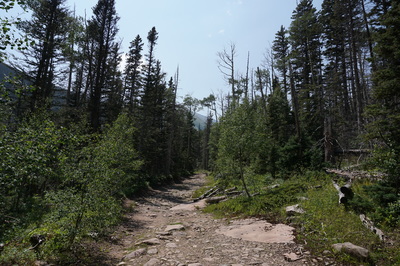
Directions: From Westcliffe head south on Hwy 69 and turn right onto 119 (Colfax) following signs to the South Colony Trailhead. 119 is a good dirt road. At the T intersection turn right onto 120 (South Colony Road) at a sign pointing right to South Colony Lakes Trailhead, left to Music Pass Trailhead. Follow South Colony Road to the lower trailhead and the start of the 4WD road. As of August 2015 the road has been improved and graded. Still, it is a serious road and you should not attempt it in a 2wd sedan. You need good clearance for this road and check with the Forest Service for current conditions. Follow the road for 2.5 miles to the upper trailhead and parking.
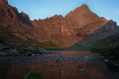
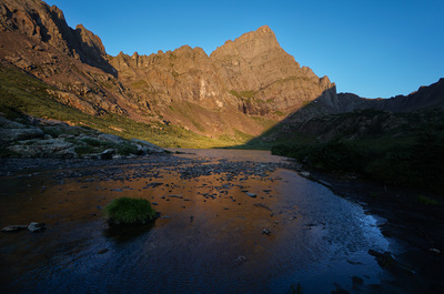
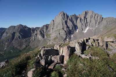
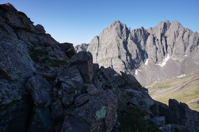
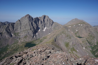
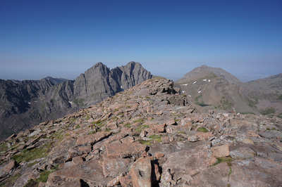
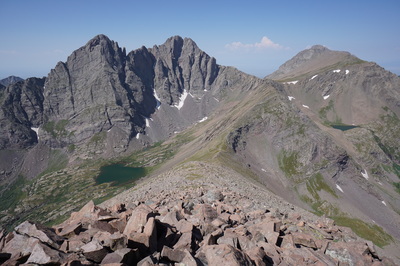
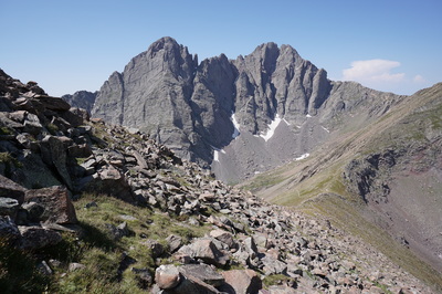
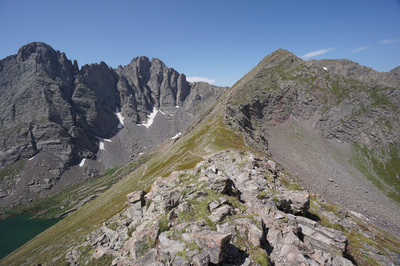
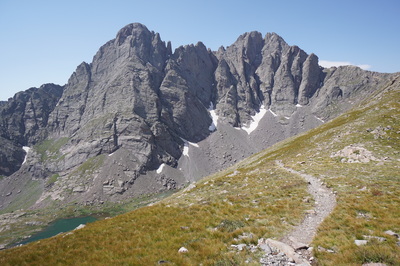
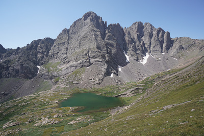
The hike up to Humboldt Peak from the South Colony Lakes is extraordinary. While the peak is probably the easiest Sangre De Cristo 14er, it is not easy. The best thing about climbing Humboldt is that you get eye level views of the surrounding 14ers, including Crestone Needle and Crestone Peak, which are some of the most stunning and iconic mountains in Colorado.
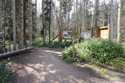
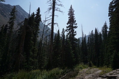
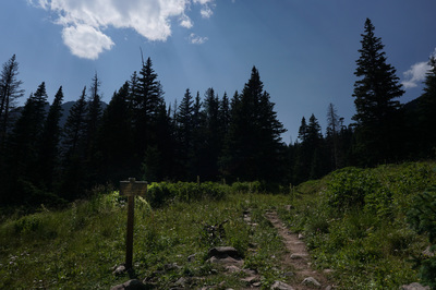
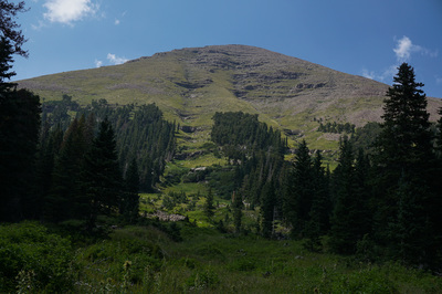
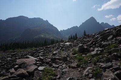
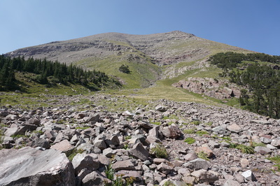
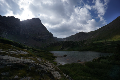
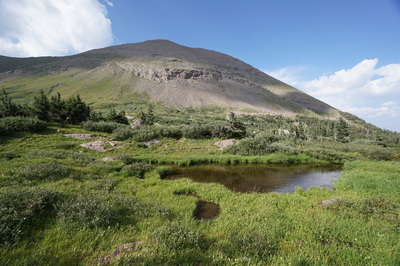
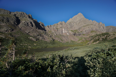
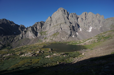
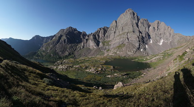
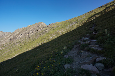
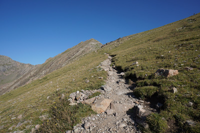
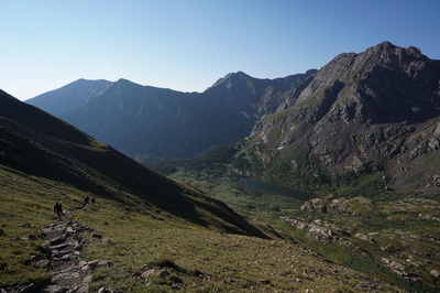
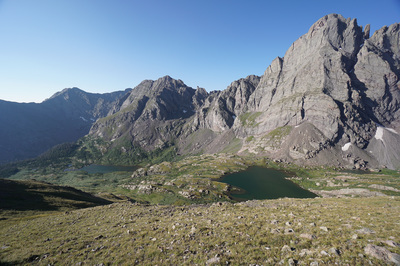
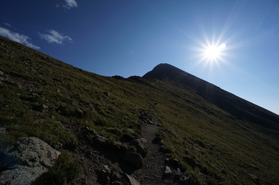
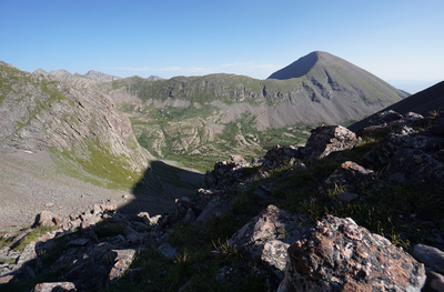
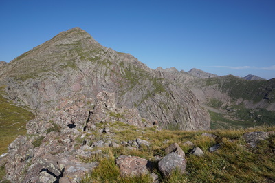
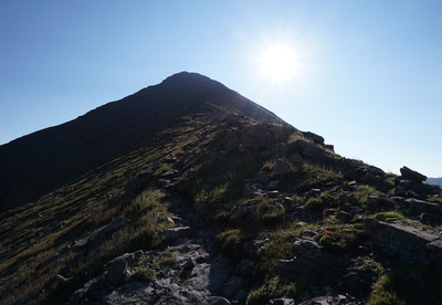
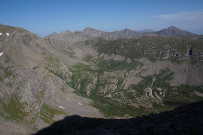
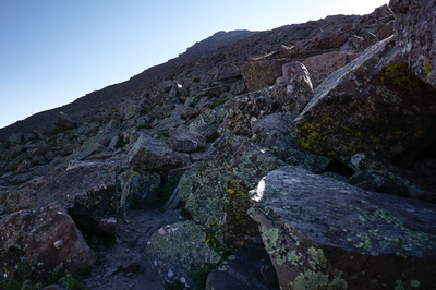
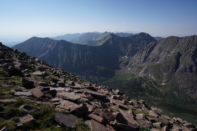
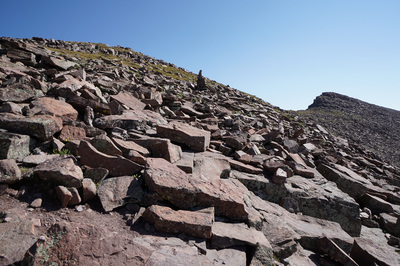
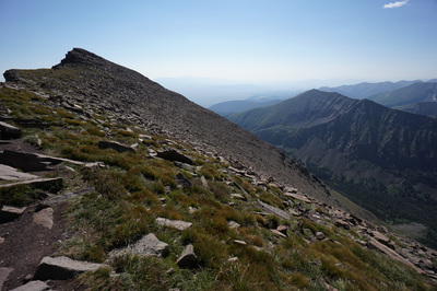
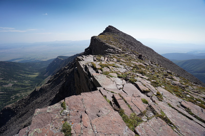
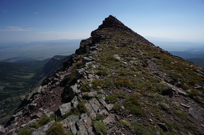
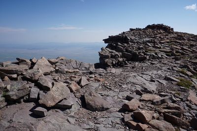
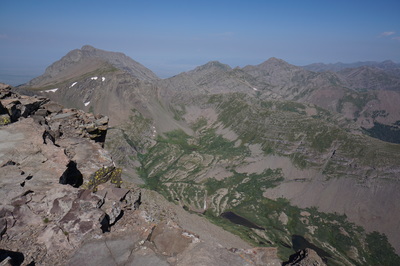
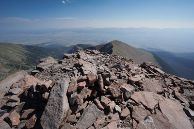
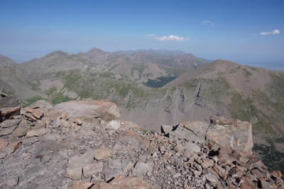
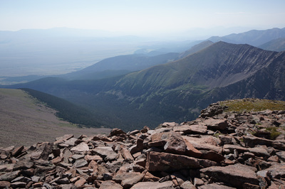
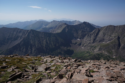
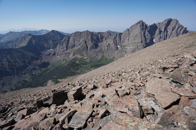
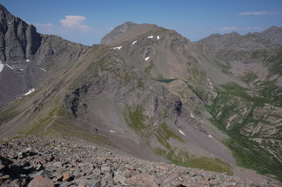
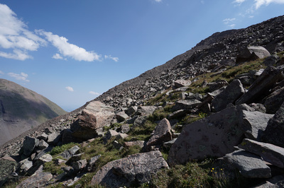
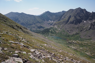
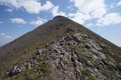
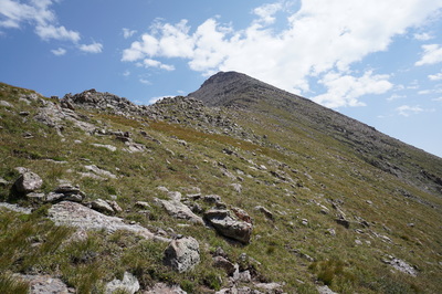
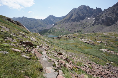
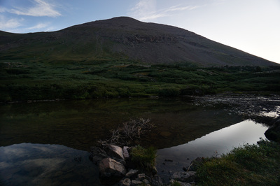
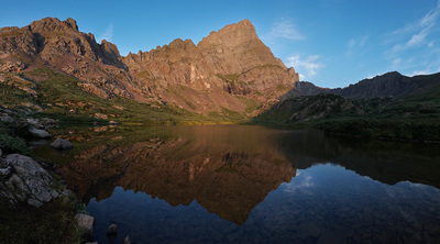
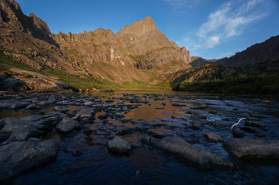
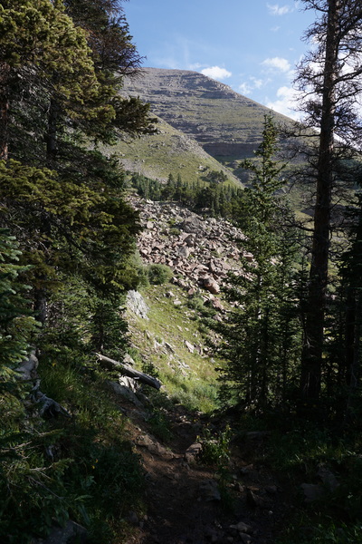
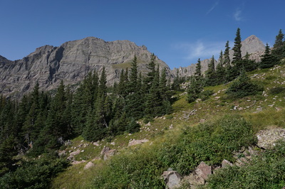
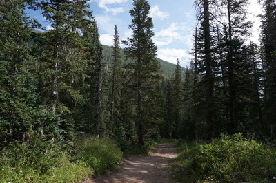
The approach is very straightforward. From the upper trailhead follow the wide dirt road for about 2.5 miles to the old trailhead and wilderness boundary. At the second set of trailhead signs you'll see a trail sign on the opposite side of the road. If you go straight here continuing to follow the road, you'll come out at the shores of the lower South Colony Lake. If you turn right at the sign and follow the single track, you'll reach an area of dispersed campsites above the lower lake. For hiking Humboldt peak, you'll want to turn right here. The trail heads up the basin and immediate bestows awesome views. Your first treat is looking back to Marble Mountain and Milwaukee Peak, up close and personal. As you continue, Broken Hand Peak will loom overhead, followed by the sharp apex of Crestone Needle. All the time, you'll be in the shadow of Humboldt Peak to your right. From here is looks mild and unassuming...that will change... Just before you reach the overlooks to Lower South Colony Lake, there will be some excellent campsites to put down a base camp. If you are dayhiking, just continue up the basin passing over the lower lake. The best lake views are from the shores of the lower lake as Crestone Needle is reflected in the (sometimes) calm waters. Continue up the trail to the Upper South Colony Lake, smaller but just as impressive. At the upper lake you will be situated at the base of Crestone Needle and looking up its sharp cliffs can cause vertigo... From the upper lake the trail switchbacks steadily up the saddle. Although the trail is steep in some sections, the hike up to the saddle is excellent. From the saddle, the fun begins. As you climb to the saddle, you'll get your first real views of Humboldt Peak. It is a very steep climb complete with boulder hopping and some easy scrambling. Just keep going, you'll make progress faster than you think. The important thing to keep in mind is that the actual trail is very hard to follow. Just keep on going up and look for cairns and dirt whereever you can find them. The first 2/3rds of the climb will keep you on the north side of the ridge, with amazing views of Colony Baldy and the twisted folds of the Sangres to the North. As you near the false summit, you need to cross over the ridge to the south side in order to stay on the trail, if you stay on the north side too long, you'll wind up on very sharp cliffs under the peak. On the north side of the ridge, the trail will ease up as you approach the false summit and become relatively flat as you follow the ridge to the true summit. This portion of the hike is incredible. One more push up the boulders to the top of the true summit and you're there. Obviously, the views are amazing, to the south you can see the Blanca Group of 14ers and the Spanish Peaks, the San Luis Valley stretches out behind the Crestones to the west, the Wet Mountains to the east, and the northern Sangres to the north. The views are incredible in every direction, enjoy... |
- HOME
- ABOUT
-
HIKES BY REGION
-
NATIONAL PARK HIKES
- BENT'S OLD FORT NATIONAL HISTORIC SITE
- BLACK CANYON OF THE GUNNISON NATIONAL PARK
- COLORADO NATIONAL MONUMENT
- CURECANTI NATIONAL RECREATION AREA
- DINOSAUR NATIONAL MONUMENT
- FLORISSANT FOSSIL BEDS NATIONAL MONUMENT
- MESA VERDE NATIONAL PARK
- ROCKY MOUNTAIN NATIONAL PARK
- GREAT SAND DUNES NATIONAL PARK
- HOVENWEEP NATIONAL MONUMENT
- SAND CREEK MASSACRE NATIONAL HISTORIC SITE
- YUCCA HOUSE NATIONAL MONUMENT
- HIKES BY CATEGORY
- NEWS
- WEBCAMS
- $UPPORT GHC
- INTERACTIVE MAP
Humboldt Peak 14,064ft (West Ridge)
Sangre De Cristo Wilderness
San Isabel National Forest
Date Hiked: August 21-23, 2015
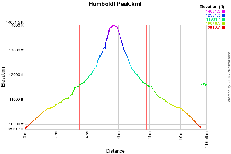
Distance: 11 mi (RT)
Elevation Gain: 4,200ft
Elevation Min/Max: 9,950 to 14,064ft
Trailhead Lat/Long: 37º 58' 35" N; 105º 30' 19" W
Managing Agency: U.S. Forest Service
Fee: None

