|
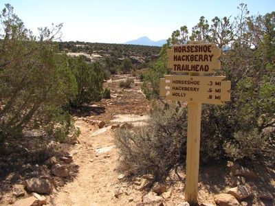
Directions: From the Visitor Center in Utah, head north east on CR 212. 4 miles north of the turn-off to the Visitor Center is the dirt road that leads to the Horseshoe Trailhead, there may or may not be a sign for this turnoff. Follow the dirt road for 1.1 miles to a trail kiosk and the trailhead on your left.
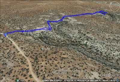
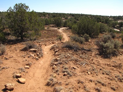
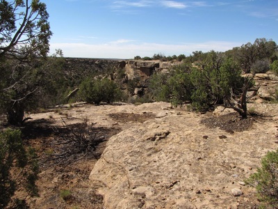
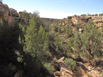
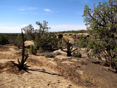
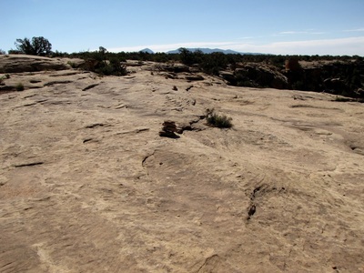
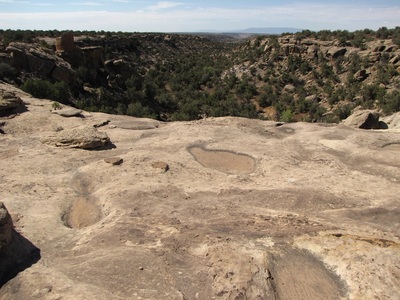
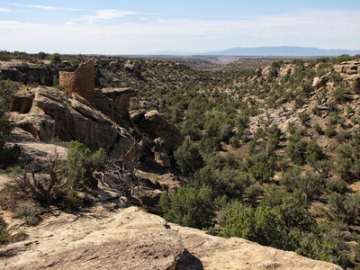
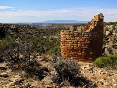
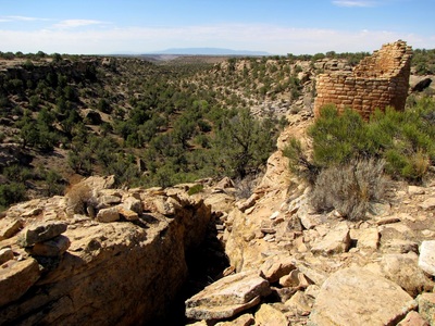
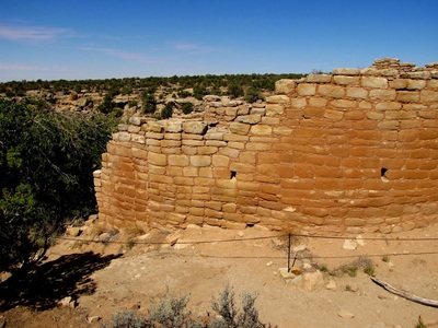
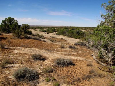
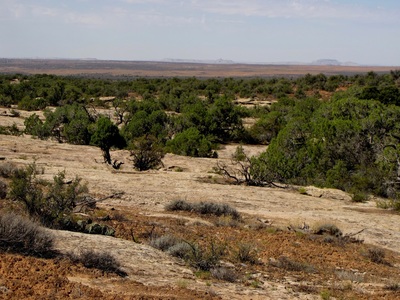
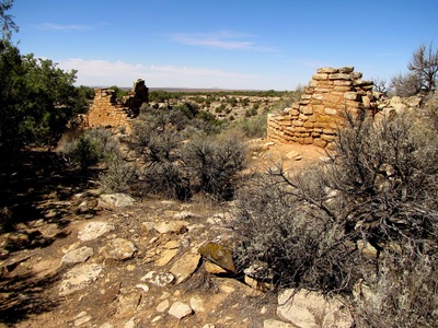
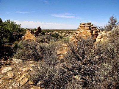
The hike to the Horseshoe and Hackberry groupings of ancestral Puebloan structures is a wonderful and remote desert hike. From the trailhead you follow an easy trail along the edge of a canyon to the Horseshoe ruins. Horseshoe consists of a tower looking out over the Canyon to the desert floor below. The trail is mostly through the desert scrub but also traverse large slickrock areas where you need to follow small cairns. Shortly after you leave the Horseshoe ruins, you'll reach the Hackberry Group which has more structures and also situated on the canyon's edge. You can explore these ancient villages to your heart's content before retracing your steps back to the trailhead. |
- HOME
- ABOUT
-
HIKES BY REGION
-
NATIONAL PARK HIKES
- BENT'S OLD FORT NATIONAL HISTORIC SITE
- BLACK CANYON OF THE GUNNISON NATIONAL PARK
- COLORADO NATIONAL MONUMENT
- CURECANTI NATIONAL RECREATION AREA
- DINOSAUR NATIONAL MONUMENT
- FLORISSANT FOSSIL BEDS NATIONAL MONUMENT
- MESA VERDE NATIONAL PARK
- ROCKY MOUNTAIN NATIONAL PARK
- GREAT SAND DUNES NATIONAL PARK
- HOVENWEEP NATIONAL MONUMENT
- SAND CREEK MASSACRE NATIONAL HISTORIC SITE
- YUCCA HOUSE NATIONAL MONUMENT
- HIKES BY CATEGORY
- NEWS
- WEBCAMS
- $UPPORT GHC
- INTERACTIVE MAP
Horseshoe & Hackberry Groups
Hovenweep National Monument
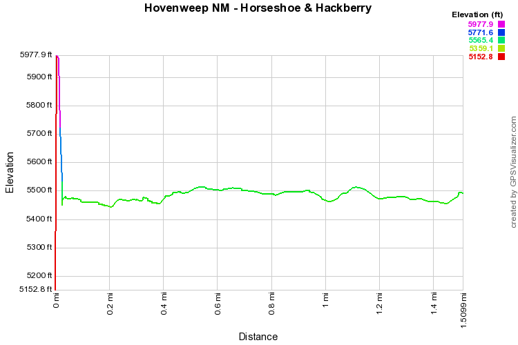
Distance: 1.5 mi (RT)
Elevation Gain: 800ft
Elevation Min/Max: 5,153 to 5,978ft
Managing Agency: National Park Service
Fee: $6

