|
|
|
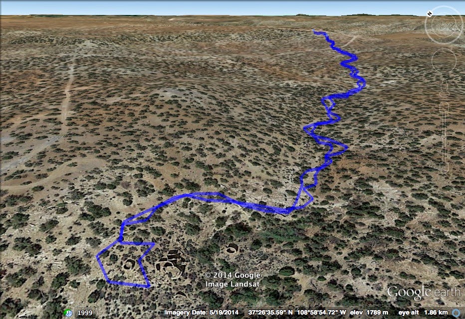
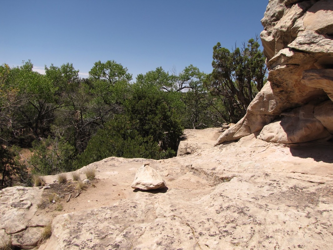
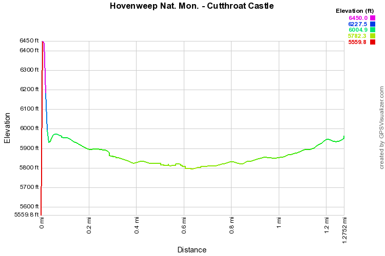
Directions: From the Visitor Center in Utah, head north east on CR 212. 8.5 miles miles north of the turn-off to the Visitor Center is the dirt road that leads to the Upper Cutthroat Castle Trailhead. Turn right onto the dirt road that may or may not have a sign and follow the good dirt road to the Upper Trailhead. The road past this trailhead gets much worse so it is a good idea to park here and hike the trail down to Cutthroat Castle.
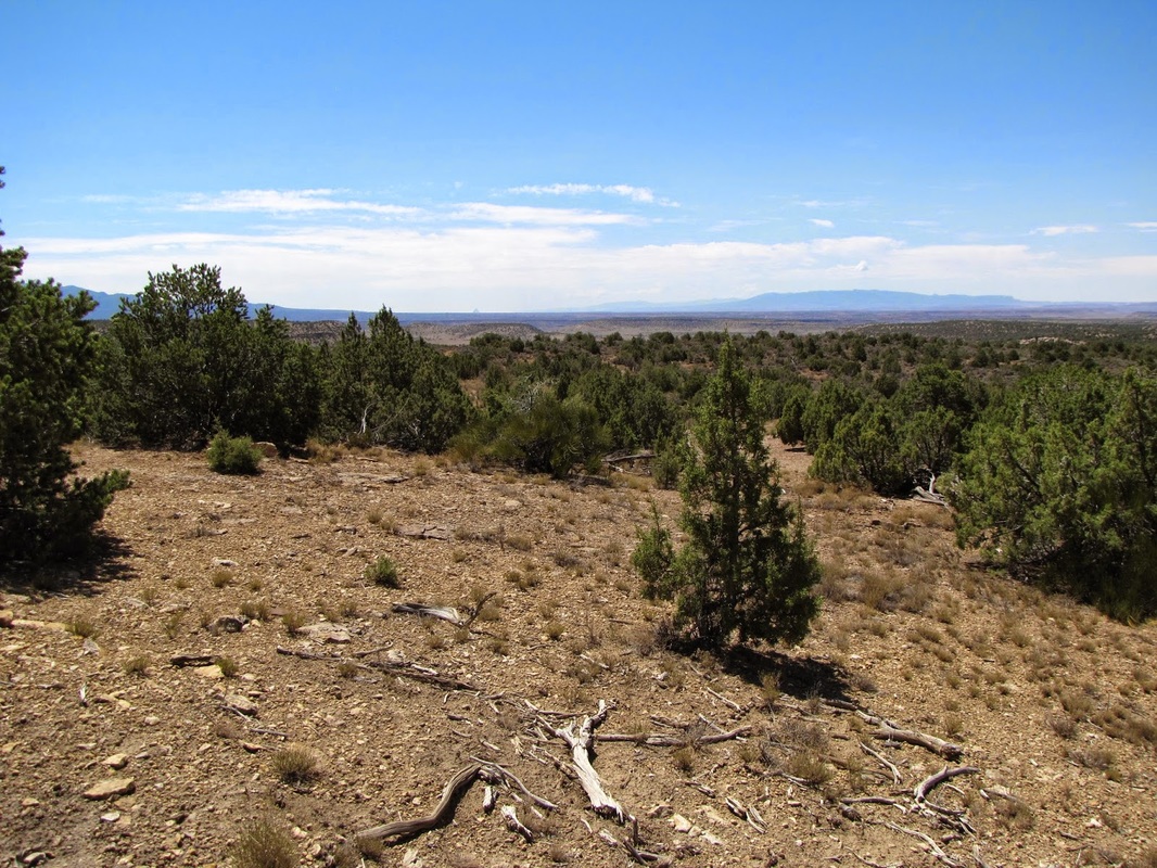
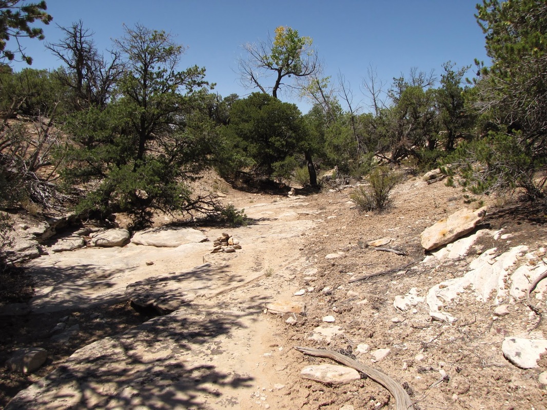
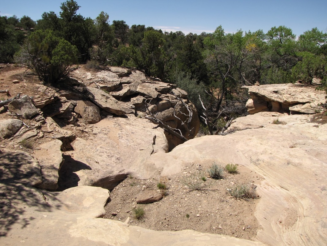
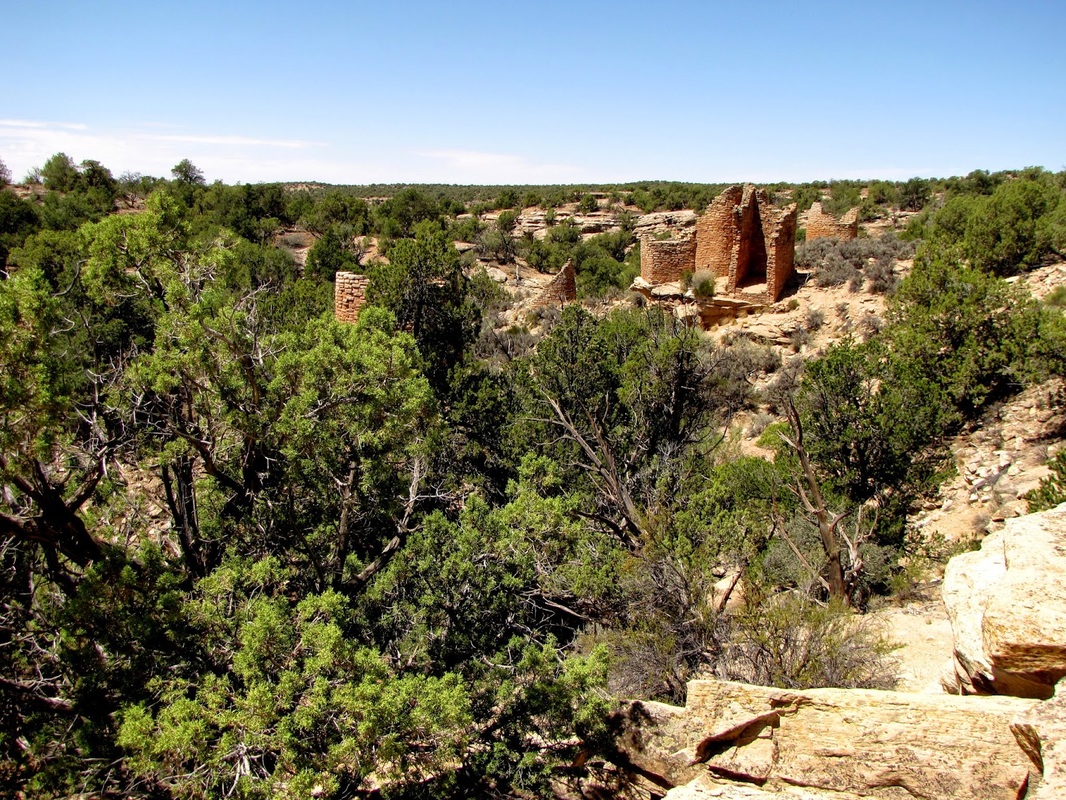
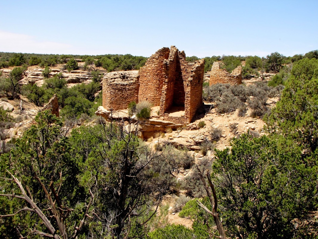
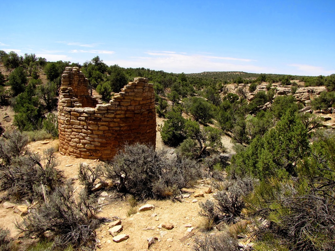
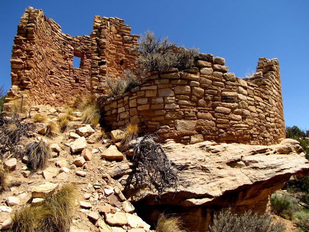
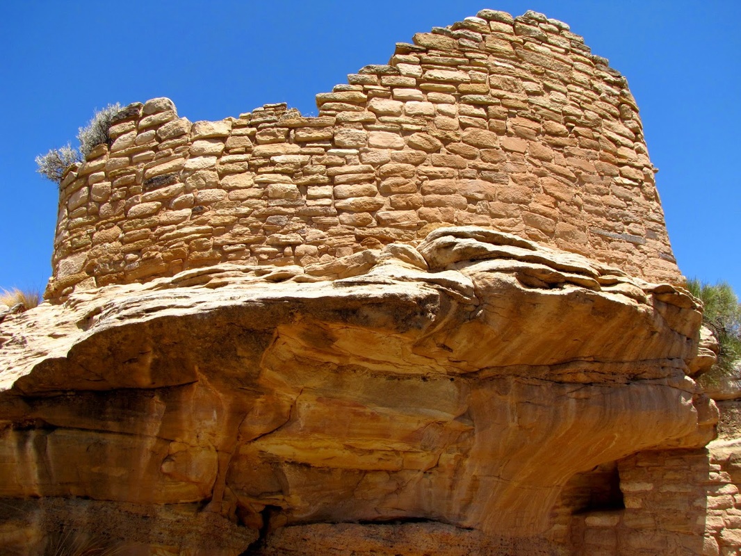
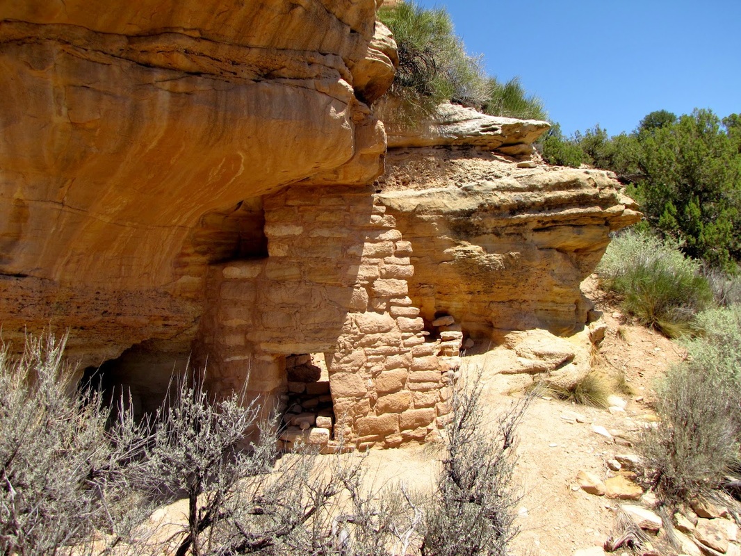
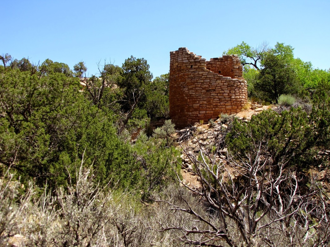
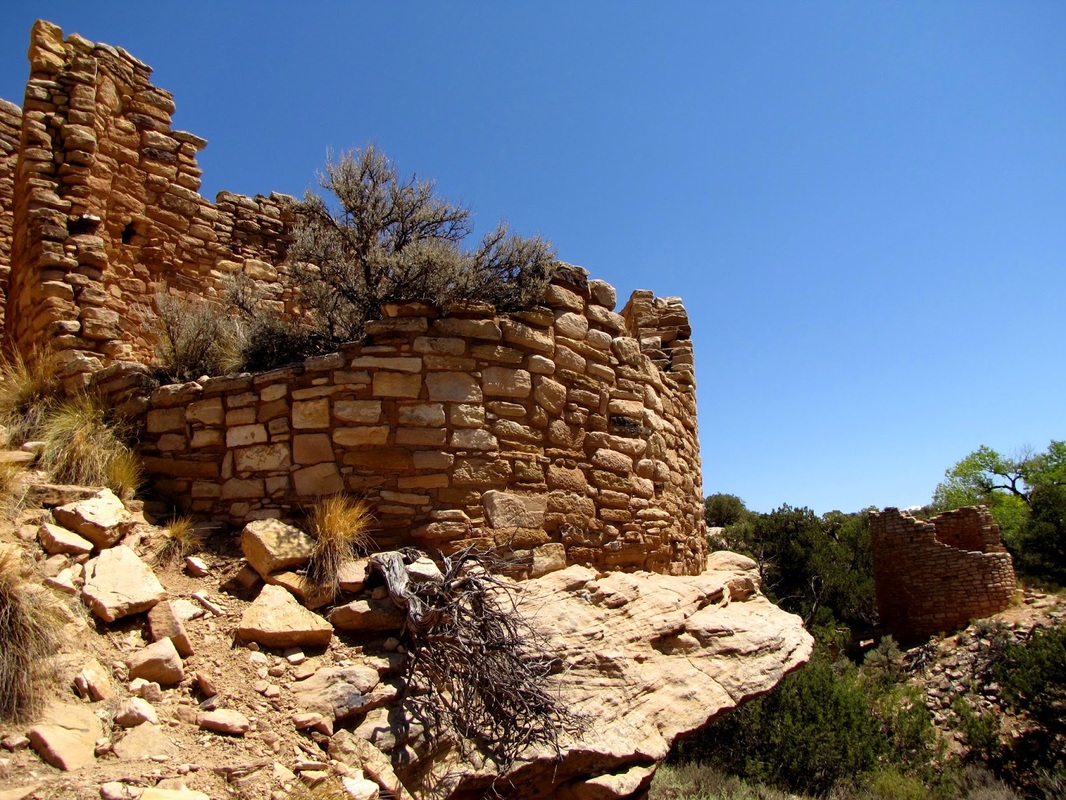
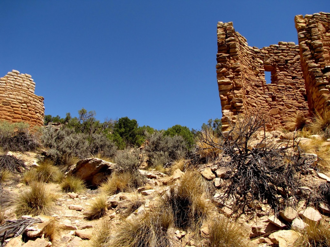
Cutthroat Castle is one of the more interesting and impressive structures in Hovenweep and one of the more exciting hikes. From the road, head down a rocky wash to a chain link fence. Pass through the fence and continue heading down the wash. The trail here is rocky and requires some scrambling down ledges, but nothing too intense. Before too long you'll see the Cutthroat Castle ruins in the distance. Cutthroat Castle is a large tower structure, surrounded by smaller structures. This community is fun to explore as the trail weaves through the various kivas and towers. This is the most authentic grouping that you are likely to see at Hovenweep. With little chance of seeing other visitors, you'll get the illusion of being the first to uncover this ancient civilization...very Indiana Jones... |
|