|
DIRECTIONS: From I-25 in Monument, Colorado, take 105 east and turn right (south) on 83. Turn left (east) on Hodgen Road. Turn right (south) on Eastonville Road and left (east) on Sweet Road. Turn right (south) on Elbert Road briefly and another left (east) on Sweet Road. Turn left (north) on Golihar Road and follow it into the park.
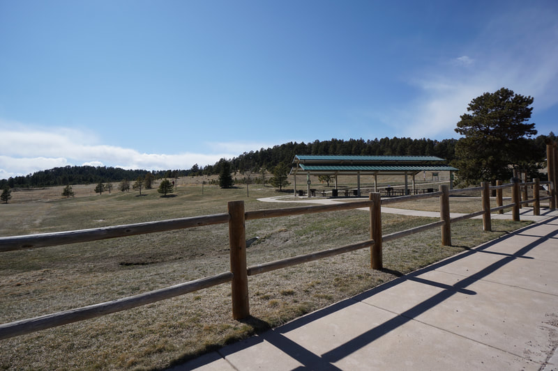
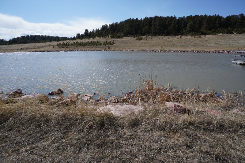
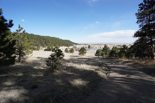
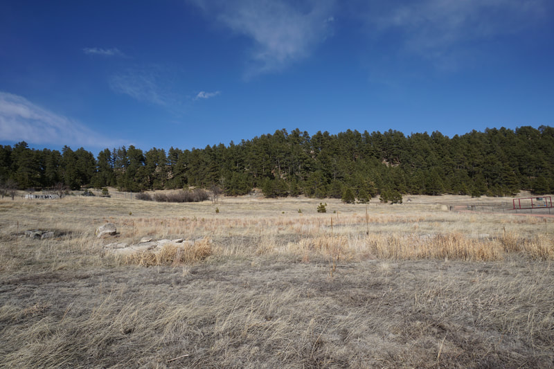
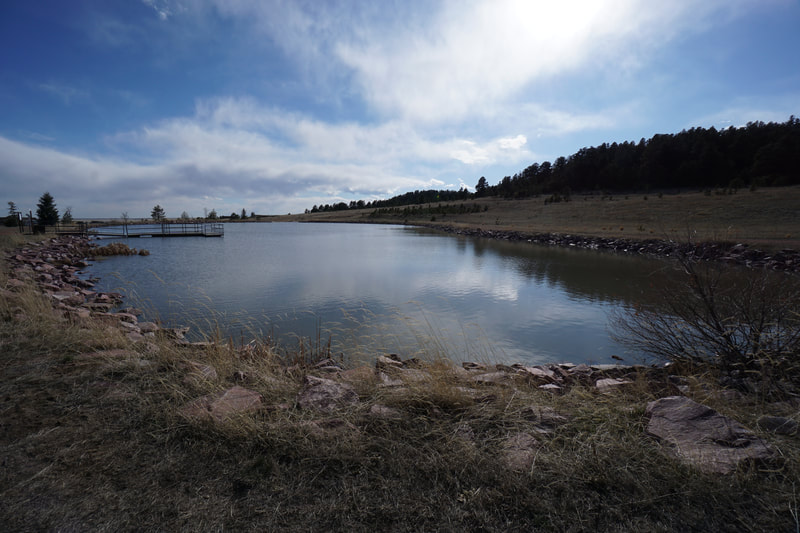
Homestead Ranch Regional Park is a nice local community open space park northeast of Colorado Springs in the town of Peyton, Colorado. The park has a fishing pond, playground, and...of course...a small system of hiking trails. The trails explore an evergreen filled bluff that rises from the plains. There are three trail loops that can be combined for a longer hike. This description explores the Homestead Ranch Trail's Western Loop.
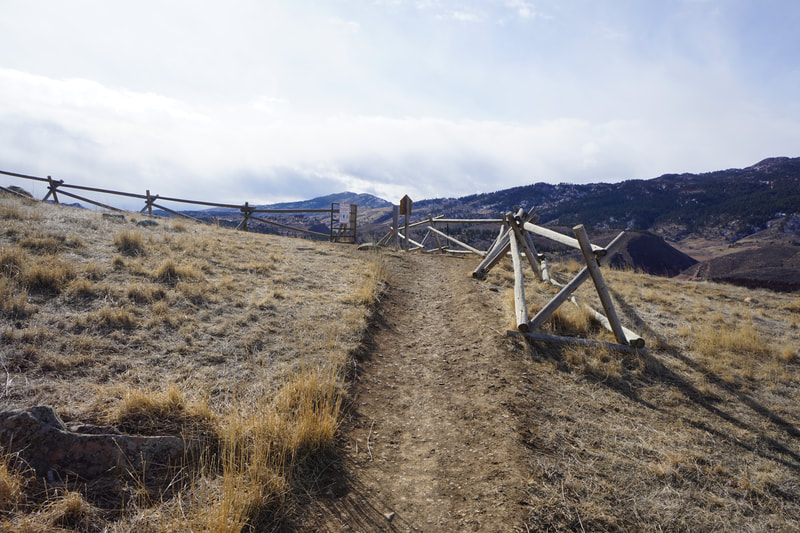
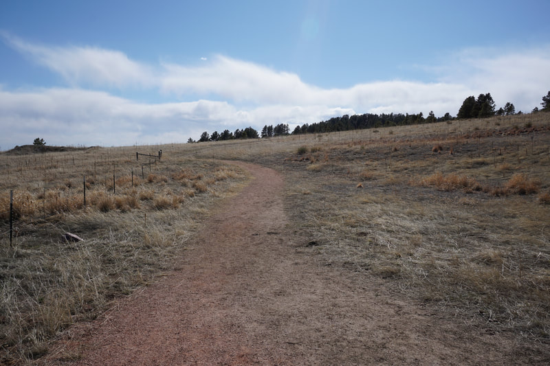
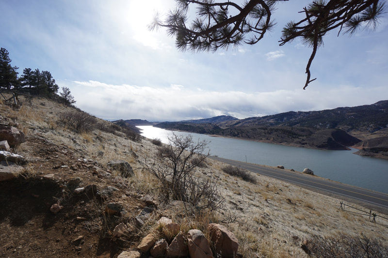
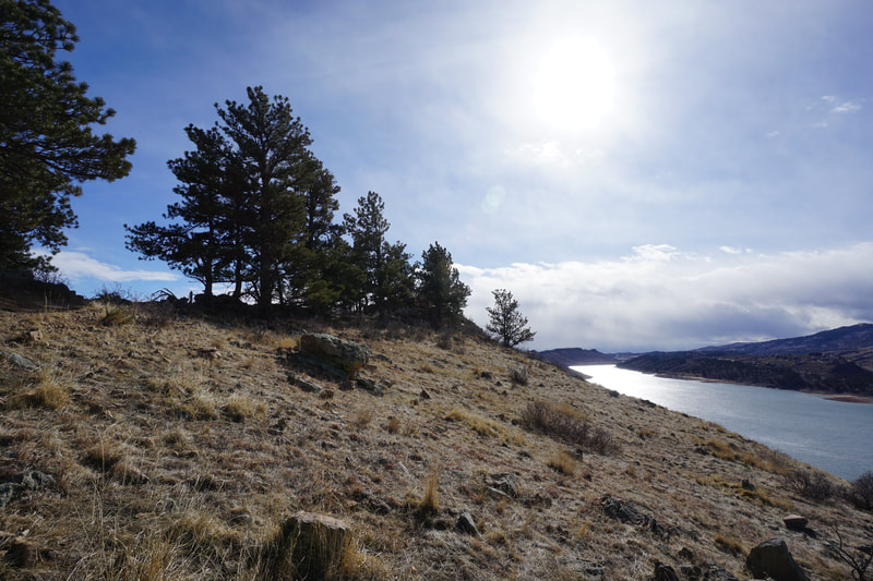
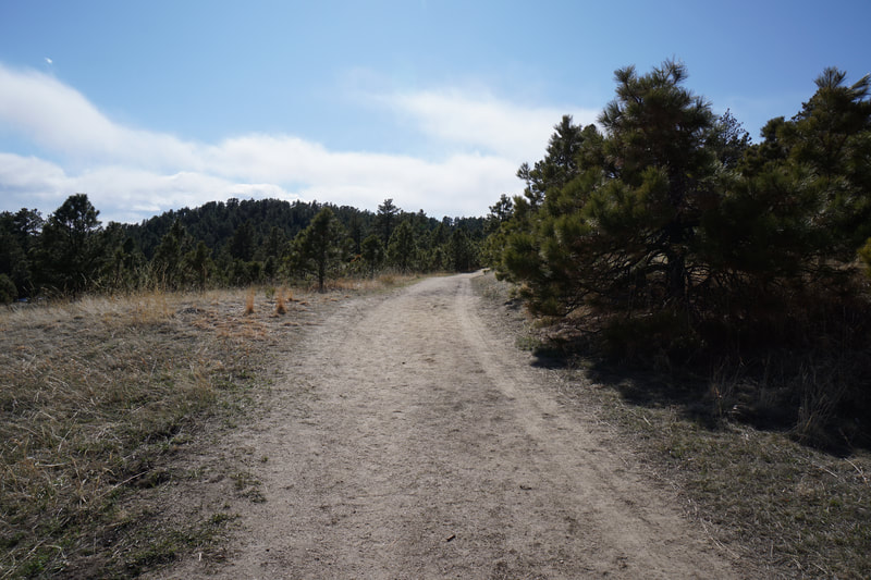
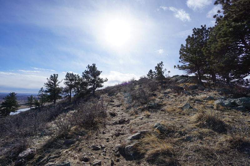
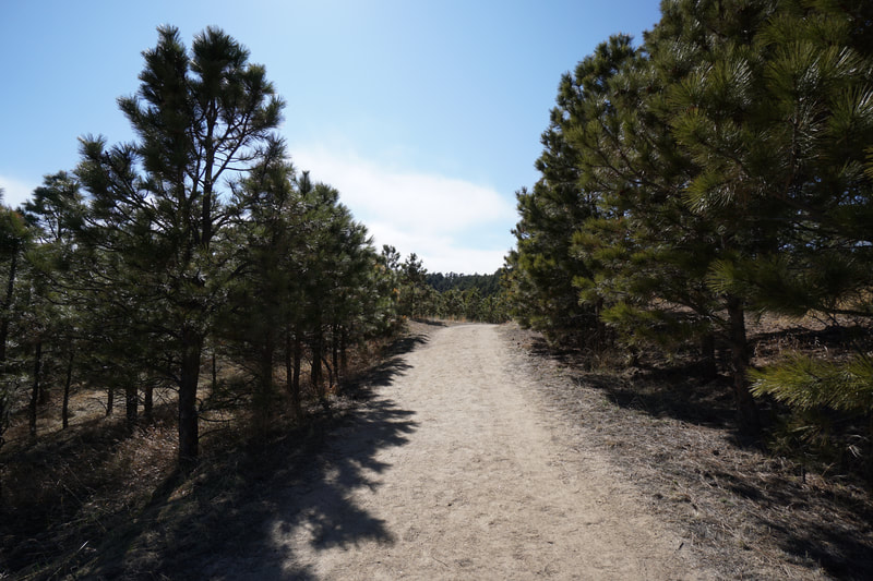
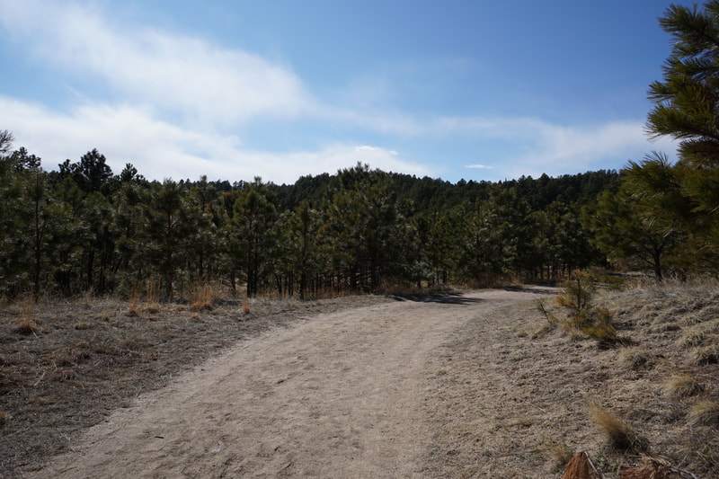
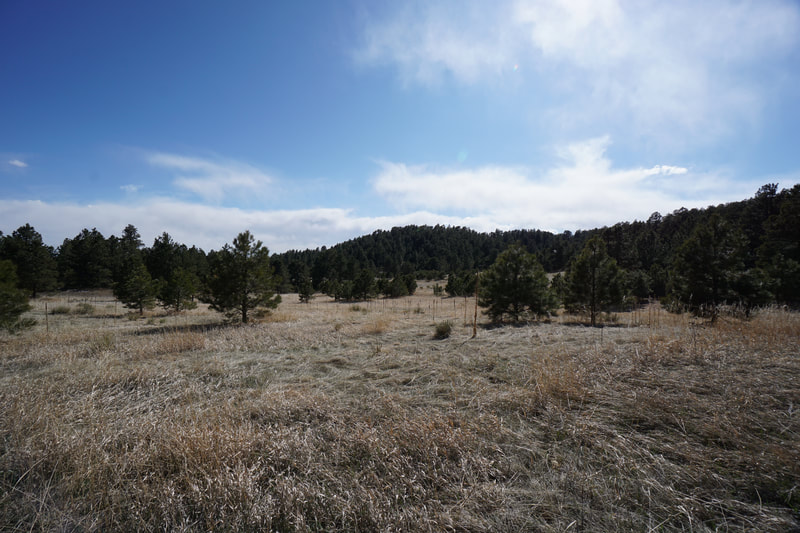
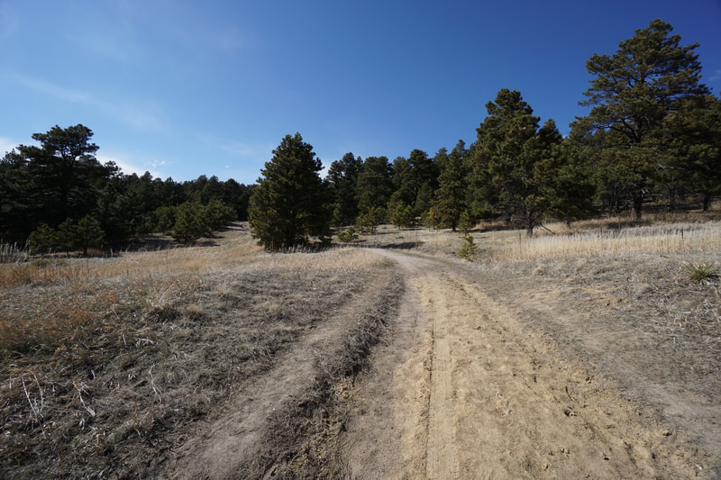
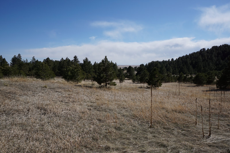
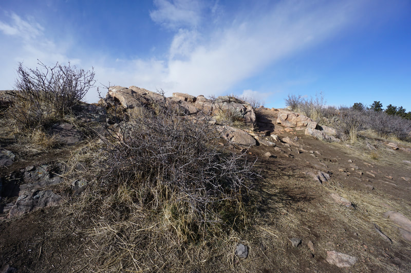
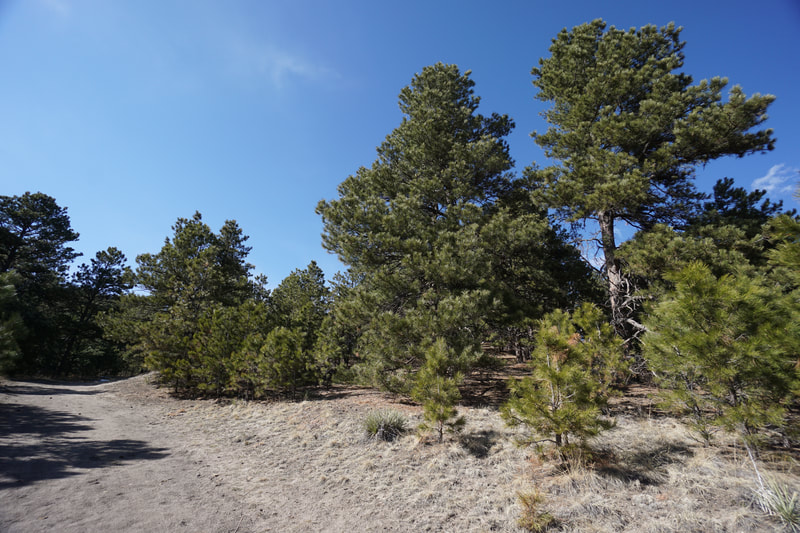
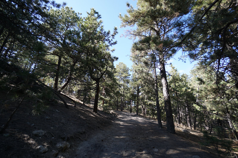
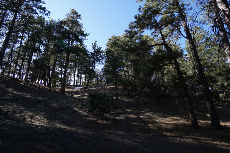
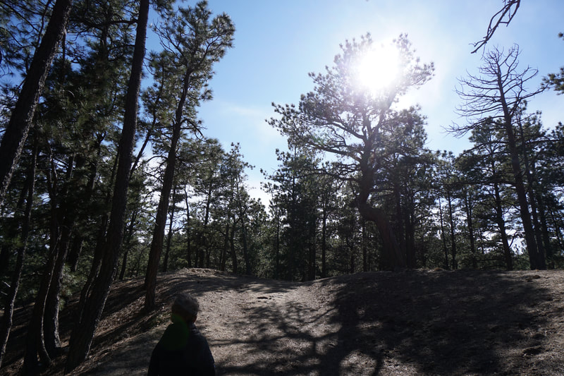
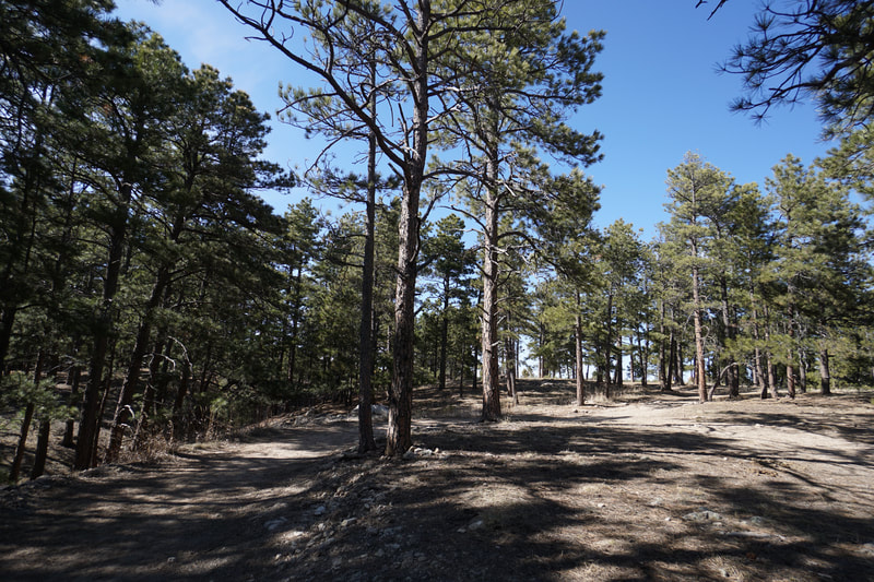
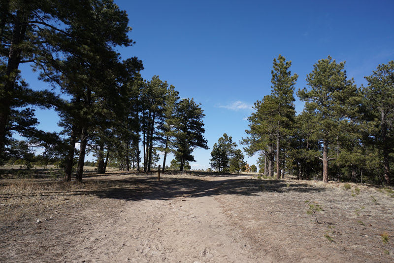
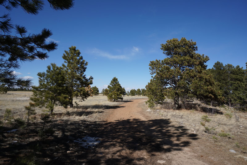
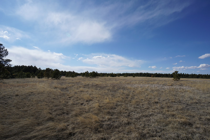
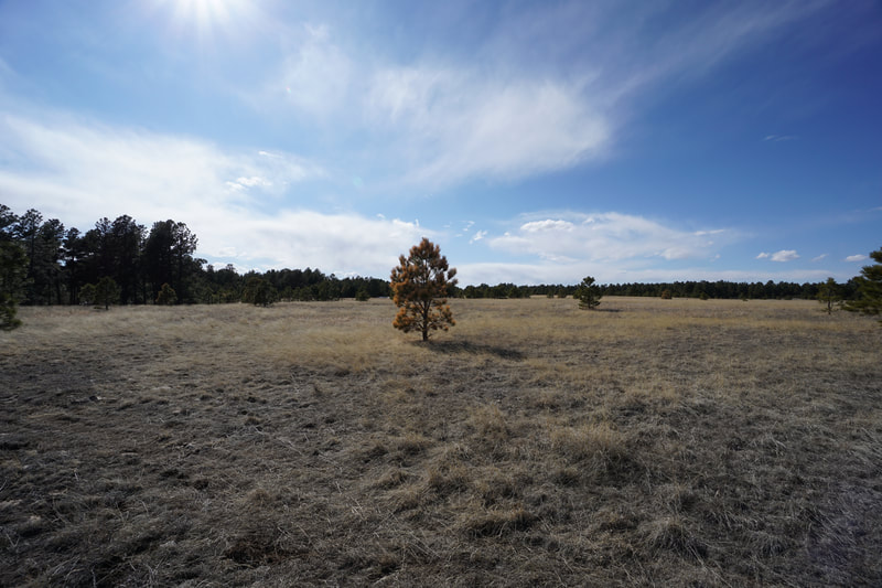
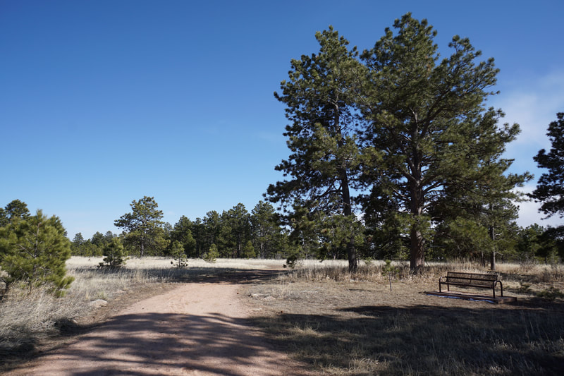
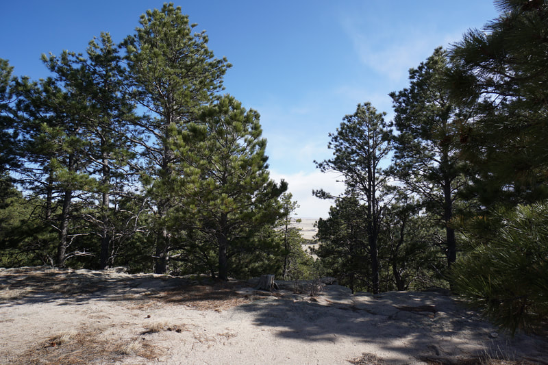
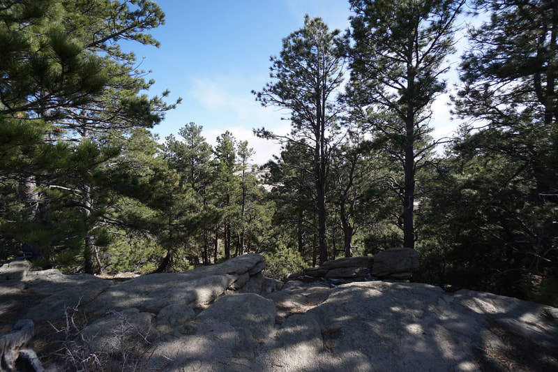
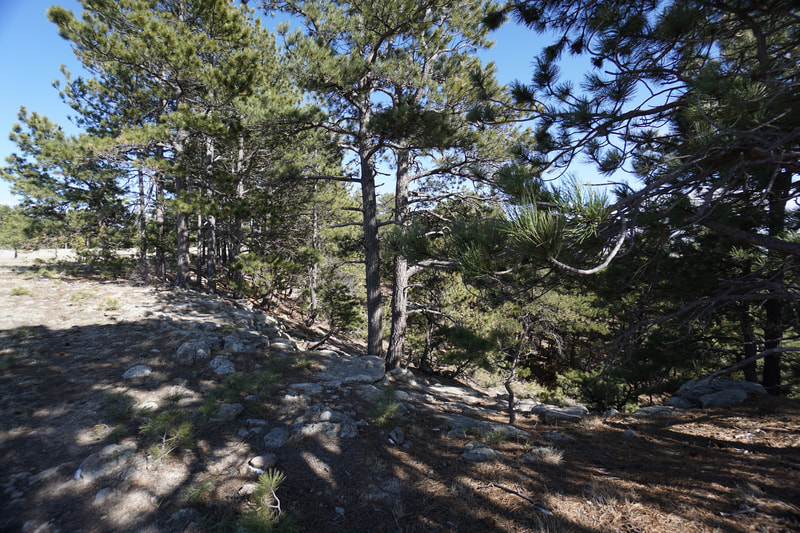
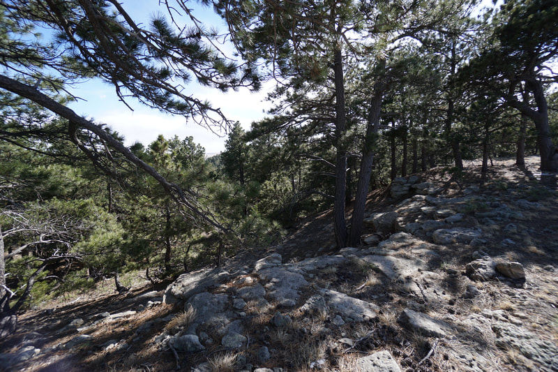
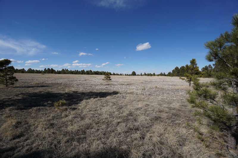
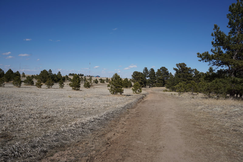
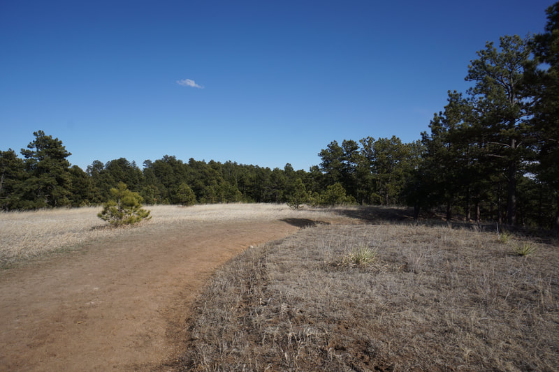
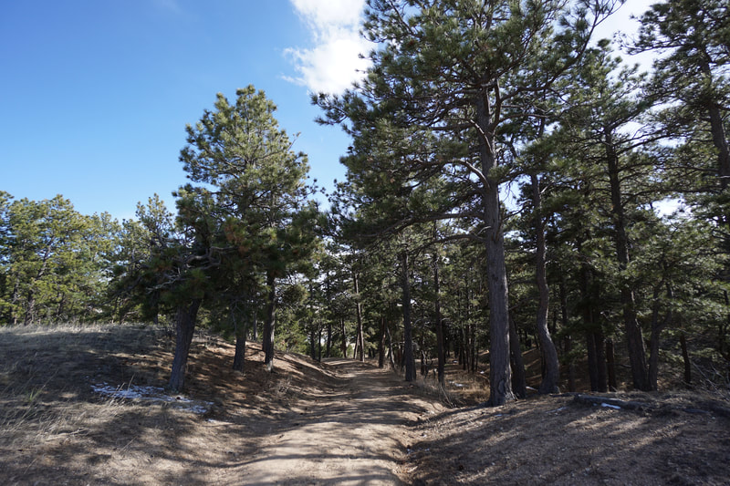
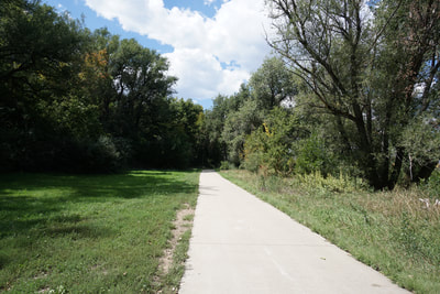
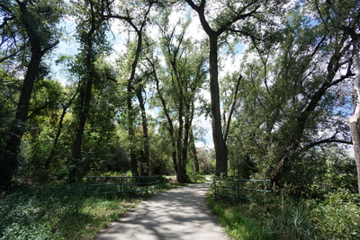
The hike begins from the parking area following a paved trail up to the fishing pond. Follow the pond to the southern end to pick up the Homestead Ranch Trail. There are few trail signs so the beginning might be a little confusing. Cross the small spillway and turn left heading up-hill. At the first trail junction, stay to the right, again heading up-hill. At the second trail junction stay left. From here the route is easy to follow. The trail enters the pine forest and climbs to the top of the bluff. The hiking is pretty easy as you ascend and the views of the surrounding plains is nice through the trees. The trail passes by open meadows before entering a denser part of the forest. As you reach the top of the bluff you'll see interesting cliffs and rock formations. At the top, there is a trail junction for the Spur Trail, remain on the Homestead Ranch Trail. The trail crosses a wide open area with nice views as it skirts the edge of the forest. There is another, narrower, trail that stays along the edge of the rocky bluff that you can follow if you wish. After a little less than 1/2 a mile you'll reach a large trail junction. At this point you can either continue straight for the Wagon Wheel and Rattlesnake Trails, or turn right and head back down to the trailhead. Our kids were ready to head back so we chose the shorter loop and returned to the trailhead and the fishing pond. This is a very pleasant park that does not see a whole lot of visitors. A nice place to get away from the crowds and enjoy some easy hiking. |
- HOME
- ABOUT
-
HIKES BY REGION
-
NATIONAL PARK HIKES
- BENT'S OLD FORT NATIONAL HISTORIC SITE
- BLACK CANYON OF THE GUNNISON NATIONAL PARK
- COLORADO NATIONAL MONUMENT
- CURECANTI NATIONAL RECREATION AREA
- DINOSAUR NATIONAL MONUMENT
- FLORISSANT FOSSIL BEDS NATIONAL MONUMENT
- MESA VERDE NATIONAL PARK
- ROCKY MOUNTAIN NATIONAL PARK
- GREAT SAND DUNES NATIONAL PARK
- HOVENWEEP NATIONAL MONUMENT
- SAND CREEK MASSACRE NATIONAL HISTORIC SITE
- YUCCA HOUSE NATIONAL MONUMENT
- HIKES BY CATEGORY
- NEWS
- WEBCAMS
- $UPPORT GHC
- INTERACTIVE MAP
Homestead Ranch Loop
Homestead Ranch Regional Park
Date Hiked: March 28, 2020
Distance: 1.5 mi (RT)
Elevation Gain: 370 ft
Elevation Min/Max: 7,150 to 7,450 ft
Managing Agency: El Paso County Parks
Fee: None

