|
DIRECTIONS: This section begins at Writer's Vista Park which is located along Mineral Ave, just east of Santa Fe Blvd.
The section of the High Line Canal Trail between Writer's Vista Park and County Line Road is unexpectedly scenic and makes for a great short easy hike.
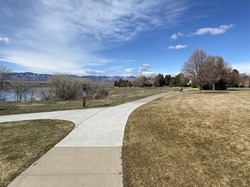
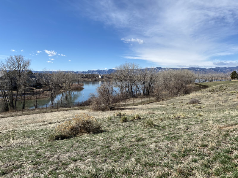
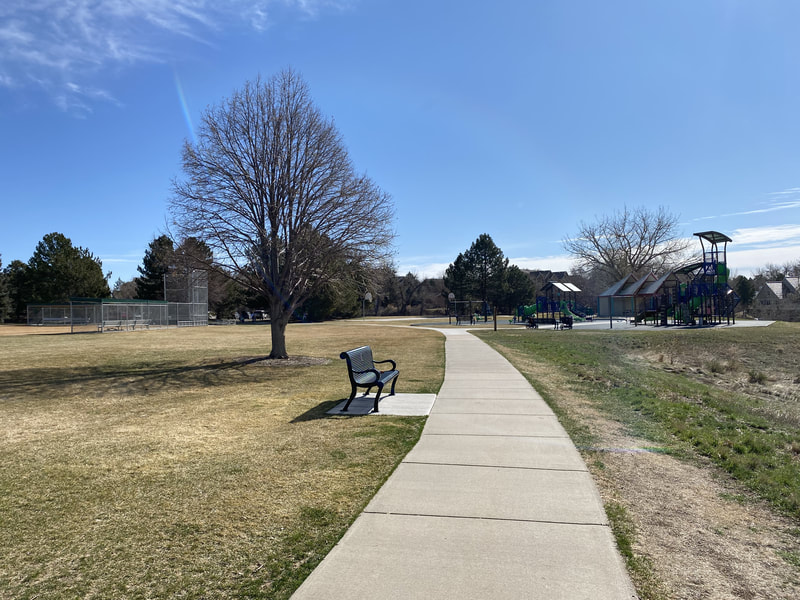
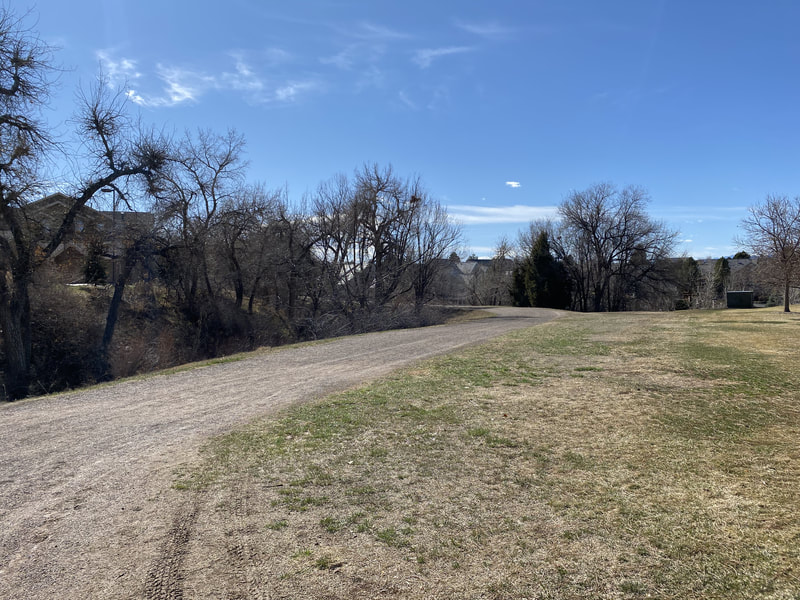
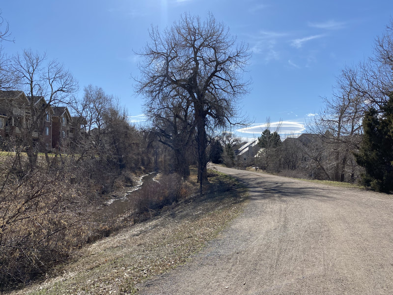
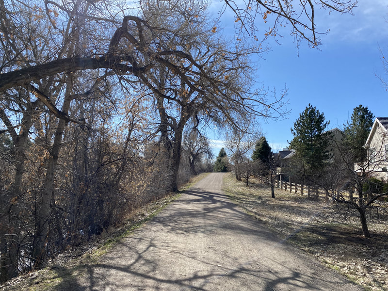
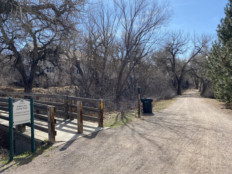
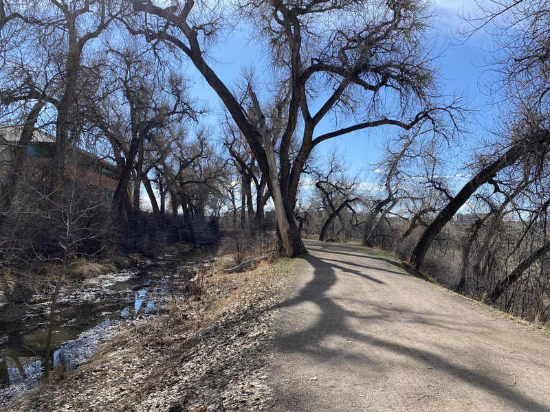
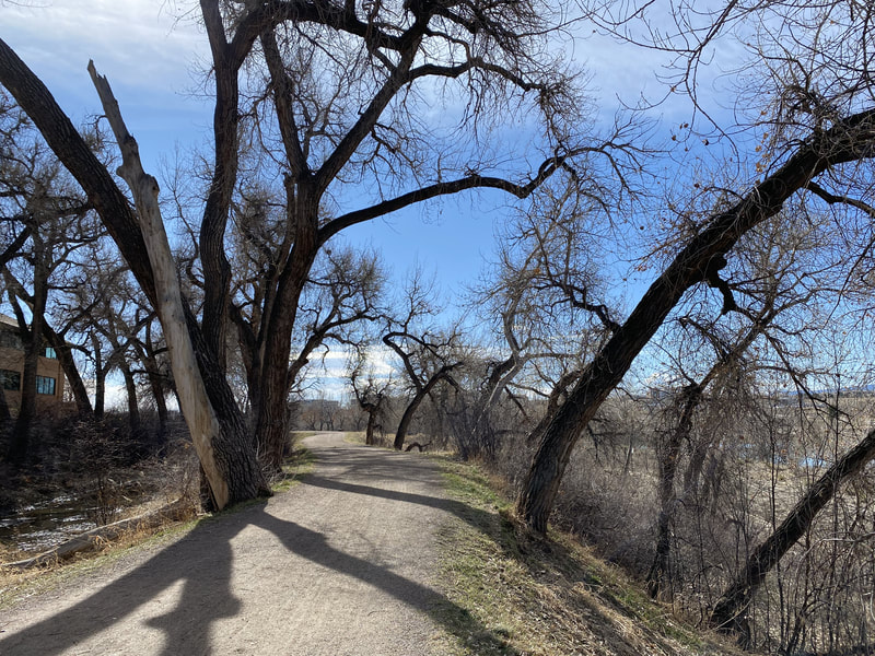
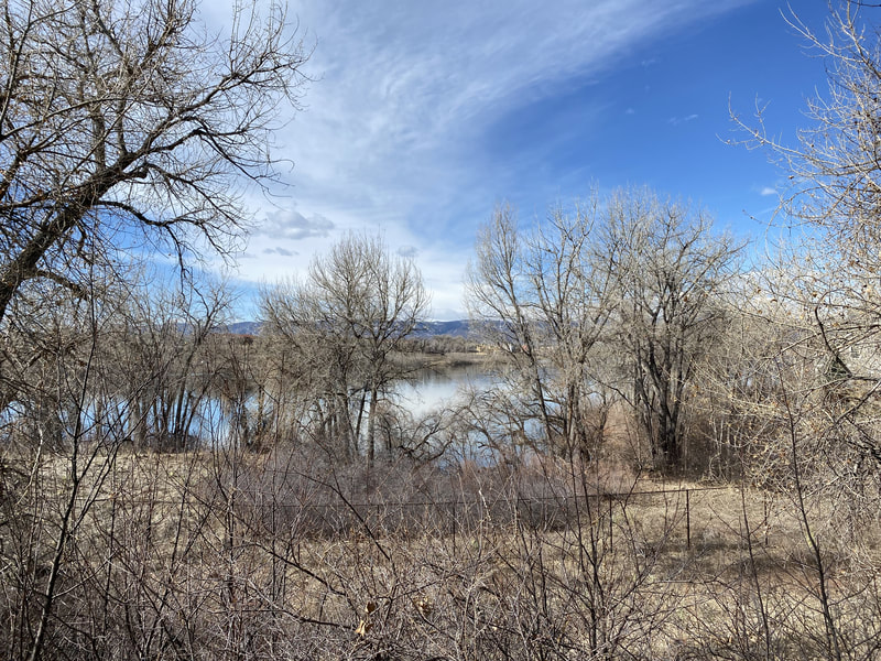
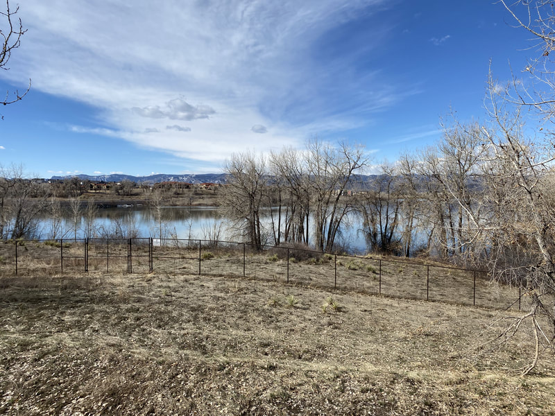
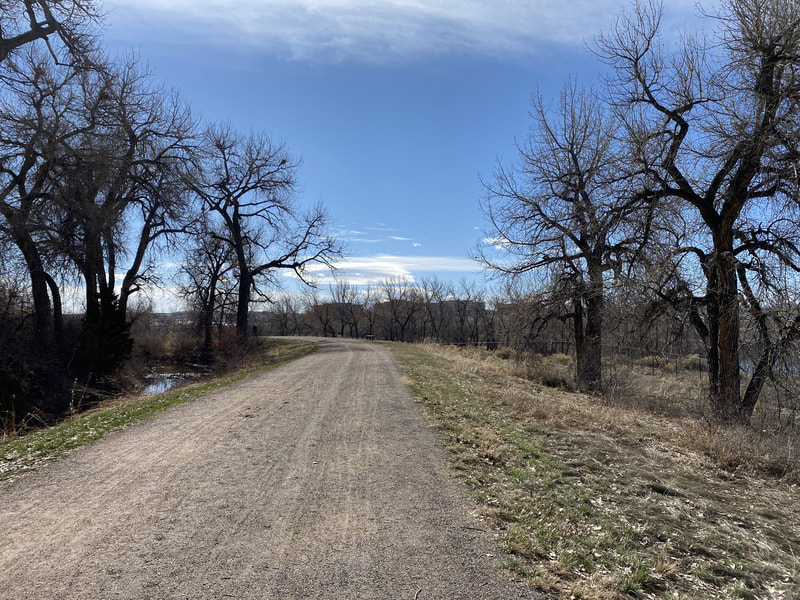
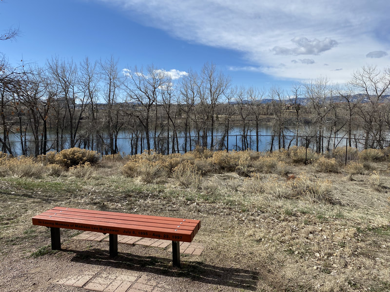
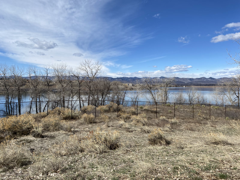
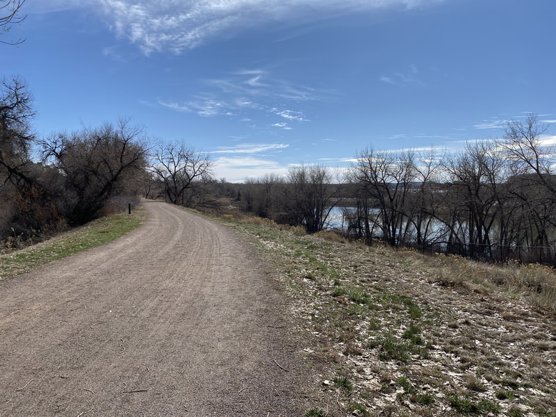
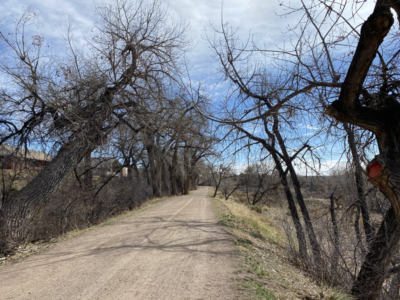
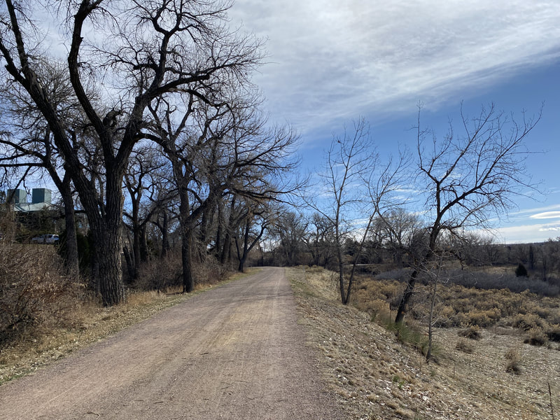
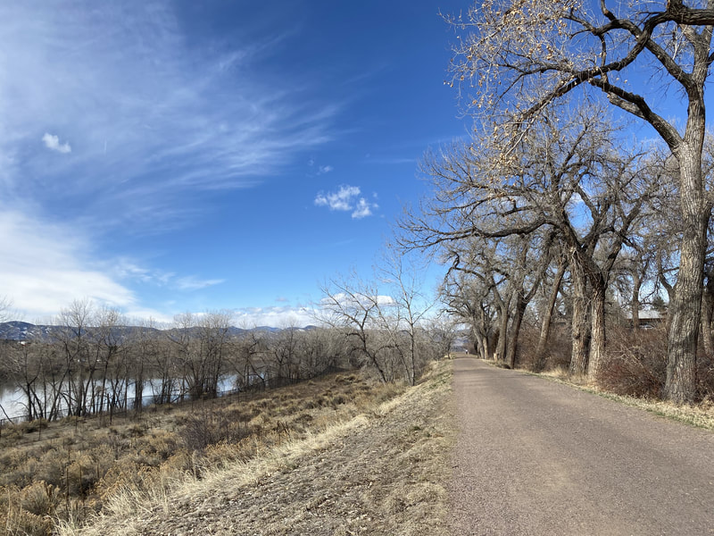
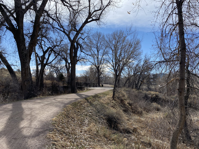
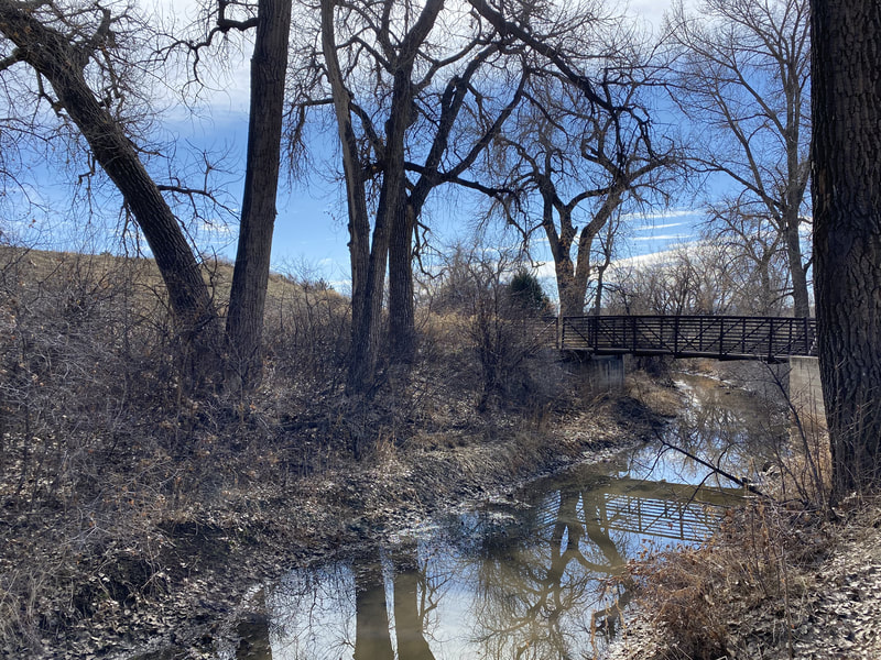
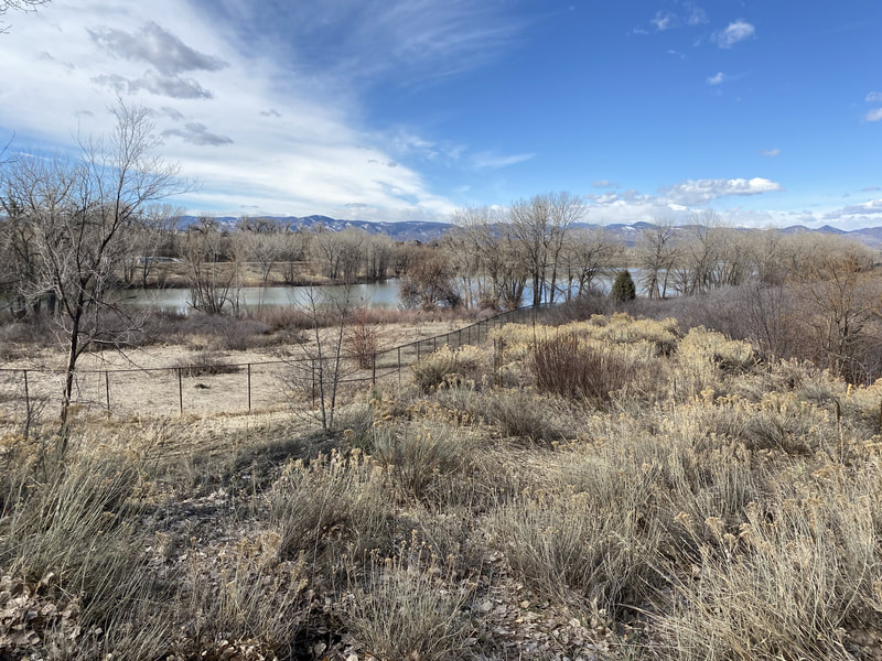
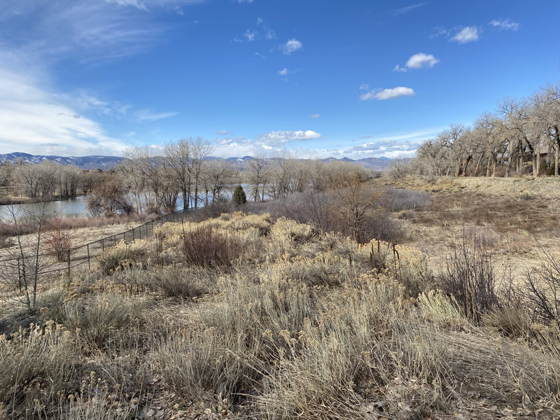
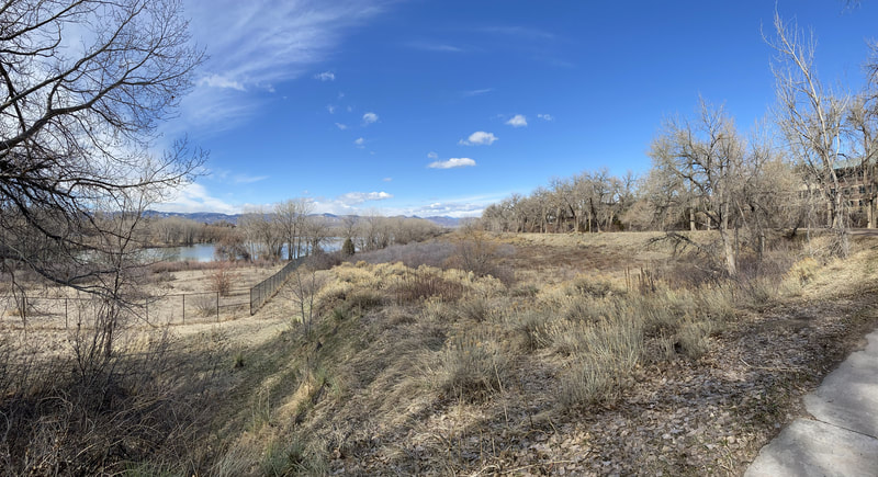
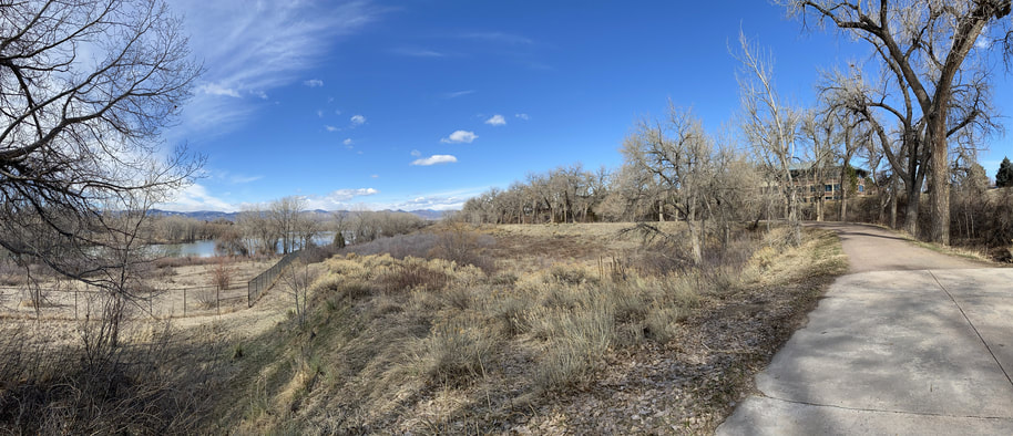
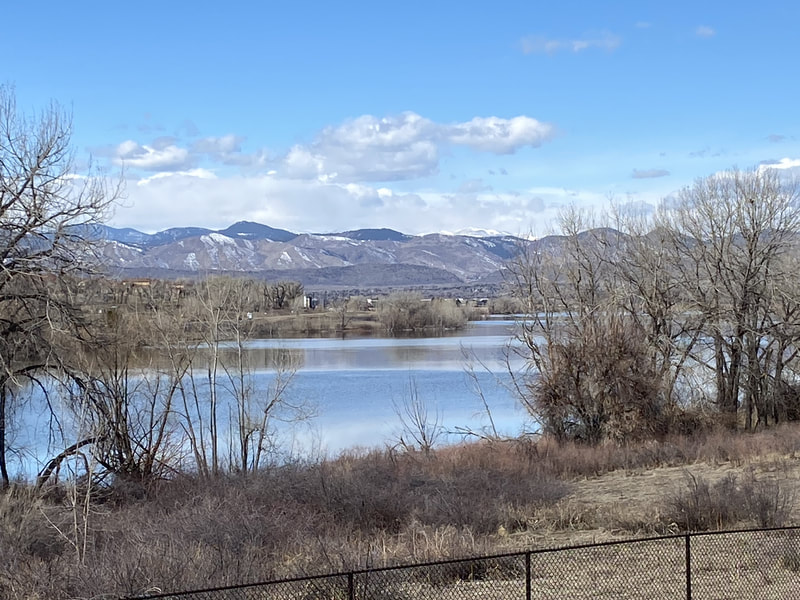
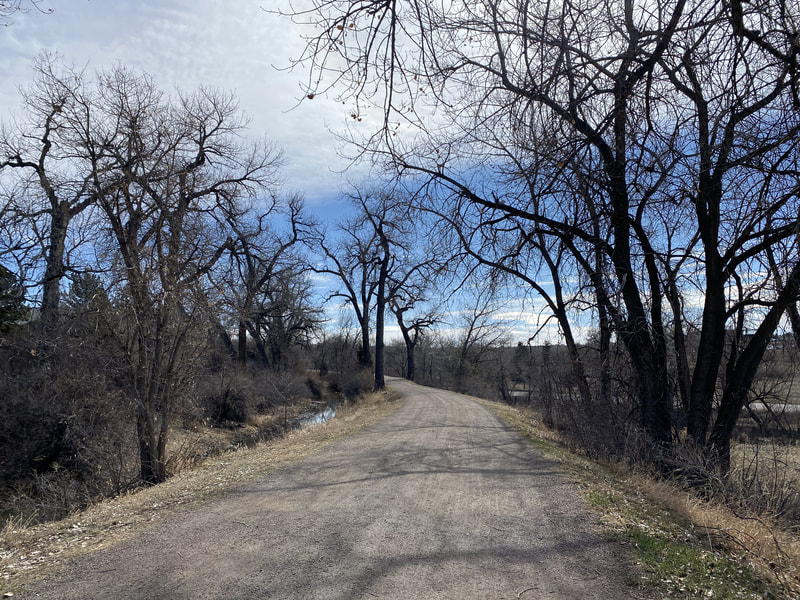
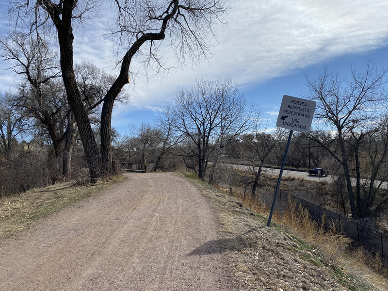
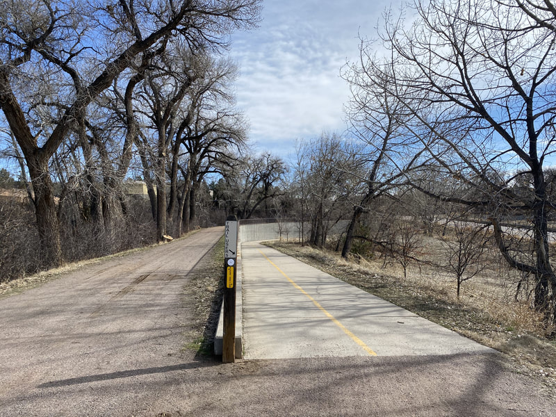
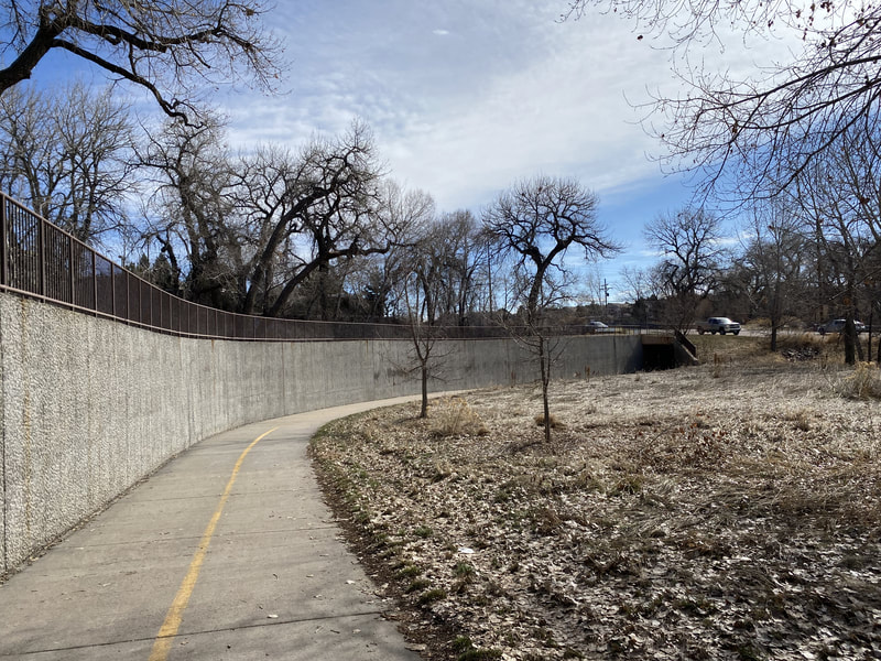
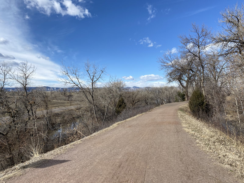
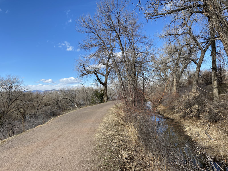
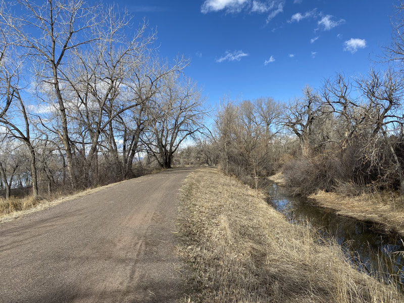
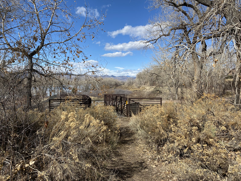
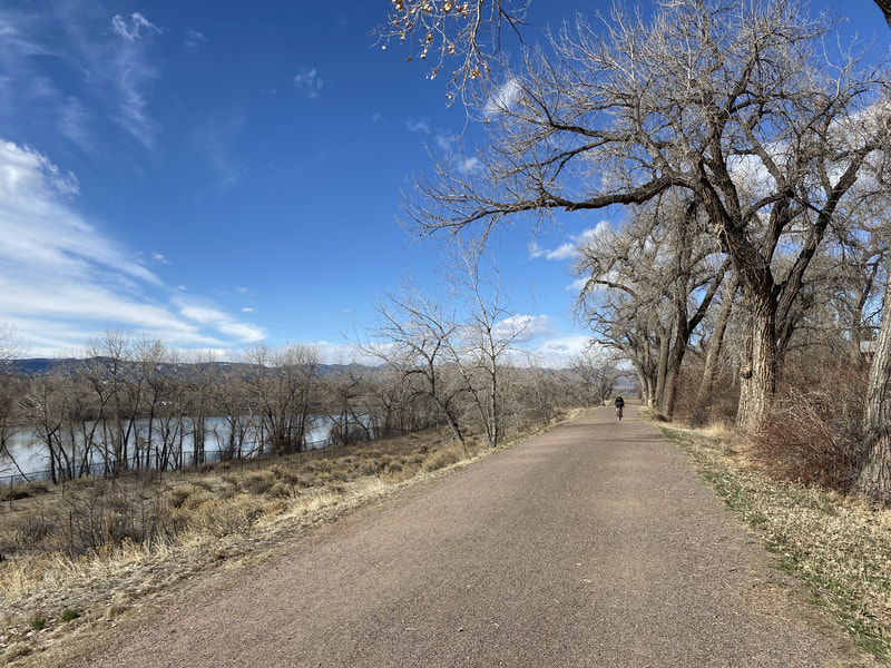
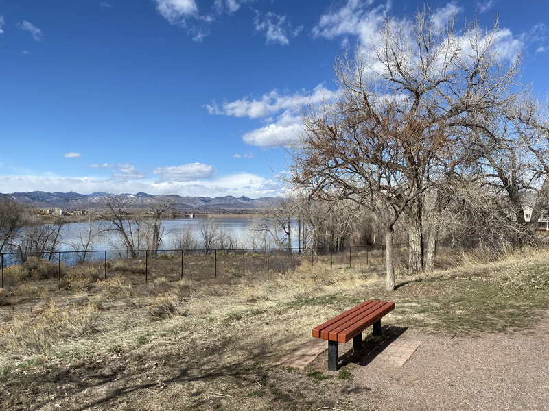
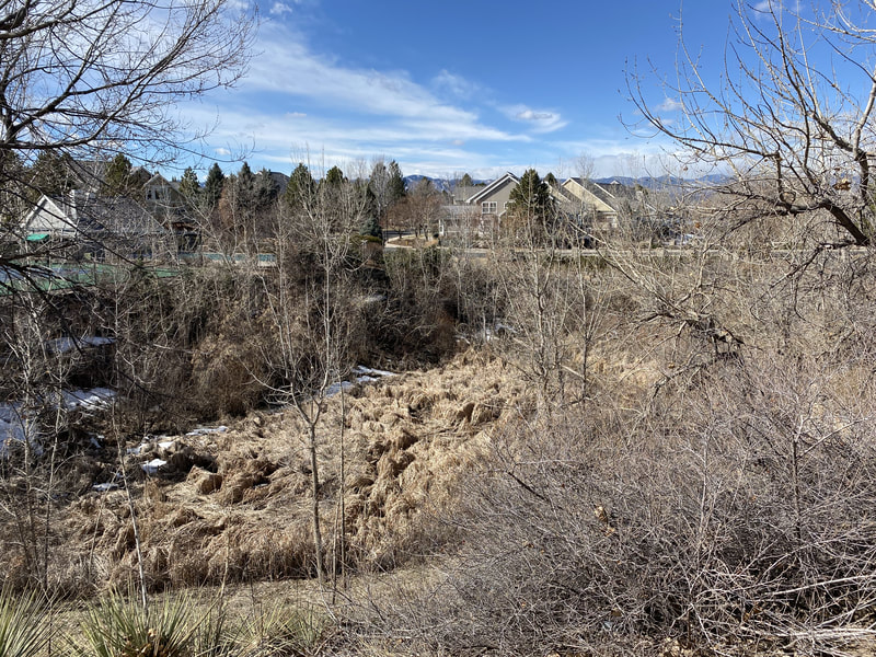
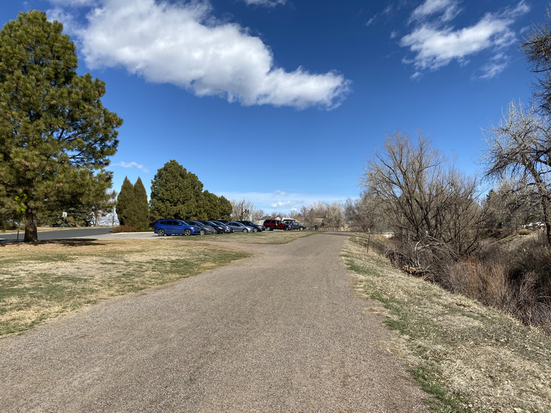
The entire section of trail consists of natural surface/gravel trail which makes it feel more like a hike than a walk. The trail weaves around McLellen Reservoir (no access) so the views of the water, foothills, and Front Range mountains (on a clear day) are beautiful. Furthermore, the majority of the trail is lined with large old growth cottonwood trees so this trail should be spectacular in the fall. The hike starts at Writers Vista Park which is a very nice community park with nice playgrounds, ball fields, and a short section of paved trail with great views. I recommend checking out the park, then returning to the parking lot and jumping onto the High Line Canal Trail. As you head south on the HLC you'll first pass through a residential area with tall beautiful trees lining the trail. After a 1/4 mile you'll leave the residential area and spend the rest of the hike hugging the eastern shore of McLellen Reservoir. The views beyond the trees are very scenic and on clear days you'll have a nice view of Mt. Evans. The trail follows the bluff above the shoreline down to County Line Road where it continues via an underpass. |
- HOME
- ABOUT
-
HIKES BY REGION
-
NATIONAL PARK HIKES
- BENT'S OLD FORT NATIONAL HISTORIC SITE
- BLACK CANYON OF THE GUNNISON NATIONAL PARK
- COLORADO NATIONAL MONUMENT
- CURECANTI NATIONAL RECREATION AREA
- DINOSAUR NATIONAL MONUMENT
- FLORISSANT FOSSIL BEDS NATIONAL MONUMENT
- MESA VERDE NATIONAL PARK
- ROCKY MOUNTAIN NATIONAL PARK
- GREAT SAND DUNES NATIONAL PARK
- HOVENWEEP NATIONAL MONUMENT
- SAND CREEK MASSACRE NATIONAL HISTORIC SITE
- YUCCA HOUSE NATIONAL MONUMENT
- HIKES BY CATEGORY
- NEWS
- WEBCAMS
- $UPPORT GHC
- INTERACTIVE MAP
High Line Canal Trail
McLellen Reservoir
(Writer's Vista Park to County Line Road)
Date Hiked: March 10, 2020
Distance: 2 mi (RT)
Elevation Gain: Minimal
Elevation: 5,496 ft
Trailhead Lat/Long: 39º 34' 20" N; 105º 00' 38" W
Managing Agency: S. Suburban Parks & Rec. District
Fee: None

