|
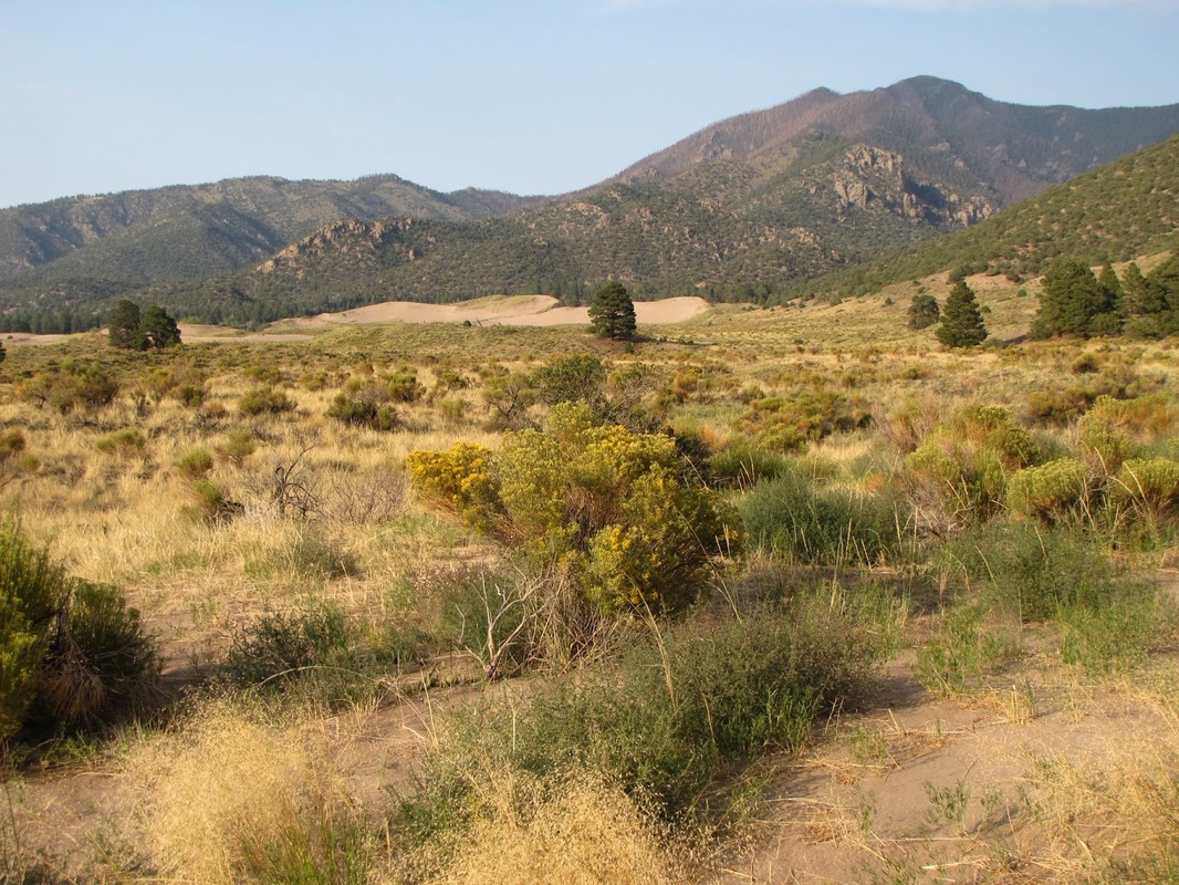
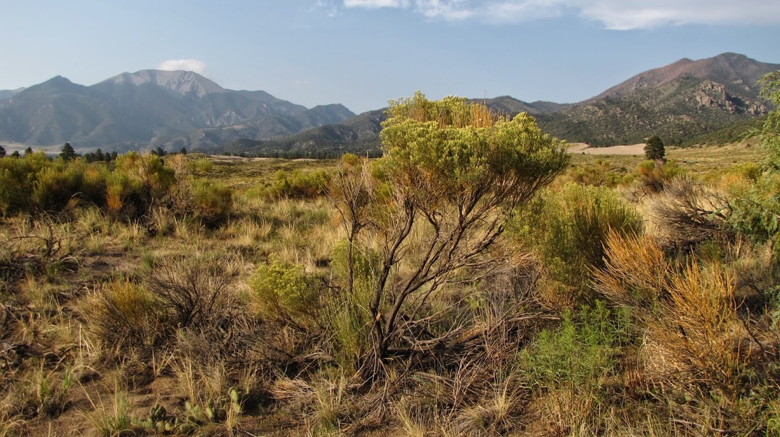
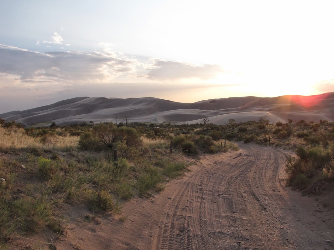
Directions: This trail starts from the Point of No Return Trailhead. From the park visitor center, follow the main park road until just before the Pinyon Flats campground. Here the road will become a dirt road, there may be some drifts of sand, but the road is good for most SUVs and some passenger cars. Take this road until you reach the "Point of No Return" from this point on-ward 4x4 Jeep is required, but some SUVs can make it. For this hike, start hiking at the Point of No Return Trail head, there is a small parking area.
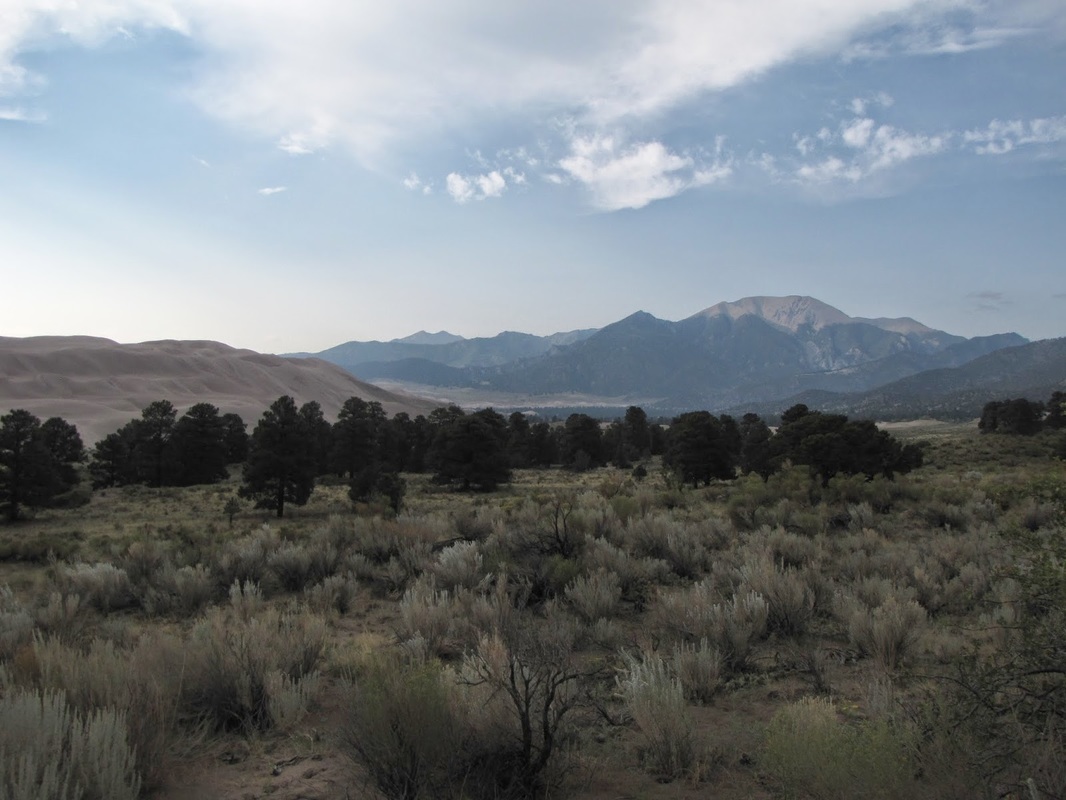
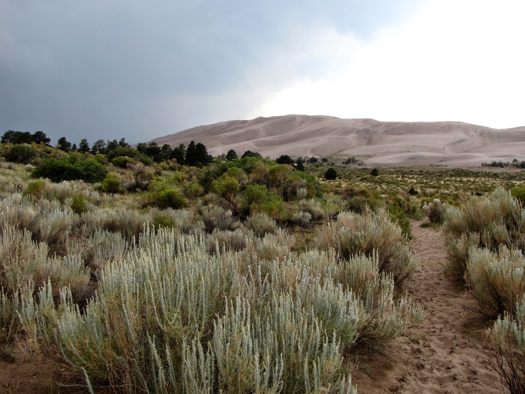
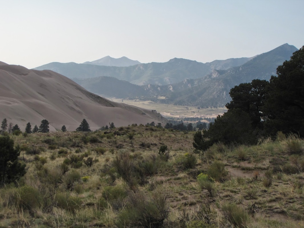
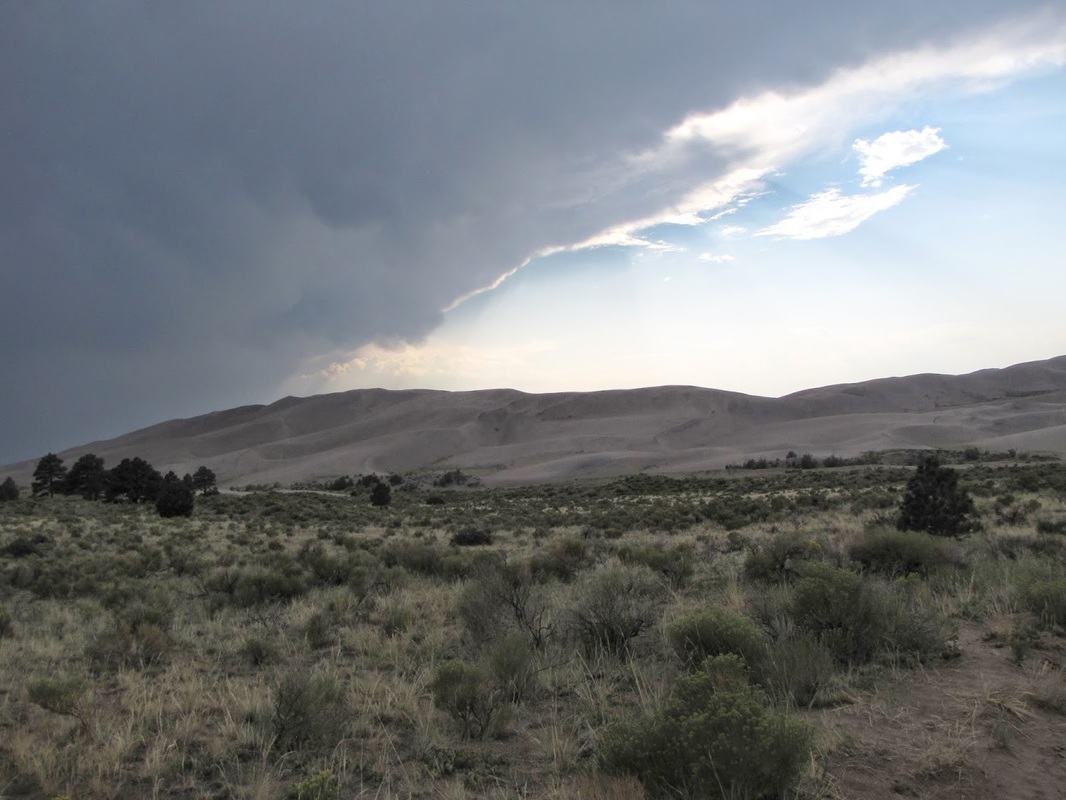
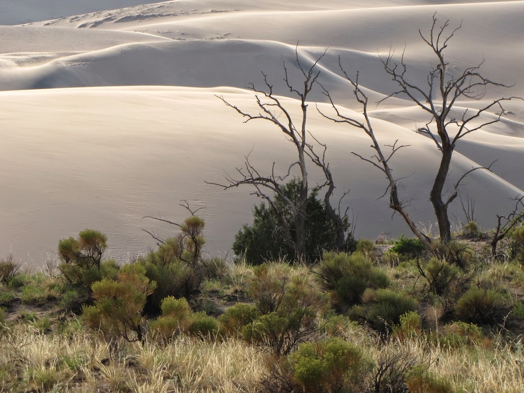
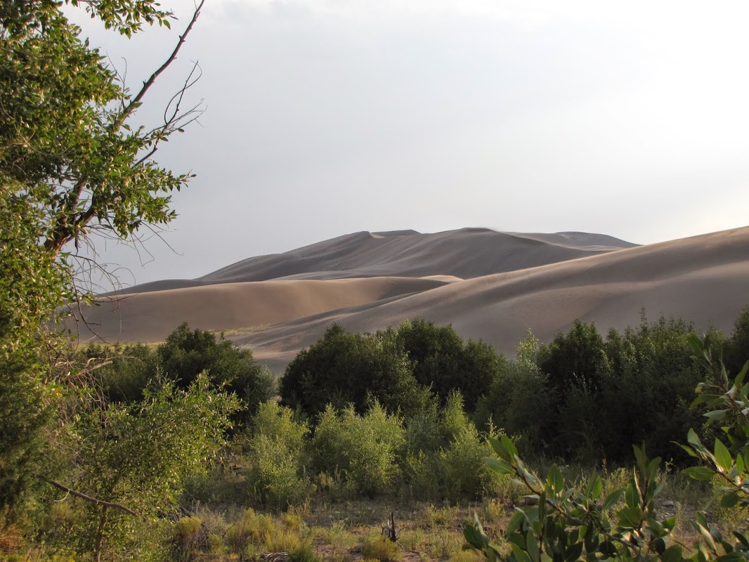
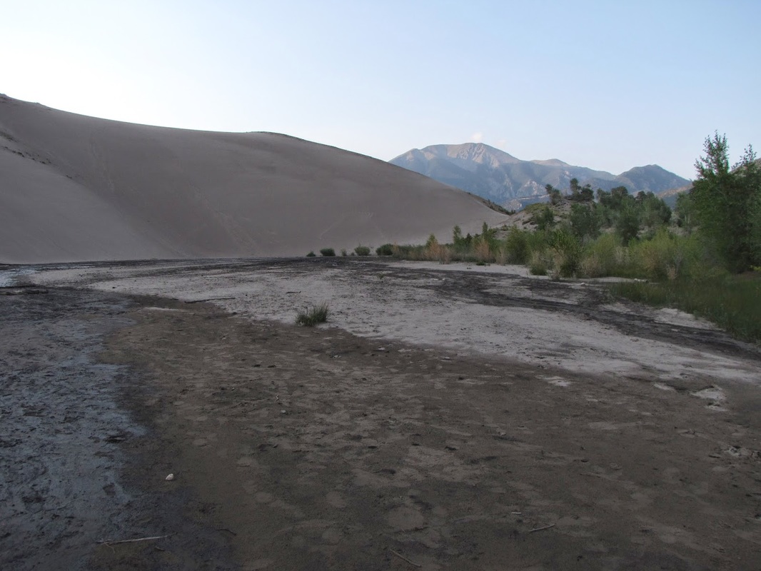
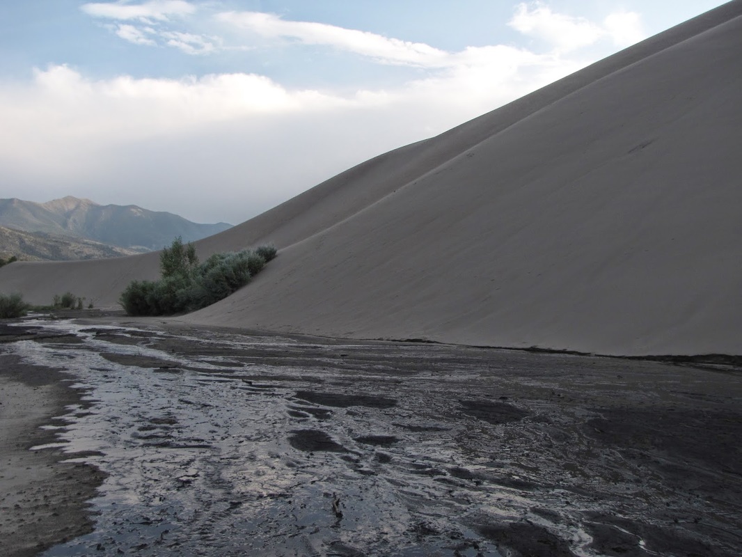
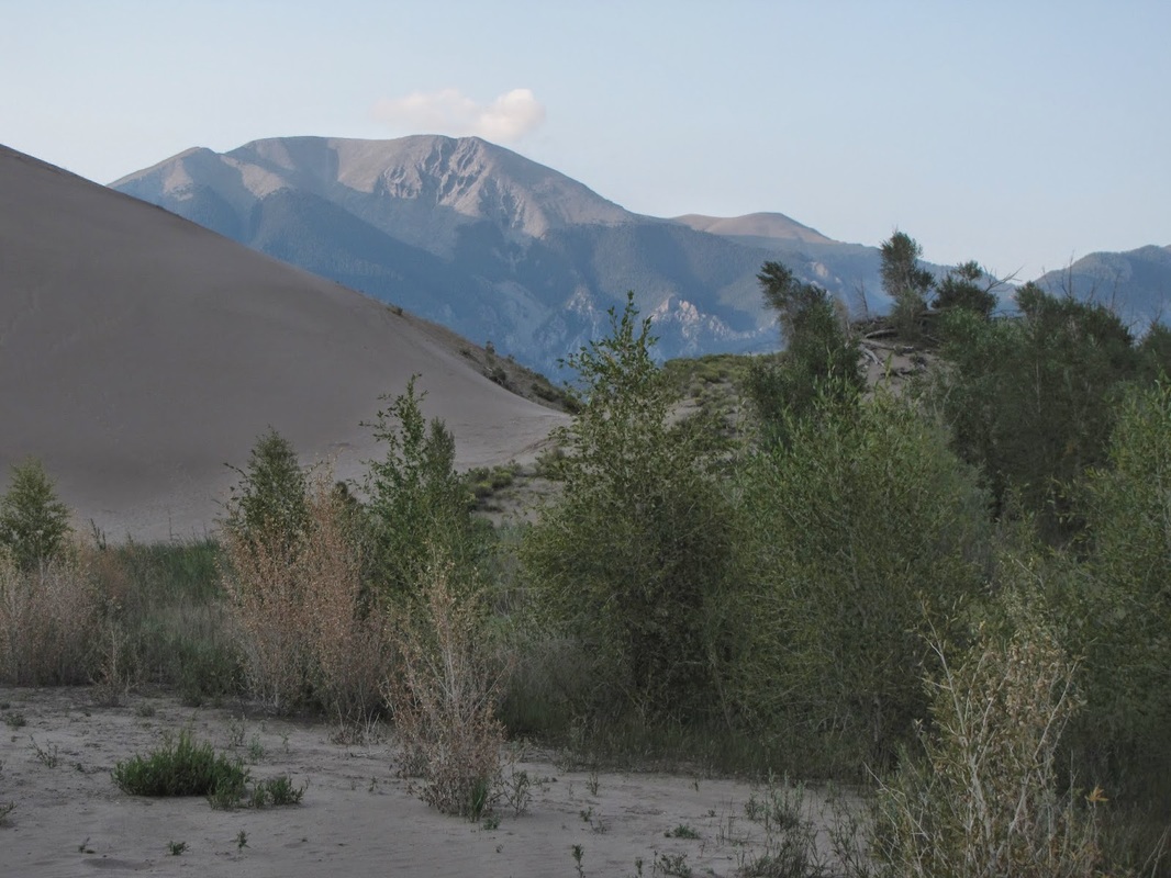
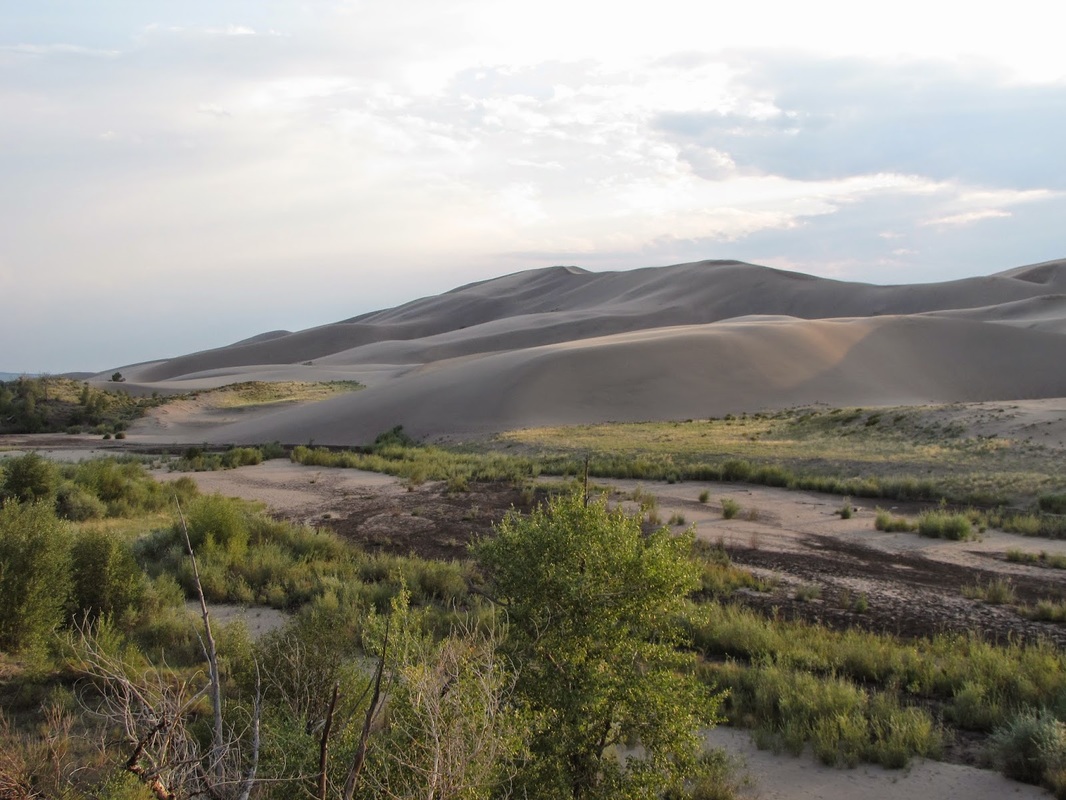
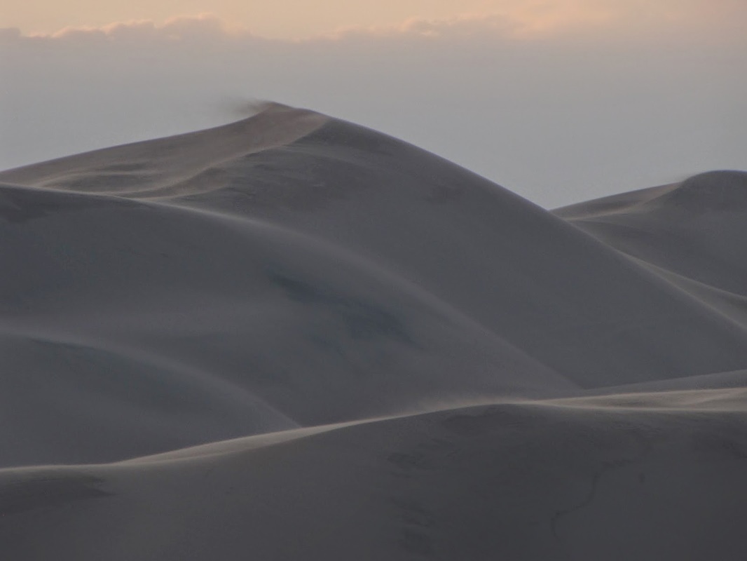
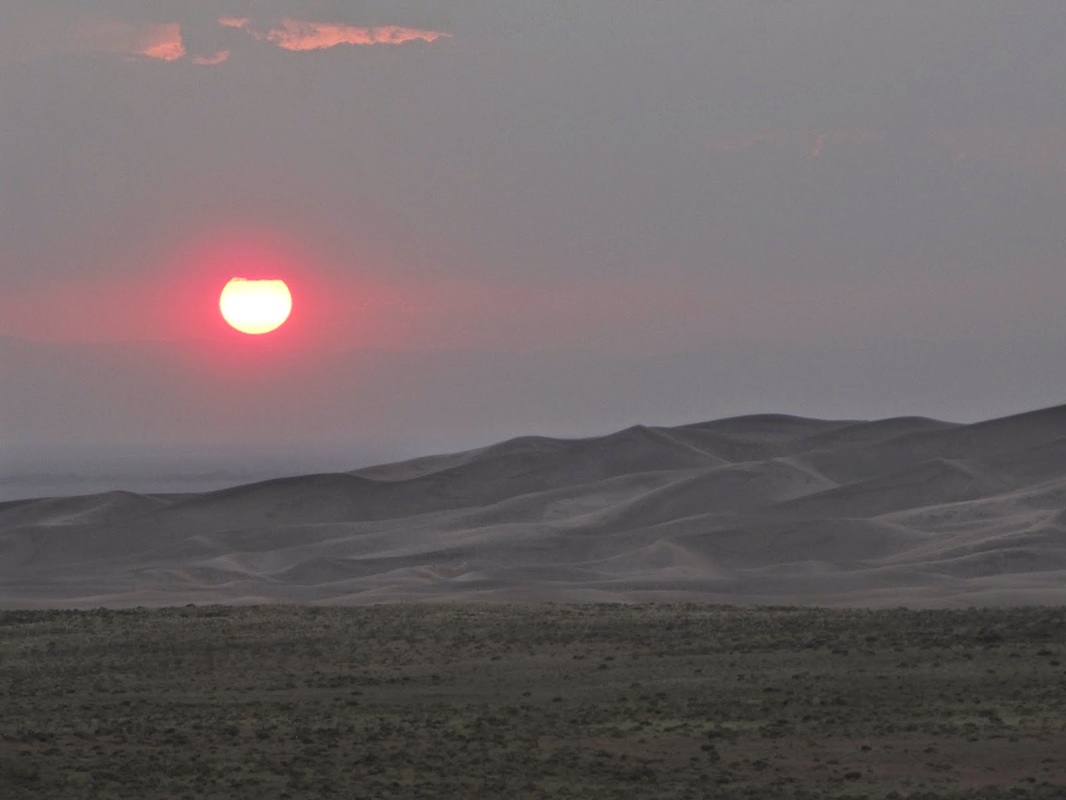
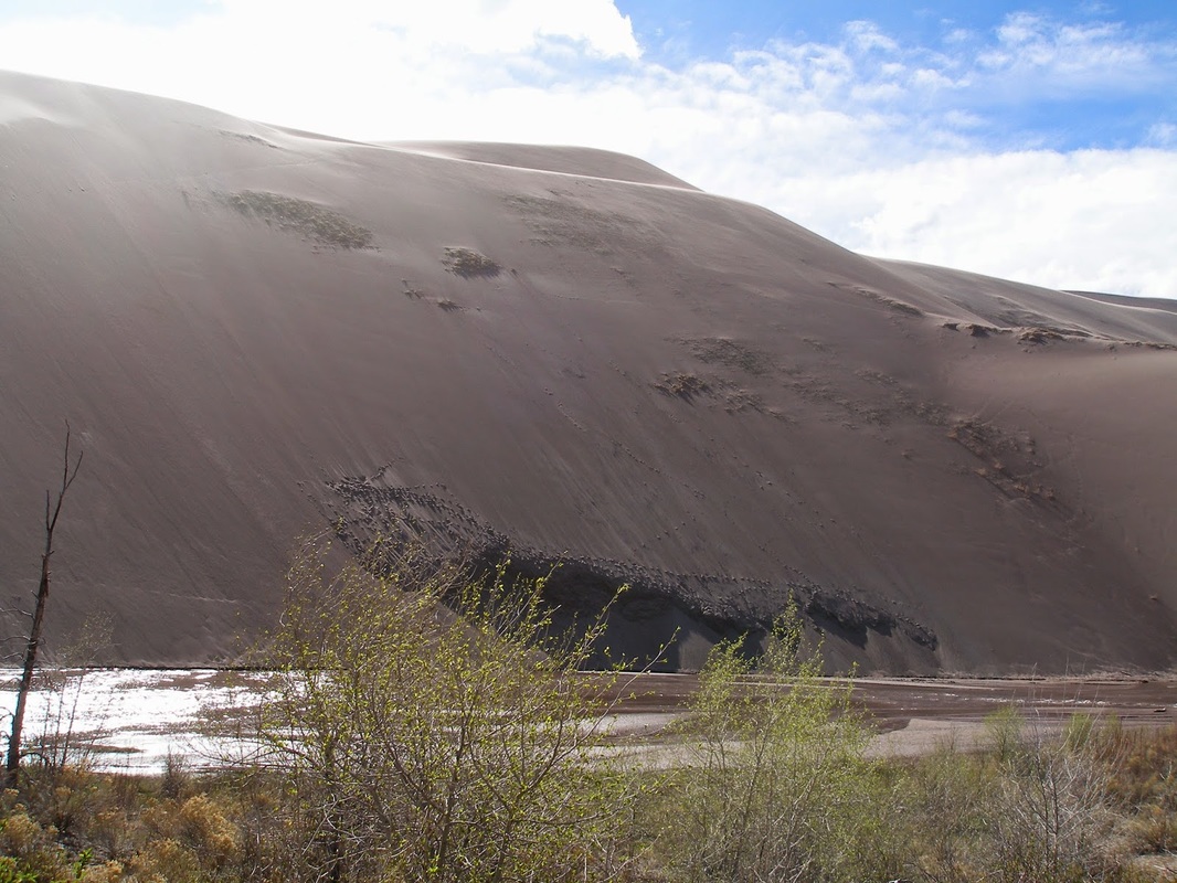
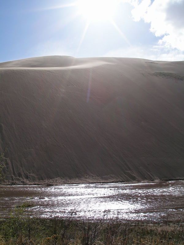
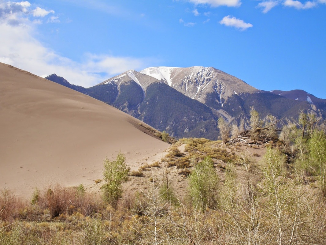
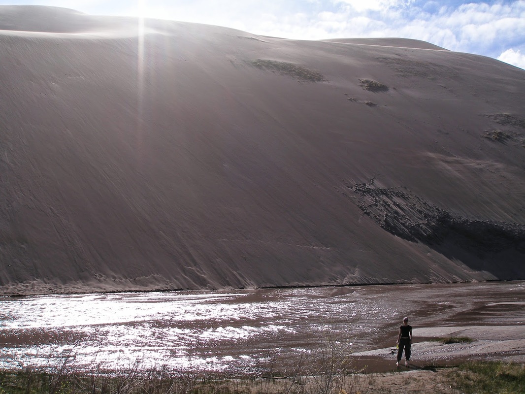
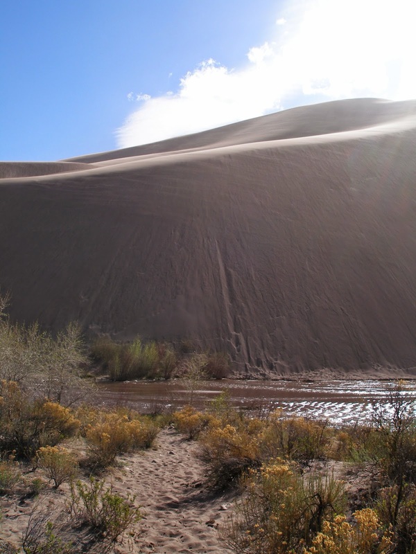
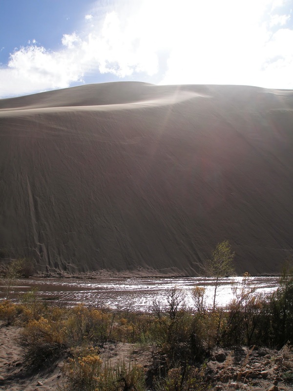
From the Point of No Return look for a small trail sign pointing to Sand Pit. This trail is fantastic, it is all downhill and gives you a phenomenal view of the sand dunes. Once you reach Sand Pit, a picnic/parking area, follow the Dirt/Sand road for about .75 of a mile. The road is nice to walk along and the wonderful views continue. After .75 of a mile you'll reach Castle Creek Picnic Area. Take one of the small social trails a few feet down to where Castle Creek meets Medano Creek. This is my favorite spot in the park and one that most visitors never see. The Castle Creek area is a bend in the river with a huge (hundreds of feet) high cliff of sand dune. It's hard to describe so see the pictures below. I suggest getting here at the end of the day just before sunset, there will be no off-roaders or other visitors and you'll have peace and quiet in an incredible area. When ready, head back up the road to the Point of No Return. |
|
- HOME
- ABOUT
-
HIKES BY REGION
-
NATIONAL PARK HIKES
- BENT'S OLD FORT NATIONAL HISTORIC SITE
- BLACK CANYON OF THE GUNNISON NATIONAL PARK
- COLORADO NATIONAL MONUMENT
- CURECANTI NATIONAL RECREATION AREA
- DINOSAUR NATIONAL MONUMENT
- FLORISSANT FOSSIL BEDS NATIONAL MONUMENT
- MESA VERDE NATIONAL PARK
- ROCKY MOUNTAIN NATIONAL PARK
- GREAT SAND DUNES NATIONAL PARK
- HOVENWEEP NATIONAL MONUMENT
- SAND CREEK MASSACRE NATIONAL HISTORIC SITE
- YUCCA HOUSE NATIONAL MONUMENT
- HIKES BY CATEGORY
- NEWS
- WEBCAMS
- $UPPORT GHC
- INTERACTIVE MAP
Castle Creek via Point of no Return
Great Sand Dunes National Park & Preserve
Date Hiked: August 2012
Distance: 2.5 mi (RT)
Elevation Gain: 500ft
Managing Agency: National Park Service
Fee: Yes