GO HIKE COLORADO
Get in Touch:
  • HOME
  • ABOUT
  • HIKES BY REGION
    • DENVER AREA >
      • Denver Mountain Parks
      • Jefferson County Open Space
      • Lakewood Parks
      • Denver Area Greenways
    • BOULDER AREA
    • DOUGLAS COUNTY
    • FORT COLLINS AREA
    • COLORADO SPRINGS AREA
    • FRONT RANGE
    • TENMILE & MOSQUITO RANGES
    • GORE RANGE
    • SANGRE DE CRISTO MOUNTAINS
    • PARK RANGE
    • SAWATCH RANGE
    • ELK MOUNTAINS
    • SAN JUAN MOUNTAINS
    • THE FLAT TOPS
    • GRAND MESA
    • COLORADO PLATEAU
    • EASTERN PLAINS
  • NATIONAL PARK HIKES
    • BENT'S OLD FORT NATIONAL HISTORIC SITE
    • BLACK CANYON OF THE GUNNISON NATIONAL PARK
    • COLORADO NATIONAL MONUMENT
    • CURECANTI NATIONAL RECREATION AREA
    • DINOSAUR NATIONAL MONUMENT
    • FLORISSANT FOSSIL BEDS NATIONAL MONUMENT
    • MESA VERDE NATIONAL PARK
    • ROCKY MOUNTAIN NATIONAL PARK
    • GREAT SAND DUNES NATIONAL PARK
    • HOVENWEEP NATIONAL MONUMENT
    • SAND CREEK MASSACRE NATIONAL HISTORIC SITE
    • YUCCA HOUSE NATIONAL MONUMENT
  • HIKES BY CATEGORY
    • HIKES TO ALPINE LAKES
    • HIKES TO PEAKS & PASSES
    • HIKES THROUGH CANYONS
    • HIKES WITH FALL COLORS
    • HIKES ALONG THE I-70 CORRIDOR
    • HIKES ON PAVED TRAILS
    • HIKES FOR KIDS
    • HIKES TO WATERFALLS
    • HIKES ALONG RIVERS
    • HIKES WITH ROCK FORMATIONS
    • HIKES WITH WILDFLOWERS
    • WINTER HIKES
  • NEWS
  • WEBCAMS
  • $UPPORT GHC
  • INTERACTIVE MAP

Hayden > Green Mountain Loop
William F. Hayden Park at Green Mountain

Date Hiked: January 4, 2013

​Distance: 5.13 mi
Elevation Gain: 732ft
Elevation Min/Max: 6,023 to 6,762ft
Managing Agency: Lakewood Parks
Fee: None

Green Mountain Website
Picture

Directions: From Denver take I-70 to C470 east. Exit Alameda Parkway turn left and head east.   Start from either the Florida or Utah Trailheads along Alameda Parkway, however since these  parking areas fill up quickly on the weekends, you can start from the trailhead at the intersection of Alameda Parkway and Bear Creek Blvd.  There is only a small parking area for this trailhead and it does not have an official name, but it is the trail access just after the Forsberg Park trailhead. 

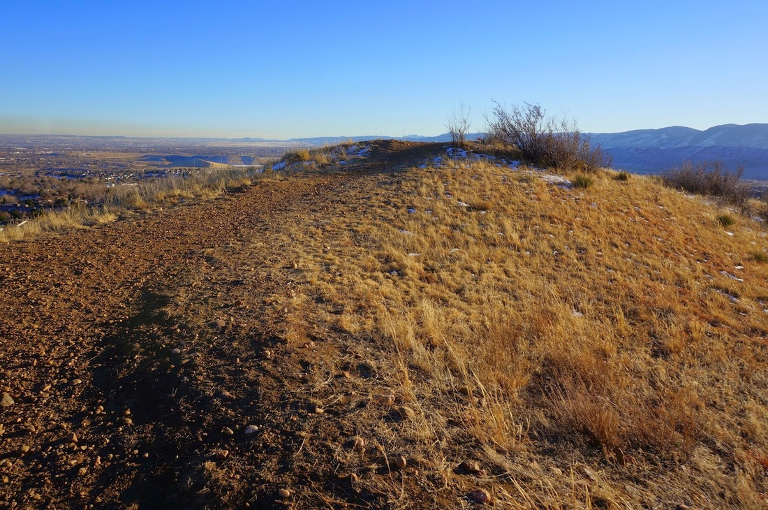
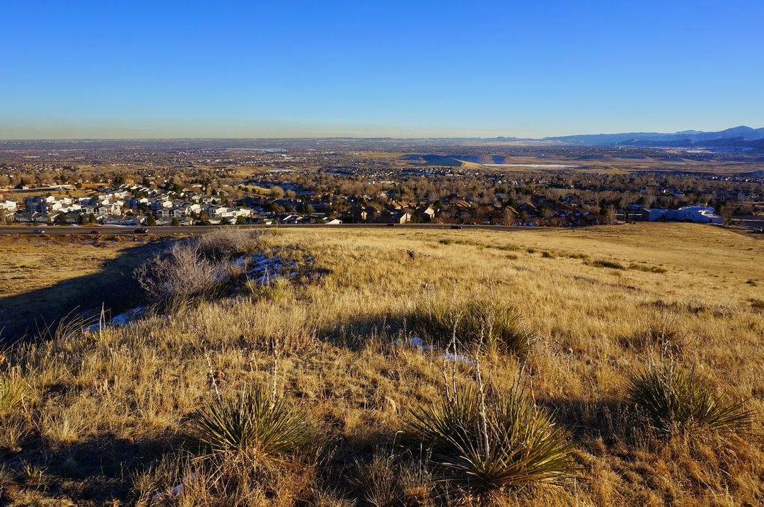
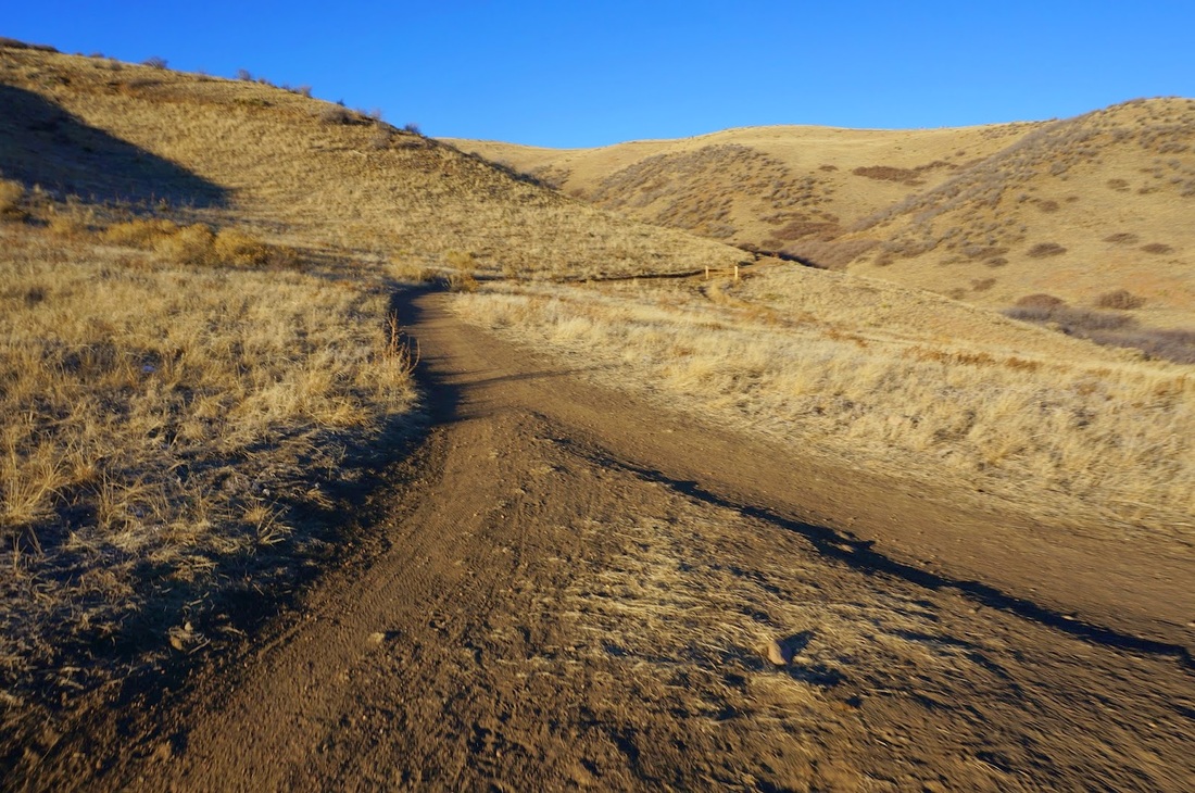
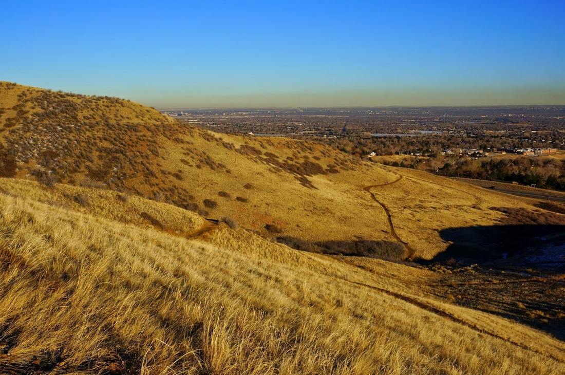
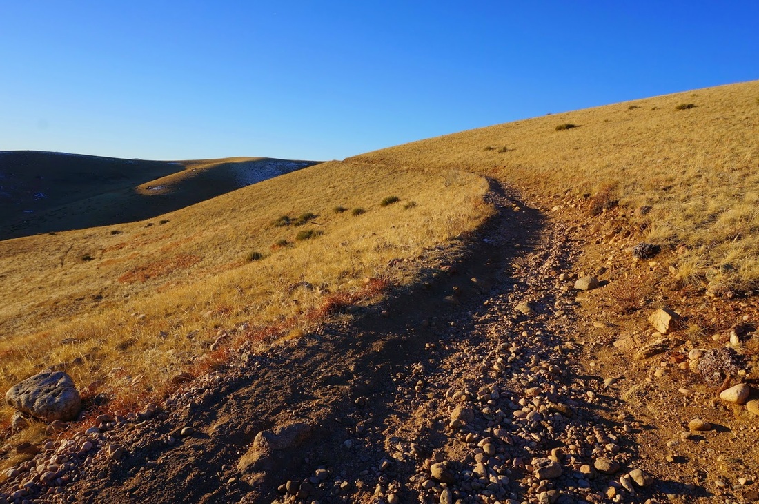
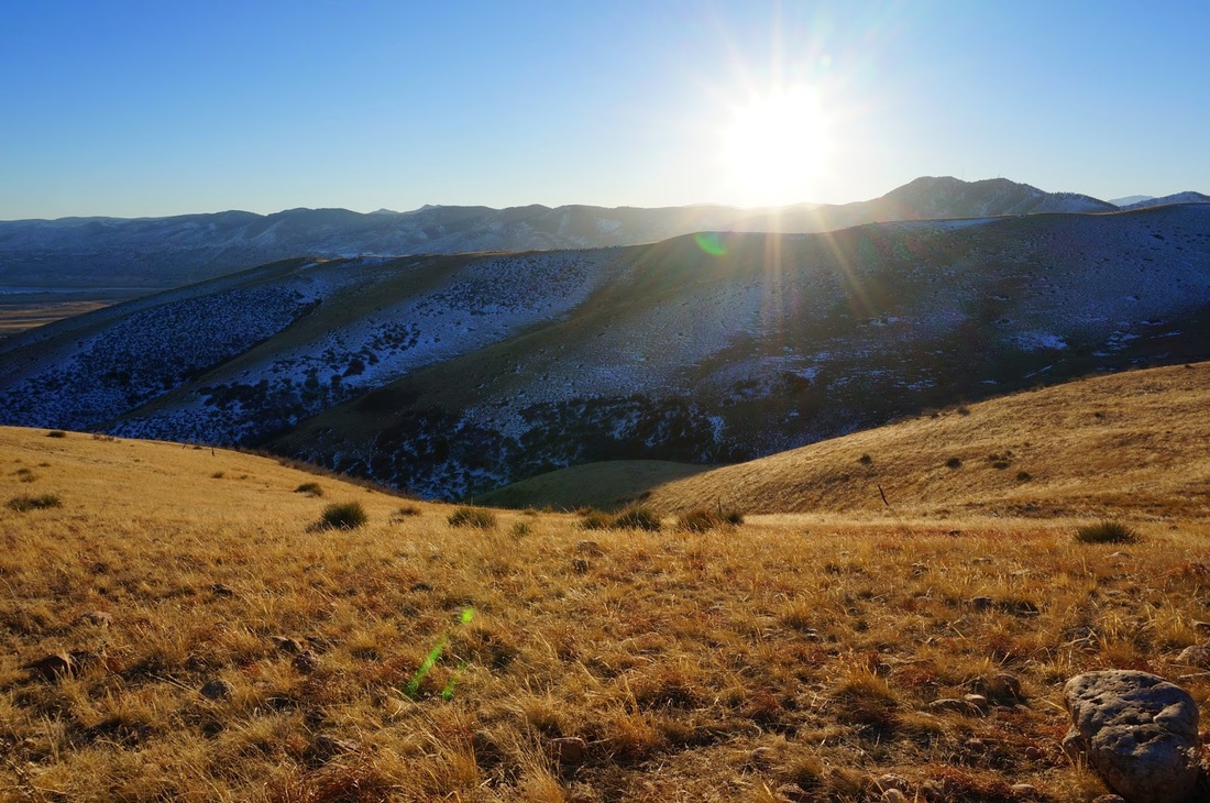
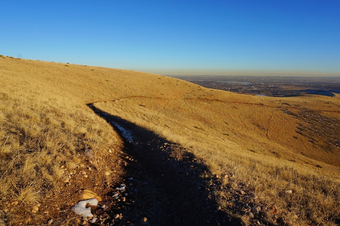
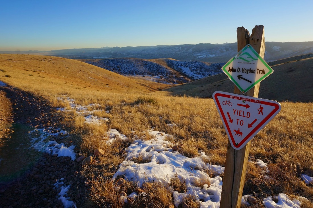
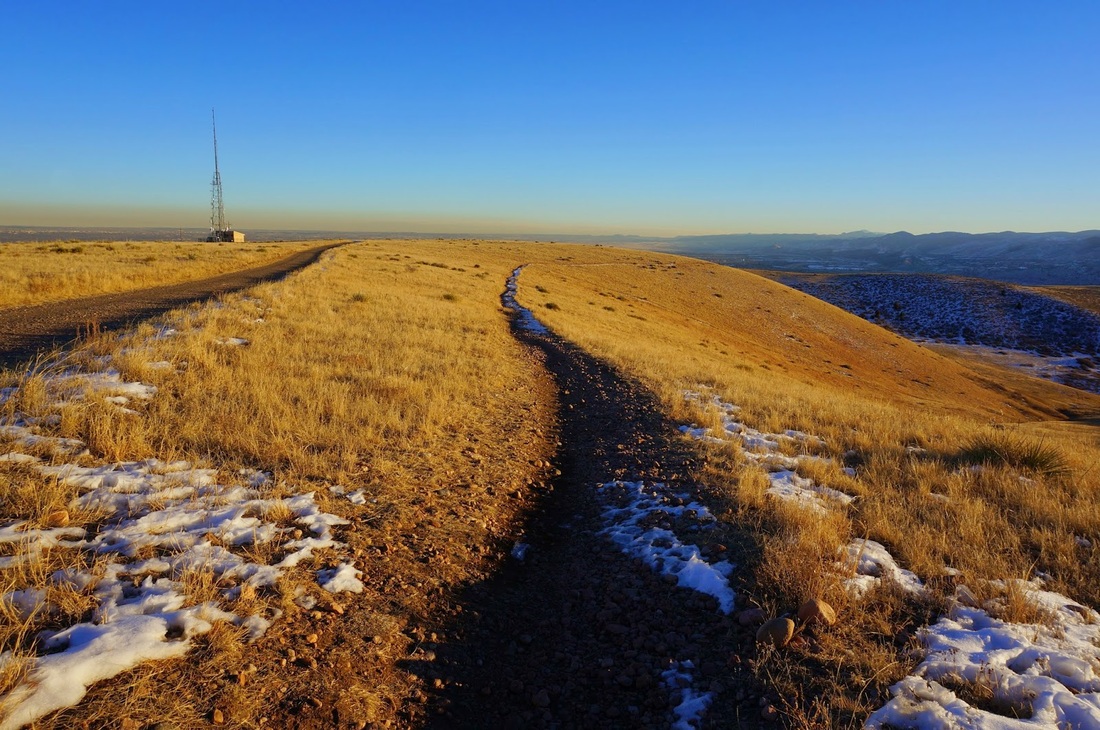
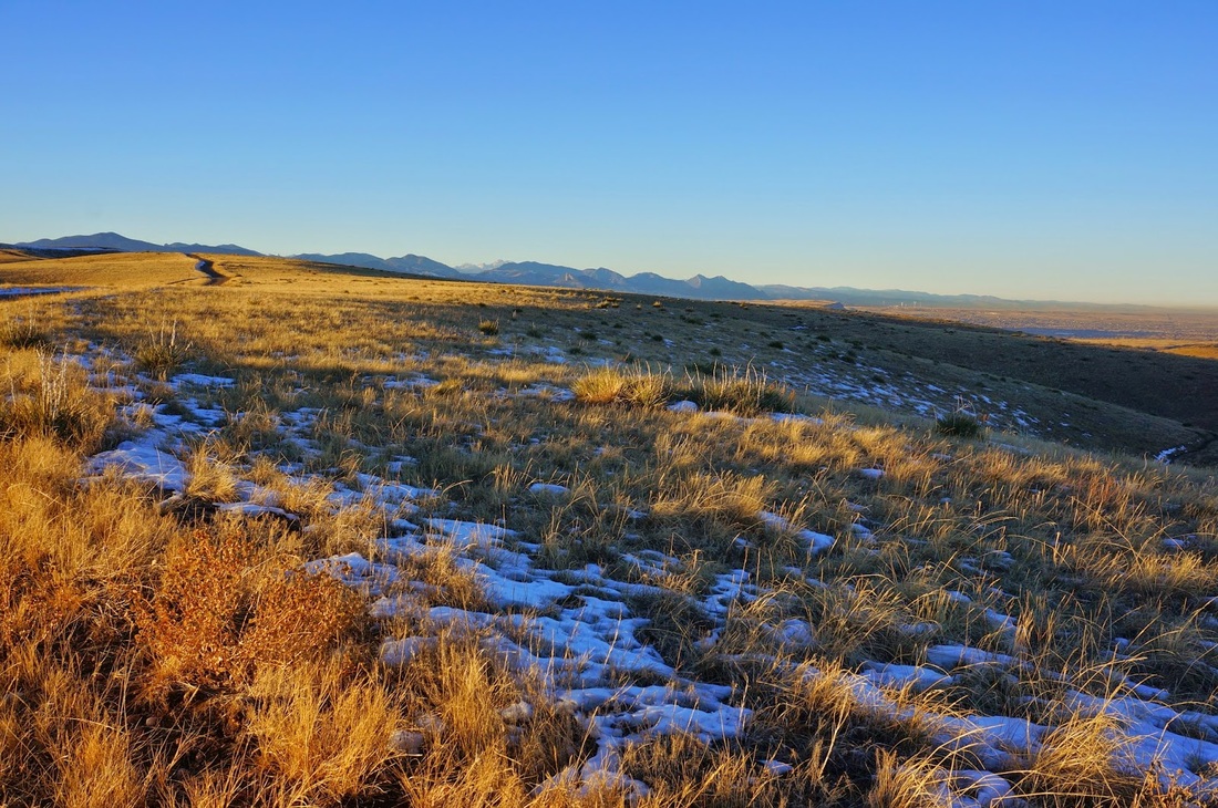
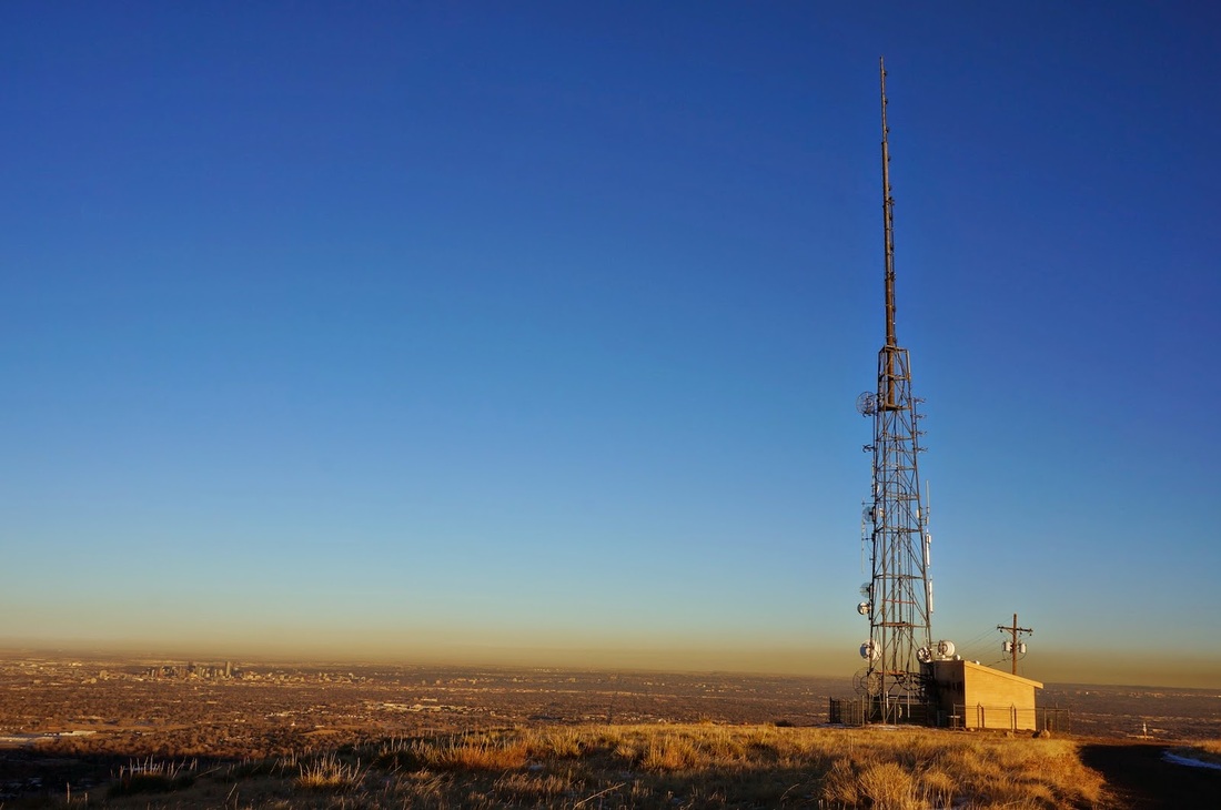
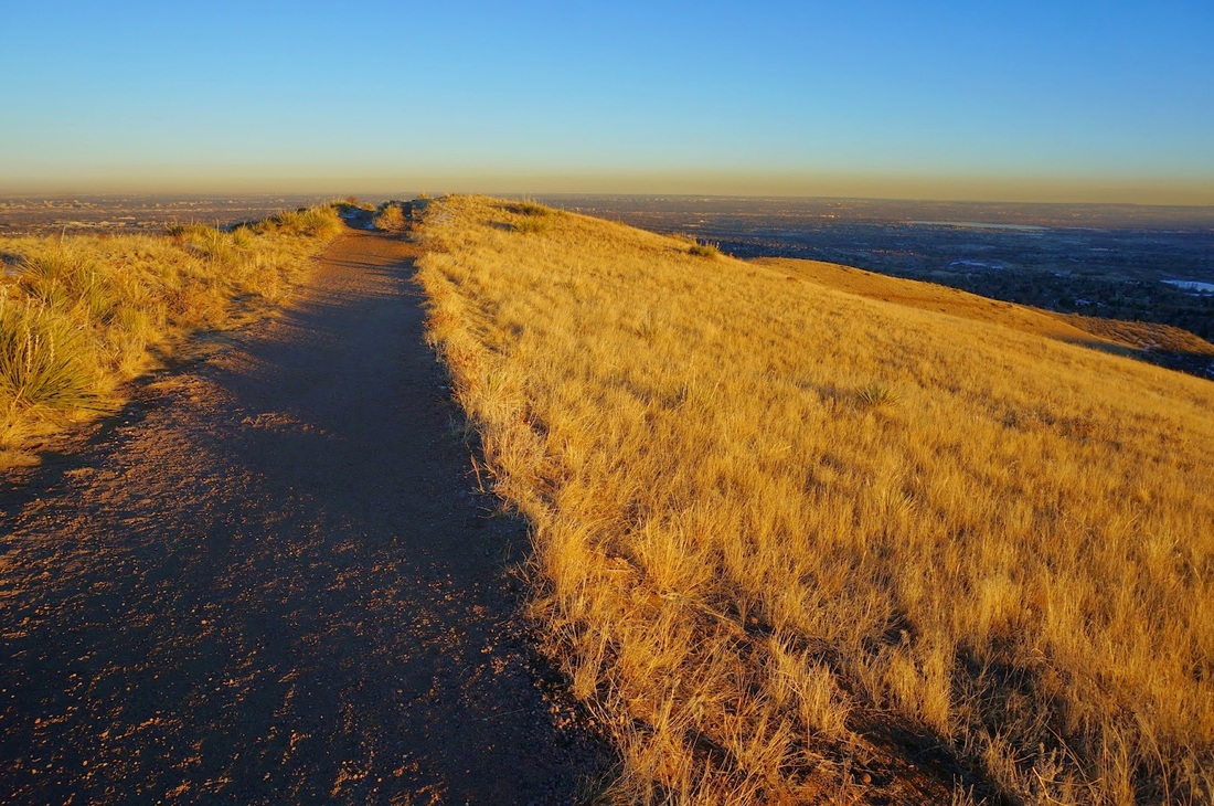
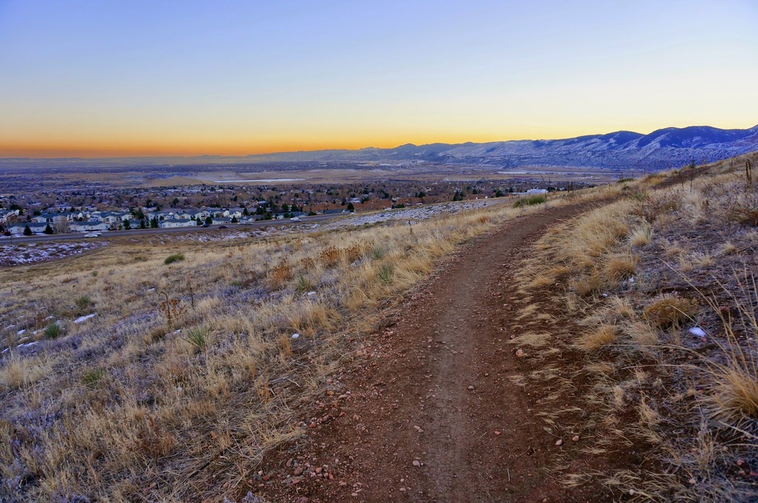
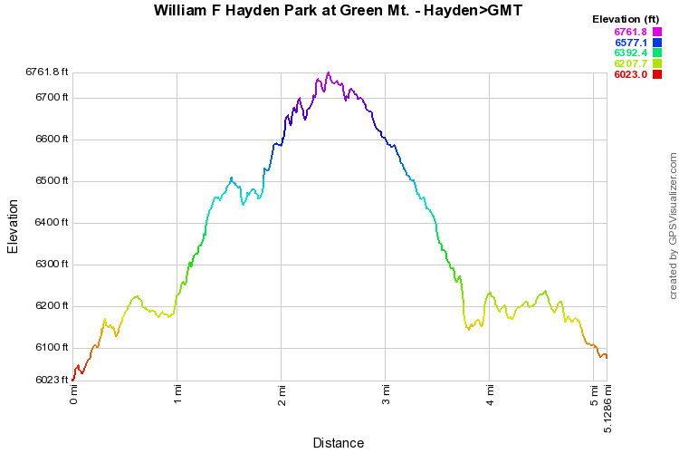
DUE TO RECENT CHANGES AT THE PARK, THIS TRAILHEAD MAY NO LONGER BE ACCESSIBLE. USE TRAILHEAD AT UTAH STREET INSTEAD.(SEE MAP LINK ABOVE)
 
From the trailhead start heading north on the access trail and make a right onto the Green Mountain Trail at the 4 way intersection.  Follow the Green Mountain Trail to the Hayden Trail uphill from the Utah Parking lot and turn left heading up to the top of Green Mountain.  

The trail is very popular, but it also highly scenic.  Follow the trail up the south side of the mountain, cross behind a tree-lined gully and eventually you will pop up on the top of Green Mountain where the Hayden Trail meets the Green Mountain Trail.  Make a sharp right and head towards the Radio Tower.  At the Radio Tower, continue on the Green Mountain Trail by bearing right when it meets the Summit Loop.  Follow the Green Mountain Trail down a gully to the Florida Parking lot.  Cross the lot and pick p the trail again on the west side of the lot.  The trail will continue to the junction with the Hayden trail and continue straight back to the access trail and the unnamed trailhead.
This is the most popular part of the park but it is also the quickest way up to the top of Green Mountain.
© Go Hike Colorado, 2020.  All Rights Reserved. 
Use of photographs without prior authorization is
​strictly prohibited.


Contact us at:
[email protected]
Legal Disclaimer - Information provided on this site is based upon our own observations, always double check information with the appropriate land management agency before heading into the backcountry.  Backcountry travel is inherently dangerous, please take all proper precautions.  Go Hike Colorado is not responsible for injury or incident.