GO HIKE COLORADO
Get in Touch:
  • HOME
  • ABOUT
  • HIKES BY REGION
    • DENVER AREA >
      • Denver Mountain Parks
      • Jefferson County Open Space
      • Lakewood Parks
      • Denver Area Greenways
    • BOULDER AREA
    • DOUGLAS COUNTY
    • FORT COLLINS AREA
    • COLORADO SPRINGS AREA
    • FRONT RANGE
    • TENMILE & MOSQUITO RANGES
    • GORE RANGE
    • SANGRE DE CRISTO MOUNTAINS
    • PARK RANGE
    • SAWATCH RANGE
    • ELK MOUNTAINS
    • SAN JUAN MOUNTAINS
    • THE FLAT TOPS
    • GRAND MESA
    • COLORADO PLATEAU
    • EASTERN PLAINS
  • NATIONAL PARK HIKES
    • BENT'S OLD FORT NATIONAL HISTORIC SITE
    • BLACK CANYON OF THE GUNNISON NATIONAL PARK
    • COLORADO NATIONAL MONUMENT
    • CURECANTI NATIONAL RECREATION AREA
    • DINOSAUR NATIONAL MONUMENT
    • FLORISSANT FOSSIL BEDS NATIONAL MONUMENT
    • MESA VERDE NATIONAL PARK
    • ROCKY MOUNTAIN NATIONAL PARK
    • GREAT SAND DUNES NATIONAL PARK
    • HOVENWEEP NATIONAL MONUMENT
    • SAND CREEK MASSACRE NATIONAL HISTORIC SITE
    • YUCCA HOUSE NATIONAL MONUMENT
  • HIKES BY CATEGORY
    • HIKES TO ALPINE LAKES
    • HIKES TO PEAKS & PASSES
    • HIKES THROUGH CANYONS
    • HIKES WITH FALL COLORS
    • HIKES ALONG THE I-70 CORRIDOR
    • HIKES ON PAVED TRAILS
    • HIKES FOR KIDS
    • HIKES TO WATERFALLS
    • HIKES ALONG RIVERS
    • HIKES WITH ROCK FORMATIONS
    • HIKES WITH WILDFLOWERS
    • WINTER HIKES
  • NEWS
  • WEBCAMS
  • $UPPORT GHC
  • INTERACTIVE MAP

Green Mt>Box o' Rox > Summit > Rooney Valley>Green Mt. Loop
William F. Hayden Park at Green Mountain

Date Hiked: June 4, 2012

​Distance: 5.1 mi (RT)

Elevation Gain: 900ft
Elevation Min/Max: 6,069 to 6,843ft
Managing Agency: Lakewood Parks
Fee: None

Green Mountain Website
Picture

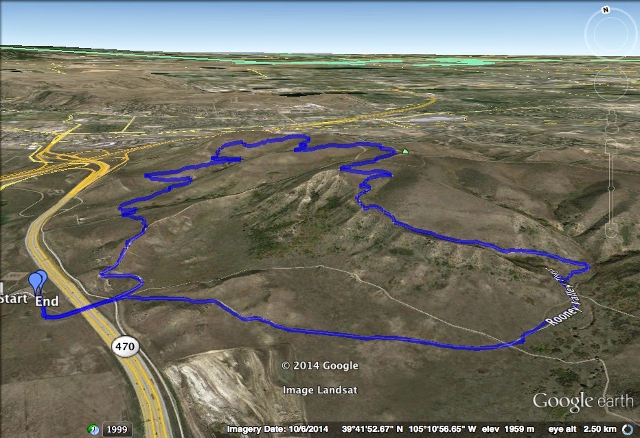
Directions:  This hike starts from the Rooney Trailhead.  From Denver head west on I-70 and west on C470.  Exit at West Alameda Parkway and turn right (west) towards Dinosaur Ridge.  Make a right (north) on S. Rooney Road and the large parking area will be on the right.  Cross the Pedestrian Bridge over C470 to the Green Mountain Trailhead.


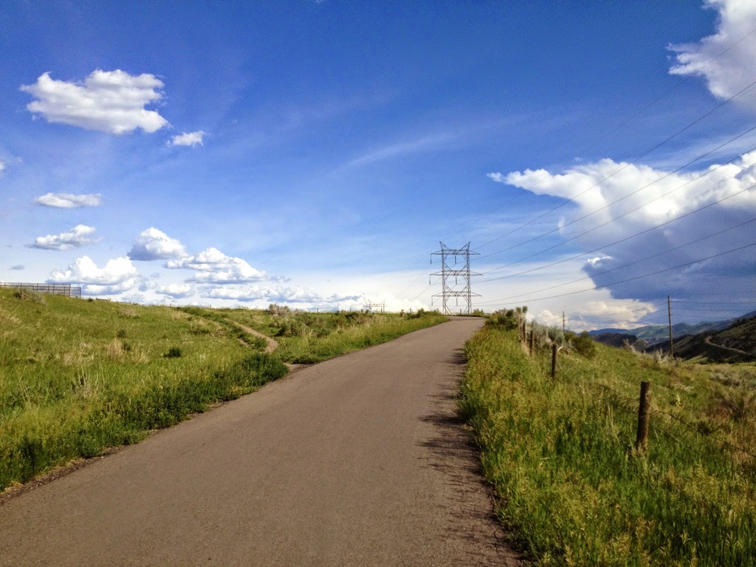
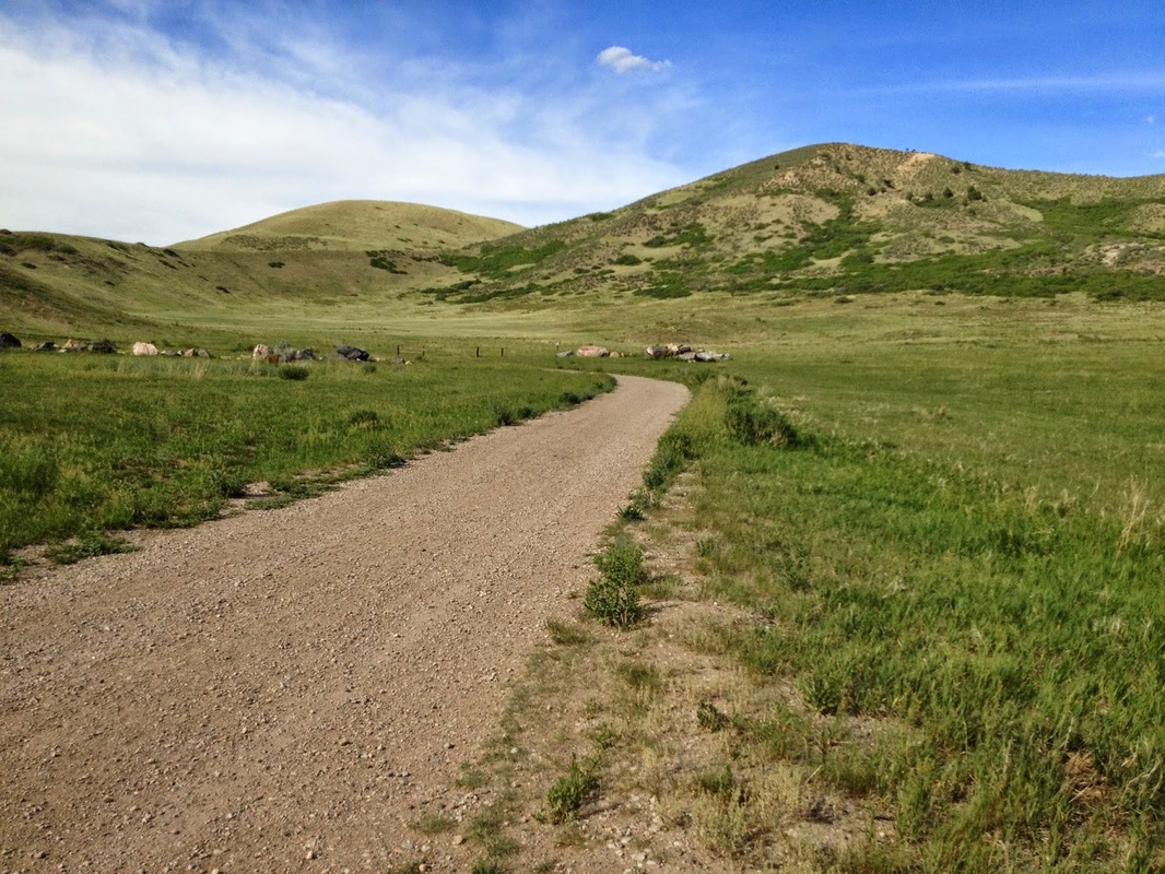
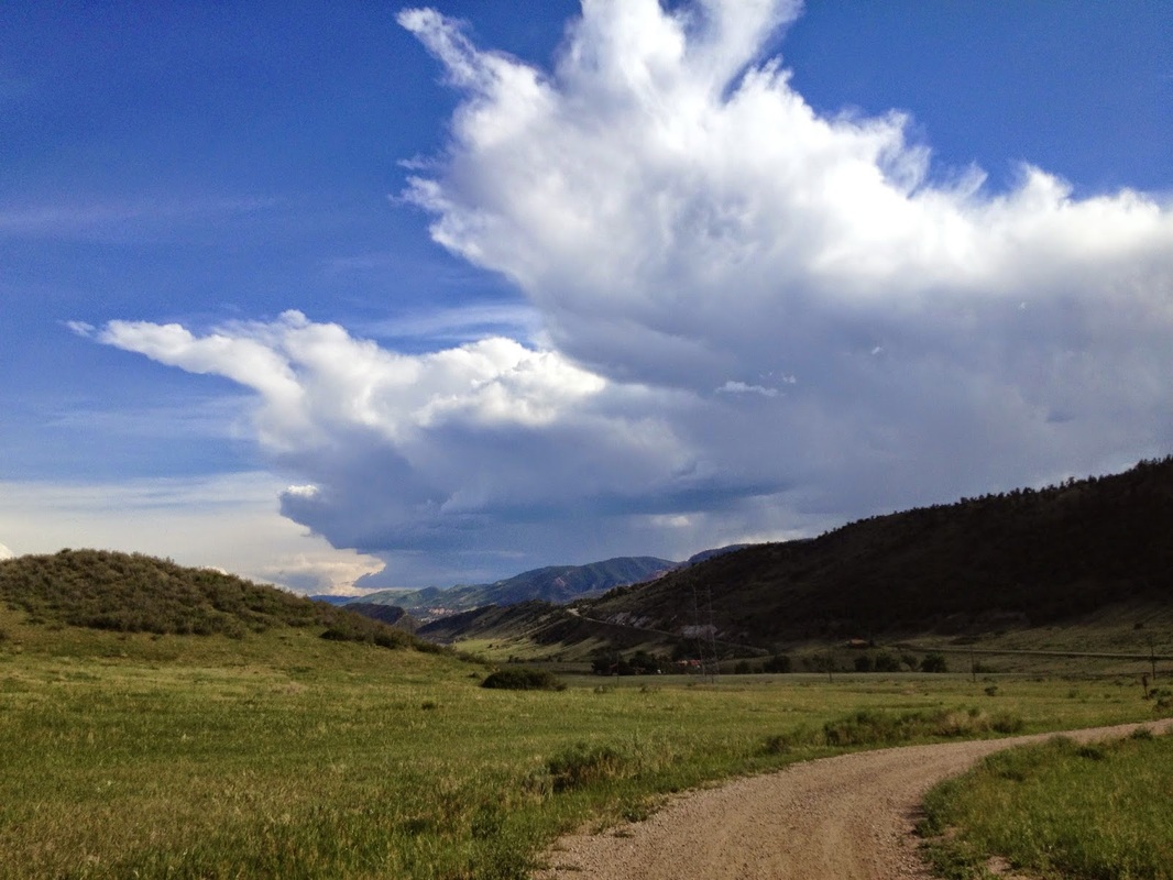
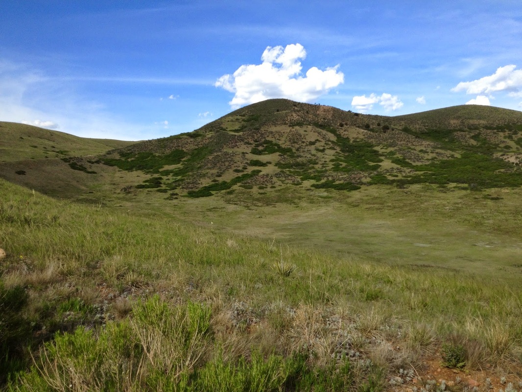
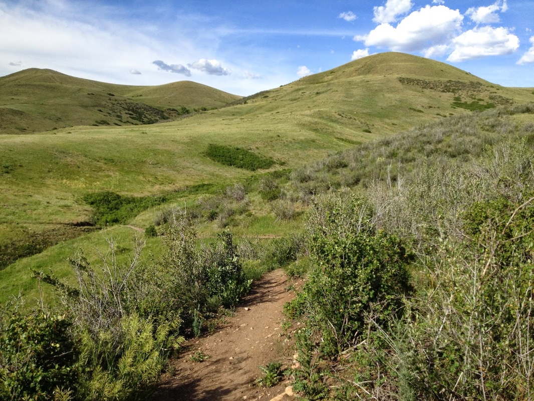
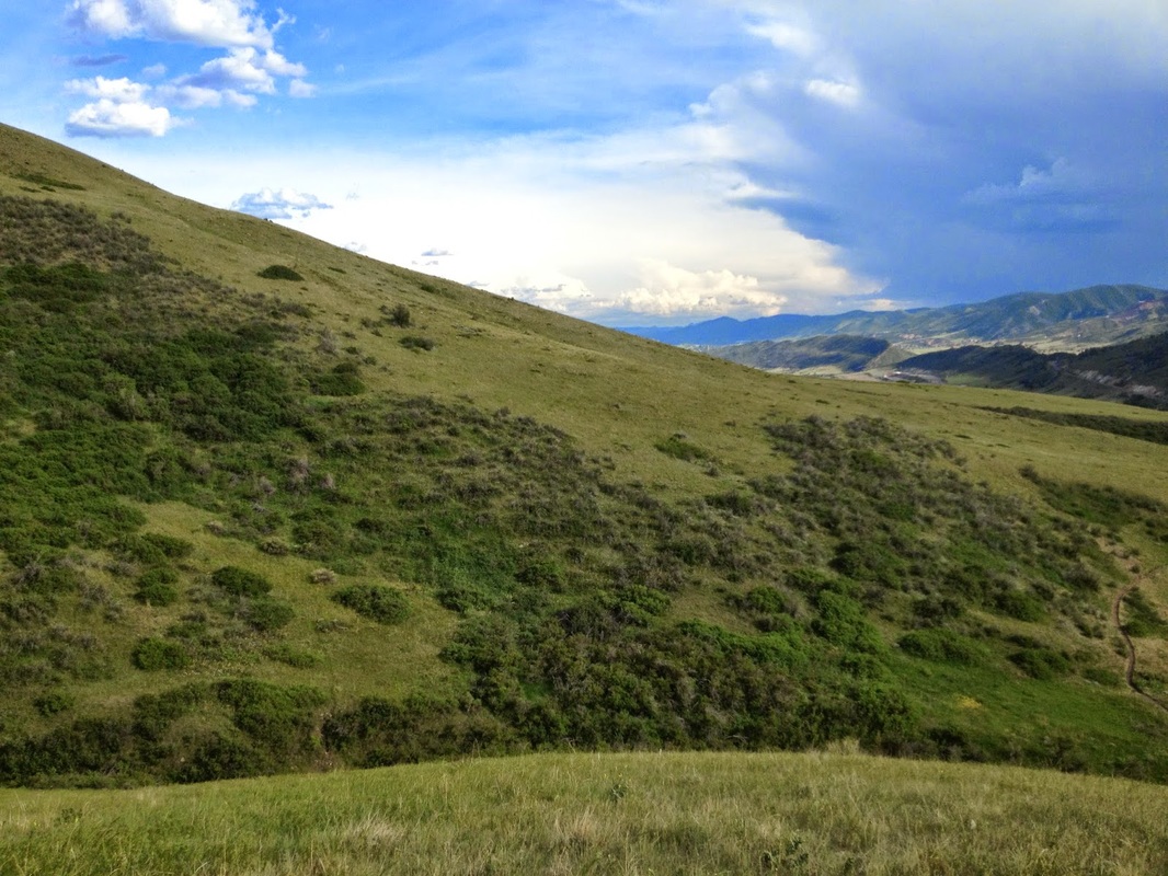
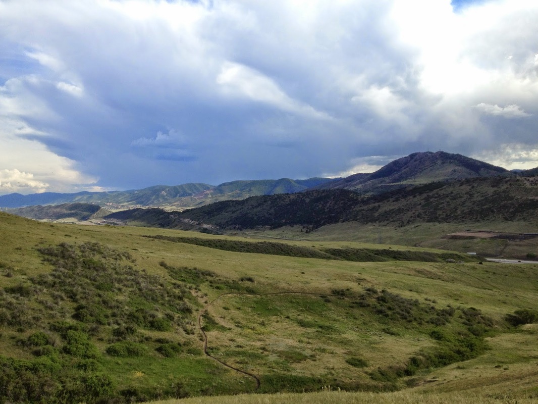
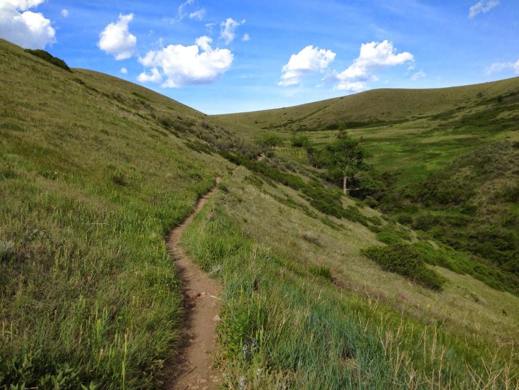
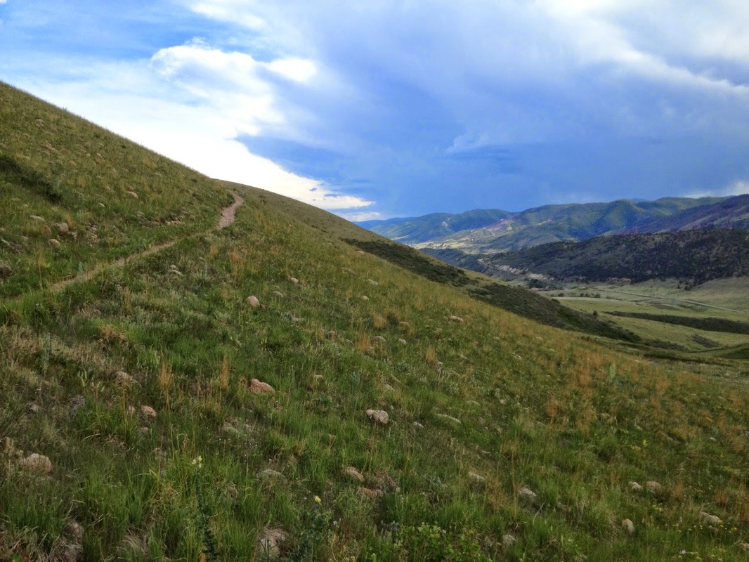
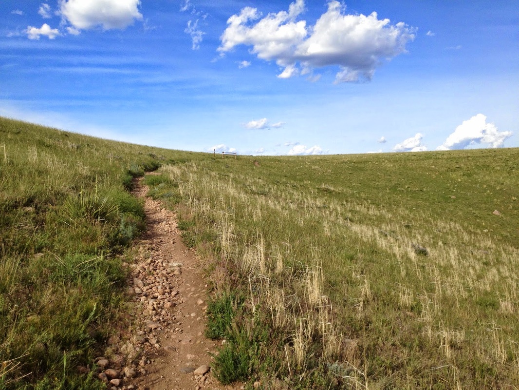
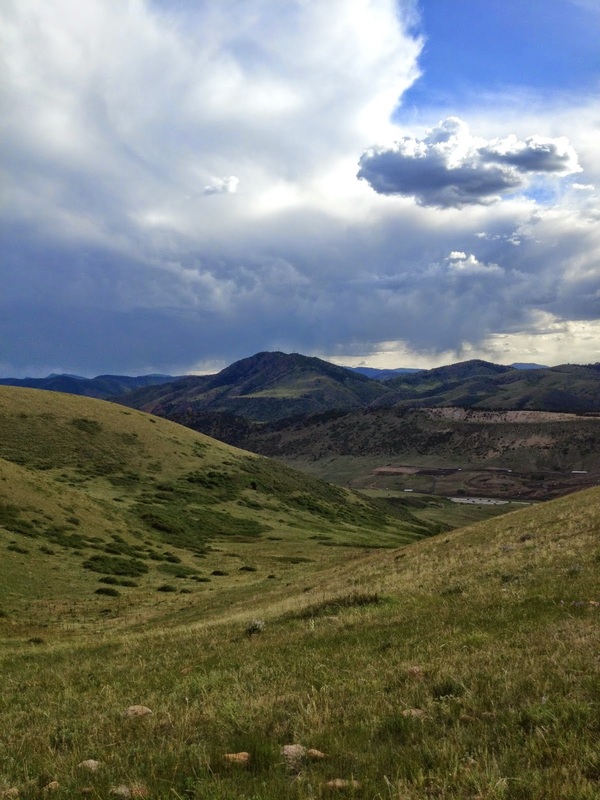
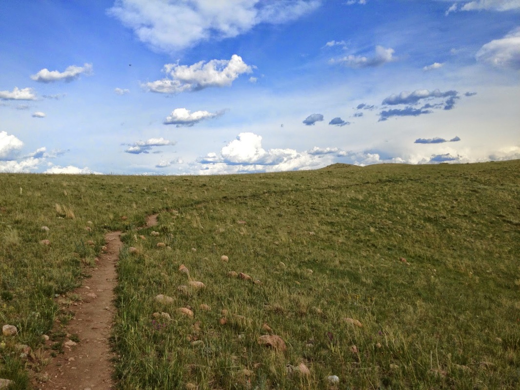
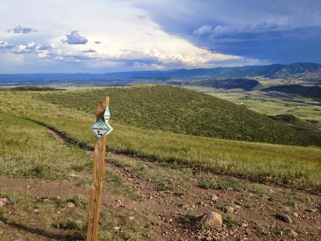
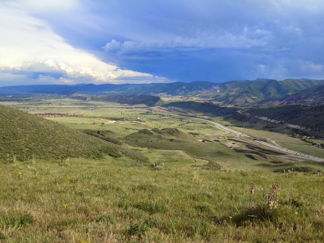
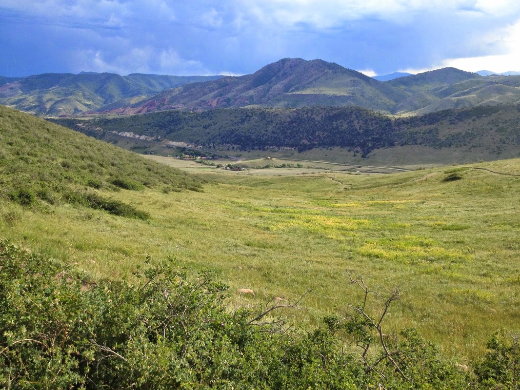
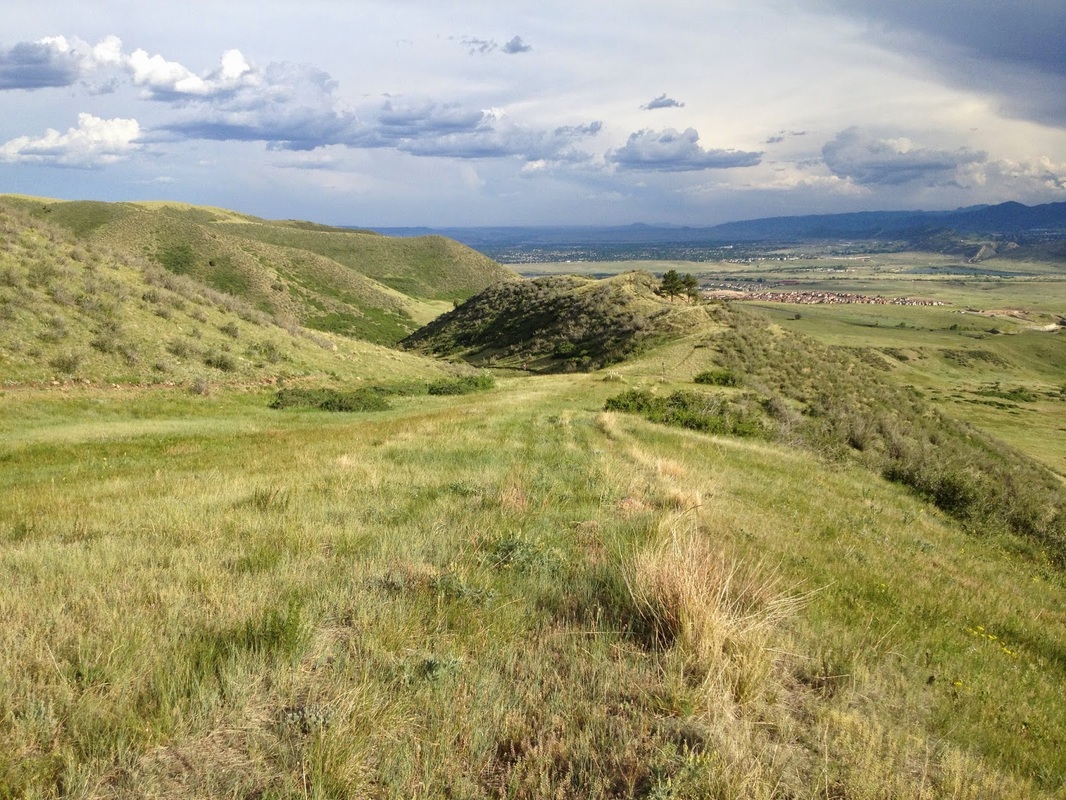
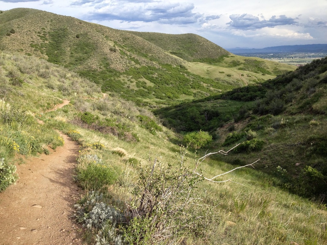
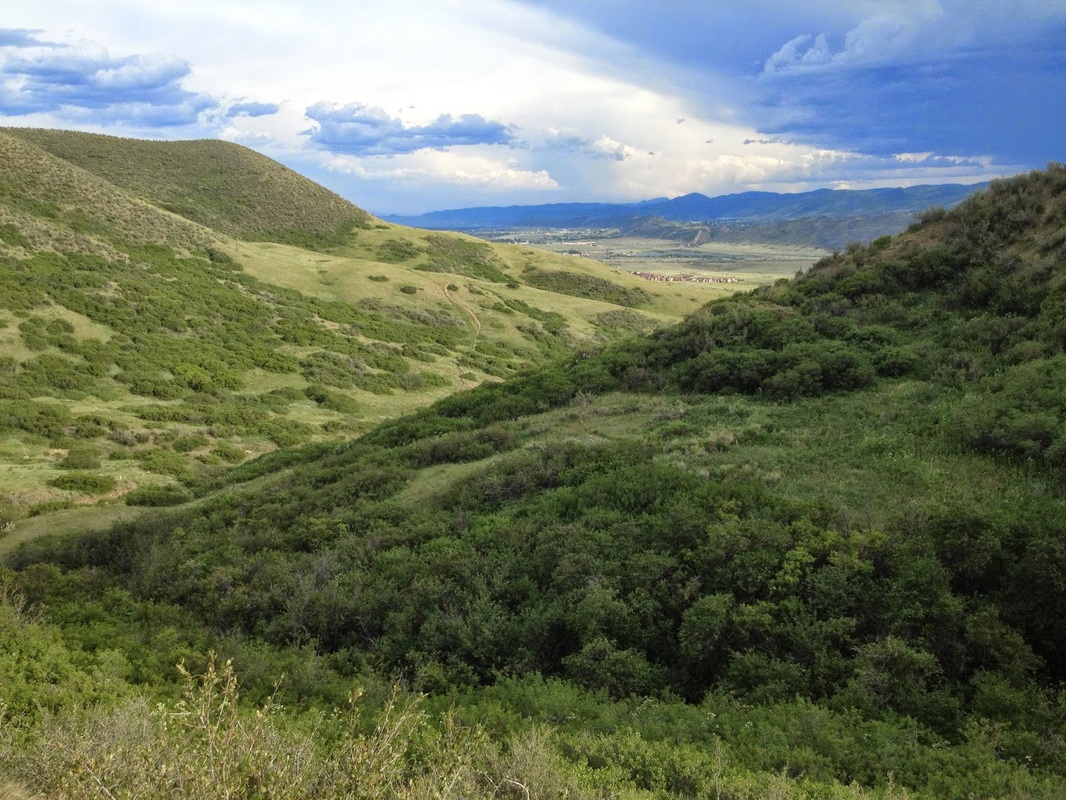
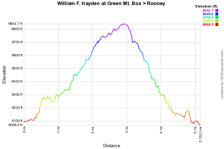
This is a truly epic Green Mountain Hike.  It climbs the west face of Green Mountain to the summit, follows the summit ridge and descends down the southwest face back to the start.  The west face is steep and the views are wonderful.  From the east side of the bridge, head north on the Green Mountain Trail, busy with Mountain Bikers.  After a short while bear to the left onto the Box O’Rox Trail.  This trail is steeper and rockier but there will be far less people making for a more enjoyable hike.  The trail steadily climbs up Green Mountain with views of Golden and the Boulder Foothills beyond to the North.  After picking your way up the hillside, you’ll pop out on the summit of Green Mountain.  Turn right and follow the Summit Loop to the south.

The Summit Loop will skirt the top of Green Mountain and soon intersect with the Green Mountain Trail.  Do not turn right here (but if you do you’ll end up back where you started, just too soon) but continue straight onto the Green Mountain Trail.  After about .2 miles turn right onto the Rooney Valley Trail.  The Rooney Valley trail zigzags down the face getting steep and rocky in spots.  Overall this is a beautiful trail with less traffic then the Green Mountain Trail.  Once you make your way down the mountain you’ll meet up again with the Green Mountain Trail.  Turn right or go straight and turn right, either way takes you back to the bridge across C470 and the trailhead beyond.
Powered by Create your own unique website with customizable templates.