GO HIKE COLORADO
Get in Touch:
  • HOME
  • ABOUT
  • HIKES BY REGION
    • DENVER AREA >
      • Denver Mountain Parks
      • Jefferson County Open Space
      • Lakewood Parks
      • Denver Area Greenways
    • BOULDER AREA
    • DOUGLAS COUNTY
    • FORT COLLINS AREA
    • COLORADO SPRINGS AREA
    • FRONT RANGE
    • TENMILE & MOSQUITO RANGES
    • GORE RANGE
    • SANGRE DE CRISTO MOUNTAINS
    • PARK RANGE
    • SAWATCH RANGE
    • ELK MOUNTAINS
    • SAN JUAN MOUNTAINS
    • THE FLAT TOPS
    • GRAND MESA
    • COLORADO PLATEAU
    • EASTERN PLAINS
  • NATIONAL PARK HIKES
    • BENT'S OLD FORT NATIONAL HISTORIC SITE
    • BLACK CANYON OF THE GUNNISON NATIONAL PARK
    • COLORADO NATIONAL MONUMENT
    • CURECANTI NATIONAL RECREATION AREA
    • DINOSAUR NATIONAL MONUMENT
    • FLORISSANT FOSSIL BEDS NATIONAL MONUMENT
    • MESA VERDE NATIONAL PARK
    • ROCKY MOUNTAIN NATIONAL PARK
    • GREAT SAND DUNES NATIONAL PARK
    • HOVENWEEP NATIONAL MONUMENT
    • SAND CREEK MASSACRE NATIONAL HISTORIC SITE
    • YUCCA HOUSE NATIONAL MONUMENT
  • HIKES BY CATEGORY
    • HIKES TO ALPINE LAKES
    • HIKES TO PEAKS & PASSES
    • HIKES THROUGH CANYONS
    • HIKES WITH FALL COLORS
    • HIKES ALONG THE I-70 CORRIDOR
    • HIKES ON PAVED TRAILS
    • HIKES FOR KIDS
    • HIKES TO WATERFALLS
    • HIKES ALONG RIVERS
    • HIKES WITH ROCK FORMATIONS
    • HIKES WITH WILDFLOWERS
    • WINTER HIKES
  • NEWS
  • WEBCAMS
  • $UPPORT GHC
  • INTERACTIVE MAP

Green Mt. > Rooney Valley Loop
William F. Hayden Park at Green Mountain

Date Hiked: April 4, 2013

​Distance: 3.1 mi (RT)
Elevation Gain: 400ft
Elevation Min/Max: 6,079 to 6,393ft
Managing Agency: Lakewood Parks
Fee: None

Green Mountain Website
Picture

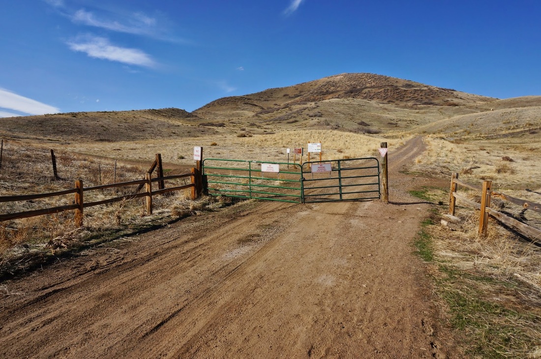
Directions:  The trailhead is located on Alameda Parkway across the road from Forsberg Park.  From Denver, take I-70 west to C470 west.  Exit at Alameda Parkway and Forseberg Park will be off to your right.  There is a parking area but be careful crossing Alameda Parkway.

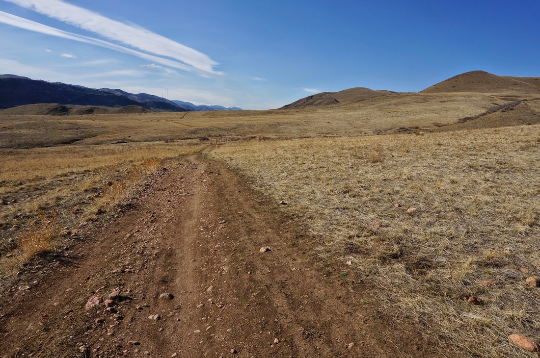
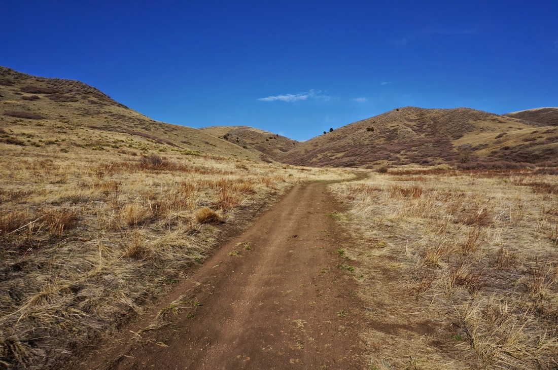
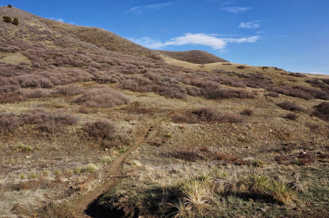
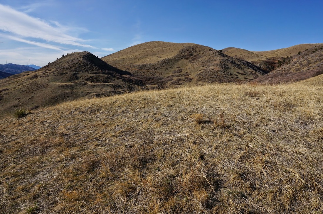
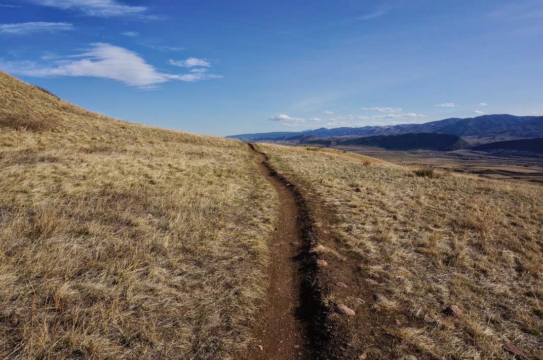
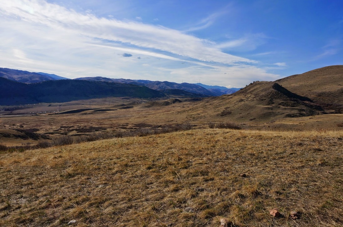
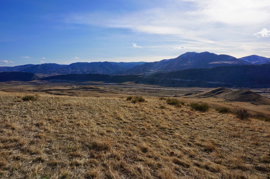
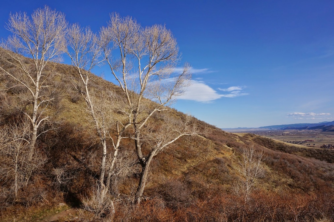
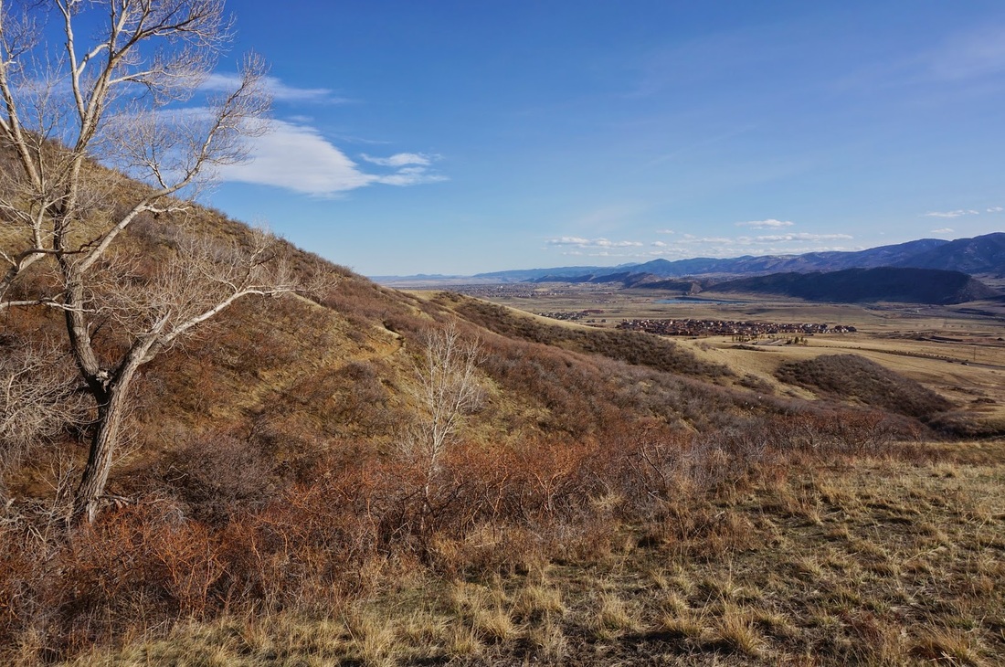
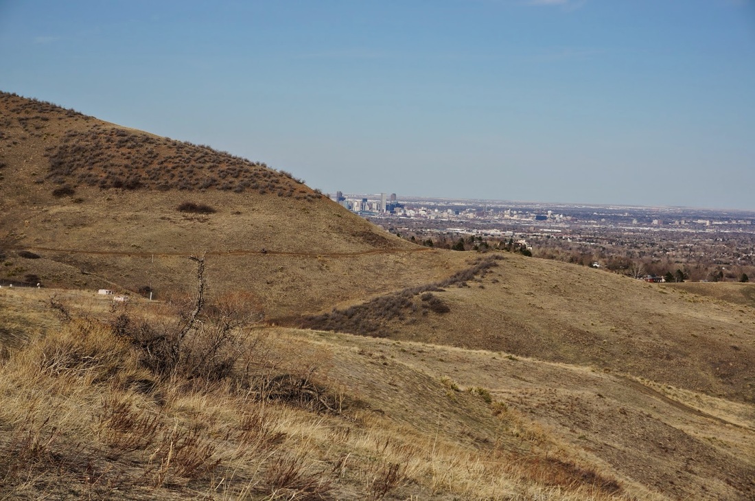
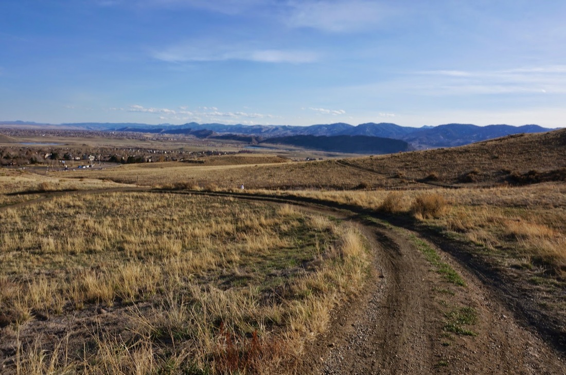
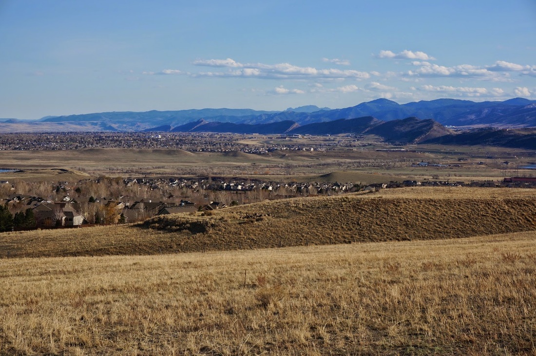
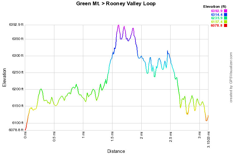
DUE TO RECENT CHANGES AT THE PARK, THIS TRAILHEAD MAY NO LONGER BE ACCESSIBLE. USE TRAILHEAD AT UTAH STREET INSTEAD.(SEE MAP LINK ABOVE)

This is a terrific, short loop, and even though it never gets to the top of Green Mountain, it still brings the views and surprising solitude of Green Mountain.  There is far less traffic on this trail but as always keep your eyes and ears open for Mountain Bikes.  From the trailhead, head west on the Green Mountain Trail.  The trail is pretty steady for the 1st mile or so as it rolls along to the west then turns up north.  When you reach the Rooney Valley Trail, turn right and start climbing up the west face of Green Mountain.  After about ¼ mile turn right, still on the Rooney Valley Trail, up a steep section.  The trail will level off again and head south paralleling the Green Mountain Trail Below.  The views from this part of the hike are particularly beautiful, looking south along the foothills.  When the trail turns to the west you’ll be able to look down on the trailhead.  Don’t be alarmed that the trail passes the trailhead and continues to the west, after a short jog, the trail will turn south and meet up with the Green Mountain Trail.  Turn right and head back west to the trailhead.
© Go Hike Colorado, 2020.  All Rights Reserved. 
Use of photographs without prior authorization is
​strictly prohibited.


Contact us at:
[email protected]
Legal Disclaimer - Information provided on this site is based upon our own observations, always double check information with the appropriate land management agency before heading into the backcountry.  Backcountry travel is inherently dangerous, please take all proper precautions.  Go Hike Colorado is not responsible for injury or incident.