|
|
|
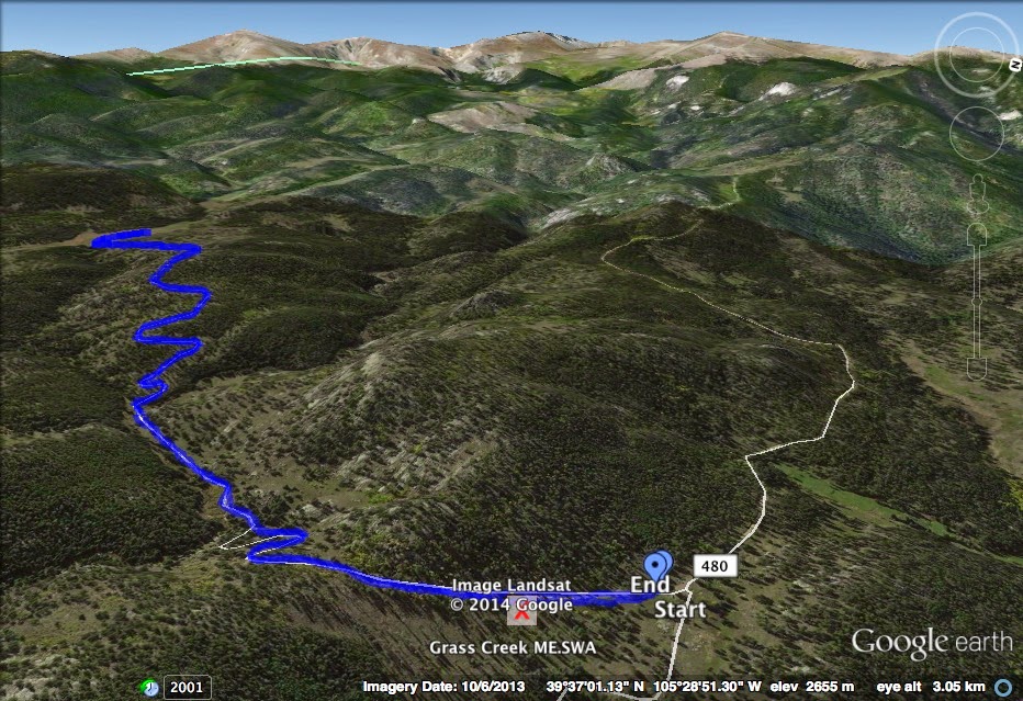
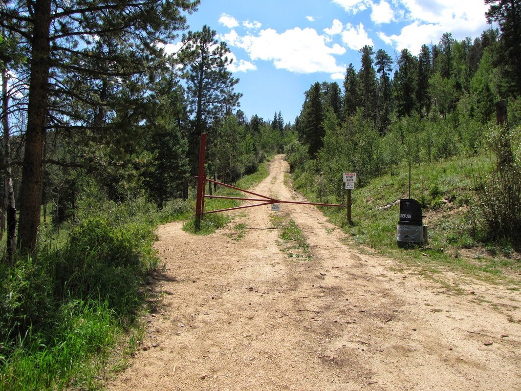
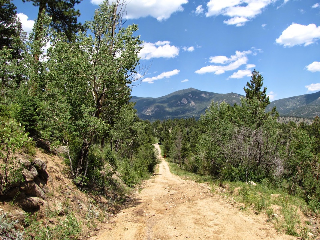
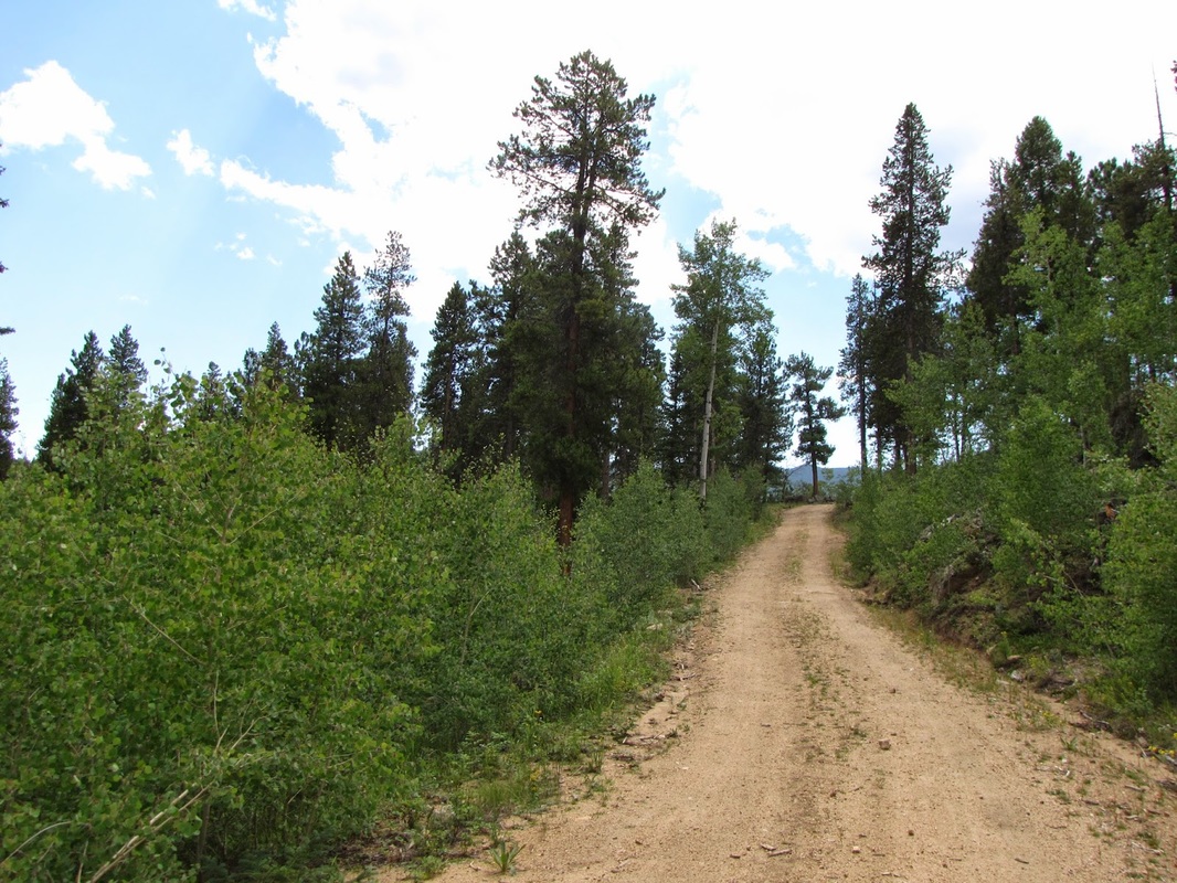
Directions: Finding your way to the Mt. Evans SWA can be a challenge, but it is well worth the effort. From Evergreen, head west on Upper Bear Creek Road. Follow this for 6.5 miles, then turn onto CR 480 for 3 miles until you enter the park. Then follow signs to the trailhead along dirt roads, the last part of this road can be steep and rocky, an SUV would be helpful.
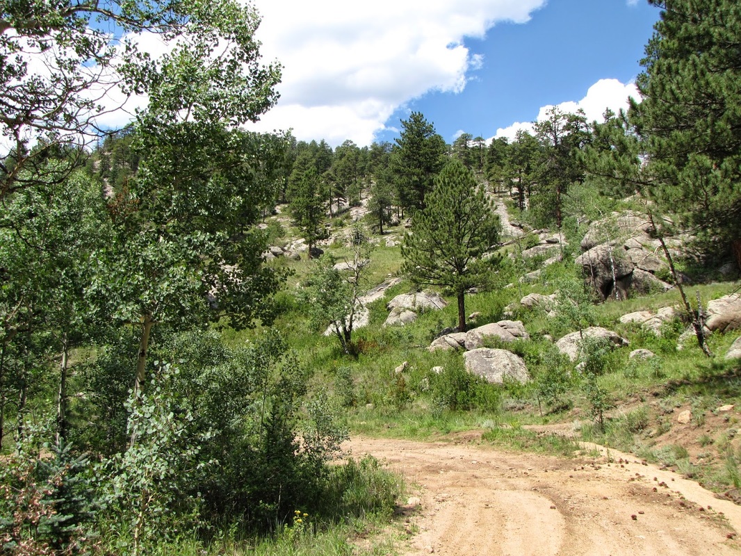
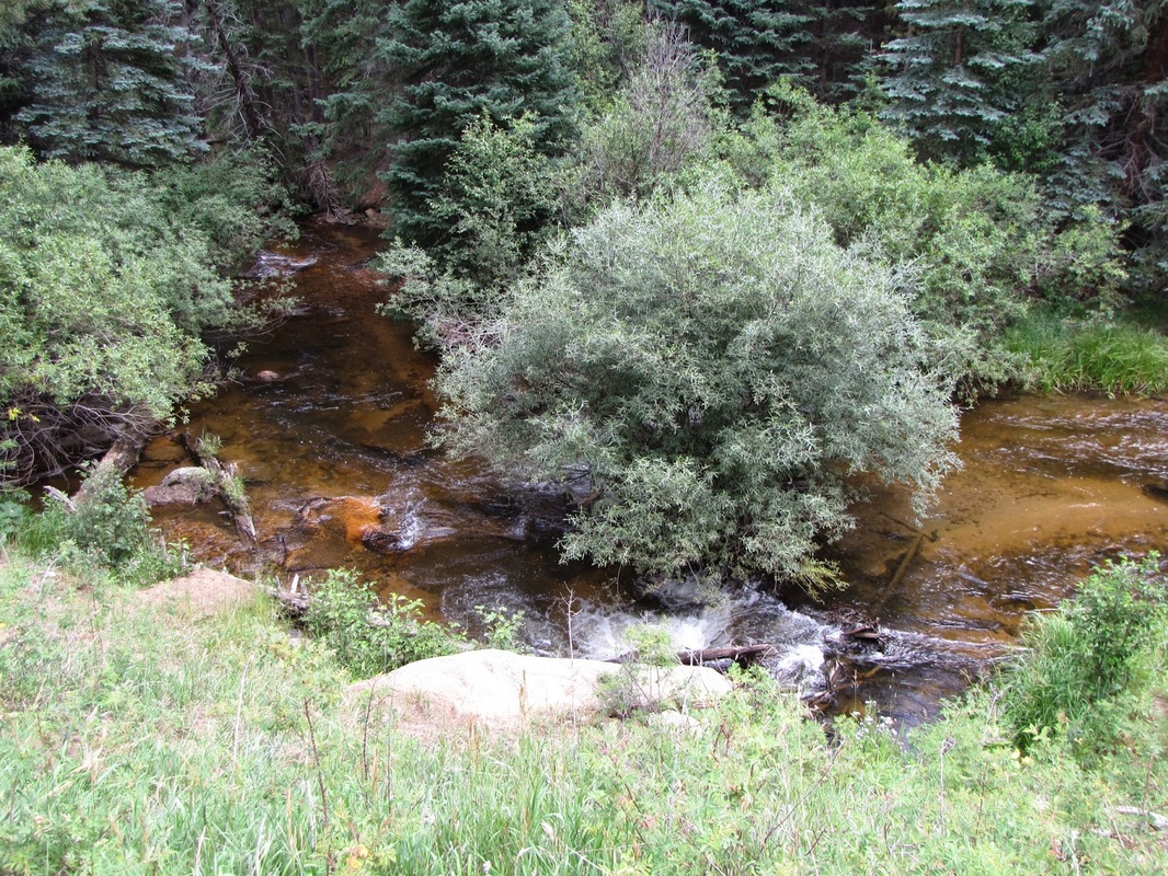
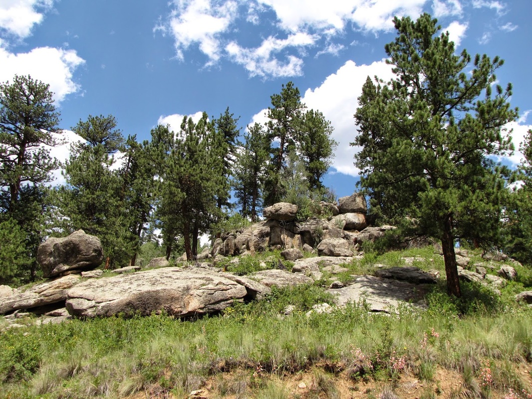
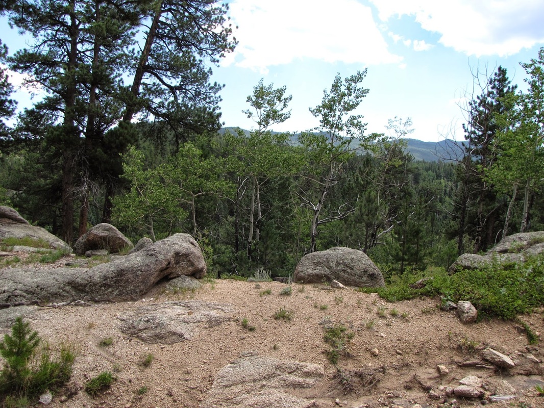
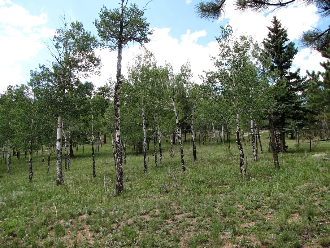
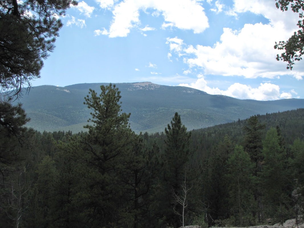
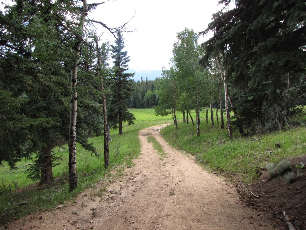
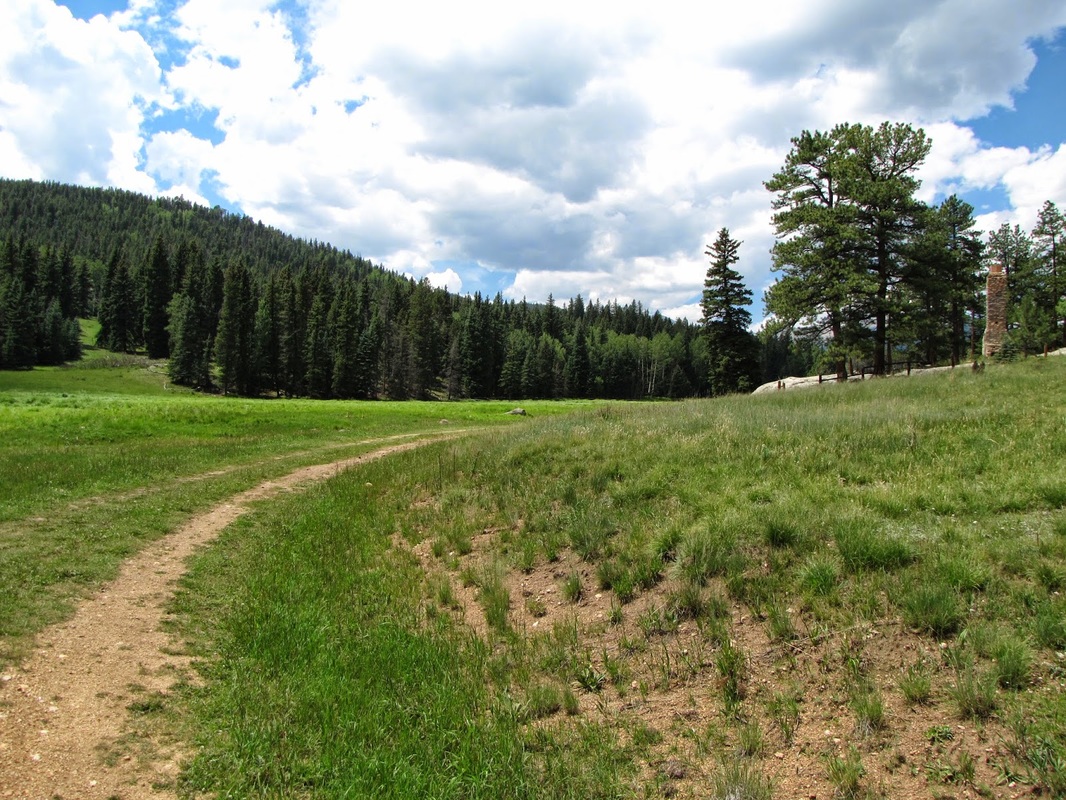
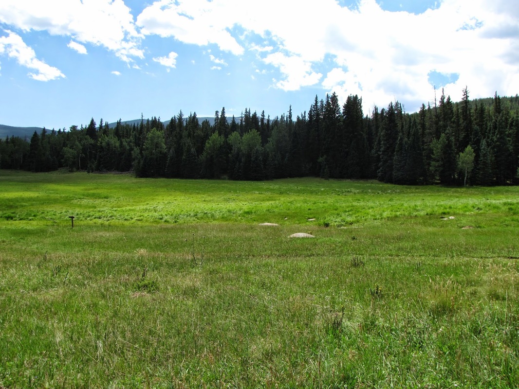
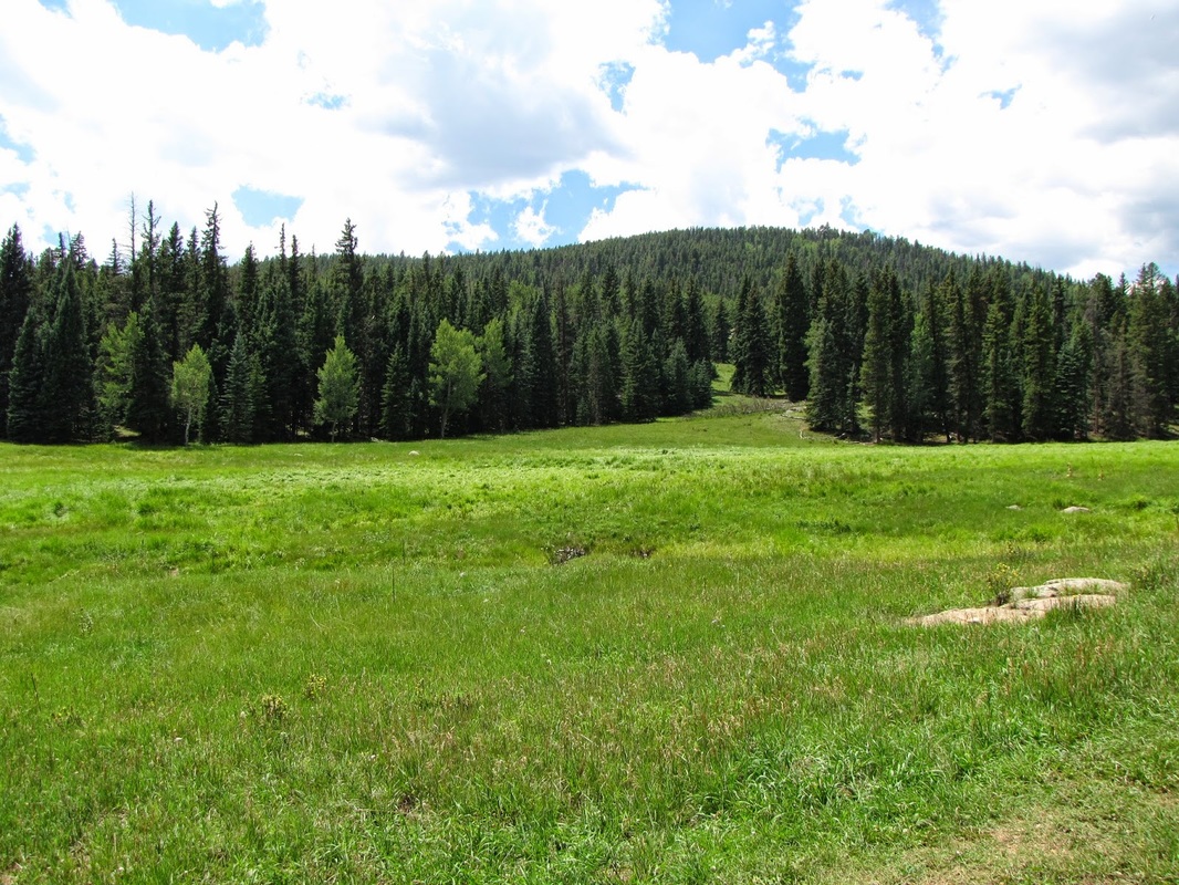
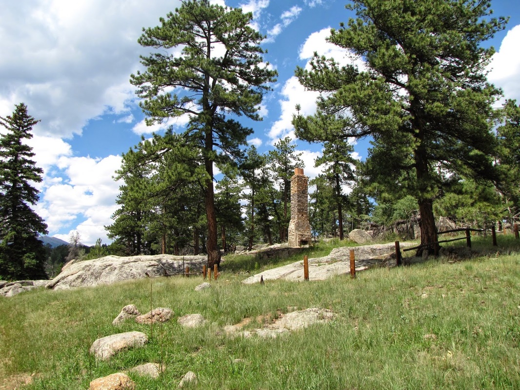
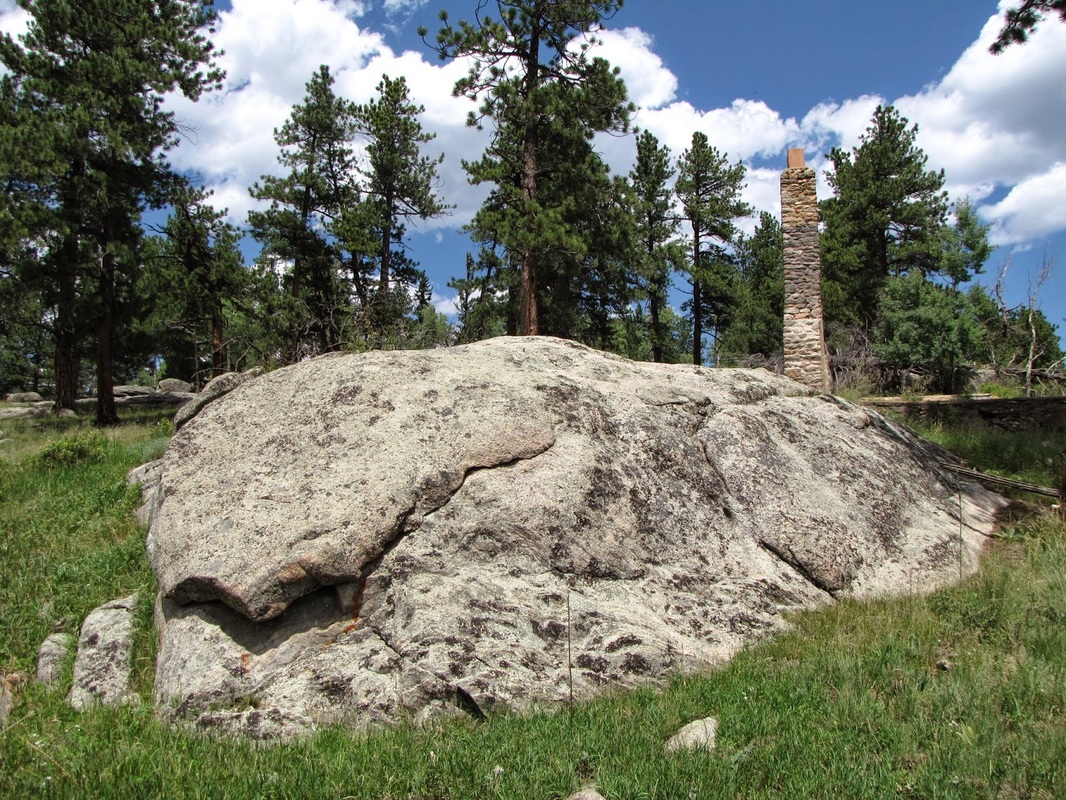
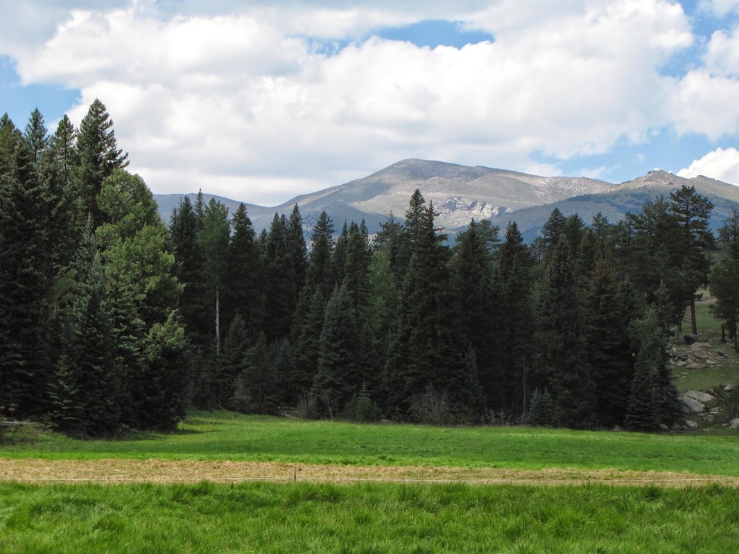
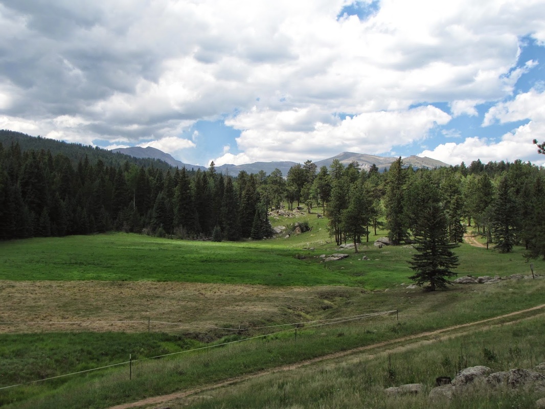
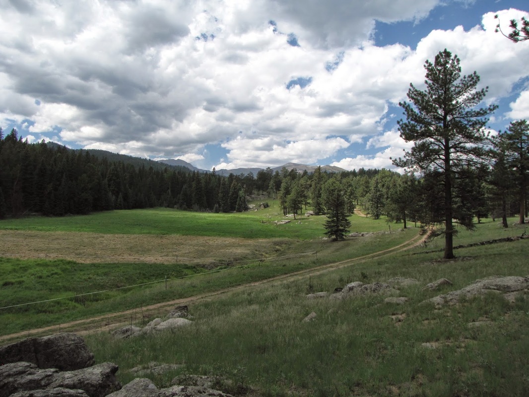
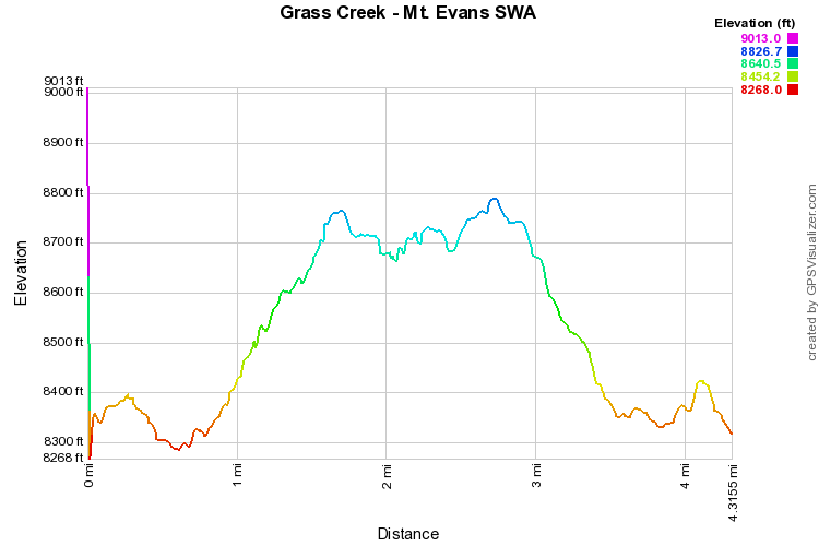
The hike along Grass Creek is very peaceful, with not many other visitors. From the parking area, head up the trail, a wide dirt road, over the hill and down to the bridge crossing Grass Creek. From the bridge the trail ascends the hillside through experimental forest with interesting interpretive signs along the way. Continue winding your way through the forest until you come to a large grassy marsh/field. Turn the corner and off to the right you'll spot the remnants of a brick chimney. This marks the general end of the hike. The trail continues for some way, and you can explore to your heart's content. However, if this is your destination then try to climb up the slope to the right, just a little, for some nice views of Mt. Evans. |
|