|
DIRECTIONS: From Fort Collins, CO take 287 north to Livermore, CO. Turn left (west) on Red Feather Lake Road (74E) and follow it for 20 miles to the Lady Moon Trailhead.
The Red Feather Lakes area always surprises me... It's an interesting part of the Roosevelt National Forest, lacking the high alpine tundra and peaks, but chock full of rock formations, lakes, and big vistas. The Lady Moon Trail to the eastern end of the Granite Ridge Trail is a terrific hike and surprisingly epic.
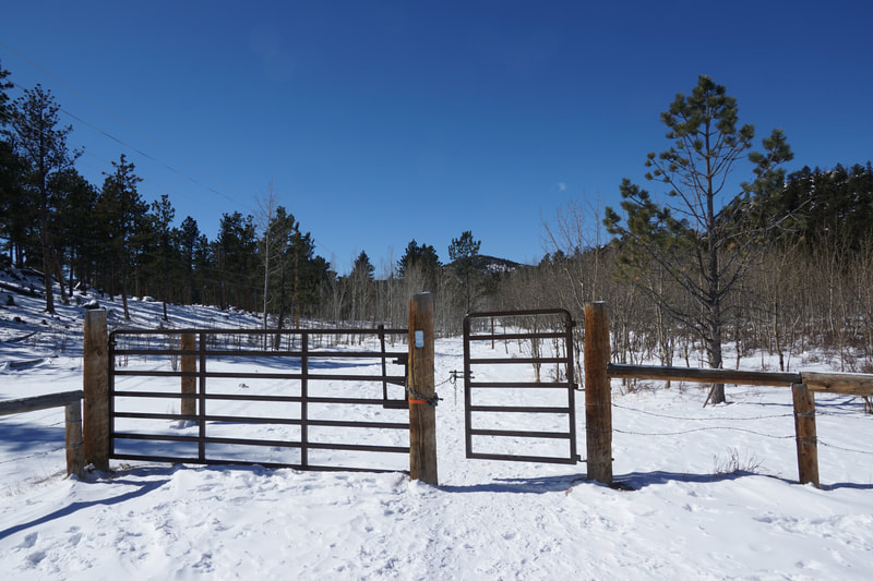
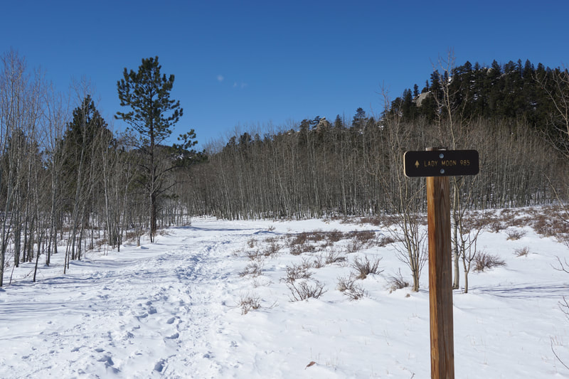
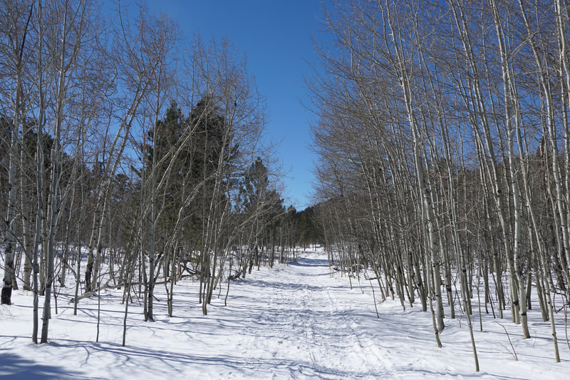
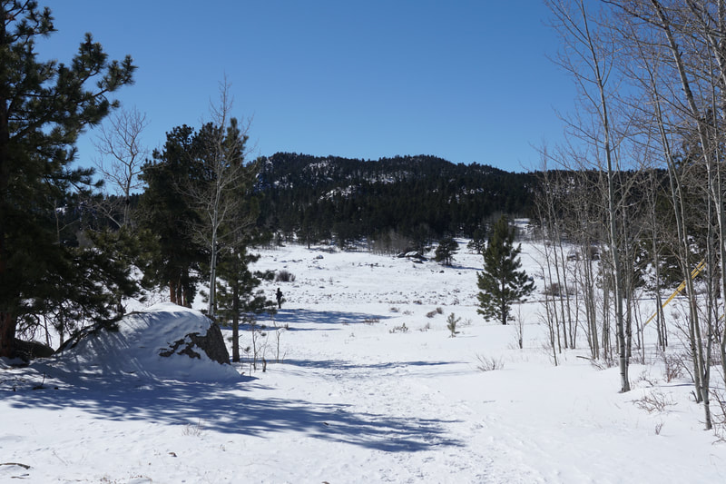
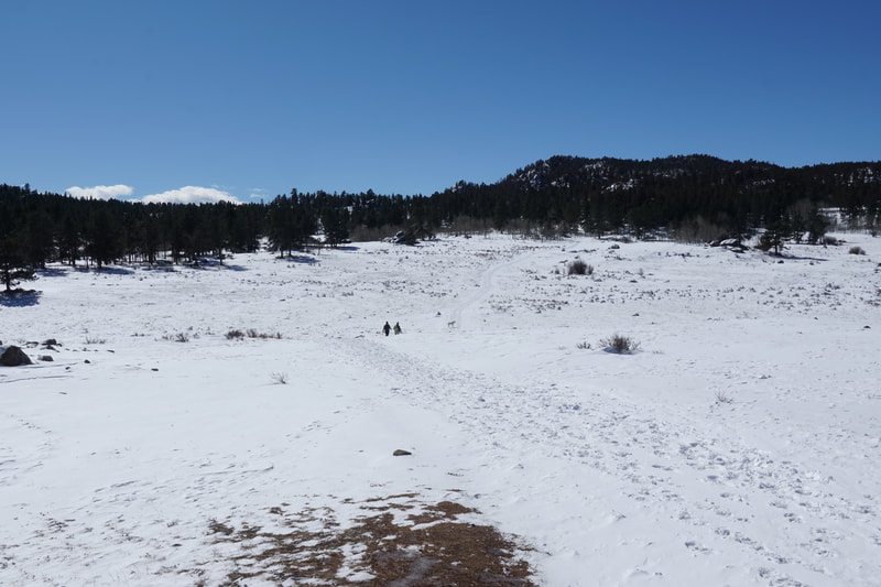
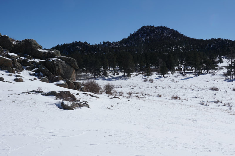
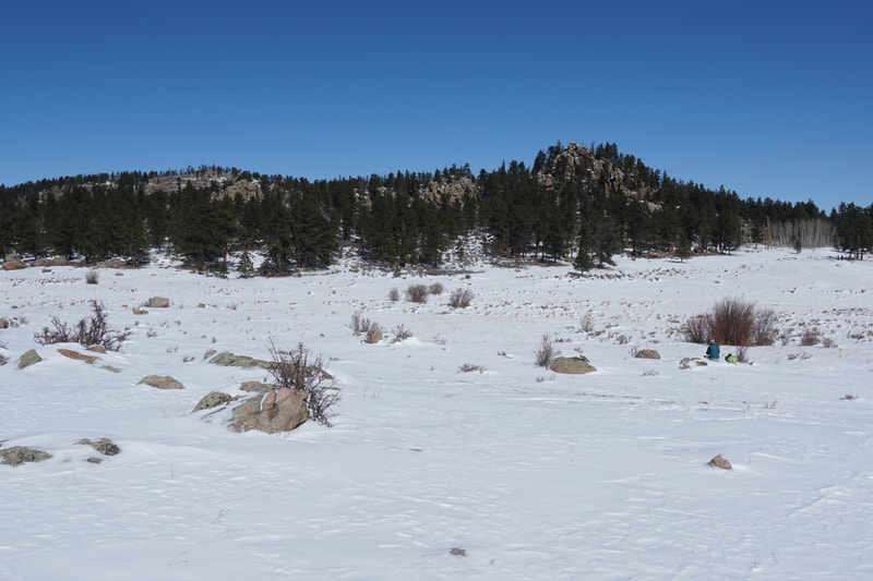
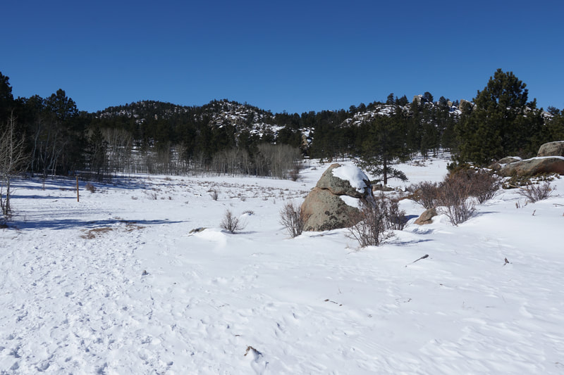
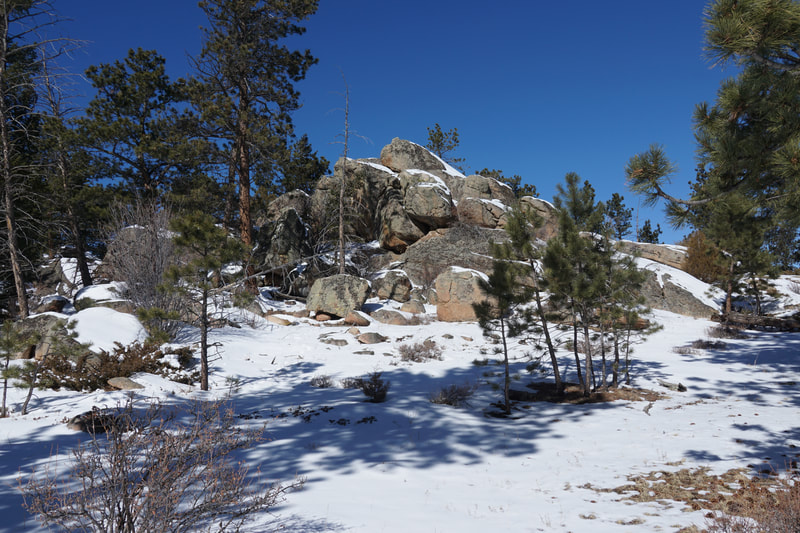
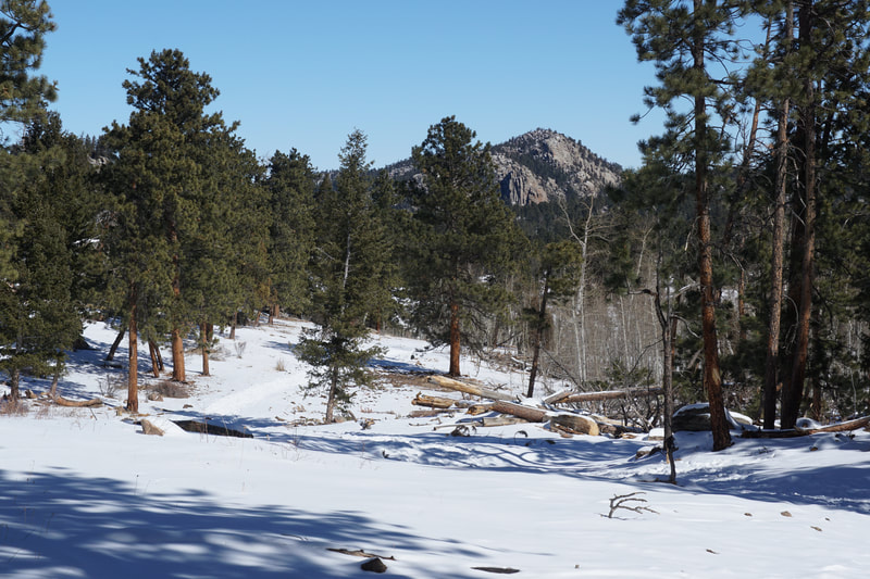
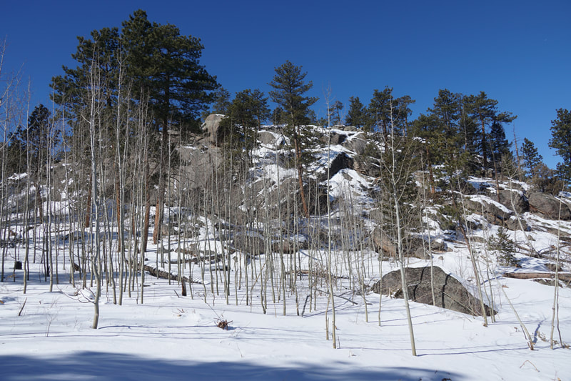
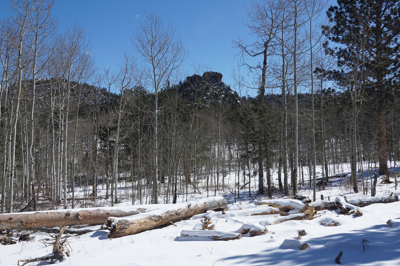
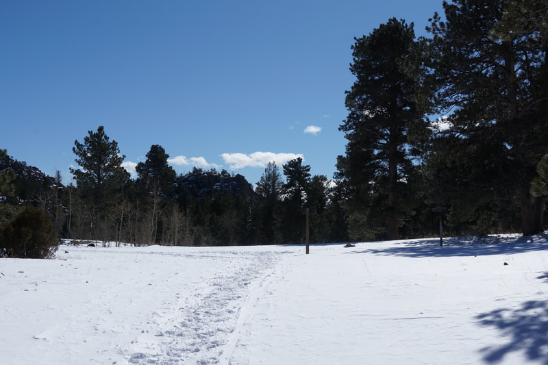
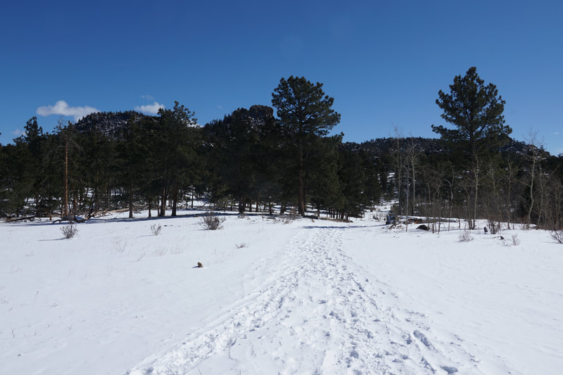
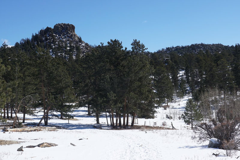
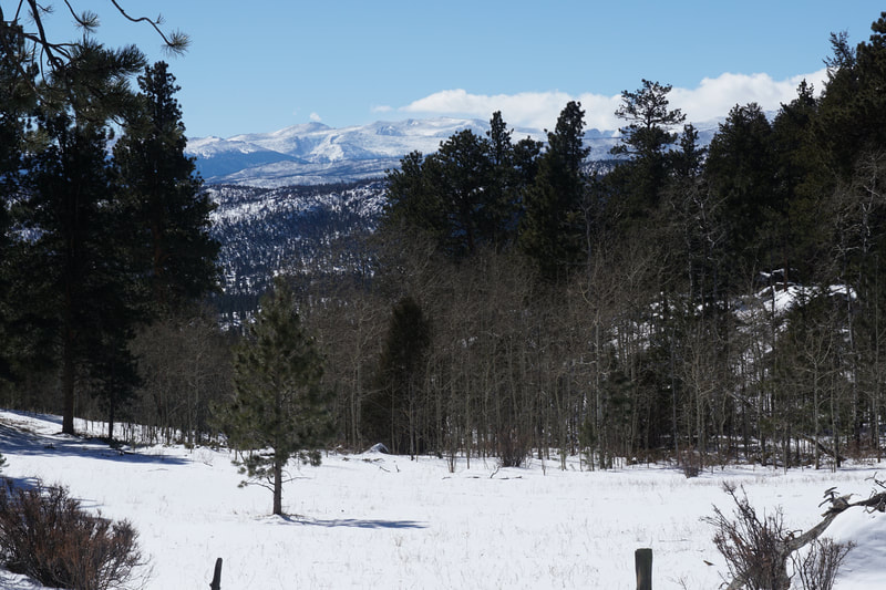
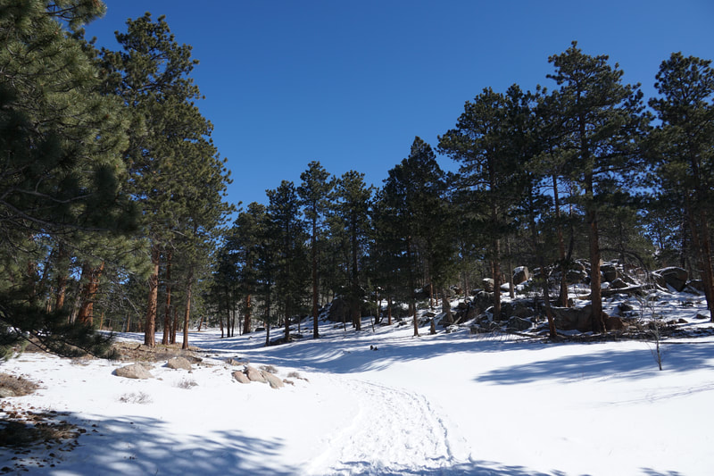
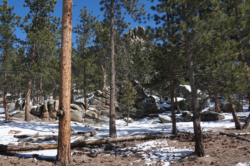
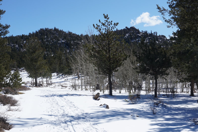
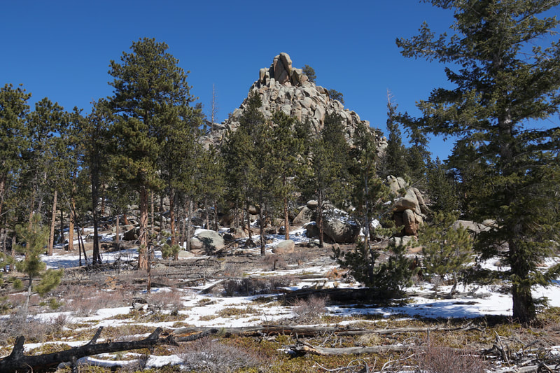
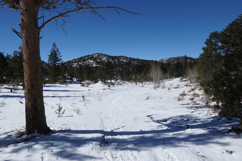
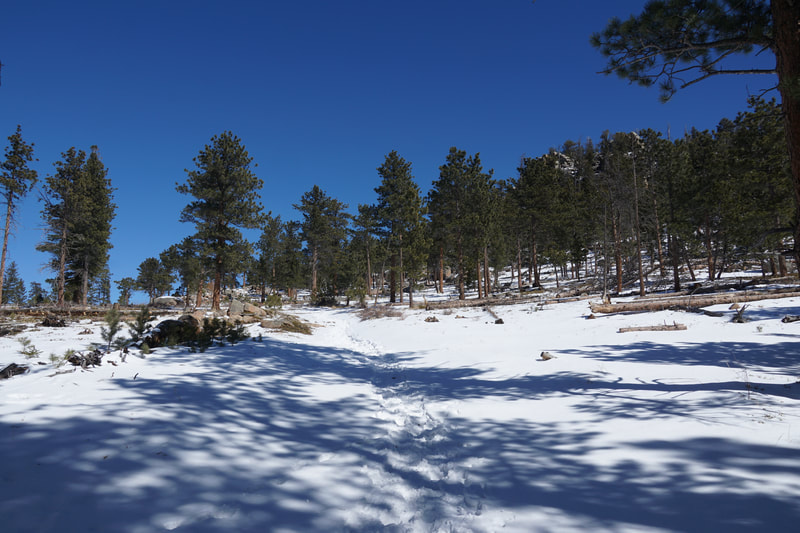
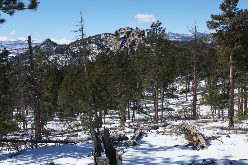
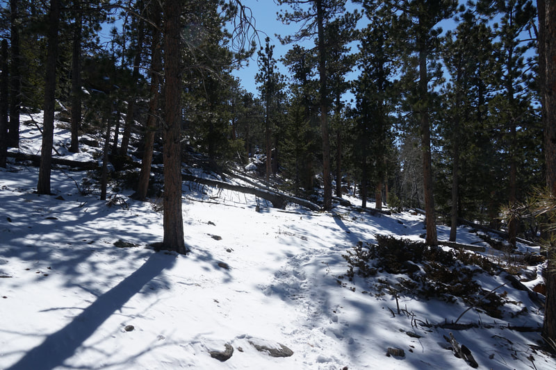
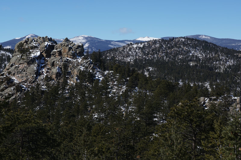
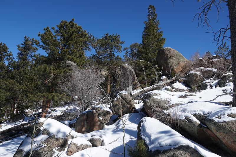
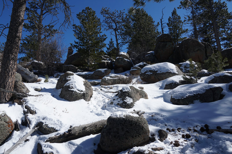
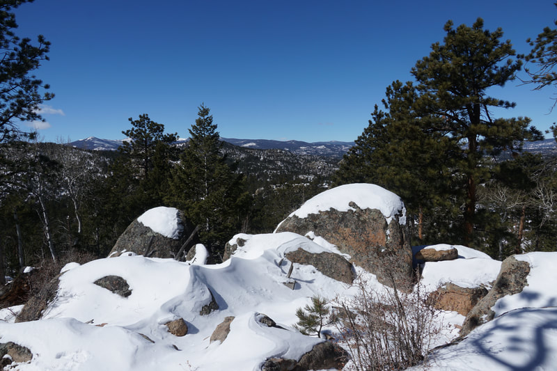
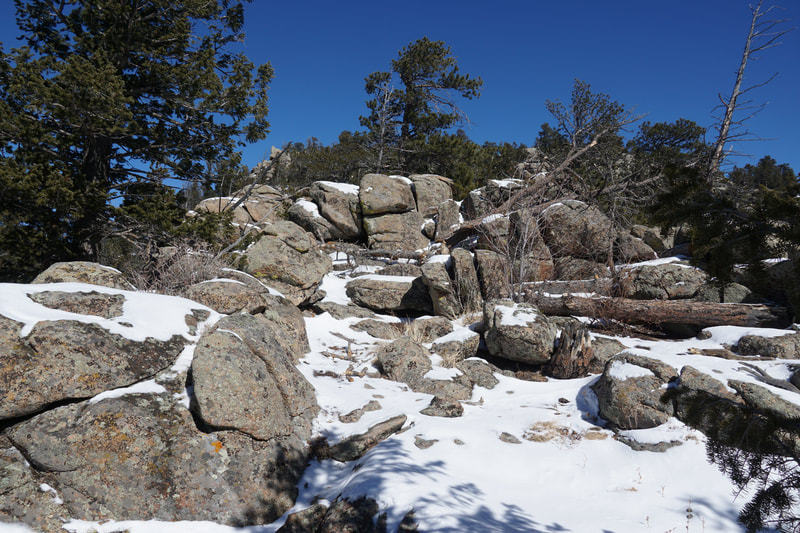
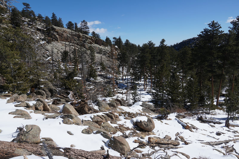
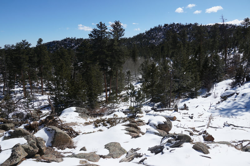
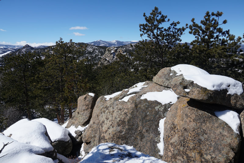
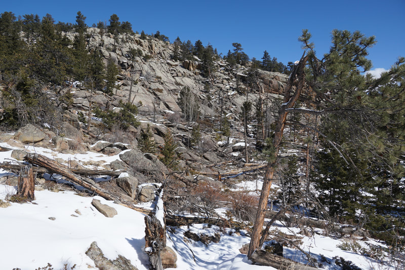
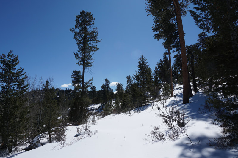
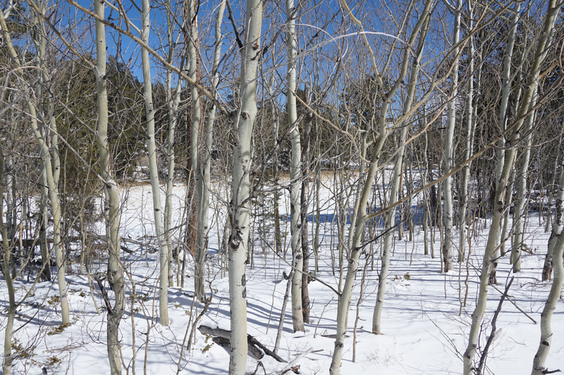
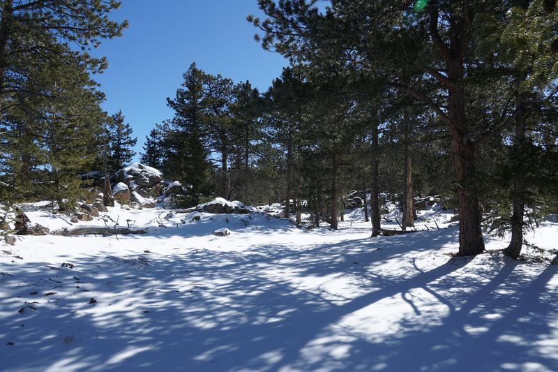
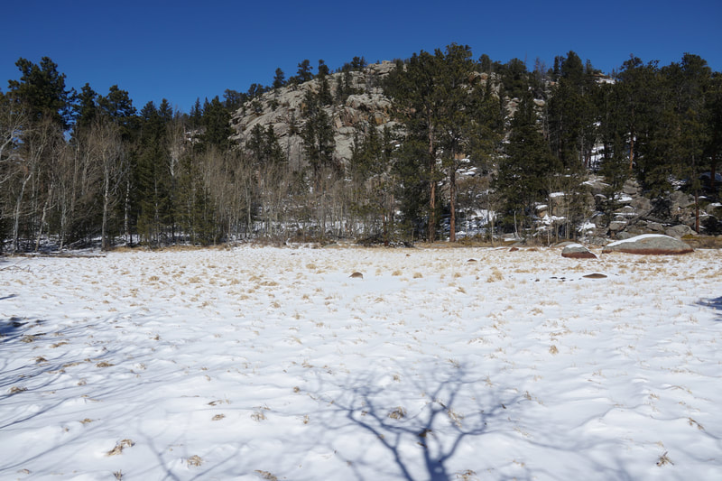
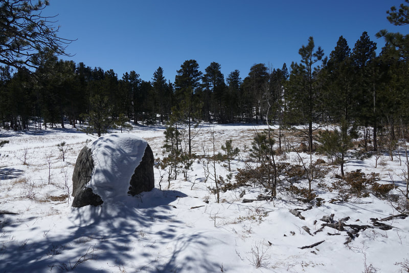
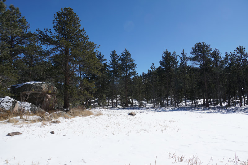
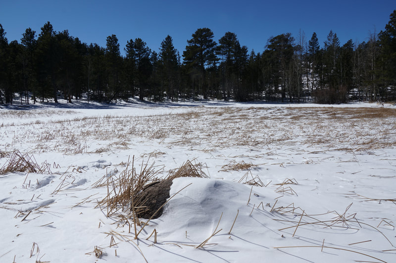
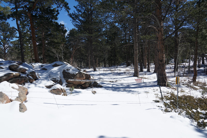
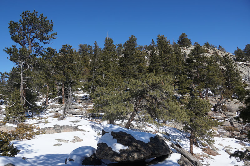
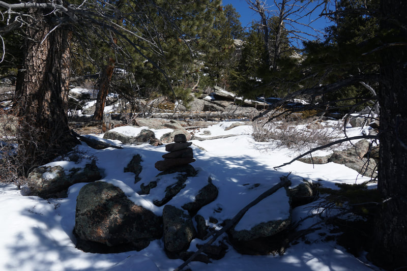
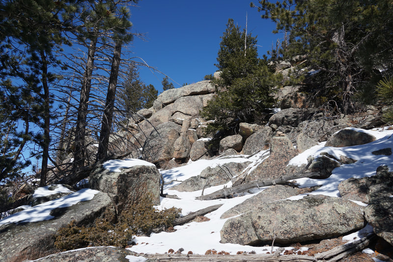
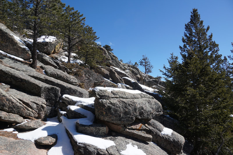
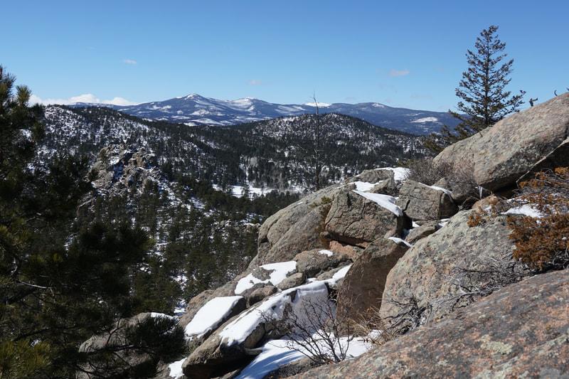
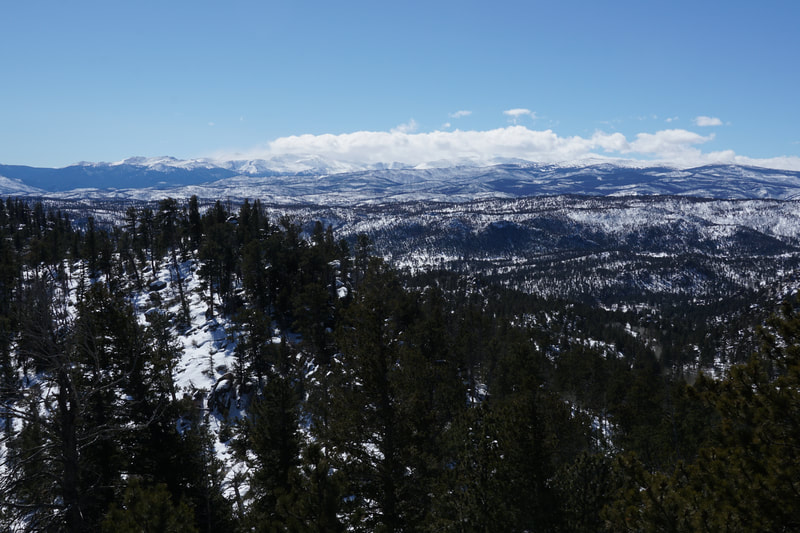
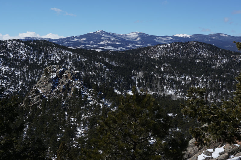
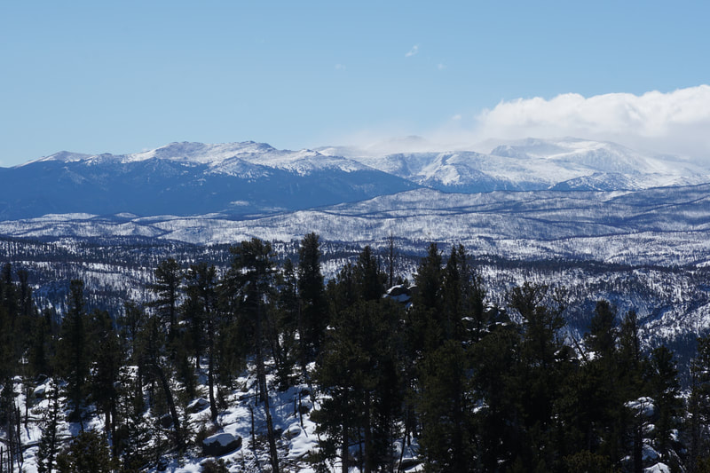
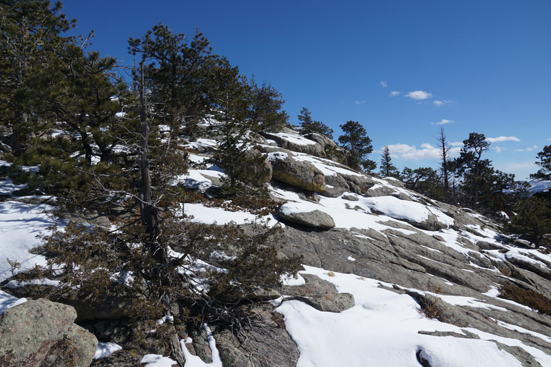
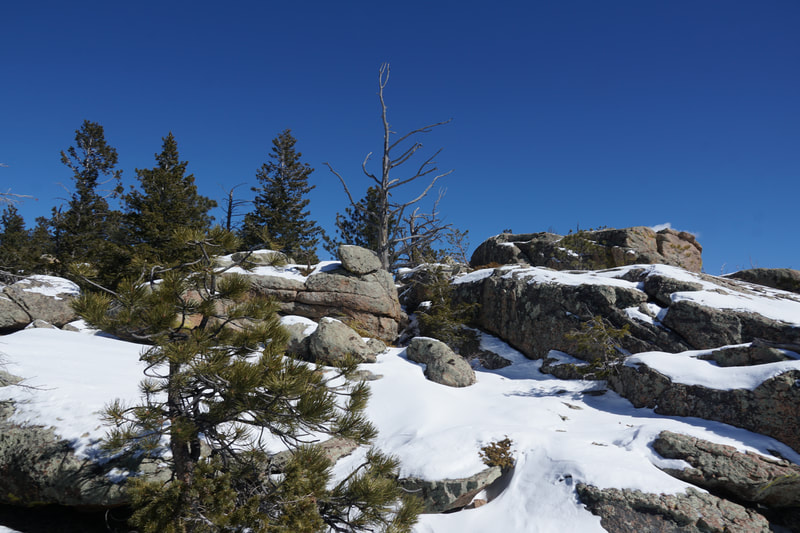
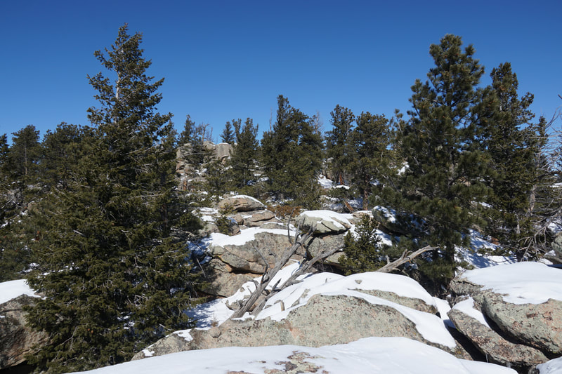
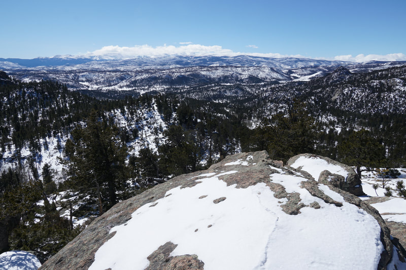
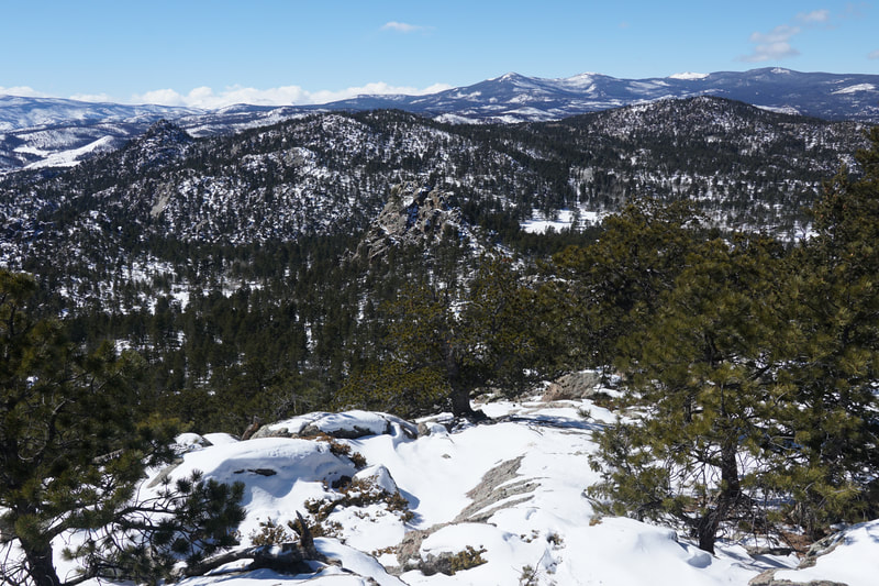
The Lady Moon Trailhead is one of the main trailheads in the area but not as busy as the nearby Dowdy Lake TH. In the winter, the crowds are far fewer and this area become far more serene. The Lady Moon Trail heads west through a gate and through an aspen grove before dropping down to a wide open meadow heading south. This meadow is surrounded by rock towers and formations. After you cross the meadow, enter the forest and head uphill until you reach the junction with the Granite Ridge Trail. The Granite Ridge Trail is one of the major trails in the area and runs east to Molly Lake or west to the top of Granite Ridge and some small dry/seasonal ponds. At the junction, turn left and head east to reach Granite Ridge. This part of the trail is very pretty and keep and eye to the south from some big mountain views popping up over the trees. The trail curves north around a sharp rock tower, just begging to be climbed, and starts to gain some elevation as it cuts up through thicker forest on the slopes of the ridge. At this point the views to the west start to open up with almost the entirety of the Red Feather Lakes area and the high peaks in the distance starting to reveal themselves. The trail tops out at a saddle with more great views to the west and the north. For most people, the saddle is the destination. In the winter, this is typically where the boot-packed trail ends. However, there are some options for just a bit more hiking. You can descend the far side of the saddle, be prepared for post-holing in the winter, and follow the trail to two small ponds on either side of the trail. These ponds are typically dry but in wet seasons you may find some water. The Granite Ridge Trail continues past these ponds for just a few minutes before running into a fence and a private property sign. This boundary is not apparent on most maps but this appears to be the new eastern terminus of the Granite Ridge Trail. Your second option for exploration from the saddle is to climb the rocky peak to the northeast. In the summer, this should be an easy scramble. In the winter, it's a bit more tricky... It starts off easy enough just follow social trails and cairns up the southwestern slopes. There are various routes here that avoid serious scrambling but you'll probably find yourself scrambling up some rock faces. You can go as high as you want, since this is a large rounded peak, there are likely multiple "summits." The views from even a little ways up the peak are fantastic. To the west, on a clear day, you'll be able to see the northern edges of Rocky Mountain National Park and the peaks of the Comanche Peak Wilderness Area. The most interesting mountain view is the canyon like cirque between Fall Mountain and Comanche Peak, an area that is now high my to-do list. After you've satisfied yourself with exploration from the saddle, head back west on the Granite Ridge Trail back to the Lady Moon Trail and the trailhead. This is a great, year round, hiking option, and a fun hike in the winter. Depending on the conditions, you may or may not need snowshoes. I visited a few days after a relatively big winter storm in the area and I found the trail to be packed solid all the way to the saddle. |
- HOME
- ABOUT
-
HIKES BY REGION
-
NATIONAL PARK HIKES
- BENT'S OLD FORT NATIONAL HISTORIC SITE
- BLACK CANYON OF THE GUNNISON NATIONAL PARK
- COLORADO NATIONAL MONUMENT
- CURECANTI NATIONAL RECREATION AREA
- DINOSAUR NATIONAL MONUMENT
- FLORISSANT FOSSIL BEDS NATIONAL MONUMENT
- MESA VERDE NATIONAL PARK
- ROCKY MOUNTAIN NATIONAL PARK
- GREAT SAND DUNES NATIONAL PARK
- HOVENWEEP NATIONAL MONUMENT
- SAND CREEK MASSACRE NATIONAL HISTORIC SITE
- YUCCA HOUSE NATIONAL MONUMENT
- HIKES BY CATEGORY
- NEWS
- WEBCAMS
- $UPPORT GHC
- INTERACTIVE MAP
Lady Moon Trail to Granite Ridge
Roosevelt National Forest (Red Feather Lakes)
Date Hiked: February 28, 2021
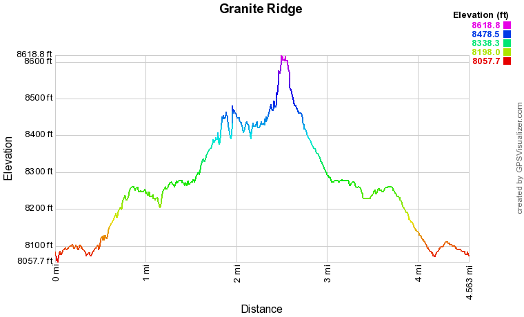
Distance: 4.5 mi (RT)
Elevation Gain: 900 Ft
Elevation Min/Max: 8,057.7 ft, 8,612.2 ft
Trailhead Lat/Long: 40.77750, -105.53849
Managing Agency: U.S. Forest Service
Fee: None

