|
DIRECTIONS: The Grand Mesa Visitor Center is located off of Hwy 65, just east of Island Lake. From Mesa, CO, take Hwy 65 south for 30 miles to the Visitor Center. From Cedaredge, CO take Hwy 65 north for 23 miles to the Visitor Center.
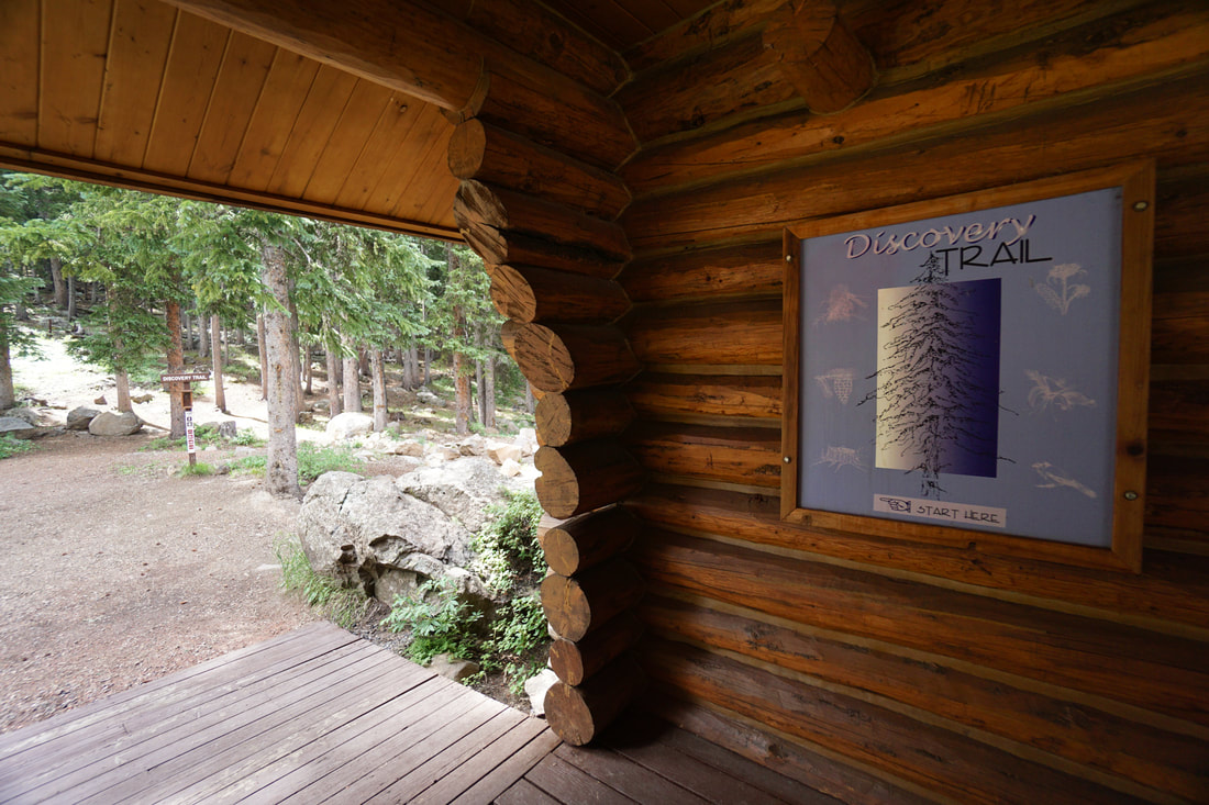
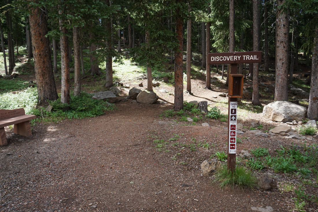
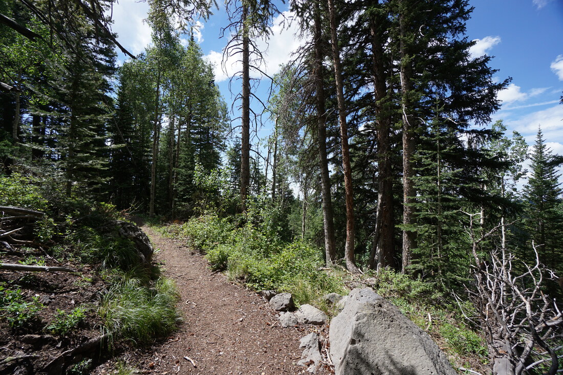
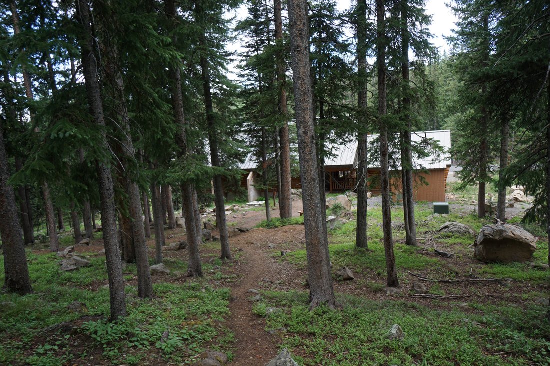
The Grand Mesa Discovery Trail is a short easy hike located just behind the Visitor Center. The trail follows a series of educational landmarks and an accompanying guide is available at the trailhead or in the Visitor Center. This is a great way to learn about the geology and natural resources of the Grand Mesa. The trail is great for kids and serves as a good introduction to the area.
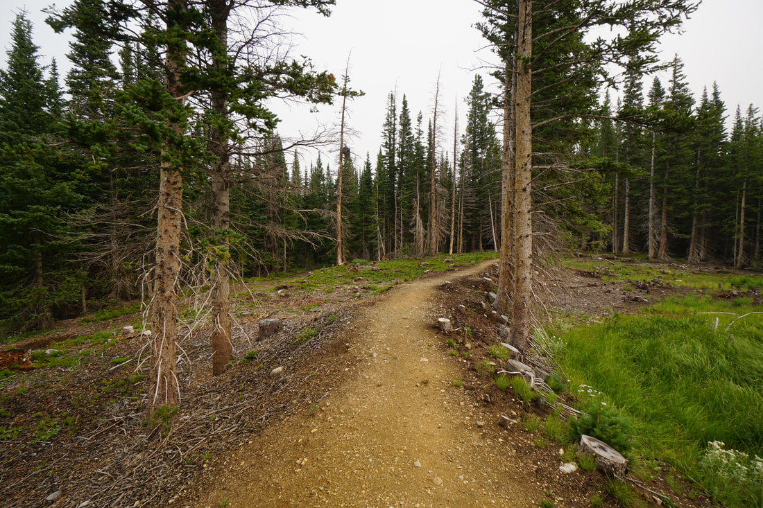
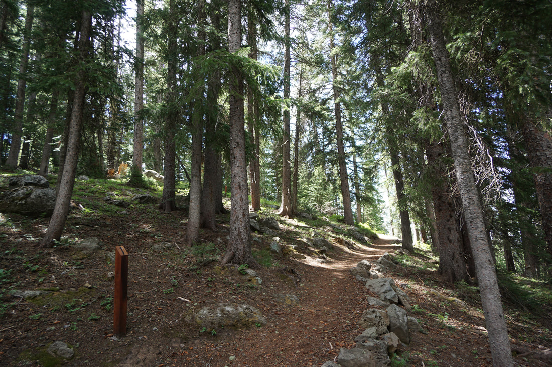
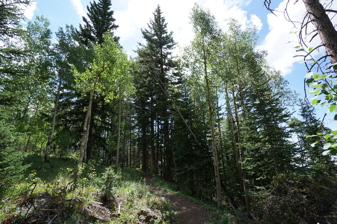
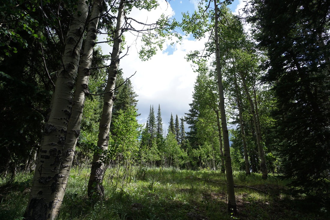
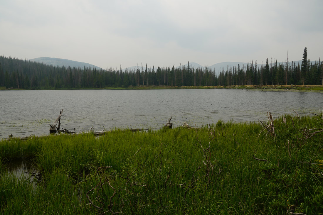
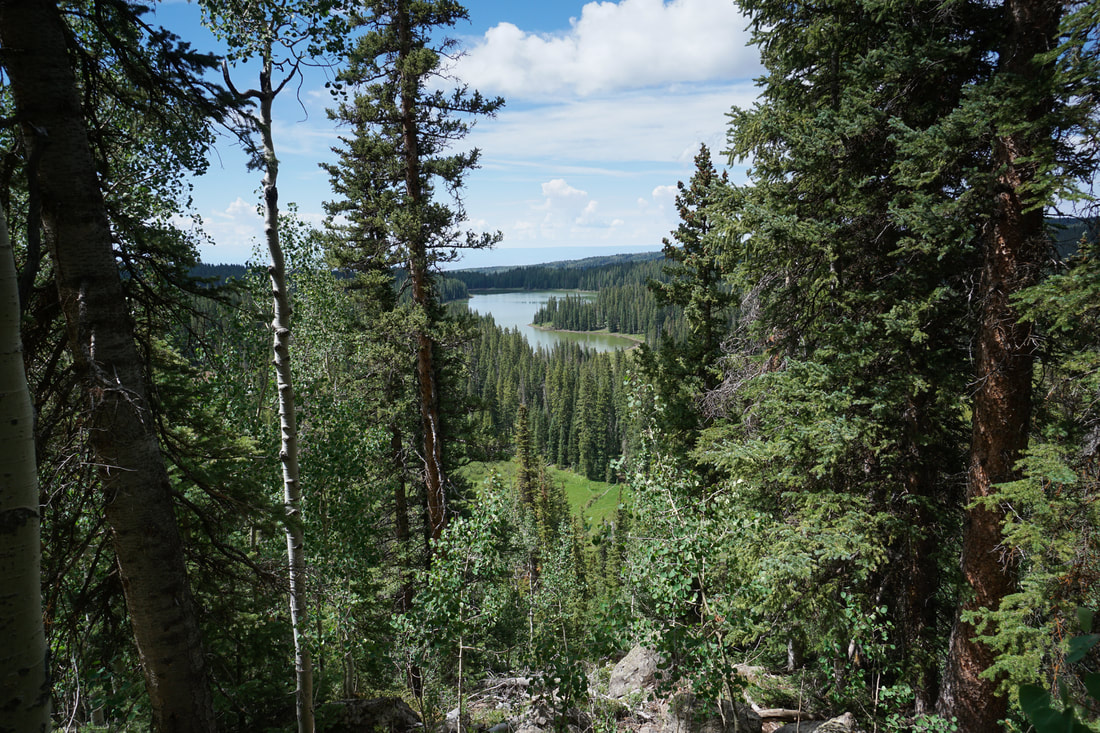
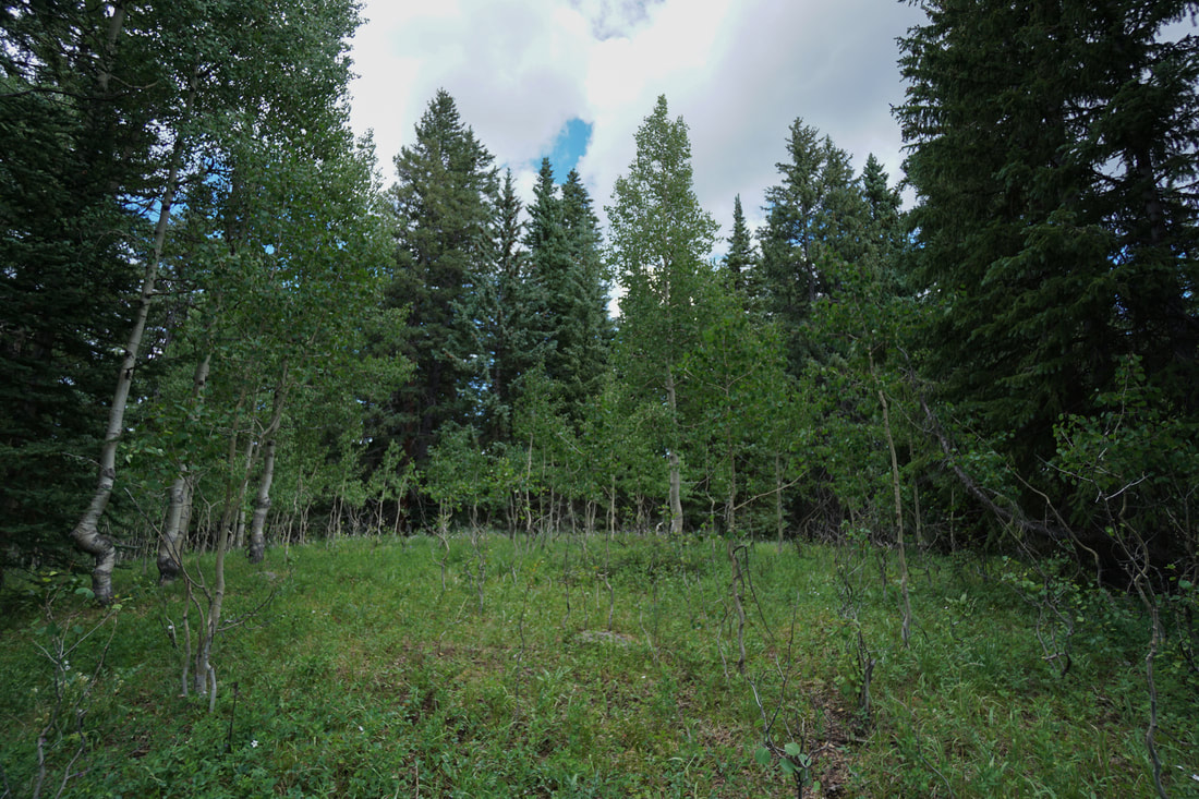
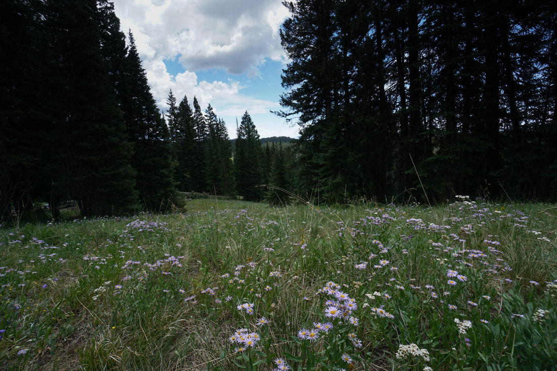
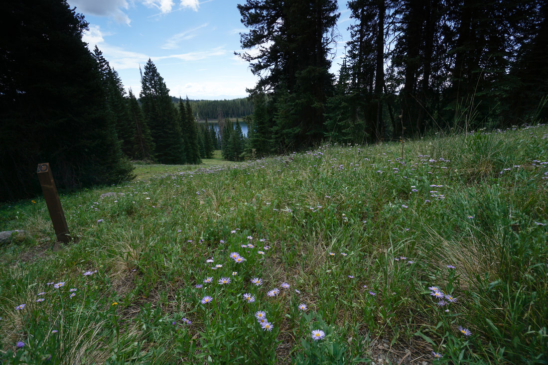
From the trailhead behind the Visitor Center, the trail switchbacks up through the forest to a nice viewpoint. Along the way you'll pass through pine and aspen forests. The viewpoint looks down on the Deep Slough Reservoir and is very scenic. After the viewpoint the trail turns to the north and descends through some meadows back to the pine forest and back to the Visitor Center. This short and easy hike is a nice addition to your Grand Mesa visit and is the perfect trail to get accustomed to the Grand Mesa environment. |
|
- HOME
- ABOUT
-
HIKES BY REGION
-
NATIONAL PARK HIKES
- BENT'S OLD FORT NATIONAL HISTORIC SITE
- BLACK CANYON OF THE GUNNISON NATIONAL PARK
- COLORADO NATIONAL MONUMENT
- CURECANTI NATIONAL RECREATION AREA
- DINOSAUR NATIONAL MONUMENT
- FLORISSANT FOSSIL BEDS NATIONAL MONUMENT
- MESA VERDE NATIONAL PARK
- ROCKY MOUNTAIN NATIONAL PARK
- GREAT SAND DUNES NATIONAL PARK
- HOVENWEEP NATIONAL MONUMENT
- SAND CREEK MASSACRE NATIONAL HISTORIC SITE
- YUCCA HOUSE NATIONAL MONUMENT
- HIKES BY CATEGORY
- NEWS
- WEBCAMS
- $UPPORT GHC
- INTERACTIVE MAP
Grand Mesa Discovery Trail
Grand Mesa National Forest
Date Hiked: July 17, 2020
Distance: .4 mi (RT);
Elevation Gain: 280 ft;
Elevation Min/Max: 10,236 to 10,364 ft
Trailhead Lat/Long: 39.03964, -107.98657
Managing Agency: U.S. Forest Service
Fee: None