|
|
|
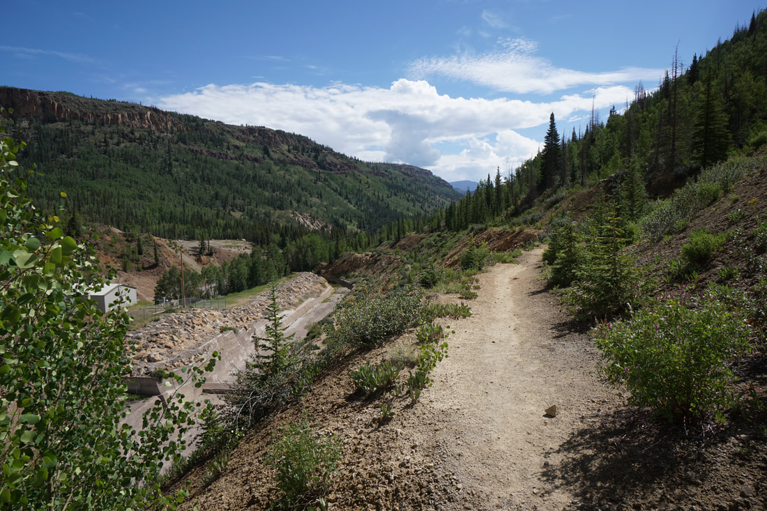
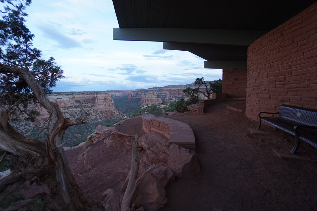
Directions: From Bailey, drive west on Hwy 285 for 14.3 miles. Turn right (north) onto Hall Valley Road (Park County Road #60/Forest Service Road #120). Travel on Hall Valley Road for a total distance of 6.5 miles to the trailhead. You will pass Handcart Campground at mile 4.8 and Hall Valley Campground at mile 5.1. At mile 5.0, just before Hall Valley Campground, bear left at the fork in the road. The last 1.4 miles above Hall Valley Campground are very rough, and border on being classified as a 4WD road. About 250 yards past the Hall Valley Campground there is a large stream crossing with a footbridge crossing on the edge. This is where I stopped and started hiking. Depending on the depth of the water you may be able to drive an SUV past the stream crossing, 4WD vehicles should have no problem with the crossing and the remainder of the road. From the stream crossing its a little more than 1 mile to the Gibson Lake Trailhead. The remainder of the road to the trailhead has some rough rocky patches.
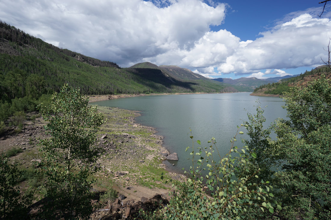
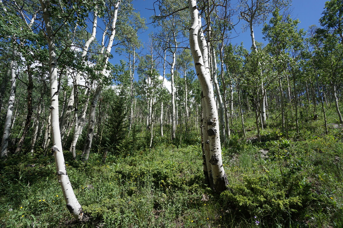
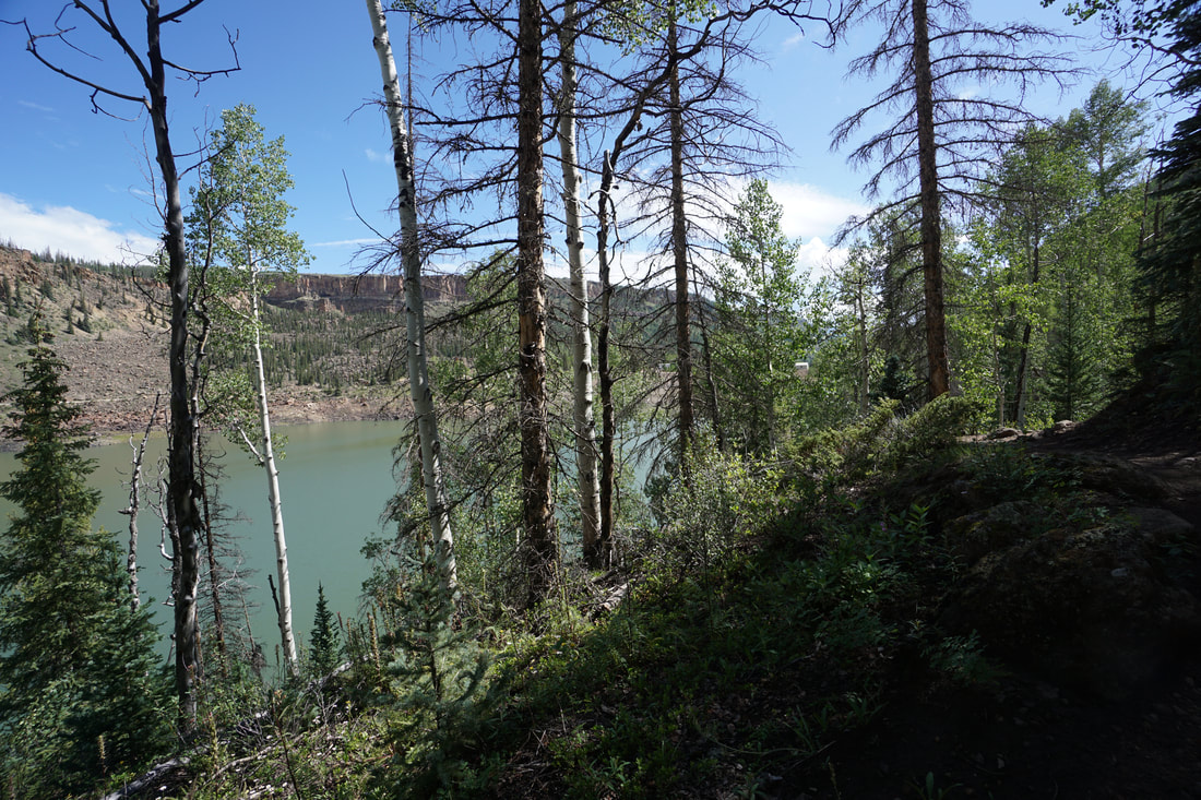
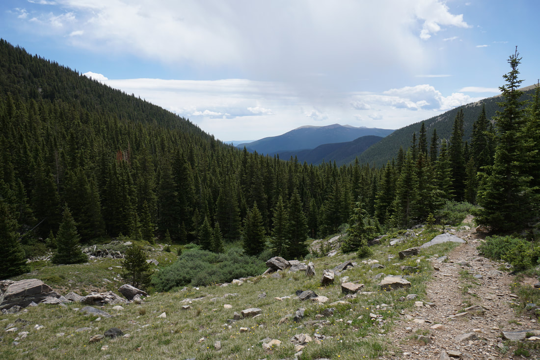
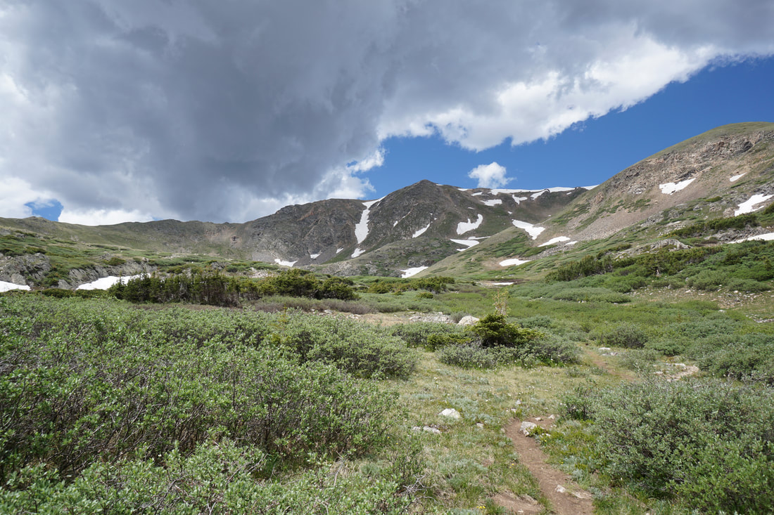
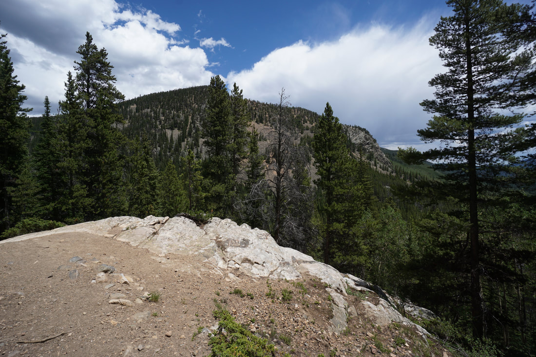
The hike to Gibson Lake is a wonderful, scenic, moderate outing to a beautiful alpine lake. The hike itself is not a difficult hike, the grade is level and the trail is easy to follow. If you start your hike at the stream crossing, as described here, then your hike begins with an easy walk up the dirt road. This is a beautiful stretch of road, cutting through picturesque aspen groves (should be amazing in the fall) with some nice views of the valley. As you near the Gibson Lake Trailhead, the aspen groves turn to pine forest.
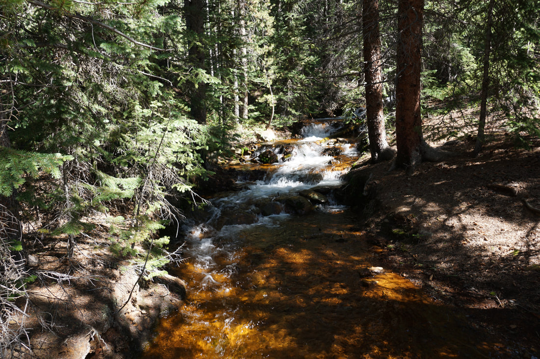
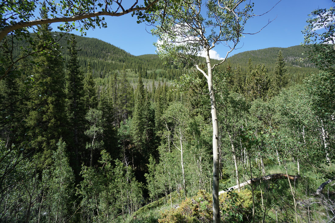
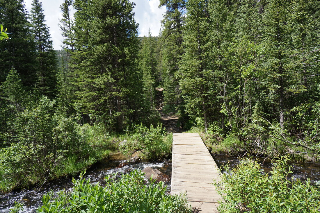
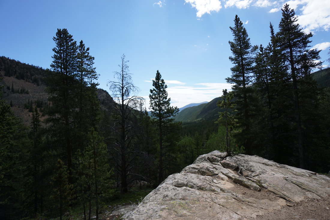
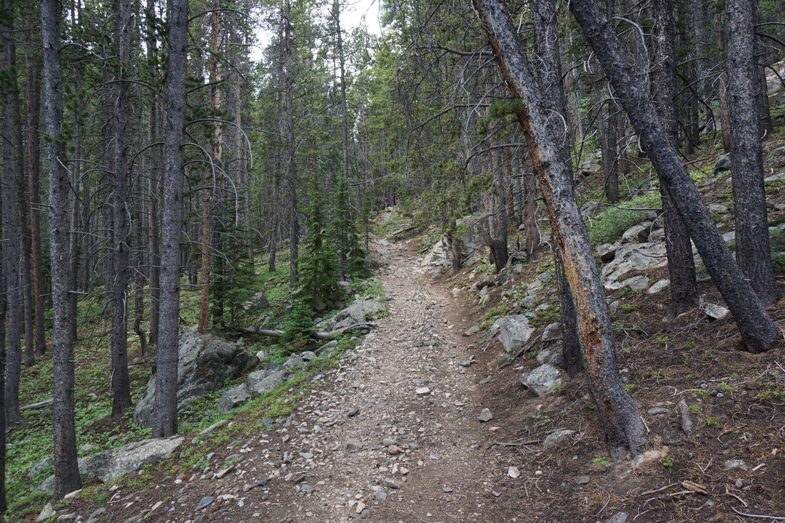
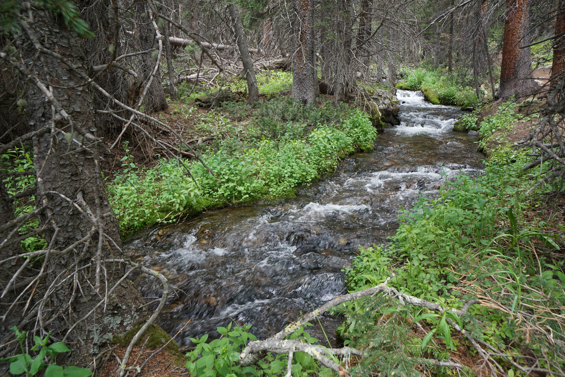
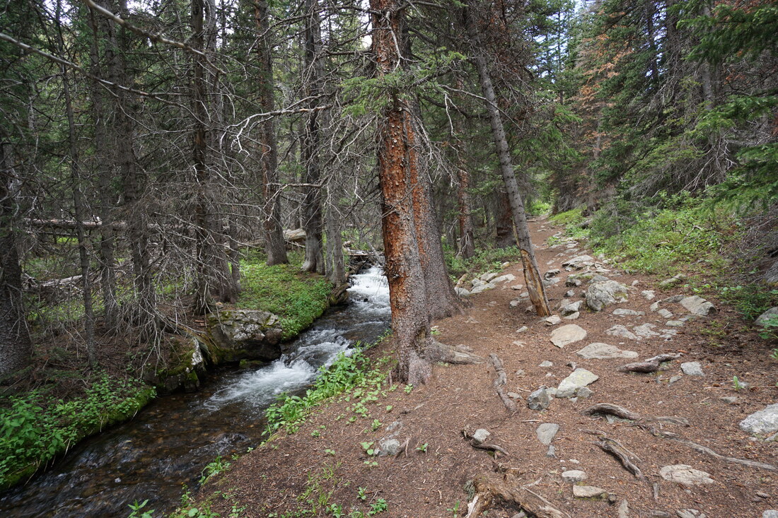
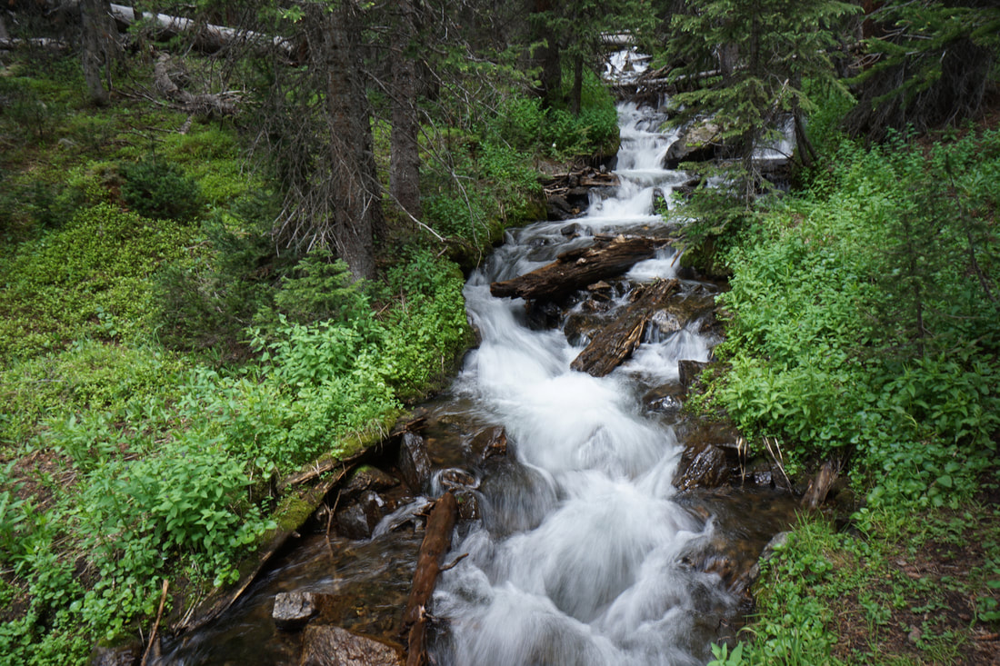
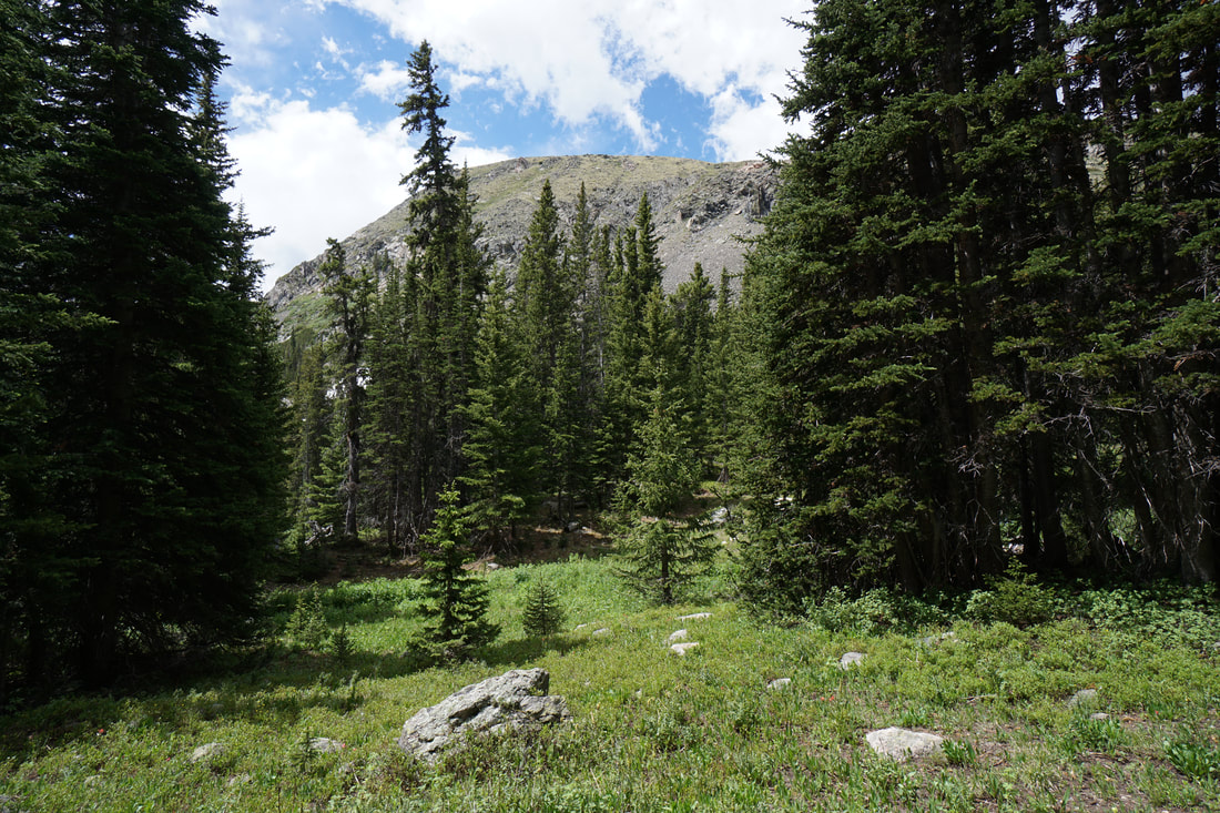
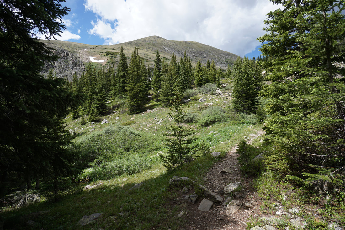
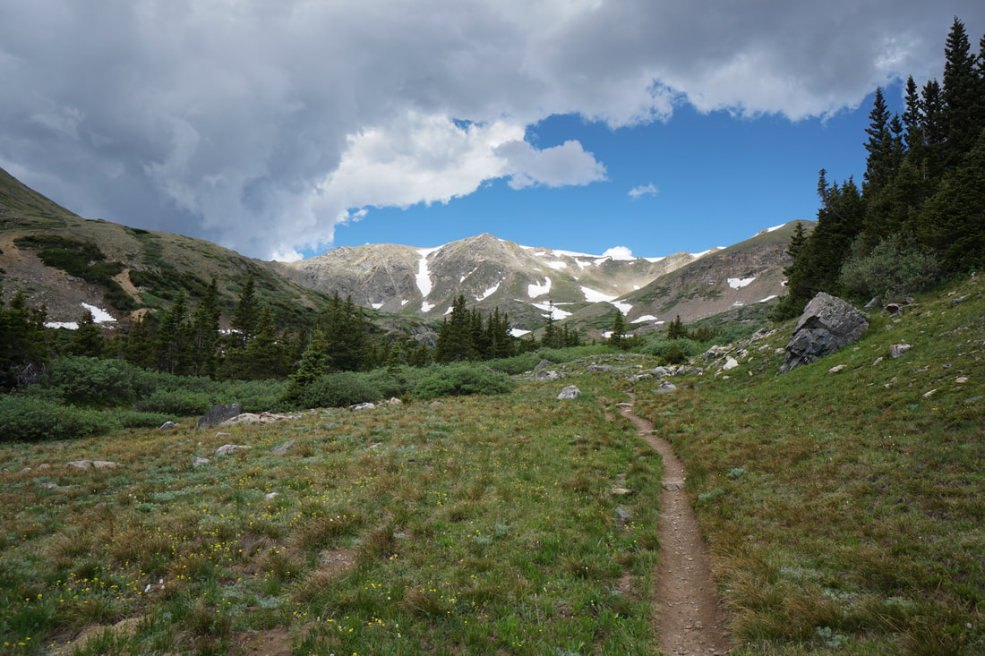
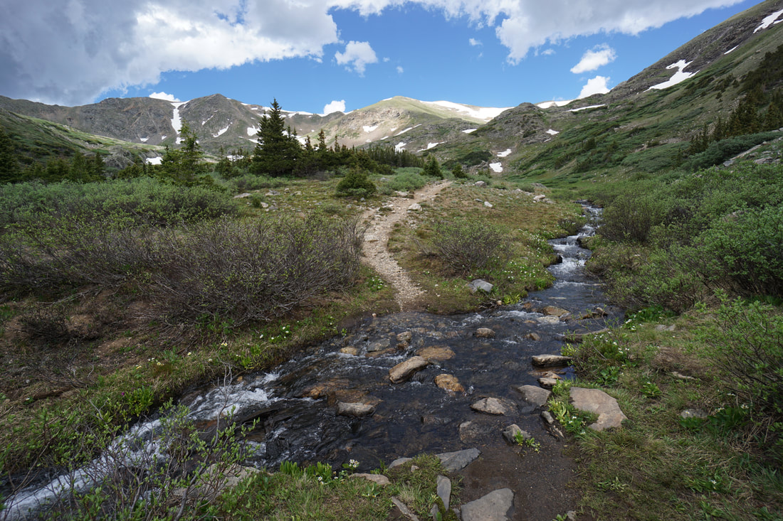
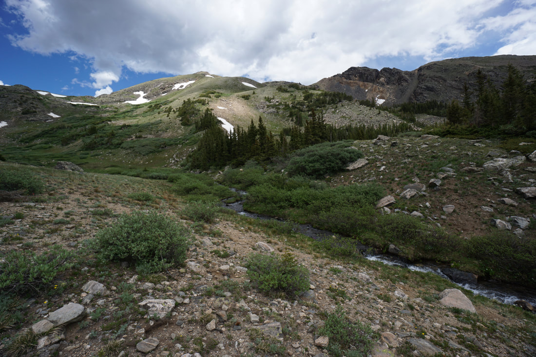
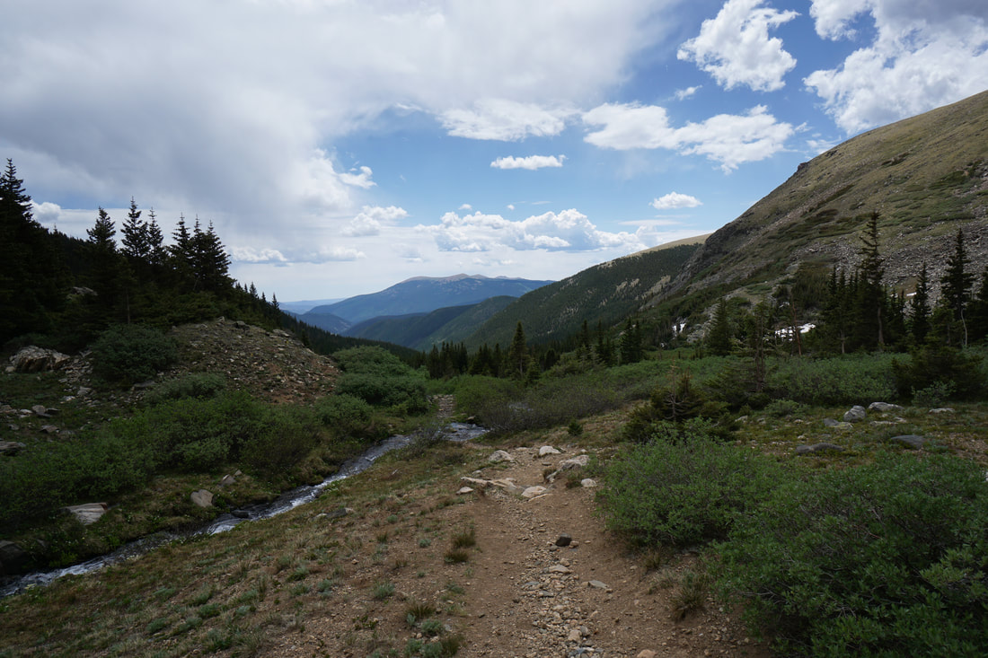
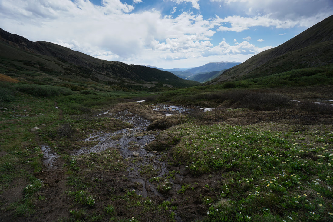
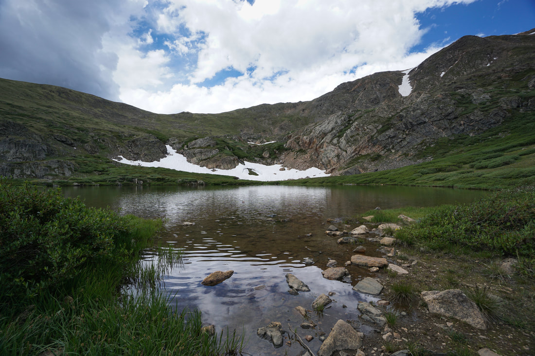
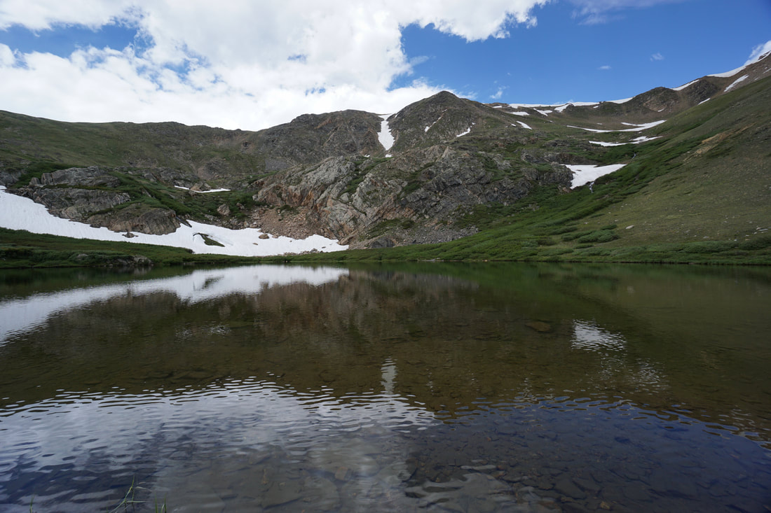
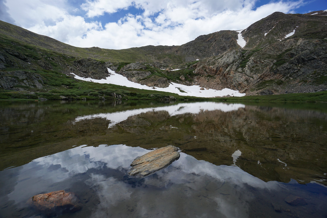
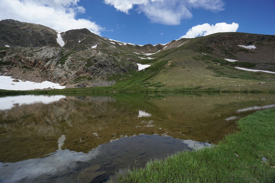
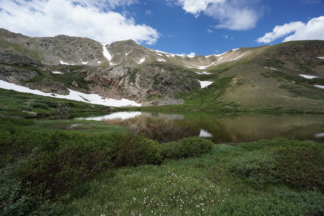
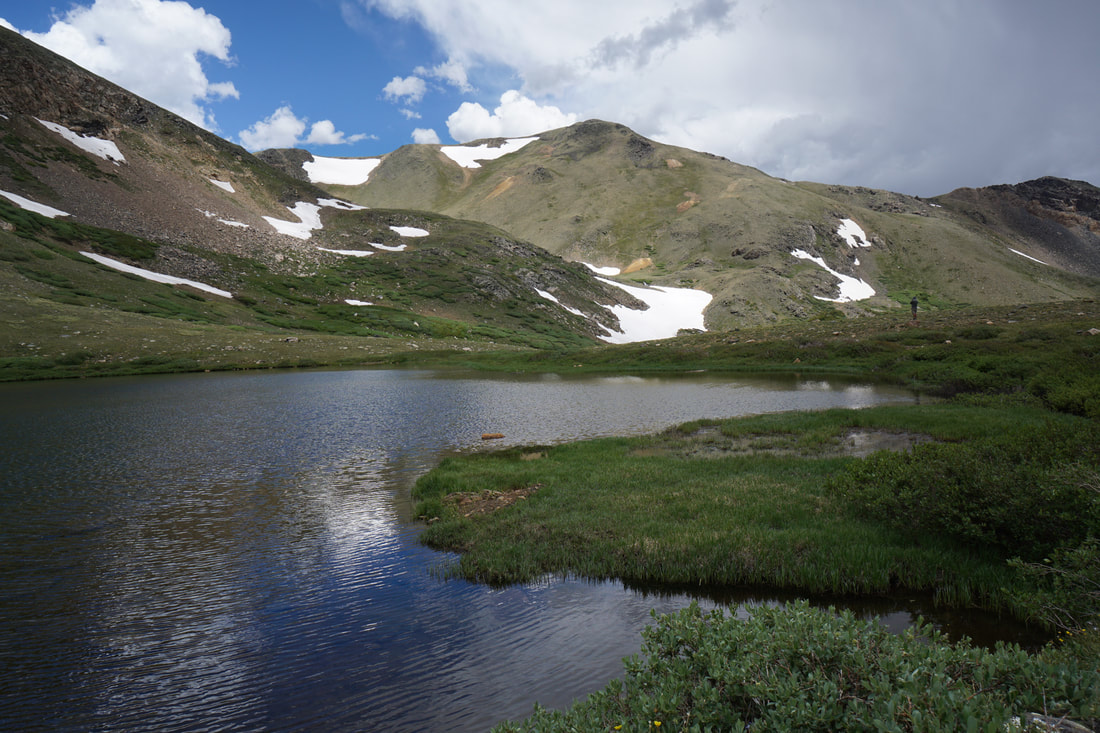
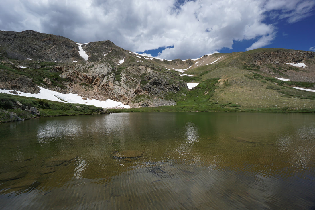
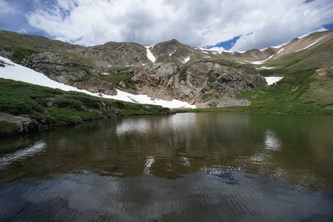
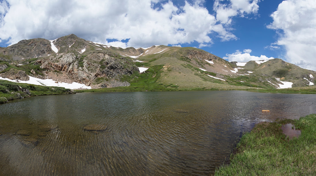
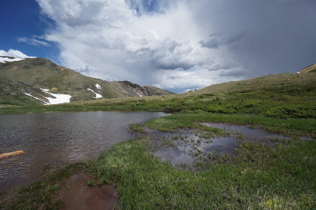
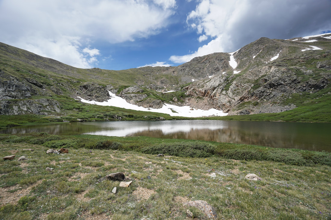
The Gibson Lake Trail begins at the eastern end of the parking area and soon enters the forest. Look out for a right turn soon after the pass the trail sign, this turn is easy to miss. Just down the trail from the turn is a footbridge so look for the bridge as a landmark. After the bridge, the trail begins a steady, sometimes steep climb up through the forest. As the trail climb up the basin, the trail parallels the Lake Fork River. Meadows and clearings begin to appear with abundant wildflowers and views of the edge of the basin. Before too long, the trees start to thin as you approach treeline. Once the walls of the basin start to appear, the views become magnificent looking back to the south on the Kenosha Mountains and up head towards the basin. Once the trail starts to level off, you pick your way through willows and intermittent streams until you reach Gibson Lake. The lake is stunning with Whale Peak dominating the backdrop. There are small trails running along the shores and plenty of room to find a nice spot for a well deserved break. The route back to the trailhead is the same so just retrace your steps. This is a terrific hike in an area that gets a lesser amount of visitors. |
|