GO HIKE COLORADO
Get in Touch:
  • HOME
  • ABOUT
  • HIKES BY REGION
    • DENVER AREA >
      • Denver Mountain Parks
      • Jefferson County Open Space
      • Lakewood Parks
      • Denver Area Greenways
    • BOULDER AREA
    • DOUGLAS COUNTY
    • FORT COLLINS AREA
    • COLORADO SPRINGS AREA
    • FRONT RANGE
    • TENMILE & MOSQUITO RANGES
    • GORE RANGE
    • SANGRE DE CRISTO MOUNTAINS
    • PARK RANGE
    • SAWATCH RANGE
    • ELK MOUNTAINS
    • SAN JUAN MOUNTAINS
    • THE FLAT TOPS
    • GRAND MESA
    • COLORADO PLATEAU
    • EASTERN PLAINS
  • NATIONAL PARK HIKES
    • BENT'S OLD FORT NATIONAL HISTORIC SITE
    • BLACK CANYON OF THE GUNNISON NATIONAL PARK
    • COLORADO NATIONAL MONUMENT
    • CURECANTI NATIONAL RECREATION AREA
    • DINOSAUR NATIONAL MONUMENT
    • FLORISSANT FOSSIL BEDS NATIONAL MONUMENT
    • MESA VERDE NATIONAL PARK
    • ROCKY MOUNTAIN NATIONAL PARK
    • GREAT SAND DUNES NATIONAL PARK
    • HOVENWEEP NATIONAL MONUMENT
    • SAND CREEK MASSACRE NATIONAL HISTORIC SITE
    • YUCCA HOUSE NATIONAL MONUMENT
  • HIKES BY CATEGORY
    • HIKES TO ALPINE LAKES
    • HIKES TO PEAKS & PASSES
    • HIKES THROUGH CANYONS
    • HIKES WITH FALL COLORS
    • HIKES ALONG THE I-70 CORRIDOR
    • HIKES ON PAVED TRAILS
    • HIKES FOR KIDS
    • HIKES TO WATERFALLS
    • HIKES ALONG RIVERS
    • HIKES WITH ROCK FORMATIONS
    • HIKES WITH WILDFLOWERS
    • WINTER HIKES
  • NEWS
  • WEBCAMS
  • $UPPORT GHC
  • INTERACTIVE MAP

Fallen Timbers Wilderness
Fox Run Regional Park

Date Hiked: February 25, 2012

Distance: 2.6 mi (RT)
Elevation Gain: 300ft
Elevation Min/Max: 7,287 to 7,545ft
Managing Agency: El Paso County
Fee: None

Fox Run Regional Park Website
Picture

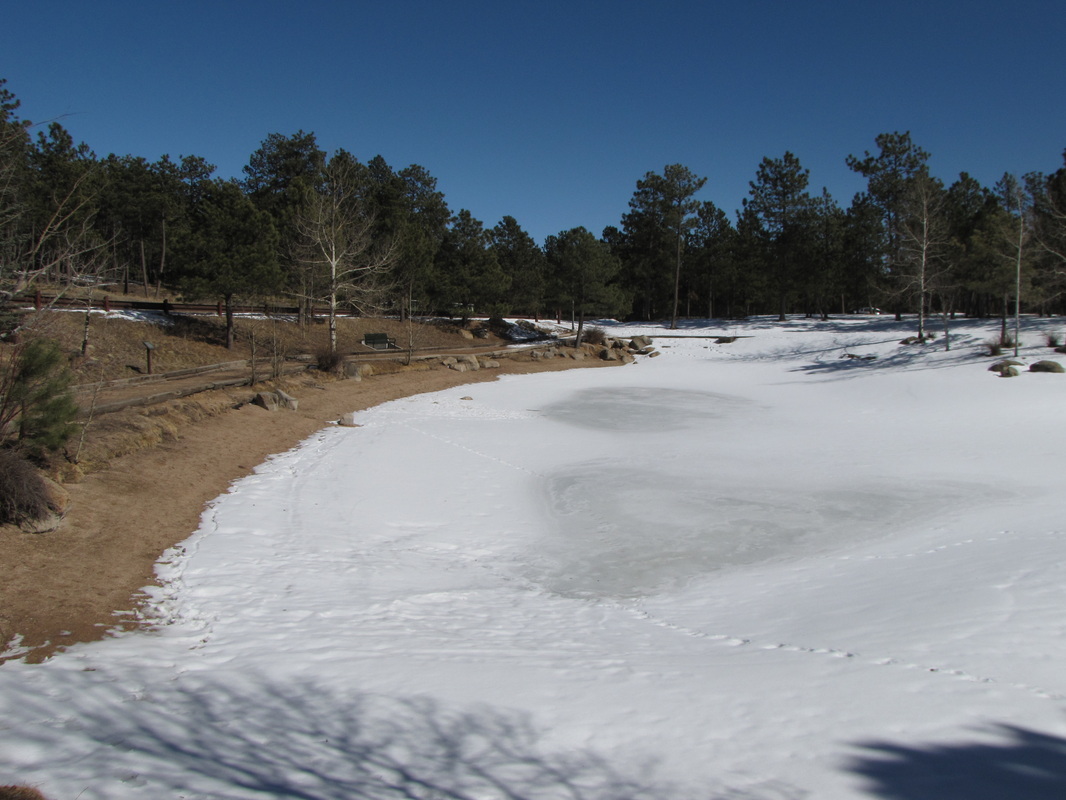
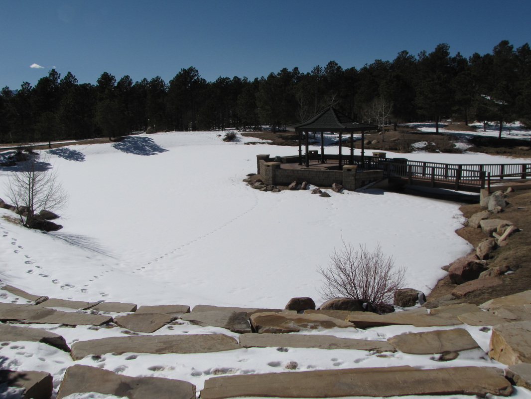
Directions: From Colorado Springs take I-25 take exit 156A to Northgate Blvd.  Head east on N. Gate Blvd and turn left (north) on Old North Gate Rd and left again on Roller Coaster Rd.  Turn left (west) on Stella Drive and right into the park’s main entrance.  At the intersection turn right, then left towards the picnic and lakes area.  The trailhead is across the road from Spruce Lake and the Wedding Gazebo.

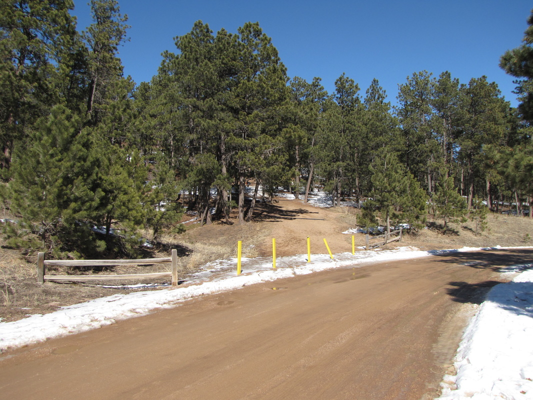
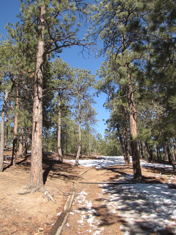
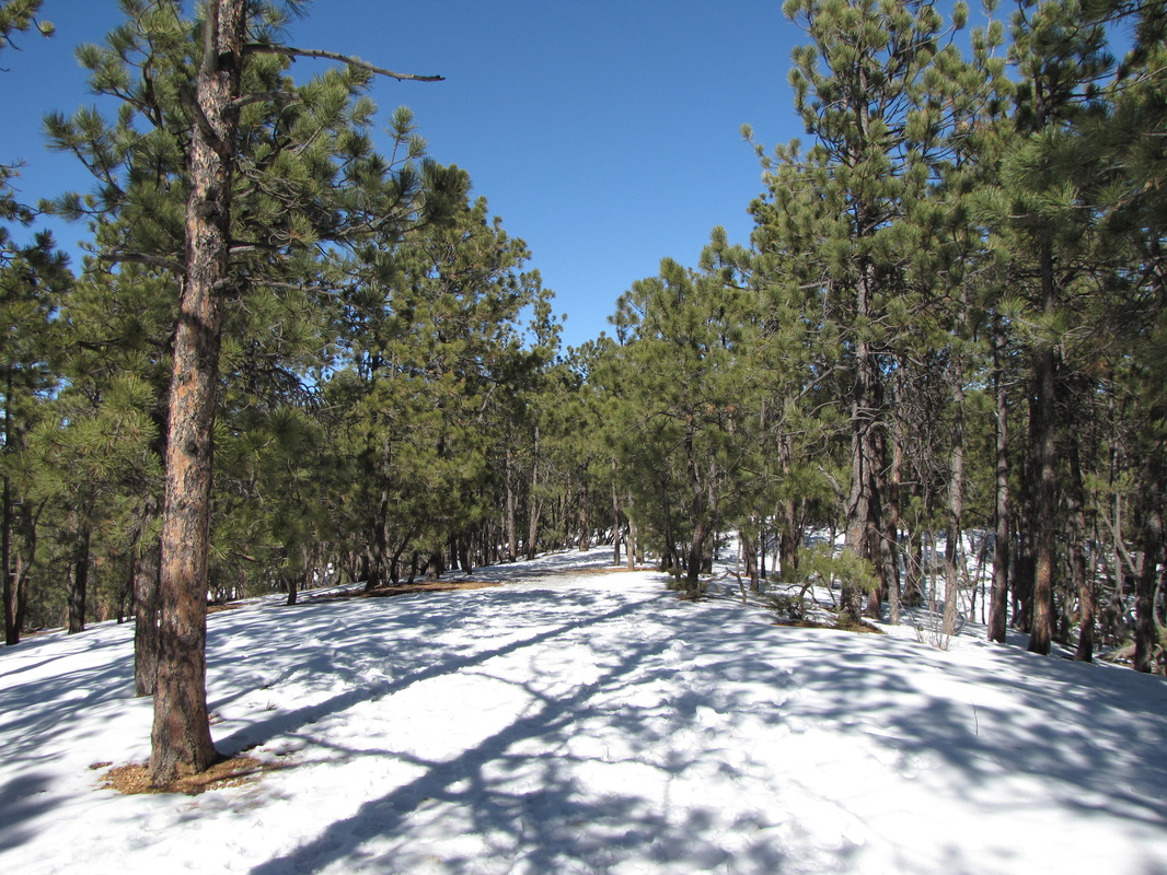
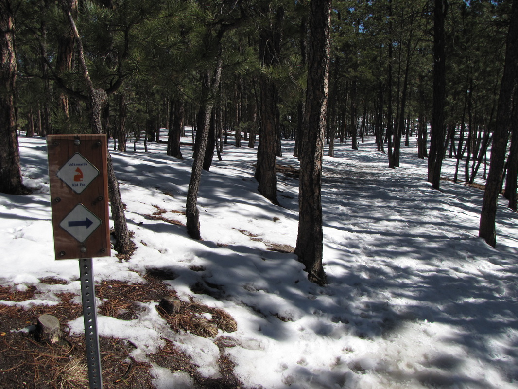
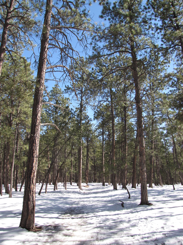
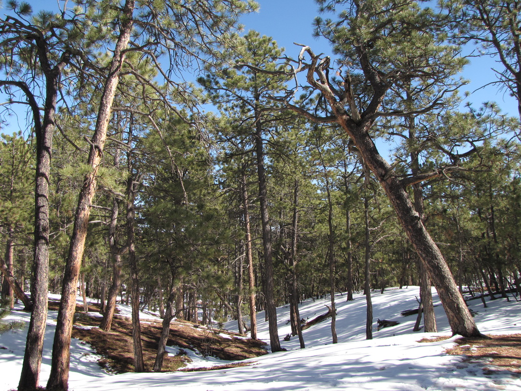
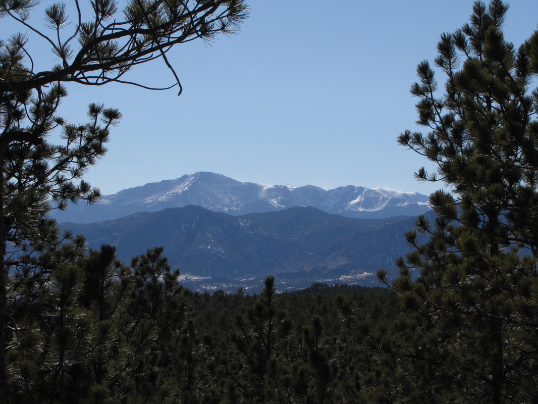
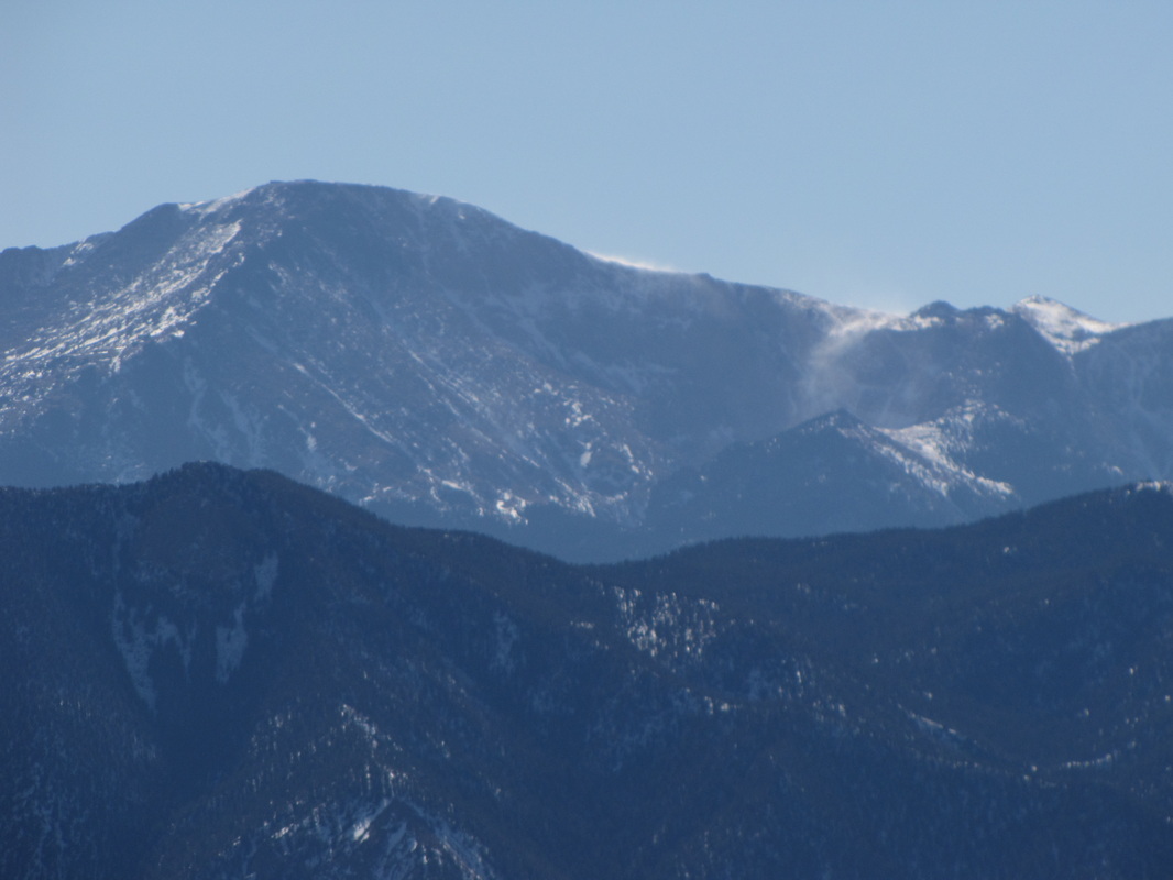
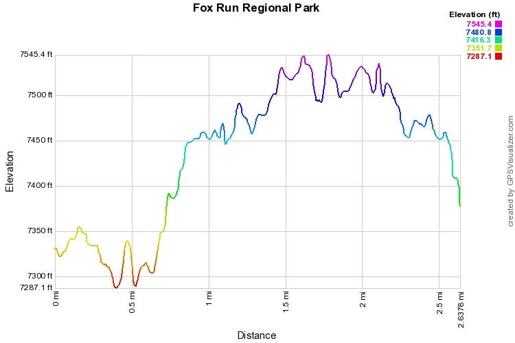
Fox Run Regional Park is a popular park located in the northern part of the Black Forest of El Paso County.  The park has many recreational facilities including a trail system in the Fallen Timbers Wilderness Area.  There is a double loop trail in the northern section of the park and a trail in the eastern section as well.  This hike follows the northern loop.

From the lakes area head north for almost .3 miles to the Fallen Timbers Loop Area.  Turn right and follow the trail through the woods when you reach the junction .3 mi into the loop, you can either stay straight for .5 mi to complete the loop or turn left and cut off the eastern portion of the loop.  Turning left saves you .2 miles.  Either way when you reach the northern intersection continue to the west for .6 miles to complete the loop and rejoin the connector trail that you started on heading back to the lakes and the trailhead.

The trails here are short, but pleasant and the forest is impressive.   There is also a dog park, picnic areas, and other recreational activities that you can combine with the hike for a pleasant afternoon in the Black Forest.


© Go Hike Colorado, 2020.  All Rights Reserved. 
Use of photographs without prior authorization is
​strictly prohibited.


Contact us at:
[email protected]
Legal Disclaimer - Information provided on this site is based upon our own observations, always double check information with the appropriate land management agency before heading into the backcountry.  Backcountry travel is inherently dangerous, please take all proper precautions.  Go Hike Colorado is not responsible for injury or incident.