|
|
|
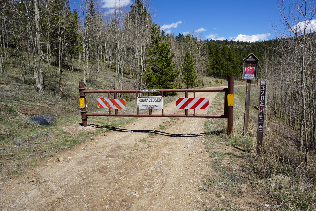
DIRECTIONS: From Nederland, CO, head north on State Highway 72 also known as the Peak to Peak Highway for 7.5 miles and turn right at an unsigned dirt road. This road is 3/4 of a mile past the popular turnoff for Sourdough Trail and Rainbow Lakes. Follow the rocky dirt road for just a few minutes and turn right to reach the seasonal gate. Low clearance cars should park at the turnoff from 72.
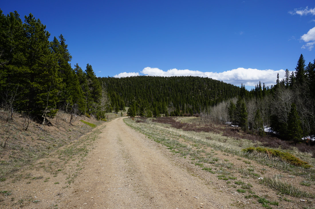
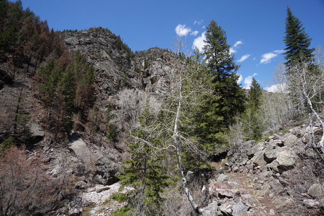
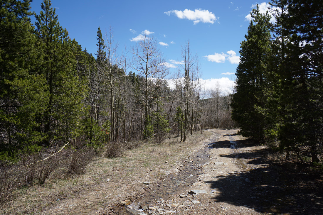
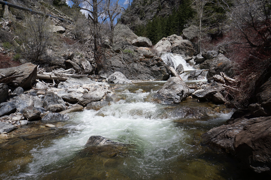
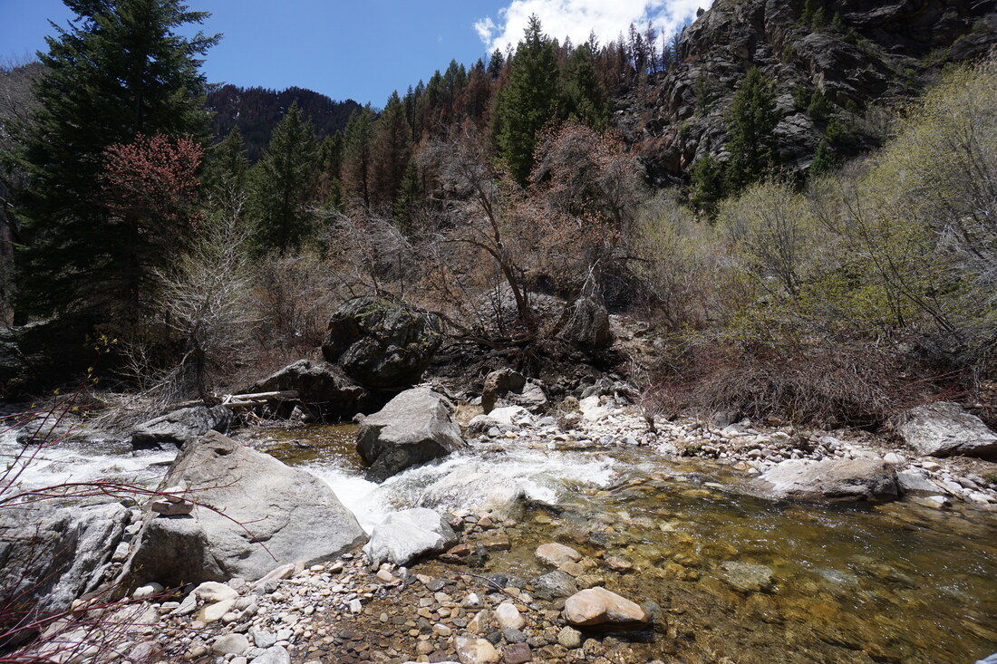
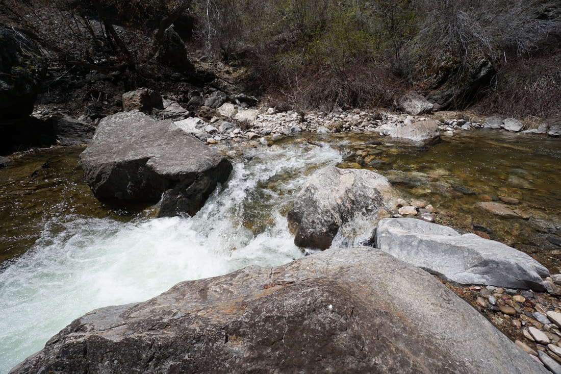
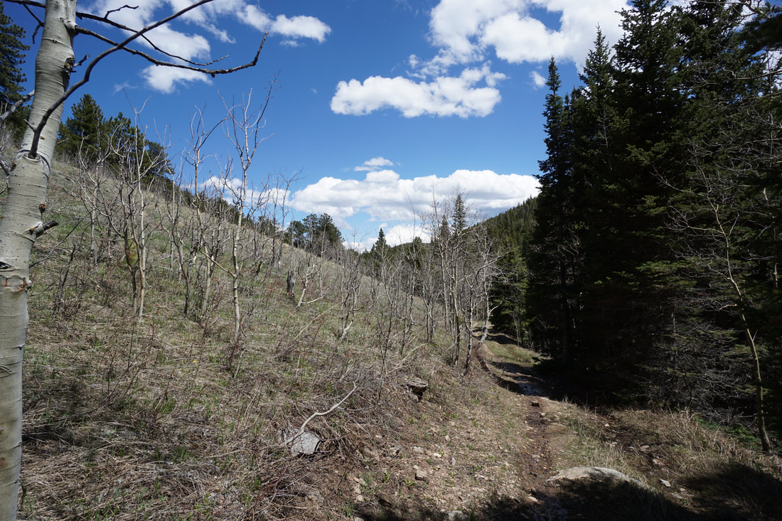
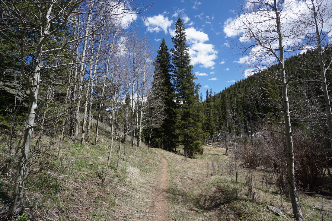
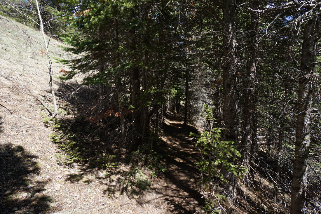
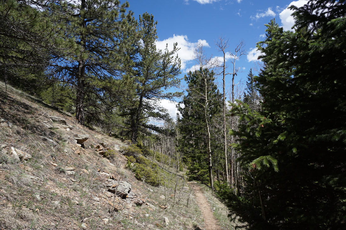
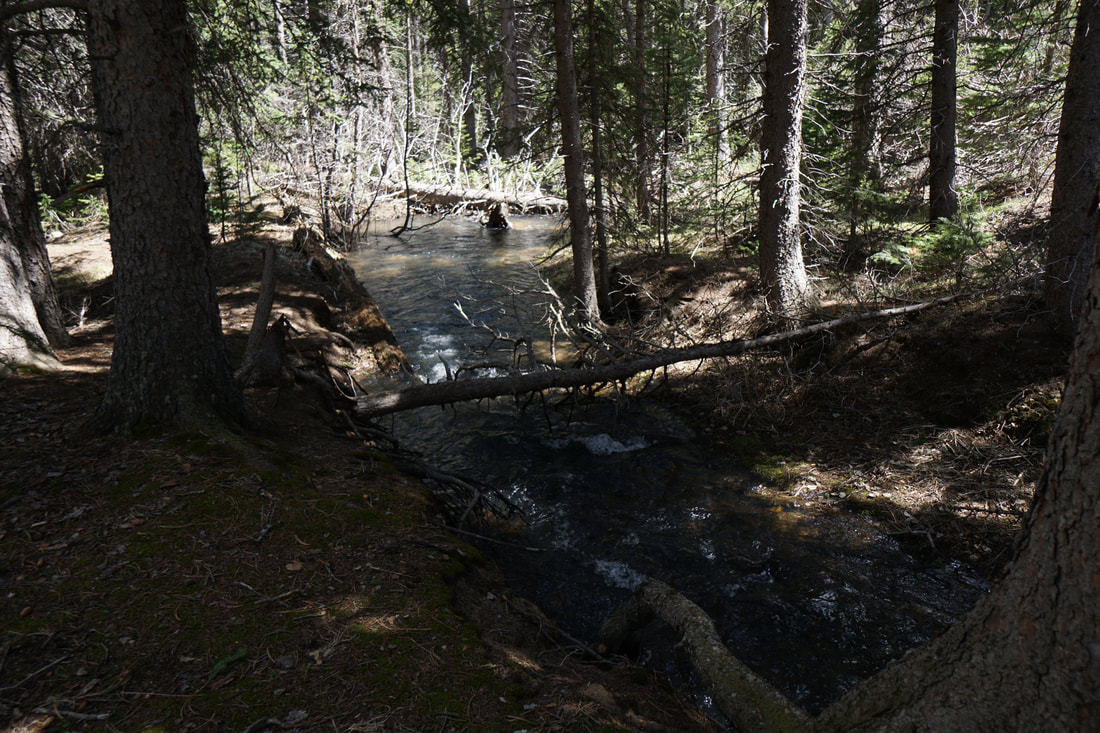
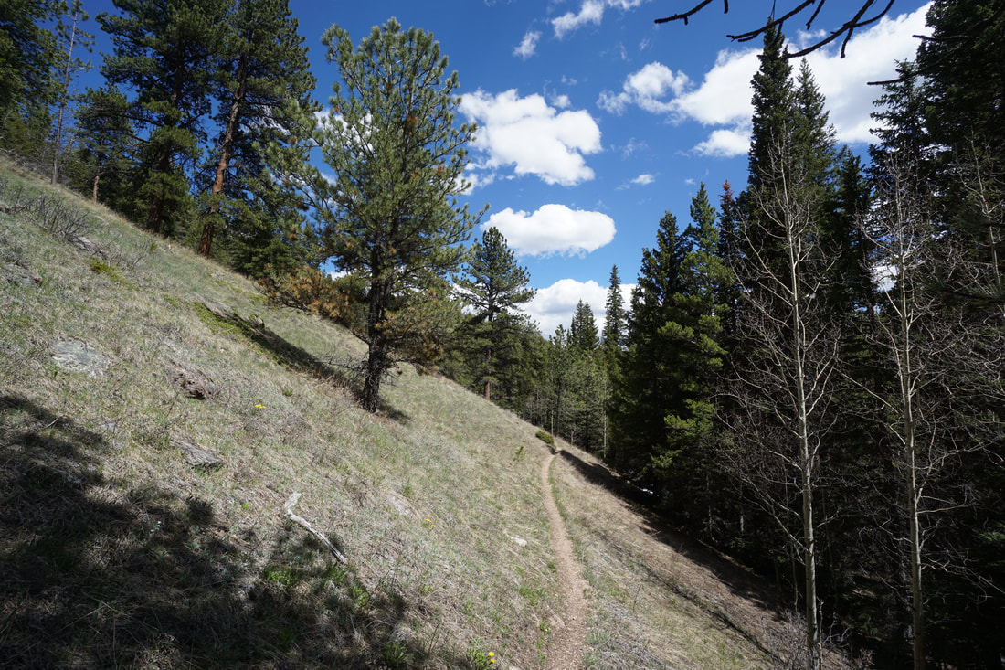
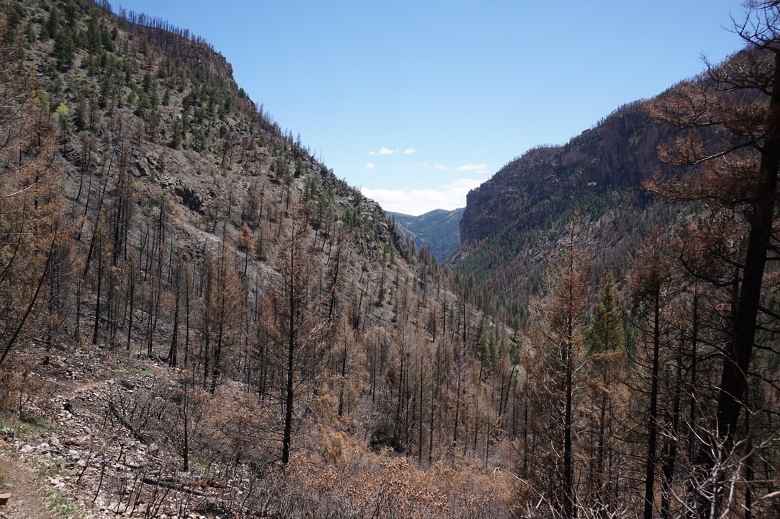
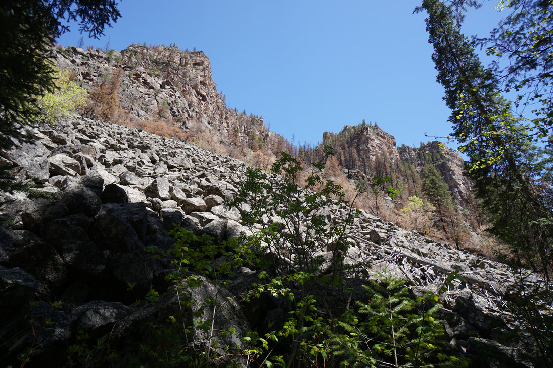
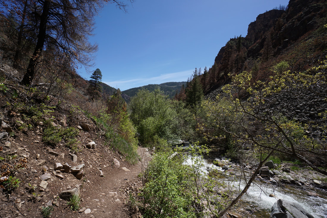
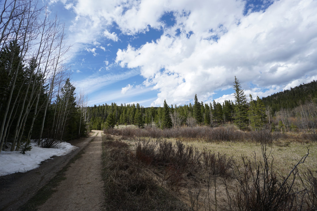
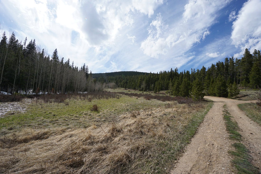
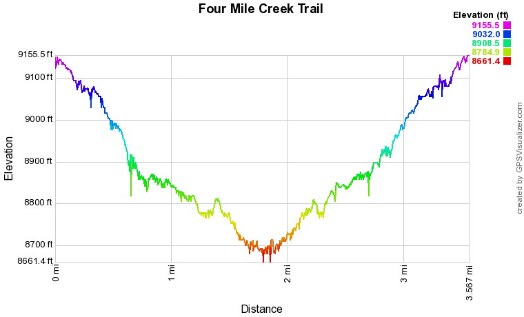
The Fourmile Creek Trail is a hidden gem in the Front Range. The trail follows Fourmile Creek from the Peak to Peak Highway down to an old mining area that is currently being reclaimed. The trail gently slopes downhill for the entirety of the hike and passes through beautiful pine forest with creekside spots to relax and listen to the water.
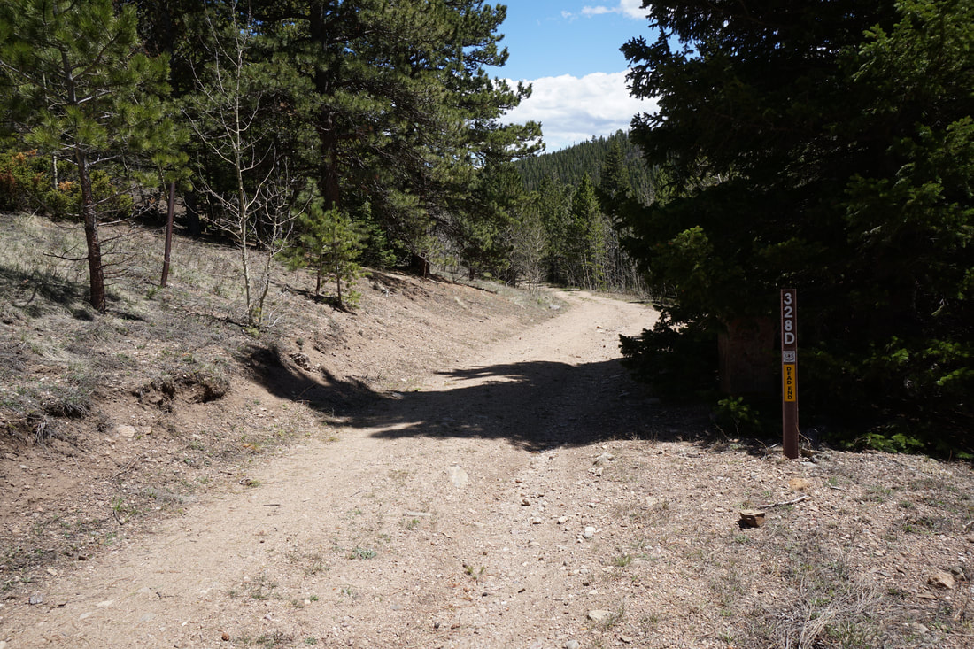
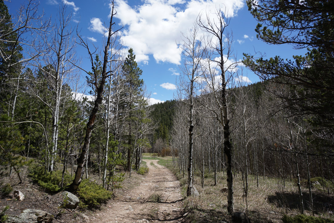
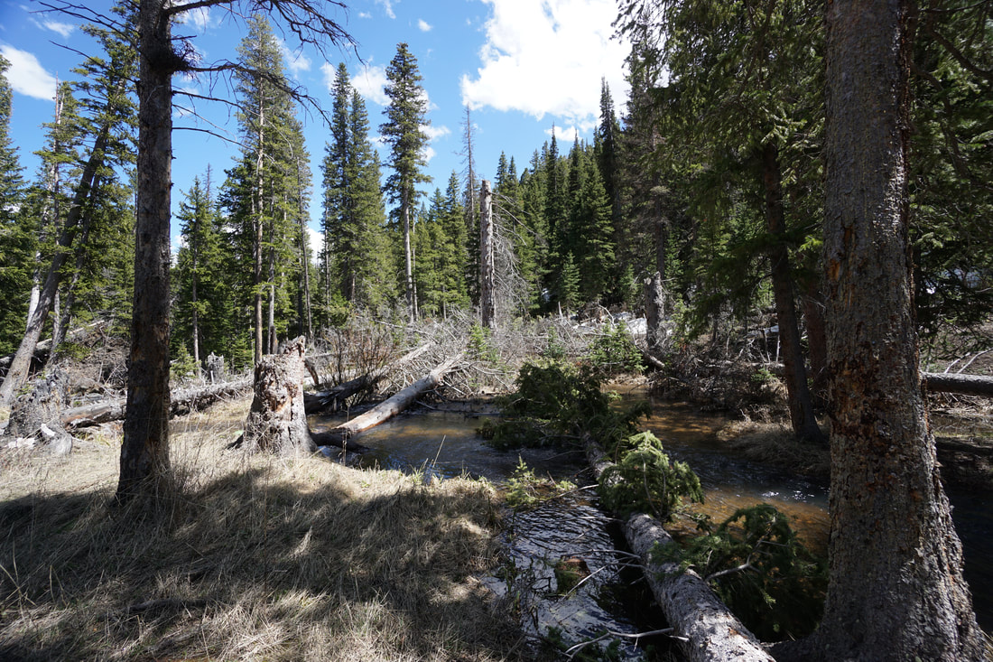
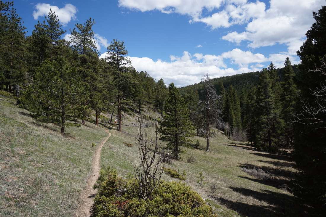
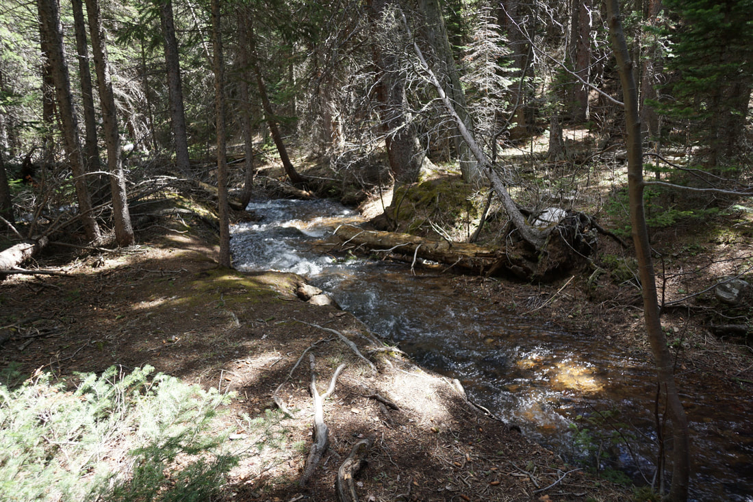
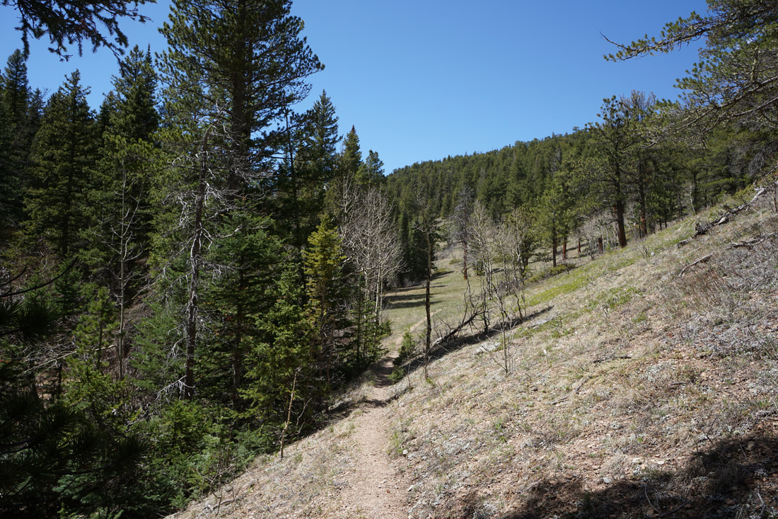
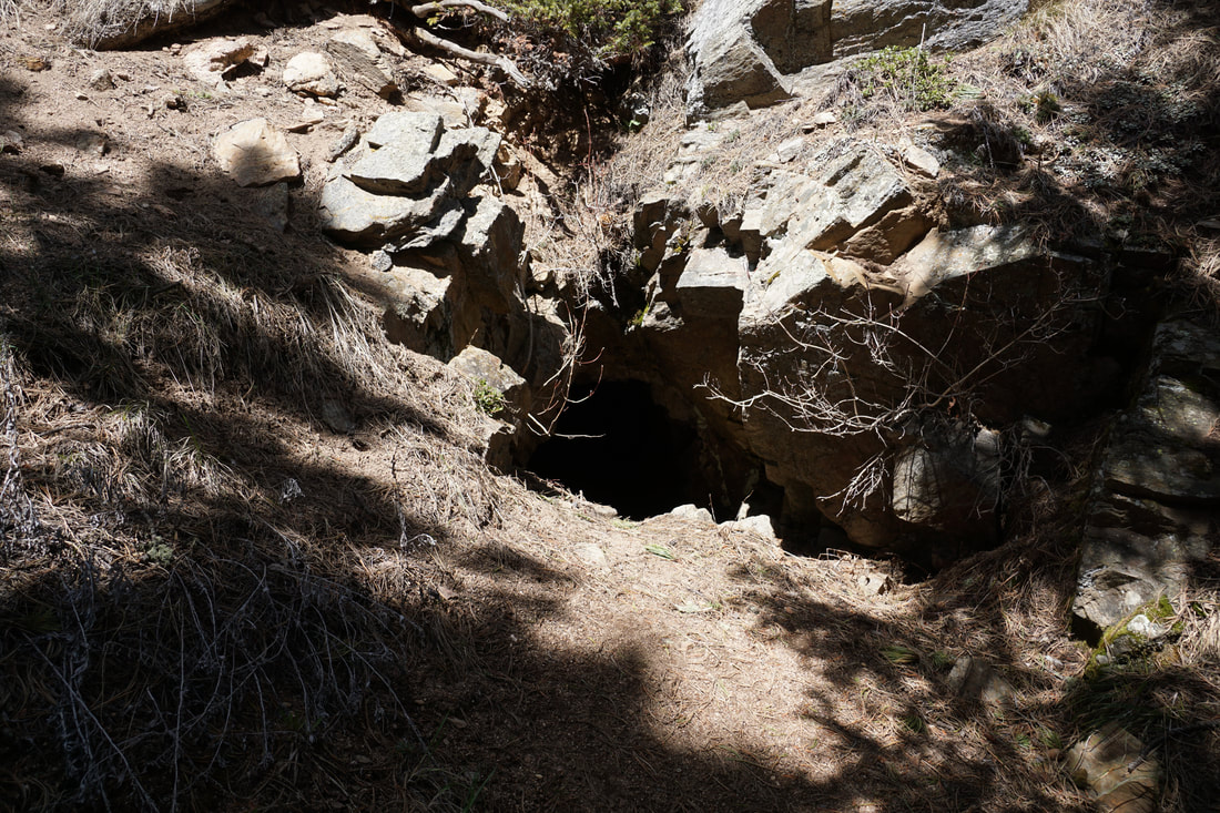
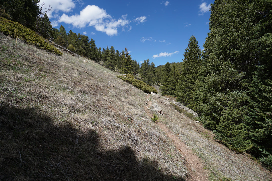
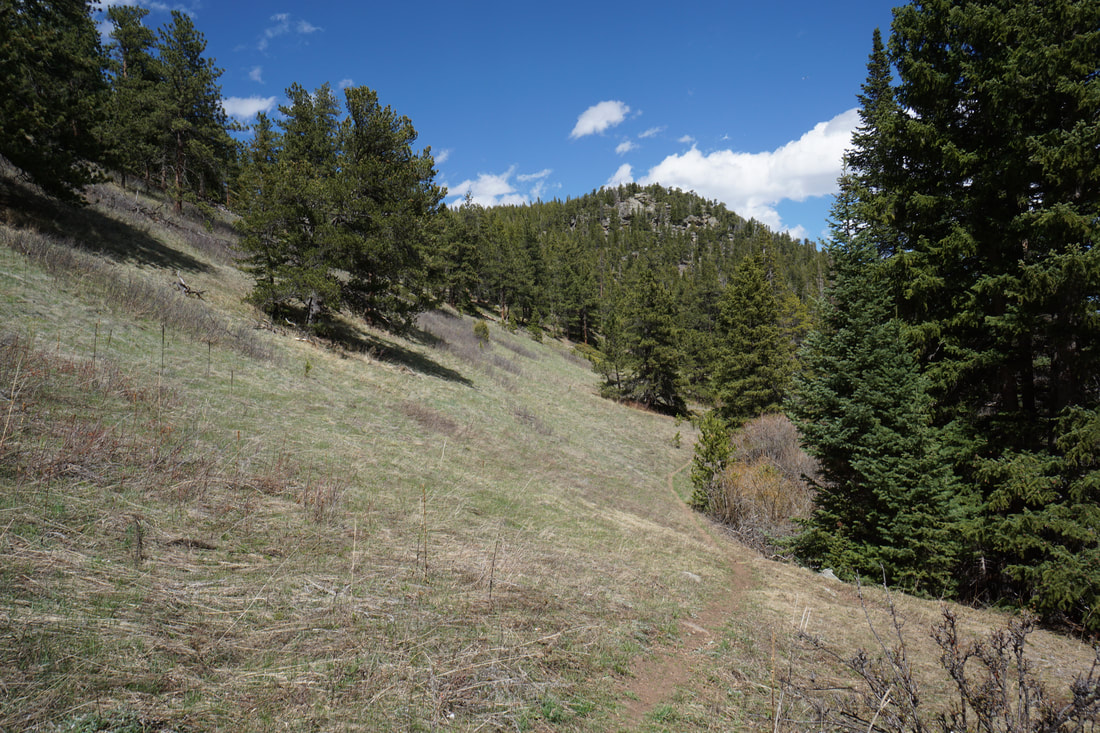
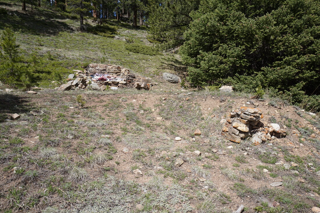
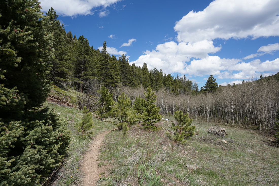
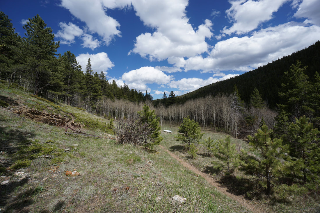
From the parking area at the seasonal gate your hike begins. It may be possible to drive down the dirt road to the official trailhead but I'm not sure when (if ever) the Forest Service opens this road. Assuming the gate is closed, your hike begins by following the road past a marshy meadow, along the creek, and down to the end of the road at a small loop. Along the way there are a few other dirt roads branching off the main road, stay straight. When you reach an obvious fork in the road, take the left fork and make sure you are following the road marked 328D. The official Fourmile Creek Trailhead is at the end of this road. Now on the narrow single track trail, your downhill journey continues. The actual trail is very peaceful and quiet but needs little description. The hike weaves through pine and aspen forest with steep hillsides of either side of the trail. From time to time there are nice spots by the creek to rest. When you begin to see small cave like openings in the rock adjacent to the trail, you are nearing the mining area and the end of the trail. Do not explore the mine openings as they can be unstable and dangerous. The end of the trail is marked by some old mining equipment, rock mounds, and a sign reading Oxbow Mine. The trail continues up ahead as a dirt road, but the Fourmile Trail is concluded. This is one of those hikes where you need to remember that the return journey is completely uphill and save some energy. That being said, the slope is gentle so the return is not too taxing. This is a great trail for the spring time when the higher elevations still have too much snow. It is also a great trail to avoid the crowds and fine a little solitude in the Roosevelt National Forest. |
|