GO HIKE COLORADO
Get in Touch:
  • HOME
  • ABOUT
  • HIKES BY REGION
    • DENVER AREA >
      • Denver Mountain Parks
      • Jefferson County Open Space
      • Lakewood Parks
      • Denver Area Greenways
    • BOULDER AREA
    • DOUGLAS COUNTY
    • FORT COLLINS AREA
    • COLORADO SPRINGS AREA
    • FRONT RANGE
    • TENMILE & MOSQUITO RANGES
    • GORE RANGE
    • SANGRE DE CRISTO MOUNTAINS
    • PARK RANGE
    • SAWATCH RANGE
    • ELK MOUNTAINS
    • SAN JUAN MOUNTAINS
    • THE FLAT TOPS
    • GRAND MESA
    • COLORADO PLATEAU
    • EASTERN PLAINS
  • NATIONAL PARK HIKES
    • BENT'S OLD FORT NATIONAL HISTORIC SITE
    • BLACK CANYON OF THE GUNNISON NATIONAL PARK
    • COLORADO NATIONAL MONUMENT
    • CURECANTI NATIONAL RECREATION AREA
    • DINOSAUR NATIONAL MONUMENT
    • FLORISSANT FOSSIL BEDS NATIONAL MONUMENT
    • MESA VERDE NATIONAL PARK
    • ROCKY MOUNTAIN NATIONAL PARK
    • GREAT SAND DUNES NATIONAL PARK
    • HOVENWEEP NATIONAL MONUMENT
    • SAND CREEK MASSACRE NATIONAL HISTORIC SITE
    • YUCCA HOUSE NATIONAL MONUMENT
  • HIKES BY CATEGORY
    • HIKES TO ALPINE LAKES
    • HIKES TO PEAKS & PASSES
    • HIKES THROUGH CANYONS
    • HIKES WITH FALL COLORS
    • HIKES ALONG THE I-70 CORRIDOR
    • HIKES ON PAVED TRAILS
    • HIKES FOR KIDS
    • HIKES TO WATERFALLS
    • HIKES ALONG RIVERS
    • HIKES WITH ROCK FORMATIONS
    • HIKES WITH WILDFLOWERS
    • WINTER HIKES
  • NEWS
  • WEBCAMS
  • $UPPORT GHC
  • INTERACTIVE MAP

Forrest Allen Overlook
Red Rock Canyon Open Space

Date Hiked: December 5, 2018

Distance: 1.6 mi (RT)
Elevation Gain: 320 ft
Elevation Min/Max: 6,611 to 6,913 ft
Trailhead Lat/Long: 38º 49' 22" N; 104º 53' 25" W  
Managing Agency: Colorado Springs Parks & Recreation
​Fee: None

Red Rock Canyon OS Trail Map
Picture

DIRECTIONS:  From I-25 in Colorado Springs, take the exit for Hwy 24 and head west.  Turn left (south) on S. 26th Street.  Follow S. 26th Street until it becomes Bear Creek Road and continue on Bear Creek Road.  At the five way intersection turn right (west) onto Gold Camp Road.  The trailhead is along Gold Camp Road just before the end of the canyon.

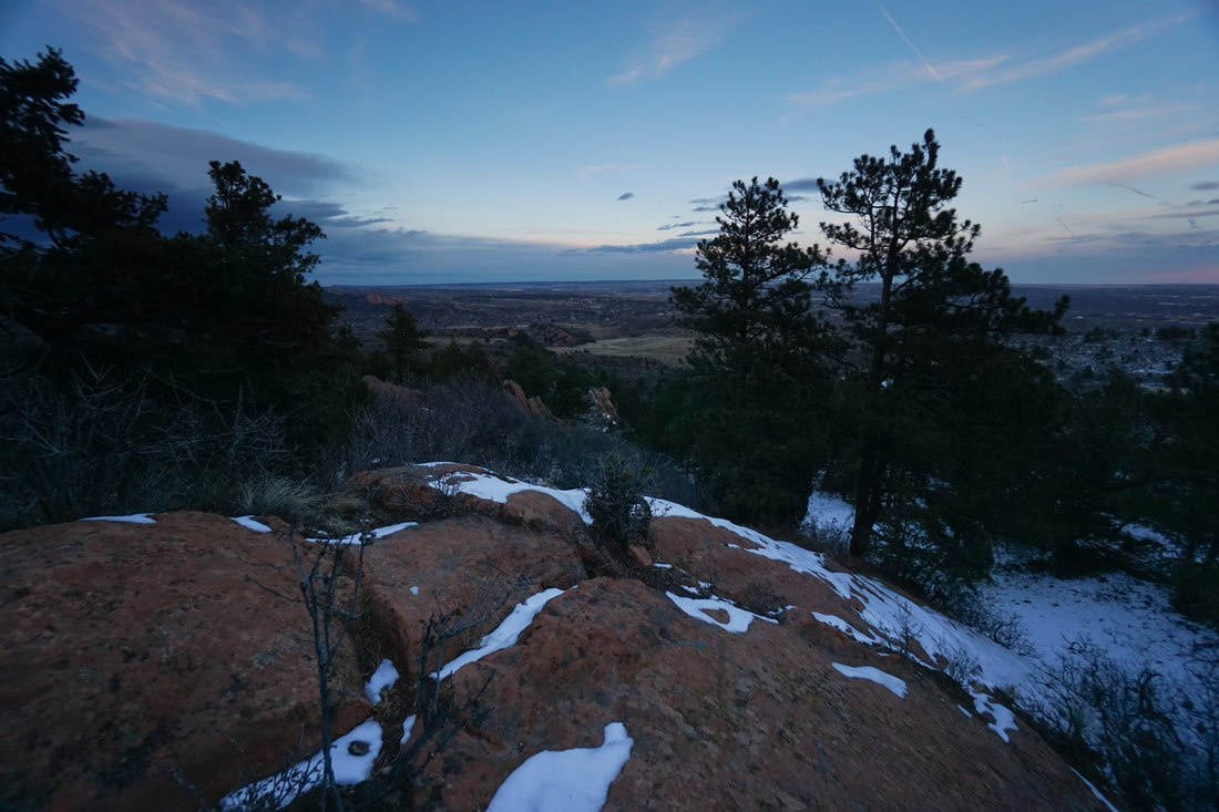
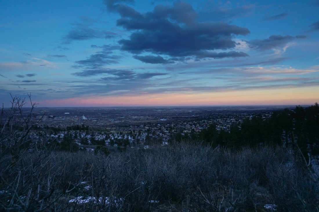
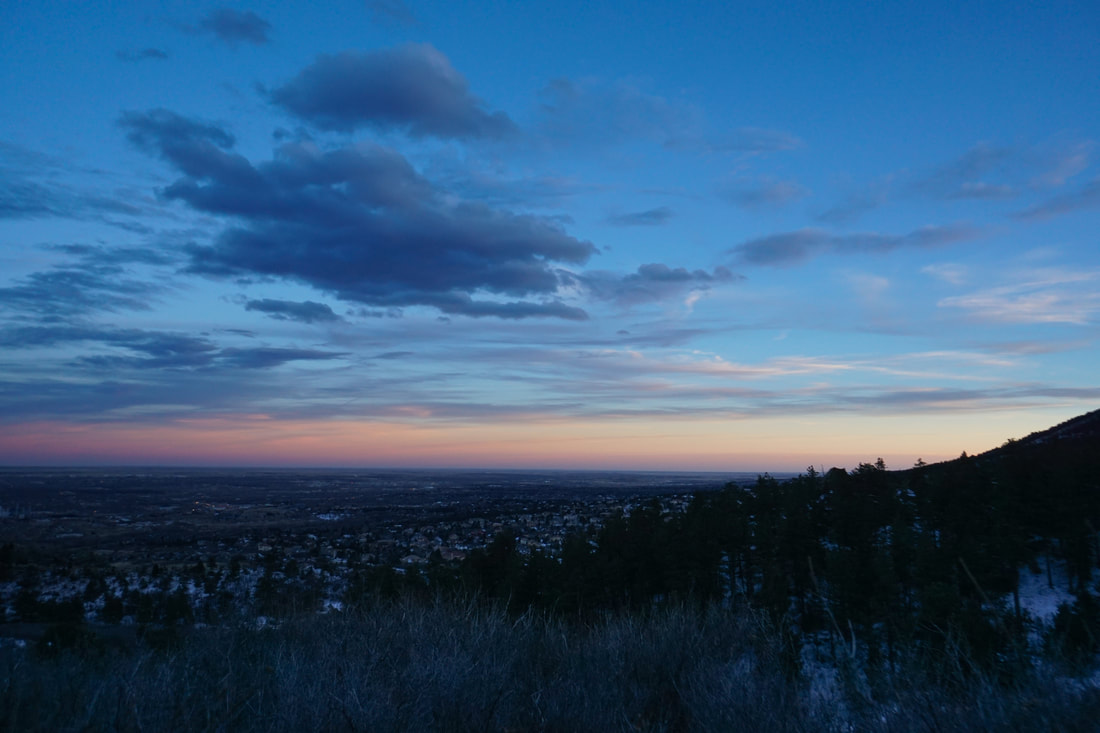
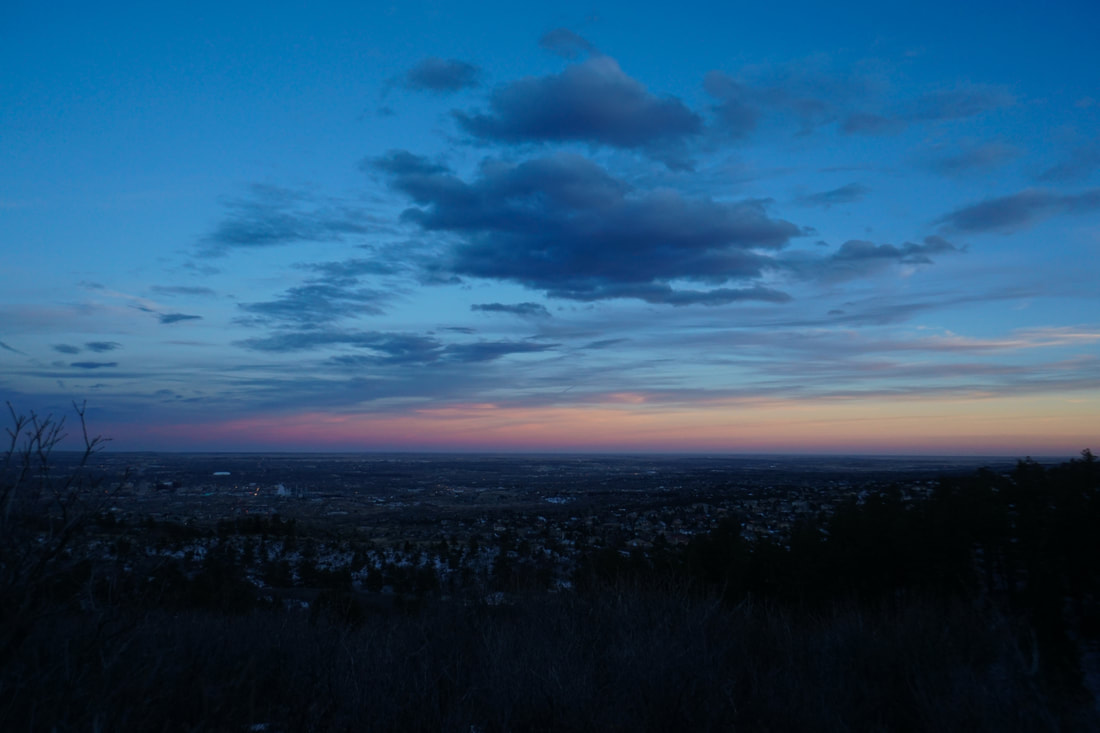
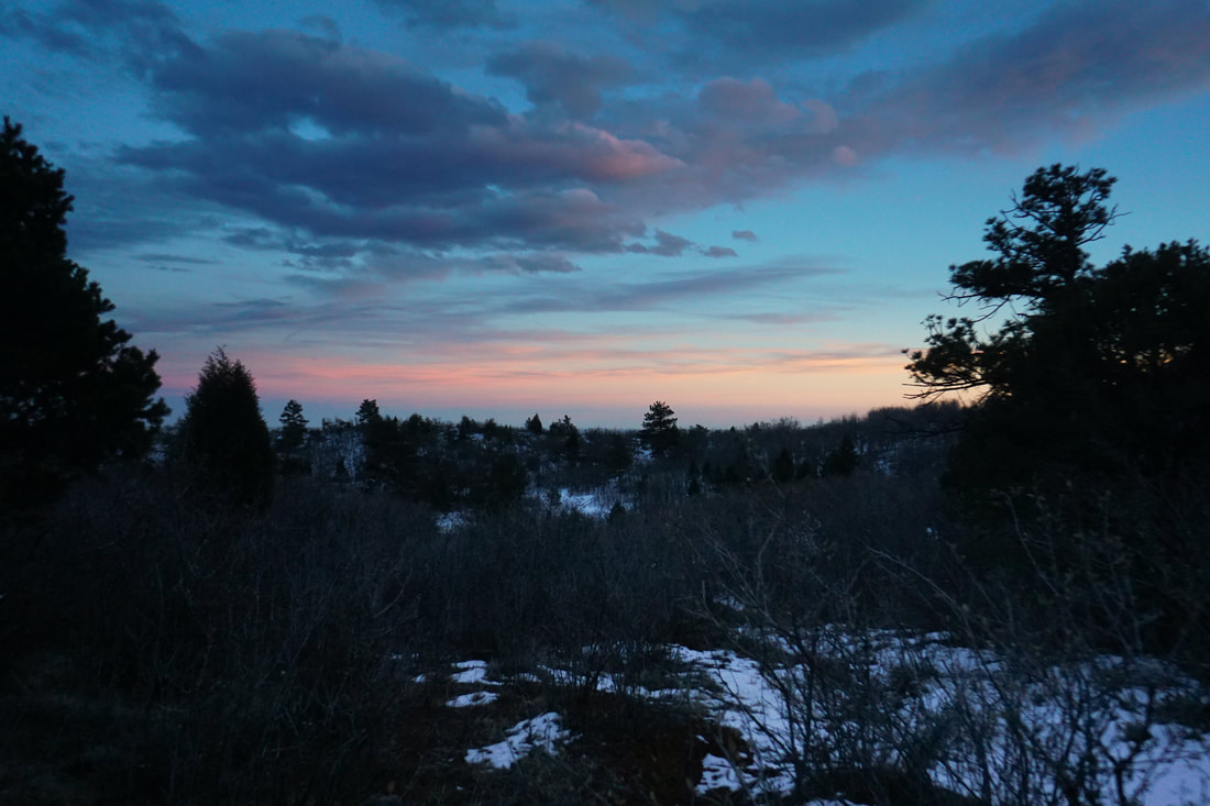
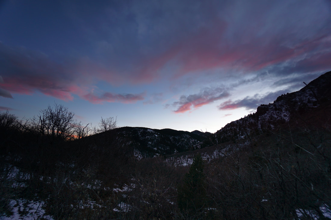
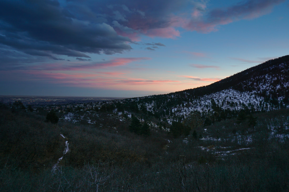
Red Rock Canyon Open Space is a spectacular park and a haven for local area hikers trying to avoid the Garden of the Gods crowds.  The northeastern part of the park has the towering red rock formations that make the park popular, but the southwest portion is more forested with stunning views of the surrounding foothills.  If you are looking for a quick hike with amazing views, then you can try to find the Forrest Allen Overlook (not shown on the park maps).  

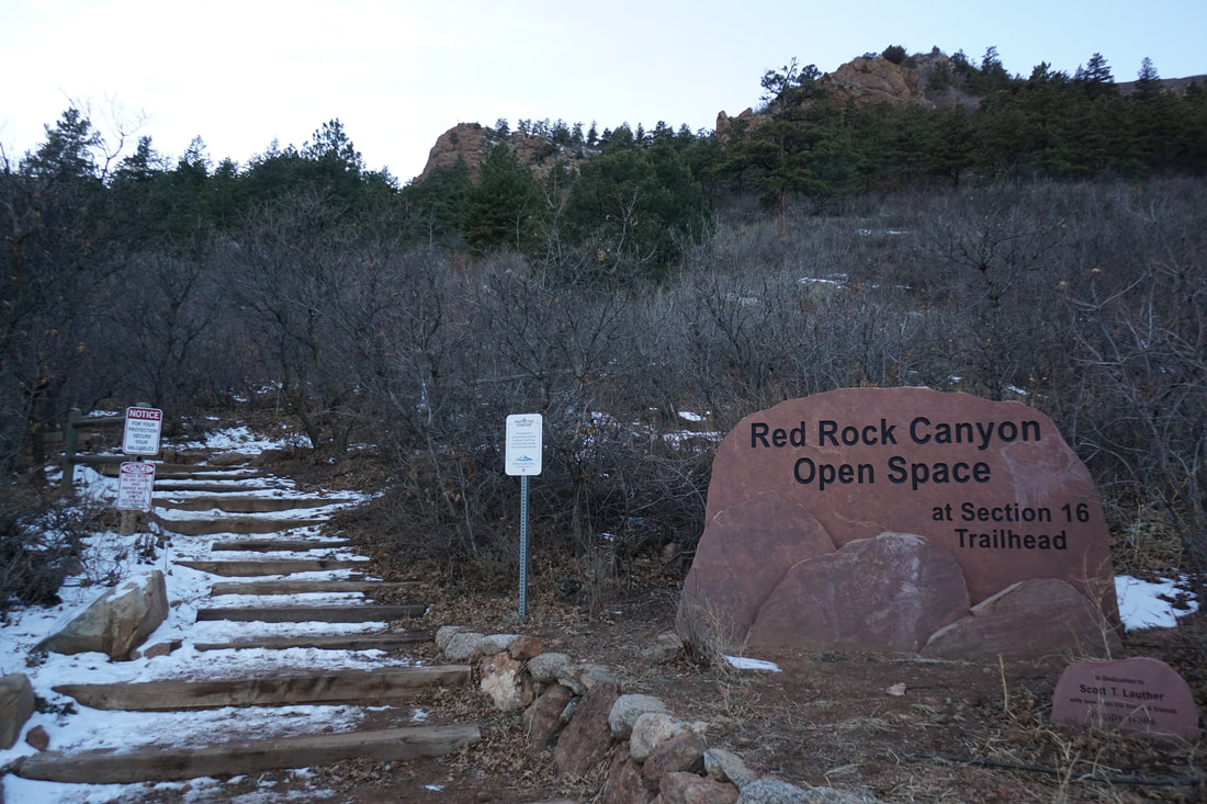
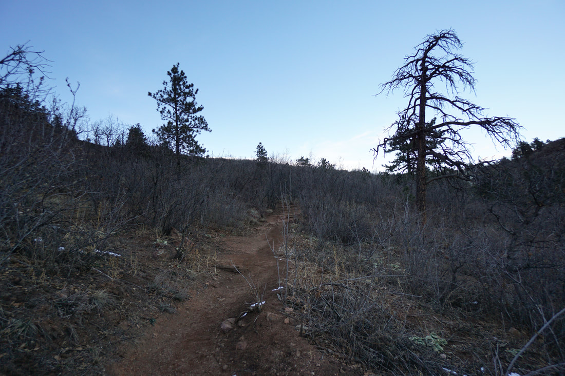
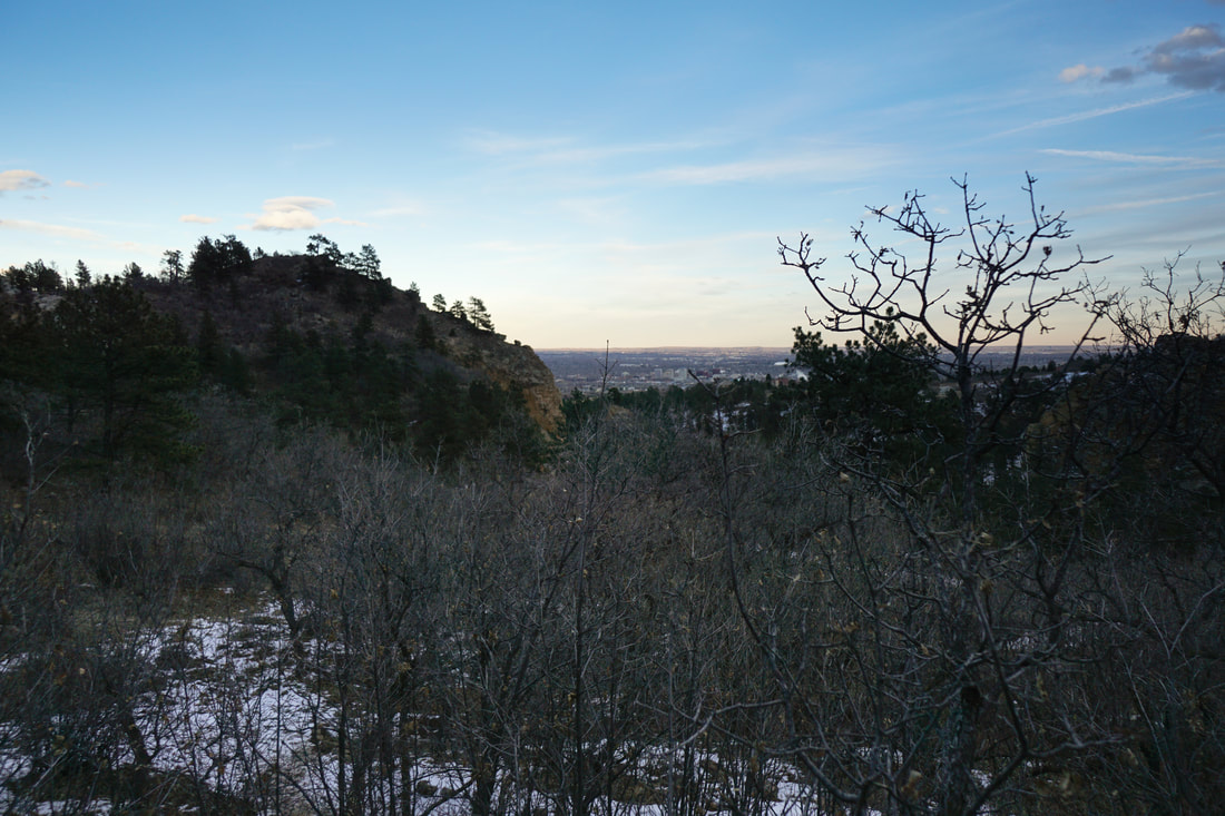
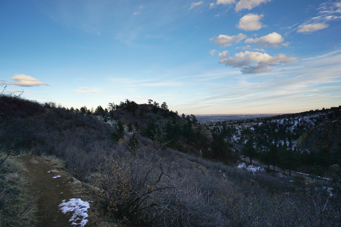
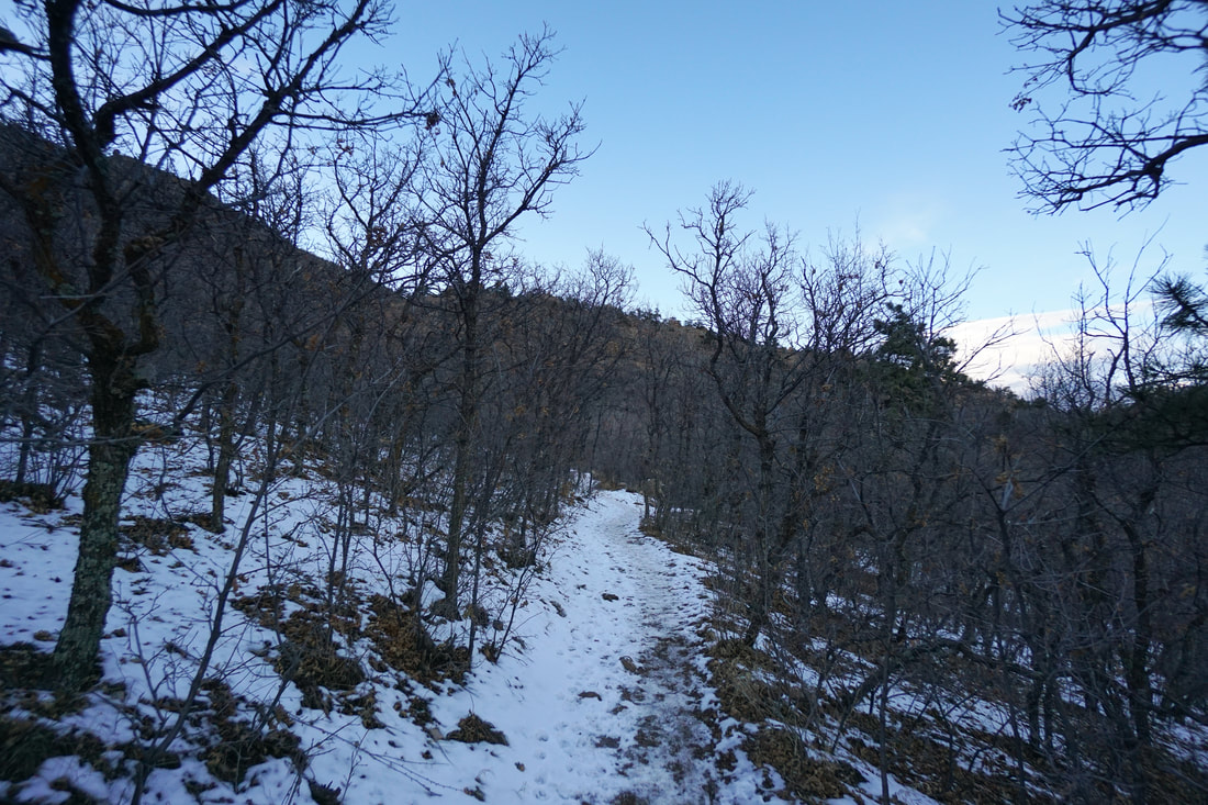
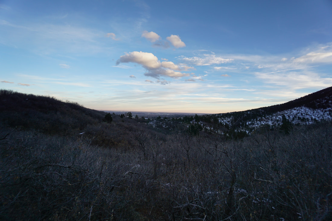
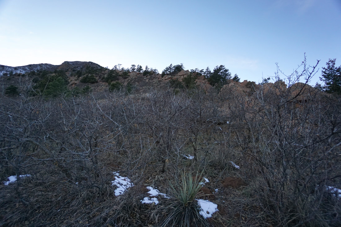
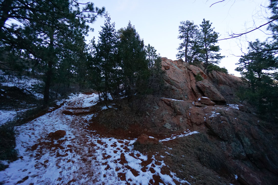
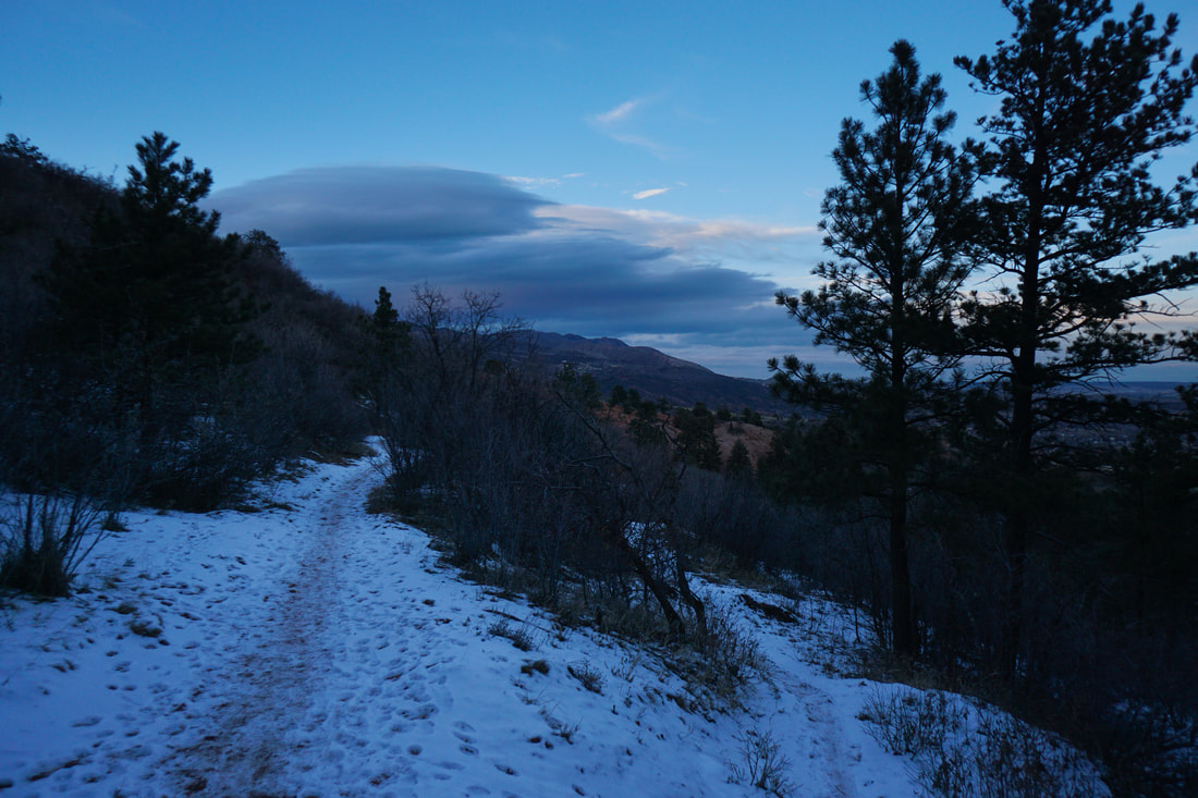
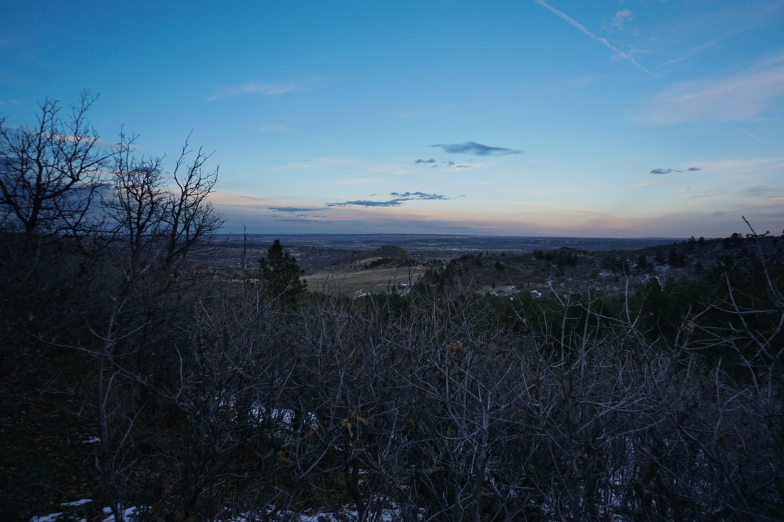
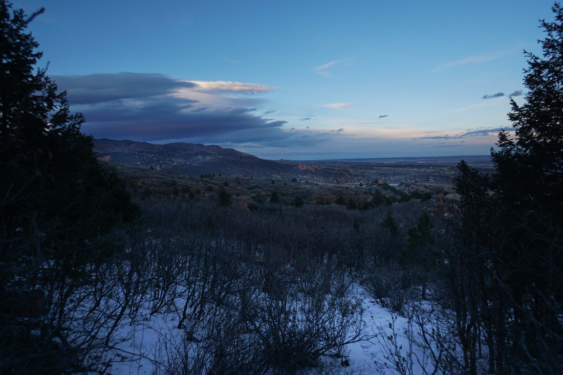
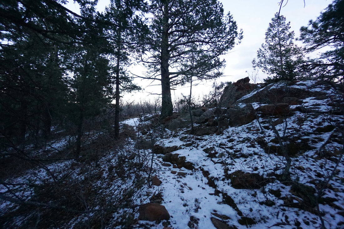
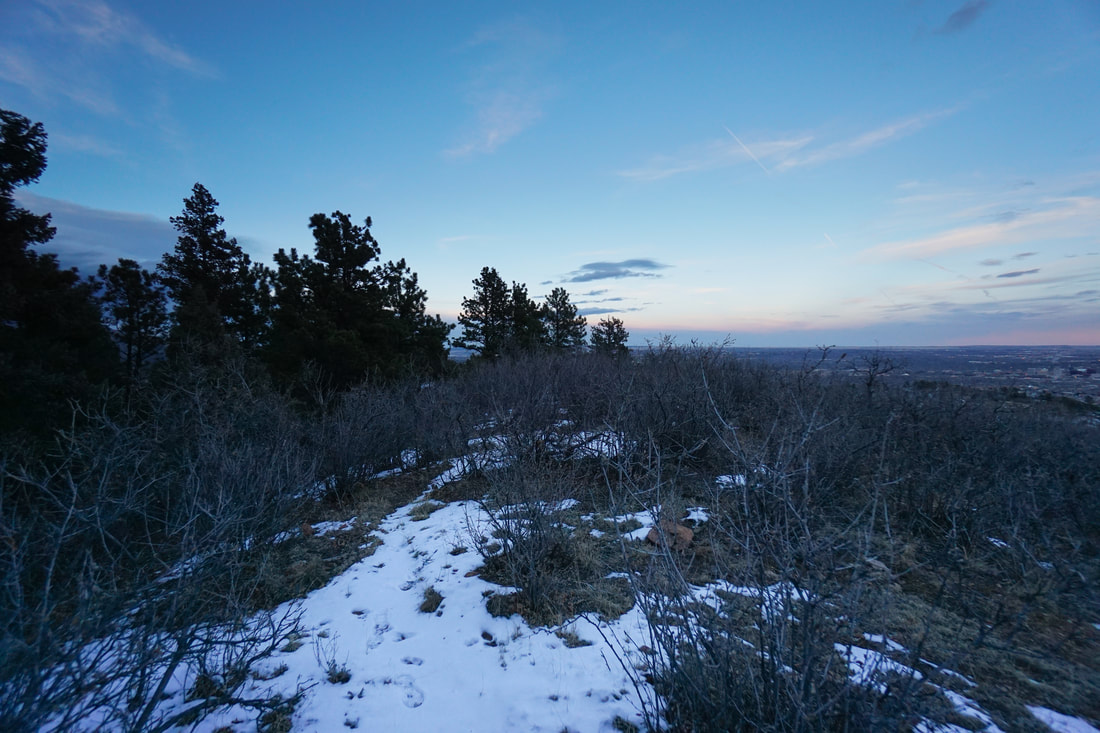
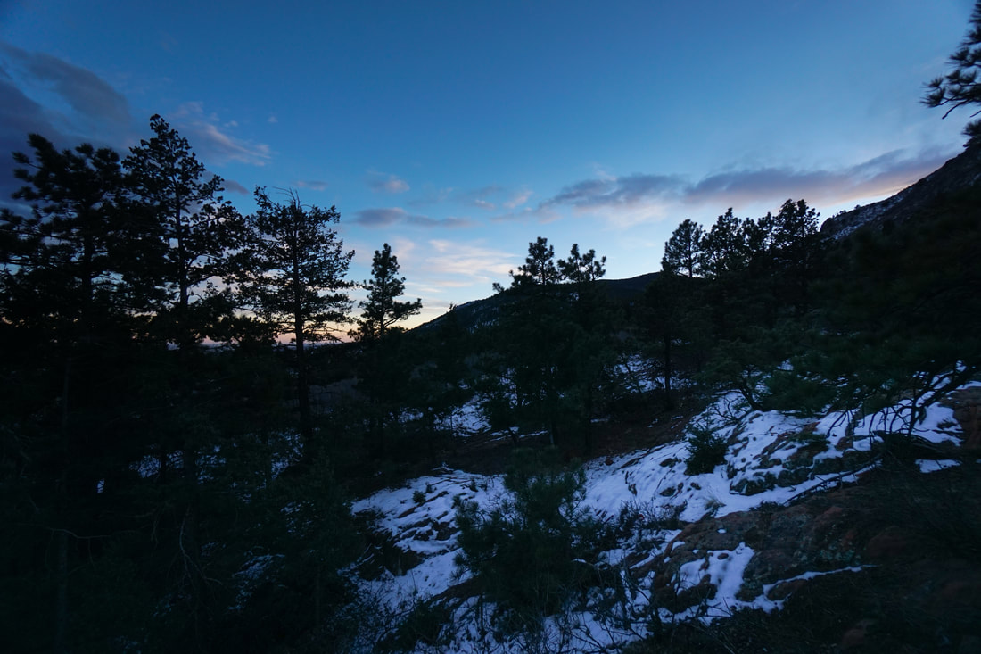
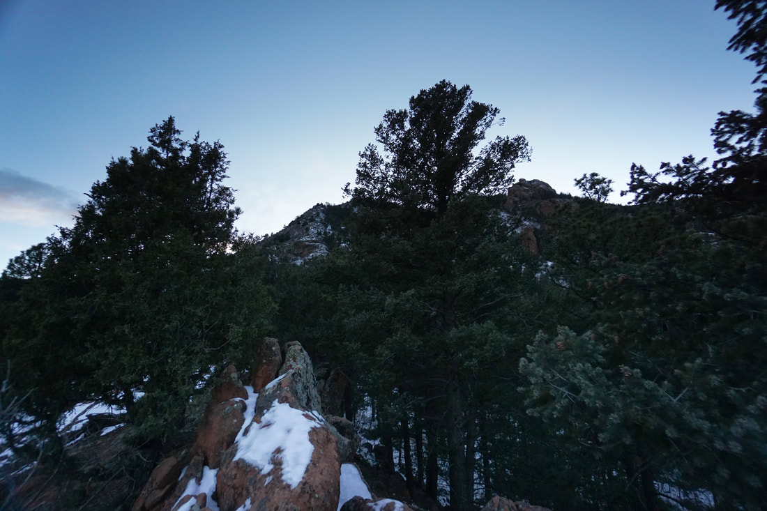
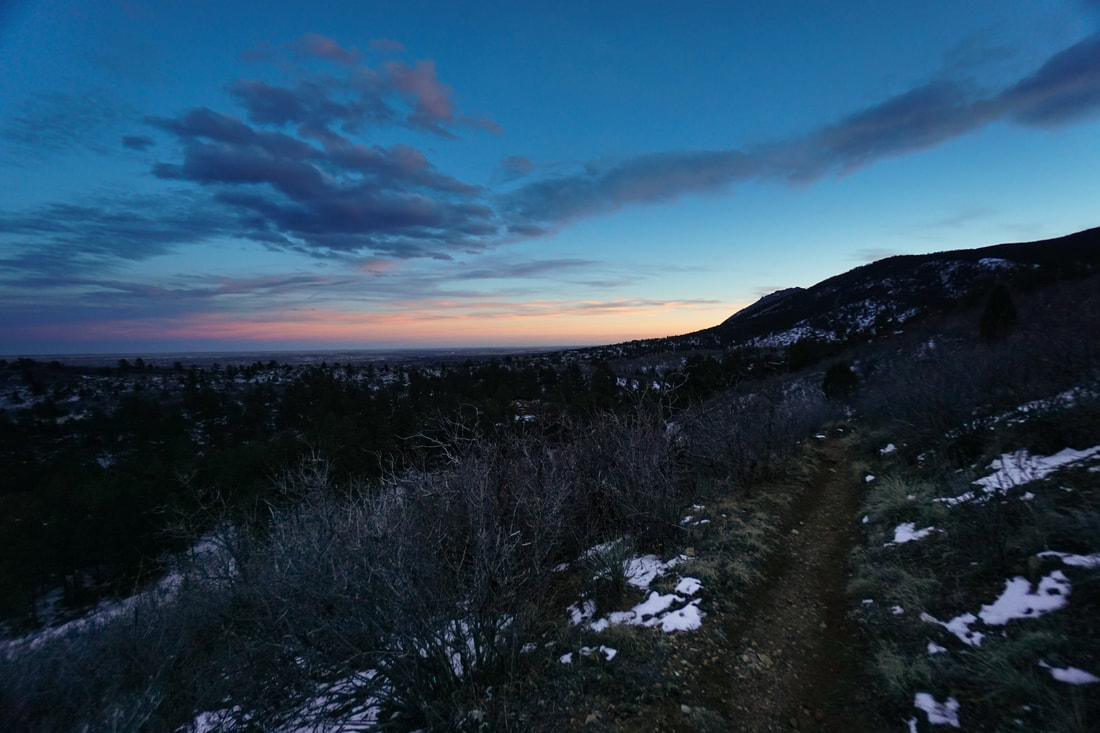
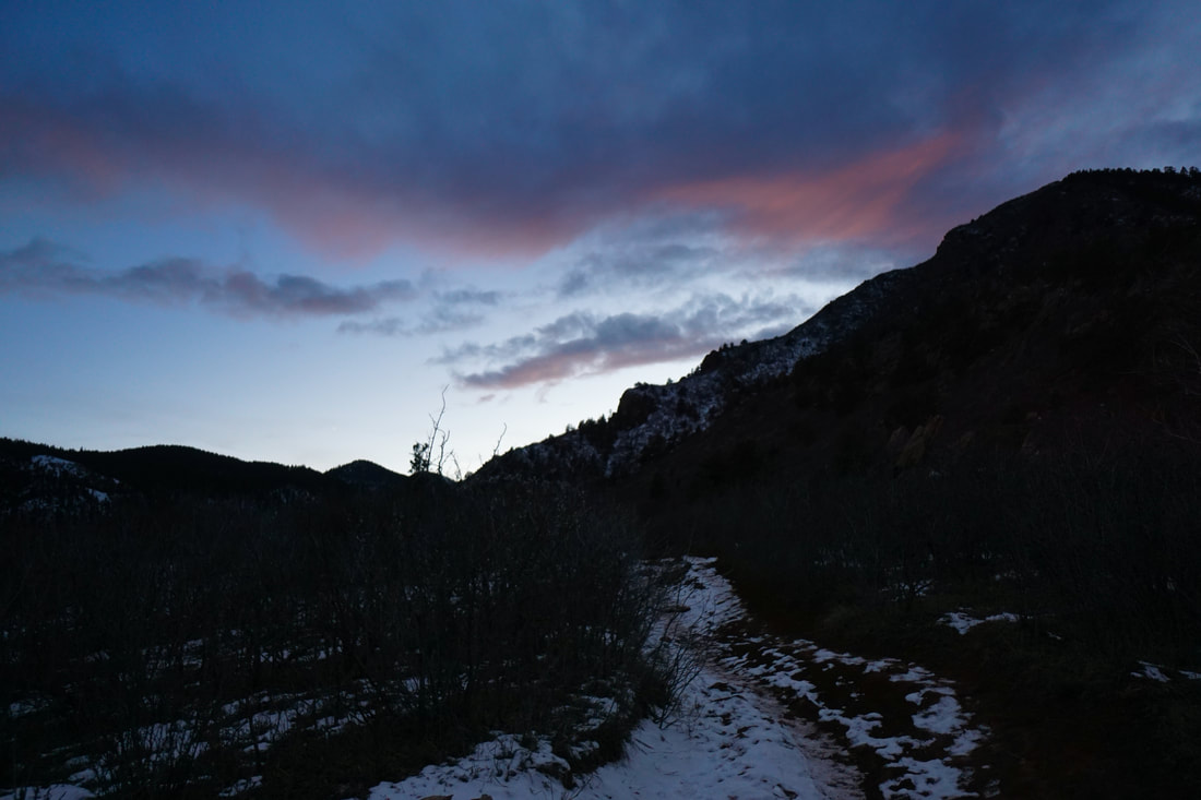
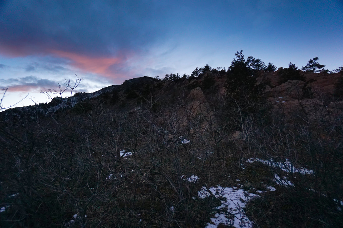
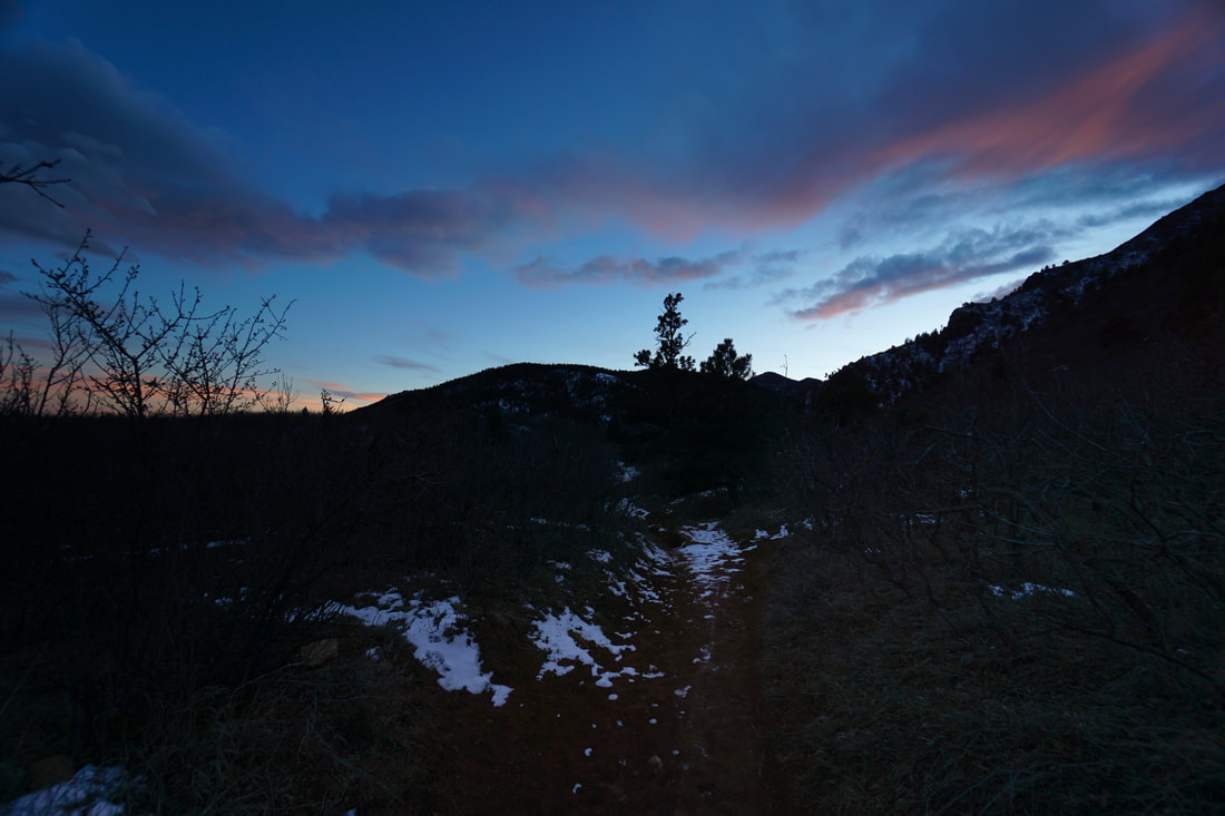
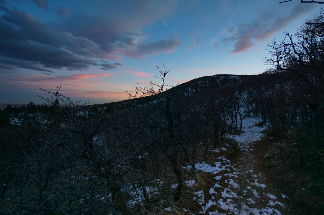
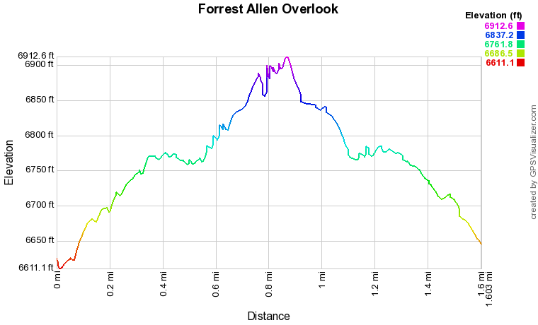
The hike follows the Palmer Trail from the Section 16 Trailhead.  As you work your way up the hillside there will be various trails intersecting the Palmer Trail.  A good rule of thumb is to stay to the left (uphill).  The signage in this area is not great, so stay left.  The views from the Palmer Trail are terrific.

The fifth (??) intersection, at the saddle, is the big one that you need to watch out for.  There will be a large red rock formation on your right and multiple trail junctions.  Again, there are no trail signs here, just a wooden post.  Make a sharp left and head straight uphill.    The trail will switchback twice and enter a dense forest.  After only 2 tenths of a mile, turn left (south) on an unsigned trail.  The trail will cut through the forest and break out on a ridge with scrub oak trees.  Turn left and follow the ridge to the end by hiking over slickrock.  This ridge constitutes the Forrest Allen Overlook.  The views of the surrounding foothills and Colorado Springs below are beautiful.  

For a short 1.6 mile hike, retrace your steps.  If you have the time and the desire, you can link with the rest of the Red Rock Canyon Trail system and neighboring open space parks for endless hiking possibilities.  This really is a beautiful area.
© Go Hike Colorado, 2020.  All Rights Reserved. 
Use of photographs without prior authorization is
​strictly prohibited.


Contact us at:
steve@gohikecolorado.com
Legal Disclaimer - Information provided on this site is based upon our own observations, always double check information with the appropriate land management agency before heading into the backcountry.  Backcountry travel is inherently dangerous, please take all proper precautions.  Go Hike Colorado is not responsible for injury or incident.