|
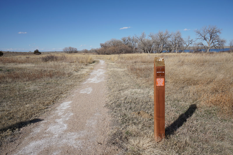
DIRECTIONS: From I-76 heading north, you can basically just follow the signs for the park. Head north on 39, turn left (east) on 300 (Co. Rd. Y 5/10 which turns north and enters the park. Follow the park road as far north as you can drive to the marina and large parking lot. The trail starts on the northern end of the parking lot.
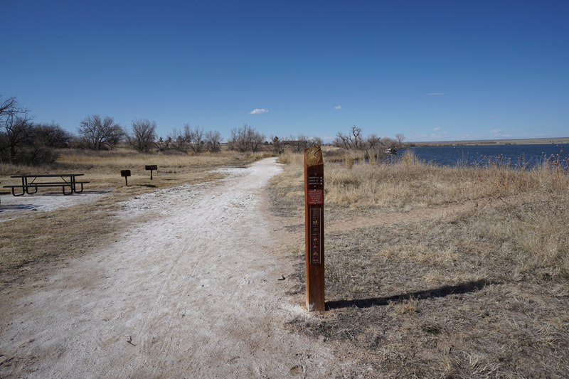
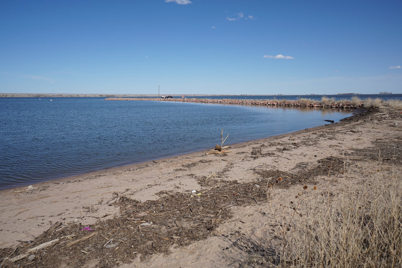
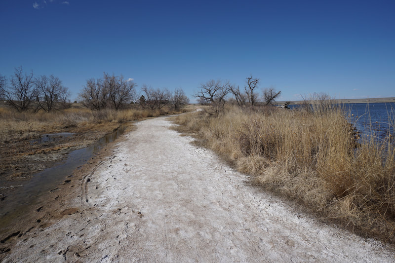
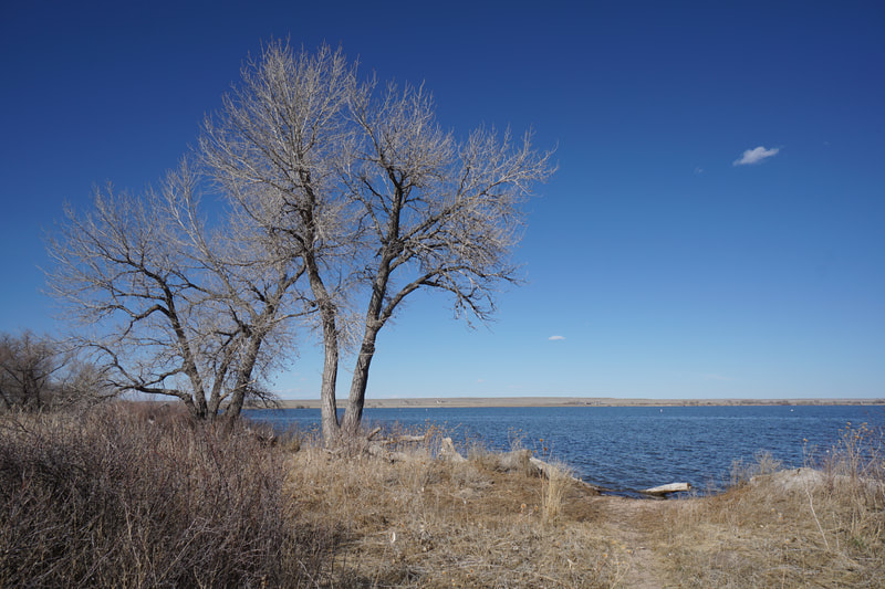
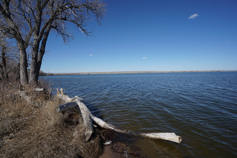
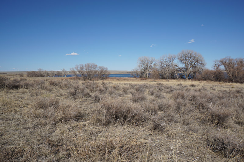
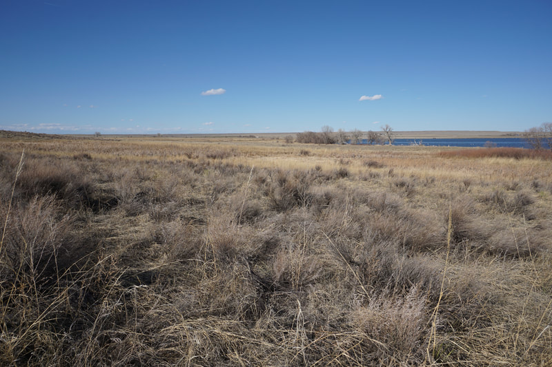
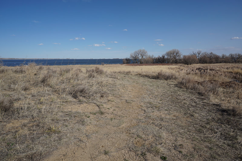
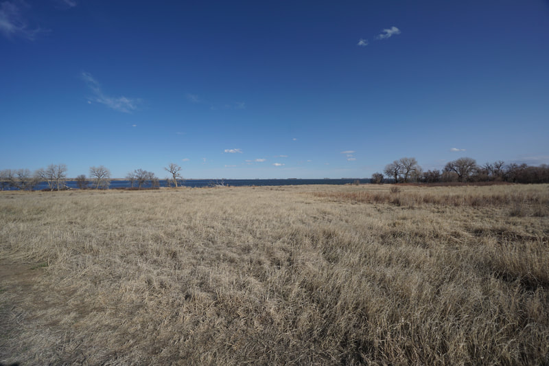
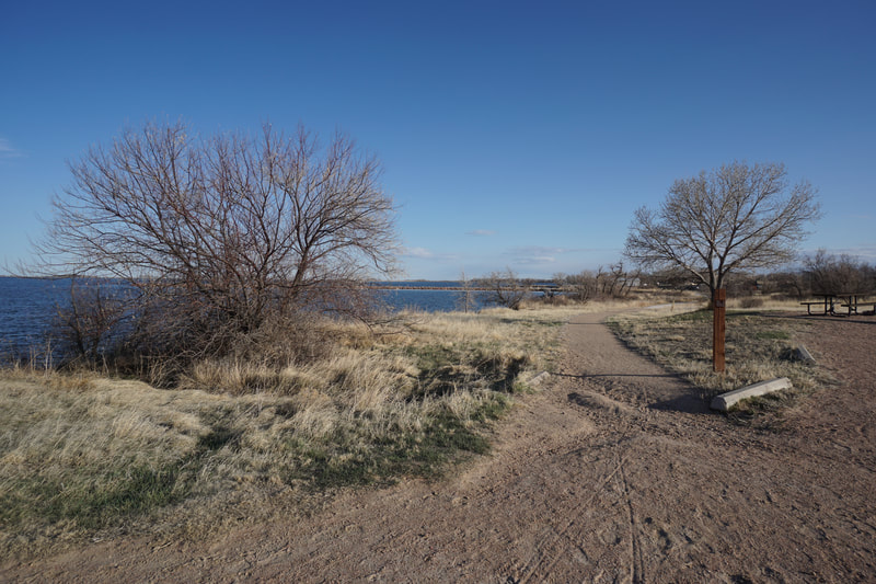
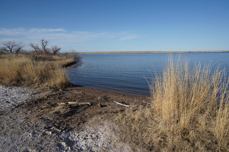
Jackson Lake State Park is popular for boating, fishing, and camping but not so much for hiking. That being said, there are a number of nice little hiking trails that explore the prairie surrounding the beautiful lake. The nicest hike just might be the northern trail, referred to as Foot Path North. The Foot Path runs for almost the entire western shore of the lake, the north section begins at the North Trailhead near the marina and boat launch.
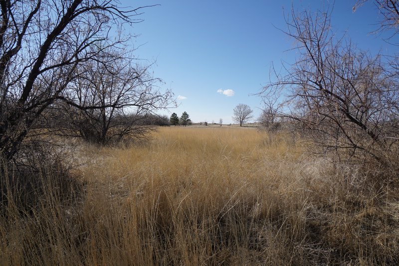
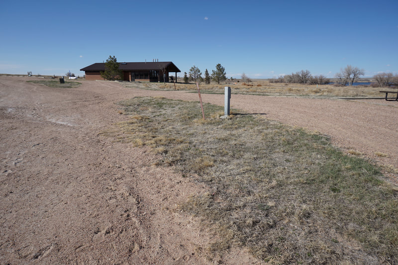
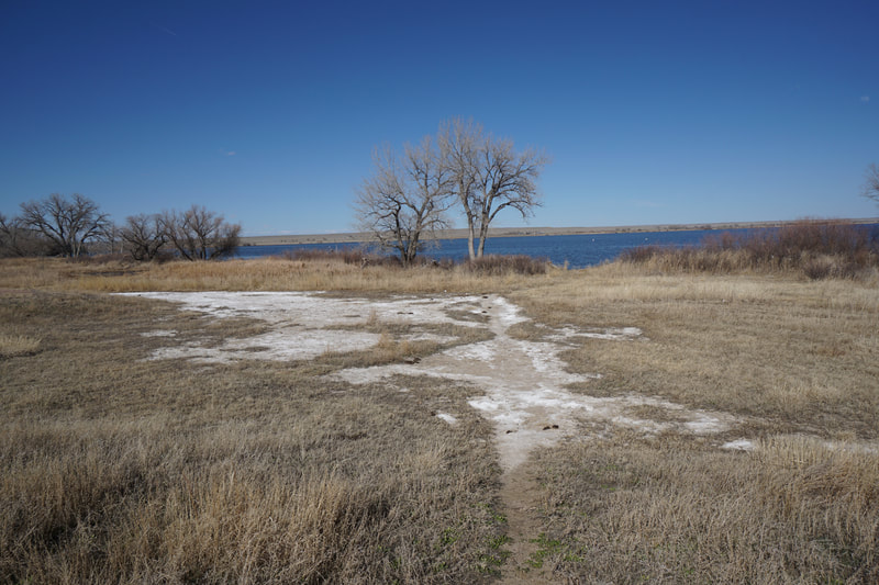
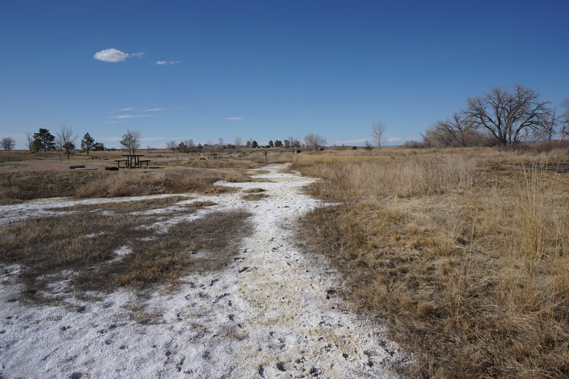
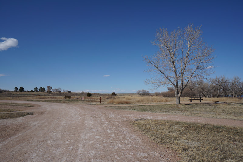
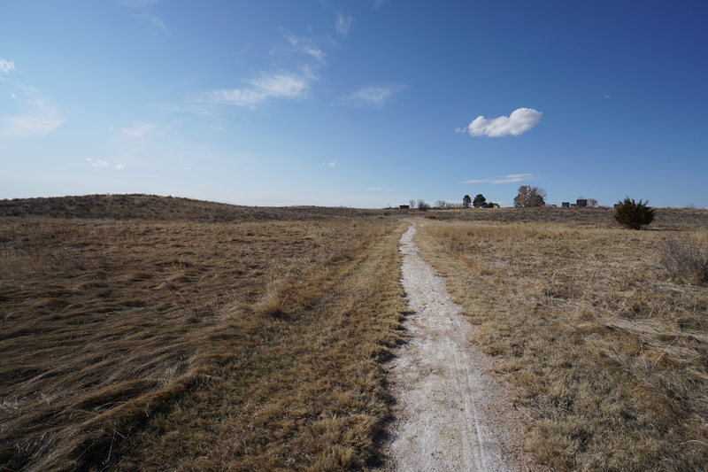
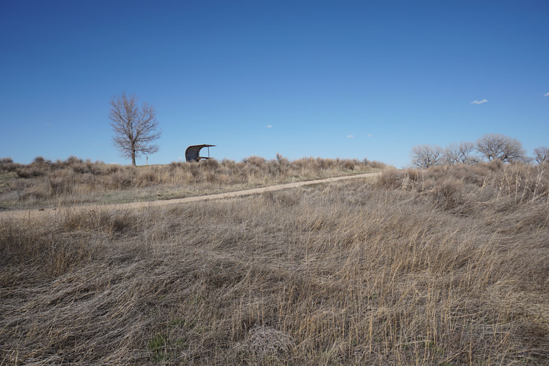
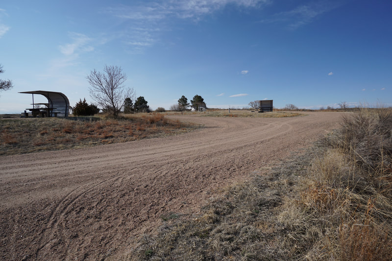
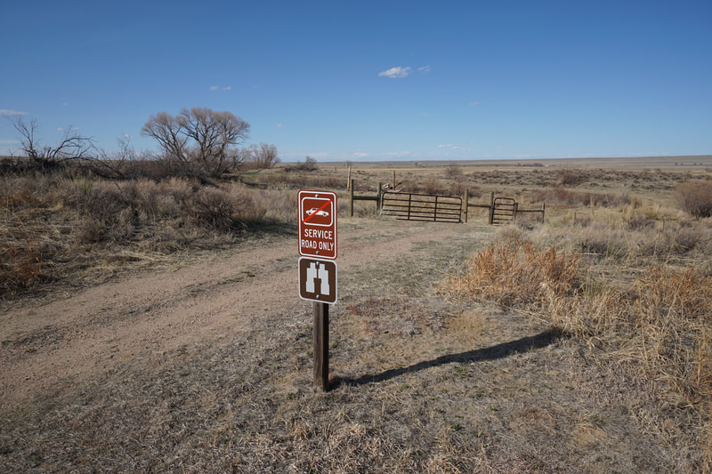
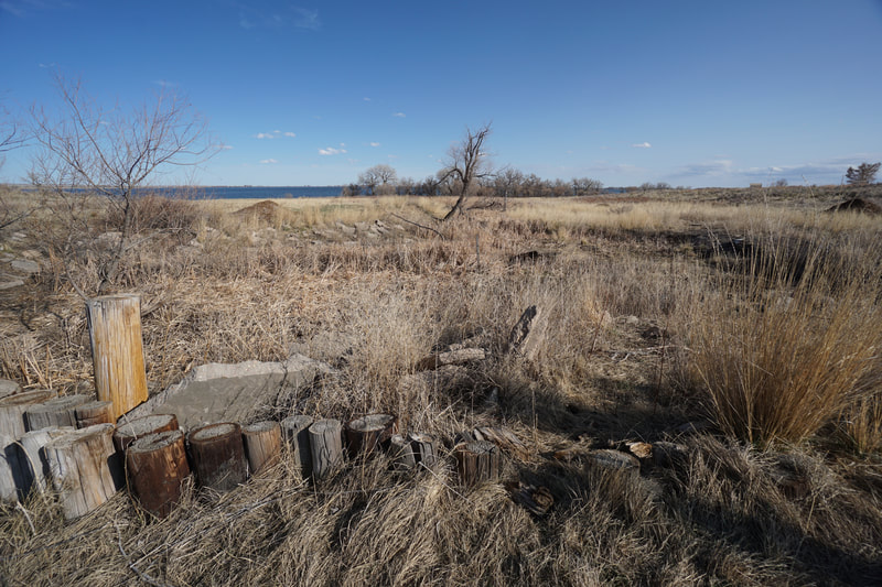
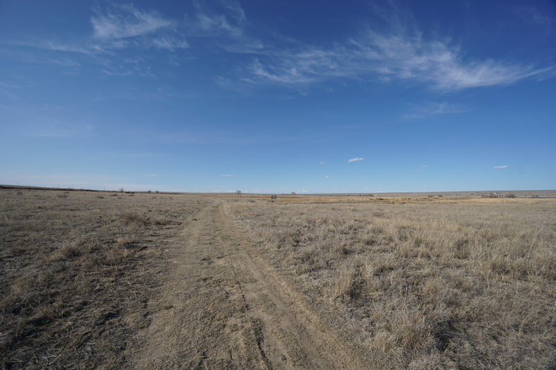
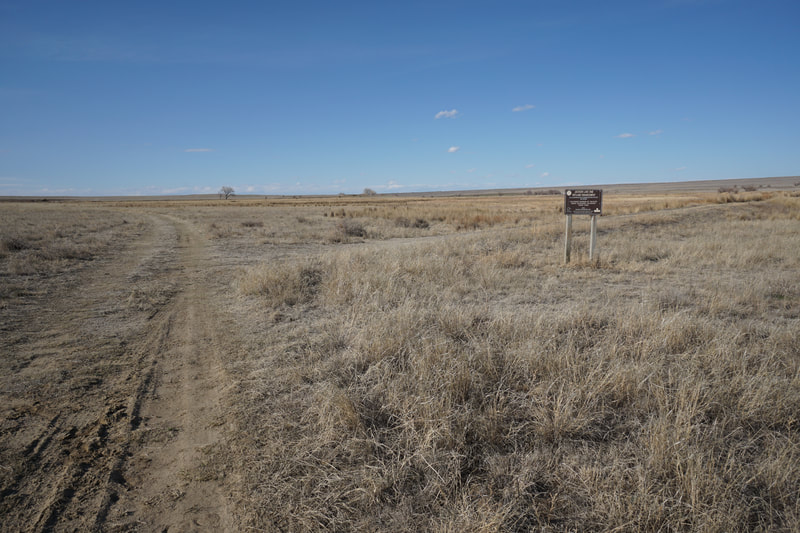
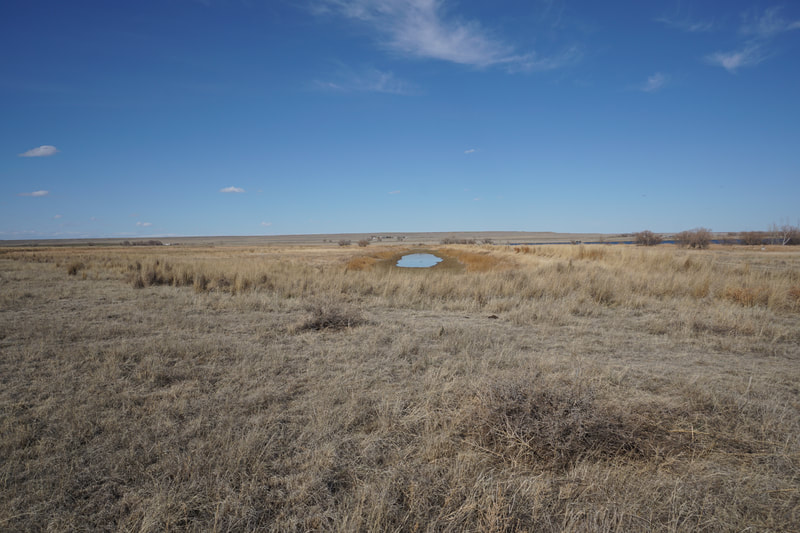
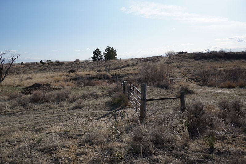
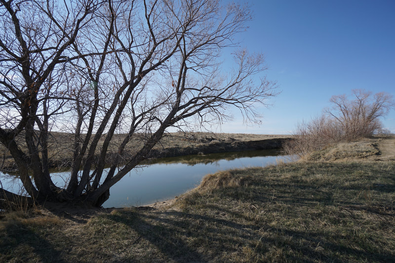
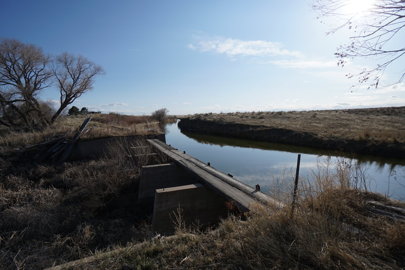
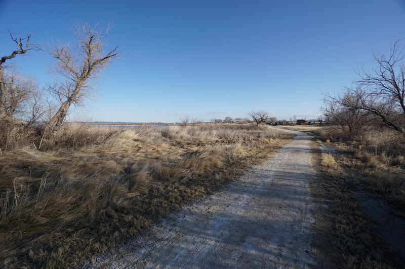
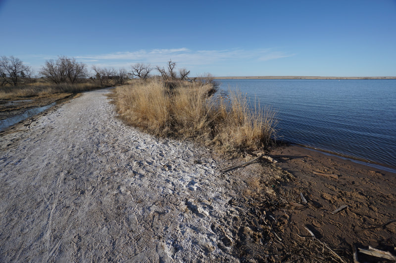
The trail starts out along the shoreline with nice spots for fishing and leads to the Sandpiper Campground. Follow the eastern edge of the campground and explore some social trails that visit the shoreline. At the far end of the campground the trail starts again. The trail leads to the Fox Hills Campground where you have two options, either follow the easternmost road or follow the official trail which runs down the center of the campground. At the far end of the campground, the trail starts again. This segment of the trail climbs a small hill as it rises to the Northview Campground. The views from this part of the trail are particularly nice. At the end of the trail is a small loop with an interpretive sign in the middle providing some information about the local birds and wildlife. The trail then connects to the Northview Campground. At the far end of this campground (sense a pattern here?) a road continues north. The road leads to a gate with a pass through and down to a typically dry creek bed which serves as a spillway for the Riverside Intake Canal along the park's western edge. At the fork in the road, turn right and go through another gate with a pass through. This leads you to the northern section of the park, a wide open area with no more campgrounds to walk through. This area is beautiful and wide trails/roads lead through it. There is a narrow social trail branching off, which we did not take, but looks interesting. If you stay on the road you will soon arrive at a wetland area and another trail heading east. A bit further up the road, a faint trail heads west. We took this trail but it ended at a dead end and we backtracked and decided to head back. I don't know where these roads lead to but we were wondering if we were nearing the boundary of the State Park and would soon end up on a cattle ranch. I'd be interested to come back and explore this area further some time. When you've had your fill of prairie solitude, return through the campgrounds back to the North Trailhead. There are few hiking options on Colorado's Eastern Plains and Jackson Lake State Park provides a nice prairie experience. About an hour from Denver and Fort Collins, this park is far enough east for you to be immersed in the plains, but close enough to the Front Range for it to be visited as a day trip. Enjoy Colorado's wide open spaces... |
- HOME
- ABOUT
-
HIKES BY REGION
-
NATIONAL PARK HIKES
- BENT'S OLD FORT NATIONAL HISTORIC SITE
- BLACK CANYON OF THE GUNNISON NATIONAL PARK
- COLORADO NATIONAL MONUMENT
- CURECANTI NATIONAL RECREATION AREA
- DINOSAUR NATIONAL MONUMENT
- FLORISSANT FOSSIL BEDS NATIONAL MONUMENT
- MESA VERDE NATIONAL PARK
- ROCKY MOUNTAIN NATIONAL PARK
- GREAT SAND DUNES NATIONAL PARK
- HOVENWEEP NATIONAL MONUMENT
- SAND CREEK MASSACRE NATIONAL HISTORIC SITE
- YUCCA HOUSE NATIONAL MONUMENT
- HIKES BY CATEGORY
- NEWS
- WEBCAMS
- $UPPORT GHC
- INTERACTIVE MAP
Foot Trail North
Jackson Lake State Park
Date Hiked: April 4, 2020
Distance: 2.4 mi (RT)
Elevation Gain: 275 ft
Elevation Min/Max: 4,275 to 4,575 ft
Managing Agency: Colorado Division of Parks & Wildlife
Fee: Yes

