|
Directions: From Colorado Springs head west on Hwy 24 to the town of Florissant. Turn left (south) on Teller County Road 1 and enter the park. This trail starts east of Road 1.
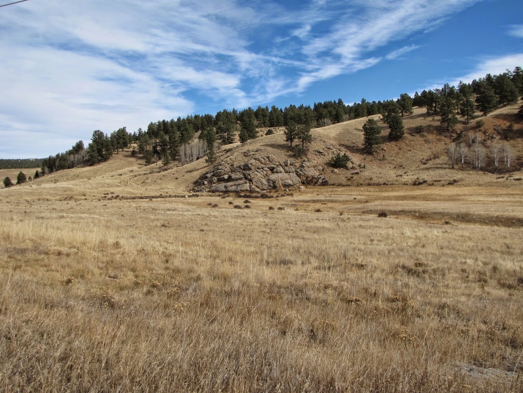
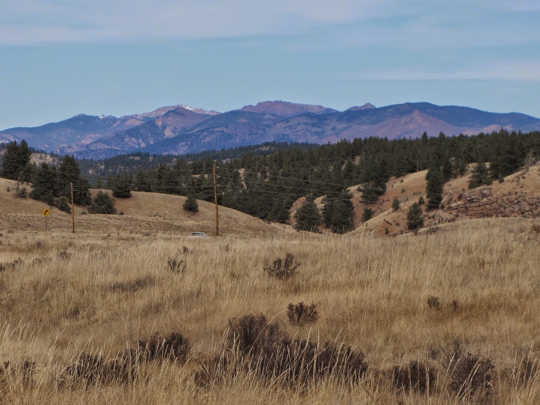
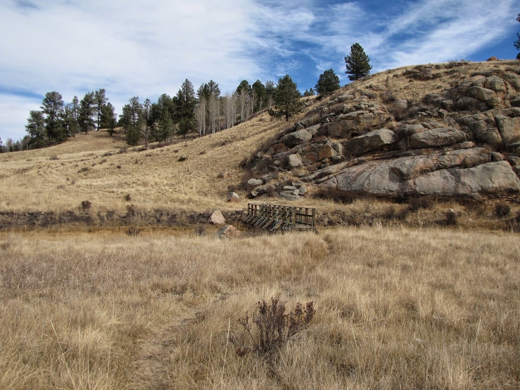
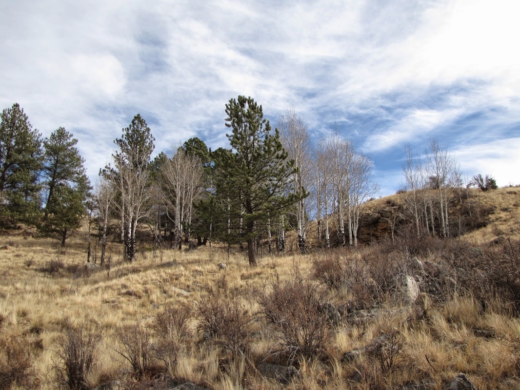
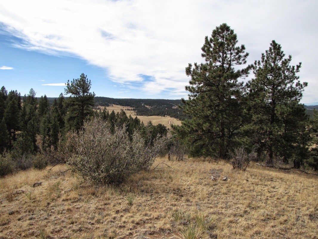
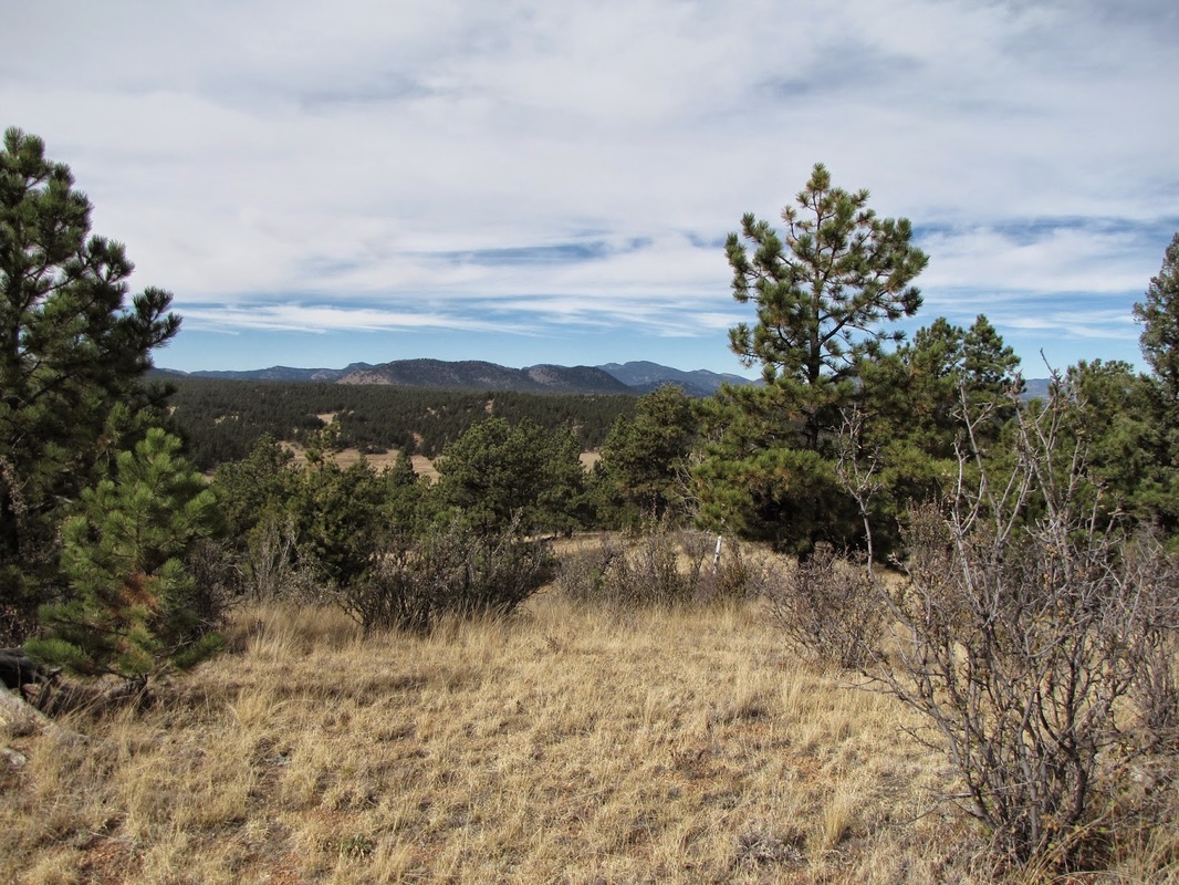
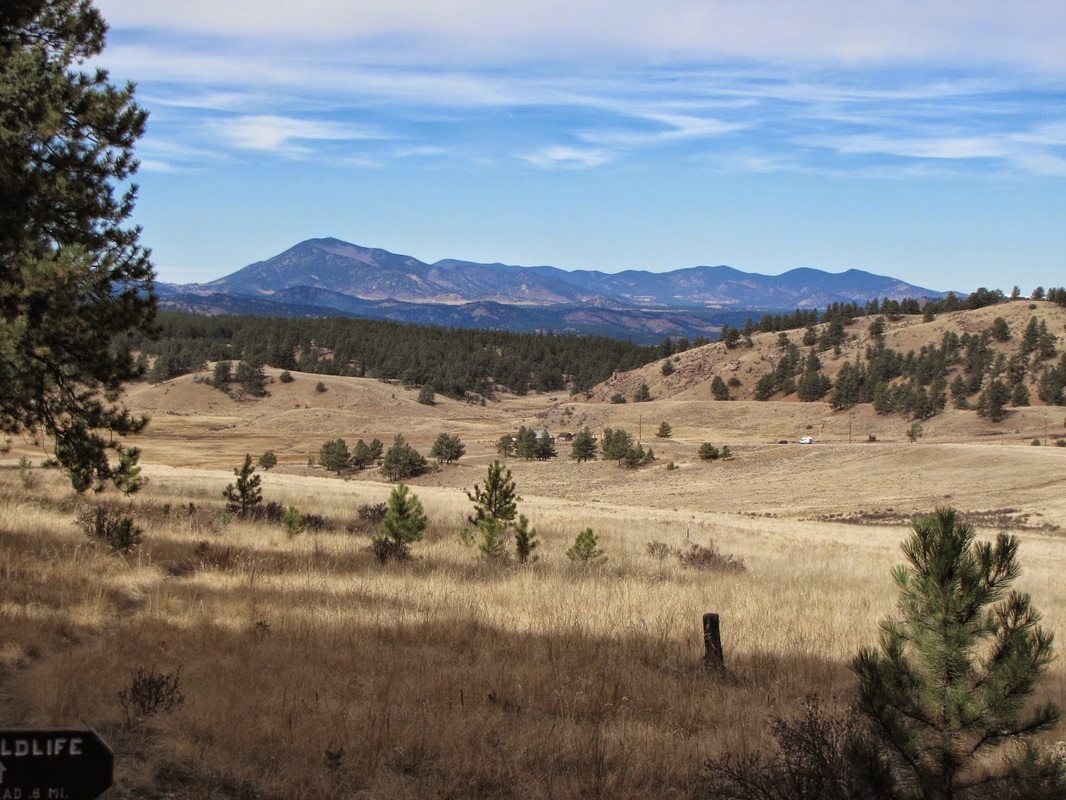
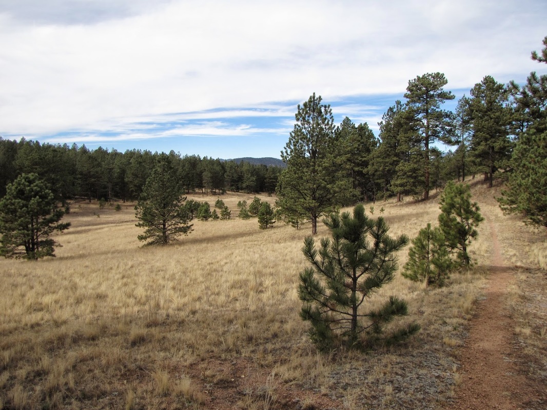
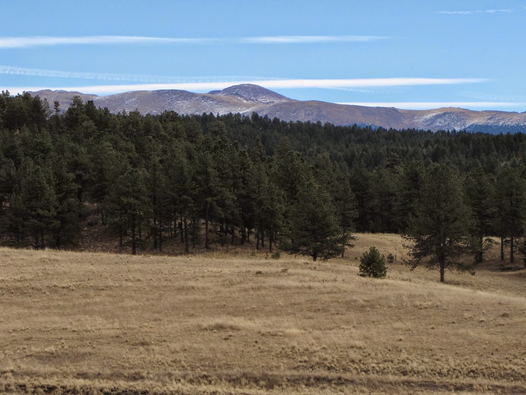
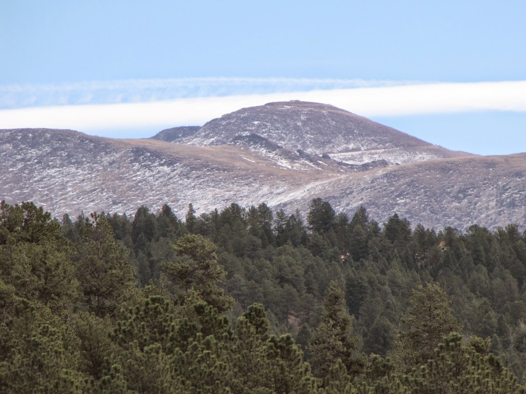
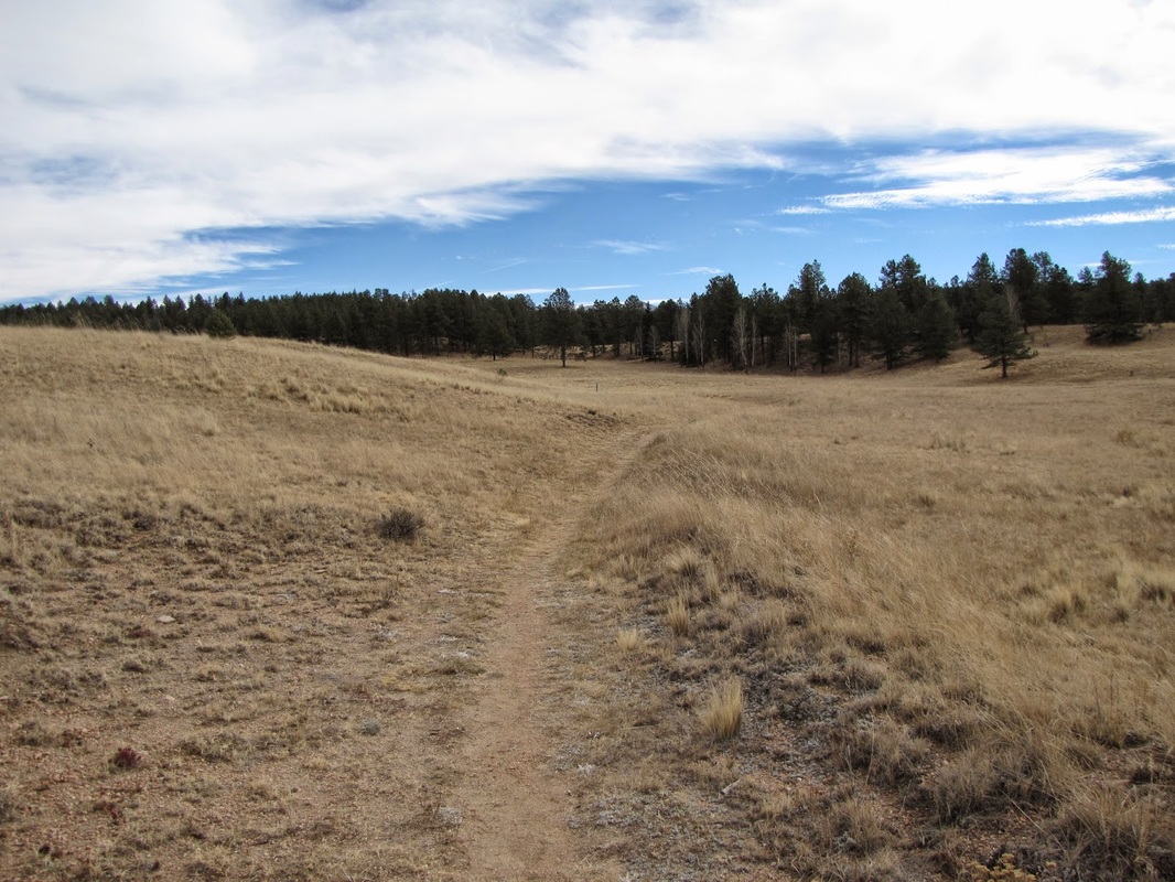
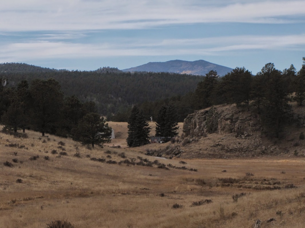
Florissant Fossil Beds main purpose as a National Park is to preserve the petrified tree stumps and other paleontological resources discovered on this site. Most of the park's visitors will congregate around the exhibits at the visitor center. If you want to get away from the crowds and stretch your legs, then cross the street (Hwy 1) and choose 1 of 2 hiking options on the east side of the park. The Shootin' Star Trail is a good option for a longer hike in the park. The trail starts by following the Hornbeck Wildlife Loop for 1.1 miles to the junction with the Shootin' Star Trail and the Twin Rock Trail. Make a right (southeast) to choose the Shootin' Star Trail. The trail then rolls though Ponderosa Pine forest and open meadow for the next 1.2 miles. Look out for the great views of Pike's Peak during this section. The trail ends at a picnic area and trailhead on Lower Twin Rocks Road. Go back the way you came. This part of the park gets far fewer visitors (although the park in general is pretty quiet) and allows you to explore the local terrain. You'll find peace, quiet, and solitude for sure. |
|
- HOME
- ABOUT
-
HIKES BY REGION
-
NATIONAL PARK HIKES
- BENT'S OLD FORT NATIONAL HISTORIC SITE
- BLACK CANYON OF THE GUNNISON NATIONAL PARK
- COLORADO NATIONAL MONUMENT
- CURECANTI NATIONAL RECREATION AREA
- DINOSAUR NATIONAL MONUMENT
- FLORISSANT FOSSIL BEDS NATIONAL MONUMENT
- MESA VERDE NATIONAL PARK
- ROCKY MOUNTAIN NATIONAL PARK
- GREAT SAND DUNES NATIONAL PARK
- HOVENWEEP NATIONAL MONUMENT
- SAND CREEK MASSACRE NATIONAL HISTORIC SITE
- YUCCA HOUSE NATIONAL MONUMENT
- HIKES BY CATEGORY
- NEWS
- WEBCAMS
- $UPPORT GHC
- INTERACTIVE MAP
Shootin' Star Trail
Florissant Fossil Beds National Monument
Distance: 4.6 mi (RT)
Elevation Gain: 500ft
Managing Agency: National Park Service
Fee: Yes