DIRECTIONS: From Trinidad, CO, head south on I-25 to Exit 11. Exit the highway and turn left to cross over it. Then turn right on Santa Fe Trail for 1.5 miles to the park entrance. Drive the short dirt road to the trailhead and parking area.
|
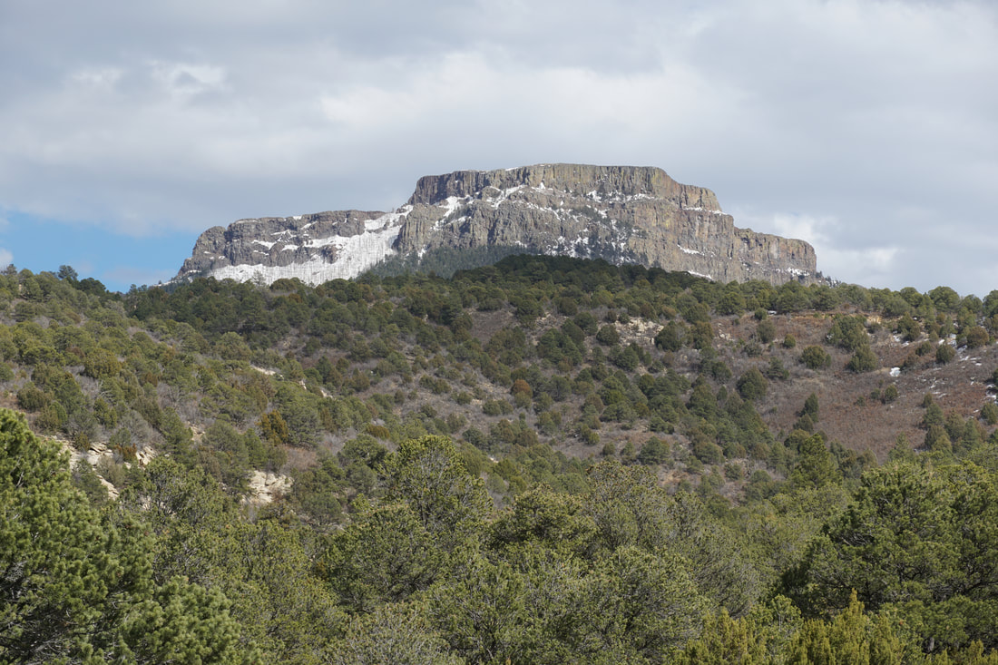
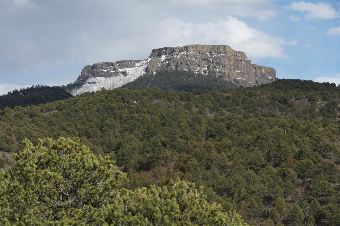
Fishers Peak State Park is Colorado's newest state park. The park is just in the initial stages of development. There are only two trails open, the First Look Trail and the Challenge Trail. The First Look Trail is exactly that...it gives you a small taste of what this park is all about and what it will be when development is finished. It is a beautiful area and Fishers Peak itself is iconic and inspiring.
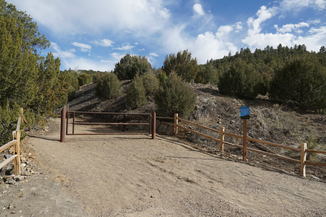
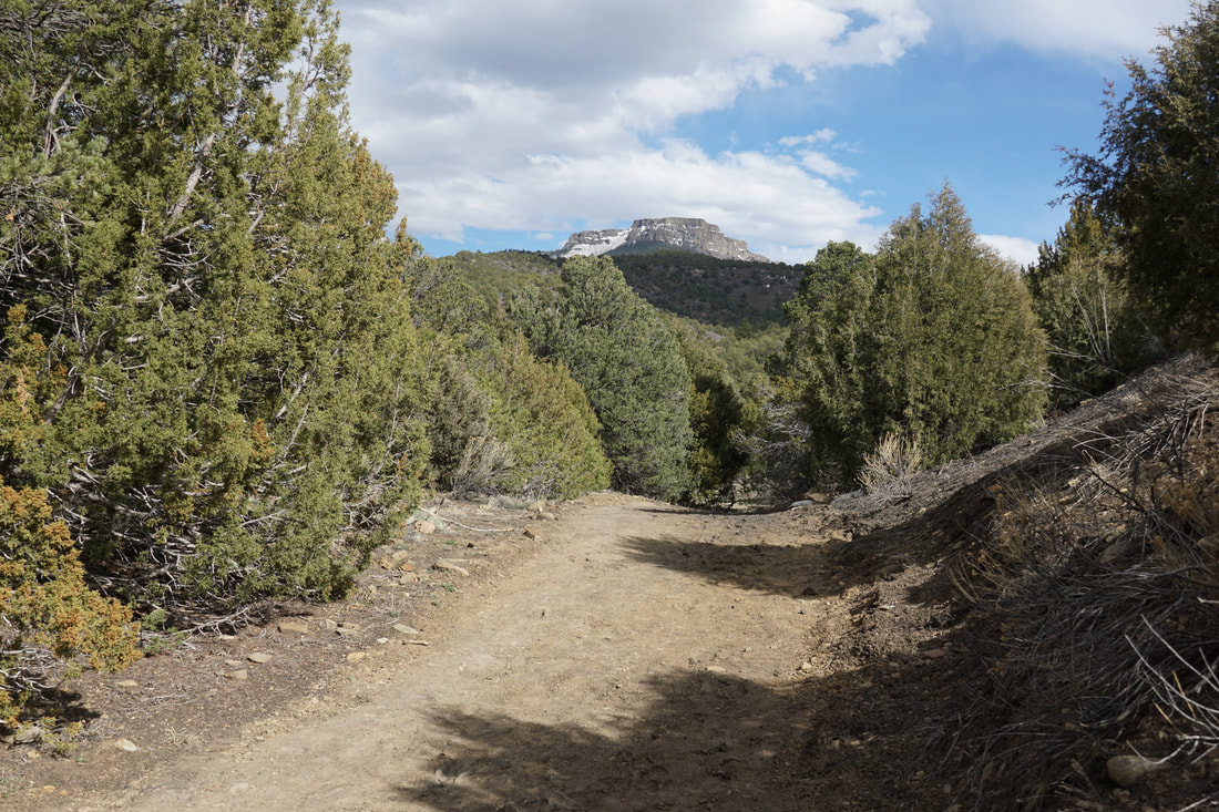
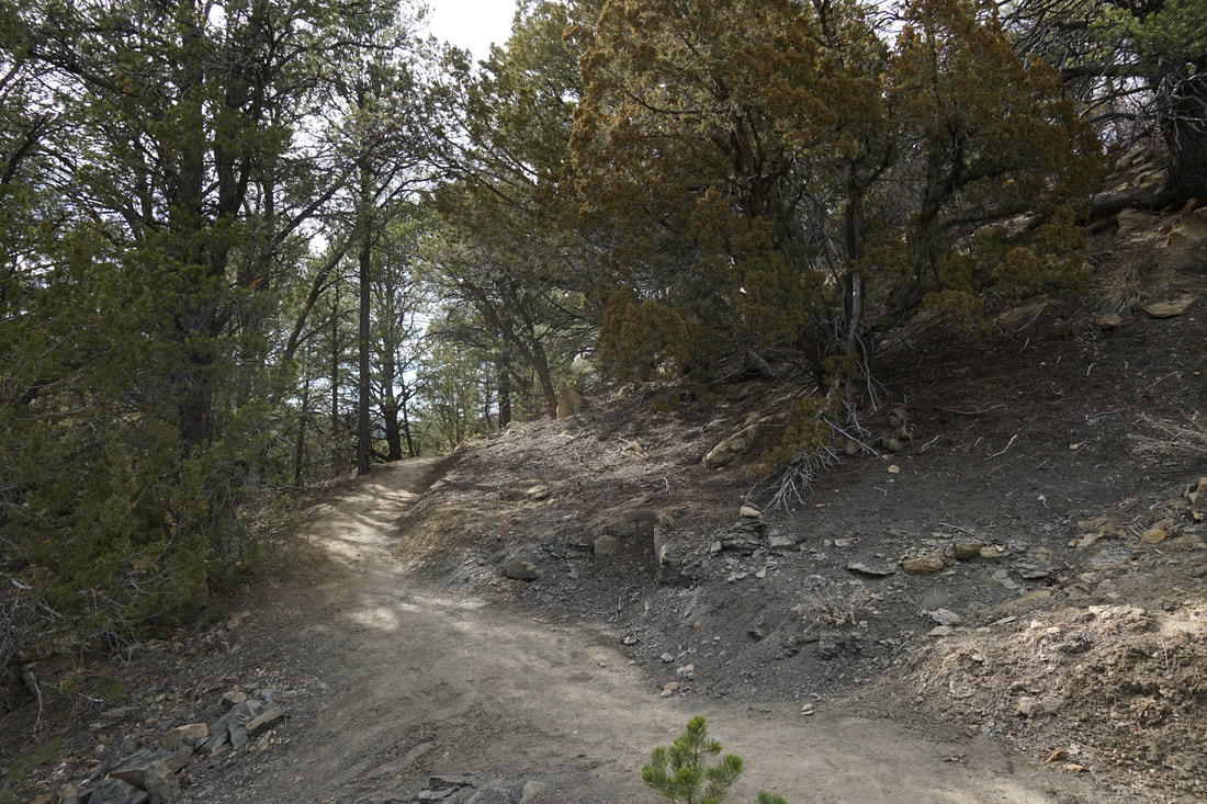
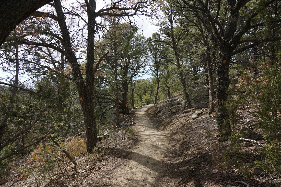
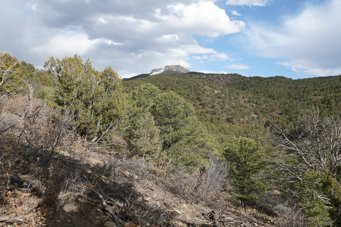
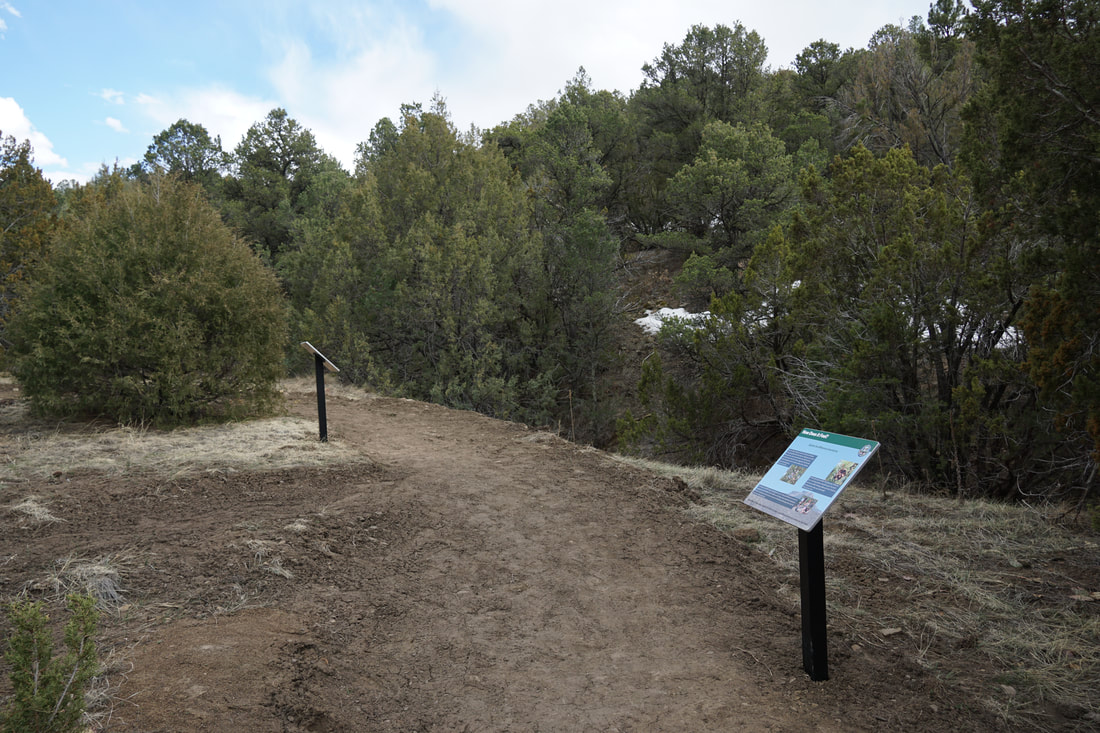
From the trailhead the trail follows an old and washed out road through juniper and sage forest. Fishers Peak is almost immediately placed front and center on this trail. The flat castle like peak towers about the trees and beckons you to hike closer. After only a few minutes of hiking you'll reach the fork in the trail. If you go straight, you'll reach the short Discovery Loop, a nature trail with interpretive signs. The First Look Trail heads off to the north and starts climbing up the hillside. It was at this junction where I got to play Colorado's favorite trail-side game..."Bigfoot or Bear." I snapped this photo...either way, I'd rather not meet the beast who made this footprint... 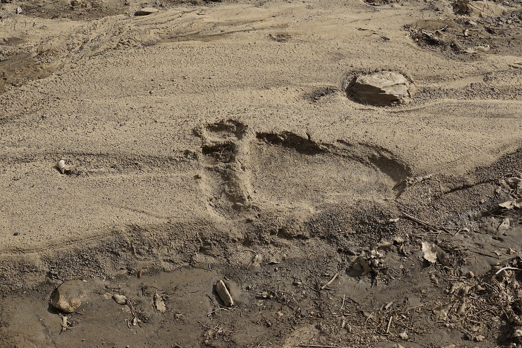
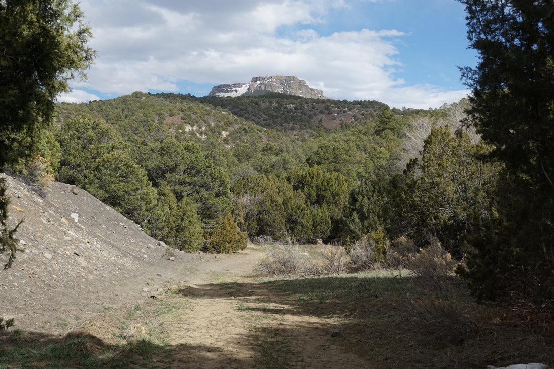
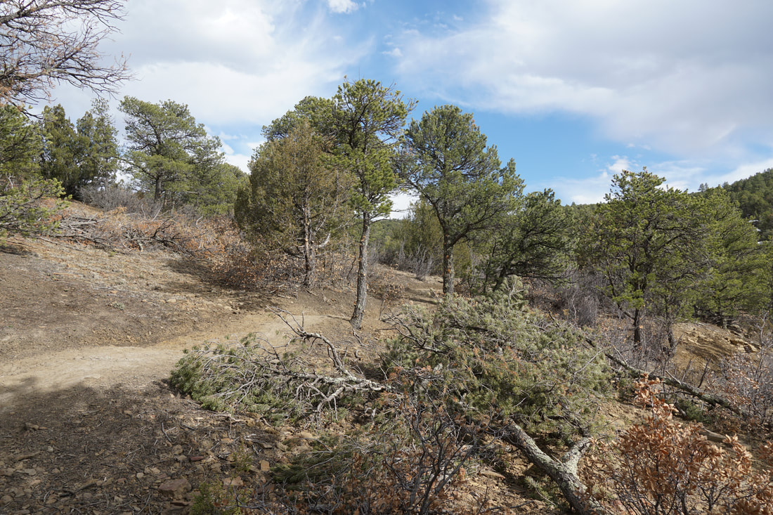
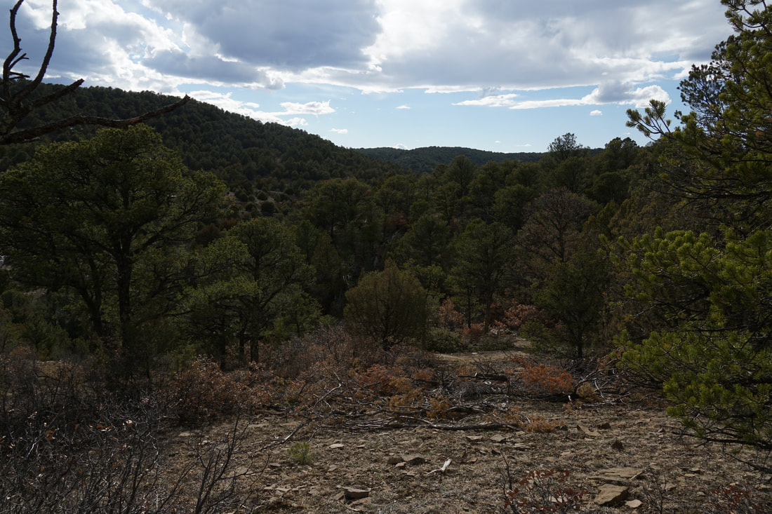
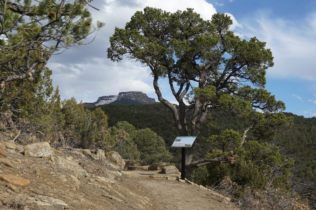
The First Look Trail climbs the hillside in gentle switchbacks. This trail was beautifully made and offers great views of the local hillsides. At the end of the 4th switchback is the end of the trail and the viewpoint. A stunning view of Fishers Peak is your reward. A sign at the viewpoint gives hikers an idea of what to look forward to when the park is completed.
This is a great trail to whet your appetite for this State Park. The Raton Mesa area is beautiful but largely overlooked by Colorado hikers. This park promises to change all that. The area was once a privately owned ranch which precluded public access to Fishers Peak. Once this park is completed a trail system will provide miles of hiking and I only hope...a trail to the top of the peak. I will be keeping my eyes out for updates from the CO DPW and will surely return to further explore this area. |
|