GO HIKE COLORADO
Get in Touch:
  • HOME
  • ABOUT
  • HIKES BY REGION
    • DENVER AREA >
      • Denver Mountain Parks
      • Jefferson County Open Space
      • Lakewood Parks
      • Denver Area Greenways
    • BOULDER AREA
    • DOUGLAS COUNTY
    • FORT COLLINS AREA
    • COLORADO SPRINGS AREA
    • FRONT RANGE
    • TENMILE & MOSQUITO RANGES
    • GORE RANGE
    • SANGRE DE CRISTO MOUNTAINS
    • PARK RANGE
    • SAWATCH RANGE
    • ELK MOUNTAINS
    • SAN JUAN MOUNTAINS
    • THE FLAT TOPS
    • GRAND MESA
    • COLORADO PLATEAU
    • EASTERN PLAINS
  • NATIONAL PARK HIKES
    • BENT'S OLD FORT NATIONAL HISTORIC SITE
    • BLACK CANYON OF THE GUNNISON NATIONAL PARK
    • COLORADO NATIONAL MONUMENT
    • CURECANTI NATIONAL RECREATION AREA
    • DINOSAUR NATIONAL MONUMENT
    • FLORISSANT FOSSIL BEDS NATIONAL MONUMENT
    • MESA VERDE NATIONAL PARK
    • ROCKY MOUNTAIN NATIONAL PARK
    • GREAT SAND DUNES NATIONAL PARK
    • HOVENWEEP NATIONAL MONUMENT
    • SAND CREEK MASSACRE NATIONAL HISTORIC SITE
    • YUCCA HOUSE NATIONAL MONUMENT
  • HIKES BY CATEGORY
    • HIKES TO ALPINE LAKES
    • HIKES TO PEAKS & PASSES
    • HIKES THROUGH CANYONS
    • HIKES WITH FALL COLORS
    • HIKES ALONG THE I-70 CORRIDOR
    • HIKES ON PAVED TRAILS
    • HIKES FOR KIDS
    • HIKES TO WATERFALLS
    • HIKES ALONG RIVERS
    • HIKES WITH ROCK FORMATIONS
    • HIKES WITH WILDFLOWERS
    • WINTER HIKES
  • NEWS
  • WEBCAMS
  • $UPPORT GHC
  • INTERACTIVE MAP

Filius Park

DUE TO RECENT CHANGES THESE TRAILS MAY NO LONGER BE OPEN TO THE PUBLIC, PLEASE RESPECT PRIVATE PROPERTY

Distance: 2.3 mi (RT)
Elevation Gain: 400 ft
Elevation Min/Max: 7,715 to 8,098ft
Trailhead Lat/Long: 39.695800º N; 105.354721º W
Managing Agency: Denver Mountain Parks
Fee: None

Denver Mt. Parks Website
Picture

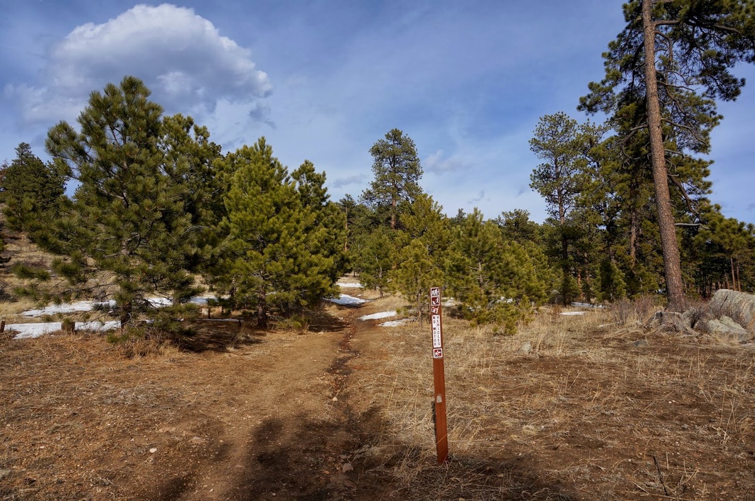
Directions:  Filius Park is a small Denver Mountain Park near Bergen Park.  From Denver, head West on I-70 and exit onto Evergreen Parkway.  Make a right onto Bergen Parkway and a quick left onto Soda Creek Road.  There is a parking area at the corner of Bergen Pkwy and Soda Creek Road.  The trailhead has a small trail marker but no other signage.

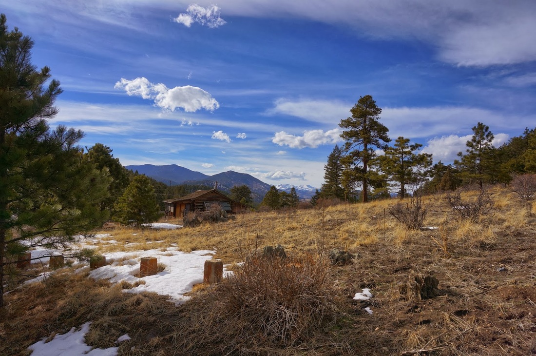
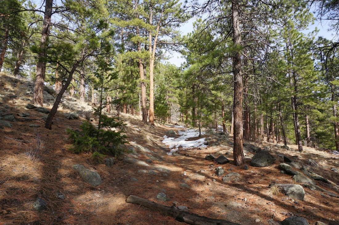
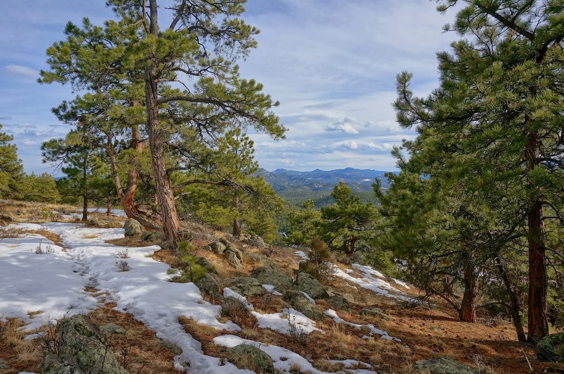
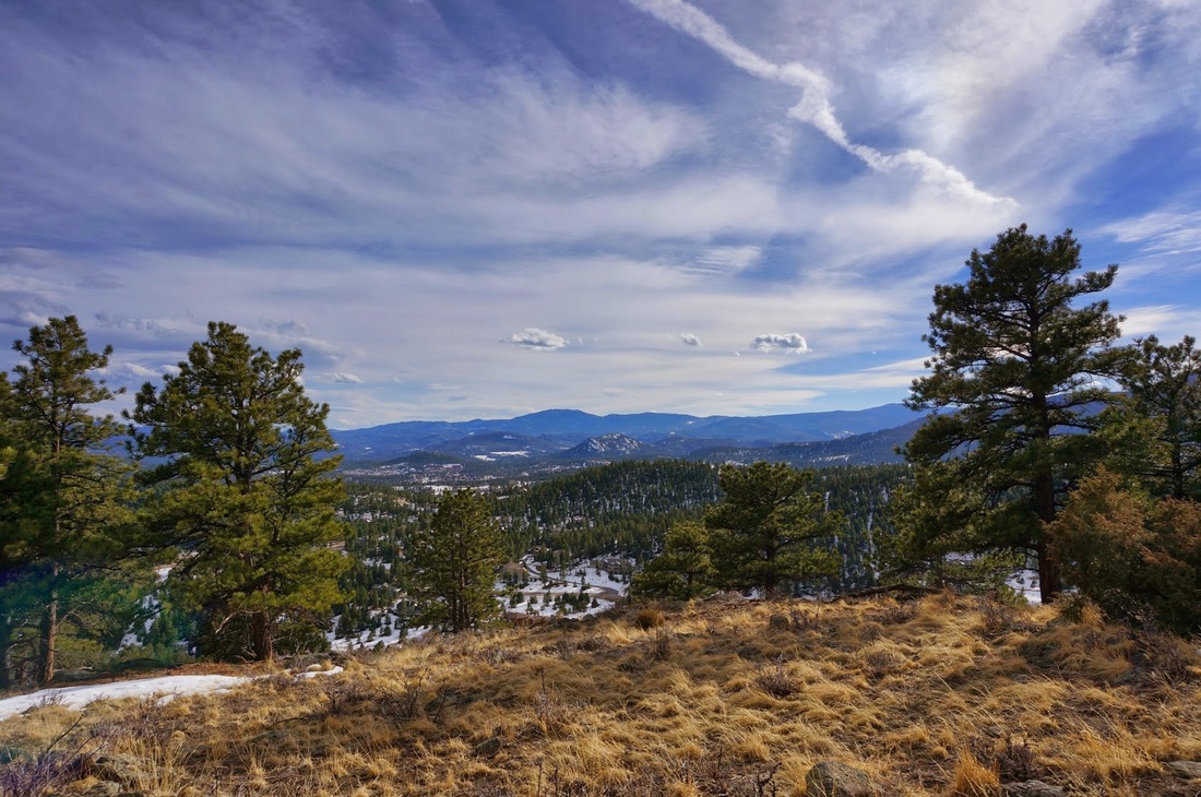
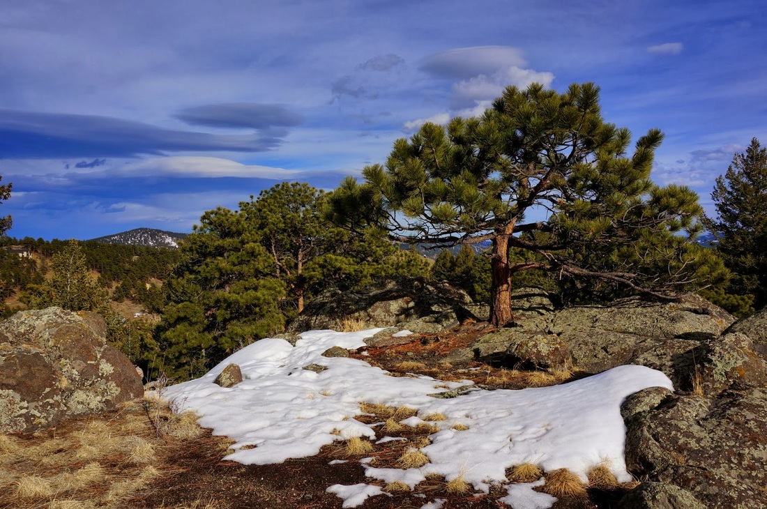
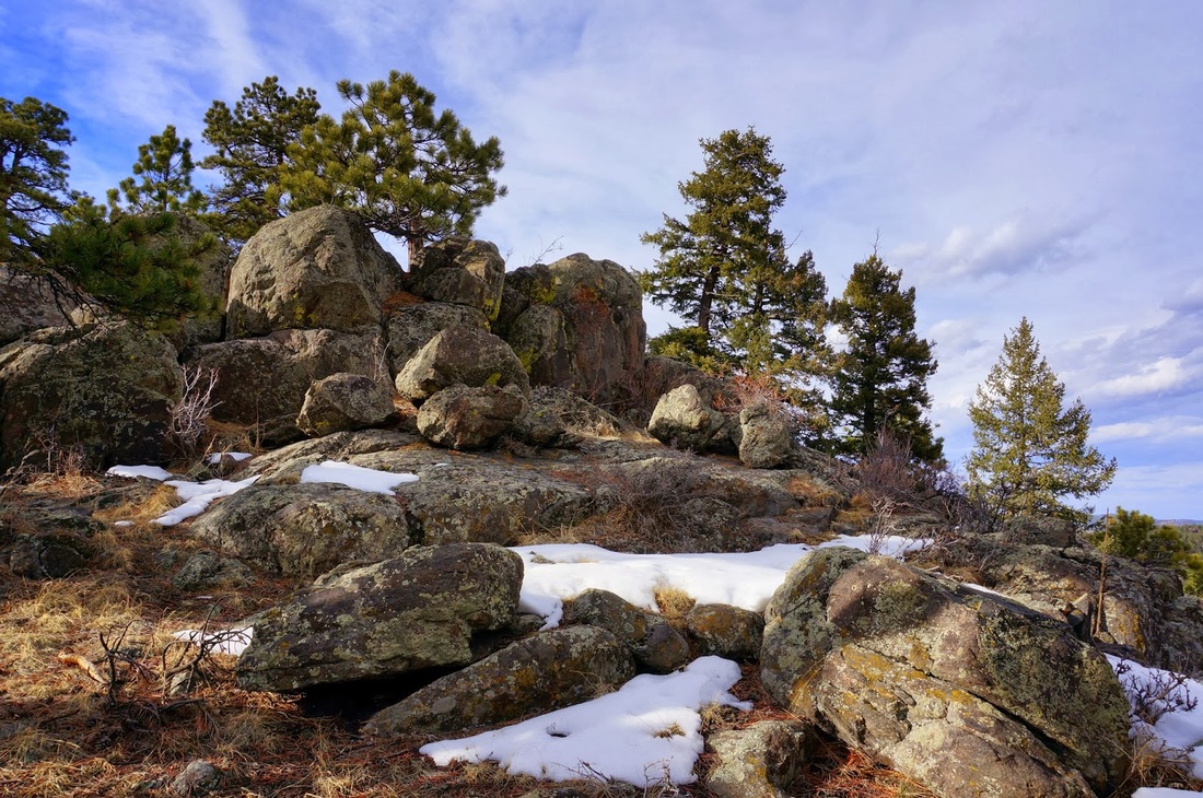
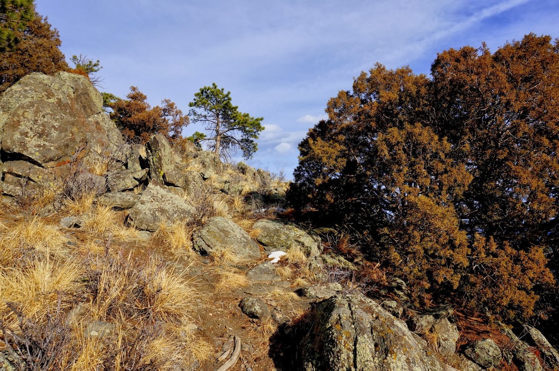
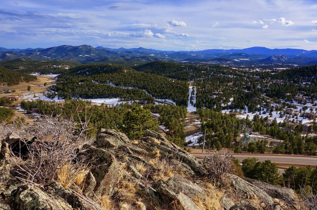
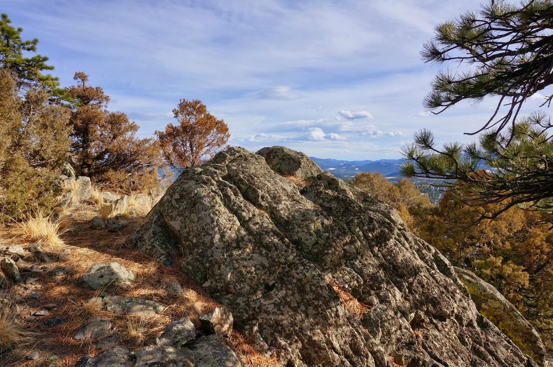
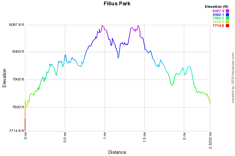
Head up the trail through pine forest gaining a few hundred feet.  Soon you come to a saddle with 3 options.  To the left is a short forested loop that brings you back to the saddle.  Going straight takes you down to a residential neighborhood.  The nicest part of this hike is going to the right.  This will take you up onto a rocky ridge with nice views of the surrounding foothills.  At the end the ridge you a suddenly looking onto a residential property so please be respectful and don't enter private property.  The ridge is fun to hike along and makes for a nice quick hike.
Powered by Create your own unique website with customizable templates.