|
| ||
|
DIRECTIONS: From Denver head west on I-70 to Idaho Springs and turn south onto 103 following the signs to Mount Evans. At Echo Lake, turn right onto Mount Evans Road and pass through the entrance gate (fee required). Follow Mount Evans Road all the way to the large switchback in between Summit Lake and the Summit of Mount Evans. Park here at 13,102 feet.
Most Coloradoans probably think of Mount Evans Road as a tourist destination packed with crowds during the summer. While it is true that Mt. Evans sees more than it's fair share of summer visitors, the road also provides unique access to high alpine tundra and if you choose your visitation time wisely it can be a wonderful place to hike. The road is a tremendous resource for those times where a five mile, 2,000 foot approach to the high country is just not possible.
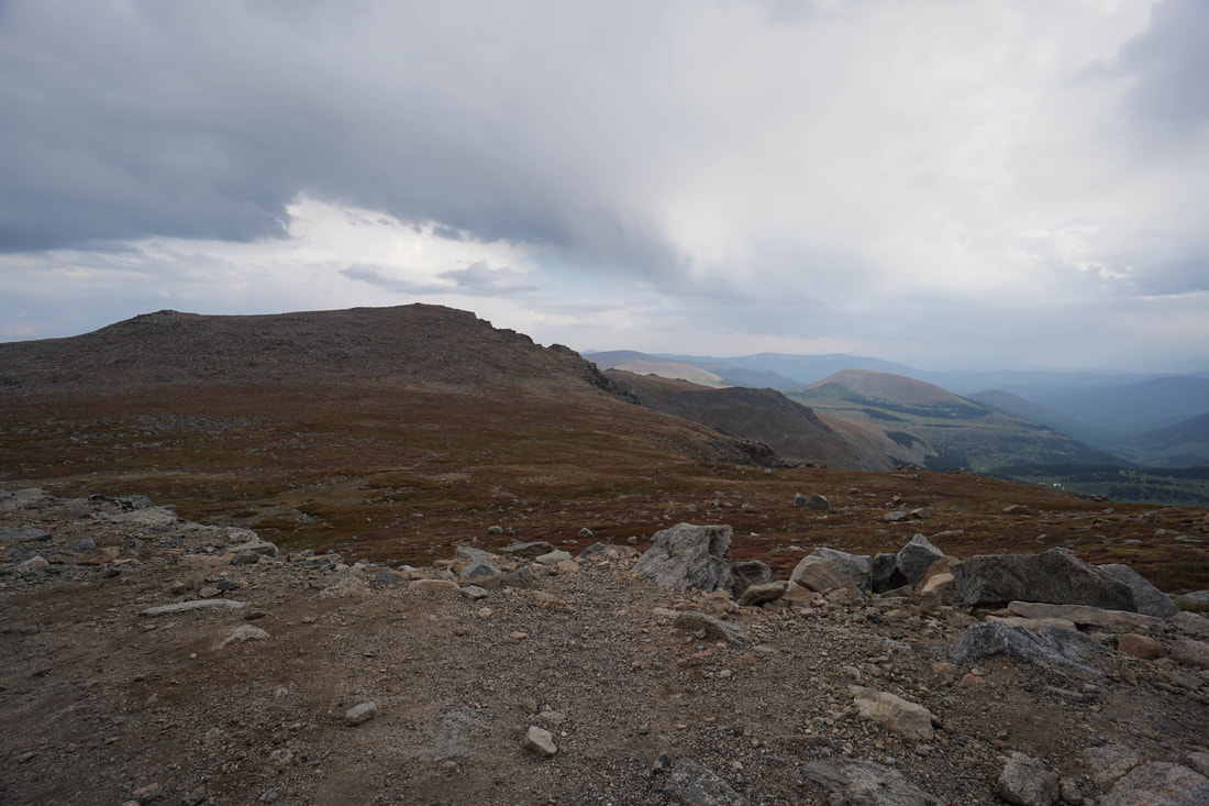
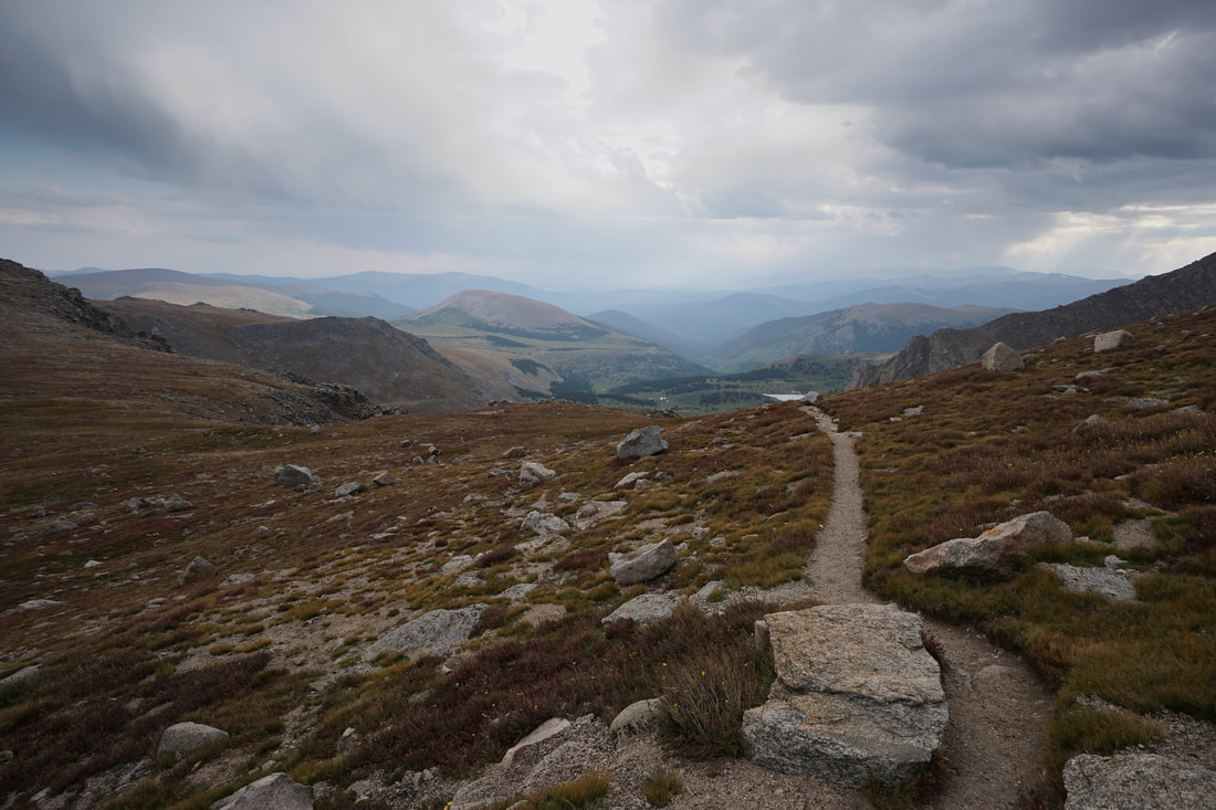
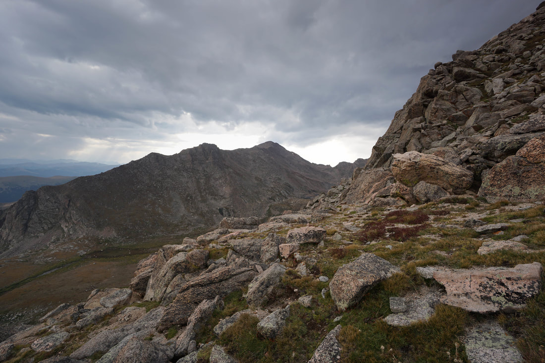
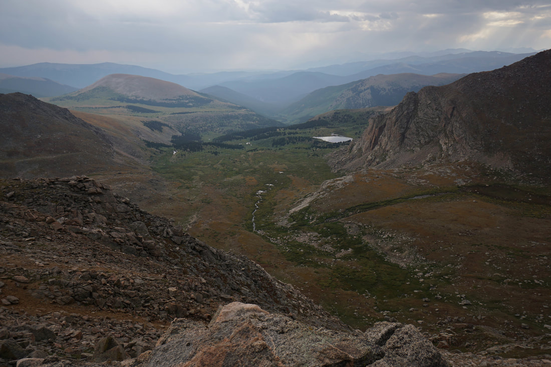
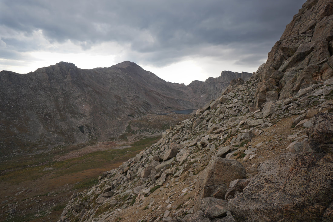
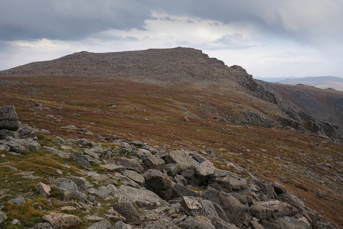
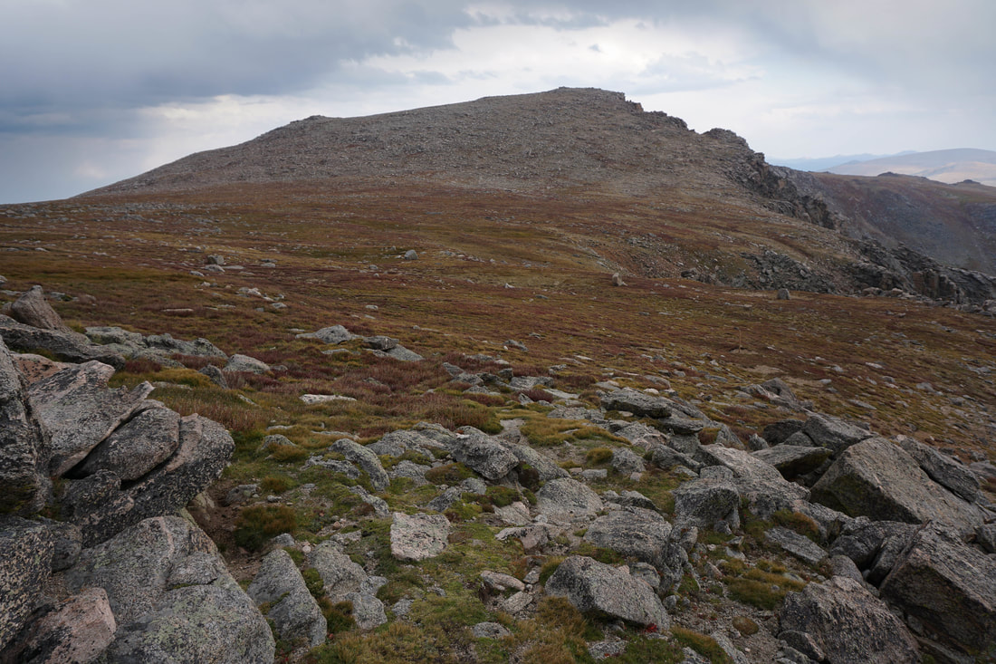
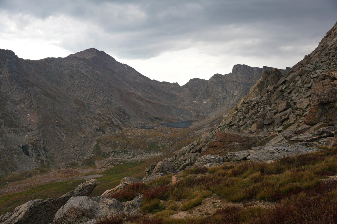
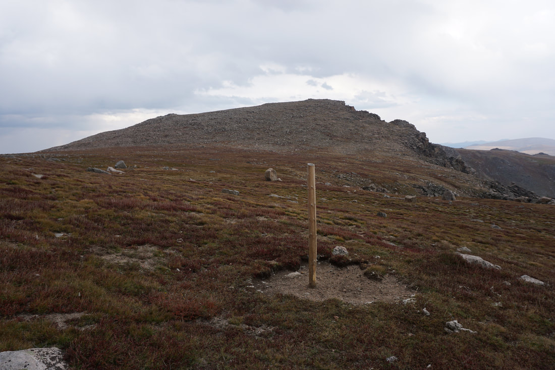
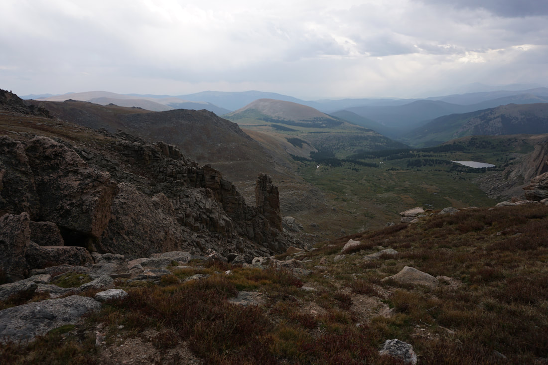
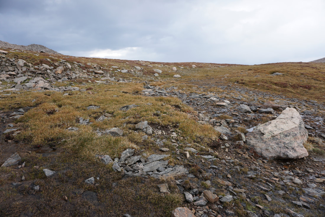
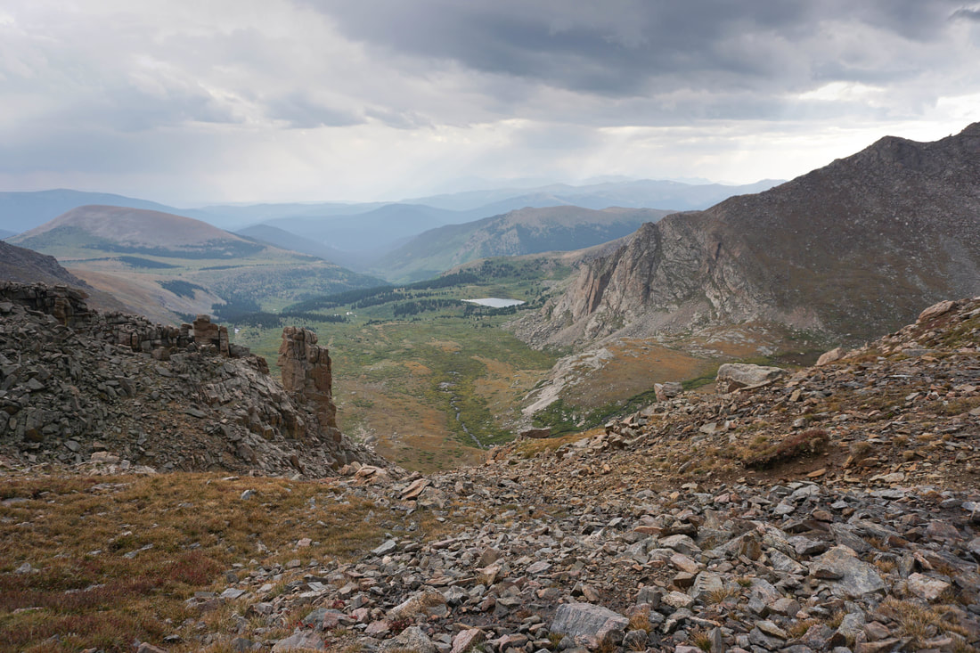
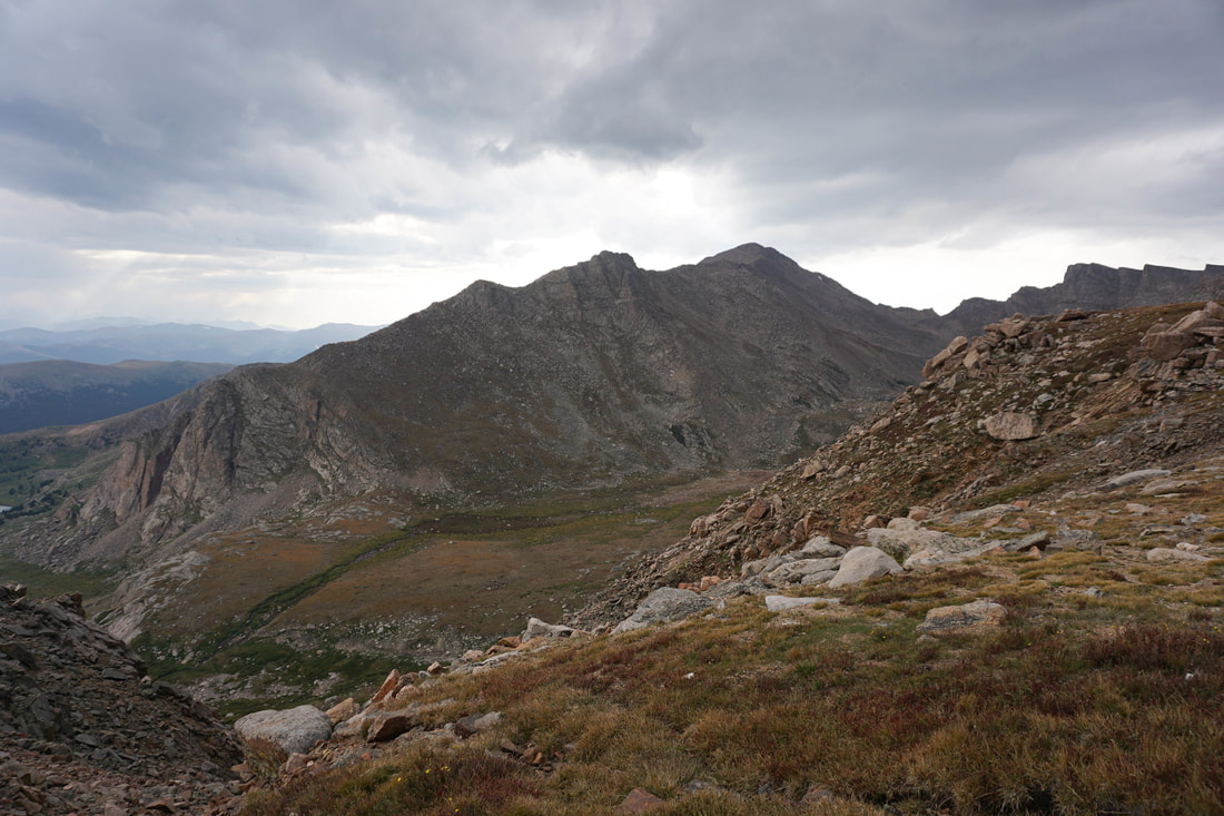
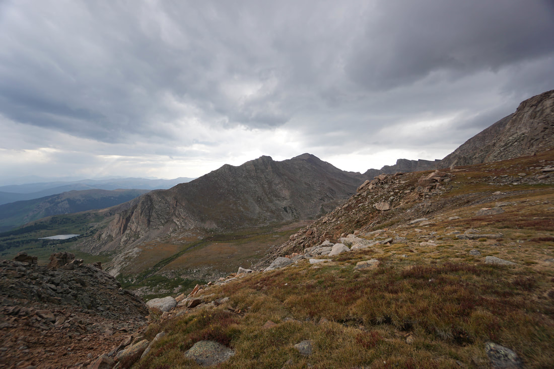
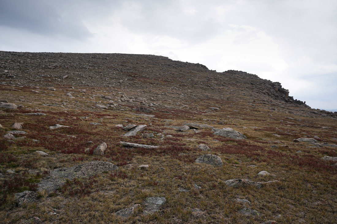
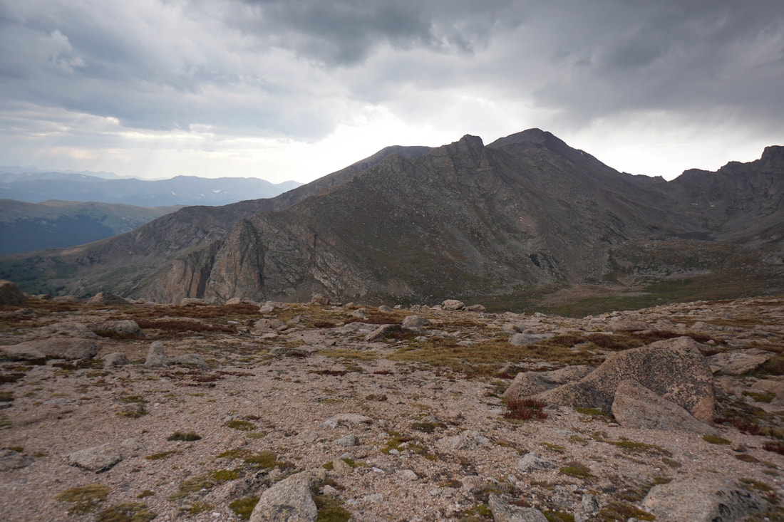
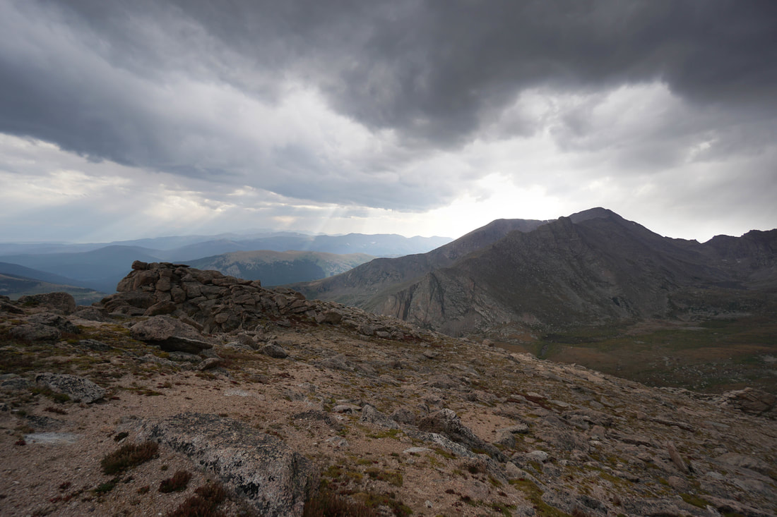
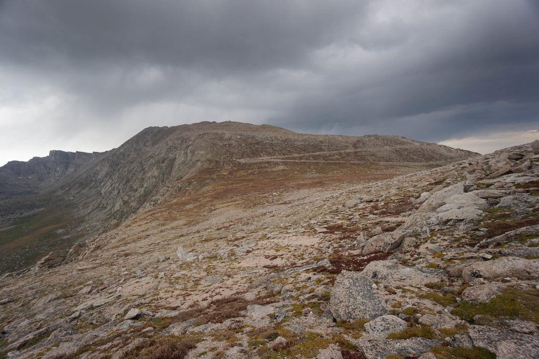
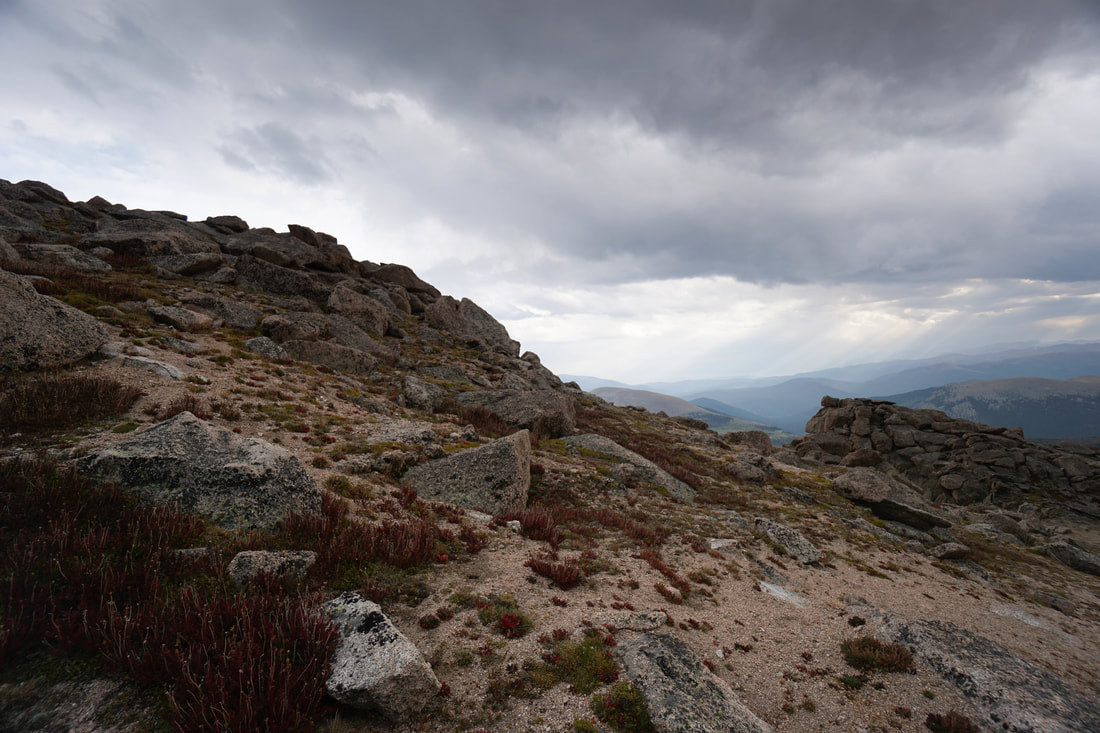
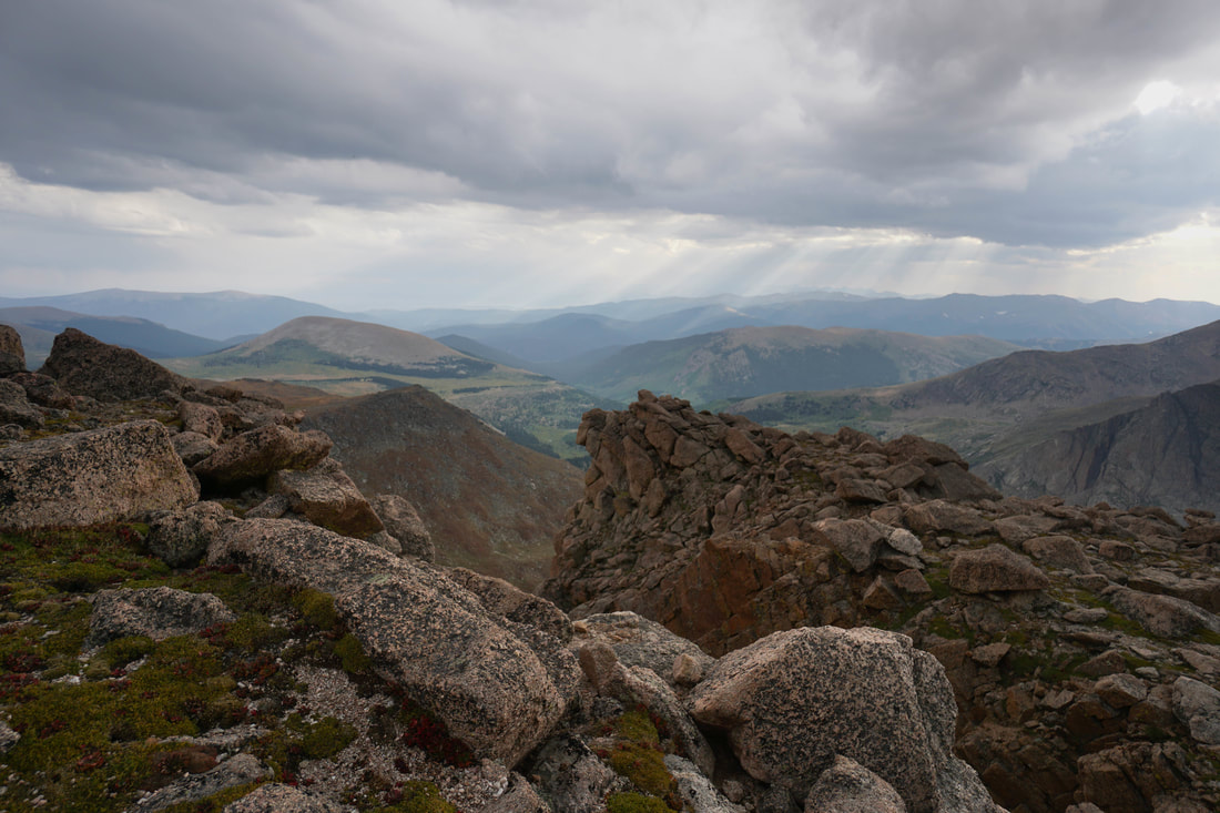
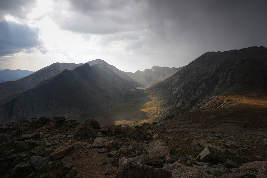
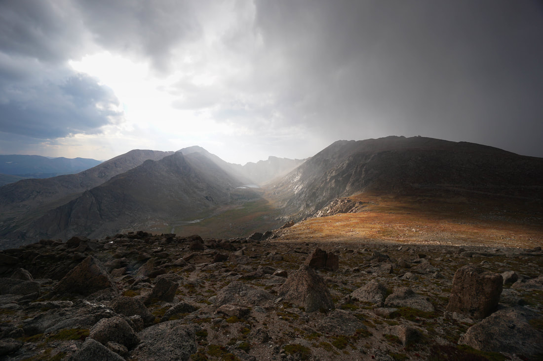
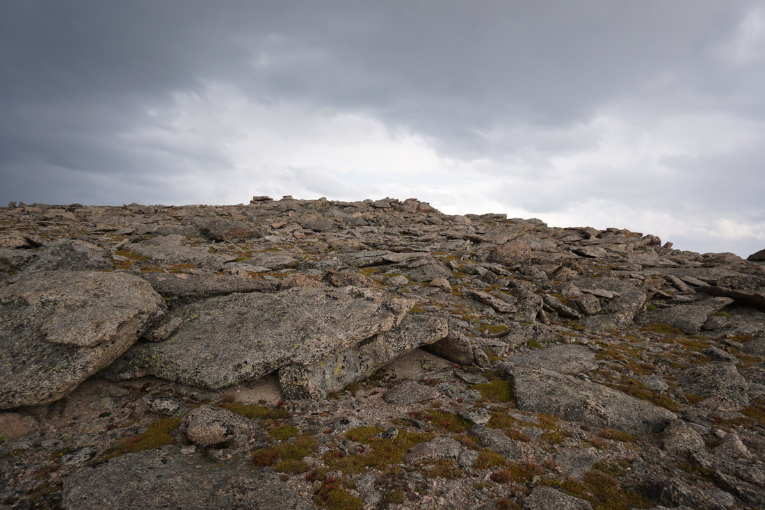
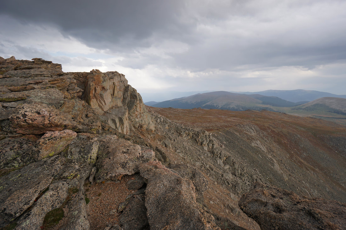
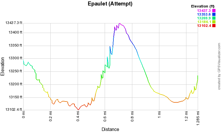
Epaulet Mountain 13,523 ft and Epaulie 13,530 ft are two peaks that can be easily accessed via Mt. Evans Road. Many peakbaggers would consider approaching these peaks via the road as cheating, but you know what, this route is a spectacular hike and an adventurous introduction to route finding and off trail peak bagging and as this description shows, it's no walk in the park. In fact, on this trip, I didn't even reach the true summit of Epaulet. This description is really more of a "how not to" summit Epaulet Mountain. Most importantly, don't hike above 13,000 ft when storm clouds are present, just don't do it. That's easy to say now, but in the moment, we all sometimes succumb to poor judgement. However, let this serve as a reminder, just don't do it, it's not worth the danger, the mountains aren't going anywhere. Lecture over. The route is relatively simple and straight forward. At the turnout you can see Epaulet Mountain directly to the south, the rounded east ridge and the rocky west ridge will be in clear view. From the turnout, there is a clear trail heading west. Hiking just a few feet on this trail will provide amazing views that stay with you for the entire hike. The views into the Abyss Lake Basin with Mt. Bierstadt and the Sawtooth Ridge towering across the valley is stark and beautiful. The trail winds downhill and fades as you go until it soon disappears. However the route is easy to discern as it drops to a small creek and then climbs up the western edge of Epaulet. Look for a wood post at the low point as a guide. After the post, just pick a route that works for you, the terrain is easy class two with no scrambling required. Staying to the west will provide the best views, but is not the most direct route. Still, by following the western edge it still less than a mile to the summit. Before you know it, you'll arrive at the summit, it is then about a half mile walk to the summit of Epaulie. That's about it for description, not too difficult. On the day that I hiked this route, the clouds were blowing through, I waited awhile at the trailhead and heard no thunder and saw no lightening, so I decided to go for it. The scene was beautiful, dramatic, and inspiring, until about .2 miles from the summit when the hail started, then the thunder. It was terrifying. I had to high-tail it back to the car with thunder booming and reverberating off the surrounding peaks, not a good situation to be in. I got lucky and made it back to the car with no issues, but it could just as easily have gone the other way. Don't hike above treeline when storm clouds are present...just don't do it... |
|