|
|
|
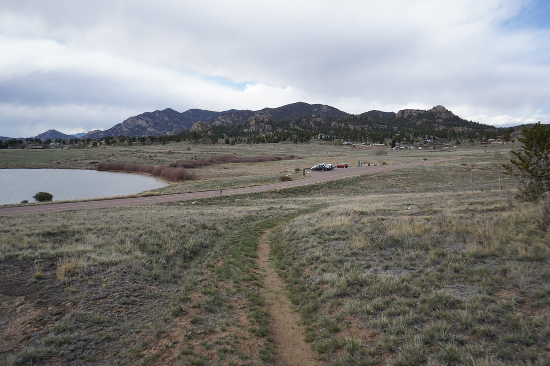
DIRECTIONS: From Lake George, head north on Hwy 24 and turn left onto CO 90 following signs for the State Park. Turn left on CO 92 and follow it to the park entrance. Follow signs to the Coyote Ridge Parking and Hiking Trails.
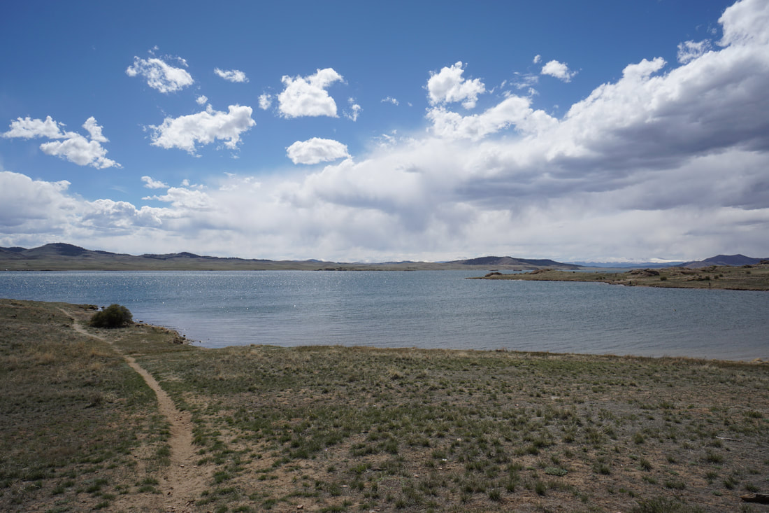
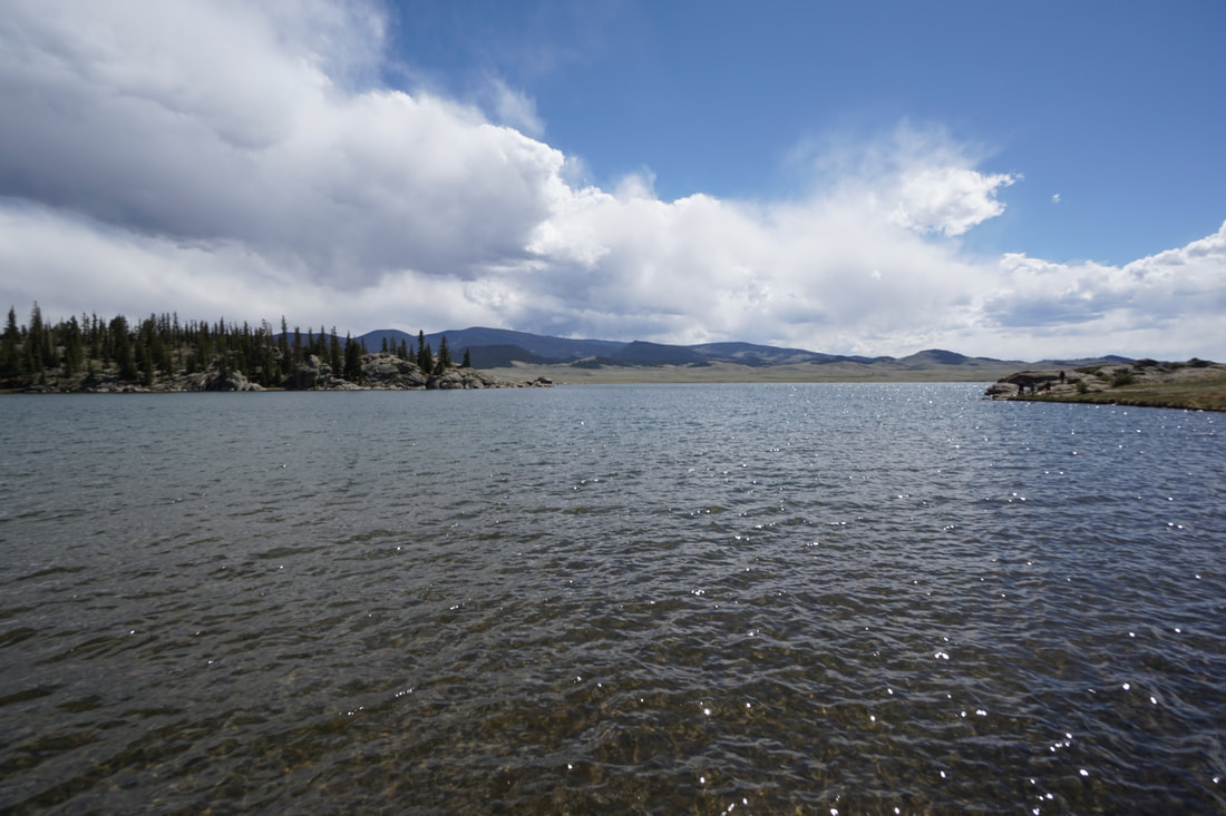
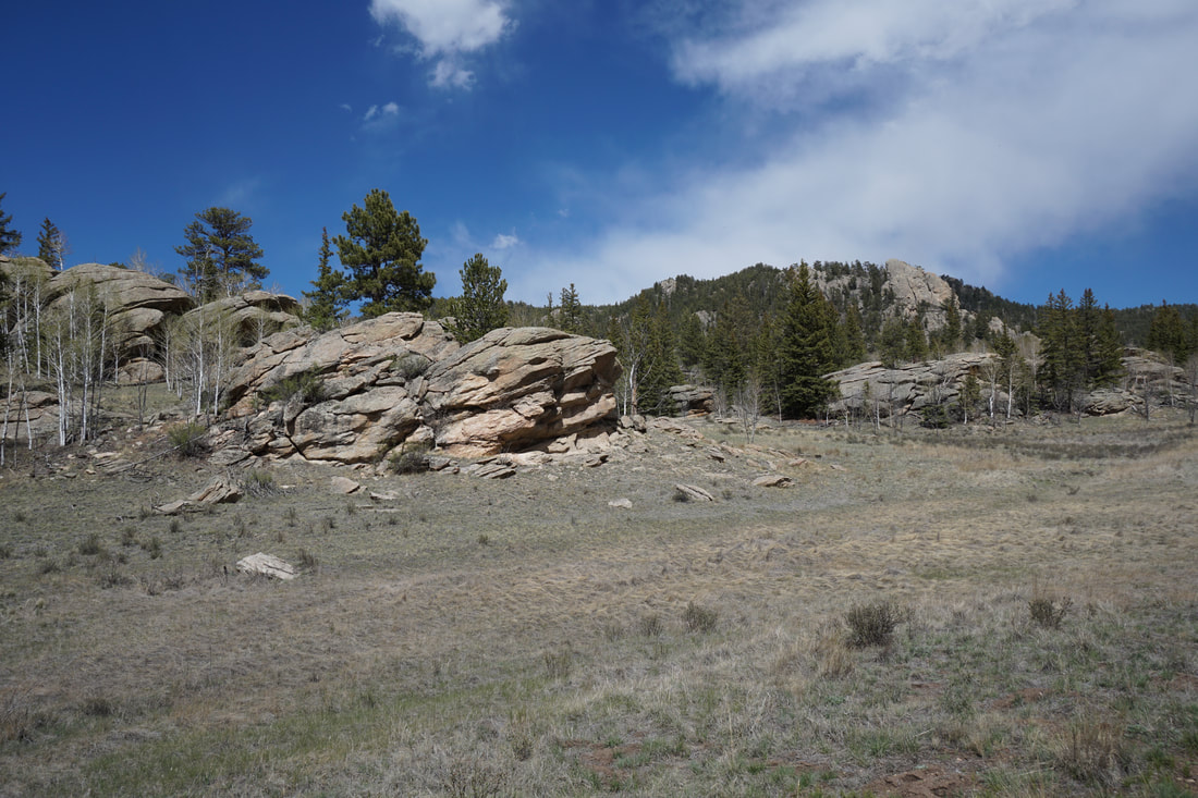
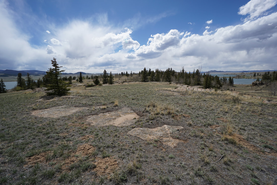
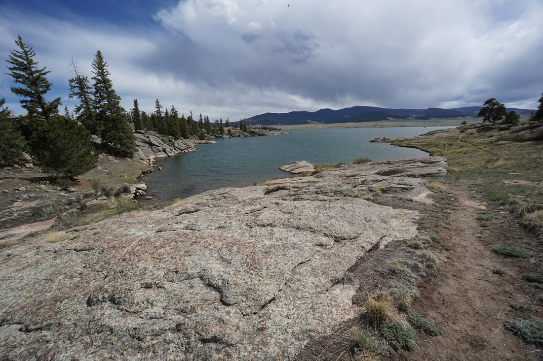
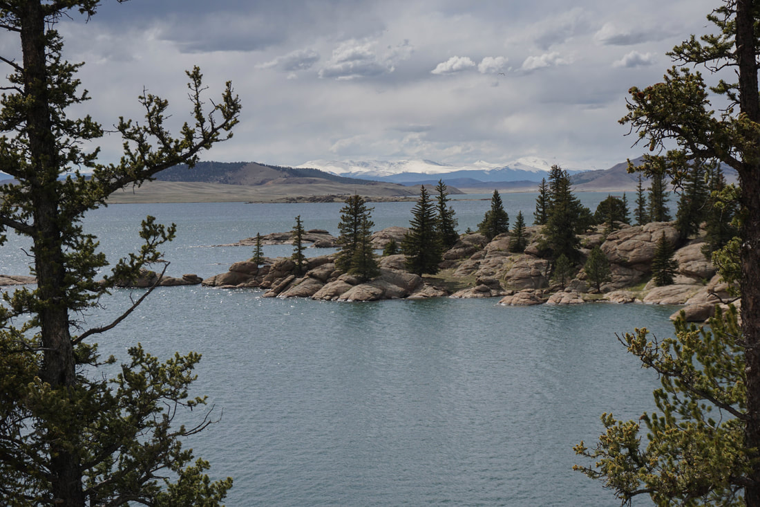
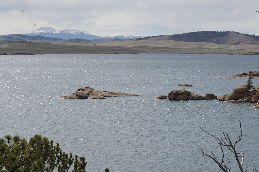
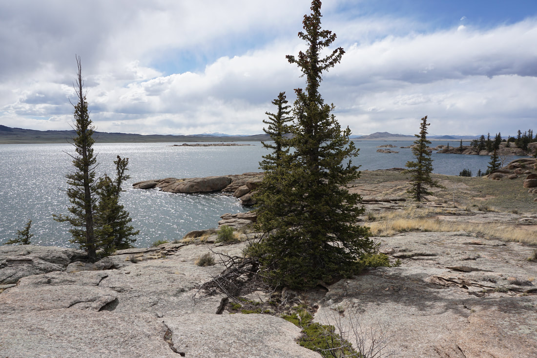
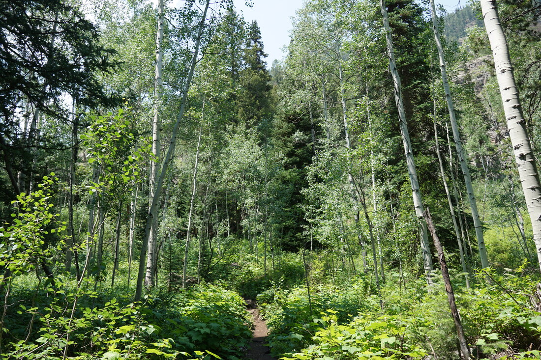
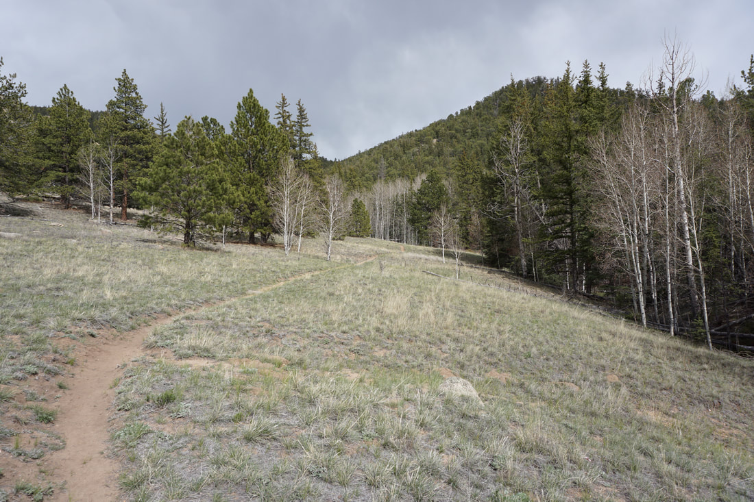
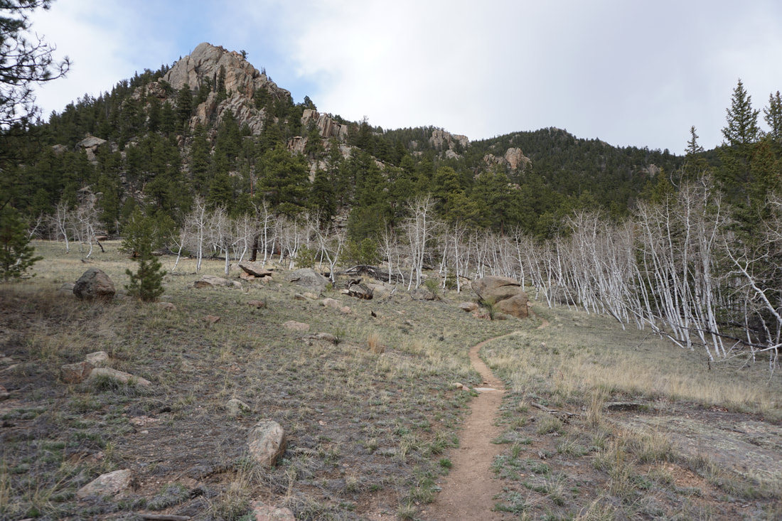
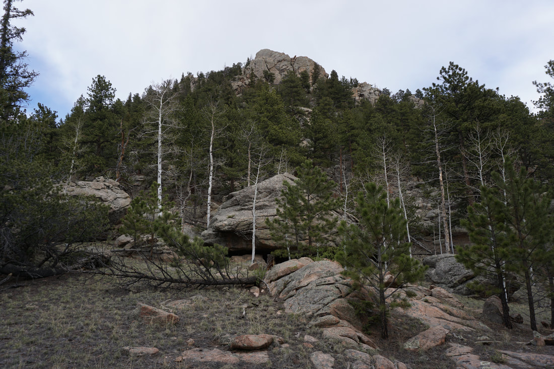
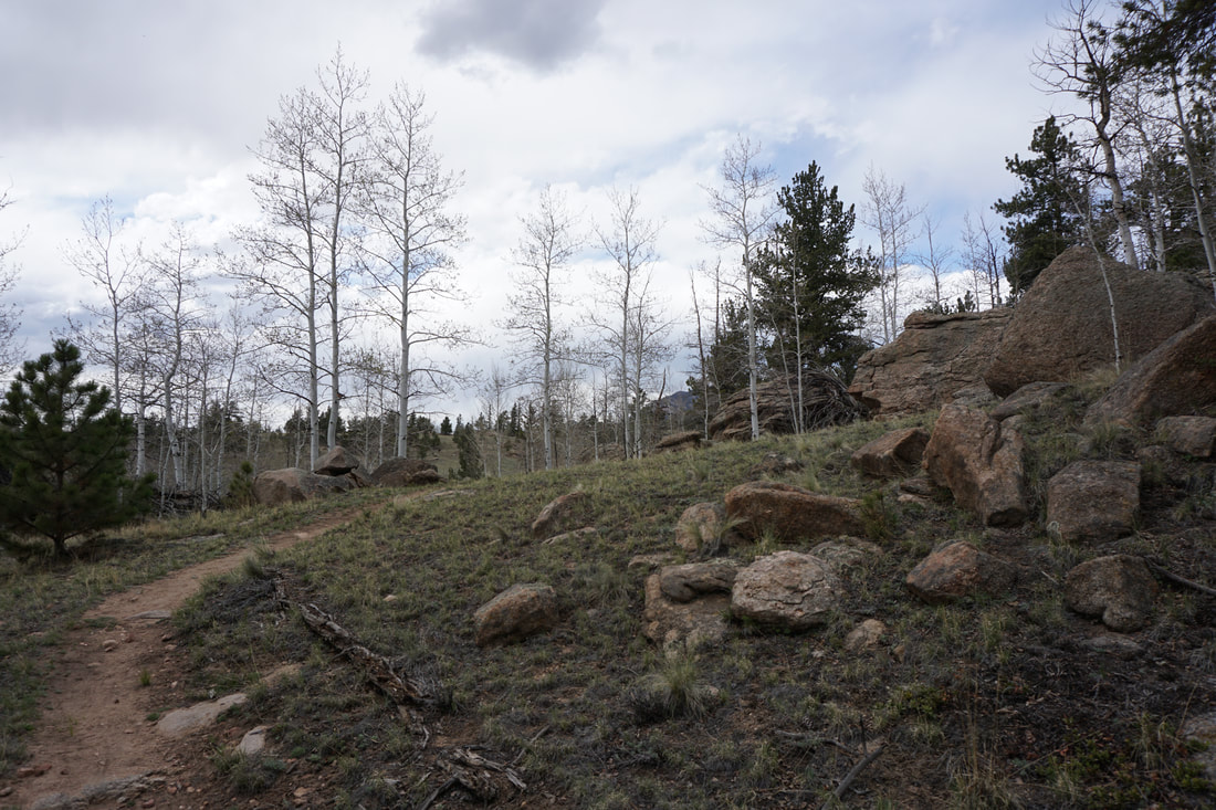
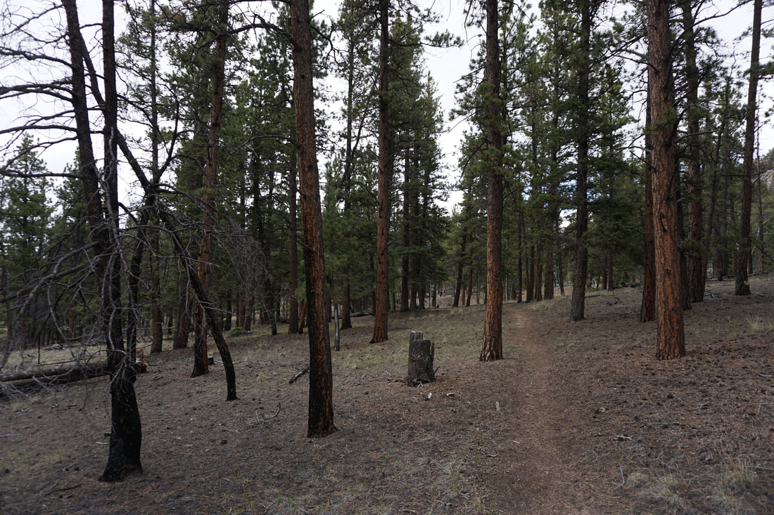
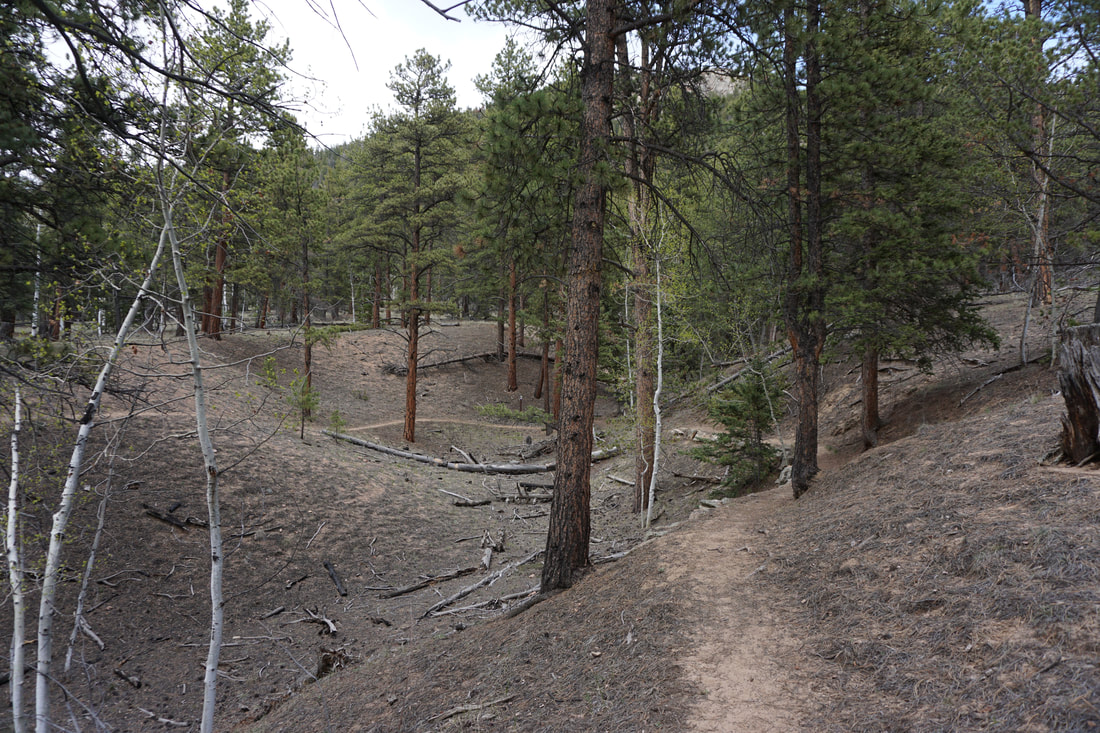
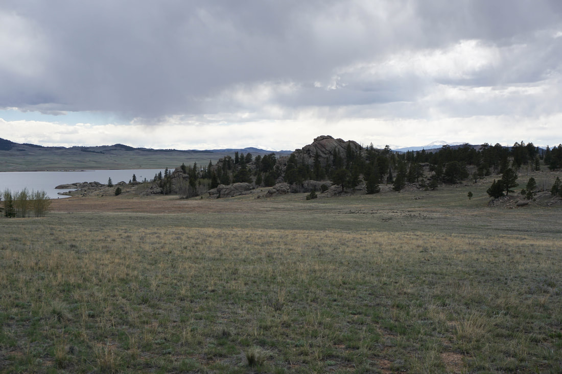
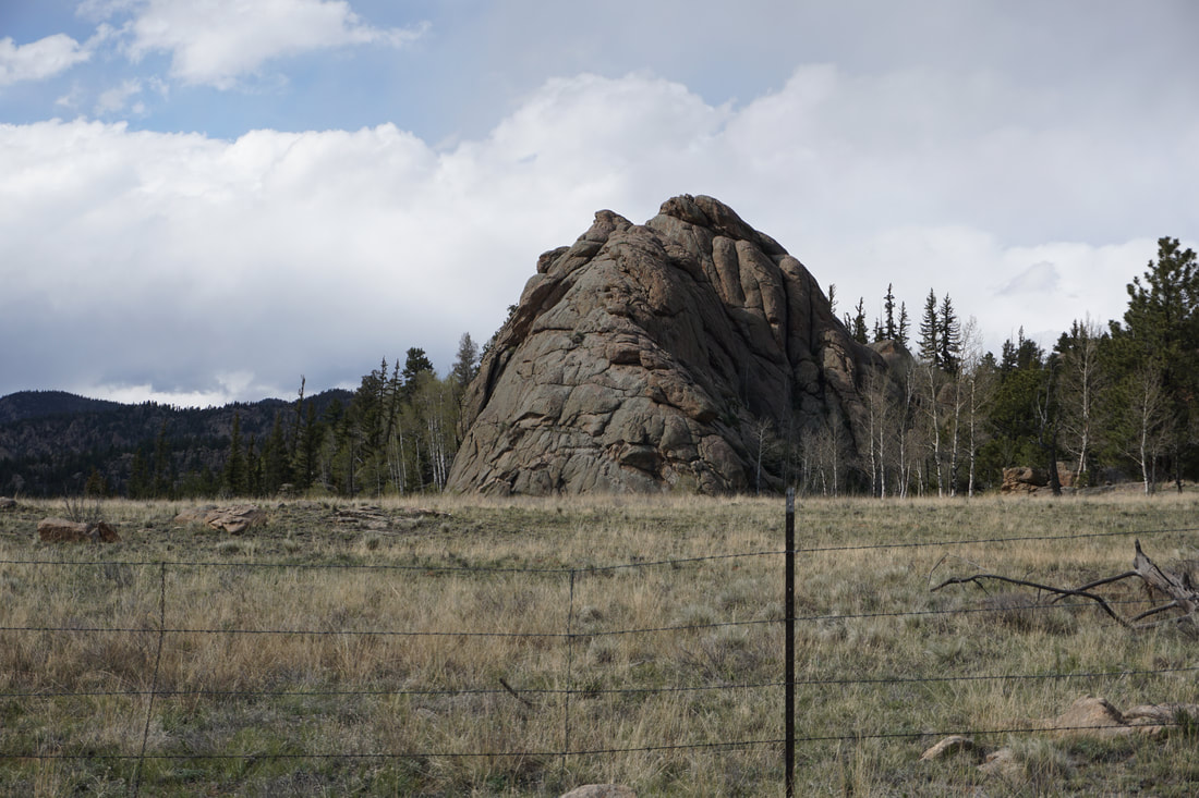
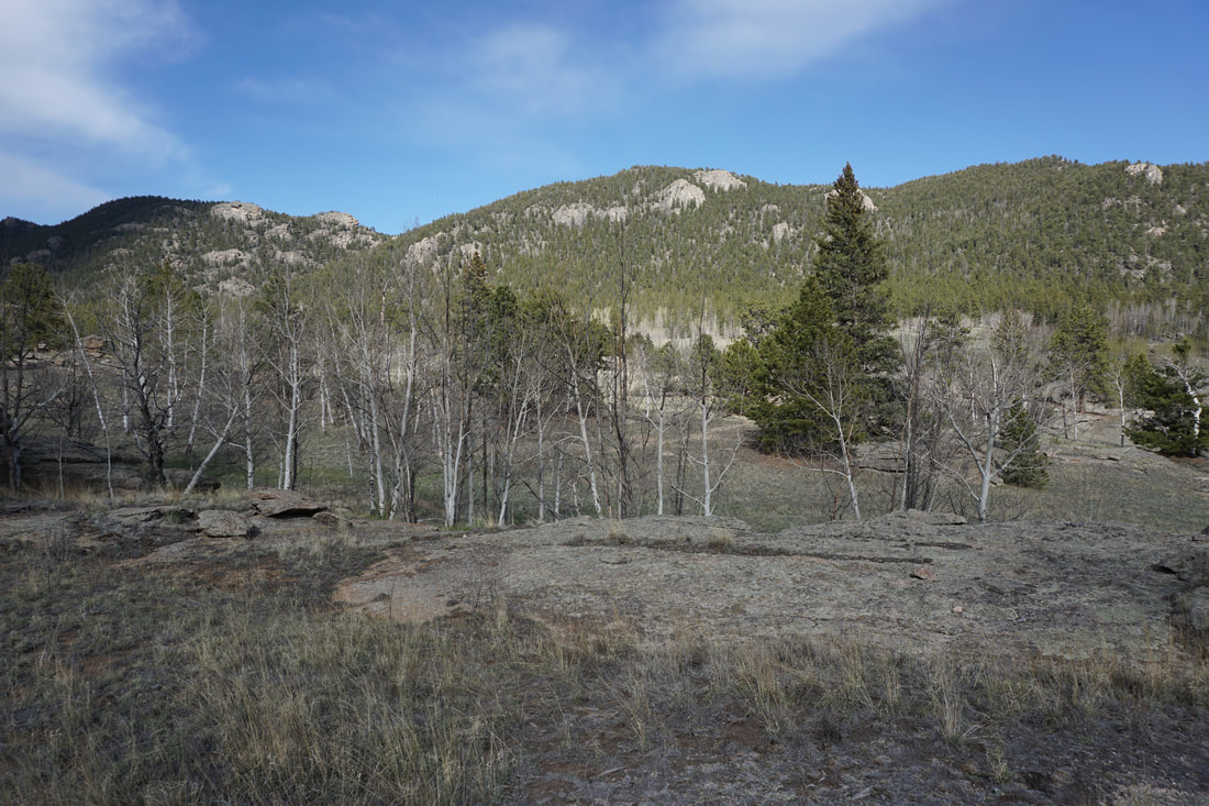
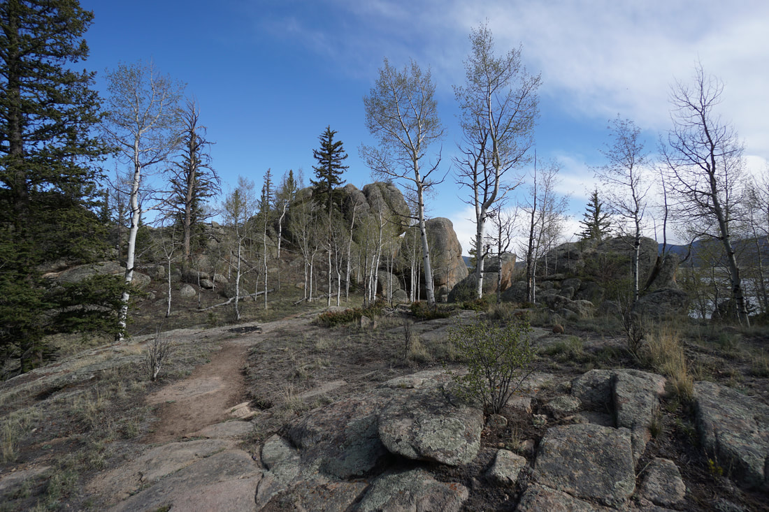
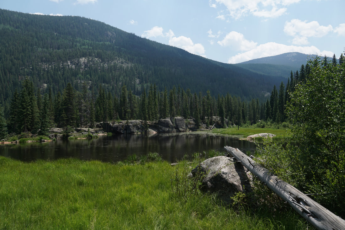
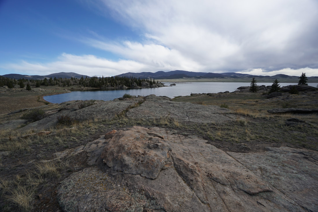
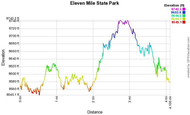
Eleven Mile State Park might not be high on your list for hiking destinations...but it should be... The park is beautiful and unique with a terrifically diverse 4 mile loop. The loop described here has a lot to offer, rocky shorelines, quiet coves, pine forest, aspen groves, unique rock formations, and expansive water views with soaring mountains in the distance. A beautiful park.
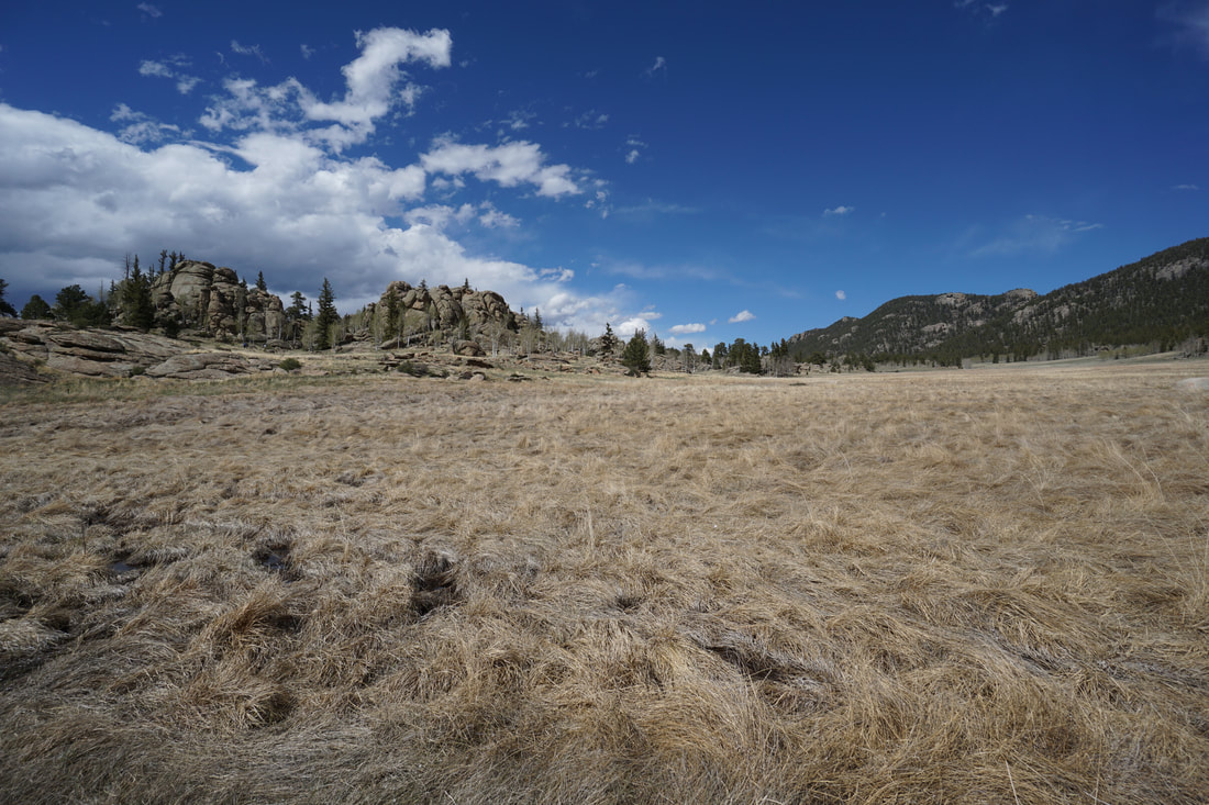
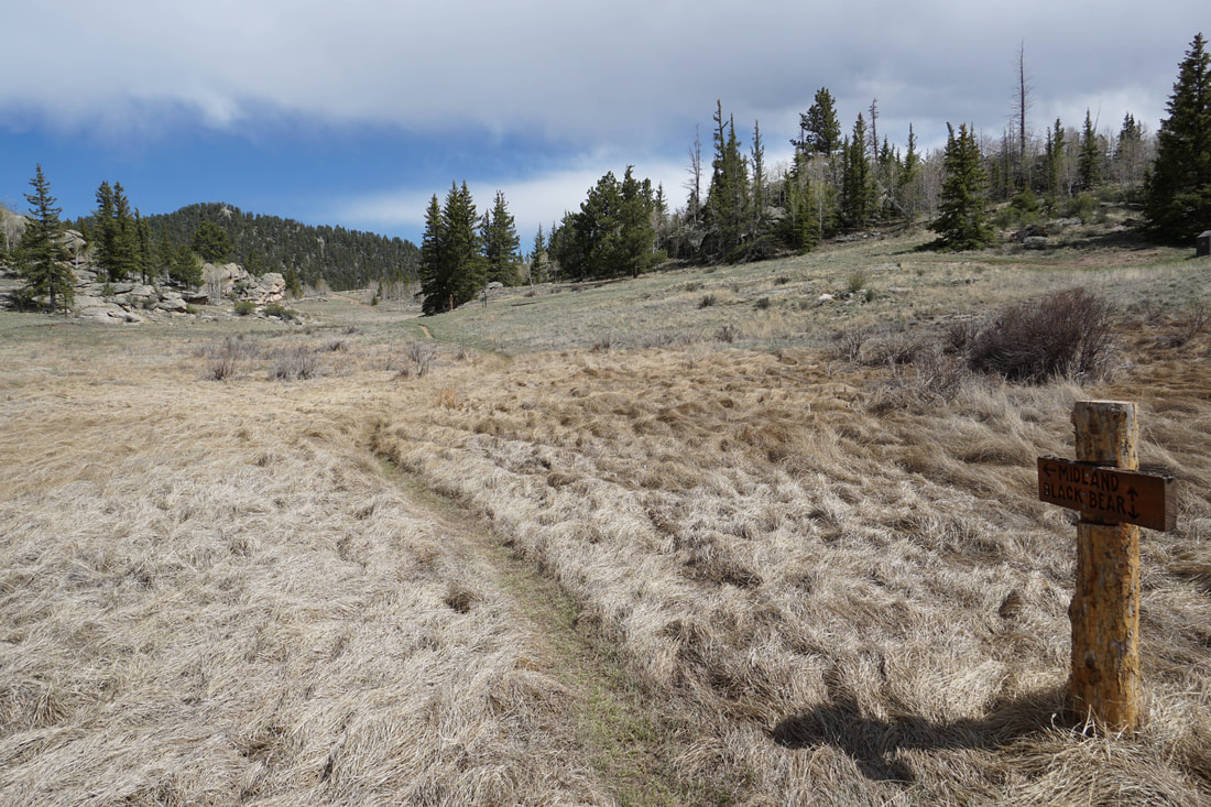
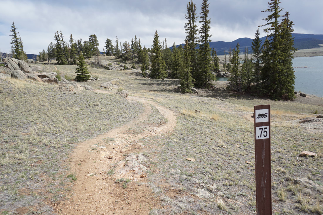
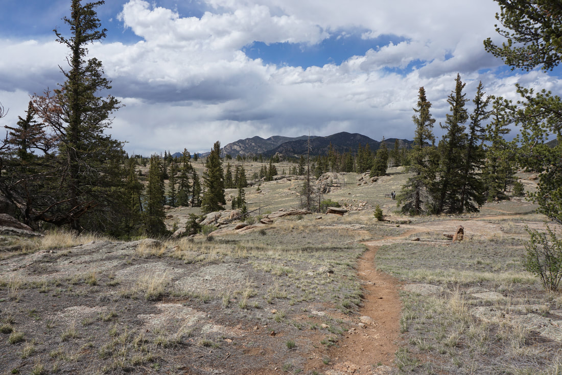
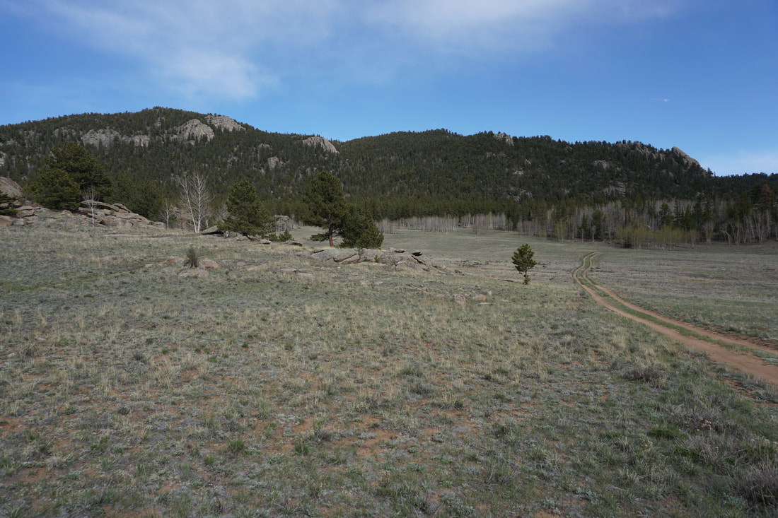
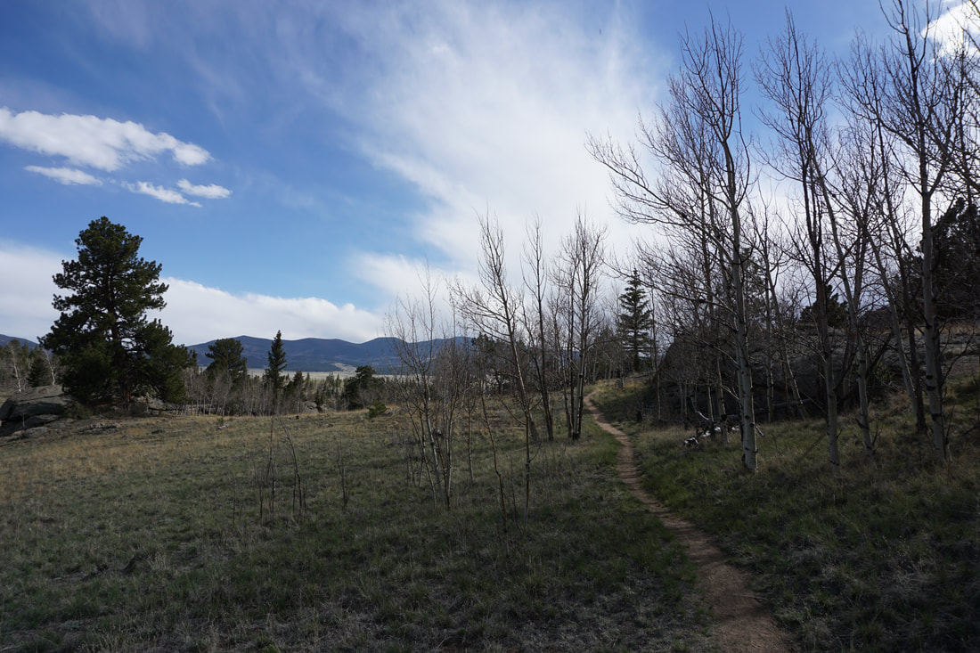
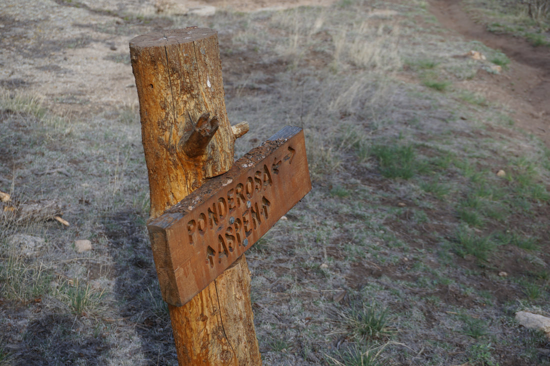
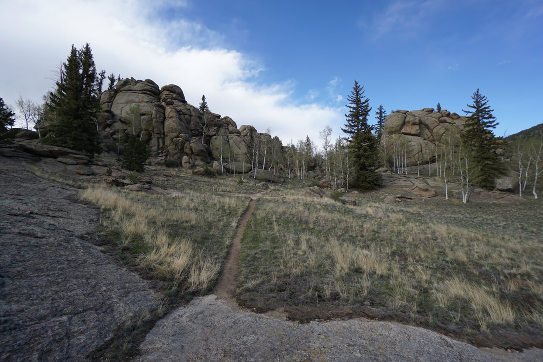
Yes, there are lots of people who visit this park on summer weekends. Yes, part of the trail weaves through campgrounds. But if you hit the park at just the right time...just before sunset...then the scenery is well worth sharing with all the other visitors. My one complaint about this hike is the signage, the trails could use better signs. Here is a little secret that should help you along the way...the little cartoon of a train on the trail sign represents the Midland Trail. The loop combines pieces of all the trails in the park and it starts at either the Coyote Ridge parking lot, or at the small lot near the entrance station if the parking is full. The trail starts along the southern portion of the Ponderosa Loop and connects the large parking area to the shoreline. Hug the coast as you leave the Ponderosa Loop and start the Midland Trail at the small trail marker with a tent cartoon. When you reach the far side of the inlet, a trail sign will point towards the coast (straight) for the Black Bear Trail or inland for the Midland Trail. Follow the Midland Trail. The trail will head towards the rocky, aspen covered hills of the park's interior and then turn southeast. The next junction has a trailmarker with the train cartoon (again, this is the Midland Trail), however when I hiked this trail I did not take the Midland Trail and instead found myself on the Black Bear Trail. This was a great mistake and you should do the same thing. The Black Bear Trail cuts through the backcountry campground area and crests a rocky hill with wonderful views. This is a very scenic part of the park so you should hike at least some part of the Black Bear Trail. Soon, you'll find yourself at another "train" trail junction. Follow this trail as it leaves the campground and follows the shore of a quiet cove. Continue following the shoreline to the southern point of a peninsula. When you reach a trail junction follow the sign south to the "Viewpoint," a short but worthwhile detour. Return to the junction and hike to the north downhill towards a pleasant wide open meadow. The trail crosses the meadow and heads east towards a rocky peak. As you near the peak, the trail enters the forest through beautiful aspen groves (would be amazing in the fall). The trail then weaves through the aspen groves as it heads north. The Aspen forest soon turns to Ponderosa Pine forest before opening again to the meadow this time heading back towards the lake shore. Before long, you'll come to the Aspen Loop, take this loop in either direction and enjoy the towering rock formations. Rejoin the Ponderosa Loop and hike through more rock formations until you arrive back at the Coyote Ridge Parking Lot. You may lose your way a few times along the loop, but just keep heading south until you find the "Viewpoint" and the junction that leads you east towards the forest. If you are short on time, hiking the Ponderosa and Aspen Loops would be a nice outing, but you really need to wind your way through the entire trail to get the most out of this park. You'll be glad you did. |
|