|
DIRECTIONS: At Lake Granby on Hwy 36, drive north for 1 mile past the Stillwater Campground and turn left (west) on County Road 4. Follow CR 4 which becomes Forest Road 123. At the junction with Road 120, bear right (north) and head up 120 for 3.8 miles to Road 820. Road 120 is a good dirt road though it gets a bit rocky and steep. Most vehicles should be able to get up the road in good weather but you'll feel more confident if you are driving a vehicle with some decent clearance.
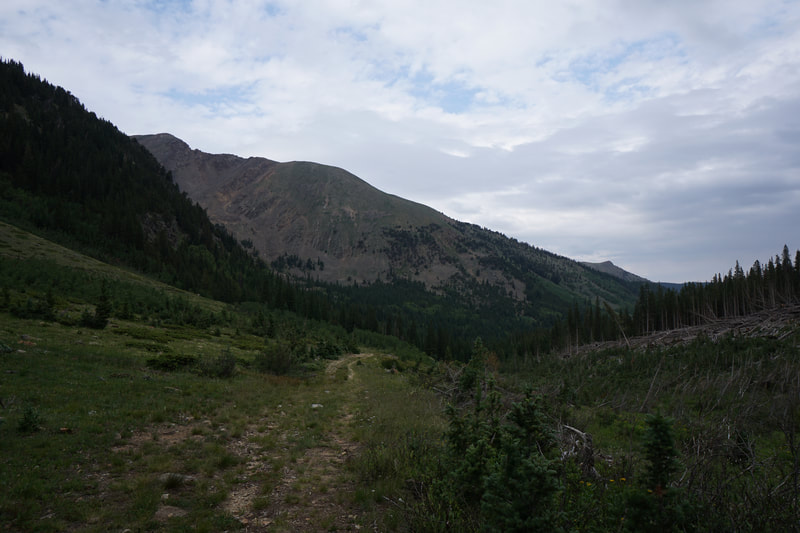
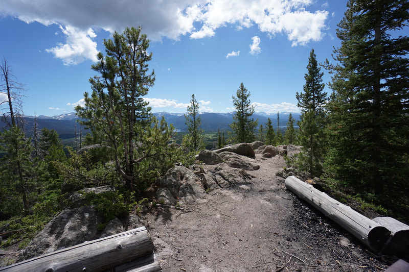
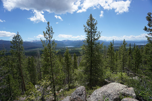
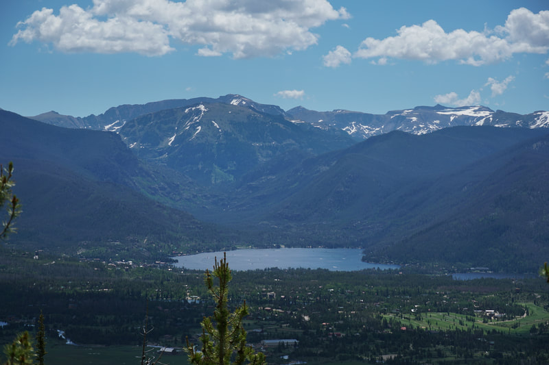
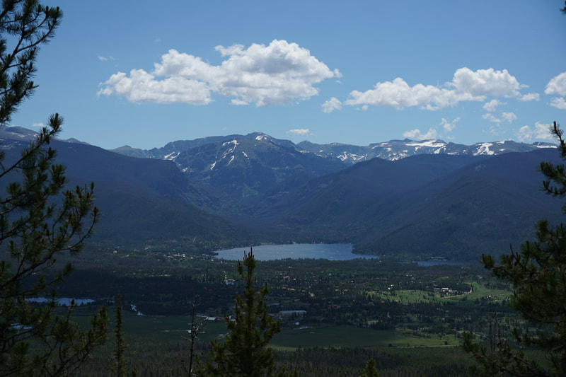
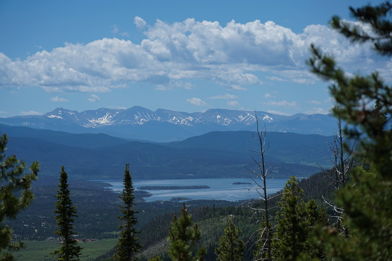
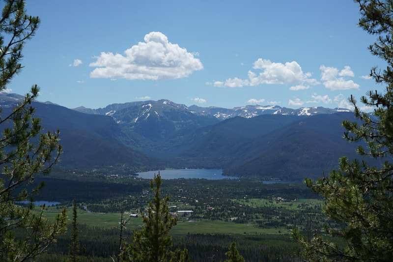
The Eagles Perch Trail is an interesting hike. The hike itself is short and sweet with an amazing view overlooking Grand Lake, Shadow Mountain Lake, and Lake Granby. However, the hike is in the middle of the Bowen Gulch section of the Arapaho National Forest. This area is known for its Off Road Vehicle use trails and vast amounts of dispersed camping. It's a beautiful area but you need to be careful since motorized vehicles are allowed to use this trail as well. You need to be on your toes and listen out for approaching ATVs and dirt bikes.
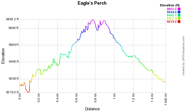
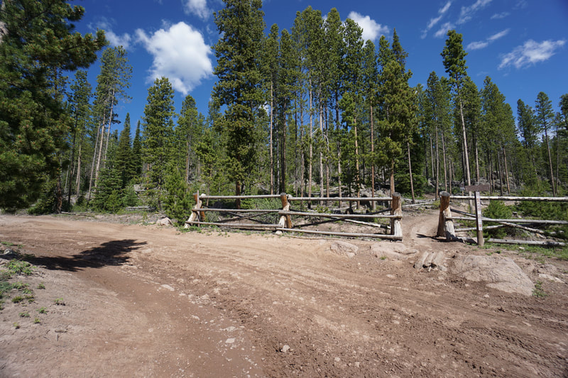
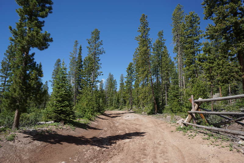
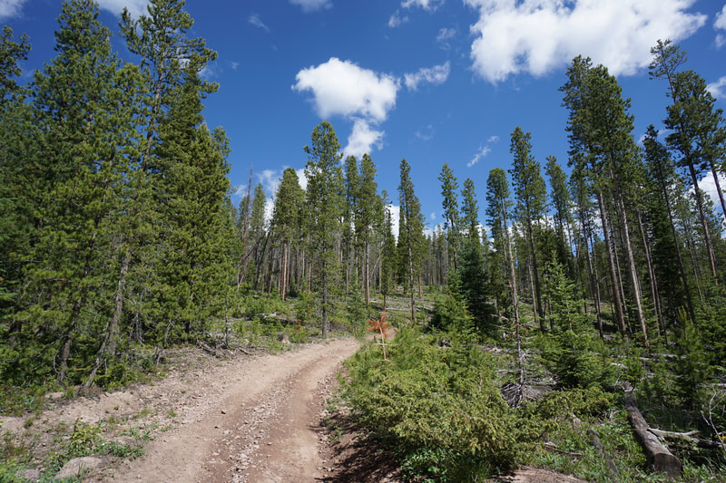
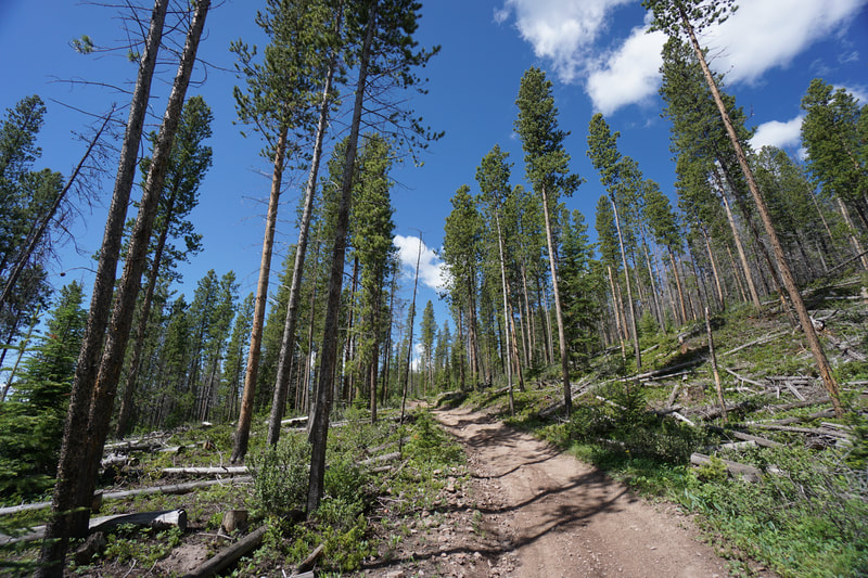
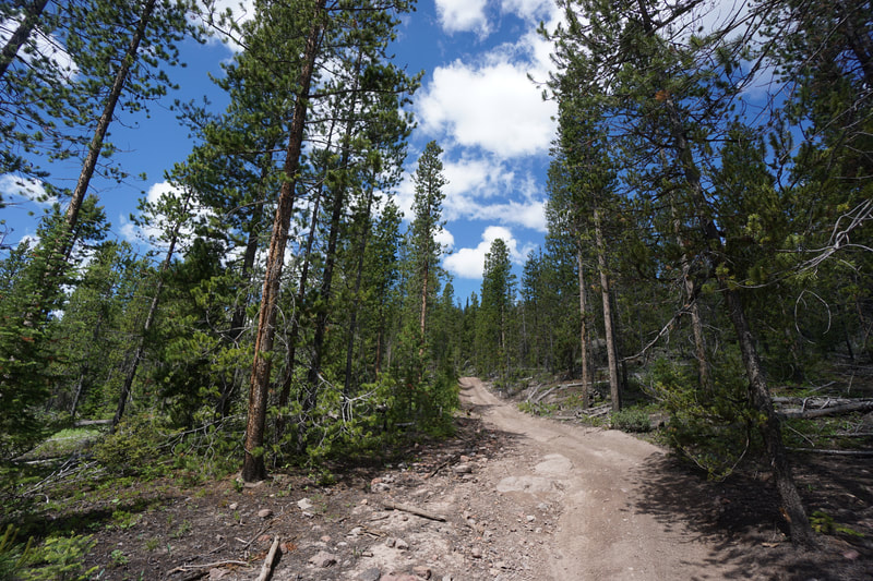
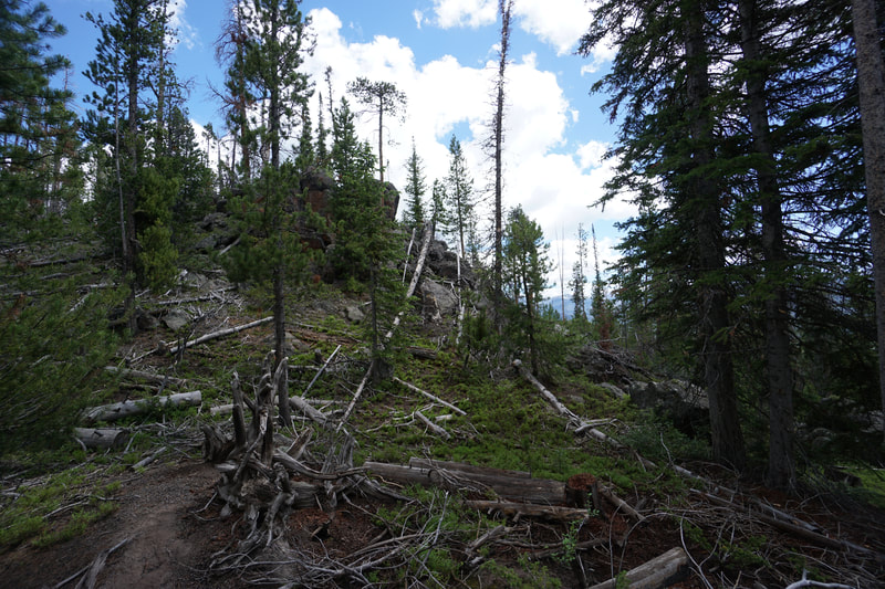
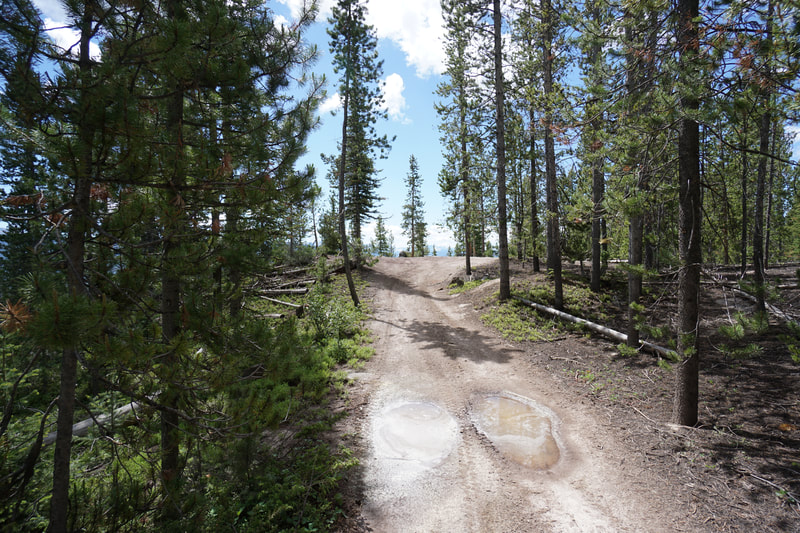
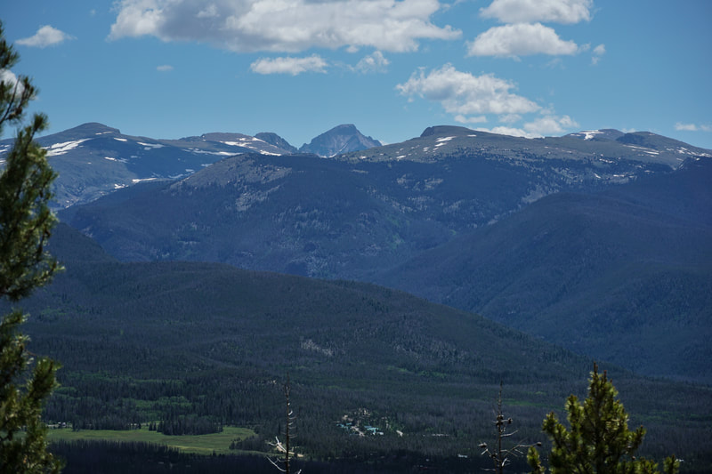
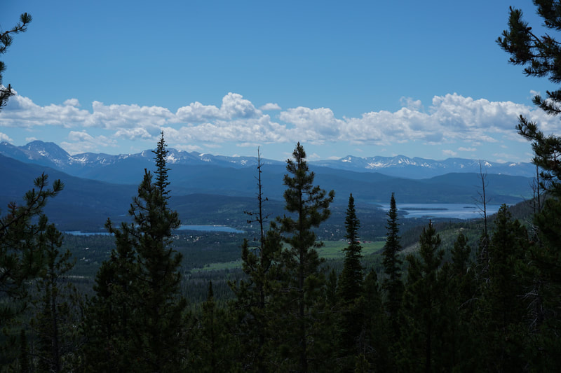
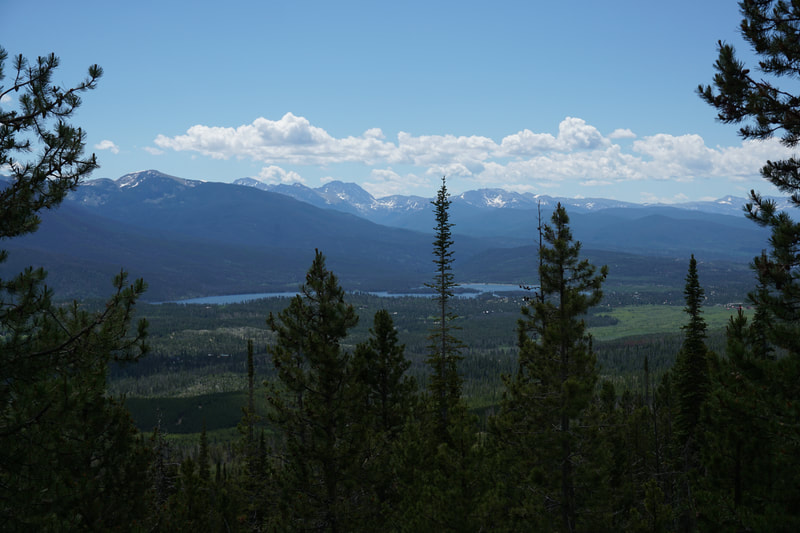
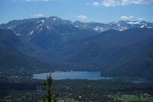
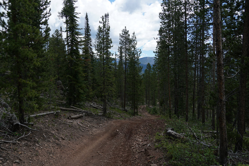
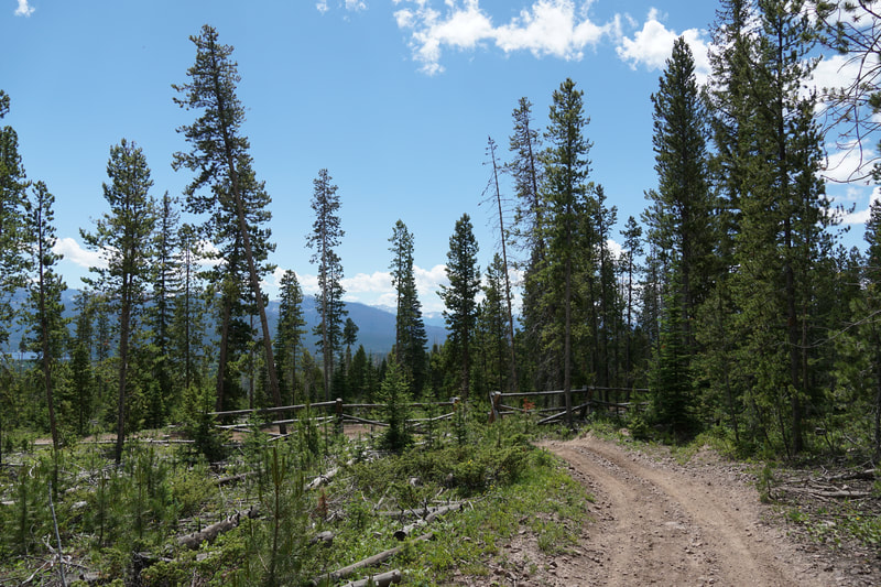
The trailhead is located on Forest Service Road 820 about 260 ft from Forest Service Road 120. Road 120 is a good dirt road and doesn't require more than an SUV in good weather. You might want to park on 120 and walk up 820 to the trailhead. The trail itself is a narrow road that climbs steadily up through the forest. There is not much to see on the way up so its the kind of hike that you just put your head down and climb the 500 feet up the trail. At the .7 mile mark you'll come to a rock tower and the trail will flatten out as you approach the overlook. The view is stunning and you'll understand why it is worth the effort. The view looks out across the valley with the peaks of Rocky Mountain National Park towering over the lakes. Longs Peak is visible directly to the east and Mt. Craig standing at the head of the East Inlet Valley is a sight to see. There is a picnic table at the overlook to help you relax and soak in the views. It's a wonderful spot and well worth a visit if you are exploring the Bowen Gulch area west of Grand Lake. |
- HOME
- ABOUT
-
HIKES BY REGION
-
NATIONAL PARK HIKES
- BENT'S OLD FORT NATIONAL HISTORIC SITE
- BLACK CANYON OF THE GUNNISON NATIONAL PARK
- COLORADO NATIONAL MONUMENT
- CURECANTI NATIONAL RECREATION AREA
- DINOSAUR NATIONAL MONUMENT
- FLORISSANT FOSSIL BEDS NATIONAL MONUMENT
- MESA VERDE NATIONAL PARK
- ROCKY MOUNTAIN NATIONAL PARK
- GREAT SAND DUNES NATIONAL PARK
- HOVENWEEP NATIONAL MONUMENT
- SAND CREEK MASSACRE NATIONAL HISTORIC SITE
- YUCCA HOUSE NATIONAL MONUMENT
- HIKES BY CATEGORY
- NEWS
- WEBCAMS
- $UPPORT GHC
- INTERACTIVE MAP
Eagles Perch Trail
Arapaho National Forest
Date Hiked: June 27, 2020
Distance: 1.5 mi (RT)
Elevation Gain: 530 ft
Elevation Min/Max: 9,219 to 9,645 ft
Trailhead Lat/Long: 40.26770, -105.88813
Managing Agency: U.S. Forest Service
Fee: None

