|
Directions: From Grand Junction, head south on Hwy 50 to Delta. From Delta continue south on 50 and turn left (east) on Falcon Road. Falcon Road will lead into the Conservation Area on good dirt road. When you enter the Peach Valley Recreation Area, continue east and north on the dirt road to the Eagle Valley Trailhead.
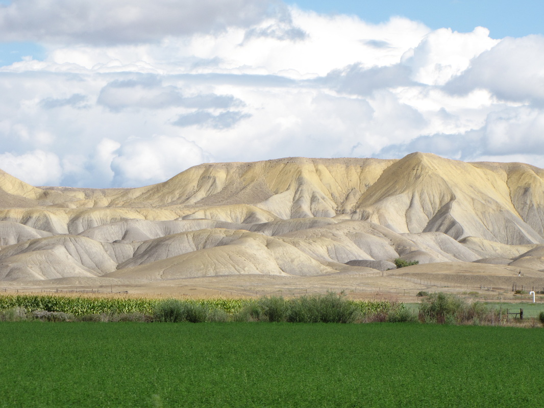
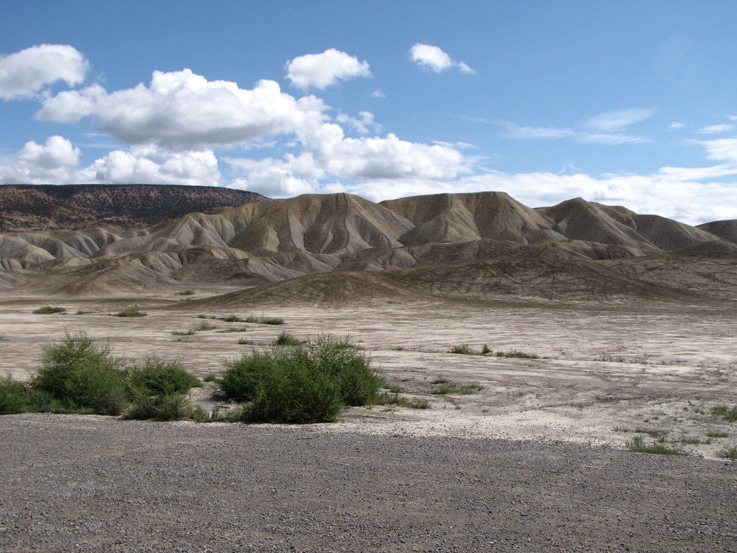
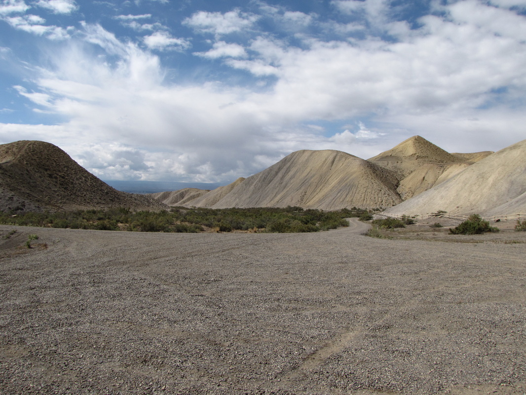
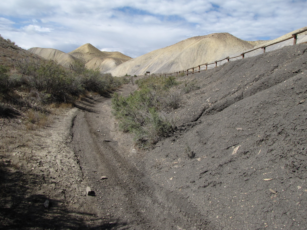
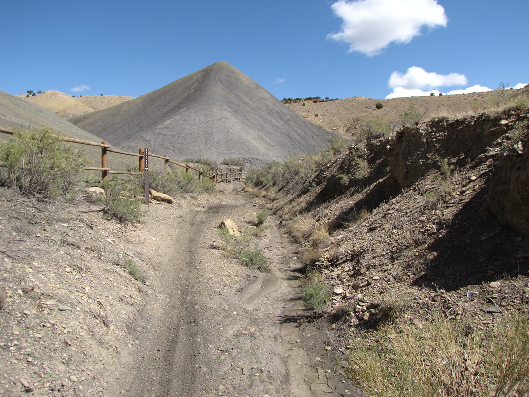
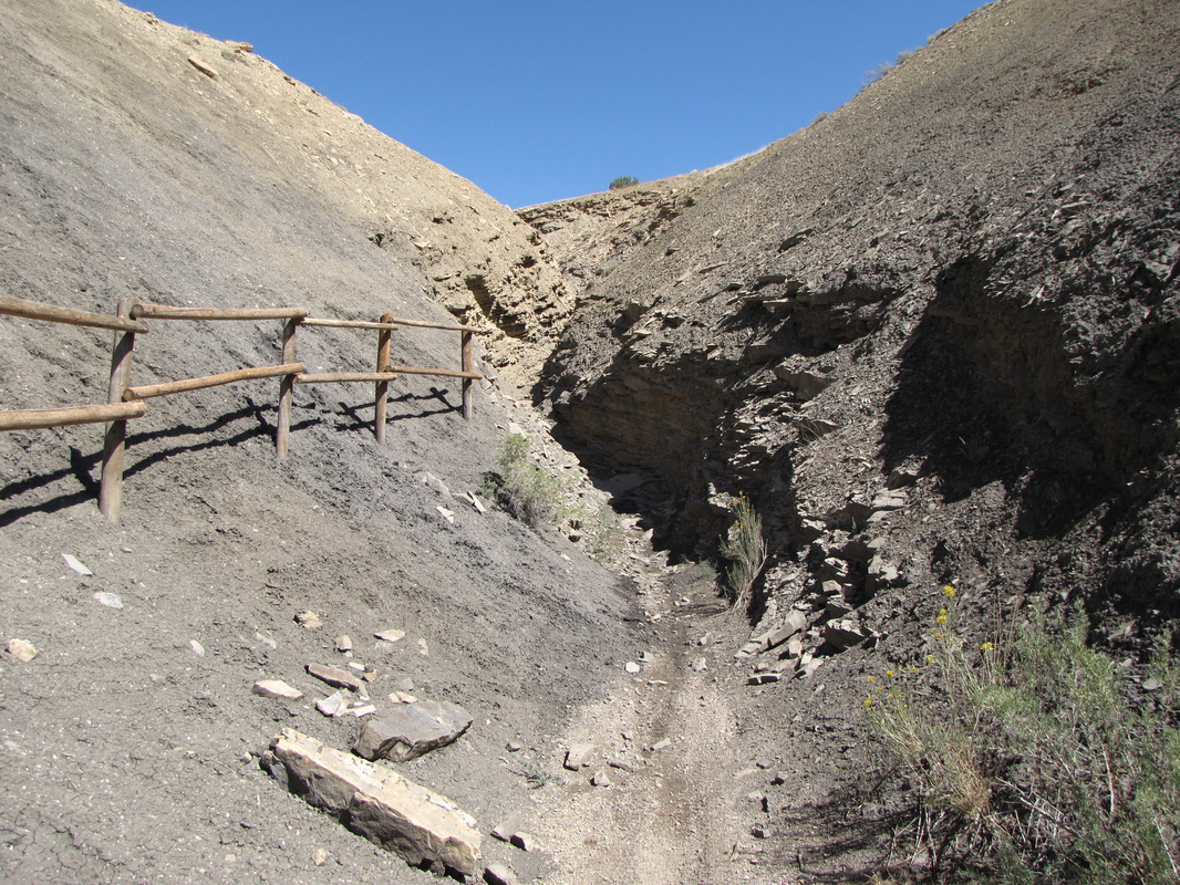
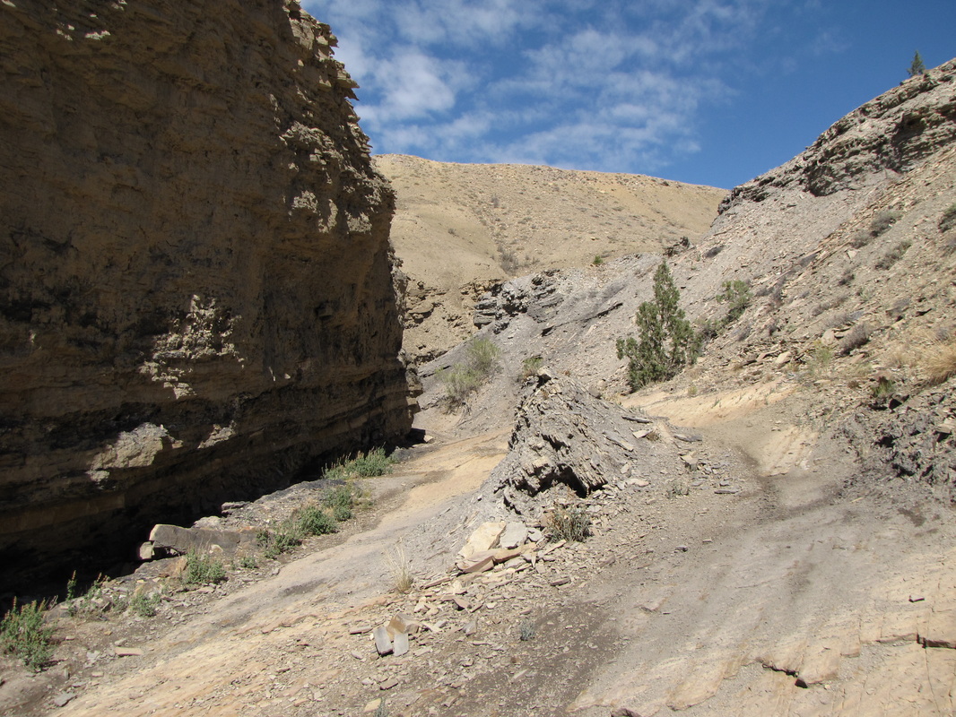
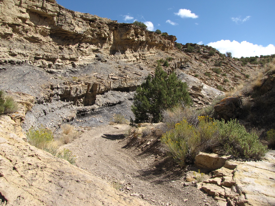
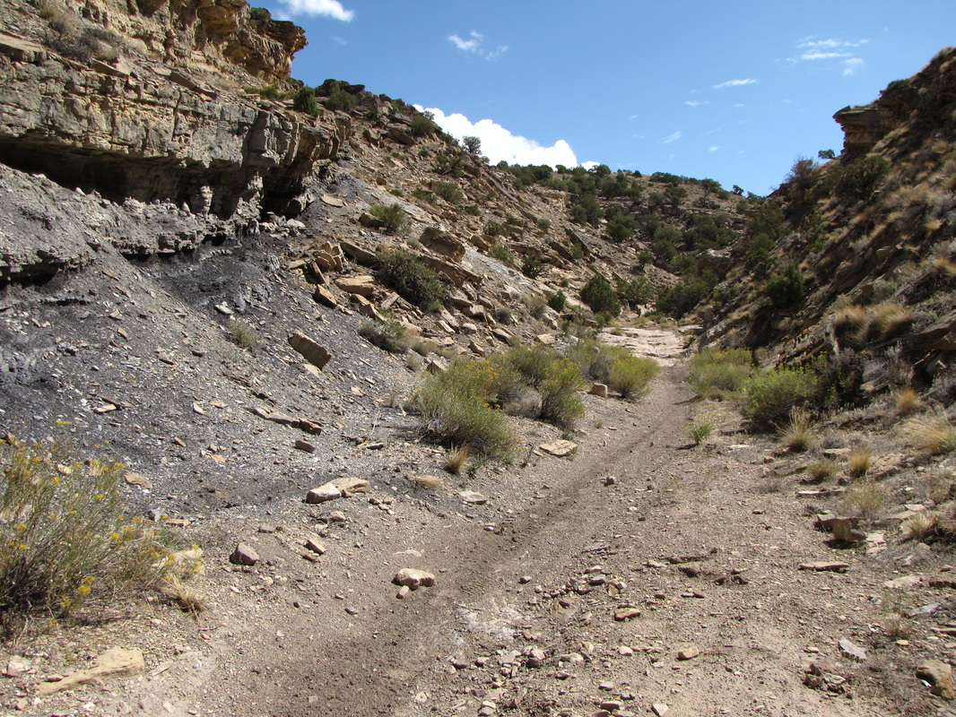
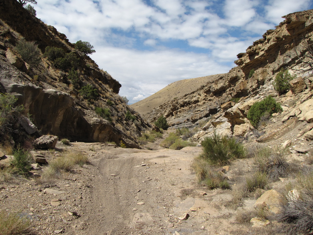
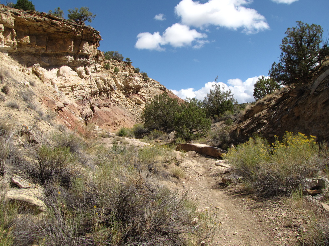
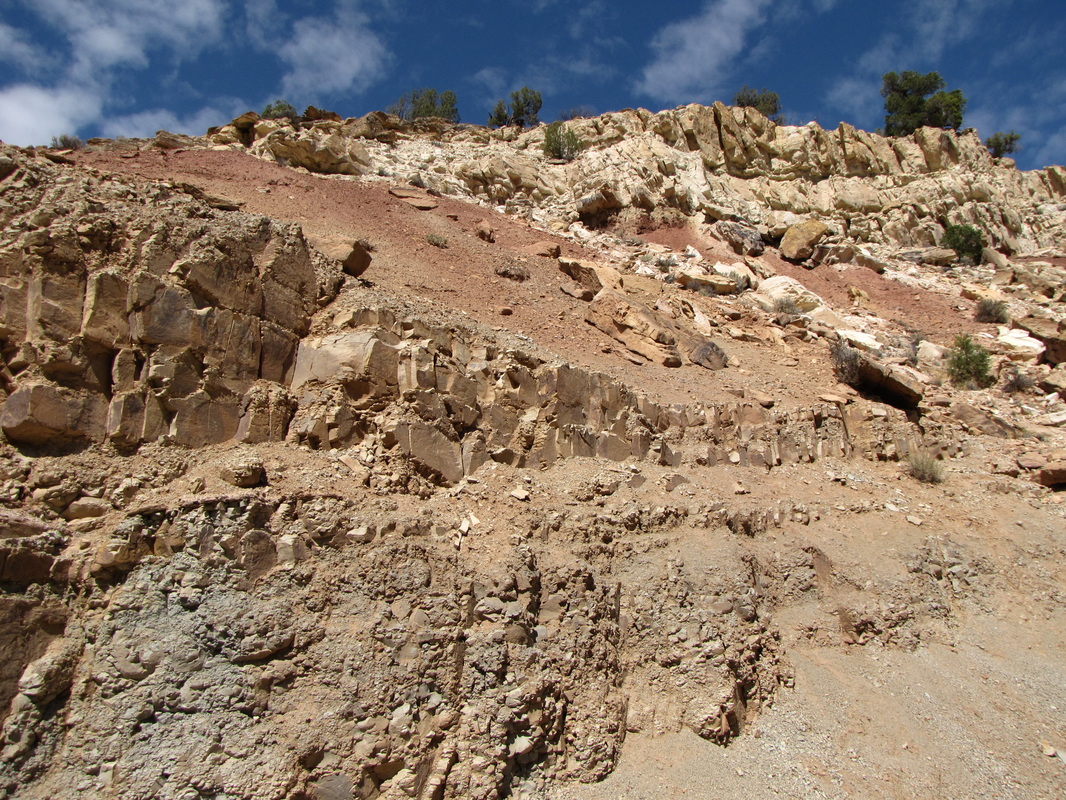
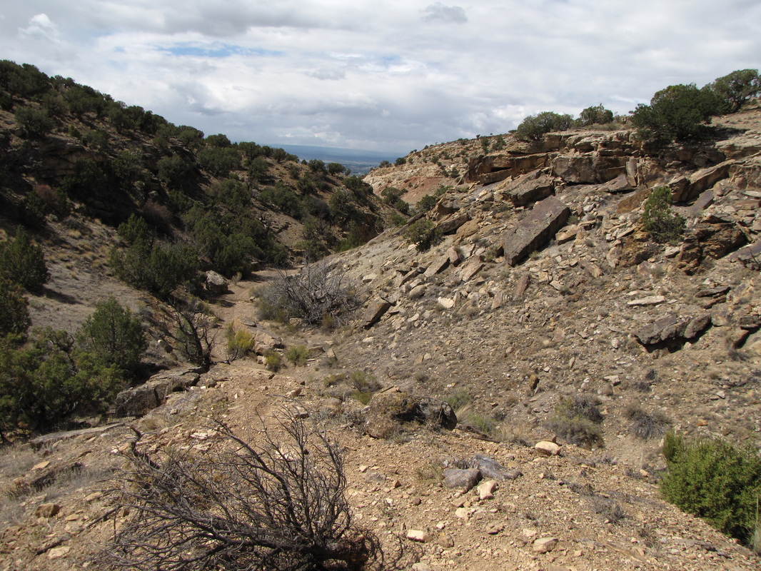
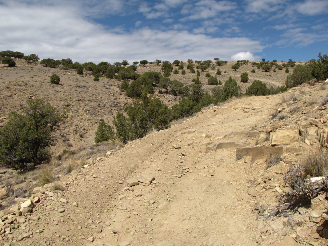
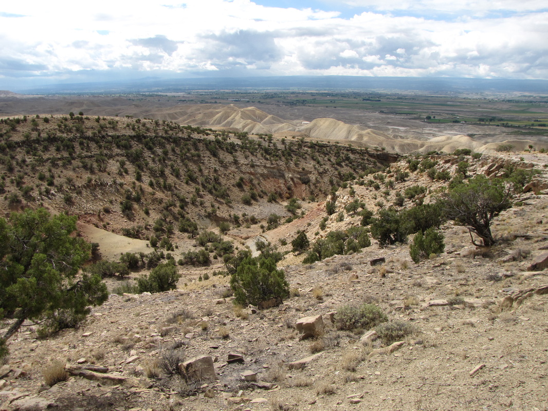
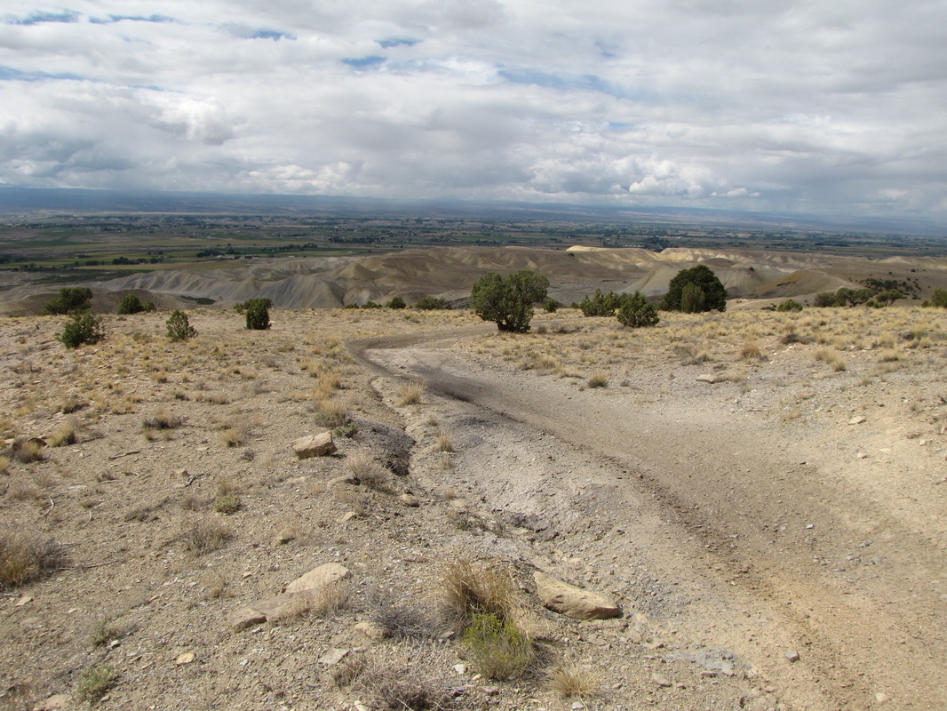
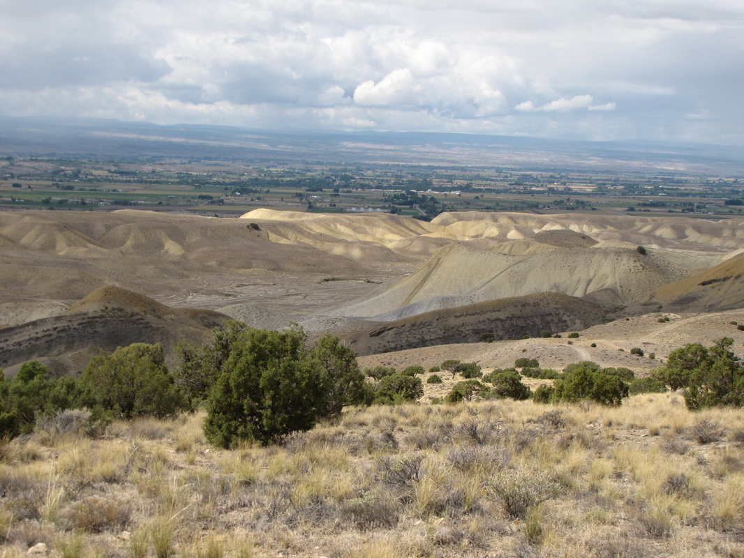
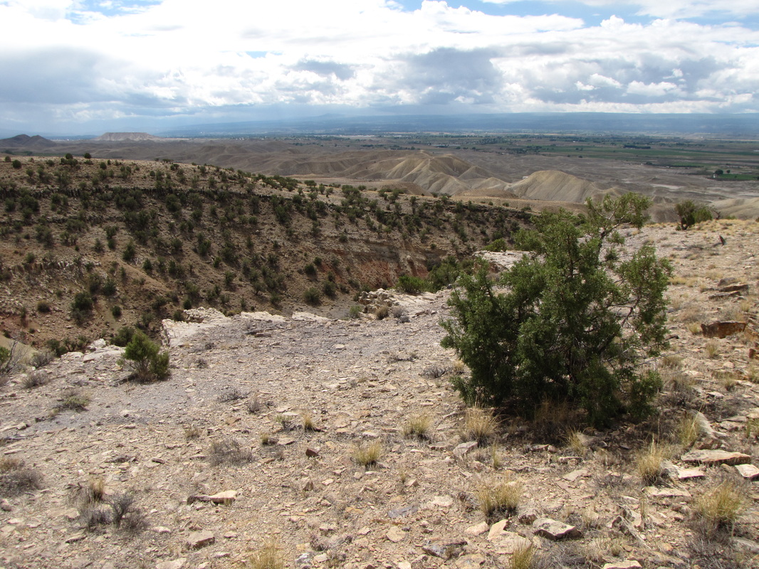
The Eagle Valley Trail leads through a dry rock desert canyon...very narrow at spots. The trail starts in black sand dirt and transitions to the typical Colorado Plateau red rock and sandstone formations. After about 1.5 miles the trail gains the ridgeline and hooks up with the Sidewinder Trail. From here you have many options but for a short hike with a good payoff turn left and follow the Sidewinder Trail to the opposite side of the canyon where there is a great view of the Colorado Plateau to the west. You can connect to longer trails or simply head back through the canyon to your car. |
|
- HOME
- ABOUT
-
HIKES BY REGION
-
NATIONAL PARK HIKES
- BENT'S OLD FORT NATIONAL HISTORIC SITE
- BLACK CANYON OF THE GUNNISON NATIONAL PARK
- COLORADO NATIONAL MONUMENT
- CURECANTI NATIONAL RECREATION AREA
- DINOSAUR NATIONAL MONUMENT
- FLORISSANT FOSSIL BEDS NATIONAL MONUMENT
- MESA VERDE NATIONAL PARK
- ROCKY MOUNTAIN NATIONAL PARK
- GREAT SAND DUNES NATIONAL PARK
- HOVENWEEP NATIONAL MONUMENT
- SAND CREEK MASSACRE NATIONAL HISTORIC SITE
- YUCCA HOUSE NATIONAL MONUMENT
- HIKES BY CATEGORY
- NEWS
- WEBCAMS
- $UPPORT GHC
- INTERACTIVE MAP
Eagle Valley Trail
Gunnison Gorge National Conservation Area
Date Hiked: September 16, 2011