DIRECTIONS: From the fork in the road at the edge of the town of Lyons, turn left and head west for 11 miles on CO Highway 7. At the 11 mile mark, turn right onto Spruce Road which becomes Conifer Hill Road. This is a narrow dirt road that winds through a residential area. There are some potholes and rutting so a high clearance vehicle is recommended. Avoid private property and driveways and stay on the main road for 1.6 miles. Final access to the trailhead is marked by a "Trail" sign. The last 0.25 miles of road is very rough and a high clearance SUV or 4WD vehicle is required.
|
The Dry Saint Vrain Trail is a great short, steep, and sweet hike that not too many people know about. The trail follows a small creek down a forested gulch to a narrow spot along the North Saint Vrain Creek.
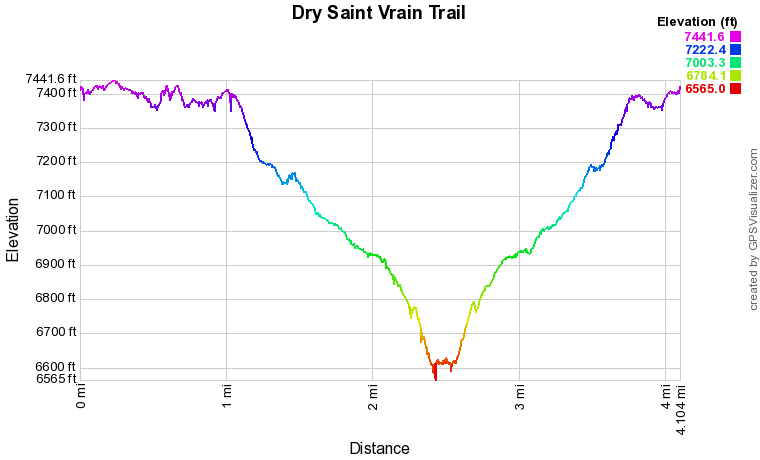
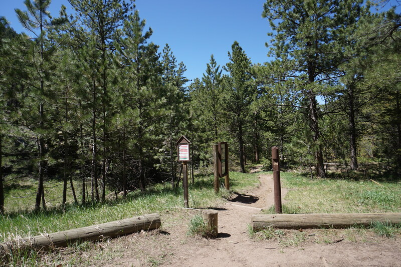
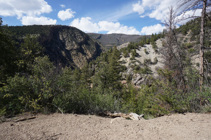
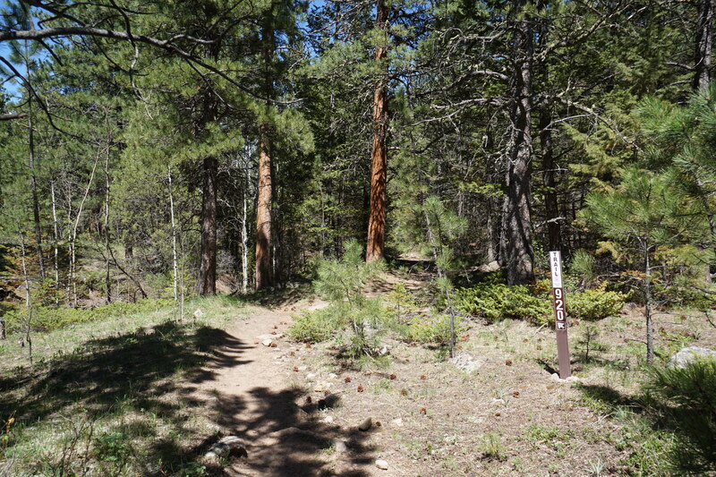
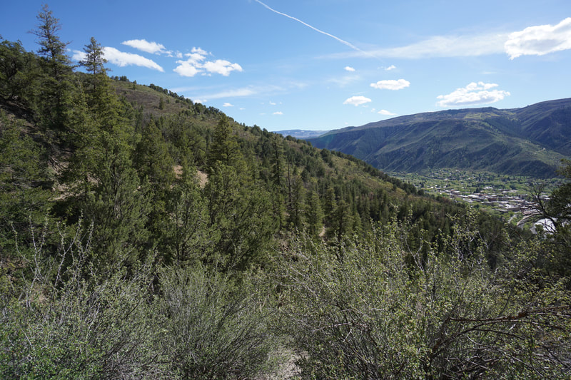
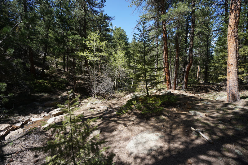
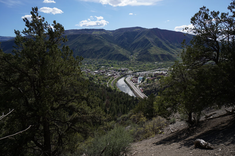
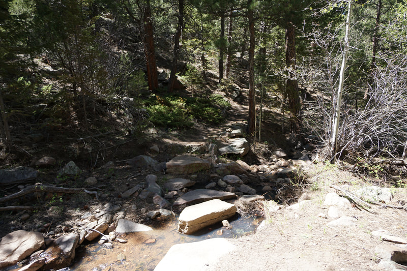
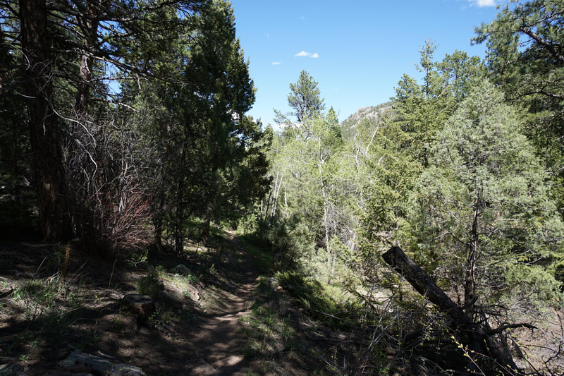
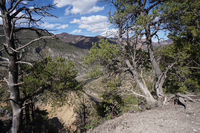
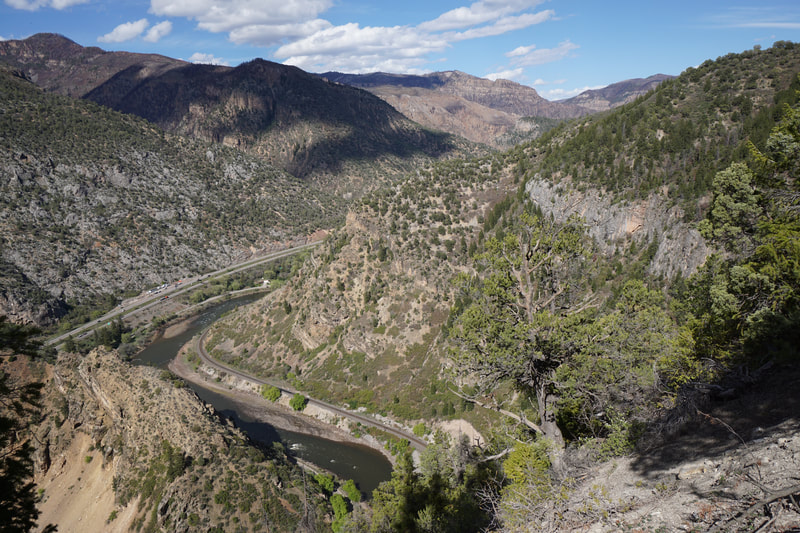
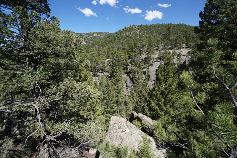
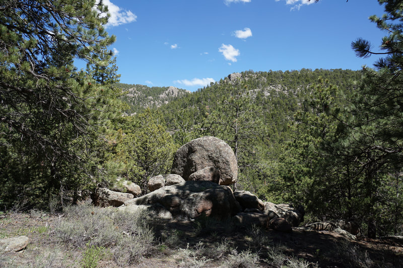
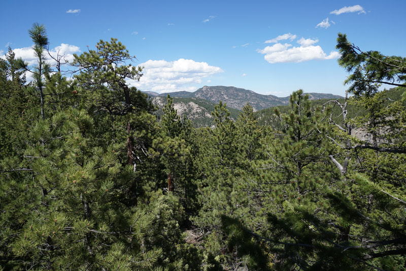
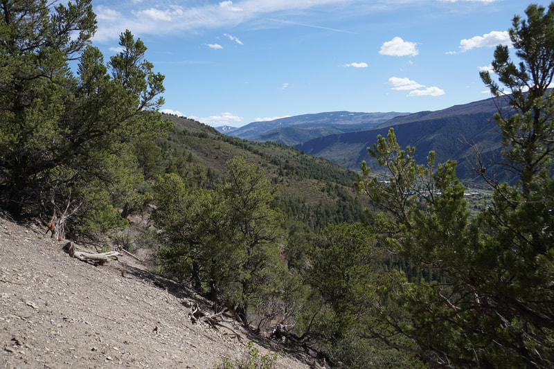
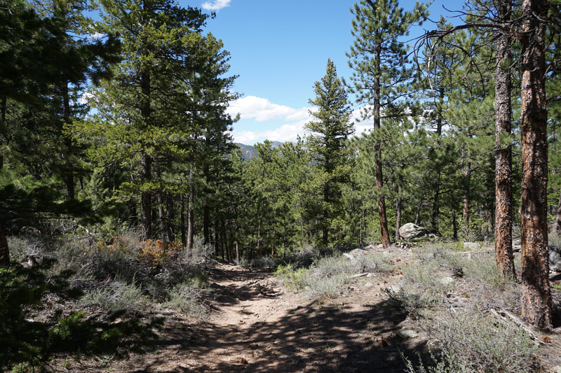
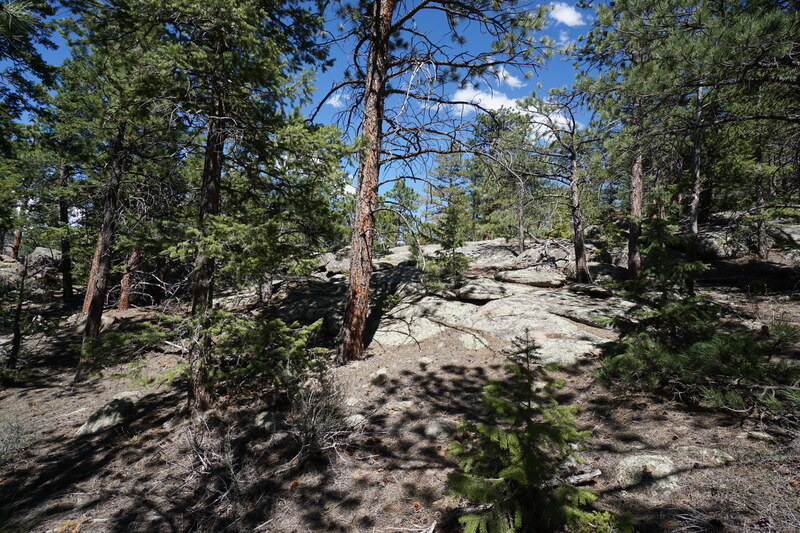
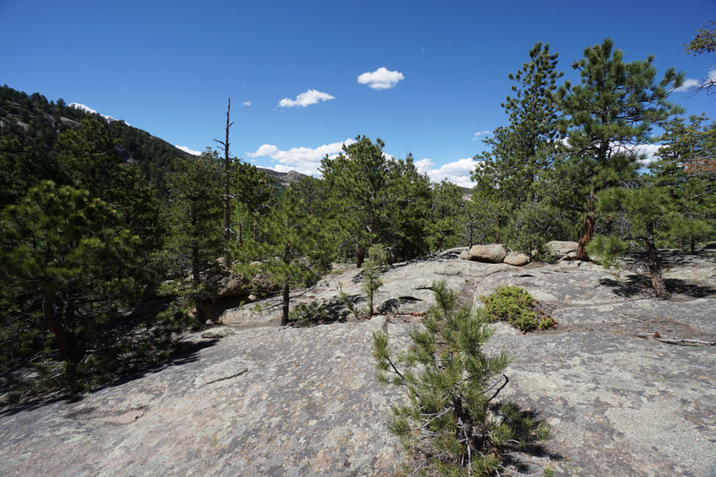
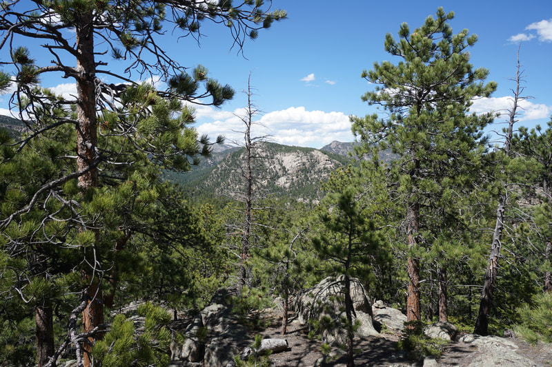
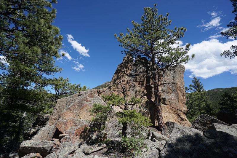
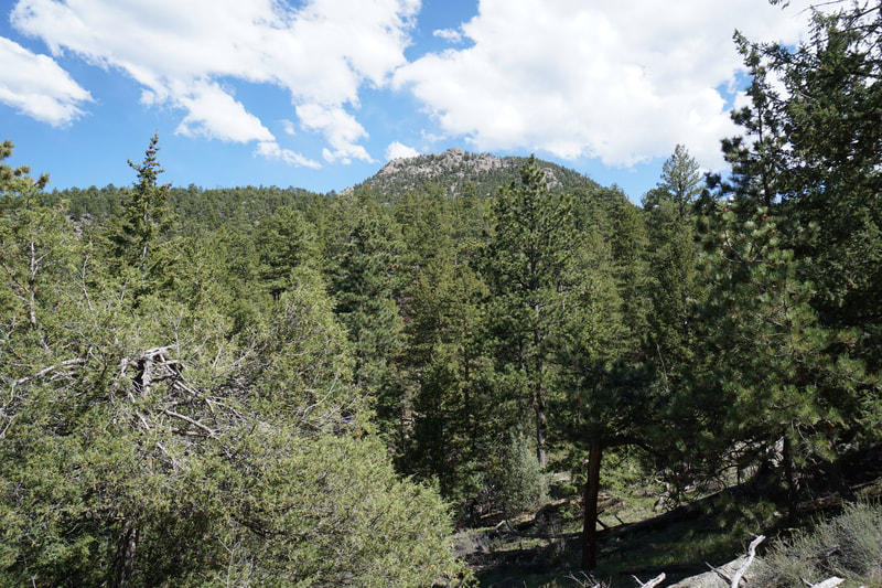
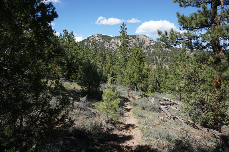
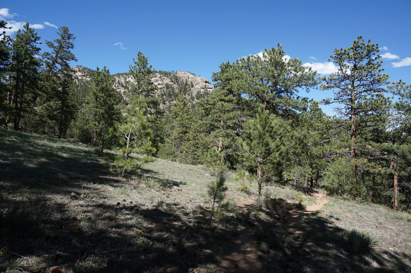
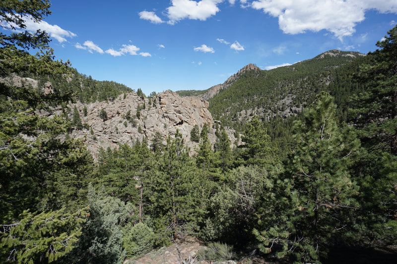
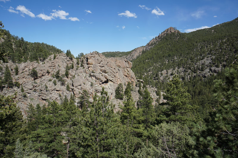
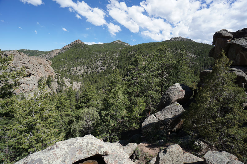
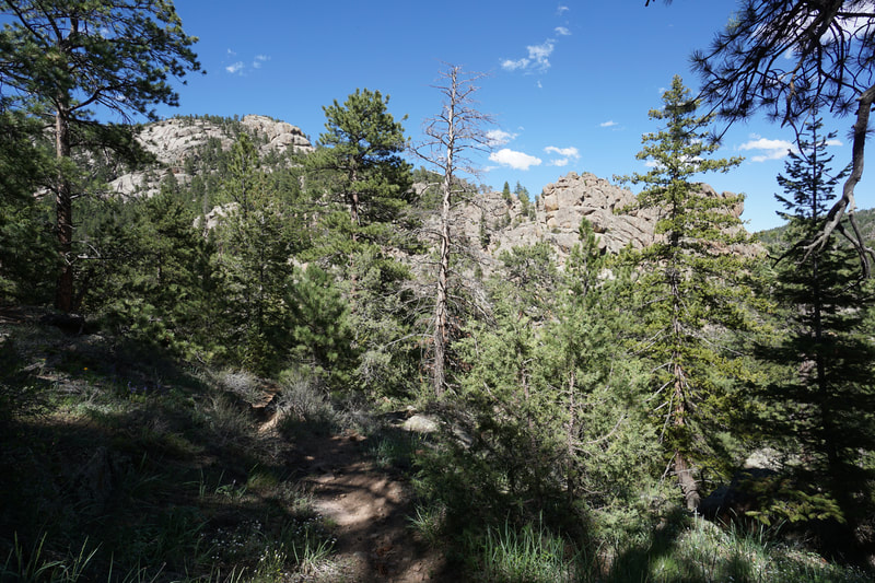
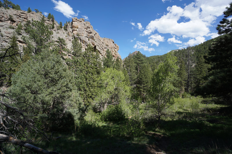
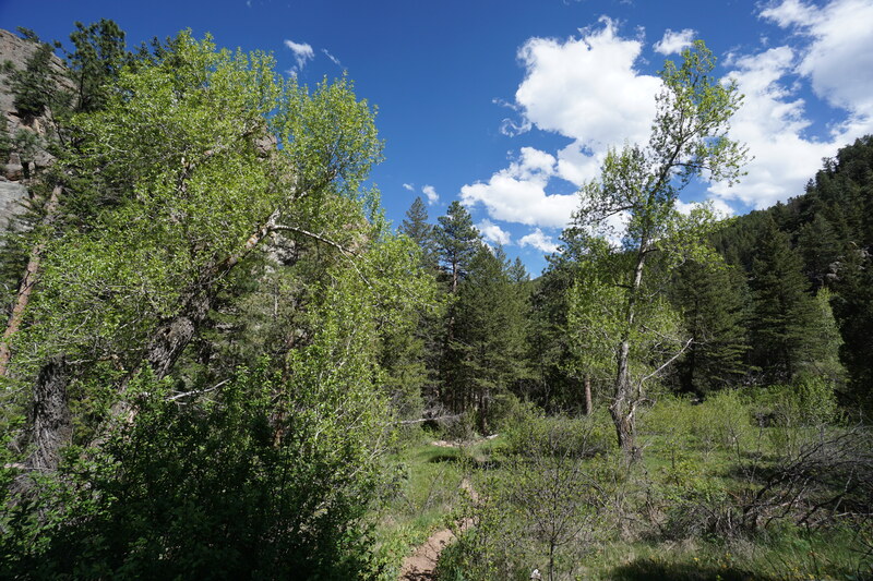
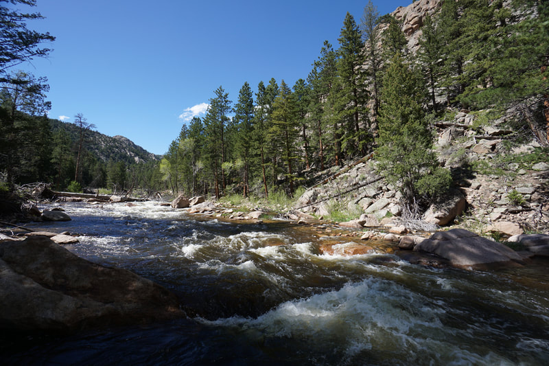
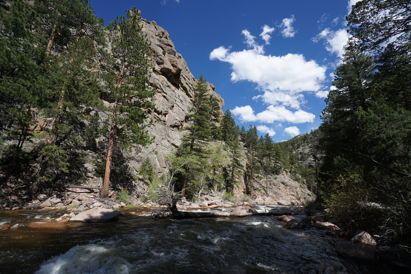
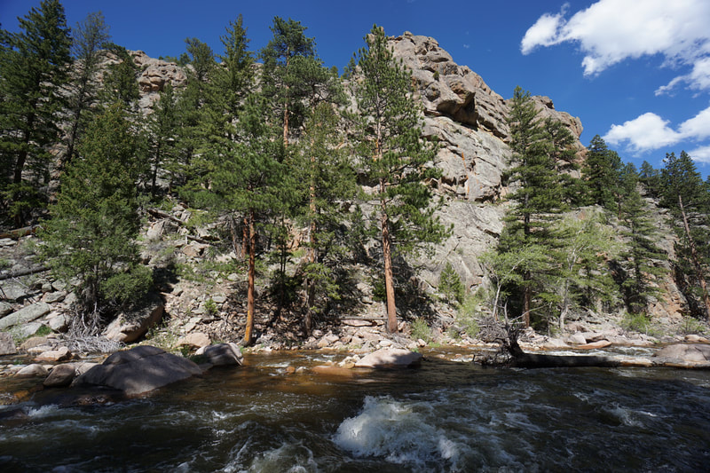
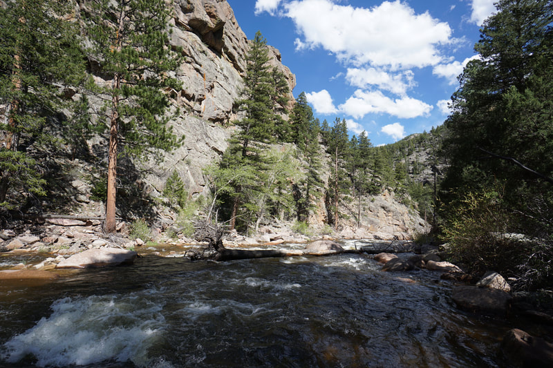
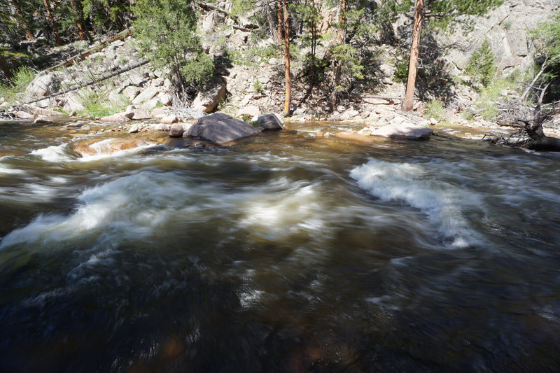
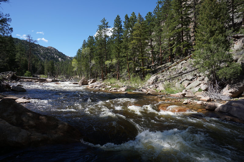
From the trailhead you immediately have a choice to make, I made the wrong one... The trail to the left crosses the creek and follows a clear trail uphill through the forest. (I will return to follow this trail and see where it leads). For the correct trail, turn right at the fork to follow Trail 920, there is a trail sign. Shortly after this junction, there is another choice to make...I again made the wrong choice... The proper trail crosses the small creek and heads along the western side of the creek. The trail that continues straight climbs uphill steeply to an interesting rock outcropping with nice views (worth the short diversion). Crossing the creek and following the trail, you are now on the right path and shouldn't have any further navigation problems. The trail climbs uphill for a little ways and then descends steadily through the forest. As you hike, there are many rock outcroppings that are just begging to be climbed and explored. The views from the these outcroppings are generally good but obscured by trees, still worth the effort. As you descend the forrest becomes thicker with more vegetation. Before long you'll reach the start of the steep descent down to North Saint Vrain Creek. Before you start the descent, there is a wonderful overlook looking down on the North Saint Vrain and the rock canyon below. There are great views of the surrounding terrain including rocky peaks and slick rock formations. Follow the trail down steeply and it will lead you right down to the creek. The creek is a rushing torrent of water in the spring, the rapids and cascades are quite impressive as are the towering walls of rock. There are number of good places to relax near the creek and the area surrounding the creek is verdant with aspens and wildflowers...idyllic. Don't forget however that when hiking, what goes down, must go up... The climb back up to the trailhead is steep in spots, but not too bad. That being said, you have about 800 ft to gain on the return so save some energy. Enjoy the solitude on this hidden gem of a hike. |

