|
|
|
Directions: From Fraser, head north on Hwy 40 and make a quick right (east) on County Road 8. Take this to County Road 81 and head north for 2 miles to Forest Road128.2C and make a right (east) to the Trailhead.
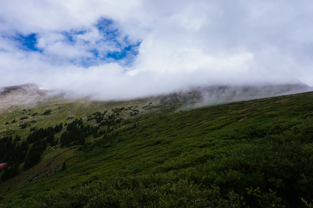
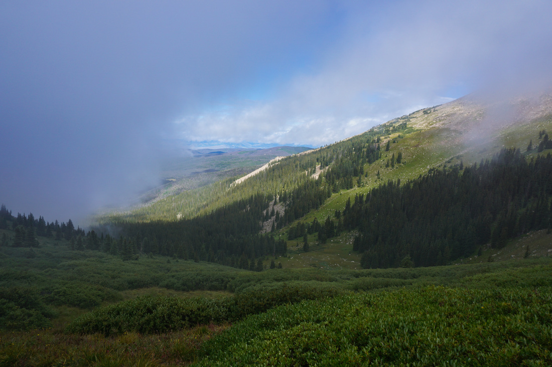
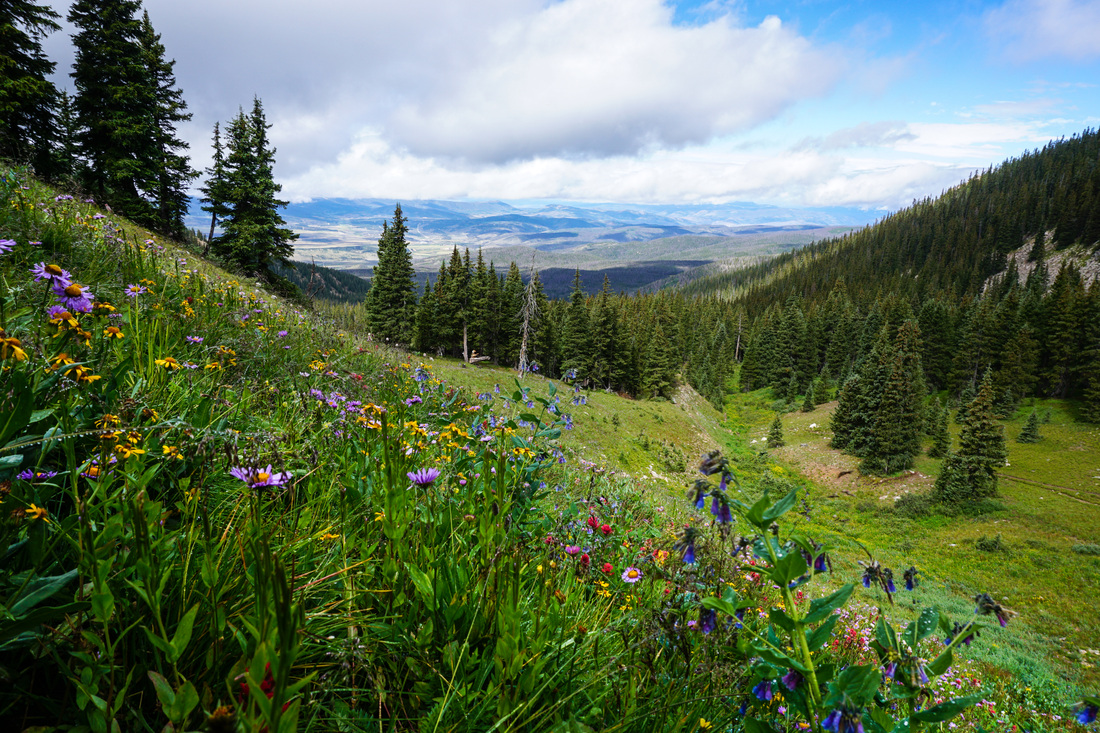
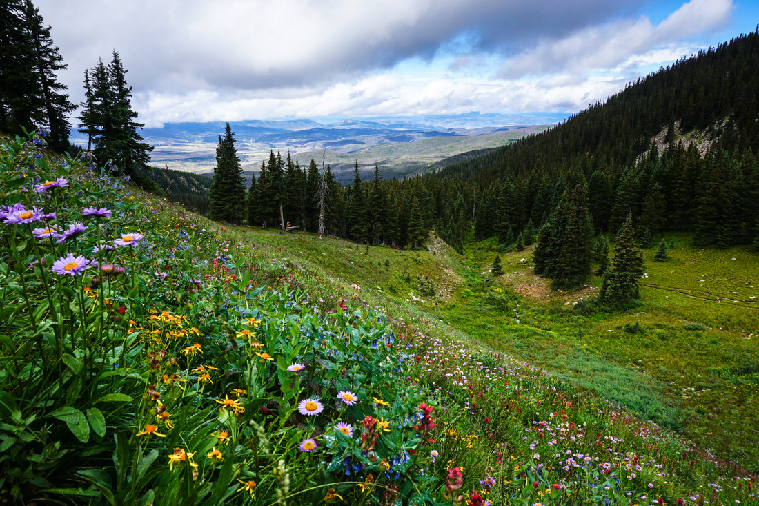
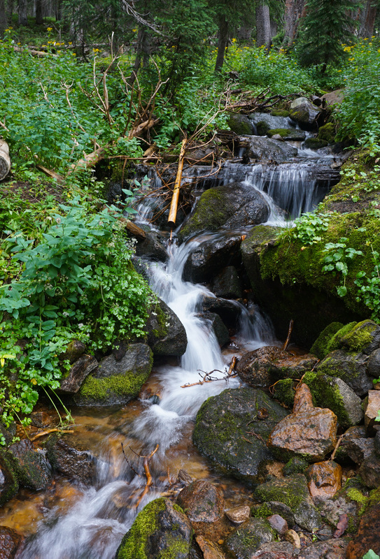
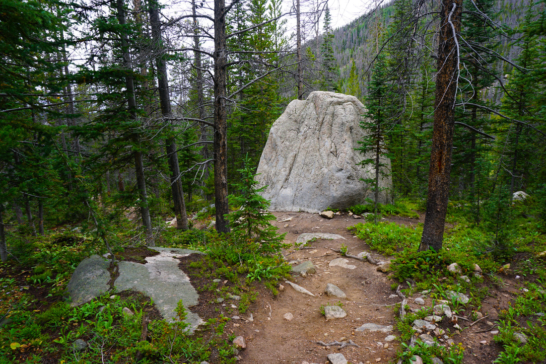
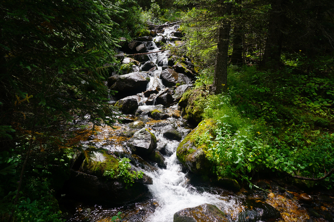
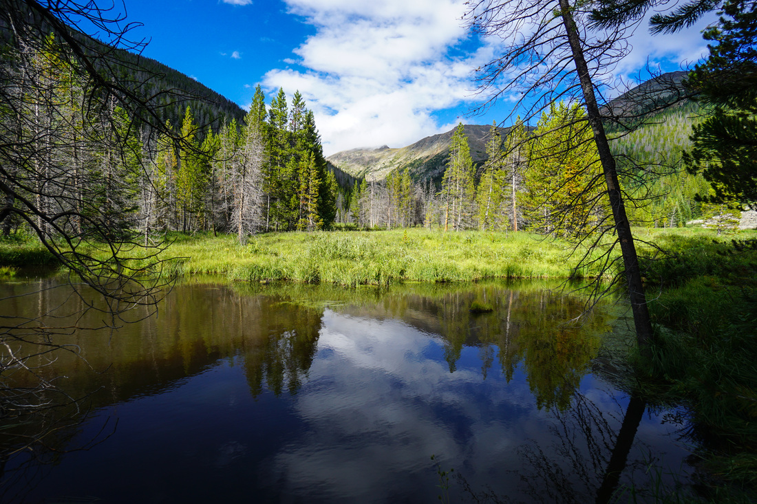
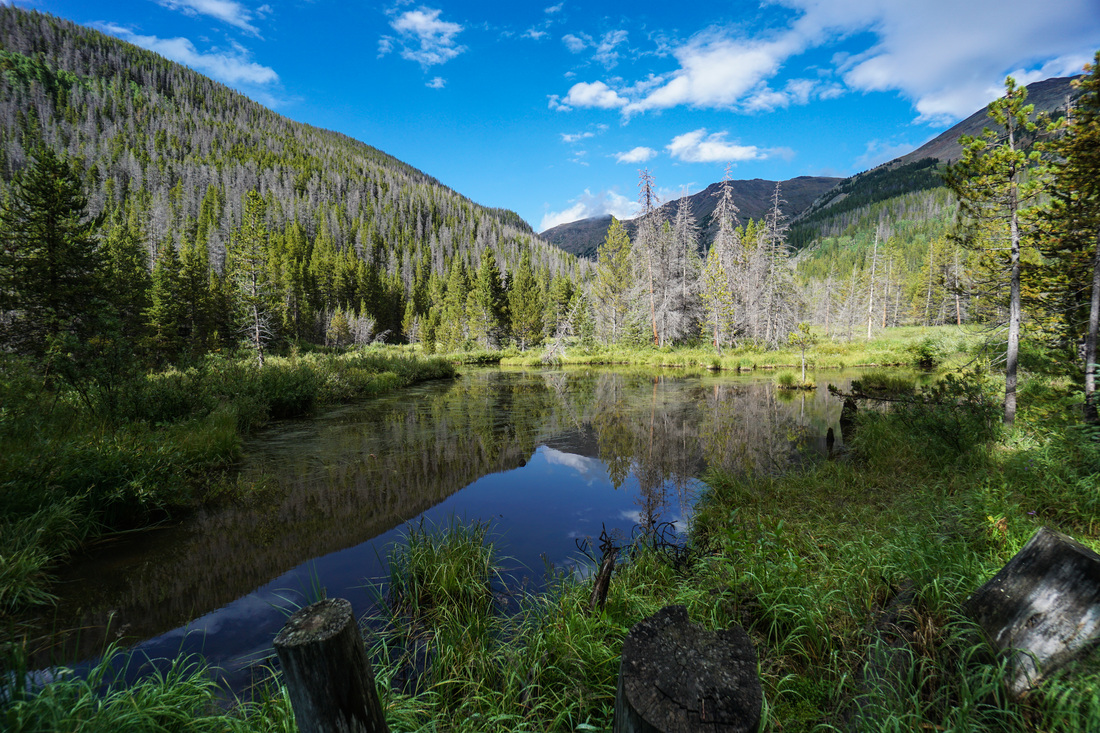
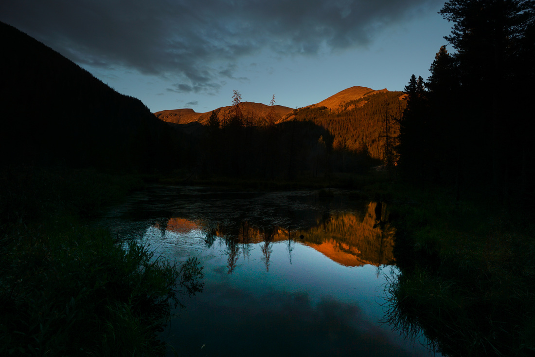
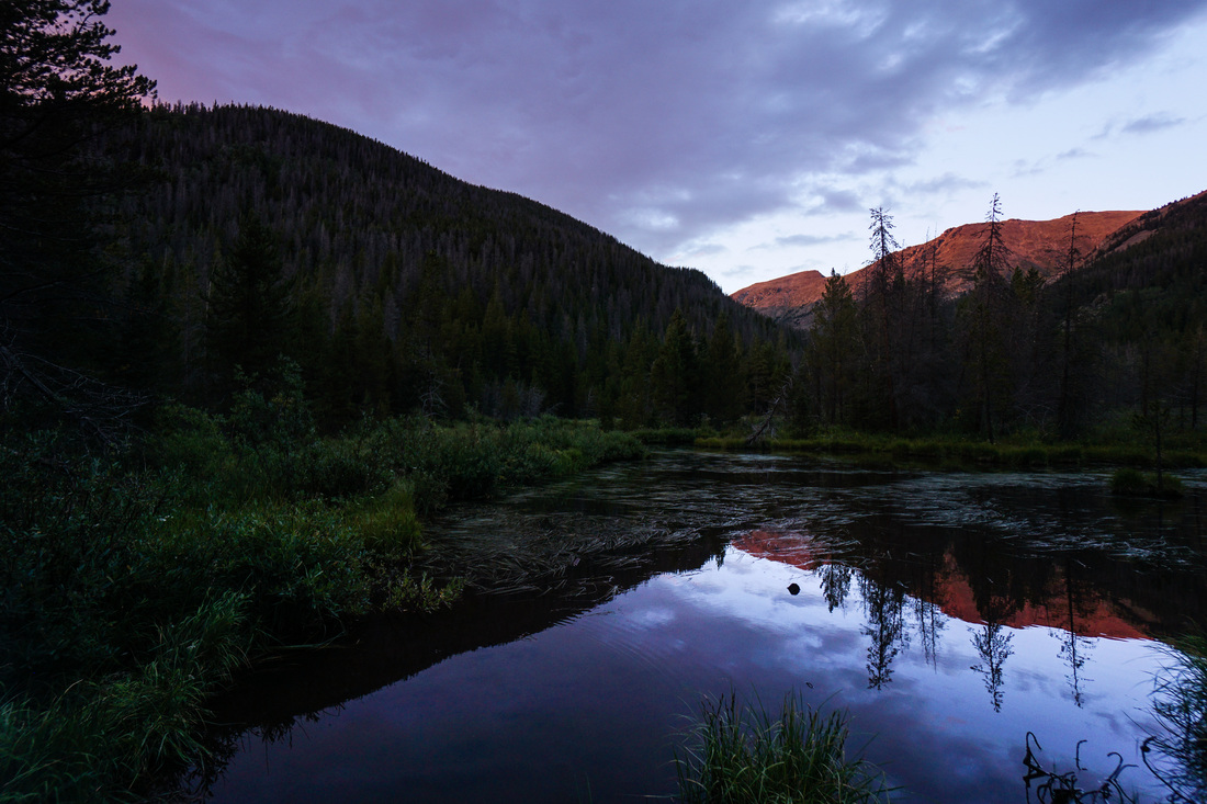
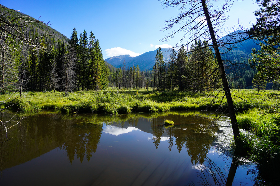
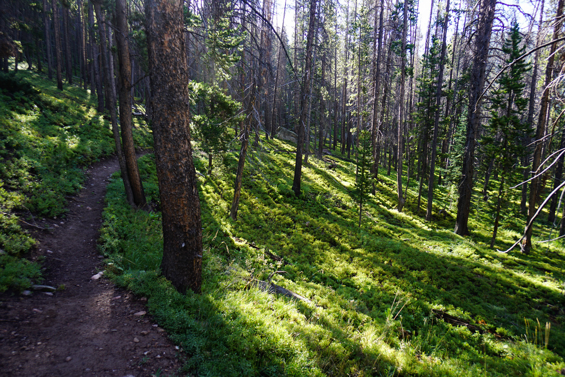
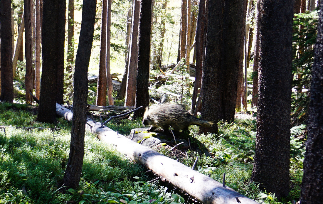
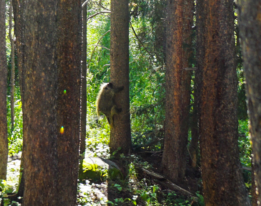
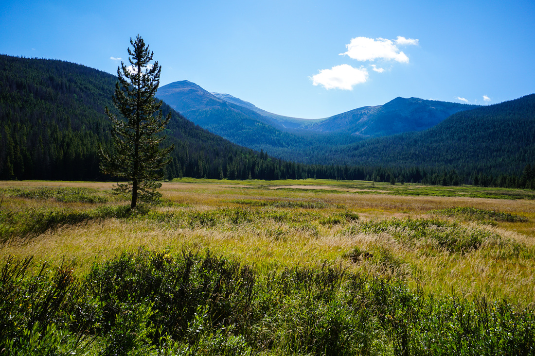
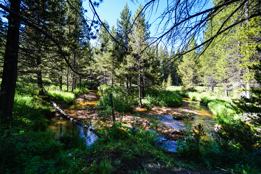
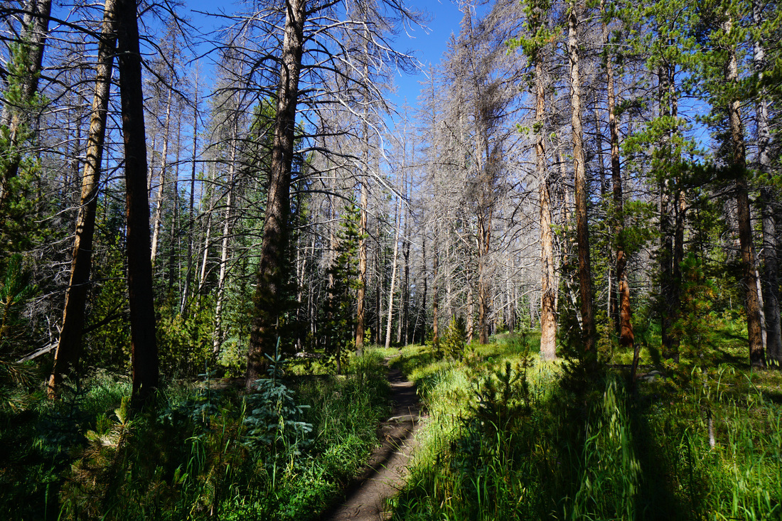
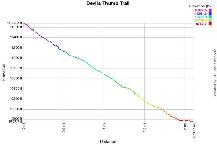
This trail is steep...beautiful...but steep... The 1st 1.5 miles or so is not so bad, it starts as a wonderfully pleasant hike through towering pine and aspen forest. Every now and then the forest will open up to creeks, clearings, and large areas of marshland, terrific moose habitat. As the trail gets steeper large glacial boulders will starts to mark the landscape. Keep an eye out for a wonderful pond to your left with views of Mt. Neva, Mt. Jasper, and Devil's Thumb Pass. I camped here during a long backpacking trip and the sunrise/sunsets at this pond were phenomenal! Shortly after the pond you'll enter into the James Peak Protection Area and as you climb along a cascading creek to the north, you'll soon find yourself in the Indian Peaks Wilderness. The trail gets steeper from here, use the tree roots as steps and keep going. When the trees start to get a little sparser you enter a steep valley and your destination will present itself. You can see the Devil's Thumb and the ridge of the Continental Divide. You'll know you're close when you start to make your way through shoulder high scrub, break through and traverse the tundra until you reach the pass. Unfortunately, this is where my knowledge of this trail ends. When we hiked here, the visibility was about 20 feet on the divide. I've heard that the views down into the Devil's Thumb Lake basin is worth all the effort. The hike may be difficult but it is rewarding, even when the mountains choose to hide out in the clouds... I hiked this trail in reverse, as it was part of a 3 day backpacking trip where we came down from the Divide at Devil's Thumb Pass. The photos in the gallery are therefore in reverse order as well. |
|