|
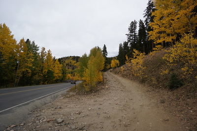
Directions: From Idaho Springs turn north on 103 and follow it up towards Mt. Evans. Just after the Ponder Point Picnic Area pull of the road to the left and park. The dirt road heads uphill from here.
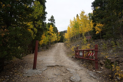
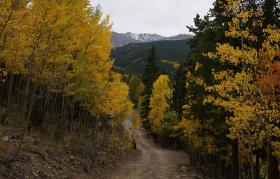
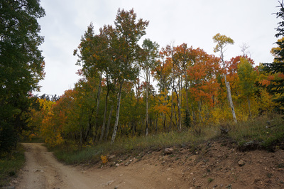
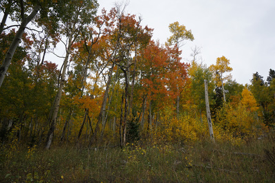
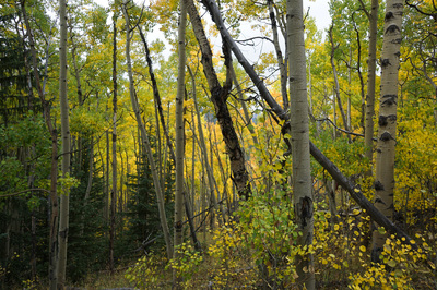
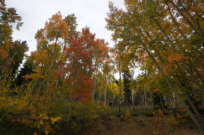
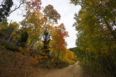
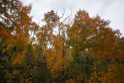
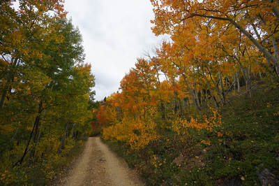
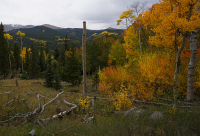
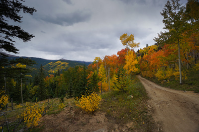
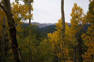
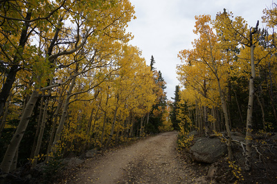
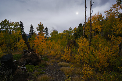
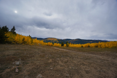
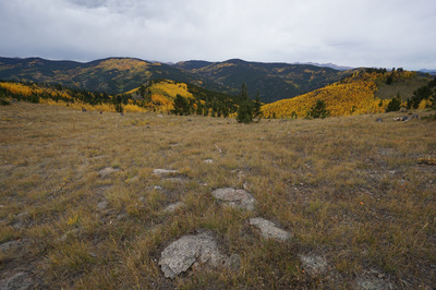
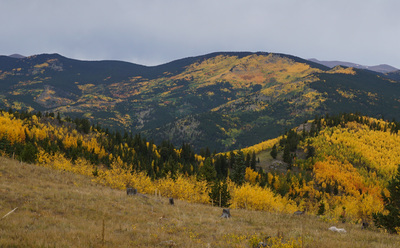
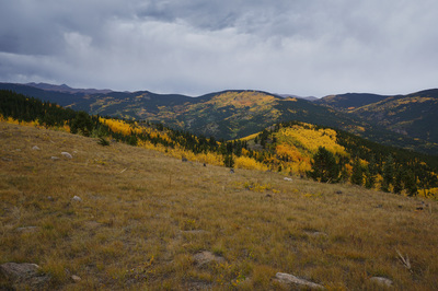
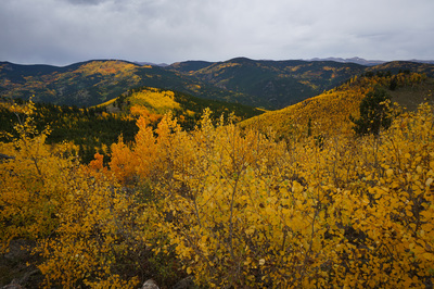
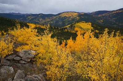
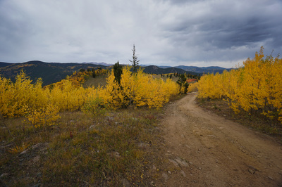
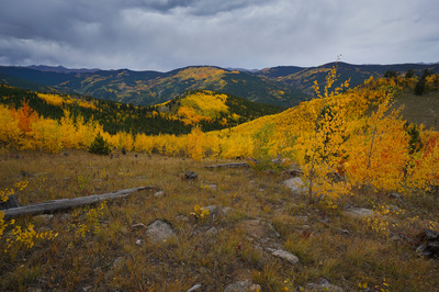
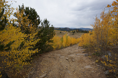
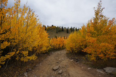
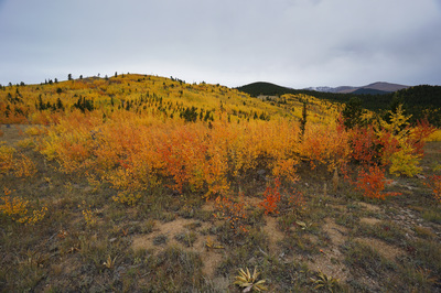
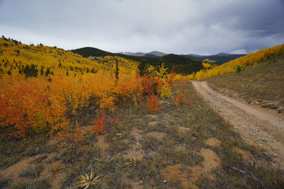
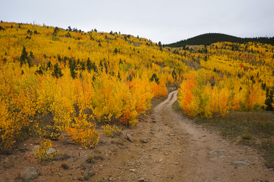
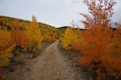
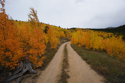
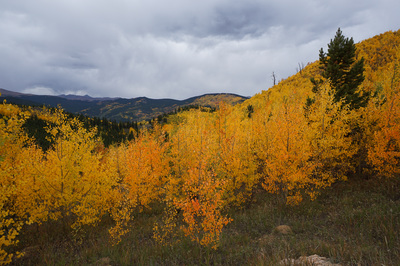
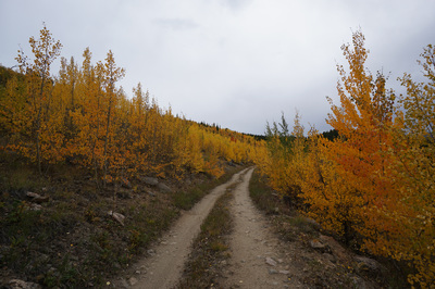
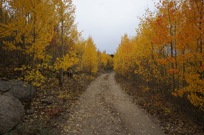
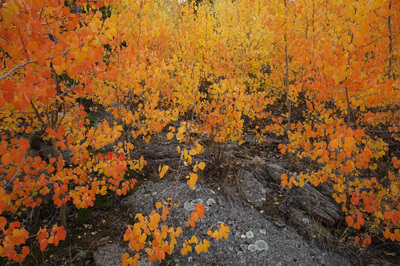
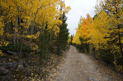
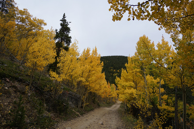
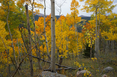
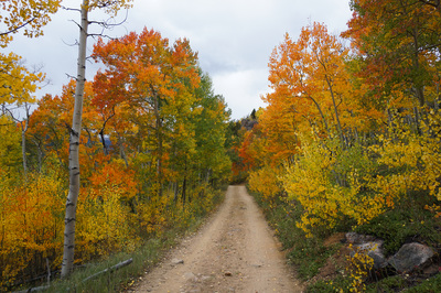
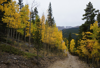
Devils Canyon Road is a wonderful hike, when the timing is right. The road is mainly used by off road vehicles to access the campsites and ORV trails near Mt. Evans. However, in the fall when the Aspens are blazing and if you get there when there is little ORV traffic, then the hike is superb.
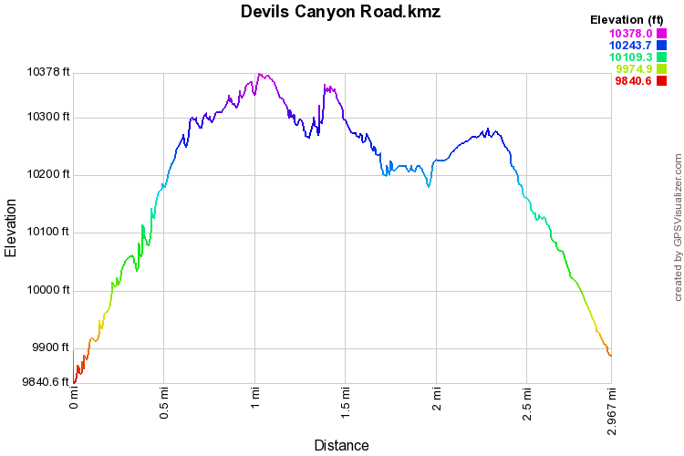
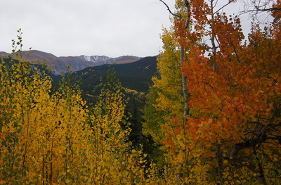
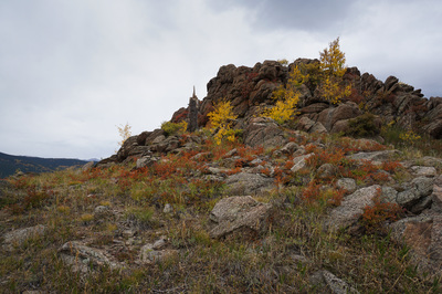
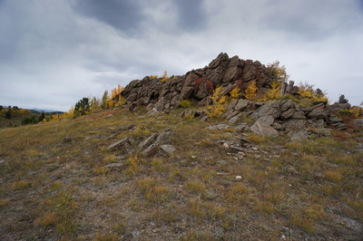
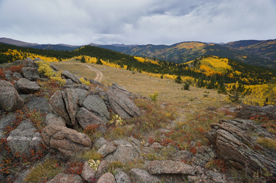
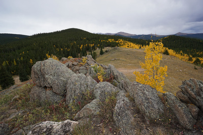
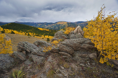
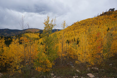
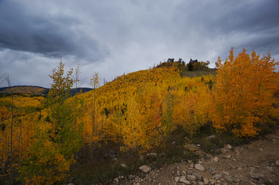
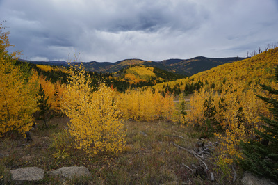
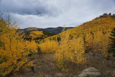
The road is rocky and narrow so it feels more like a hike rather than a walk along a dirt road and there are many options for hikes, this description being the shortest loop. You can also link up with the Devils Canyon Trail and the Barbor Forks Trail for longer hikes. That being said, the views and the fall colors are the real reasons to do this hike. Almost the entire road is flanked by aspen trees. The top campground area is a recovering burn area which means that there are lots of young aspen trees and good views of the surrounding mountains and hills. When the aspen are in peak, this hike is hard to beat. Many, many people drive the route from Idaho Springs to Echo Lake and down to Evergreen but this is a spot where you just might be able to get away from the crowds and enjoy the amazing aspens in peace. The road starts by climbing roughly 500 ft up gentle switchbacks. Once you top out, you have many options. Take a map with you and explore to your heart's content. The best views are from the westernmost roads and there is a rock outcropping in the center that is easy to scramble up and provides the best views. The main road is Forest Service Road 246.1. A good rule of thumb is to follow 246.1 past the first turn off for 246.1A, take the 2nd turnoff for 246.1A and then stick to it until you see the sign for the loop. The loop adds about 3 miles to this hike (for a total of 6 miles) but you can bypass the loop by staying to the left and heading back towards 246.1. By the way, 246.1B dead ends after about a mile so probably best to stick with 246.1A until it returns to 246.1. It sounds confusing but it really isn't. Aside from the Barbor Forks trail, all roads loop back to the same place. When the timing is right, this can be a truly beautiful hike, but be warned; if there is lots of ORV traffic and if people are hunting or engaging in target practice (also allowed here) then you may have a less enjoyable time. However, there are few views of this area in the fall that compare, so give it a chance. |
- HOME
- ABOUT
-
HIKES BY REGION
-
NATIONAL PARK HIKES
- BENT'S OLD FORT NATIONAL HISTORIC SITE
- BLACK CANYON OF THE GUNNISON NATIONAL PARK
- COLORADO NATIONAL MONUMENT
- CURECANTI NATIONAL RECREATION AREA
- DINOSAUR NATIONAL MONUMENT
- FLORISSANT FOSSIL BEDS NATIONAL MONUMENT
- MESA VERDE NATIONAL PARK
- ROCKY MOUNTAIN NATIONAL PARK
- GREAT SAND DUNES NATIONAL PARK
- HOVENWEEP NATIONAL MONUMENT
- SAND CREEK MASSACRE NATIONAL HISTORIC SITE
- YUCCA HOUSE NATIONAL MONUMENT
- HIKES BY CATEGORY
- NEWS
- WEBCAMS
- $UPPORT GHC
- INTERACTIVE MAP
Devils Canyon Road
(FS Road 246.1 & 246.1A loop)
Arapaho National Forest
Date Hiked: September 20, 2016
Distance: 3 mi (RT)
Elevation Gain 696 ft
Elevation Min/Max: 9,841 to 10,378 ft
Trailhead Lat/Long:39º 40' 51" N; 105º 36' 18" W
Managing Agency: U.S. Forest Service
Fee: None

