|
|
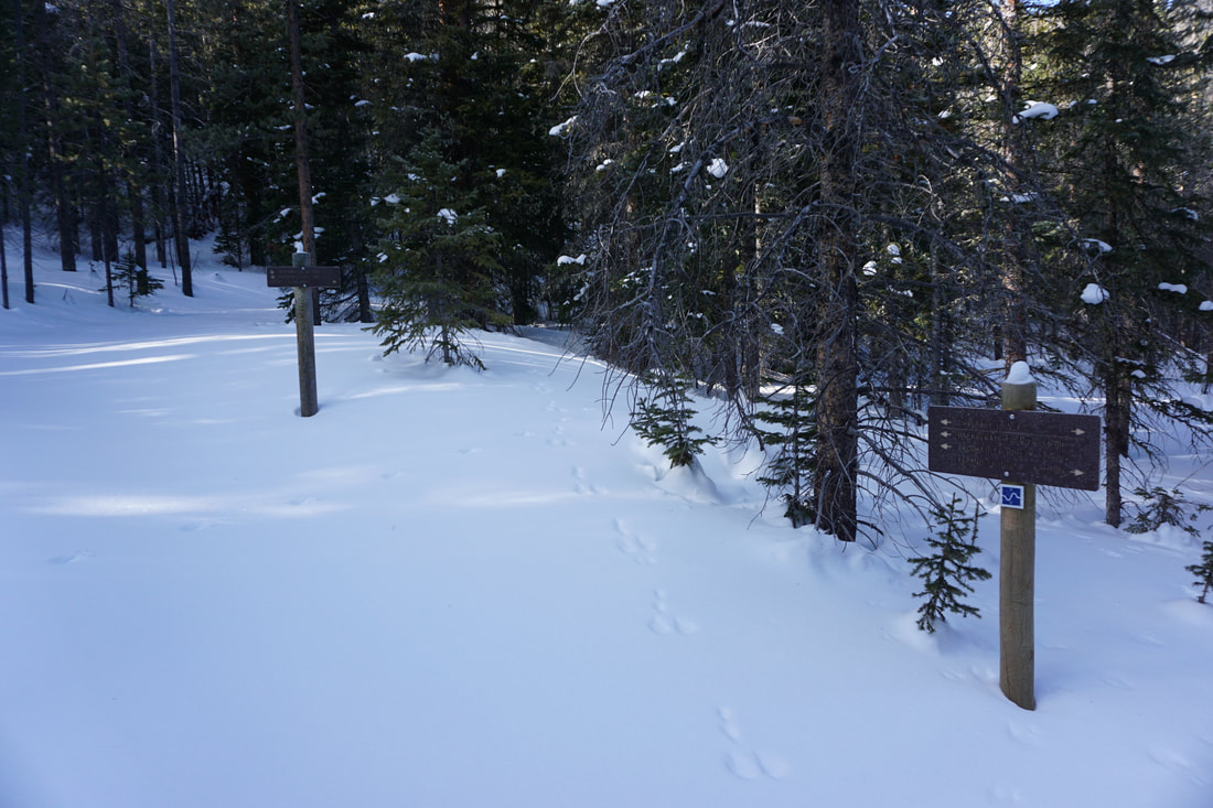
DIRECTIONS: From US 40 in Fraser, turn left (west) on Fraser Valley Parkway and follow the signs to St. Louis Creek Trailhead. Turn left on 73, a good dirt road, plowed in the winter, and follow it 1.6 miles to the Lower Cascade Trailhead. Continue straight on 73 for .6 miles to the turnoff for the St. Louis Creek Campground and Trailhead. Again, continue straight on 73 for 1.9 miles to the Leland Creek Trailhead. Park in the large parking area on the east side of the road. The Tipperary Creek Trailhead is opposite the parking area on the west side of 73.
|
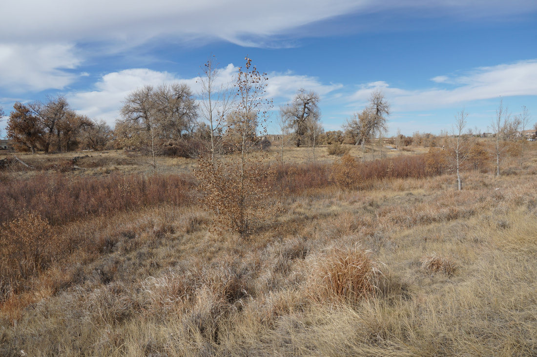
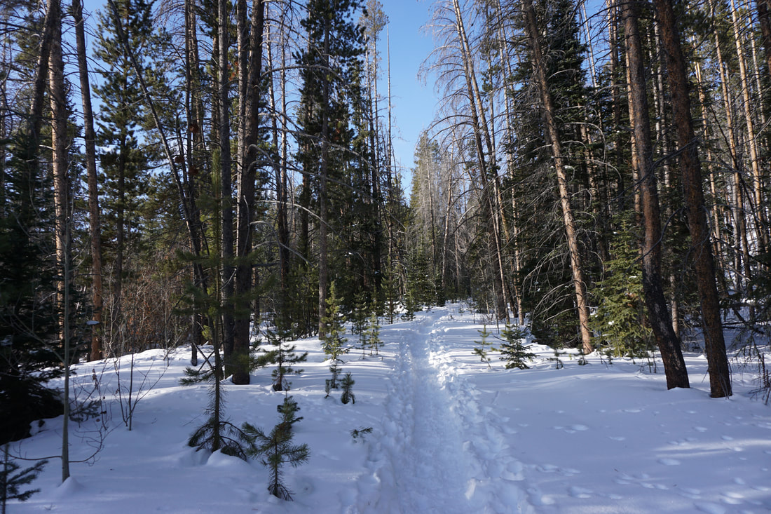
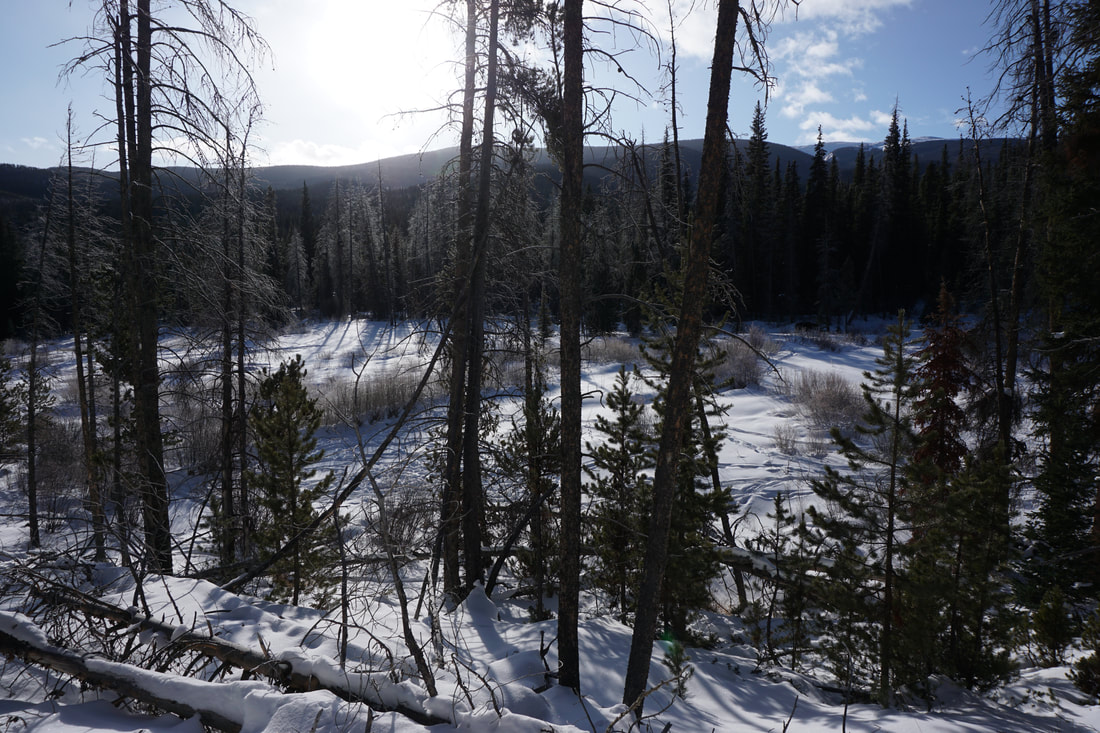
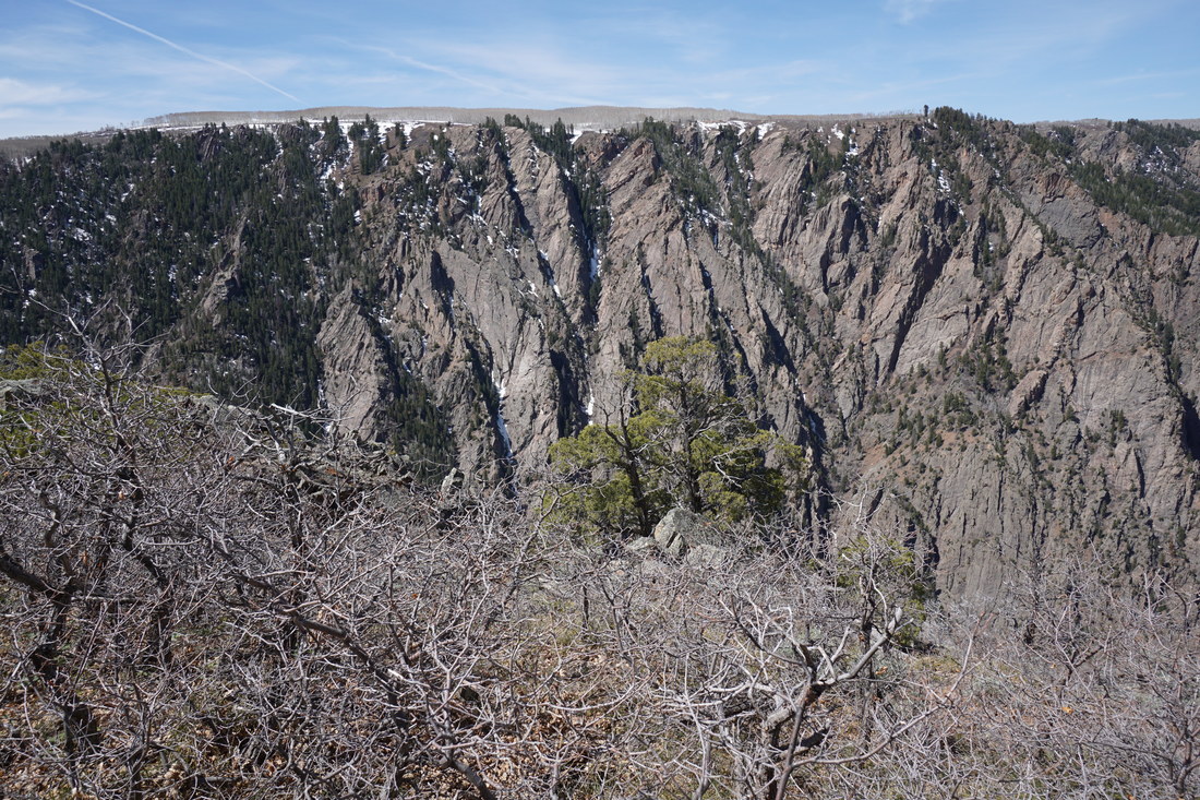
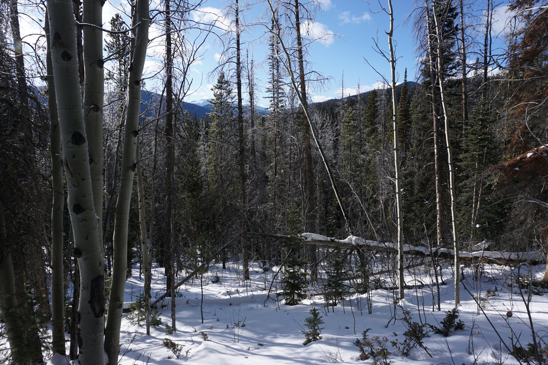
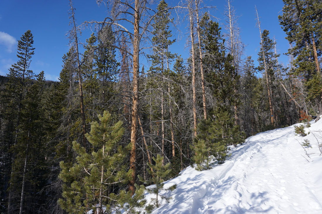
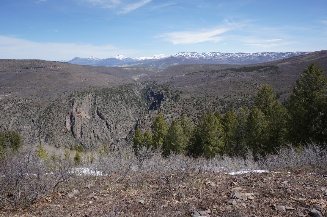
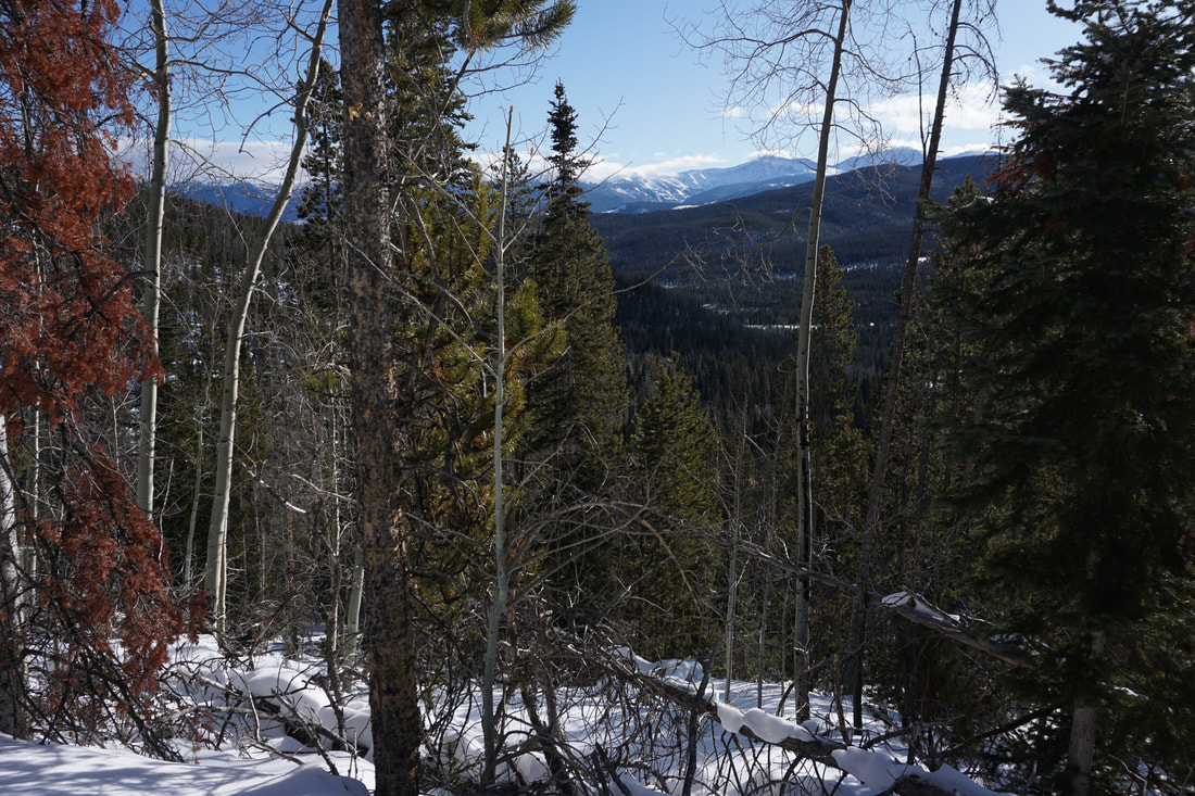
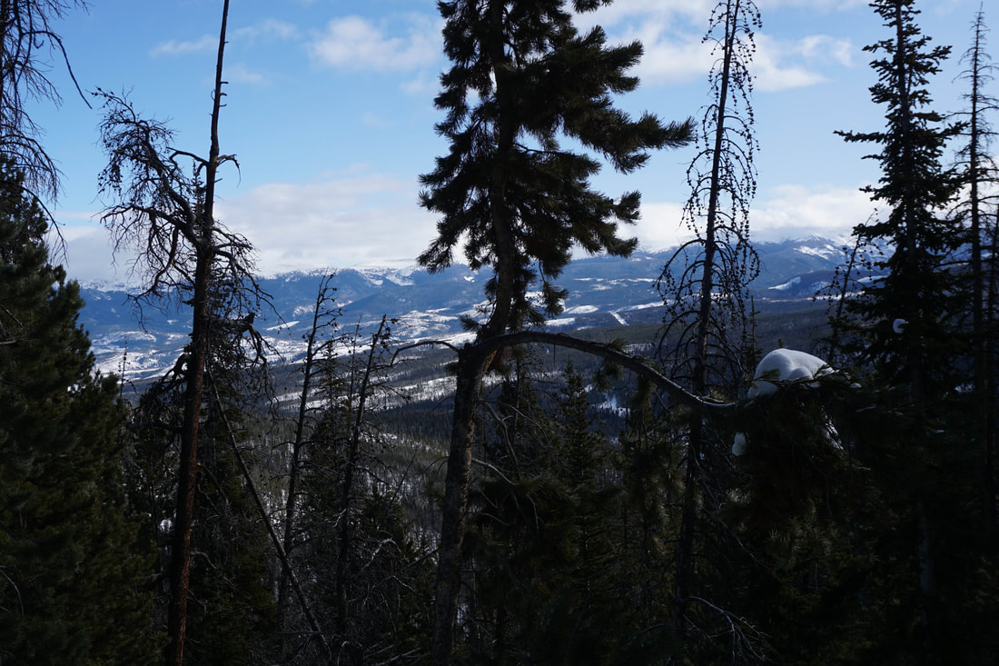
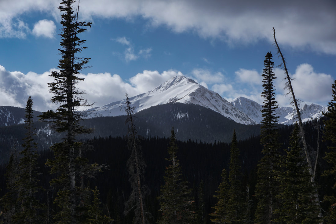
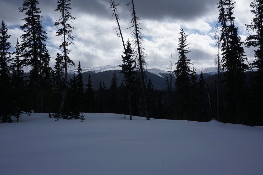
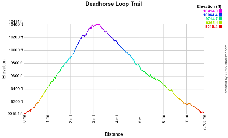
The Deadhorse Creek Loop is a long, quiet, and peaceful winter snowshoe hike. The loop joins the Deadhorse Creek Trail and the Tipperary Trail to form a loop of just about 8 miles. The majority of the hike is through quiet evergreen forest but there are some big views of the Continental Divide and an up-close view of the north ridge of Byers Peak. The entire route is closed to snowmobiles so it is only used by skiers and snowshoers. Very peaceful...
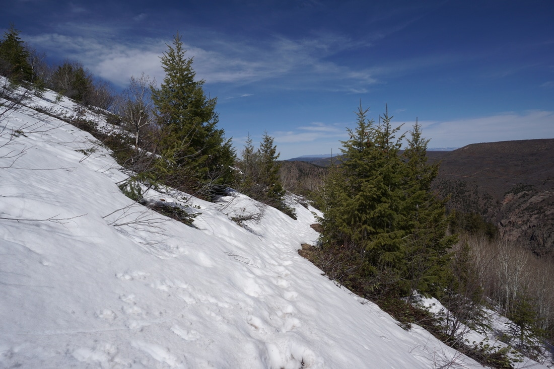
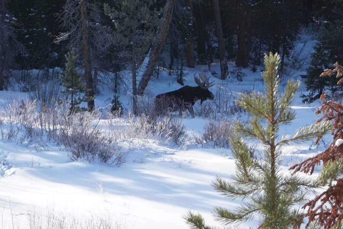
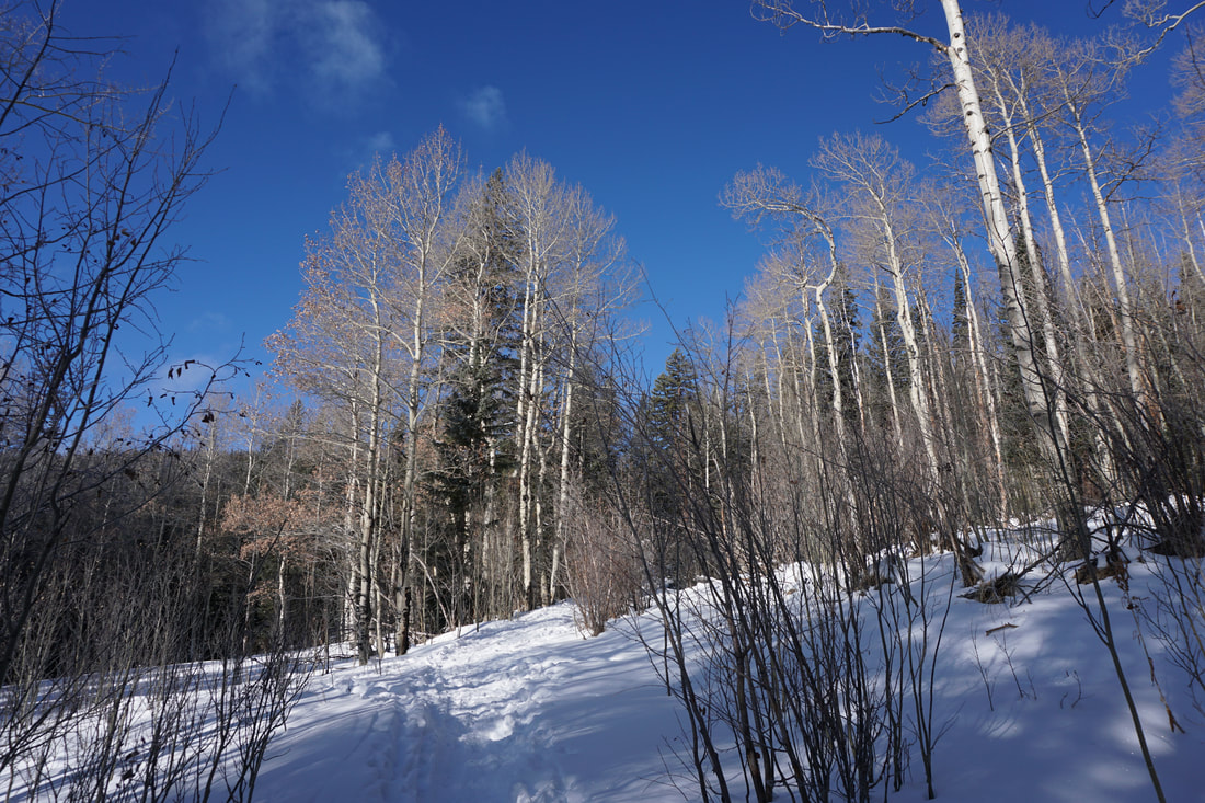
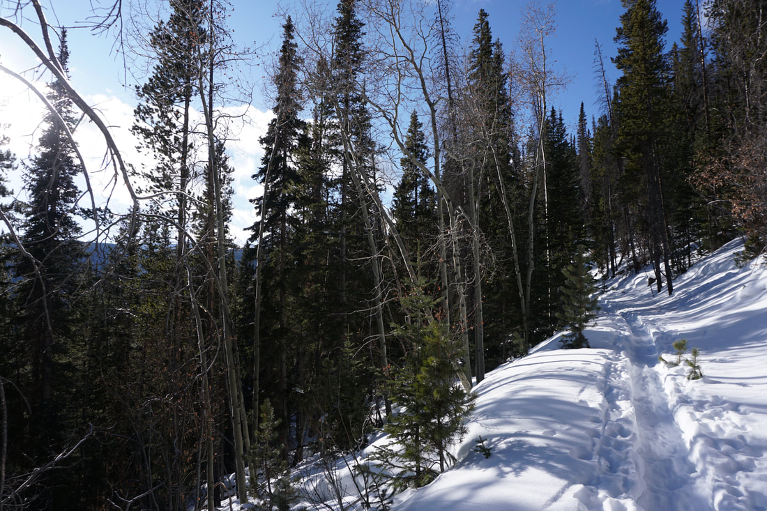
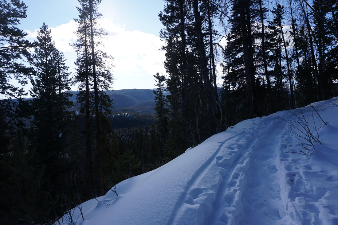
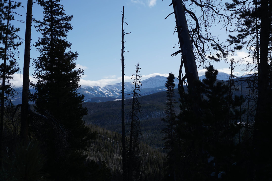
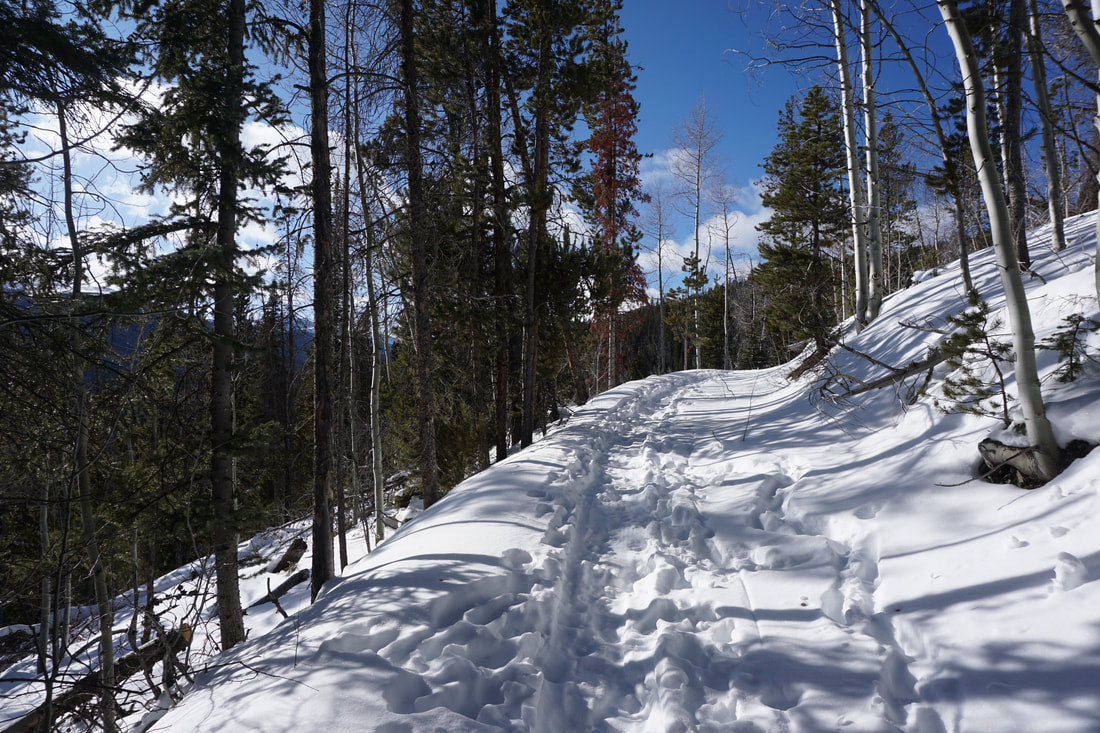
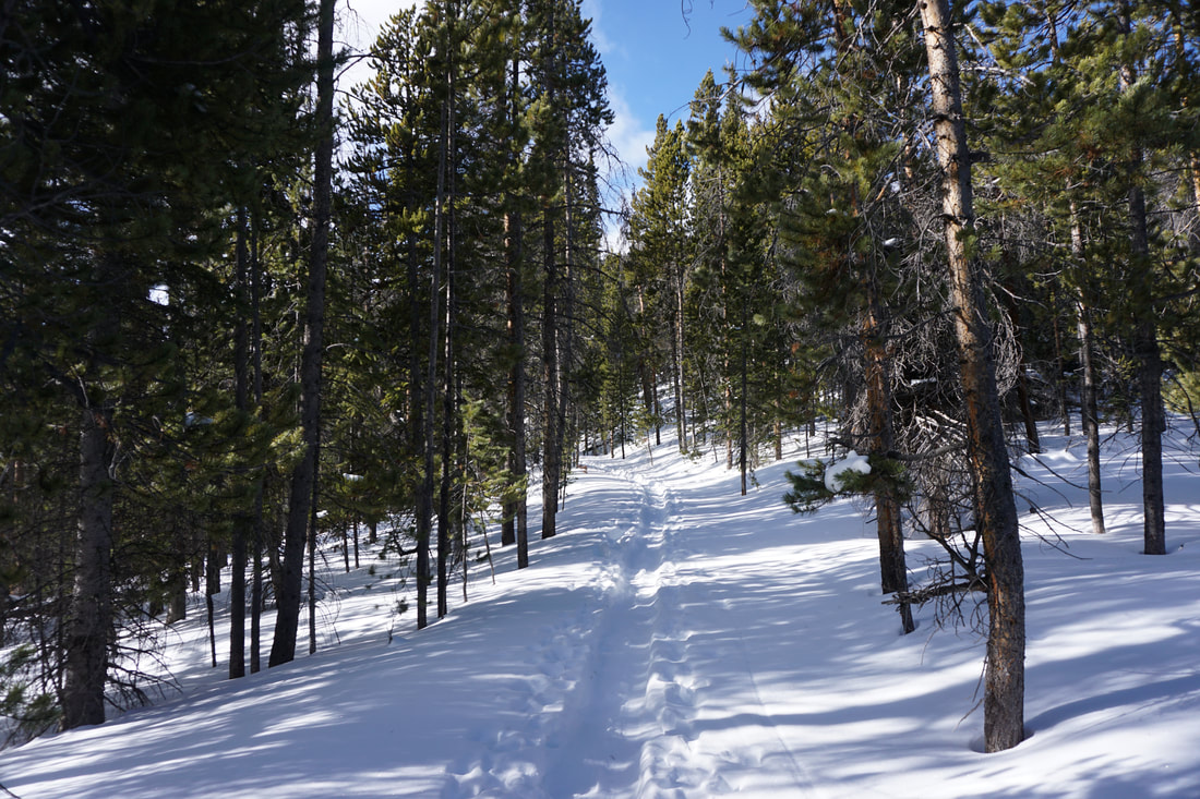
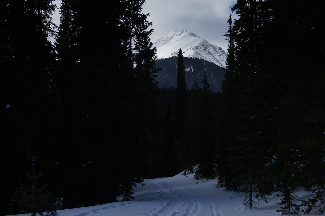
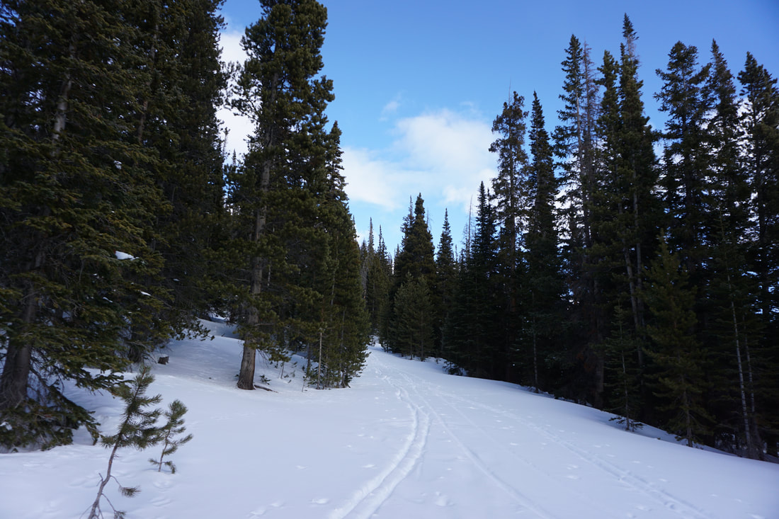
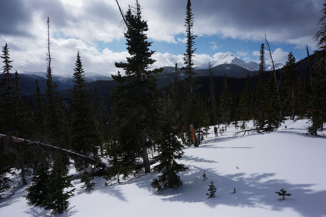
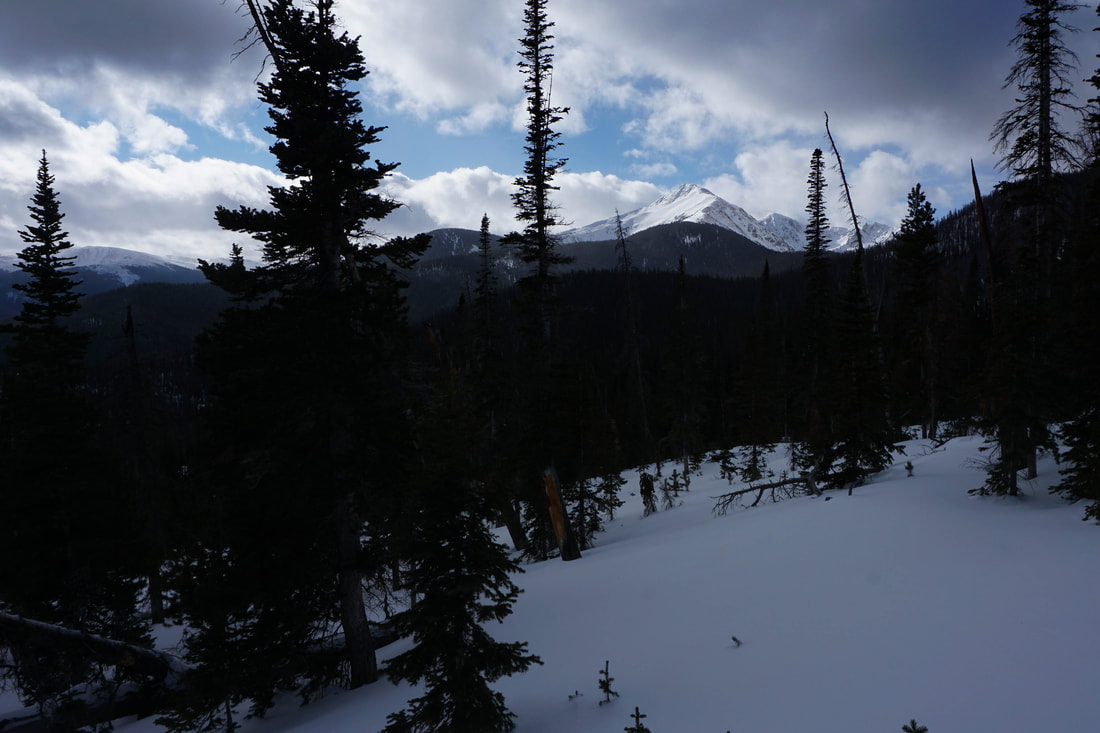
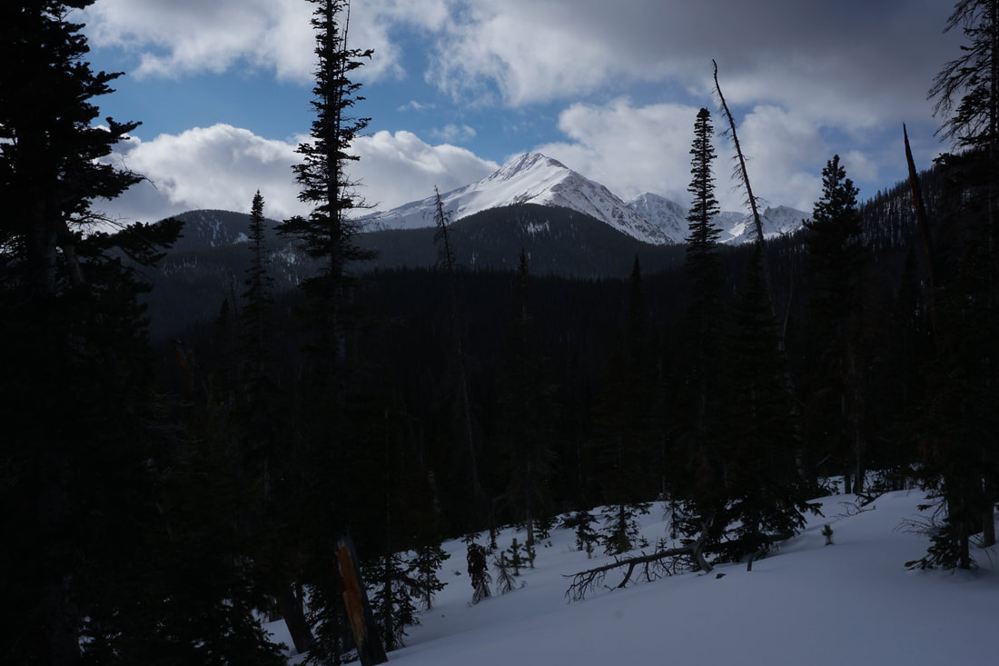
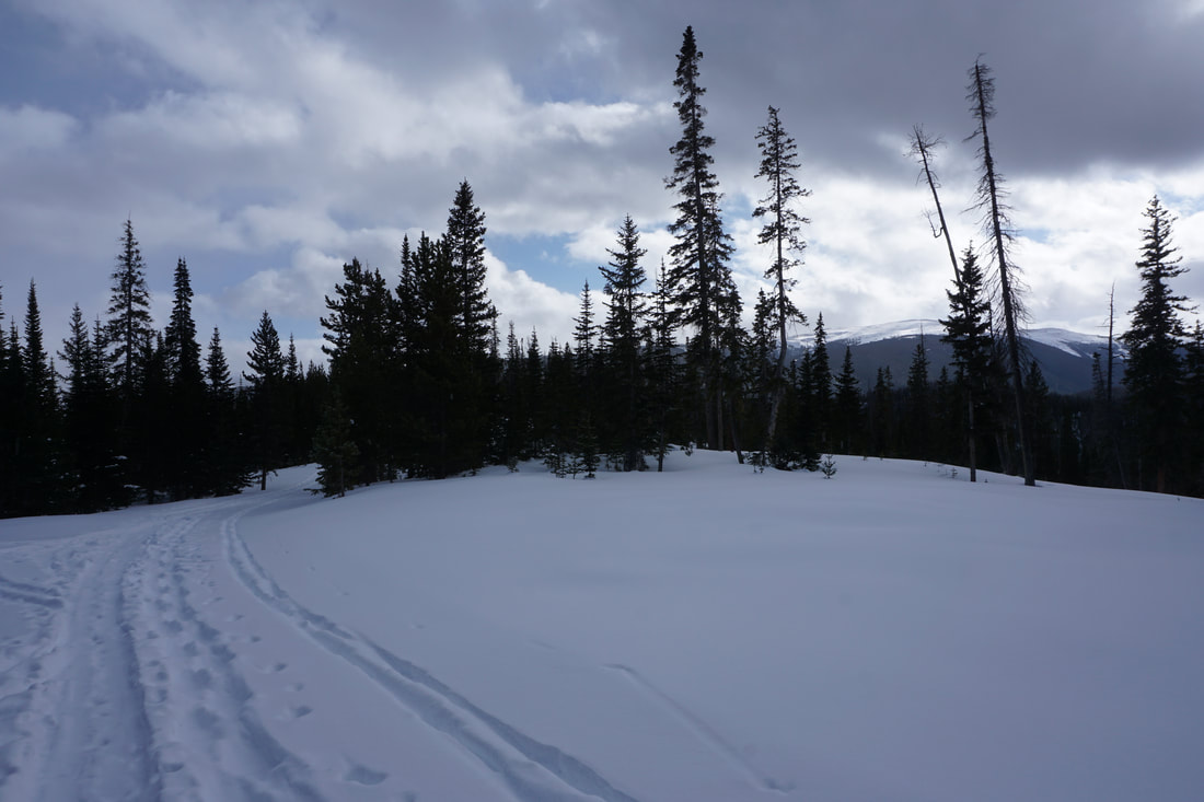
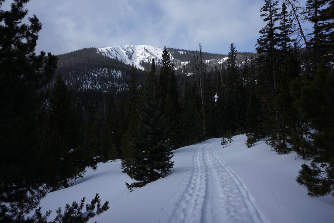
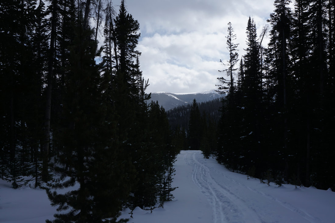
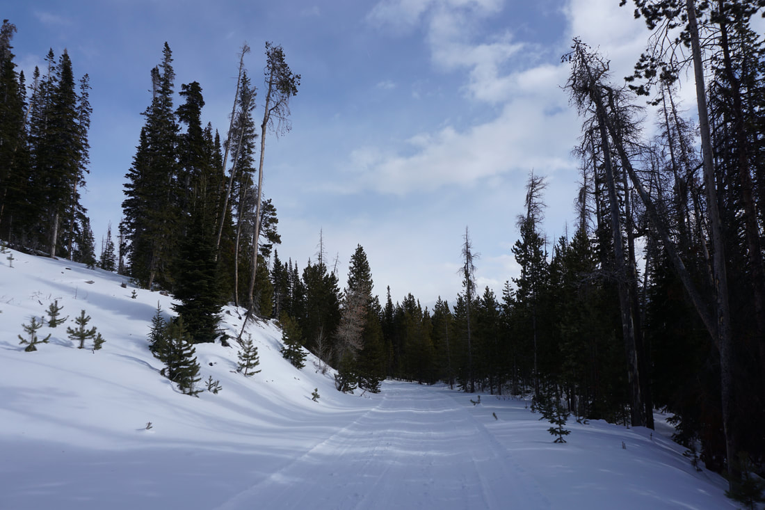
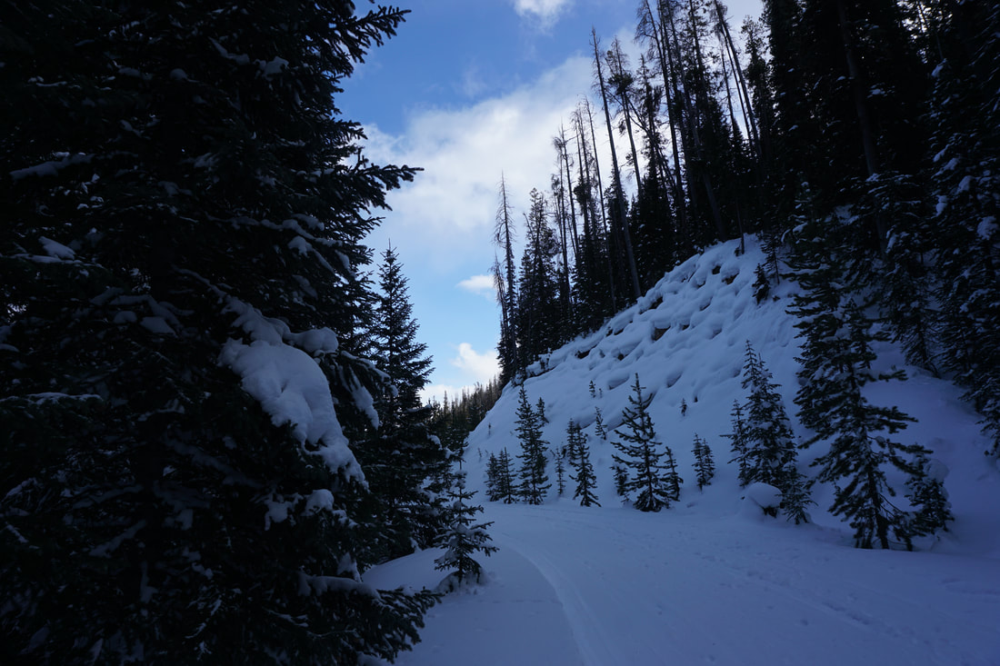
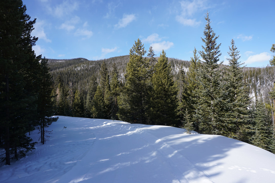
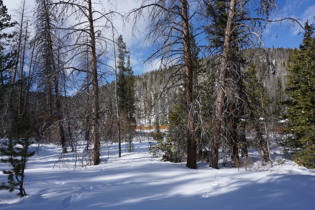
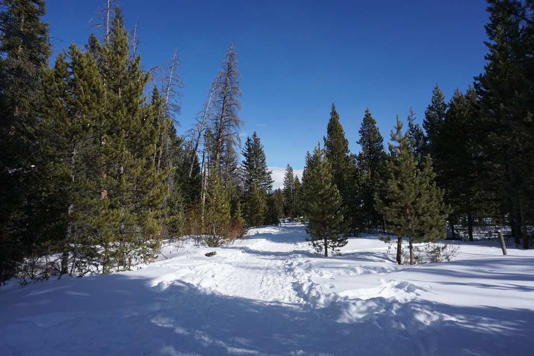
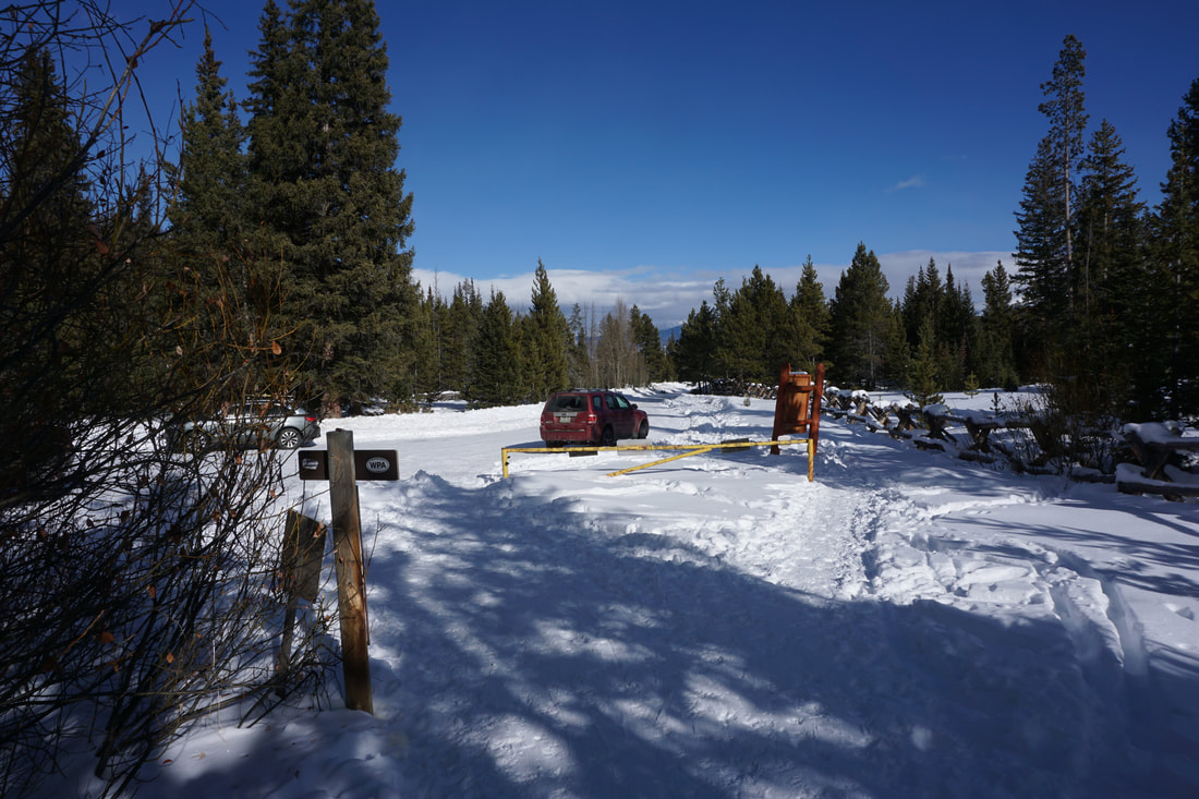
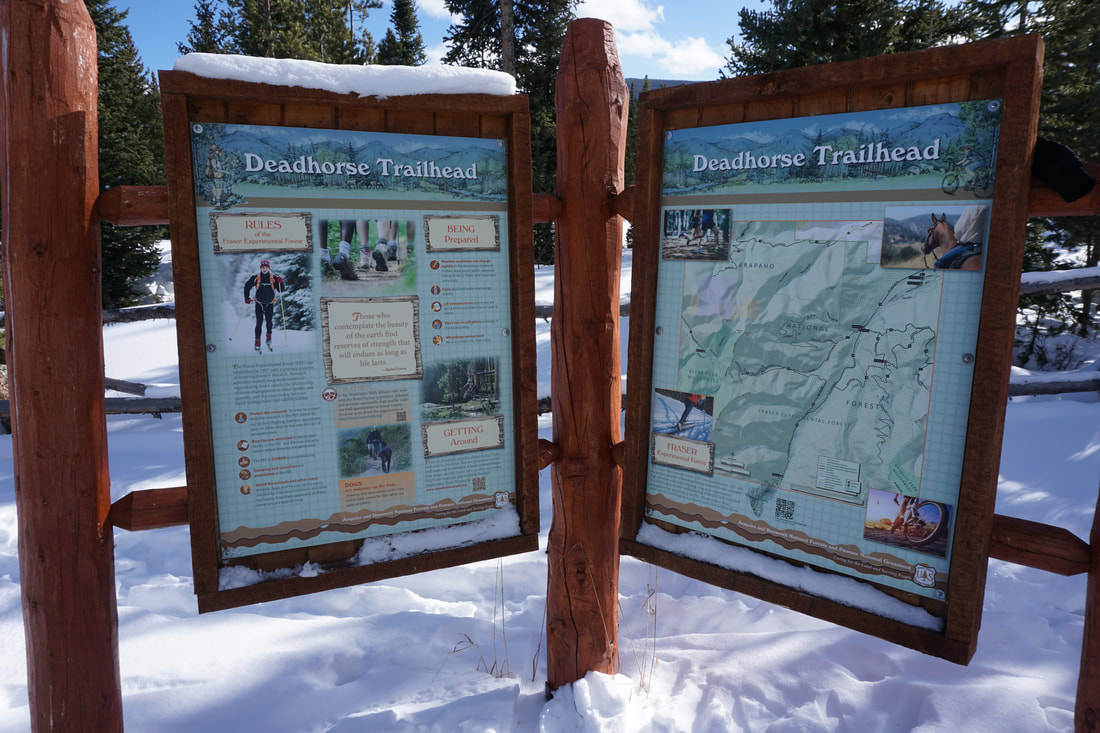
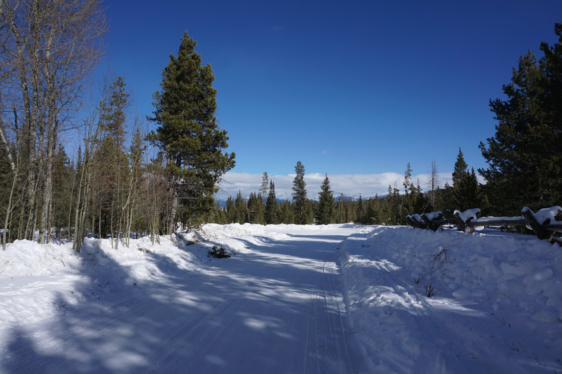
I recommend starting the loop by ascending the Tipperary Creek Trail. To do this, park in the large parking area for the Leland Creek Trailhead. Cross the road and start hiking the Tipperary Creek Trail. Starting on the Tipperary Creek Trail means that you have a shorter (although slightly steeper) uphill trek with about 4.5 miles of downhill after the viewpoint at the top. The Tipperary Creek Trail is a beautiful single track trail that should be bootpacked most of the time in the winter. That being said, snowshoes or skis are highly recommended. The trail skirts a meadow with views of Byers Peak in the background, look for moose in the meadow. After the meadow the majority of the hike is through aspen and pine forest. As you climb higher you'll get some nice views of Mt. Jasper and Mt. Neva across the Fraser River Valley. After about 2 miles of hiking you'll reach the junction with the Deadhorse Creek Trail. The Tipperary Creek Trail continues straight, but you should turn left towards the closed gate and the start of the Deadhorse Creek Trail. After the gate the trail continues and gets a bit steeper as you cut across the mountainsides. After 1 mile of hiking you'll reach a large junction with a view of Byers Peak topping out over the trees. The Deadhorse Creek Trail continues by turning left and heading downhill...however, I strongly recommend turning right, uphill, and following the road for about 100 feet. The road will then veer off to the right but you should head left through the trees for a few minutes. When you break through the trees you'll come to an amazing viewpoint with Byers Peak's striking north ridge on full display. This is a wonderful view and the photos in the gallery do not do it justice...this is the reason (if you need one) to hike this trail... Find you way back to the junction and head down the Deadhorse Creek Trail. The Deadhorse Creek Trail mostly consists of hiking along a wide dirt road that is closed to vehicle use, except by US Forest Service staff and researchers. The trail is a bit more open then the Tipperary Creek Trail, so the views are better on the higher portions of the trail. You'll enjoy more views of Byers Peak and Mount Nystrom to the Southeast. The downhill section of the trail is long...seemingly endless, especially when snowshoeing. As you descend the forest surrounds you again as you near the bottom of Deadhorse Creek. There are a few unsigned turns along the way but when in doubt, bear left, downhill, and follow the blue blazes on the trees. At every turn, I was able to find a blue blaze to show the way. Eventually you'll reach the Deadhorse Trailhead and parking area. Follow the road for just a few minutes to the Leland Creek Trailhead where you started the hike. This is a big snowshoe hike but it's not particularly difficult. The grades are mild and there are plenty of switchbacks. In the winter, the forest is quiet and serene and the views of Byers Peak from the viewpoint (if you can find it) are worth all the effort. If you are looking for some winter solitude (during Christmas week I only saw one other person on the trail) close to the Winter Park/Fraser area, then I highly recommend hiking the Deadhorse Creek Loop. Just make sure you have access to a hot tub in the area standing by.... |
|