|
Directions: This hike is located in the Cimarron section of the park. From Montrose take Hwy 50 to Cimarron, exit the highway at the Cimarron NPS Visitor Center. From here drive 1 mile down to the Morrow Point Dam parking area.
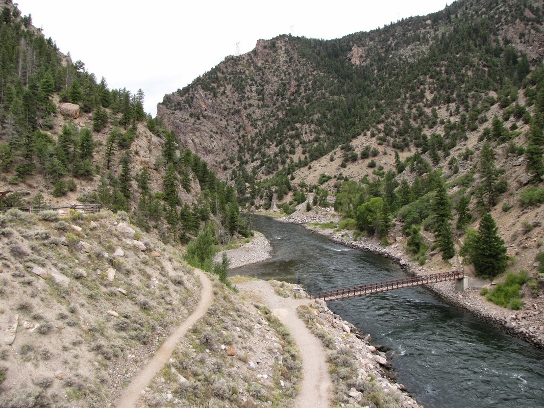
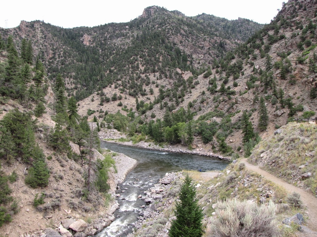
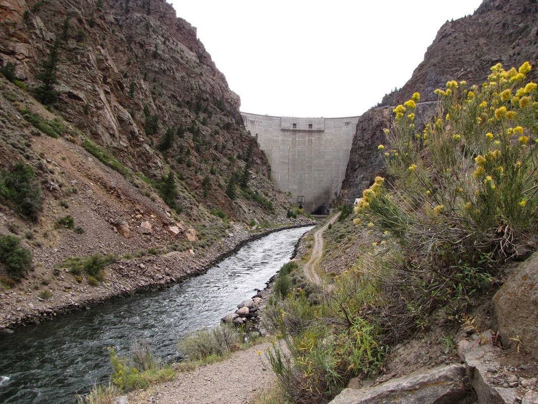
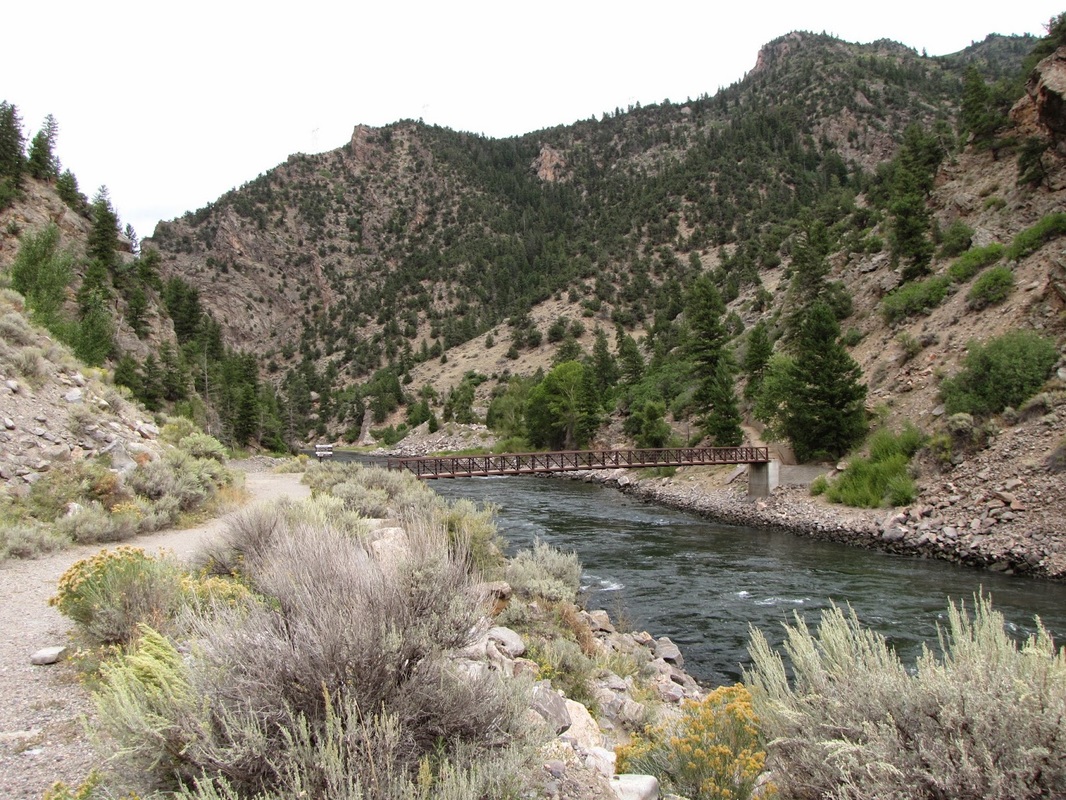
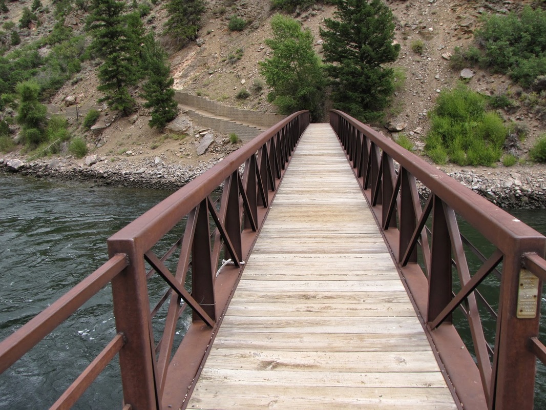
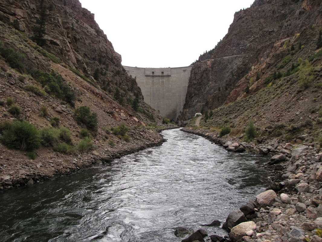
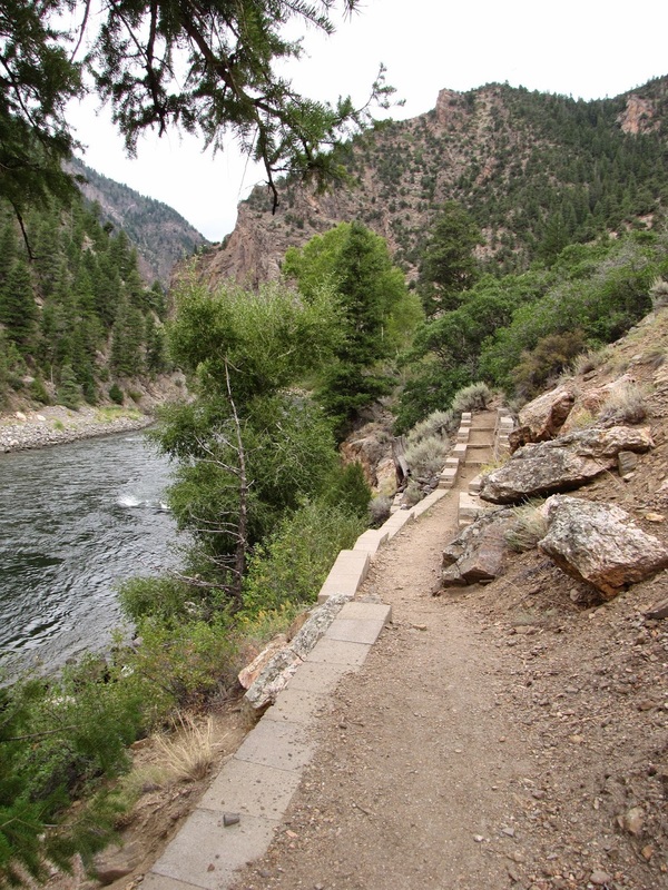
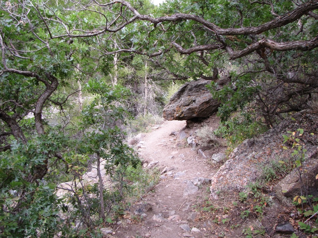
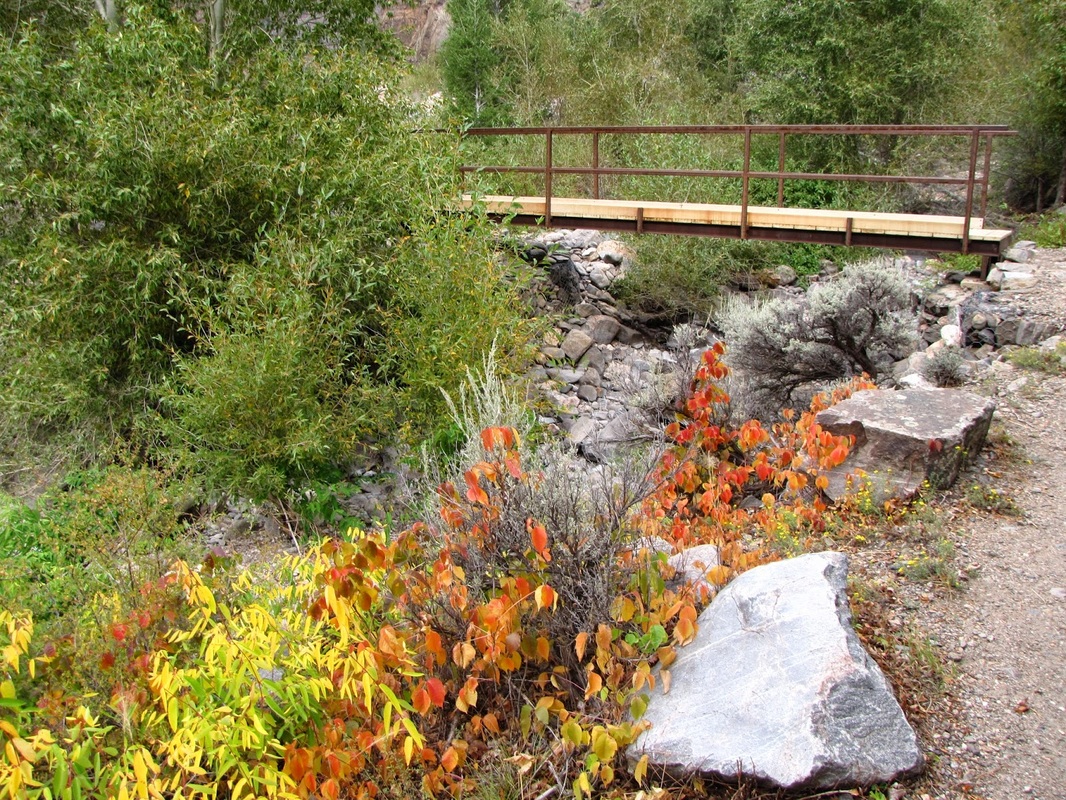
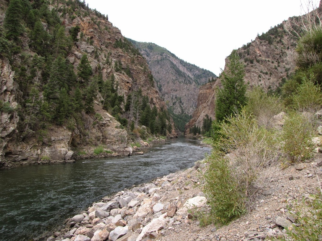
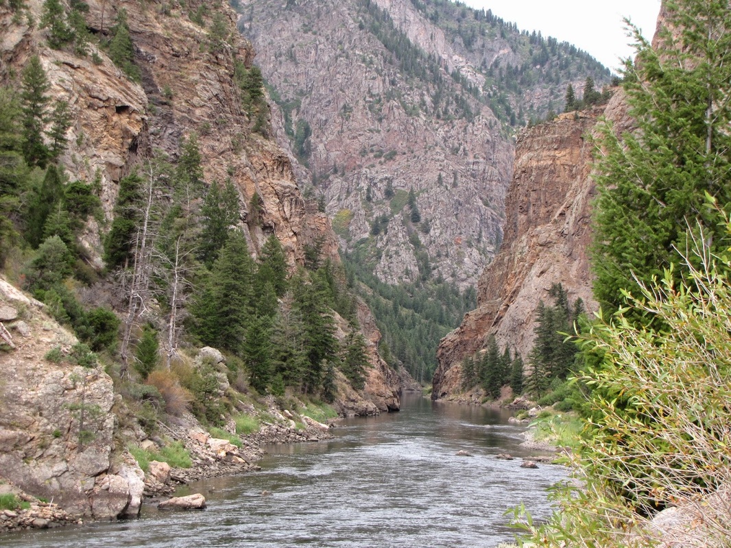
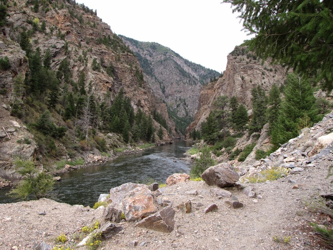
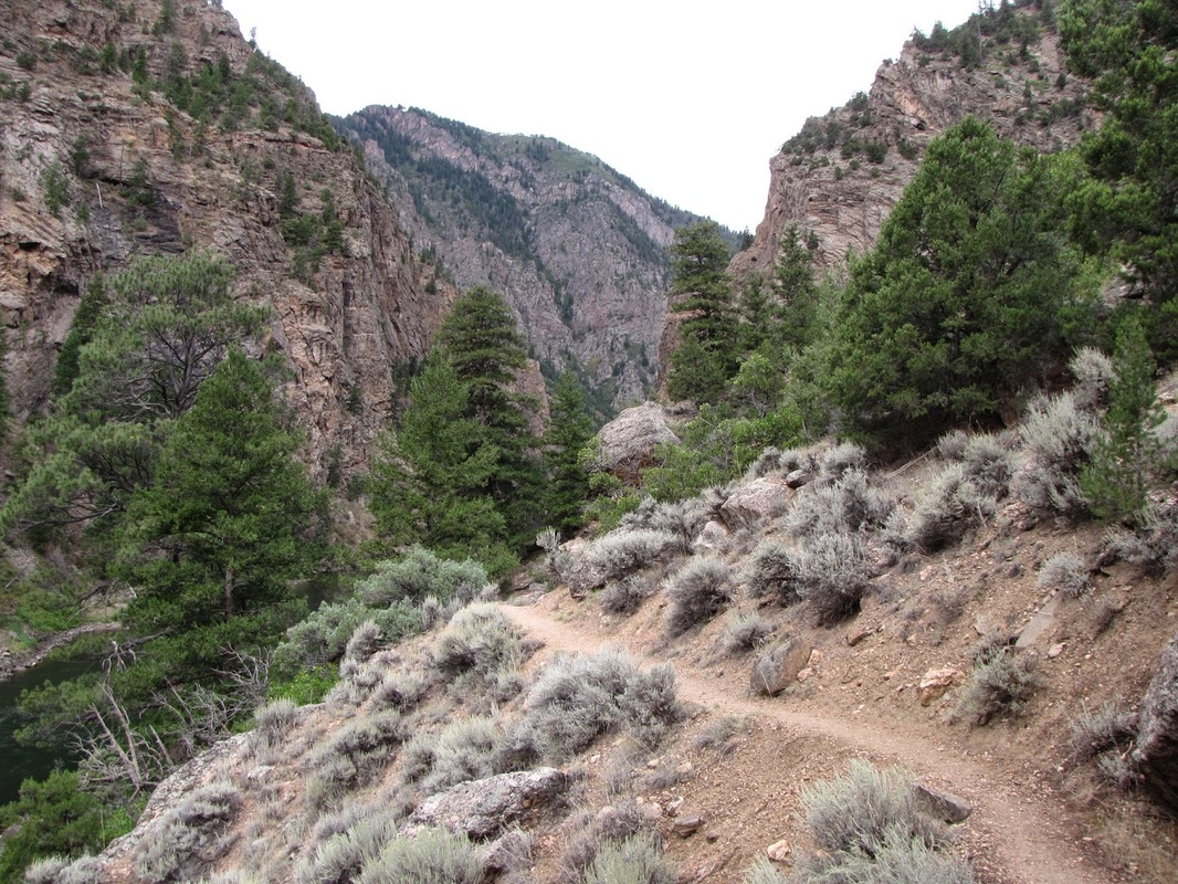
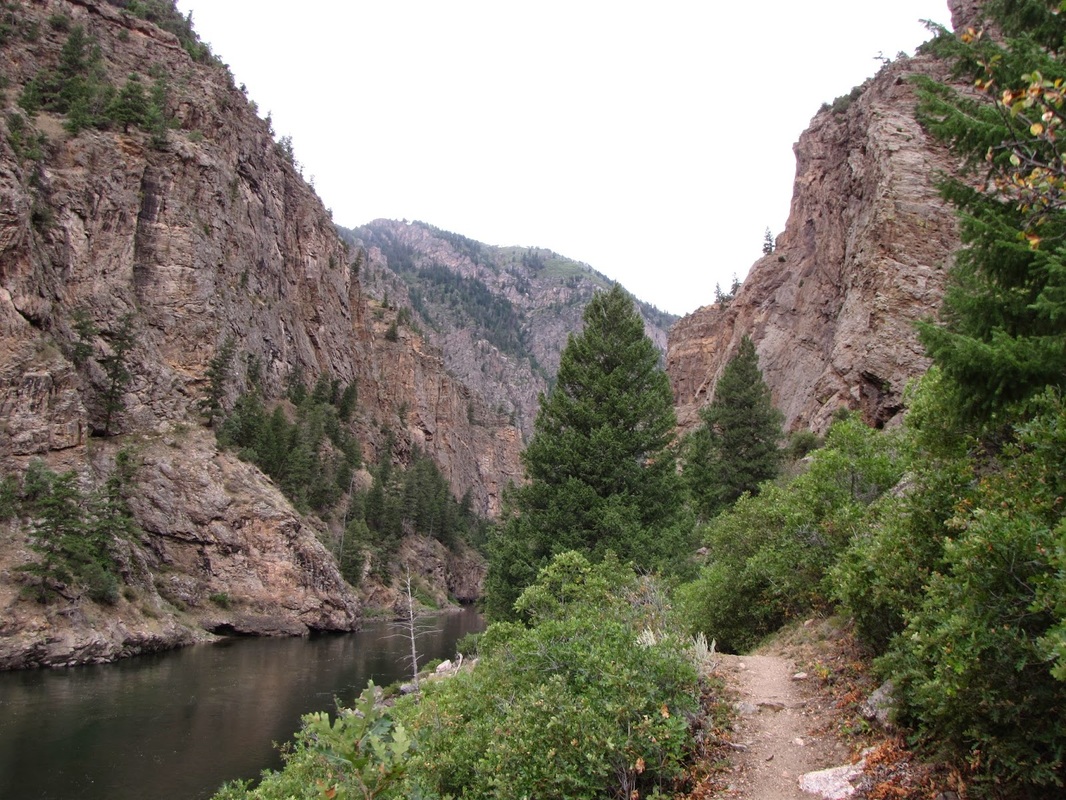
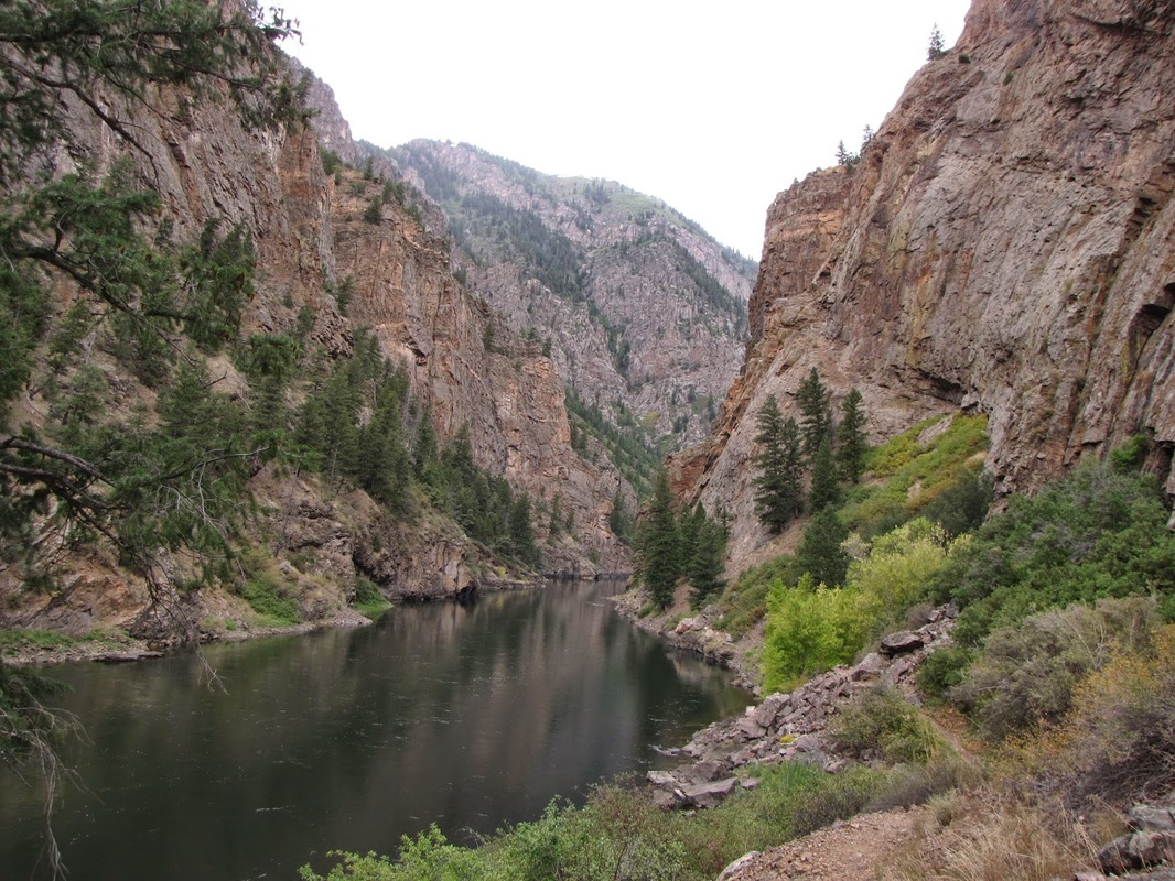
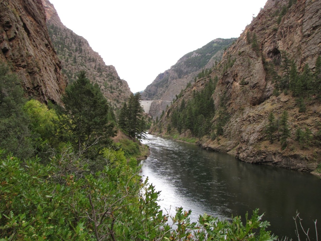
This hike is all about the start of Black Canyon. The trail begins just west of the Morrow Point Dam. The Dam is an impressive sight. From the parking area, the trail descends to the Gunnison River. A footbridge crosses over Crystal Reservoir as the rest of the trail runs along the north shore of the Gunnison. The trail hugs the canyon walls traveling through nice vegetation and always leading you towards the ever narrowing canyon. The lure of the canyon is almost irresistible here. Unfortunately, after about .8 miles, the trail stops. You will want to go deeper and explore Black Canyon but resist these urges and force yourself to turn back. Once back at your car, drive to Black Canyon of the Gunnison National Park and satisfy your, now uncontrollable, canyon craving. |
|
- HOME
- ABOUT
-
HIKES BY REGION
-
NATIONAL PARK HIKES
- BENT'S OLD FORT NATIONAL HISTORIC SITE
- BLACK CANYON OF THE GUNNISON NATIONAL PARK
- COLORADO NATIONAL MONUMENT
- CURECANTI NATIONAL RECREATION AREA
- DINOSAUR NATIONAL MONUMENT
- FLORISSANT FOSSIL BEDS NATIONAL MONUMENT
- MESA VERDE NATIONAL PARK
- ROCKY MOUNTAIN NATIONAL PARK
- GREAT SAND DUNES NATIONAL PARK
- HOVENWEEP NATIONAL MONUMENT
- SAND CREEK MASSACRE NATIONAL HISTORIC SITE
- YUCCA HOUSE NATIONAL MONUMENT
- HIKES BY CATEGORY
- NEWS
- WEBCAMS
- $UPPORT GHC
- INTERACTIVE MAP
Mesa Creek Trail
Curecanti National Recreation Area
Distance: 1.6 mi (RT)
Elevation Gain: 300ft
Managing Agency: National Park Service
Fee: None