GO HIKE COLORADO
Get in Touch:
  • HOME
  • ABOUT
  • HIKES BY REGION
    • DENVER AREA >
      • Denver Mountain Parks
      • Jefferson County Open Space
      • Lakewood Parks
      • Denver Area Greenways
    • BOULDER AREA
    • DOUGLAS COUNTY
    • FORT COLLINS AREA
    • COLORADO SPRINGS AREA
    • FRONT RANGE
    • TENMILE & MOSQUITO RANGES
    • GORE RANGE
    • SANGRE DE CRISTO MOUNTAINS
    • PARK RANGE
    • SAWATCH RANGE
    • ELK MOUNTAINS
    • SAN JUAN MOUNTAINS
    • THE FLAT TOPS
    • GRAND MESA
    • COLORADO PLATEAU
    • EASTERN PLAINS
  • NATIONAL PARK HIKES
    • BENT'S OLD FORT NATIONAL HISTORIC SITE
    • BLACK CANYON OF THE GUNNISON NATIONAL PARK
    • COLORADO NATIONAL MONUMENT
    • CURECANTI NATIONAL RECREATION AREA
    • DINOSAUR NATIONAL MONUMENT
    • FLORISSANT FOSSIL BEDS NATIONAL MONUMENT
    • MESA VERDE NATIONAL PARK
    • ROCKY MOUNTAIN NATIONAL PARK
    • GREAT SAND DUNES NATIONAL PARK
    • HOVENWEEP NATIONAL MONUMENT
    • SAND CREEK MASSACRE NATIONAL HISTORIC SITE
    • YUCCA HOUSE NATIONAL MONUMENT
  • HIKES BY CATEGORY
    • HIKES TO ALPINE LAKES
    • HIKES TO PEAKS & PASSES
    • HIKES THROUGH CANYONS
    • HIKES WITH FALL COLORS
    • HIKES ALONG THE I-70 CORRIDOR
    • HIKES ON PAVED TRAILS
    • HIKES FOR KIDS
    • HIKES TO WATERFALLS
    • HIKES ALONG RIVERS
    • HIKES WITH ROCK FORMATIONS
    • HIKES WITH WILDFLOWERS
    • WINTER HIKES
  • NEWS
  • WEBCAMS
  • $UPPORT GHC
  • INTERACTIVE MAP

Cub Creek Trail
Arapaho National Forest

Date Hiked: August 14, 2013

​Distance: 2.10 mi (RT)
Elevation Gain:  700ft
Elevation Min/Max:  8,368 to 9,077
Trailhead Lat/Long: 39.568128º N; 105.383493º W
Managing Agency:  U.S Forest Service
Fee:  None

Cub Creek Trail Webpage (USFS)
Picture

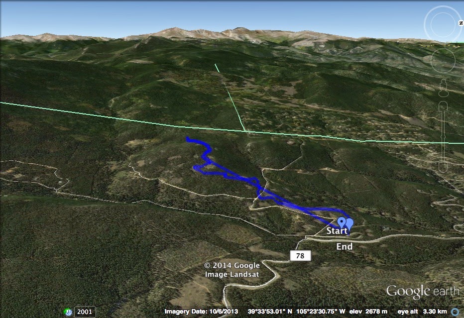
Directions:  From Denver, take I-70 W and exit onto Evergreen Parkway (74).  Take 74 into Evergreen and at the downtown traffic light turn right onto Hwy. 73.  Turn right onto Brook Forest Road for approximately 5 miles to Black Mountain Road.  Follow Black Mountain Road for another mile to the Cub Creek Trailhead.

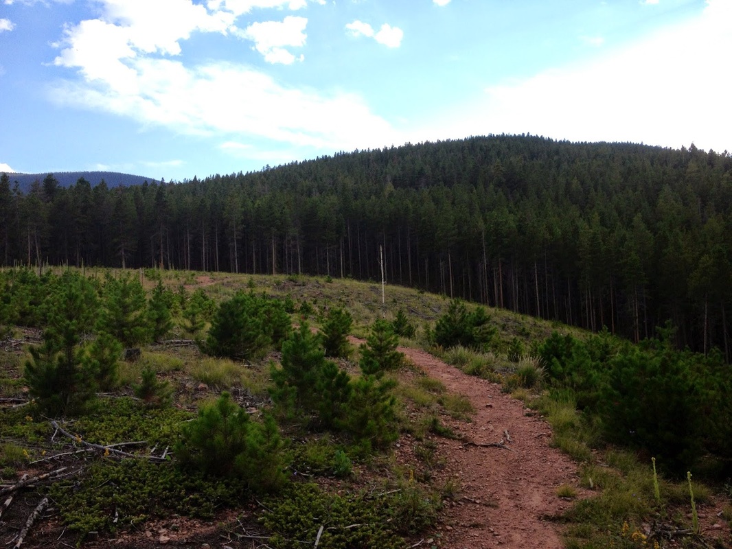
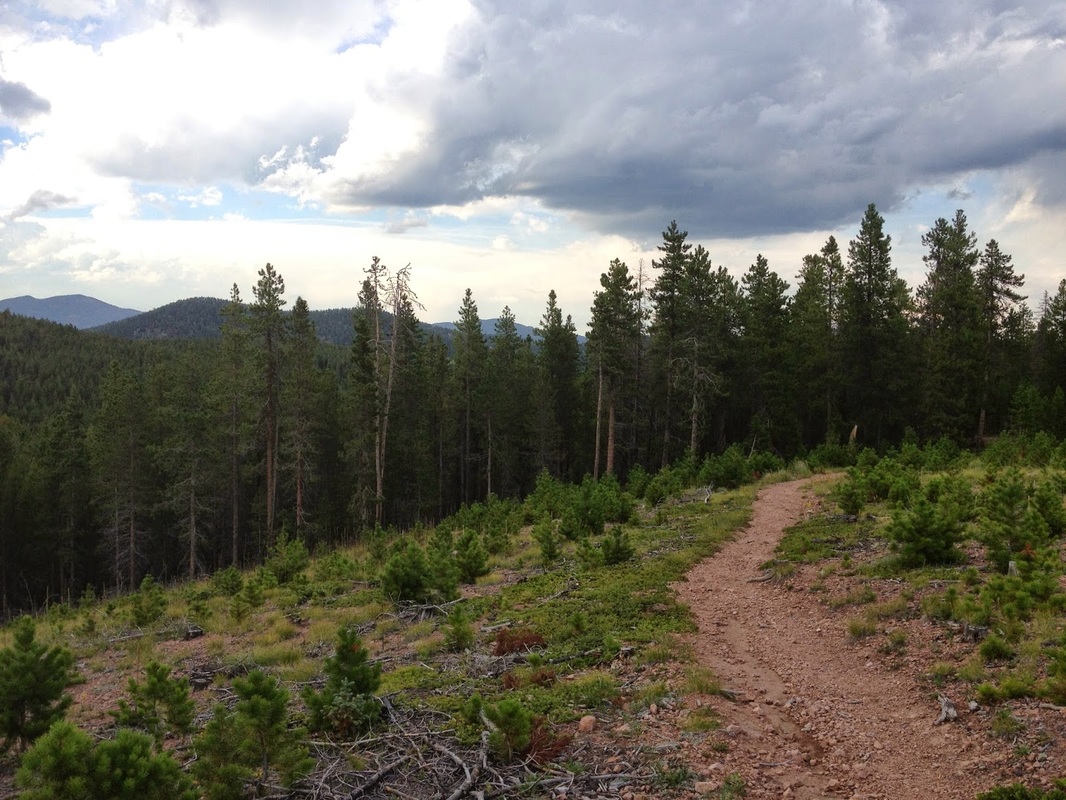
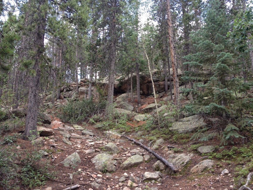
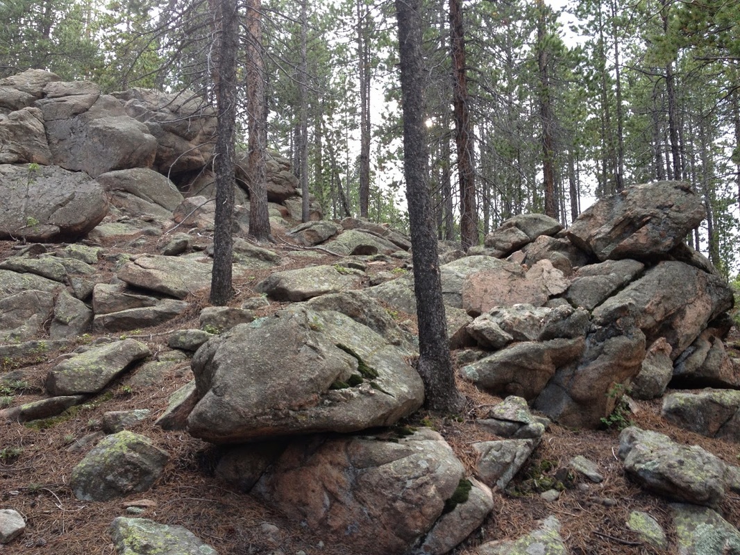
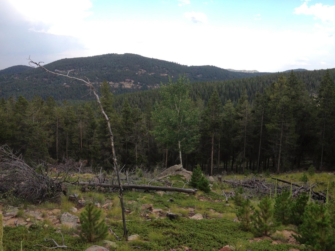
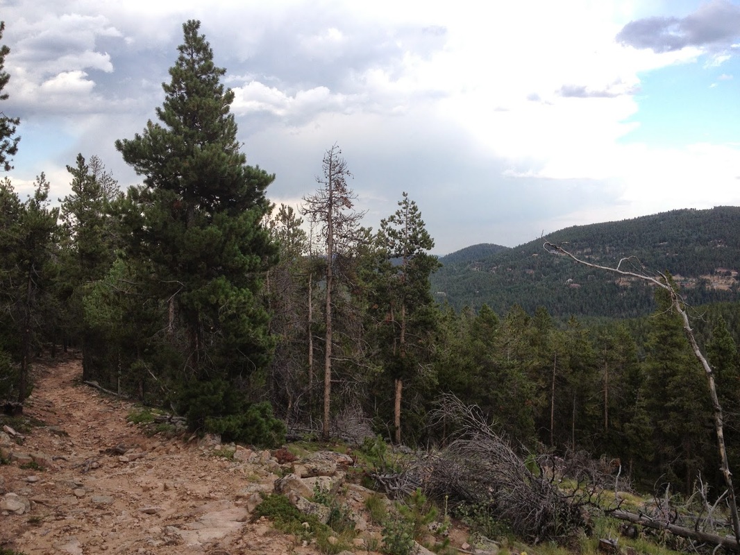
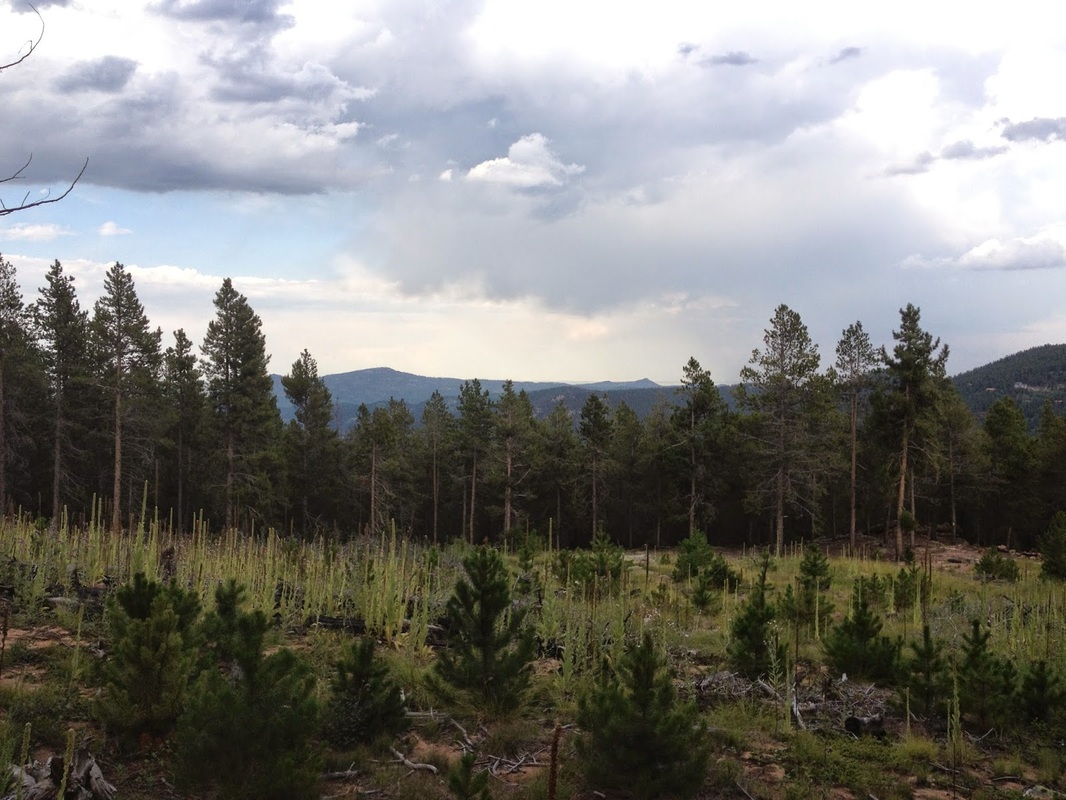
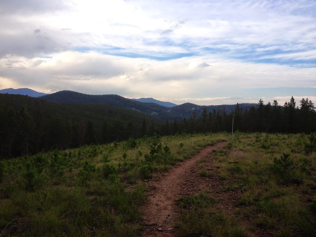
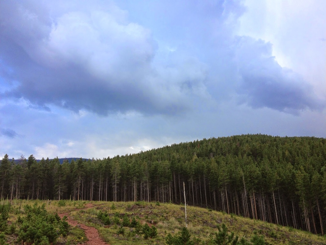
The Cub Creek Trail is a pleasant hike through the forest on a rolling trail.  I have no idea where this trial leads to other than into the Mt. Evans Wilderness.  I have only explored this trail for a little more than 1 mi.  According to the USFS website, the trail is closed 4 ½ miles in due to property disputes so it no longer provides access to the Mt. Evans Wilderness.  That being said I am curious to know if there is a good destination spot within those 4 miles as the trail is nice and shaded and close to Denver.  The maps that I’ve seen do not show any features such as a viewpoint or lake, but I’ll have to go back and explore further.  I’ll report back when I find some more info, but if anyone out there knows of a good destination, please write comment on this hike and let us know.
Powered by Create your own unique website with customizable templates.