|
DIRECTIONS: From Colorado Springs take U.S. 24 west to Woodland Park and continue west to Divide. Turn south on CO 67 and after 5 miles, turn left (east) at the sign for Crags Campground. Drive 2 miles on the dirt road to the Menonite Camp and turn right following signs. Continue on the narrowing and rough dirt road for 1.4 miles to the Crags and Devil's Playground Trailhead.
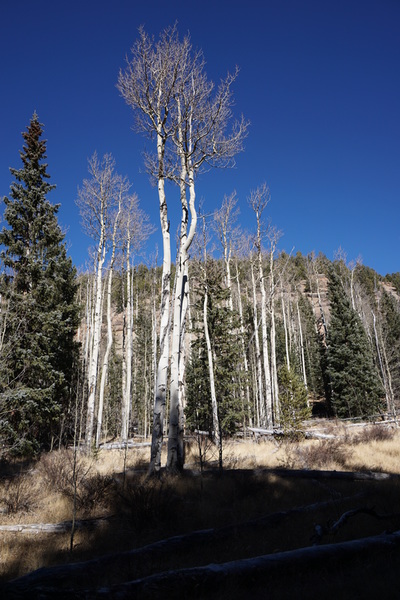
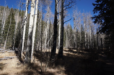
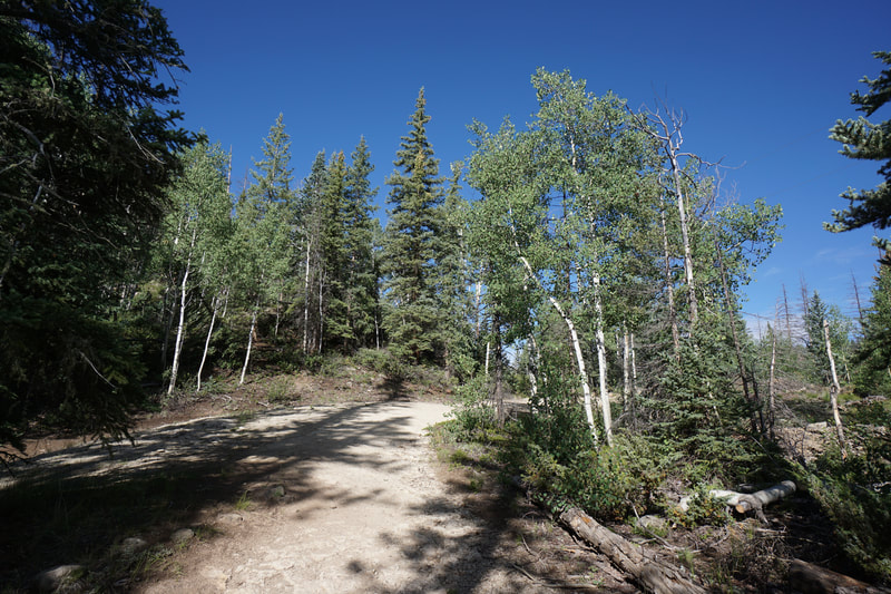
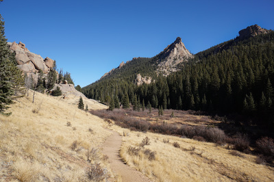
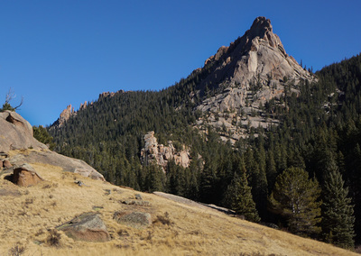
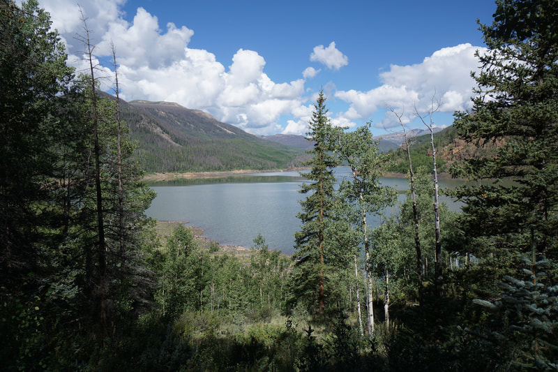
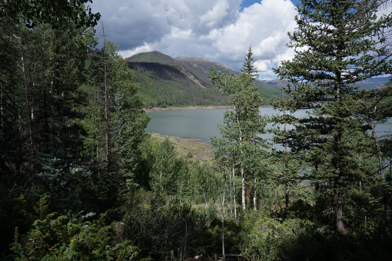
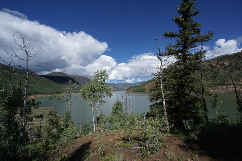
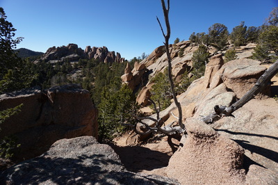
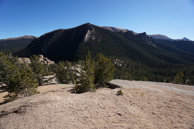
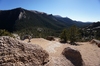
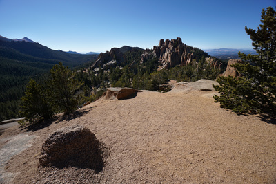
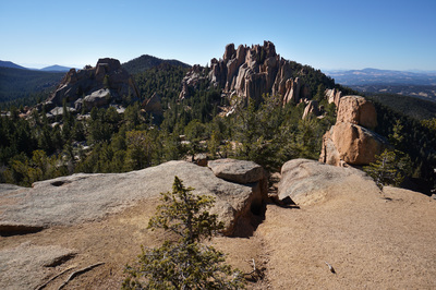
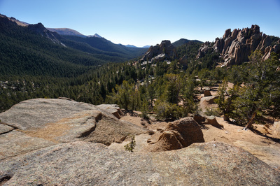
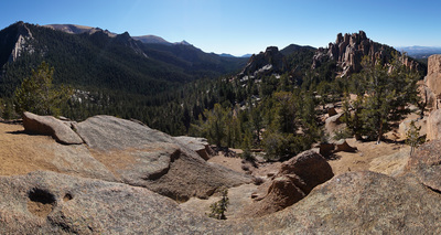
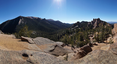
The Crags Trail is an exciting hike to a rocky summit on the northwest shoulder of Pike's Peak. The trail is littered with aspen trees (should be great in the fall), towering rock formations, and expansive vistas. The hike itself is relatively easy but you could spend an entire weekend climbing, bouldering, and exploring the various rock faces and boulder mazes along the trail.
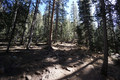
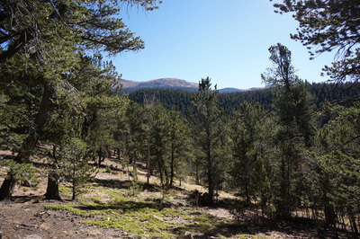
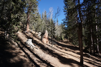
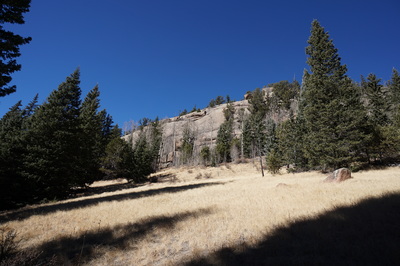
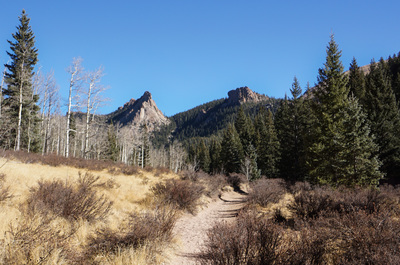
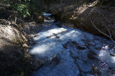
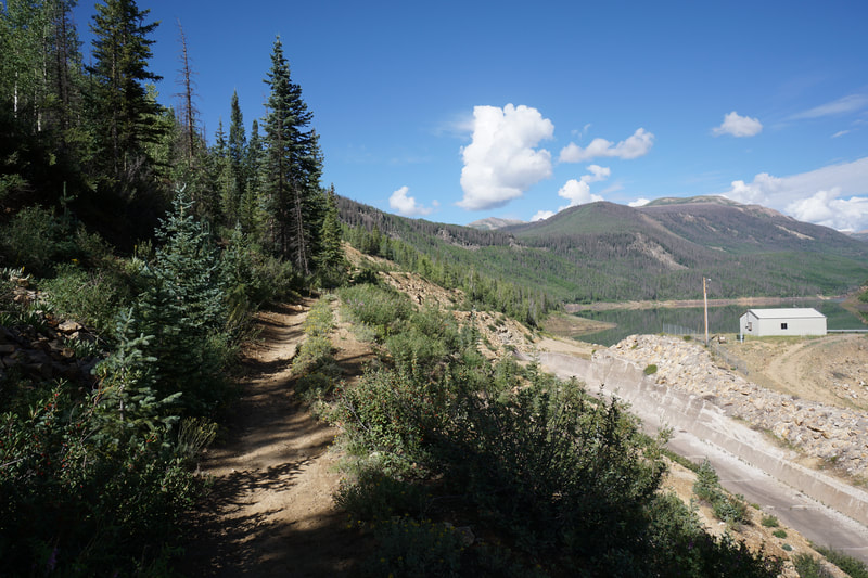
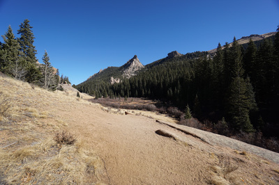
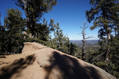
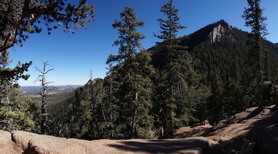
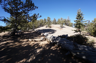
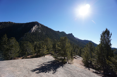
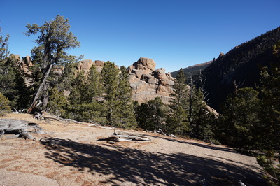
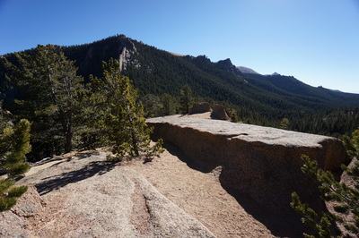
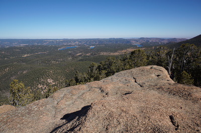
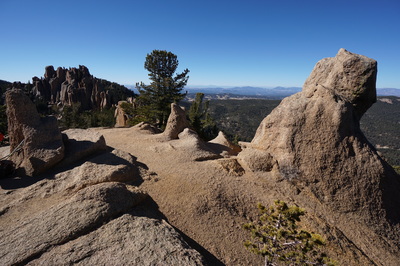
From the large parking area (before the Crags Campground) cross a small footbridge and start climbing through the pine forest. Before long the trail levels out and you are treated to some views of the west side of Pike's Peak (the actual summit is not visible from this trail). At the junction with the Devil's Playground trail stay to the left and after a little more forest hiking you'll enter a narrow open meadow. This meadow reveals your first view of the spear-like rock formations that make the Crags area so enticing. Crest a ridge and descend down the valley under the rock towers until the valley narrows and you re-enter the forest. Here the trail gets a bit steeper as you follow a drainage up to a forested saddle and your first big views to the east. The trail veers to the left and follows the ridge as the trees fade and the rock slabs take over. The views from the final push to the summit are spectacular. All around you are spires, columns, and yes, crags. The rock formations tower overhead, nibble at your feet, and stretch out towards the horizon. To the east you can see Colorado Springs and Rampart Reservoir. The Rampart Range and Mt. Evans dominate the northern views, and to the west you can just make out the Collegiate Peaks of the Sawatch Range in the far distance. That being said the real views here are of the crags. Other-wordly and impressive, you'll be tempted to get lost wandering through the geology. The hike back is an easy downhill ramble through the same wonderful terrain. |
- HOME
- ABOUT
-
HIKES BY REGION
-
NATIONAL PARK HIKES
- BENT'S OLD FORT NATIONAL HISTORIC SITE
- BLACK CANYON OF THE GUNNISON NATIONAL PARK
- COLORADO NATIONAL MONUMENT
- CURECANTI NATIONAL RECREATION AREA
- DINOSAUR NATIONAL MONUMENT
- FLORISSANT FOSSIL BEDS NATIONAL MONUMENT
- MESA VERDE NATIONAL PARK
- ROCKY MOUNTAIN NATIONAL PARK
- GREAT SAND DUNES NATIONAL PARK
- HOVENWEEP NATIONAL MONUMENT
- SAND CREEK MASSACRE NATIONAL HISTORIC SITE
- YUCCA HOUSE NATIONAL MONUMENT
- HIKES BY CATEGORY
- NEWS
- WEBCAMS
- $UPPORT GHC
- INTERACTIVE MAP
The Crags Trail
Pike National Forest
Date Hiked: November 10, 2016
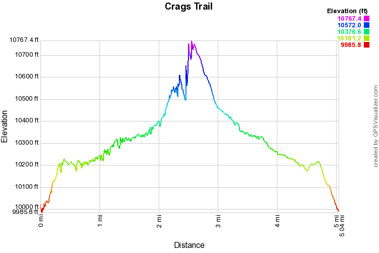
Distance: 5 mi (RT)
Elevation Gain: 1,124 ft
Elevation Min/Max: 9,986 to 10,767 ft
Trailhead Lat/Long: 38º 52' 25" N; 105º 07' 25" W
Managing Agency: U.S. Forest Service
Fee: None

