GO HIKE COLORADO
Get in Touch:
  • HOME
  • ABOUT
  • HIKES BY REGION
    • DENVER AREA >
      • Denver Mountain Parks
      • Jefferson County Open Space
      • Lakewood Parks
      • Denver Area Greenways
    • BOULDER AREA
    • DOUGLAS COUNTY
    • FORT COLLINS AREA
    • COLORADO SPRINGS AREA
    • FRONT RANGE
    • TENMILE & MOSQUITO RANGES
    • GORE RANGE
    • SANGRE DE CRISTO MOUNTAINS
    • PARK RANGE
    • SAWATCH RANGE
    • ELK MOUNTAINS
    • SAN JUAN MOUNTAINS
    • THE FLAT TOPS
    • GRAND MESA
    • COLORADO PLATEAU
    • EASTERN PLAINS
  • NATIONAL PARK HIKES
    • BENT'S OLD FORT NATIONAL HISTORIC SITE
    • BLACK CANYON OF THE GUNNISON NATIONAL PARK
    • COLORADO NATIONAL MONUMENT
    • CURECANTI NATIONAL RECREATION AREA
    • DINOSAUR NATIONAL MONUMENT
    • FLORISSANT FOSSIL BEDS NATIONAL MONUMENT
    • MESA VERDE NATIONAL PARK
    • ROCKY MOUNTAIN NATIONAL PARK
    • GREAT SAND DUNES NATIONAL PARK
    • HOVENWEEP NATIONAL MONUMENT
    • SAND CREEK MASSACRE NATIONAL HISTORIC SITE
    • YUCCA HOUSE NATIONAL MONUMENT
  • HIKES BY CATEGORY
    • HIKES TO ALPINE LAKES
    • HIKES TO PEAKS & PASSES
    • HIKES THROUGH CANYONS
    • HIKES WITH FALL COLORS
    • HIKES ALONG THE I-70 CORRIDOR
    • HIKES ON PAVED TRAILS
    • HIKES FOR KIDS
    • HIKES TO WATERFALLS
    • HIKES ALONG RIVERS
    • HIKES WITH ROCK FORMATIONS
    • HIKES WITH WILDFLOWERS
    • WINTER HIKES
  • NEWS
  • WEBCAMS
  • $UPPORT GHC
  • INTERACTIVE MAP

Panorama Point Trail
Corwina Park

Date Hiked: May 17, 2012

​Distance: 3 mi (RT)
Elevation Gain: 688 ft
Elevation Min/Max: 6,715 to 7,403 ft
Trailhead Lat/Long: 39.661625 N; 105.284771 W
Managing Agency: Denver Mountain Parks
Fee: None

Corwina Park Official Trail Map
Picture

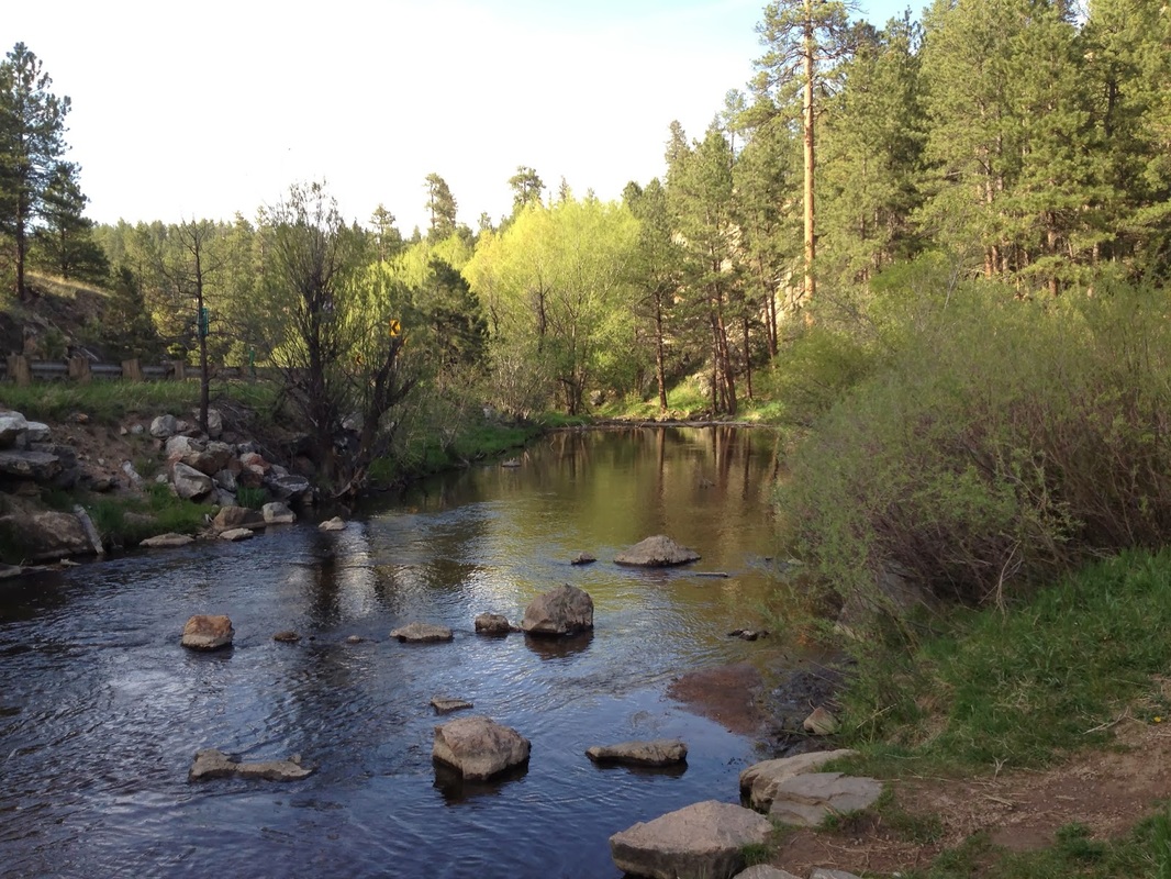
Directions:  From Morrison, head west on Bear Creek Road (74) until you see the parking lot and trailhead on the left.

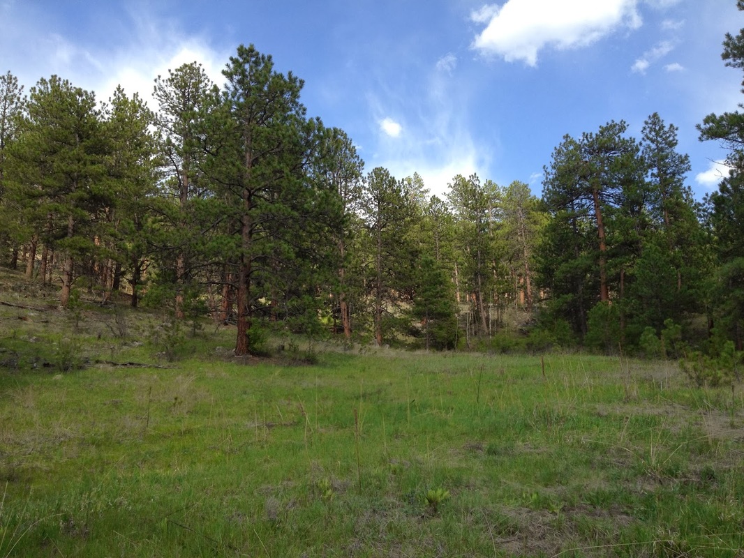
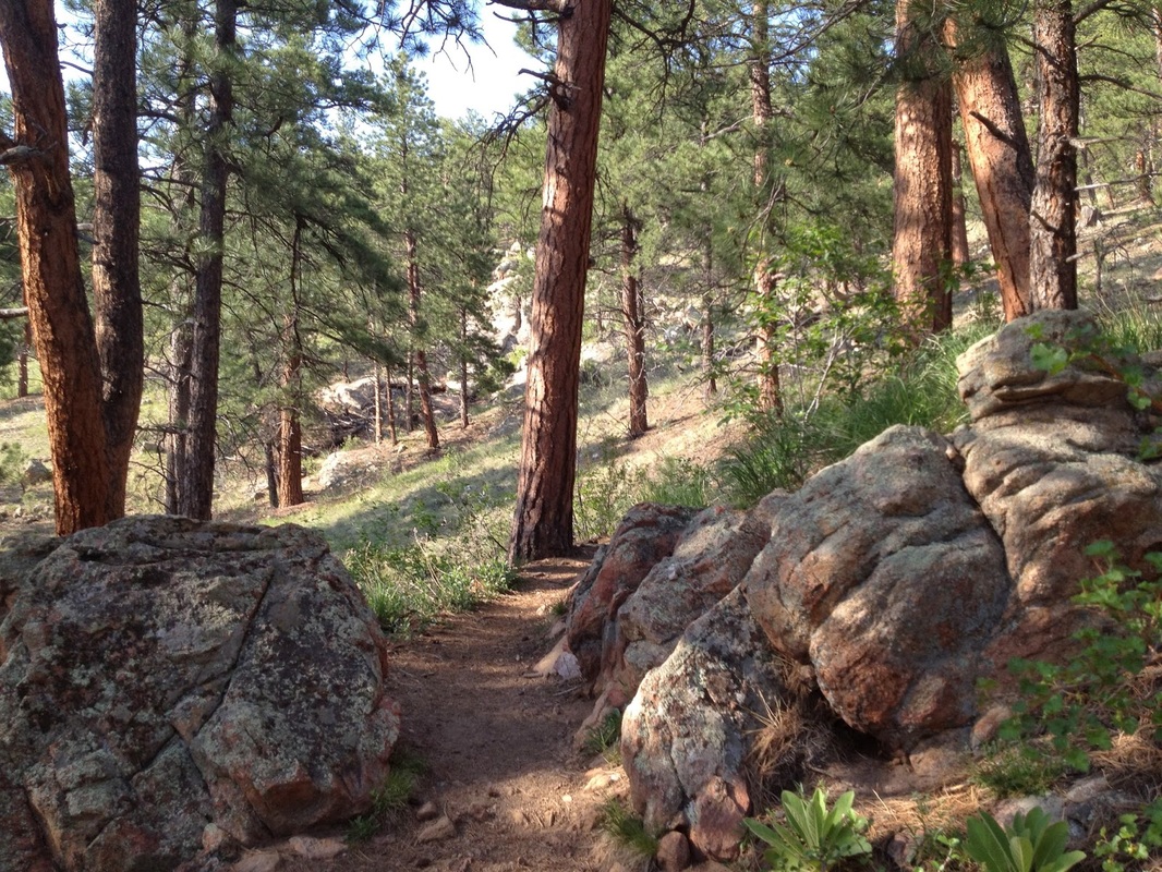
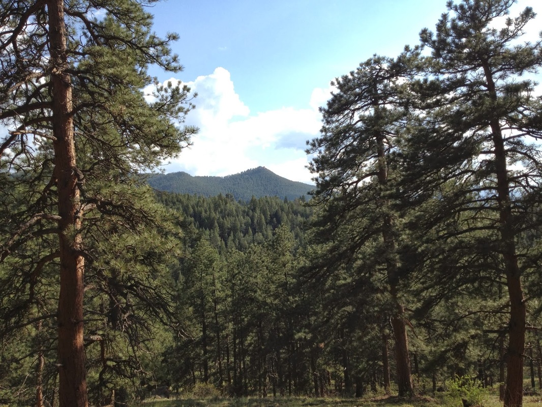
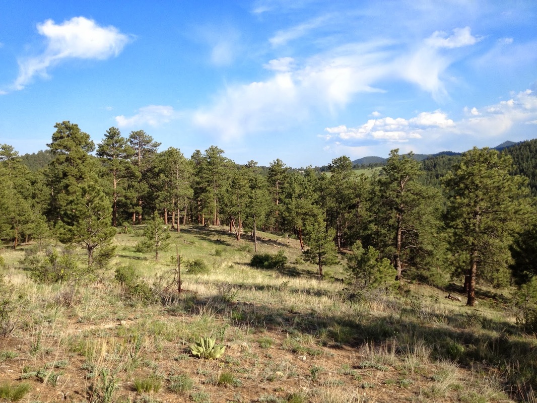
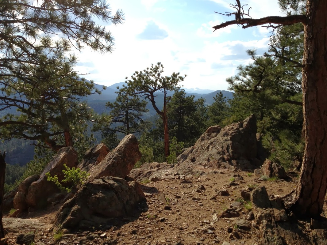
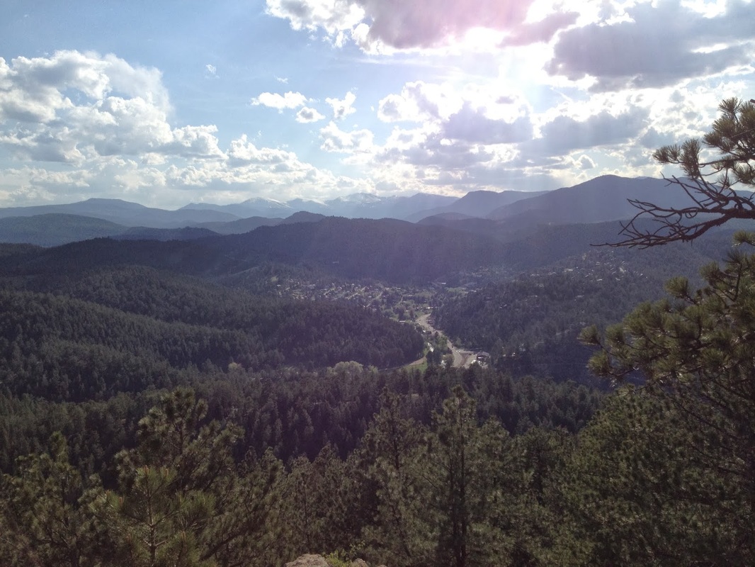
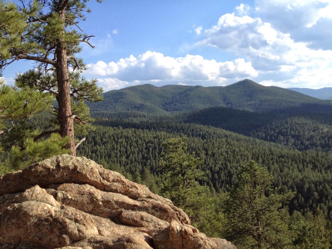
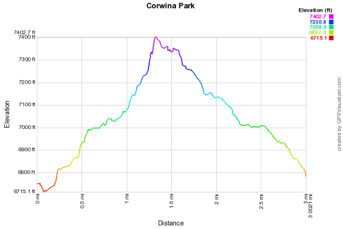
Corwina Park is one of Denver's mountain parks connected by the Bear Creek Trail (BCT), along with Little Park, O'Fallon Park, and Pence Park.  While the BCT is predominantly used by mountain bikers, Corwina Park does have a hiker only trail that leads from the parking lot, through pine and aspen forest, up to Panorama Point.  This rocky outcropping has great views of the Bear Creek Valley as well as Mount Evans and is a worthy destination.  Once at Panorama Point, you can either go back the way you came or follow a faint social trail past Panorama Point and down to the BCT making the hike a small balloon loop.

Corwina Park's close proximity to Denver and lack of crowds make this a very pleasant, quick escape to the foothills.
© Go Hike Colorado, 2020.  All Rights Reserved. 
Use of photographs without prior authorization is
​strictly prohibited.


Contact us at:
[email protected]
Legal Disclaimer - Information provided on this site is based upon our own observations, always double check information with the appropriate land management agency before heading into the backcountry.  Backcountry travel is inherently dangerous, please take all proper precautions.  Go Hike Colorado is not responsible for injury or incident.