|
DIRECTIONS: From the town of Granby, head north on Hwy 34 past Lake Granby to Shadow Mountain Lake and turn right (east) on County Road 66. Follow 66 east past the campgrounds and picnic areas to the gate closure and small parking area.
The Arapaho National Recreation Area is just to the west of Rocky Mountain National Park, however, the Recreation Area is not part of the National Park System, rather it is administered by the U.S. Forest Service as a special area within the Arapaho National Forest.
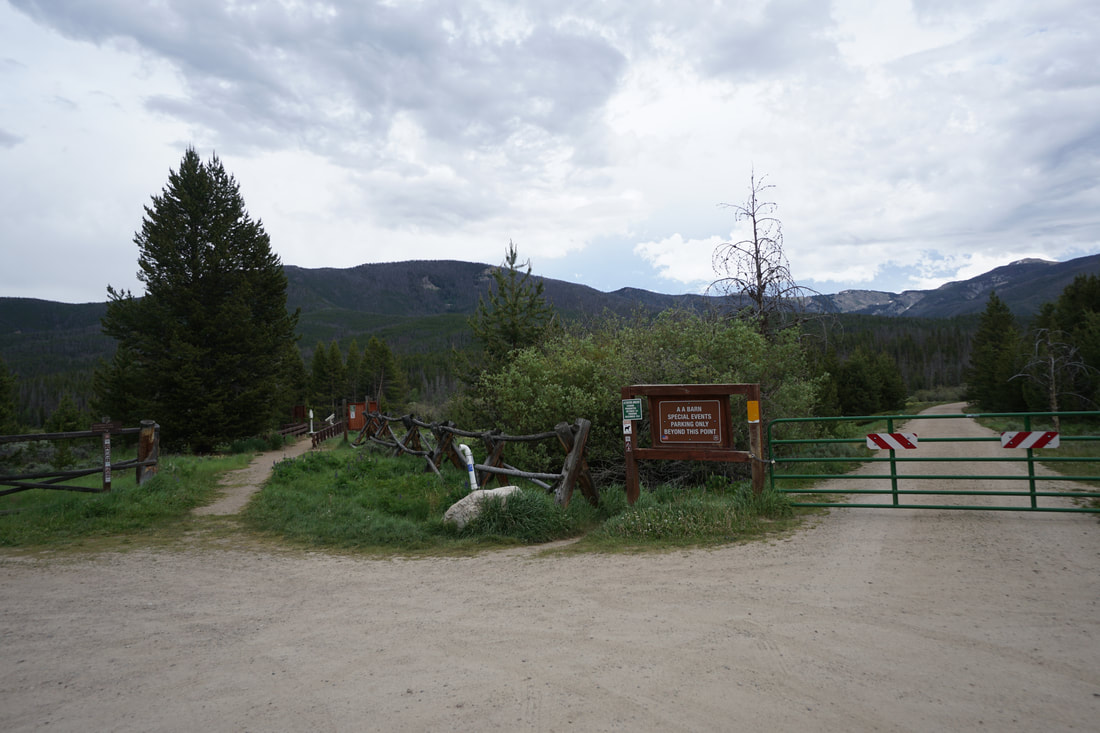
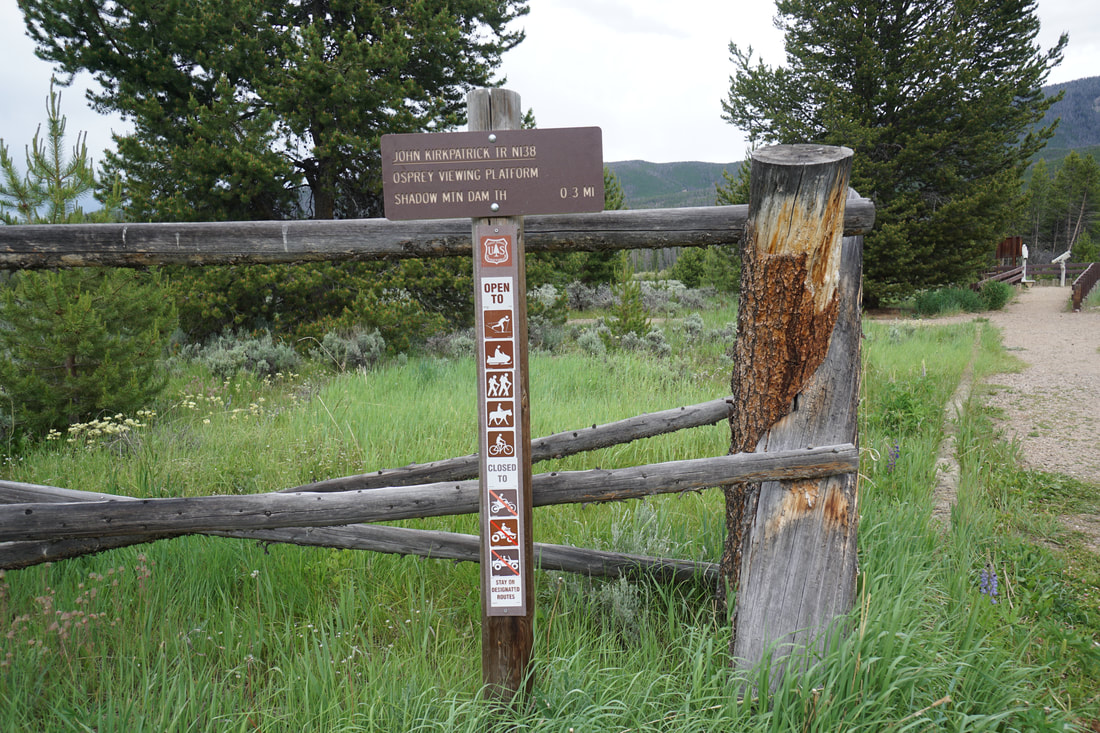
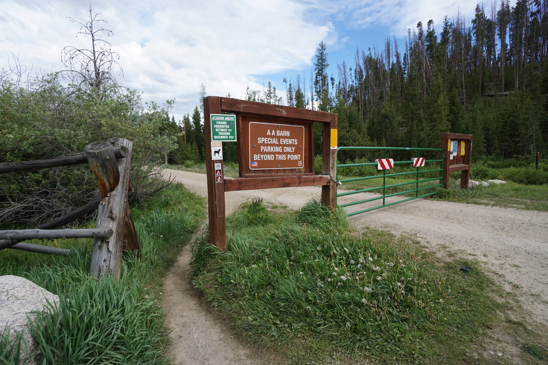
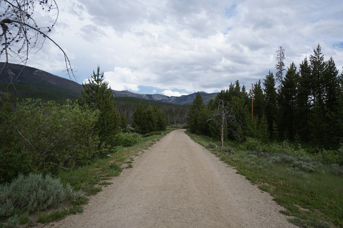
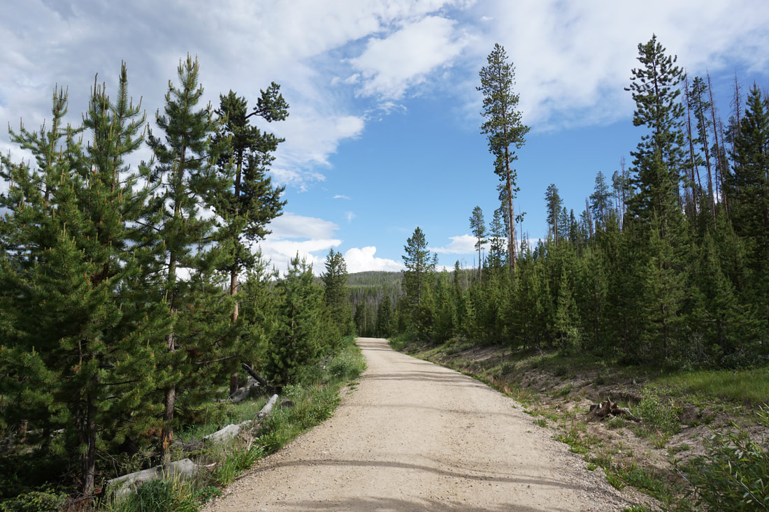
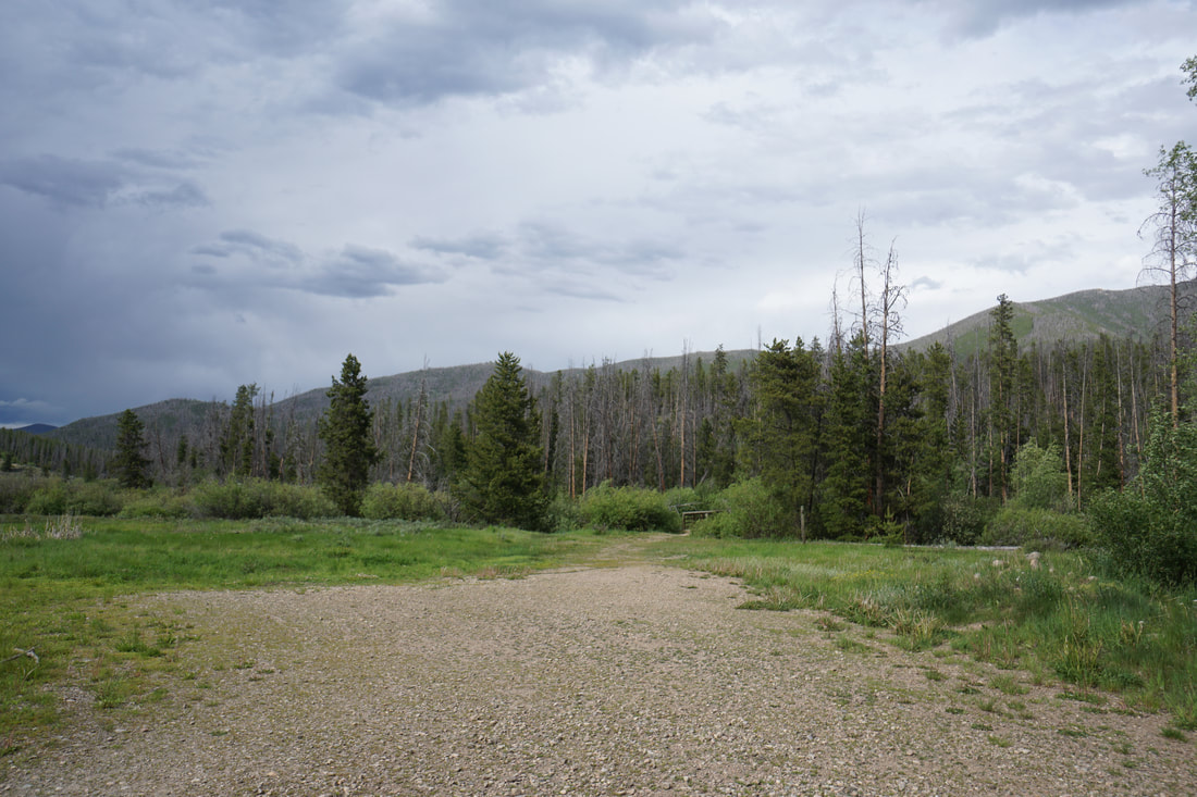
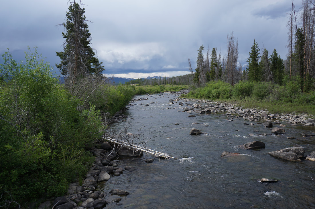
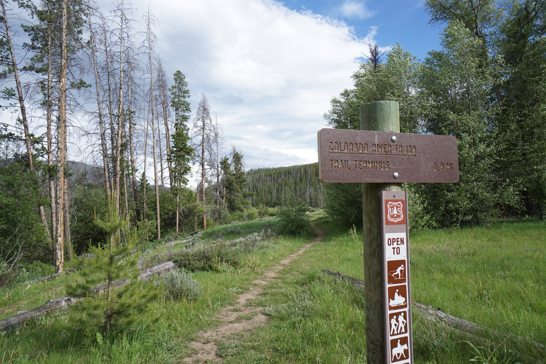
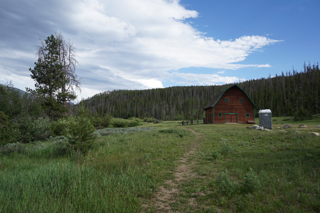
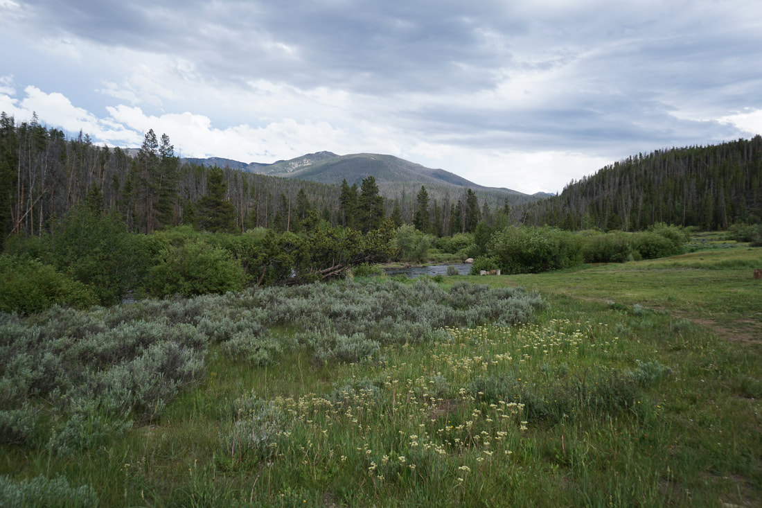
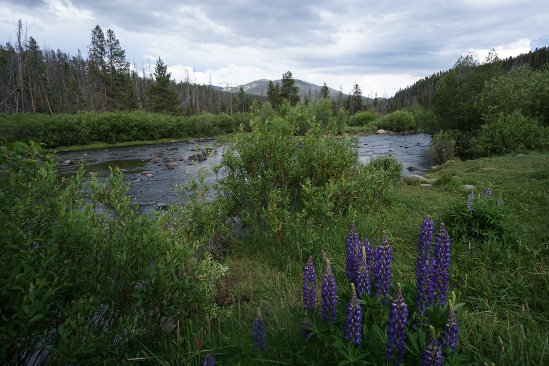
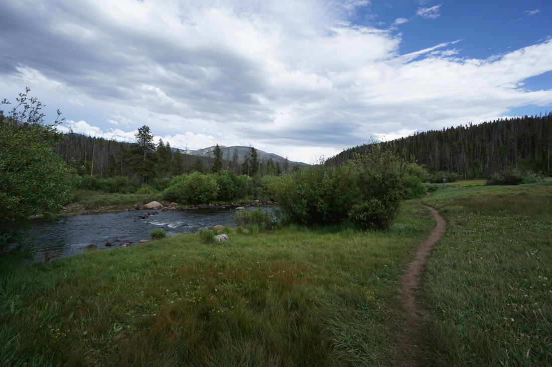
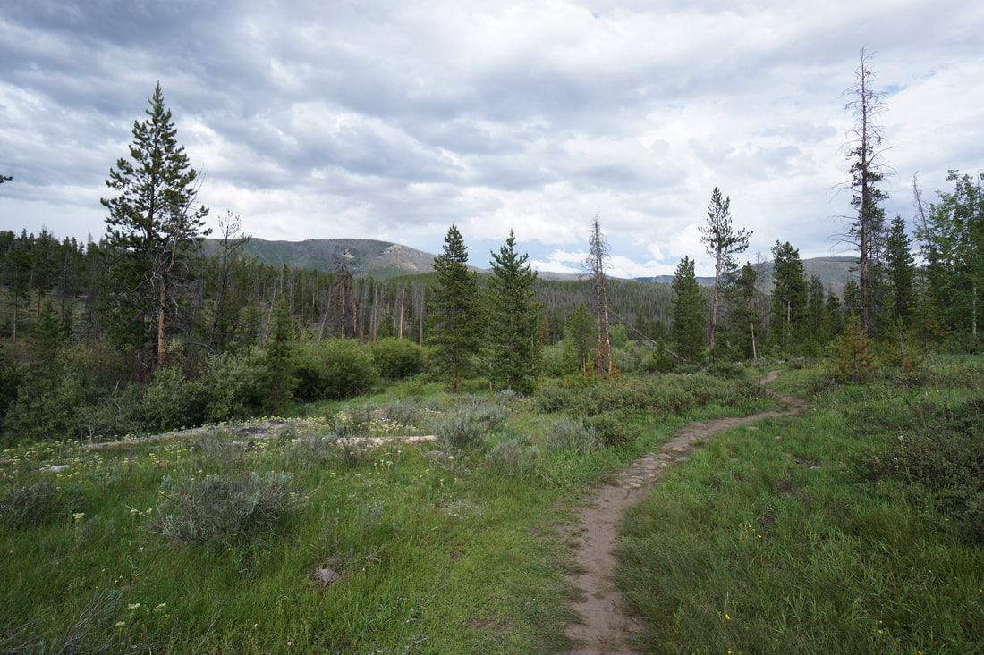
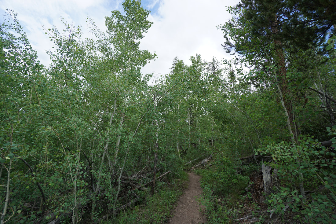
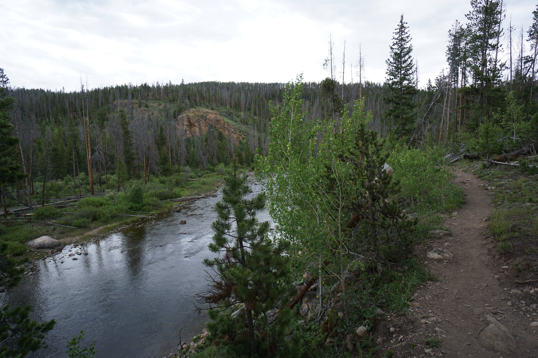
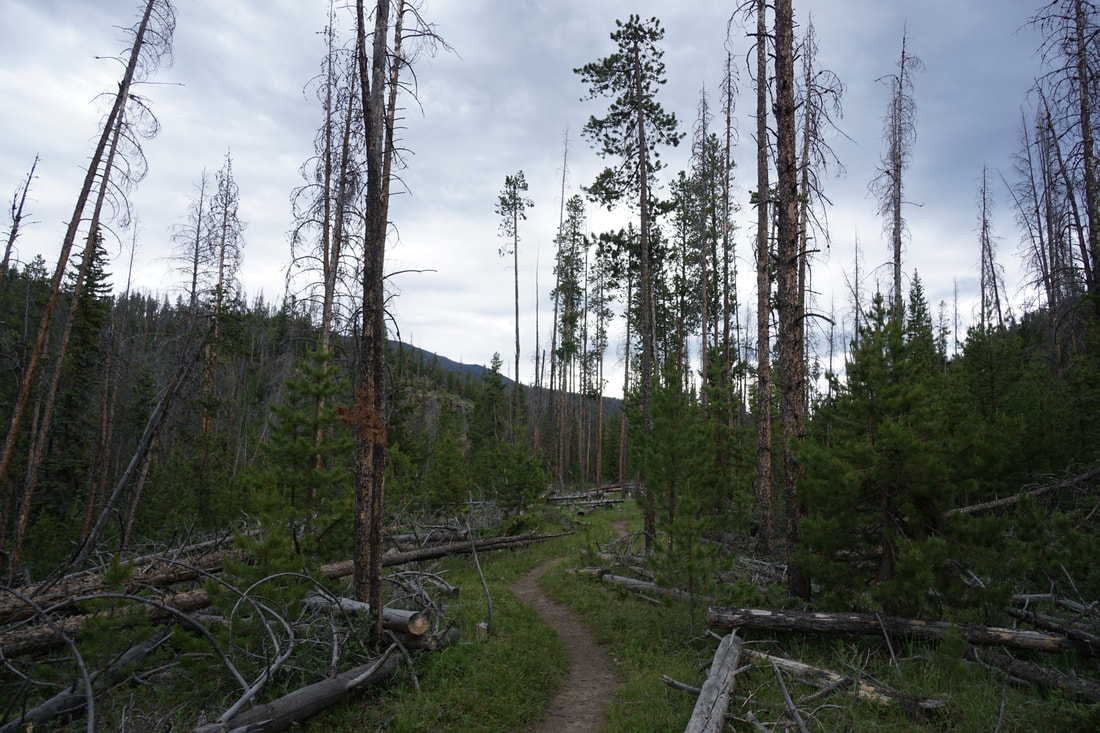
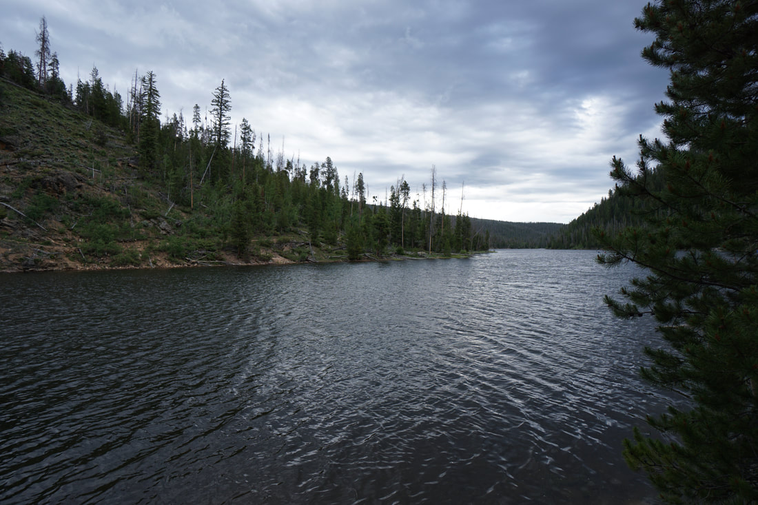
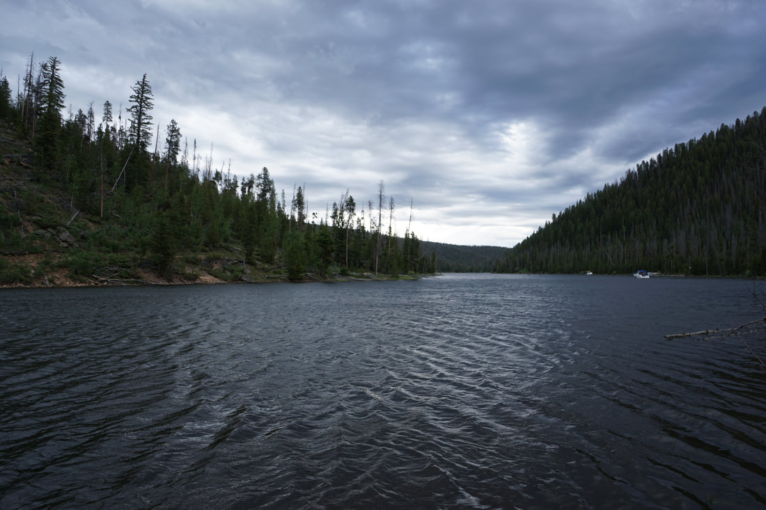
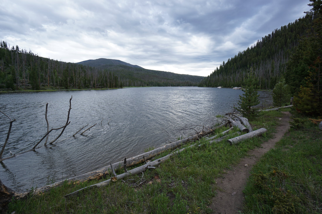
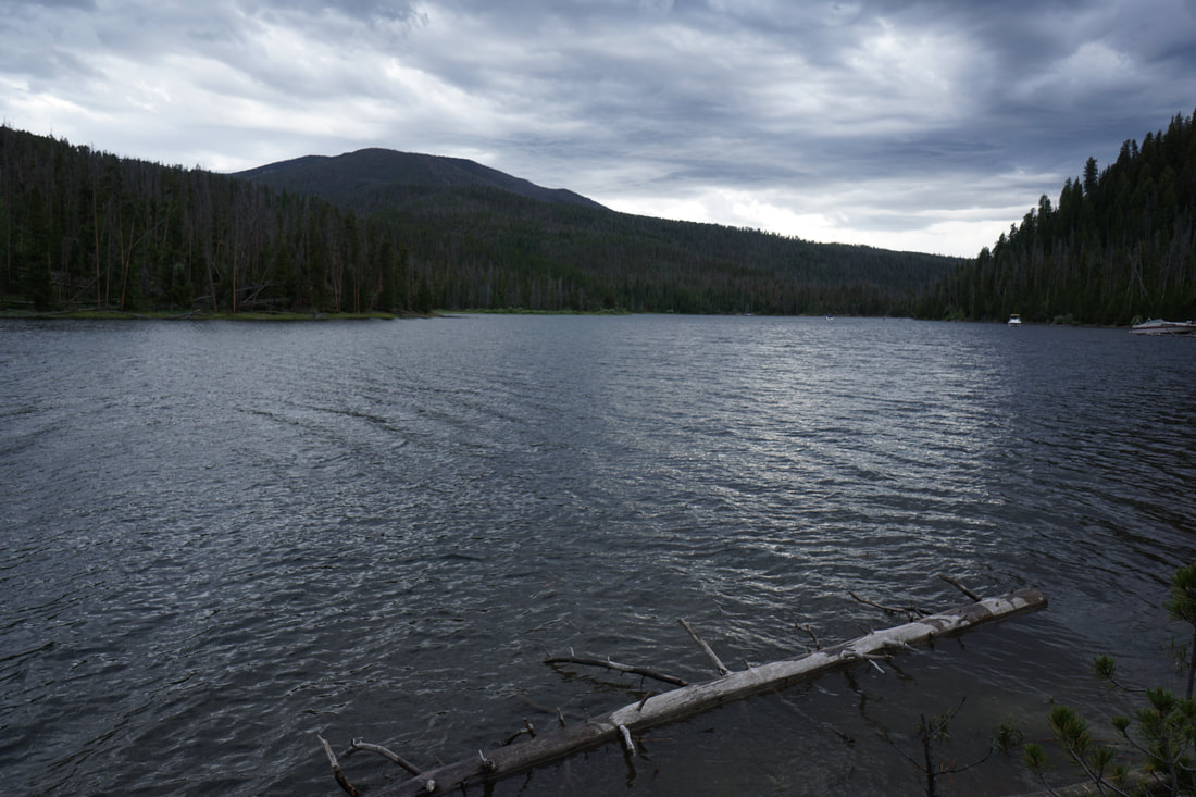
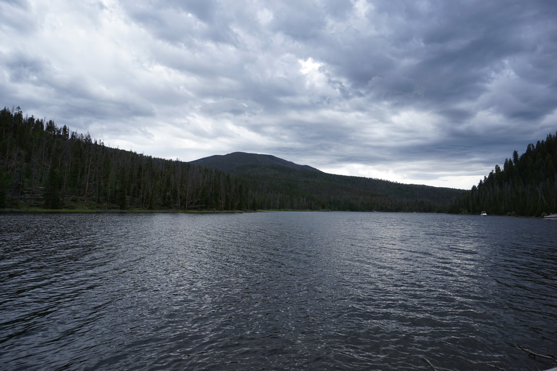
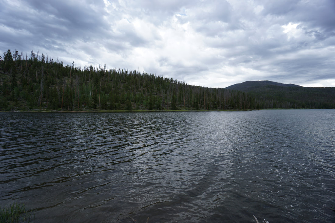
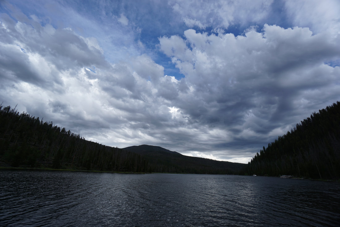
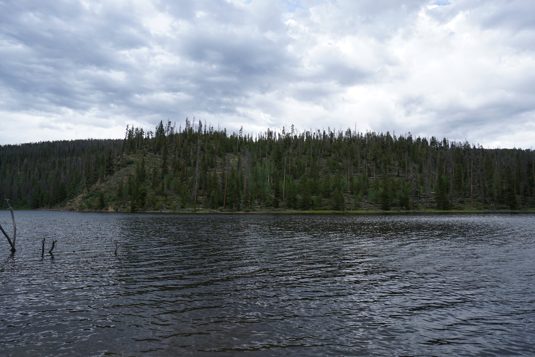
The Colorado River Trail heading south to Columbine Bay is just across the river from Rocky Mountain National Park. To get to the trailhead, you need to park at the end of the road, just after the Green Ridge Campground, at the gate closing the road to motorized vehicles. Before you begin the hike, check out the Osprey viewing platform to try and spot some of the elusive raptors. Pass through the gate and follow the dirt road for a quarter of a mile to the parking area for the AA Barn. The trailhead starts just before the bridge crossing the Colorado River. The trail starts off as a beautiful hike along the River with nice views and an abundance of wildflowers. The trail then crosses a meadow with views of tree covered hills, enters an aspen and pine forest and climbs a small hill before descending down to the shores of Columbine Bay. Columbine Bay is frequented by boaters coming in from Lake Granby, also within the National Recreation Area, and camping along its shores. That being said, the large bay retains a quiet and peaceful charm. The trail stops shortly after reaching the bay so you can't explore too far, but the bays inlet is especially peaceful and makes for a worthy hiking destination. This short hike is great for kids and perfect for an evening hike if you are camping in the area. |
|
- HOME
- ABOUT
-
HIKES BY REGION
-
NATIONAL PARK HIKES
- BENT'S OLD FORT NATIONAL HISTORIC SITE
- BLACK CANYON OF THE GUNNISON NATIONAL PARK
- COLORADO NATIONAL MONUMENT
- CURECANTI NATIONAL RECREATION AREA
- DINOSAUR NATIONAL MONUMENT
- FLORISSANT FOSSIL BEDS NATIONAL MONUMENT
- MESA VERDE NATIONAL PARK
- ROCKY MOUNTAIN NATIONAL PARK
- GREAT SAND DUNES NATIONAL PARK
- HOVENWEEP NATIONAL MONUMENT
- SAND CREEK MASSACRE NATIONAL HISTORIC SITE
- YUCCA HOUSE NATIONAL MONUMENT
- HIKES BY CATEGORY
- NEWS
- WEBCAMS
- $UPPORT GHC
- INTERACTIVE MAP
Columbine Bay (Colorado River Trail)
Arapaho National Recreation Area
Arapaho National Forest
Date Hiked: June 26, 2020
Distance: 2.6 mi (RT)
Elevation Gain: 300 ft
Elevation Min/Max: 8,248 to 8,346 ft
Trailhead Lat/Long: 40.20460, -105.84053
Managing Agency: U.S. Forest Service
Fee: None