|
Directions: Take the South Academy Exit of I-25, just south of Colorado Springs, head west on S. Academy to Hwy 115. Make a left on 115 and a right on JL Ranch Heights Road. Follow the signs to the park.
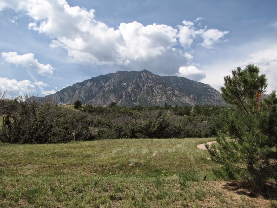
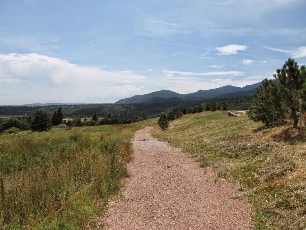
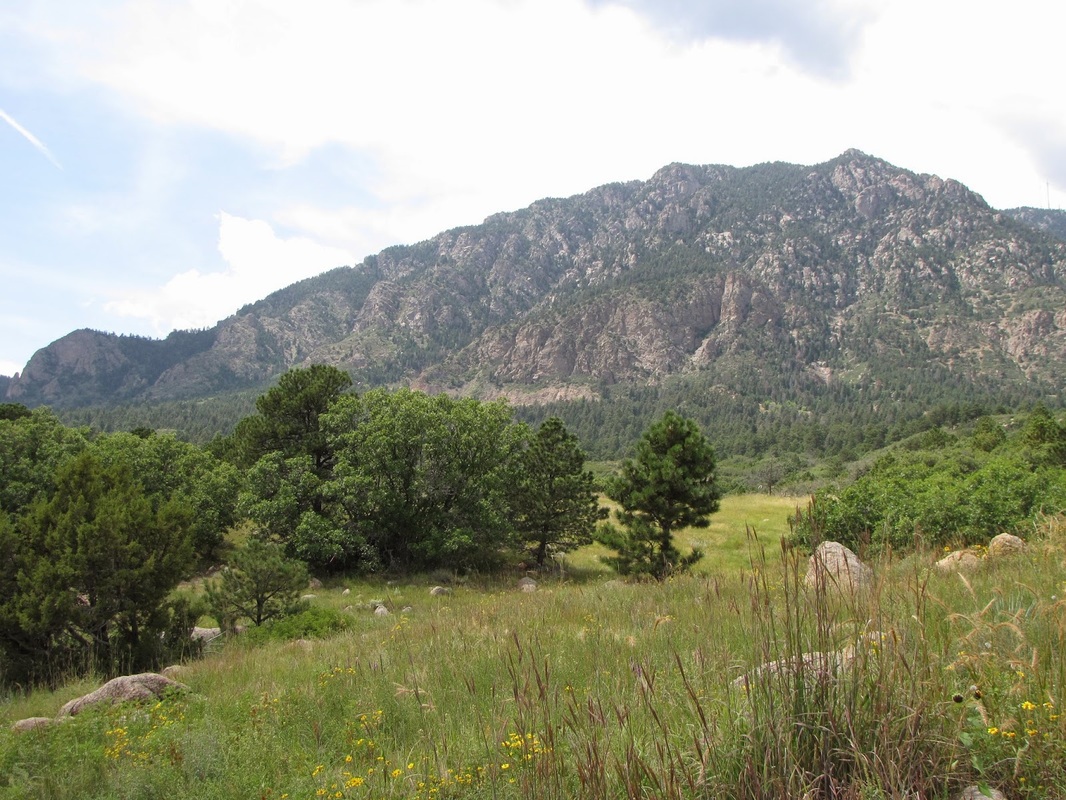
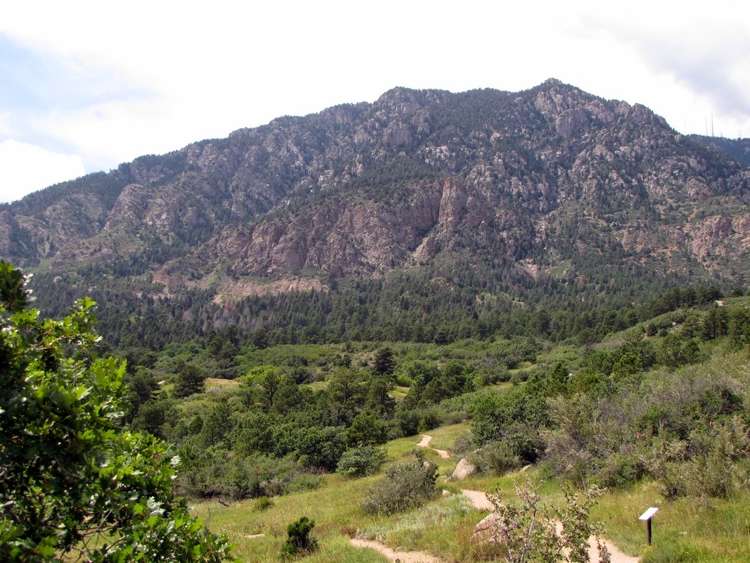
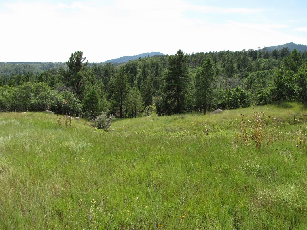
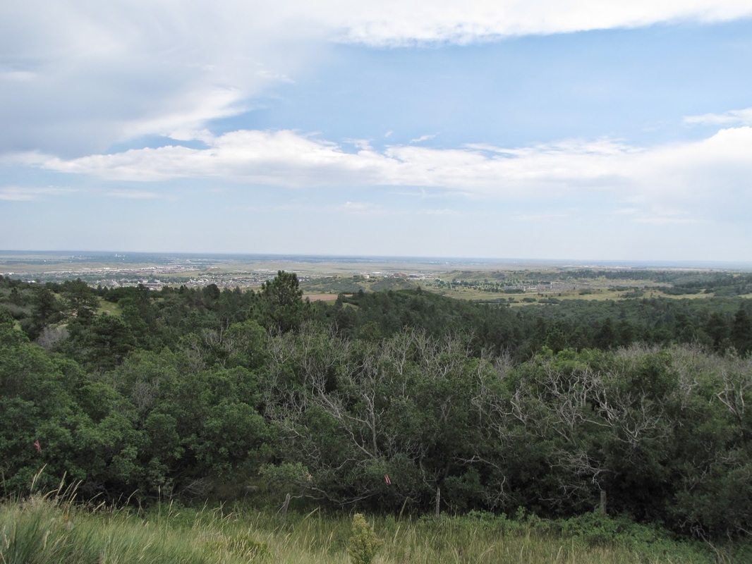
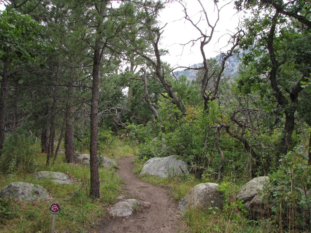
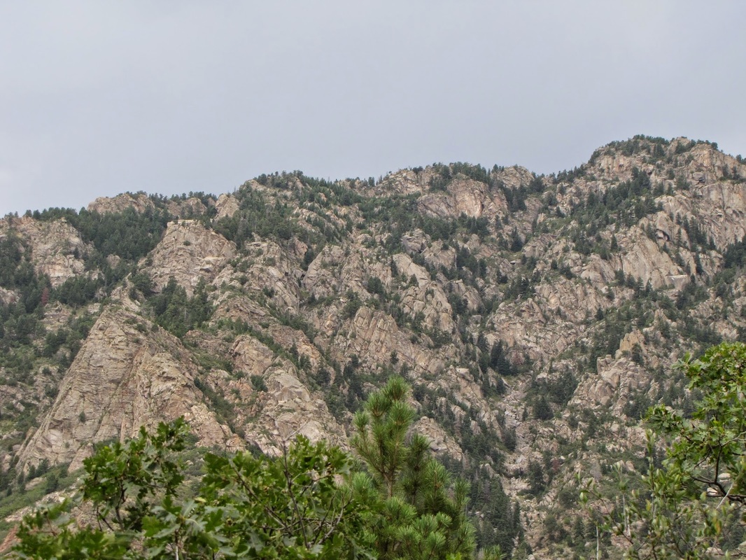
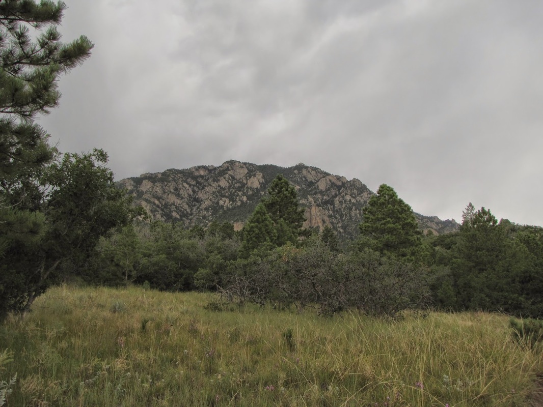
Cheyenne Mountain is a wonderful State Park for hiking, just on the southern edge of Colorado Springs. The top of Cheyenne Mountain is not yet accessible but I understand that they are building trails as we speak. The current trail system skirts the lower portions of the mountain and provide nice views of the mountain itself and the plains east of Colorado Springs. To access the Blackmer Loop you start out for just a short time on the Boulder Run Trail before joining the loop. This loop is a great hike as it features great views of Cheyenne Mountain's rocky outcroppings. The trail weaves through forest and open meadows and connects to various other trails if you want a longer hike. At 3.5 miles and almost 1000 feet elevation gain, this is a good moderate hike in the heart of the park. Be sure to check out Trinity Brewing Company for your post hike refreshments! Keep checking the park's website as the top of the mountain should be an incredible hike. |
|
- HOME
- ABOUT
-
HIKES BY REGION
-
NATIONAL PARK HIKES
- BENT'S OLD FORT NATIONAL HISTORIC SITE
- BLACK CANYON OF THE GUNNISON NATIONAL PARK
- COLORADO NATIONAL MONUMENT
- CURECANTI NATIONAL RECREATION AREA
- DINOSAUR NATIONAL MONUMENT
- FLORISSANT FOSSIL BEDS NATIONAL MONUMENT
- MESA VERDE NATIONAL PARK
- ROCKY MOUNTAIN NATIONAL PARK
- GREAT SAND DUNES NATIONAL PARK
- HOVENWEEP NATIONAL MONUMENT
- SAND CREEK MASSACRE NATIONAL HISTORIC SITE
- YUCCA HOUSE NATIONAL MONUMENT
- HIKES BY CATEGORY
- NEWS
- WEBCAMS
- $UPPORT GHC
- INTERACTIVE MAP
Blackmer Loop
Cheyenne Mountain State Park
Distance: 3.5 mi (RT)
Elevation Gain: 837ft
Managing Agency: Colorado State Parks
Fee: Yes