|
DIRECTIONS: From Crawford, CO, head south on Highway 92. Just south of Crawford State Park (3 miles south of Crawford), turn west on Black Canyon Road. Follow the road signs to the park. The last 7 miles are not paved but most vehicles should be able to make it in decent weather. The trail starts at the North Rim Campground, just follow the signs.
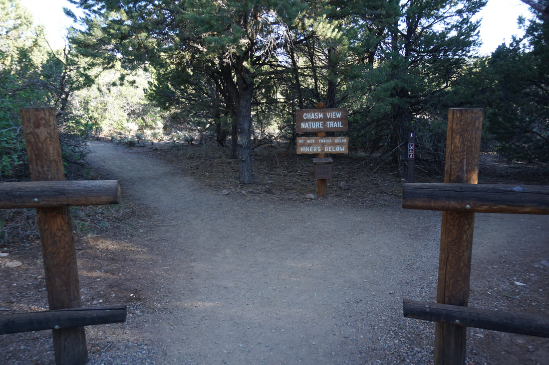
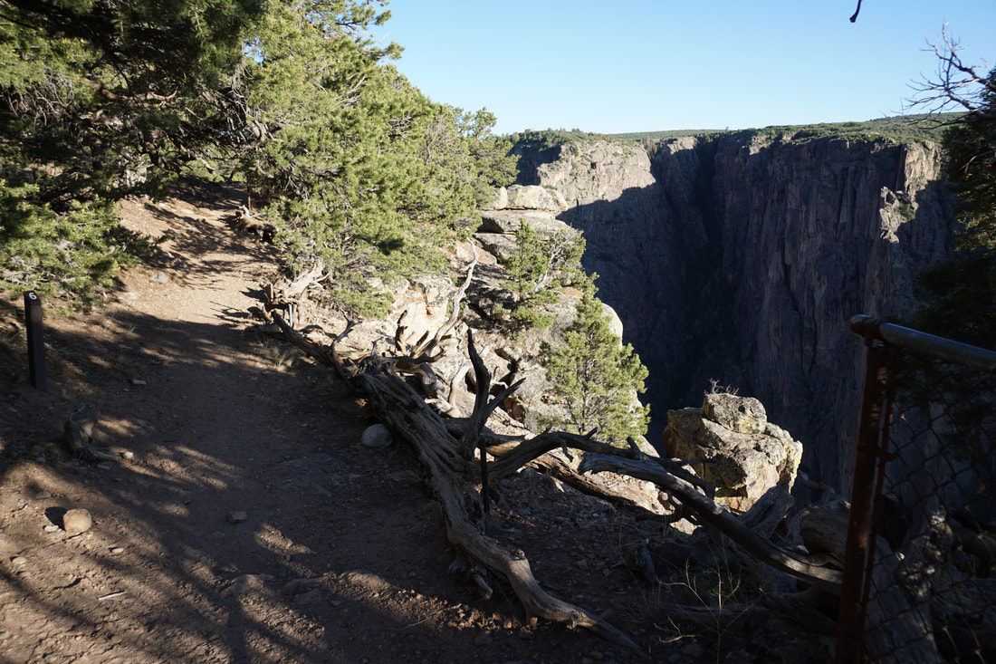
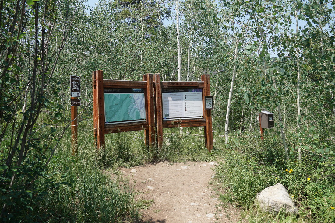
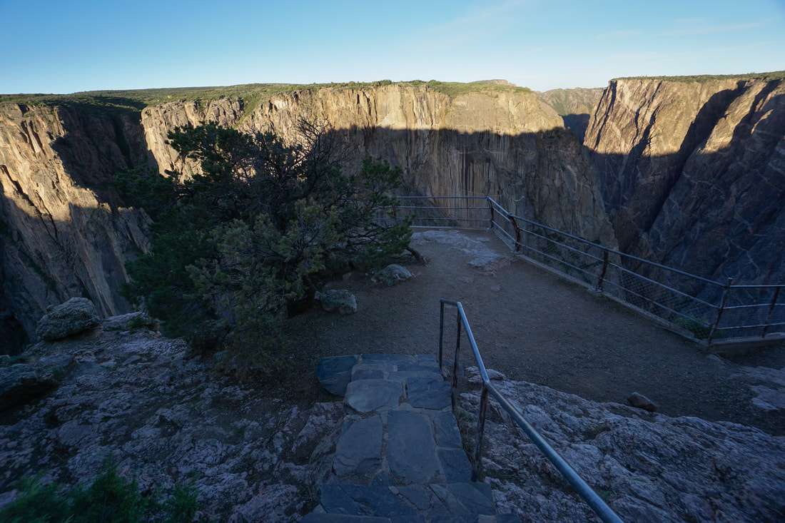
Black Canyon of the Gunnison's spectacular north rim contains some of the most scenic hikes in the park. The Chasm View Nature Trail is probably the easiest of those hikes but no less awe inspiring. The short nature trail is made for a quick educational tour of the natural resources being protected at Black Canyon, with numbered stops along the way and an interpretive guide available at the trailhead. The hike is perfect for young kids and is a great evening hike if you are staying at the North Rim Campground, which I strongly suggest you do...
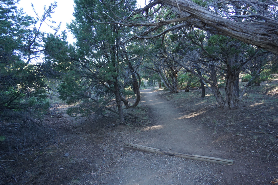
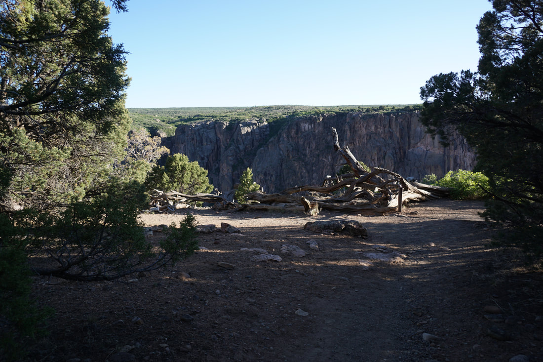
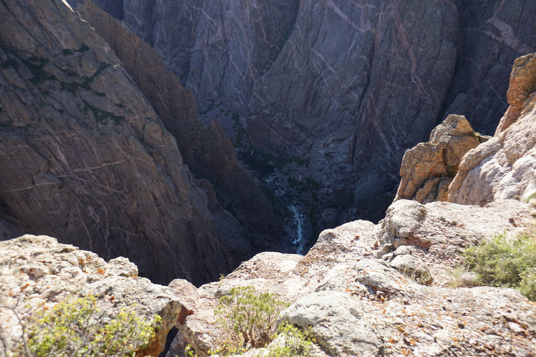
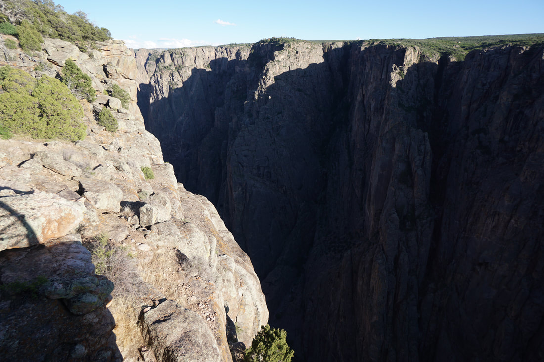
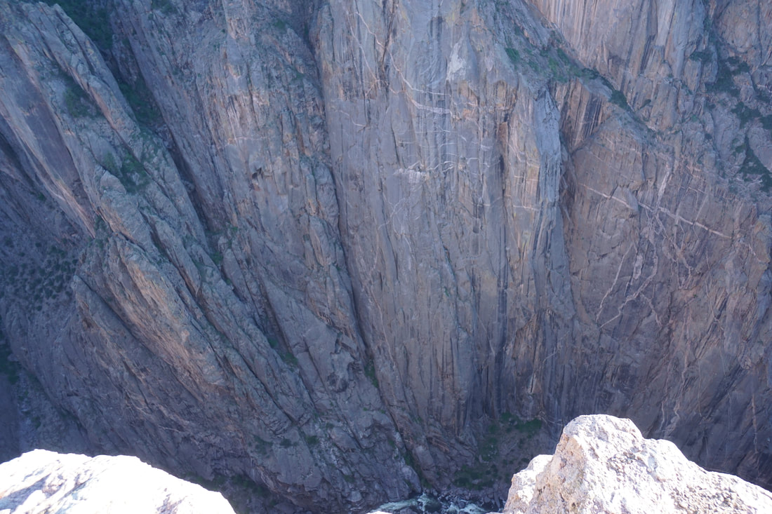
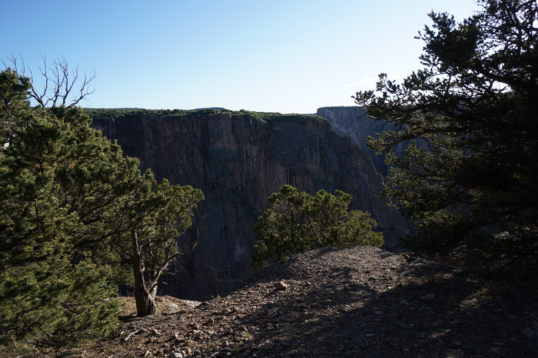
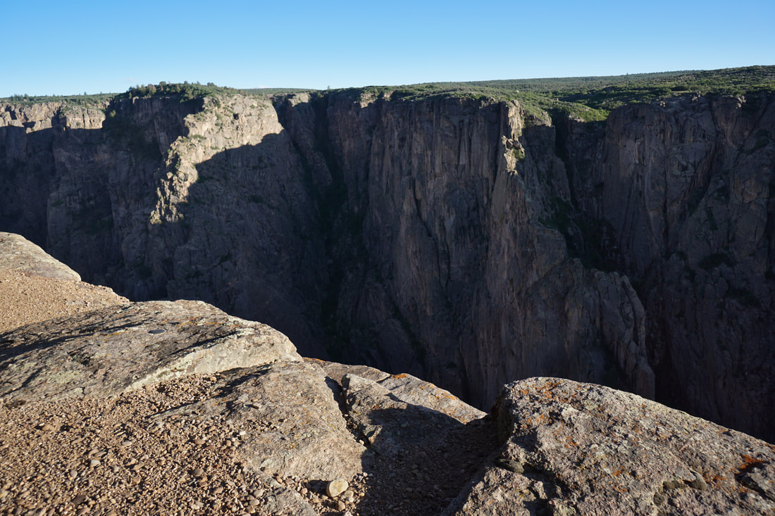
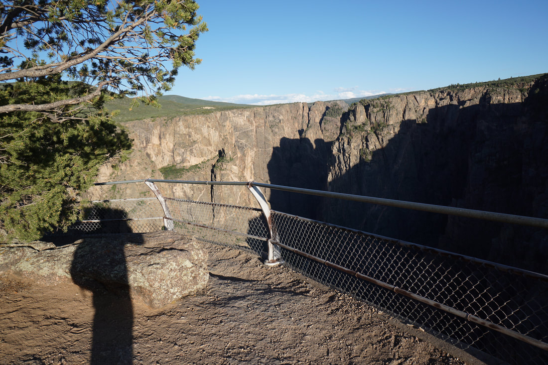
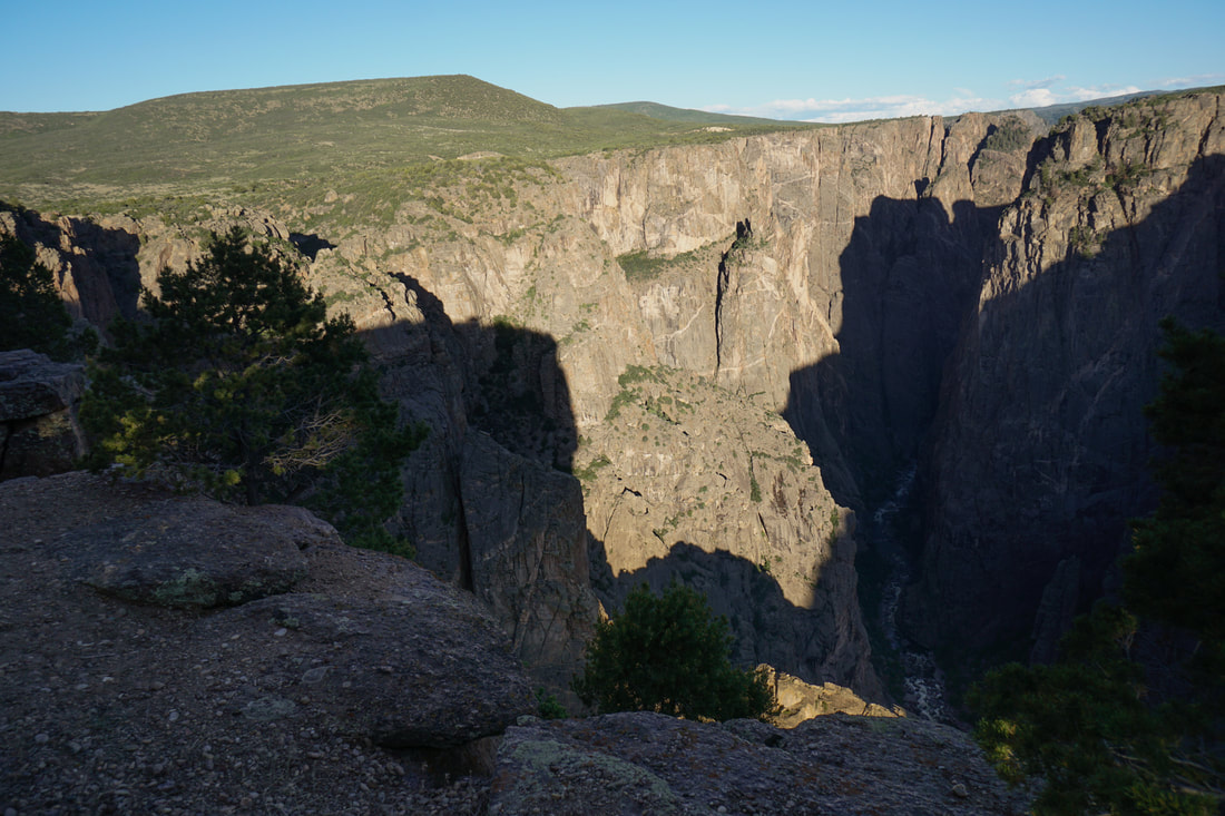
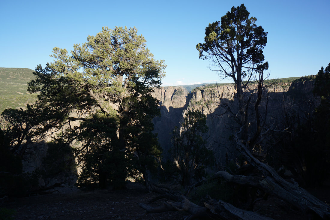
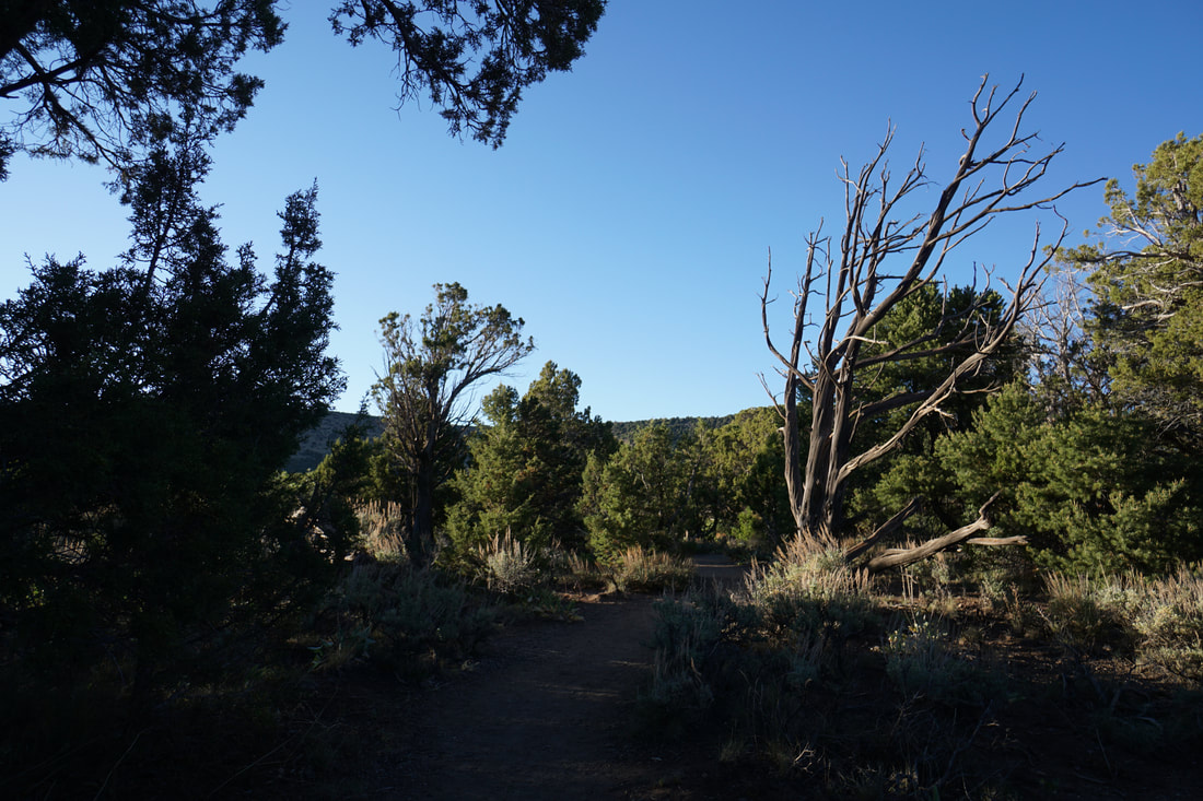
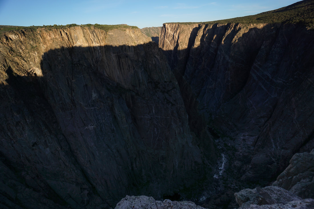
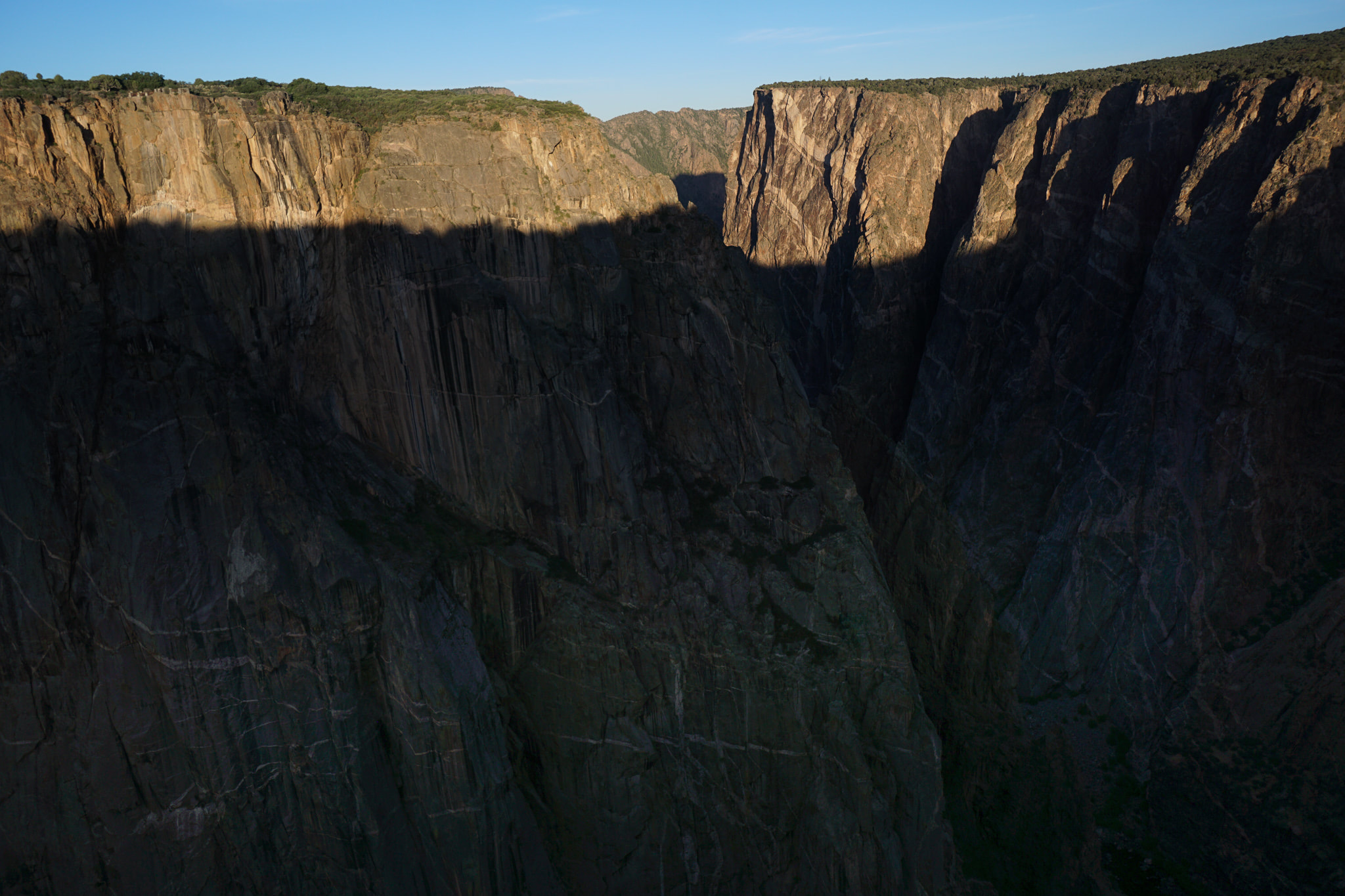
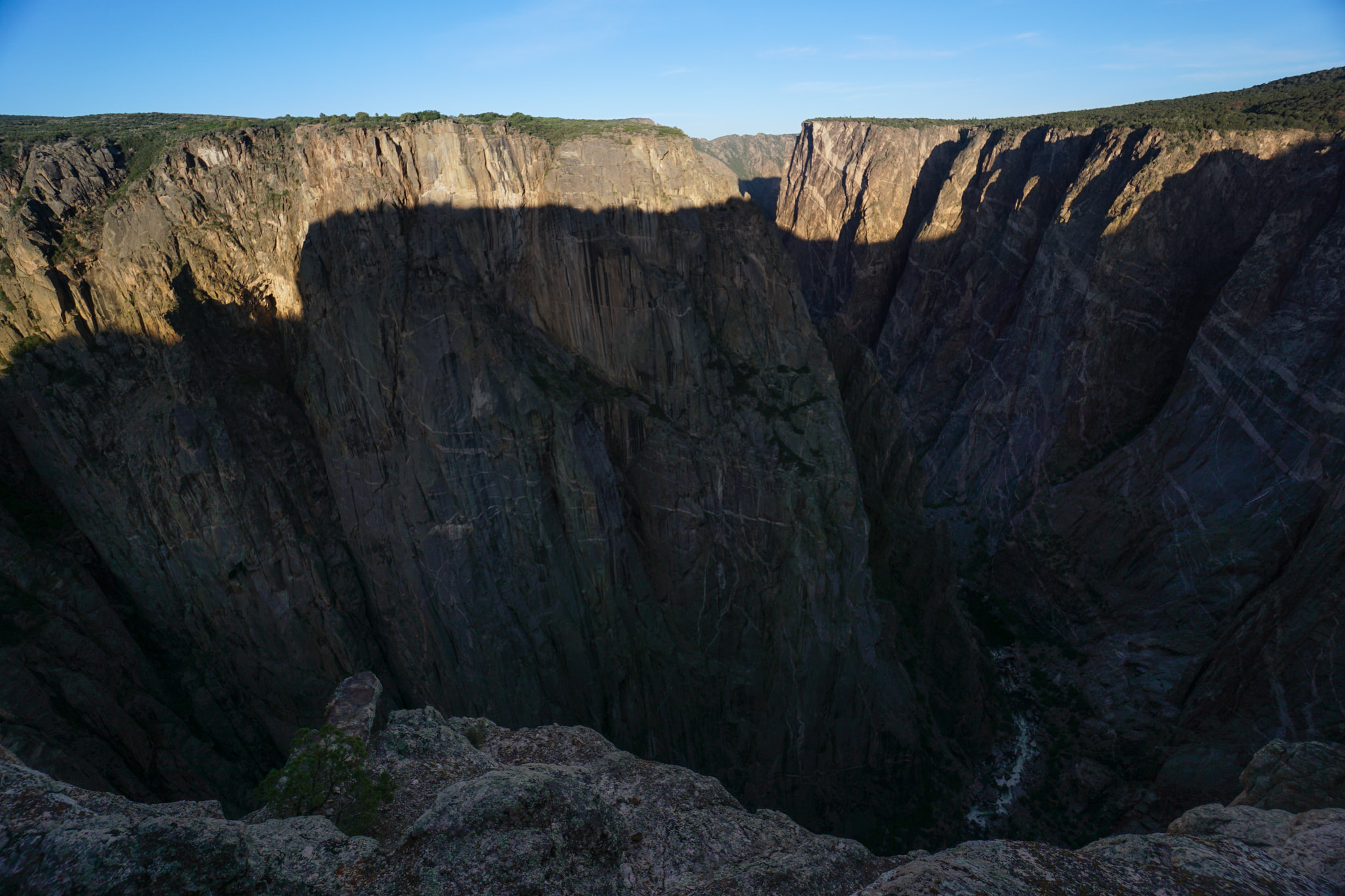
The hike begins in the campground near a day-use parking area. To follow the designated stops along the way, hike the loop counter clockwise by turning right at the trailhead. The first part of the trail heads through the juniper and pinyon forest and leads to an incredible viewpoint. The viewpoint looks across the canyon to the Painted Wall, one of the parks most spectacular attractions. This spot is absolutely incredible in the morning when the early morning sun lights up the Painted Wall. The trail then turns to the southeast and follows the rim of the canyon to the second viewpoint. This viewpoint is also an amazing sight to see with the Gunnison River carving its way along more than 2,500 feet below. From here the trail turns back to the north and climbs away from the rim back to the trailhead. This is just a quick little hike but you can learn a lot about the surrounding environment and what makes Black Canyon of the Gunnison such a special place. Educational and incredible. |
|
- HOME
- ABOUT
-
HIKES BY REGION
-
NATIONAL PARK HIKES
- BENT'S OLD FORT NATIONAL HISTORIC SITE
- BLACK CANYON OF THE GUNNISON NATIONAL PARK
- COLORADO NATIONAL MONUMENT
- CURECANTI NATIONAL RECREATION AREA
- DINOSAUR NATIONAL MONUMENT
- FLORISSANT FOSSIL BEDS NATIONAL MONUMENT
- MESA VERDE NATIONAL PARK
- ROCKY MOUNTAIN NATIONAL PARK
- GREAT SAND DUNES NATIONAL PARK
- HOVENWEEP NATIONAL MONUMENT
- SAND CREEK MASSACRE NATIONAL HISTORIC SITE
- YUCCA HOUSE NATIONAL MONUMENT
- HIKES BY CATEGORY
- NEWS
- WEBCAMS
- $UPPORT GHC
- INTERACTIVE MAP
Chasm View Nature Trail
Black Canyon of the Gunnison National Park
Date Hiked: June 19, 2020
Distance: .5 mi (RT)
Elevation Gain: 100 ft
Elevation: 7,758 ft
Trailhead Lat/Long: 38.58501, -107.70908
Managing Agency: National Park Service
Fee: None